My Trip Info:
Ascent: 8156ft (2486m)
Distance: 18.8mi (30.3km)
Group Size: 2
Day Count: 2 (19h 23m Total)
More stats...
Mountain(s) Climbed:
Snowfield Peak
Trip Report Writeup
Day 1
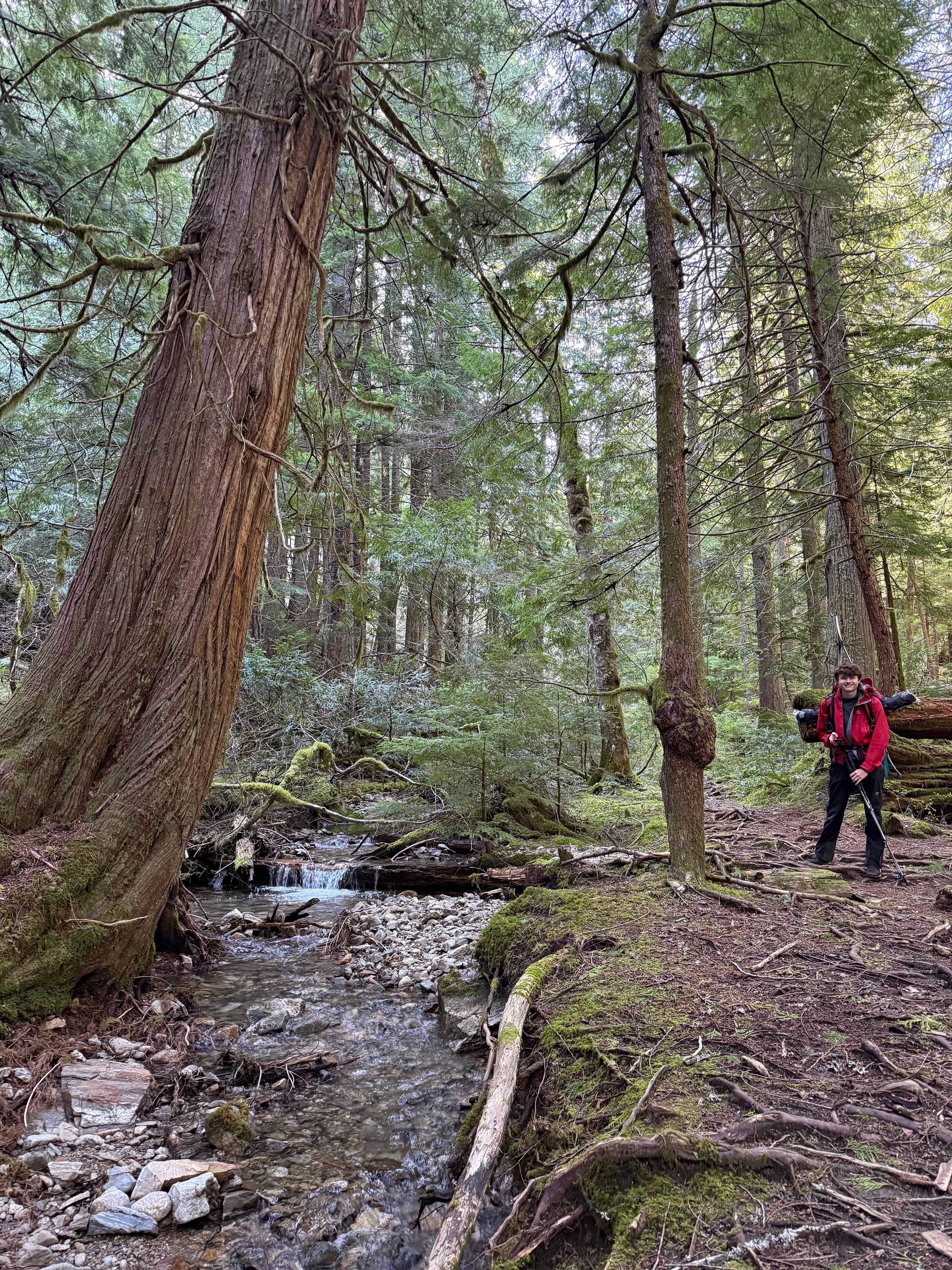
We started up to Pyramid Lake around 9 from the trailhead at 1120'. The trail didn't have nearly as many blowdowns and brush as I'd expected, considering that it hadn't been maintained yet in 2026. I find it quite funny that Pyramid Lake is marketed by the forest service as a day hike — the lake is nothing more than a yucky bog surrounded by some uninspiring forest. It also only took us just over an hour to the lake — with overnight packs and our skis & boots strapped on too — not much of a hike.
Long ski carry slogs are fun
The bog of a lake: Pyramid Lake
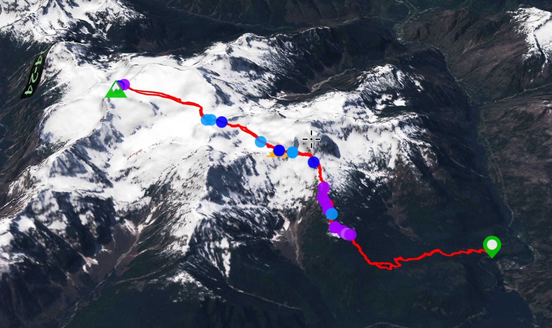
We took the climbers trail up through the forest to where the consistent snow started at 4200'. The trail had some mild bushwacking sections, but was easy enough to follow. However, we did realize our path was off the typical trail marked on the map; we realized we took the "new" trail, which we found out why was put in after taking the old trail down on the way out.
The new trail avoids a lot of the steep sections and up&downs of the old trail
We started skinning soon after the consistent snow start at 4200', and left our trailrunners in some trees below. However, there was lots of popping off until 5400'. There was a cliff band around 4400' where we had to carry skis a bit. There was another around 4600', where we a-framed as we could see it was going to be quite long. We switched back to skinning around 4880', only to skin to 5000' before a-framing again. We could finally consistantly skin just before 5400', but the snow was very icy so we put on ski pons. It was already 15:20 at this point, which was much later than we'd expected. Fortunetly, being able to skin sped things up a lot, and I was to the traverse at 5800' by 15:45.
Colonial's North Face from 4600'
A-framing up one of the many steep sections
Jack rising above Ross Lake
Looking up at Pyramid Peak from the ridge at 5600'. The high traverse goes across the snow below
On the ridge at 5600'
We had heard a lot of different accounts of the traverse, from avy problems to sketchy, icy snow. Luckily, we were going on a very low avalanche danger window, and from tracking the nearby weather, we concurred the danger around snowfield would be near none. Due to this decision, we had left avy tools behind in order to save weight. We figured if the traverse looked bad, we'd just turn back.
However, we already knew based on observing nearby slopes that the risk was very low, and once I got to the traverse, I could tell it was beyond safe. I skinned out across the traverse, roughly following an old snowshoe track from the weekend prior. It wasn't easy skinning, but was fine enough with ski pons. I got off the steep traverse not long after starting and followed the gully to the glacier lake.
On the traverse
I made it to the base of the glacier lake at 16:10, in about 7h 20m from the trailhead. I felt as though most of the ascent was just waiting for my partner, so this trash time makes sense. A time of 5 hours is more reasonable.
I decided we'd camp just off the lake, as there was flowing water just below in a large snow pit. I dropped my pack there and then went and checked out the glacier lake. Some sections of the lake were melted, mostly around the icebergs, but it was pretty well frozen over otherwise. I did some tele skiing off the tops of the icebergs for fun and returned to set up camp about 10 mins after I left.
View from the close side of the lake
Somehow exposed flowing water
Neve Peak from on the lake
Looking back at where I dropped my pack (also where I planned to camp)
Colonial and Neve Peak
Ice formations on a rock in the centre of the lake
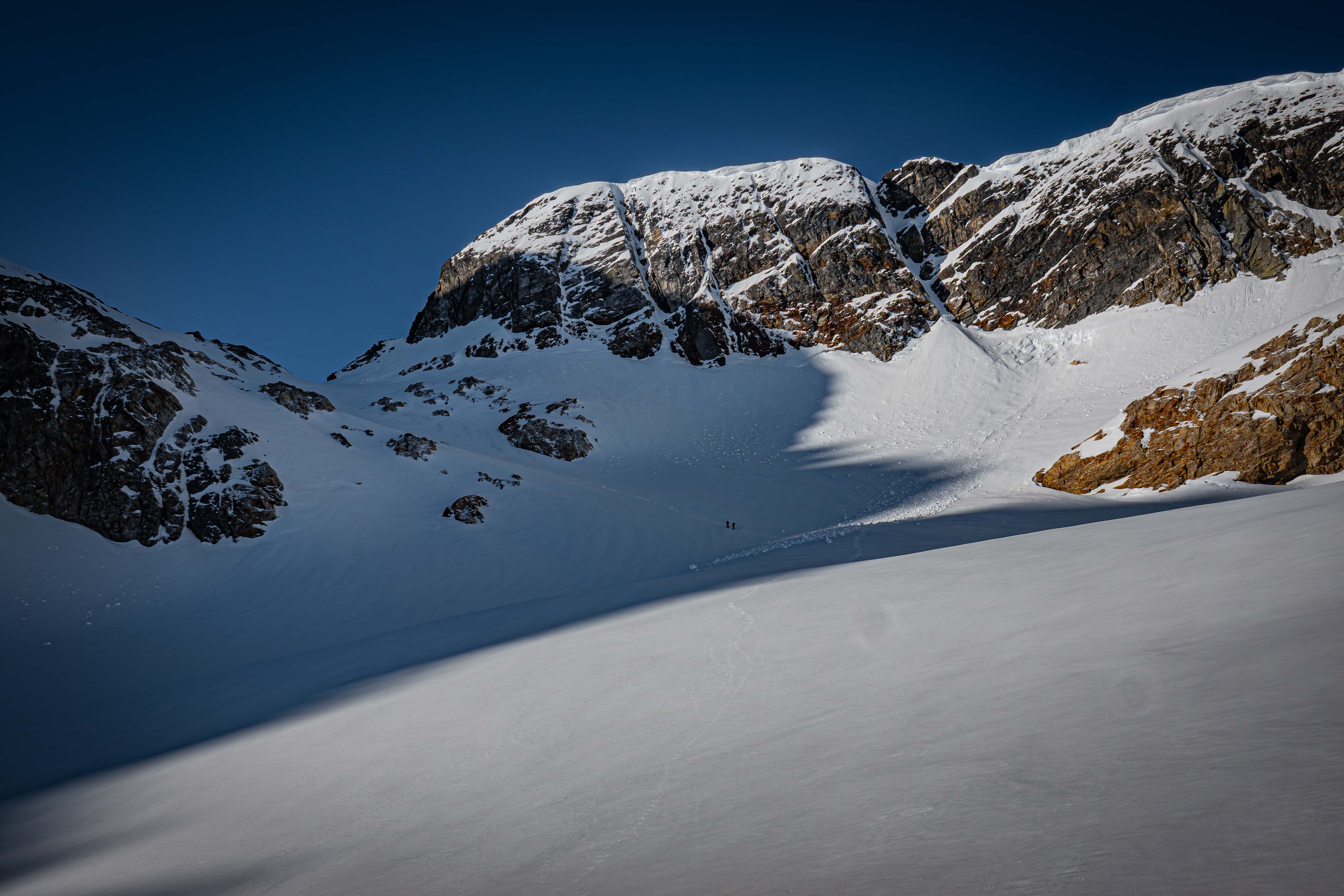
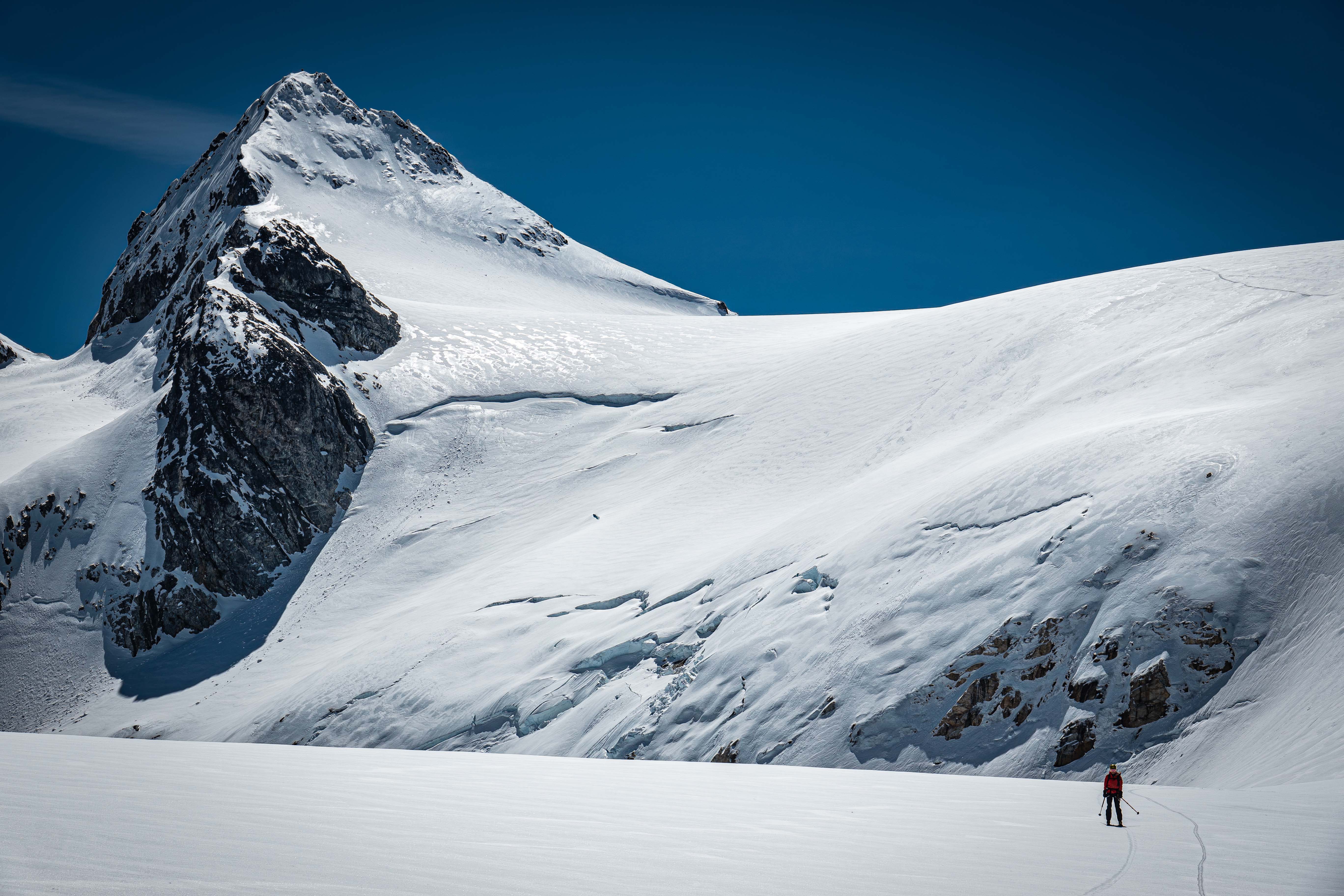
Looking up at the Colonial Glacier
Lots of cool icebergs on the lake
I was able to completely set camp before my partner arrived around 17, then we went to filter some water. While filtering water just before dark, a group we'd talked to at the trailhead started showing up. They had started just a little after us, but got there around 2-3 hours later. Though the reason for this slow pace was obvious: they had no skis or snowshoes, so they boot packed the entire route up. Seemed like a lot of work to me, but their group was massive so I guess that works.
Our camp setup
Getting water before heading to bed
Day 2
We started late-ish at 7:30 the next day to hit the Colonial Glacier under some sunlight. We were able to skin up the entire glacier. There was a group of two skiers ahead of us who set a decent skin track, though there wasn't much trail to break as the snow was quite packed. We could also see that the large party of non-skiers had already been up.
Skinning across the lake
Me on the base of the Colonial Glacier
Headed up the Colonial Glacier; the group of two skiers just ahead
The lake from high on the Colonial Glacier
Paul Bunyan's Stump, Pinnacle Peak, and Pyramid Peak (from left to right) as seen from high on the Colonial Glacier
I made it to the saddle at the top of the glacier less than an hour from camp. My partner was caught behind, so I figured I'd wait a bit. The group of two skiers were at the saddle too, hiding a little below to stay out of the wind. I talked to them and it sounded like one of their skis were broken. The other party member wanted to continue on and ski the Neve Glacier, but they were newer to skimo, so they asked if I would ski down with them. I agreed and radiod my partner than I would be heading down.
Skiing down to the Neve Glacier was icy so early in the day (around 8:30). I accidentally went what seemed like the wrong way at a point, so I butslid back up a bit; however, both routes would've been fine. We took a steep little chute down to make the cut left easier. We both made it down to the Neve Glacier without much problem. The skier I was with was quite impressively good at skiing for being new to the backcountry — guess they did lots of resort days.
The slope down from the saddle, the gully we skied in pink
While transitioning, my partner reached the saddle and tried to ski down. They had a whole bunch of problems with the ice and their bindings popping off, so they ended up trying to walk down most of it. The skier I was with decided they felt confident skinning up the Neve on their own, so they followed up the bootpack set by the other group. I eventually got sick of waiting for my partner, so I headed up the Neve as well.
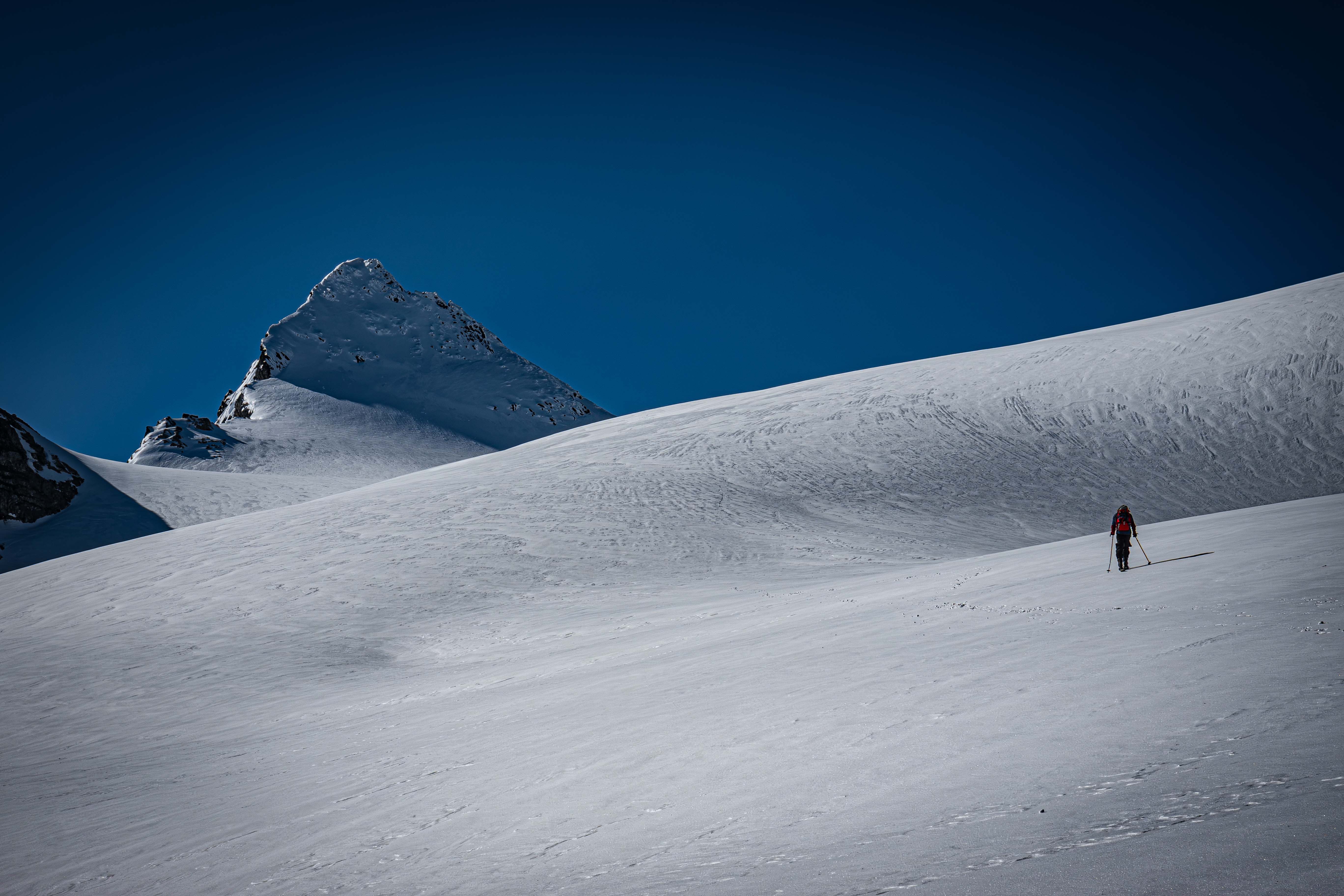
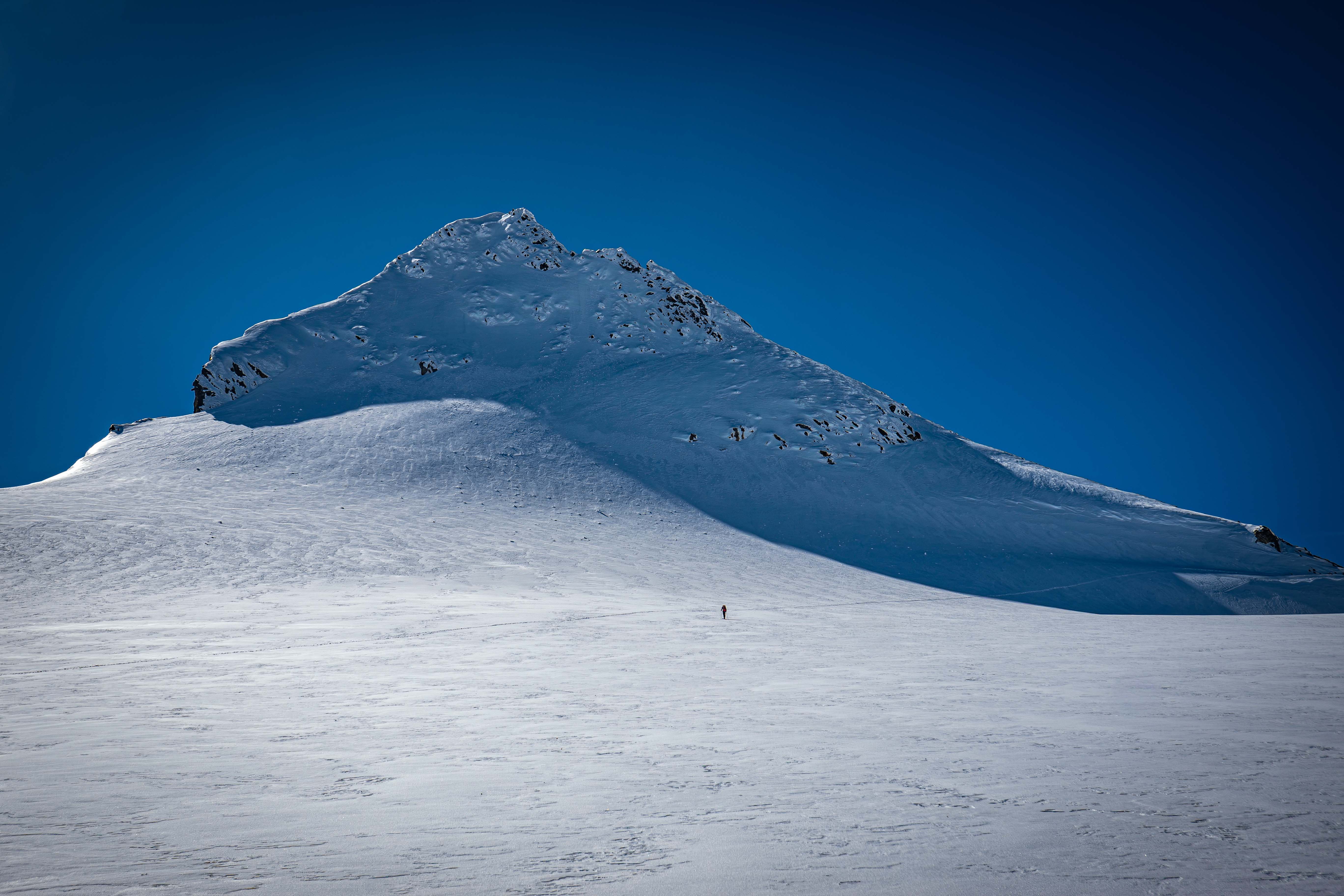
The summit block of Snowfield from the base of the Neve Glacier
The other skier heading up the Neve
Skinning up the Neve was fast and easy. Nothing even remotely worrying on the route up the glacier; we didn't bring glacier gear, but even if we did we wouldn't have used it. I skinned up to a spot on the west ridge of Snowfield where the group in front of us went to — I was only about a minute behind the other skier to the ridge. We talked for a bit on the ridge as I waited for my partner to get up the glacier.
The view off the Neve
The very flat Neve Glacier skin
High on the Neve Glacier
Approaching the summit block
We saw the large group ahead of us heading up the seemingly easy ridge. The skier I was with said they would really like to summit as they were so close, but they hadn't brought axe or pons — they also didn't want to leave their partner waiting. With how easy the ridge looked, I figured they could probably just take one of my two axes and boot up the ridge.
Looking out south from the ridge
The flat top of the Neve Glacier; Horsemans Pack (WA Top 200) to the left
I decided to head up a bit and scope the route. I put on pons, pulled out a single axe, and switched to a-frame. After about 3 minutes of walking, I saw the group coming down from the easy ridge; it seemed that route did not go. No other routes looked easy, so it seemed the skier probably wouldn't make it without pons. They saw the same, and we both knew it wasn't going to happen.
They skied down not long after, while I continued walking the ridge. I hauled my skis up to 8000', where I dropped them due to the snow being icy sastrugi above. The run down from there actually looked nice on the southern side, so I was content with that.
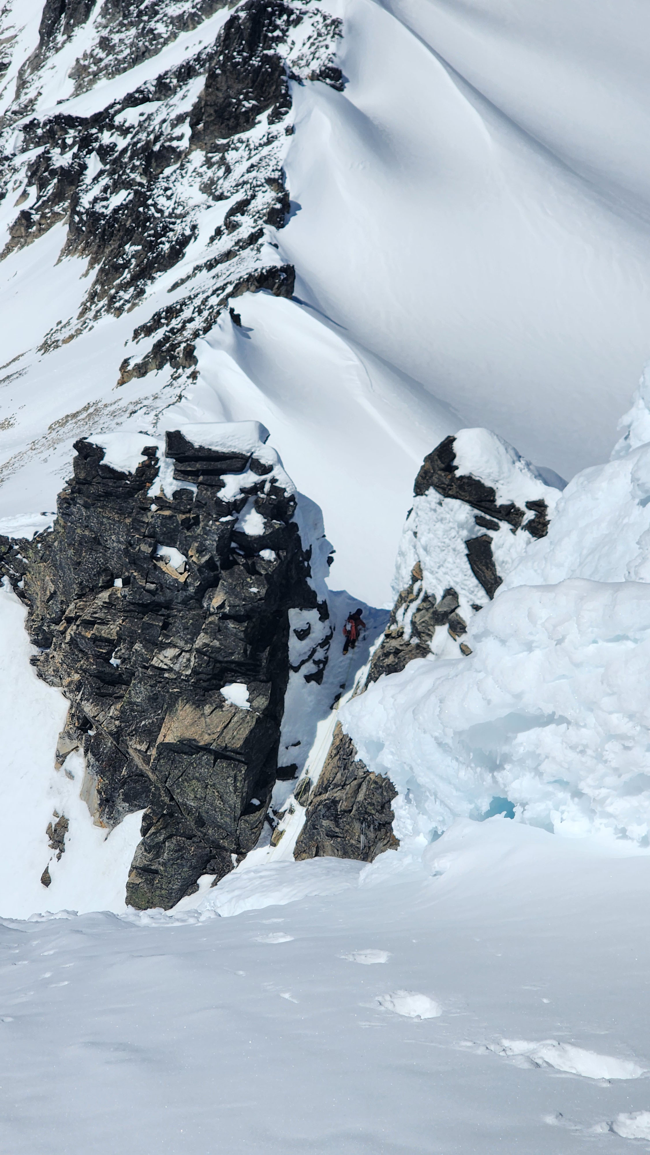
The group ahead was climbing up a steep gully to the left of the ridge starting at ~8100', so I pulled out my second axe and quickly followed them up. I met them on a small saddle, which was super crammed as they had 4 members all tied into pickets. Unfortunetly, on the other side was just a steeper and smaller gully back down. The group was working on rappeling the steeper gully, but to me it looked too hard to climb the summit block from down where they were rapping to. I dinked around looking for a better way while climbing around the other climbers. There was a spire to the left, which I tried to climb up, but it was super steep and icy. I figured the route wouldn't go, so I didn't risk it.
The gully up to the saddle (taken by my partner)
I went back to the member setting pickets on the saddle and sat for a bit considering my options. They offered me to use their rope to get down, but I had no harness. I figured I could use it as a handline, but using others gear like that goes against my typical rules for summiting. I gave them my second axe with an adze so they could dig better to deadman the picket.
Before trying to free downclimb the gully, I figured I needed to fully rule out the spire. I climbed around the others again, and headed up. To my suprise, there was a knife ridge connecting to the summit block.
Me on the top of the spire above the group
The exposure was lethal on all sides, but I figured I could do it. I slowly traverse the knife ridge, which was half rock and half snow/ice. Eventually I had to get on the north side of the ridge and downclimb the snow to the notch between the ridge and the summit block. Overall, it wasn't as bad as it looked.
The spire I traversed to the right; my crampon marks visible. Photo from the other groups TR (link)
After getting off the knife ridge, it wasn't much more snow and ice climbing to summit. I climbed up, then traversed right, before climbing straight up again to summit.
The last bit of snow climbing to summit. Photo from the other groups TR (link)
Watching the other group on their convoluted route from near the summit; the final bit of steep snow to summit just below, my bootpack evident
It was nice to beat the group and have the untouched summit to myself. I knew I needed to take a decent break from the exposure, so I snapped some good photos and drew a couple goofy faces in the snow.
I also talked some more over radio with my partner, and I told them they probably shouldn't come up past the gully; not only because I was so far ahead (they were just starting up the ridge at the point), but also because they only had a whippit as their second axe, and their main wasn't amazing in the first place (the Petzl Summit, which I also had one of, but I was using it as my second).
The highest point on the summit
Looking SW from the summit; Eldorado & Dorado Needle to the far left
Looking out over the Neve towards Baker
Pack on summit
After a decently long stay on the summit, I climbed back down to the notch next to the knife ridge. Two of the members from the group were there working on helping their other members up; their route looked a lot more difficult than mine.
Me talking with the two on the saddle, and my route up in pink (photo shot by my partner from the false route up the west ridge)
I had seen some really old crampon marks going straight down the north face from the notch, so I figured I'd try to climb down that way to avoid going back over the knife ridge. I headed straight down to around 8040' where I started traversing back to my skis. This route worked great, but it was a lot more tiring than the knife ridge since it was all front pointing due to how icy it was.
My route down the north face in pink
I got onto flat terrain below the gully, then quickly found my skis. For the climb, I just used lightweight aluminium pons (Harfang Tour), along with a BI Akila (as primary) and a Petzl Summit (as secondary). I didn't feel like there was need for anything serious, especially not ropes, but two decent axes (semi technical) was a must.
Me walking back to my skis
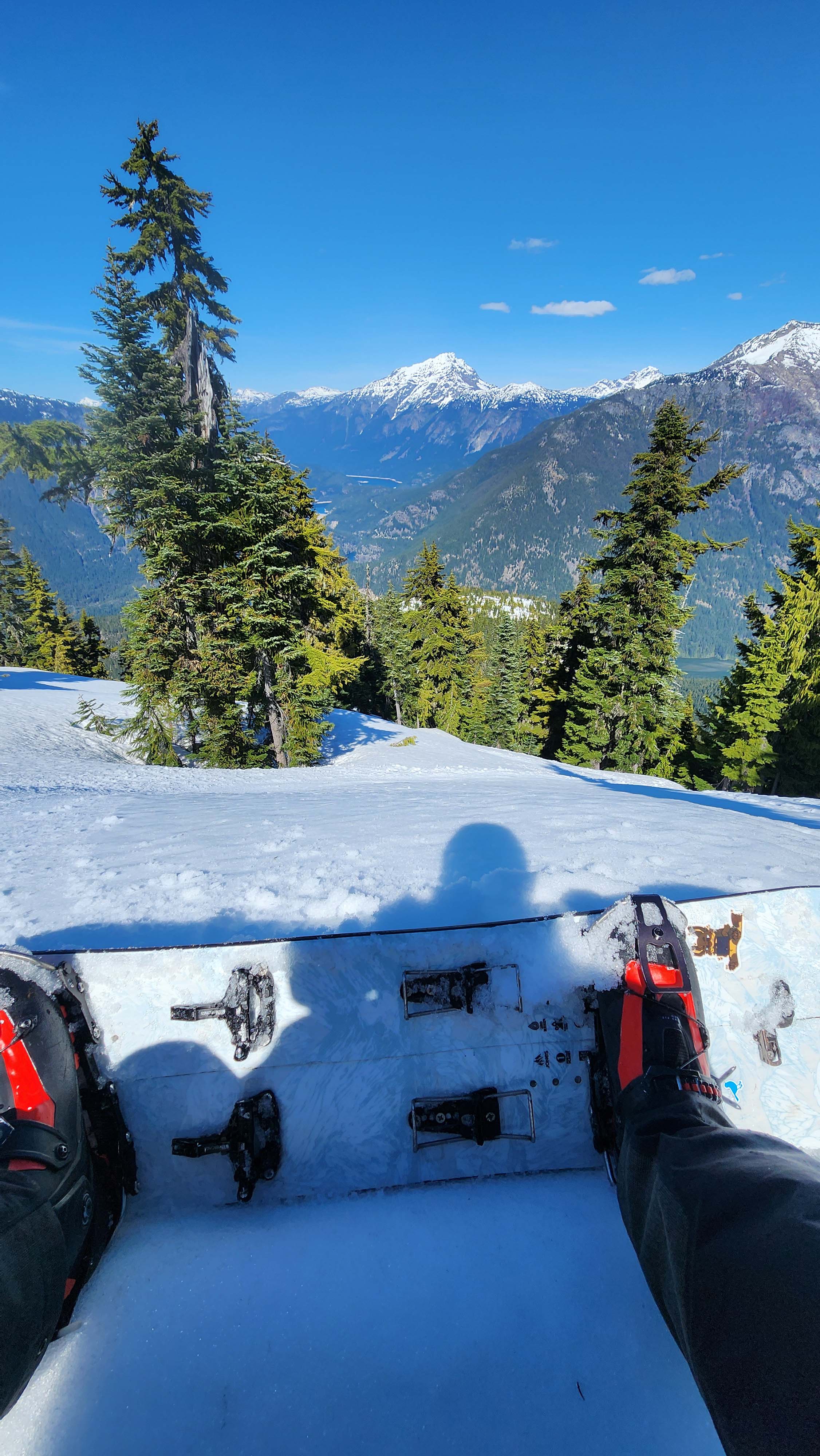
I put my splitboard together and boarded down the open SW slope a ways then cut right over the west ridge. I thought I had cut onto the same part of the west ridge, but it turned out I was quite a ways below my partner.
We eventually spotted each other and I headed down the Neve first.
My partner skied down to catch up to me, but they were still having problems with their bindings. We both looked at the bindings in an attempt to figure out the issue, and we realized the heal bit was moving too much. It was moving with very little pressure, so we realized the gap was too large. I pulled out my repair kit and we lowered both the gaps. We also made the dins stiffer as well. These two fixes seemed to resolve the issue entirely. So, we headed down the rest of the Neve Glacier.
Back at the base of the Neve Glacier
We were originally thinking to do the trip as 3 days, in which case we wanted to hit Colonial Peak by skinning up from the Colonial-Neve col. However, we realized we could easily just make it out same day as it was only 13, so we planned to head out.
So, we quickly switched to A-frame and pons to get back up the 300' vert back to the saddle we skied down from.
Back on the saddle
We then transitioned and skied down the Colonial Glacier and across the lake back to camp. Despite all the speed I built up, it wasn't even close to being enough to get across the lake. The lake is massive nowadays due to the melting of the Colonial Glacier; it now runs to where 6030' used to be on the topos. The lake sits at 5875', so the glacier has melted down 155' vertical at the farthest point along the lake. That's a lot of ice melt.
Me about to snowboard down the Colonial Glacier
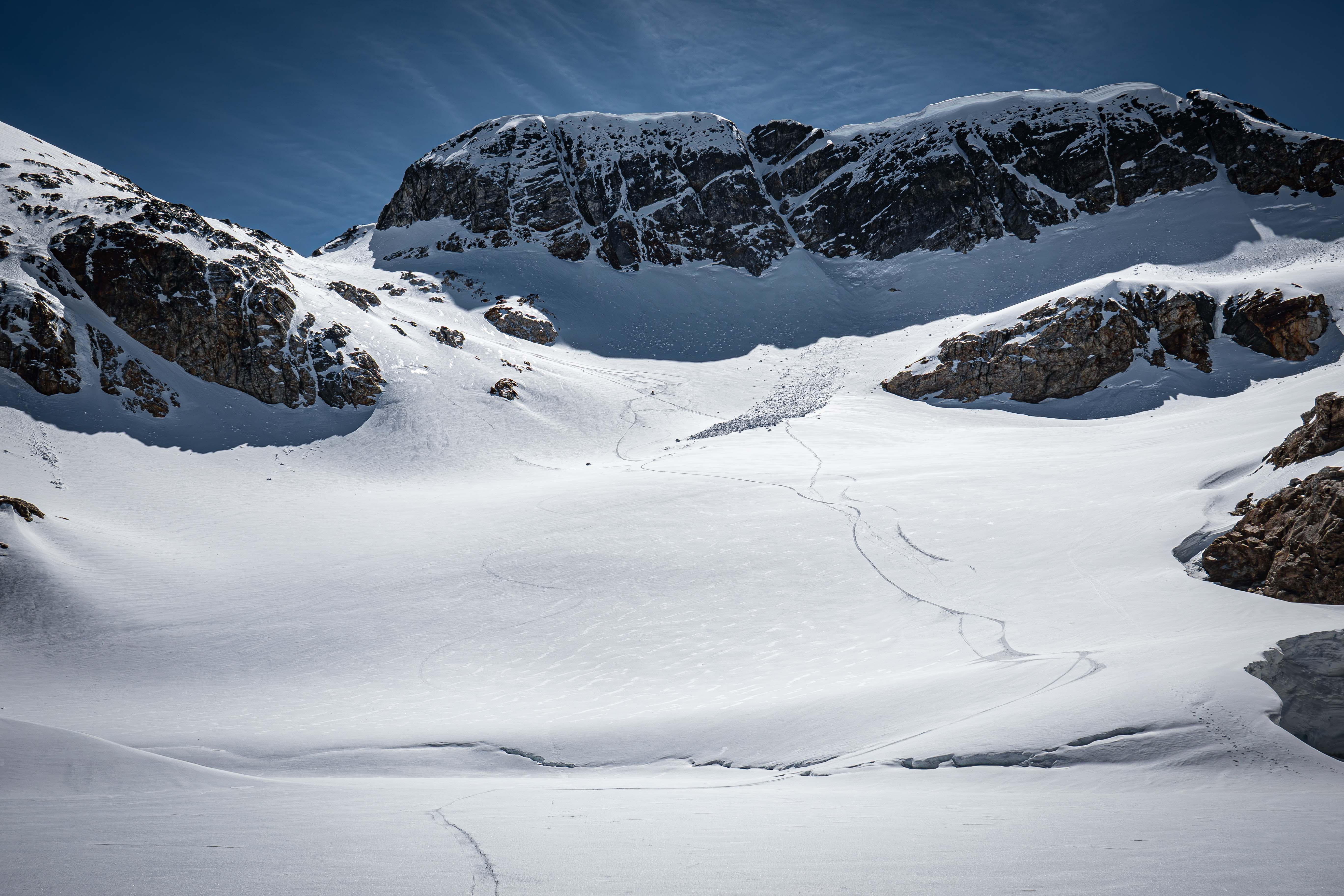
Many ski lines down the Colonial Glacier — my partner still skiing down
Crossing the lake
We packed up camp and skied down to 5770' before the start of the steep traverse. We opted to not ski down farther, so we just bootpacked across the traverse. Once across, I walked up to a little peak from the saddle to get a non-traversy line down; well worth the extra 50' vert.
My partner headed across the traverse; me taking the photo from the little peak I walked up to
We then skied roughly down our up route to 5000'.
Boarding down to 5000'
At 5000', we decided to follow a gully on the N slope instead of our up route. It was nice and open all the way down to 4640', where we cut right to connect back to our up route. This way down was amazing and allowed us to ski all the way down to 4500' right next to our up route.
After popping off, we switched to A-frame and bootpacked out on the fresh pack set by the other group. We made it back to the TH just after 19, in about 4 hours after packing up camp.