Table of Contents:
Intro
Day 1 (Approach)
--Redoubt Glacier
Day 2 (Hard Mox)
--Hard Mox West Ridge Climb
--On the Summit of Hard Mox
--Descending Hard Mox
--Day 2 Finale
Day 3 (Redoubt)
--Redoubt Ascent
--Descending Redoubt
--Post-Redoubt
Day 4 (Easy Mox)
--On the Summit of Easy Mox
--Descending Easy Mox
--Bivouac Search and Rescue
--Deapproach
Epilogue (Gear Info)
(click text to jump to section)
Intro
The Mox Twin Spires are considered to be some of the hardest peaks to climb in Washington State. The SE Twin Spire, commonly referred to as "Hard Mox," is typically regarded as the 7th hardest in WA, putting it in the
WA Difficult 10 list. The other spire, the NW Twin Spire, often referred to as "Easy Mox," is not much less difficult than Hard Mox, despite being labeled as "easy." Easy Mox does not make the WA Difficult 10 list, however it's likely it would be in the top 20 or 30.
I've been working on completing the Bulger List (typical WA Top100 list), and I knew I had to climb Hard Mox at some point. As well, depite Easy Mox being a subpeak of Hard Mox, it's still more than prominant enough to make the Bulger List. Hence, I had to climb both the spires. Hard Mox is considered to be the hardest peak on the list, with Goode or Easy Mox likely in second.
I had originally planned to climb the Moxes in 2027, on my intended Bulger List completion year. However, due to the massive storm in December of 2025, many of the roads to other Bulgers got destroyed. This most importantly closed the road to Holden, which is crucial for climbing Bonanza, Martin, and Copper; tagging those 3 peaks was high on my proirity for July of 2026. We thought we could just take the boat to the port, and bike up the road. However, we learned the road was close to all forms of travel, and the boat wouldn't even drop you off there anymore. It got even worse when we found out even the road to the alternative approach from the Entiat was also washed out. This made getting to the area almost completely impractical.
This created quite the dilemma in my plans of completing the Bulger List in 2027. I knew if I wanted to stay on track, I needed to switch plans for the Moxes to July 2026 instead, and hope Holden recovered by July 2027.
After slamming out the 5 Dorado area Bulgers across 4 days in early July, I shifted focus to the Moxes. I knew I needed a solid weather window for such formidable peaks, which came around mid July. With my group, we planned the trip over a weekend from Fri-Mon, with Tuesday as an extra day. We planned to also hit Redoubt & Custer to finish out all the Bulgers in the area. We actually had a 3rd member for this trip, which was nice to split up the weight of all the climbing equipment.
Day 1
We drove the road past Chilliwack Lake towards the trailhead. When I did Spickard and Rahm in 2025, I had parked about 1.3 miles and 150' vert from the trailhead due to a large ditch, which I wasn't sure if my car could get through. Though I definetly could've driven all the way to the trailhead. However, this year, we had a different car to carry bikes for the approach. This car wasn't even able to get over the first small ditch, which forced us to park 2.5 miles and 500' vert from the trailhead. This was an annoying setback.
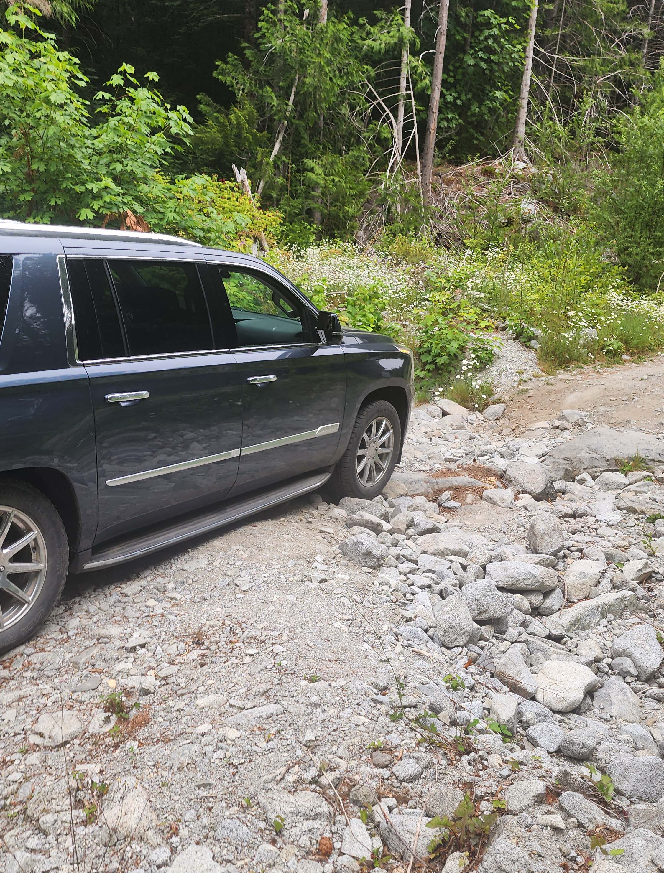
Just this little ditch stopped us
However, after biking up to where I had parked in 2025, we realized the two ditches had gotten about 10x as deep — they were now completely impassable. Since we couldn't had made it to the trailhead anyways, we found it was still worth bringing the bikes over a better car. We did see a group of cars parked higher up, who told us they were headed to Spickard. We also saw a single car just before the impassable ditch (we ran into them later).
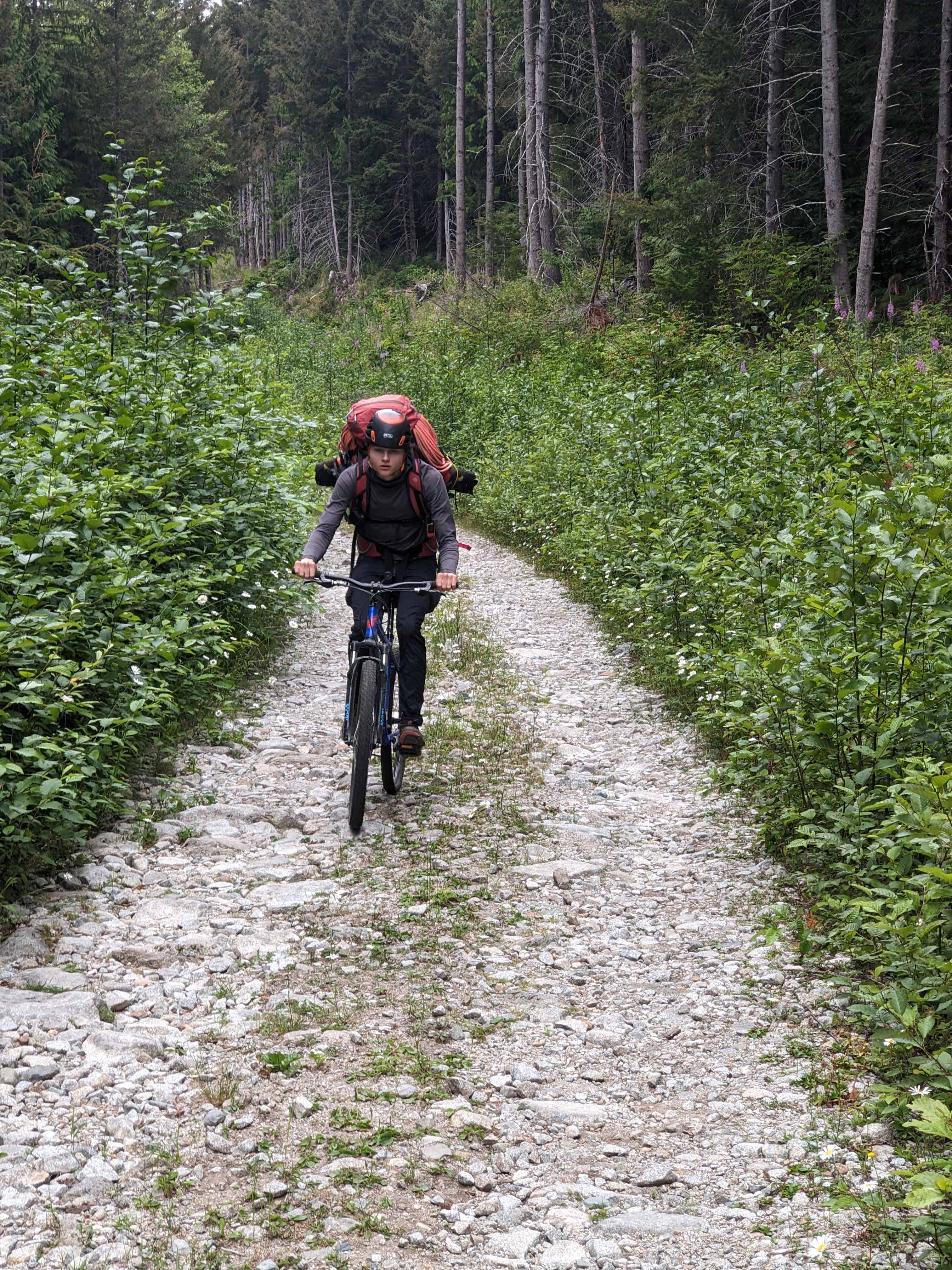
What a joy
It didn't take awfully long to get to the trailhead. We cached the bikes and started on the trail. We had heard reports of trail maintenance since when I went in 2025, and it really showed. The trail was much better cut out, and generally way easier to follow. I didn't have a problem with the old trail, but this made the approach a lot more straight forward.
Come the devils club section, it was completely cut out; a vast contrast to 2025 when we had to bushwack through the clubs and across the stream. The devils club section led into the classic waterfall crux. I followed my same route from 2025 to avoid using the ropes as aid; I climbed around the left of the first wall, which was just as easy as before. I then went right up a nose in the rock for better friction (since all the rocks are pure slime). This led me out of the spash zone and onto drier rock. This whole section only took about a minute for me.
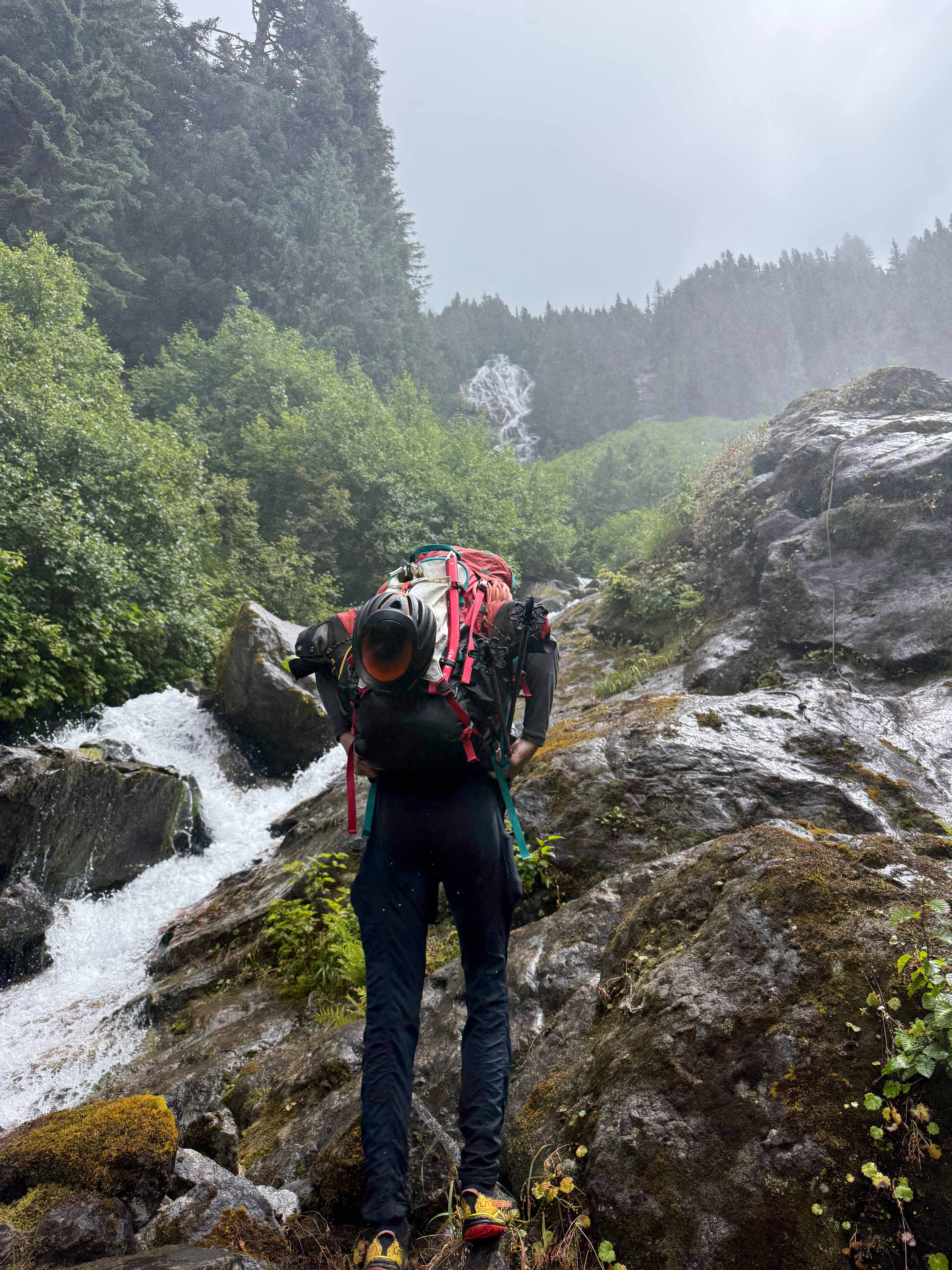
Preparing to speed run up the waterfall to stay dry
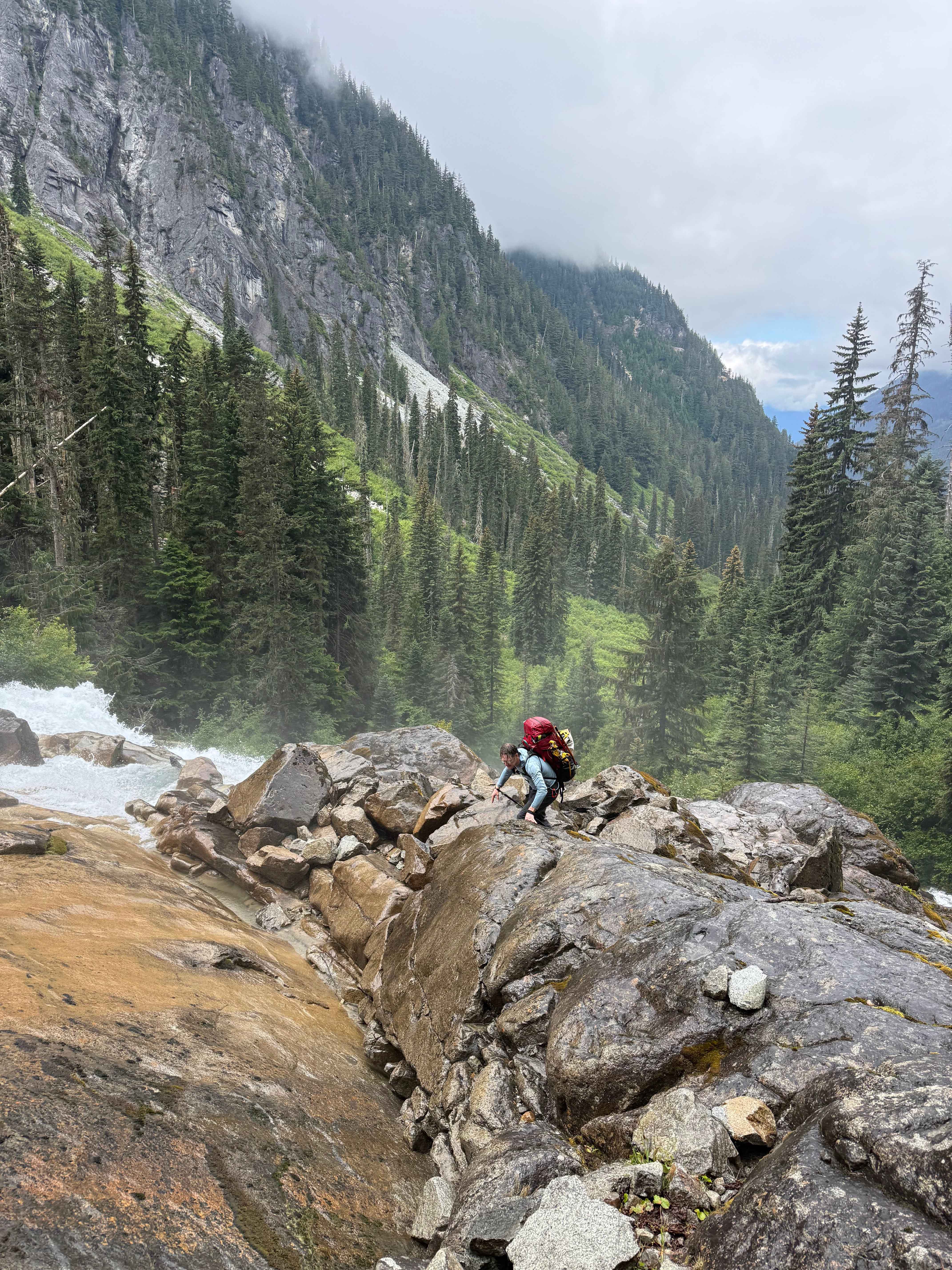
My group taking 10x my time in the splash zone and getting drenched
I was thinking I should cut out the upper useless ropes on the way down to clean up trash, but I figured they might be useful in rain. These ropes seem like nothing more than trash though. The only useful rope is the lower one on the wall, which I always use to hold onto to "rap" the wall; saves time over actually rapping. If I feel motivated in the future, I might cut some out and haul them to a trash bin.
The trail up to the upper valley was better than ever. We made it there quickly and started the flat section through the valley. I pulled out my camera to take my first photo of the trip, when I realized I had forgotten my sim card. This was super unfortunate; no camera in the most beautiful spot in Washington really sucks. Though I had a lot of photos of the area from 2025, so it wasn't the end of the world. However, this means all the photos in this trip report are going to be trash.
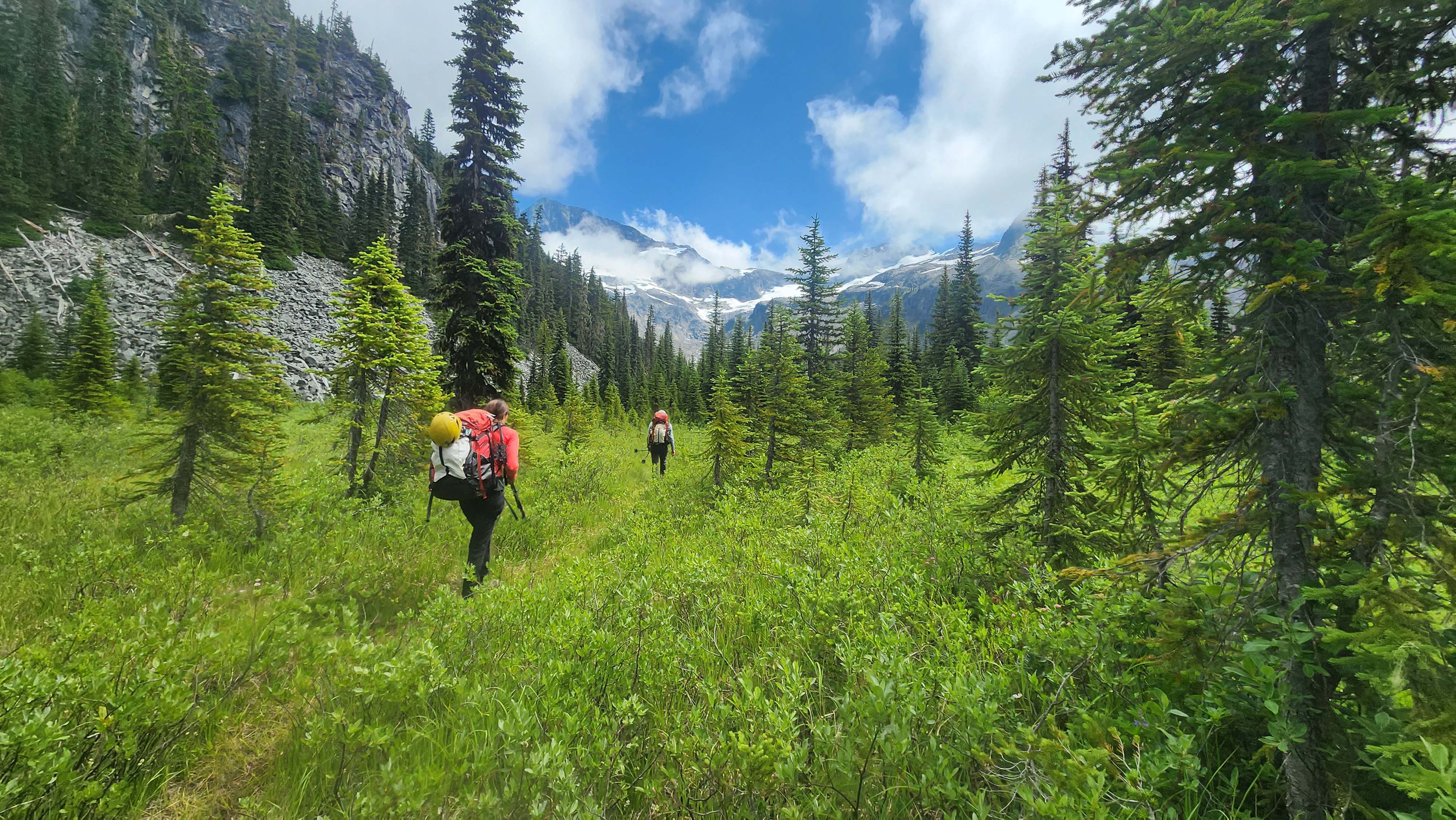
No camera means all my shots must be from my old phone — they wont be great
We got some decent views of Redoubt as we walked the valley. We made it to Lake Ouzel while following the way easier to follow trail (than 2025). We cashed our trail runners there since we didn't know exactly how we'd be coming down. I also ditched my useless camera in my shoe.
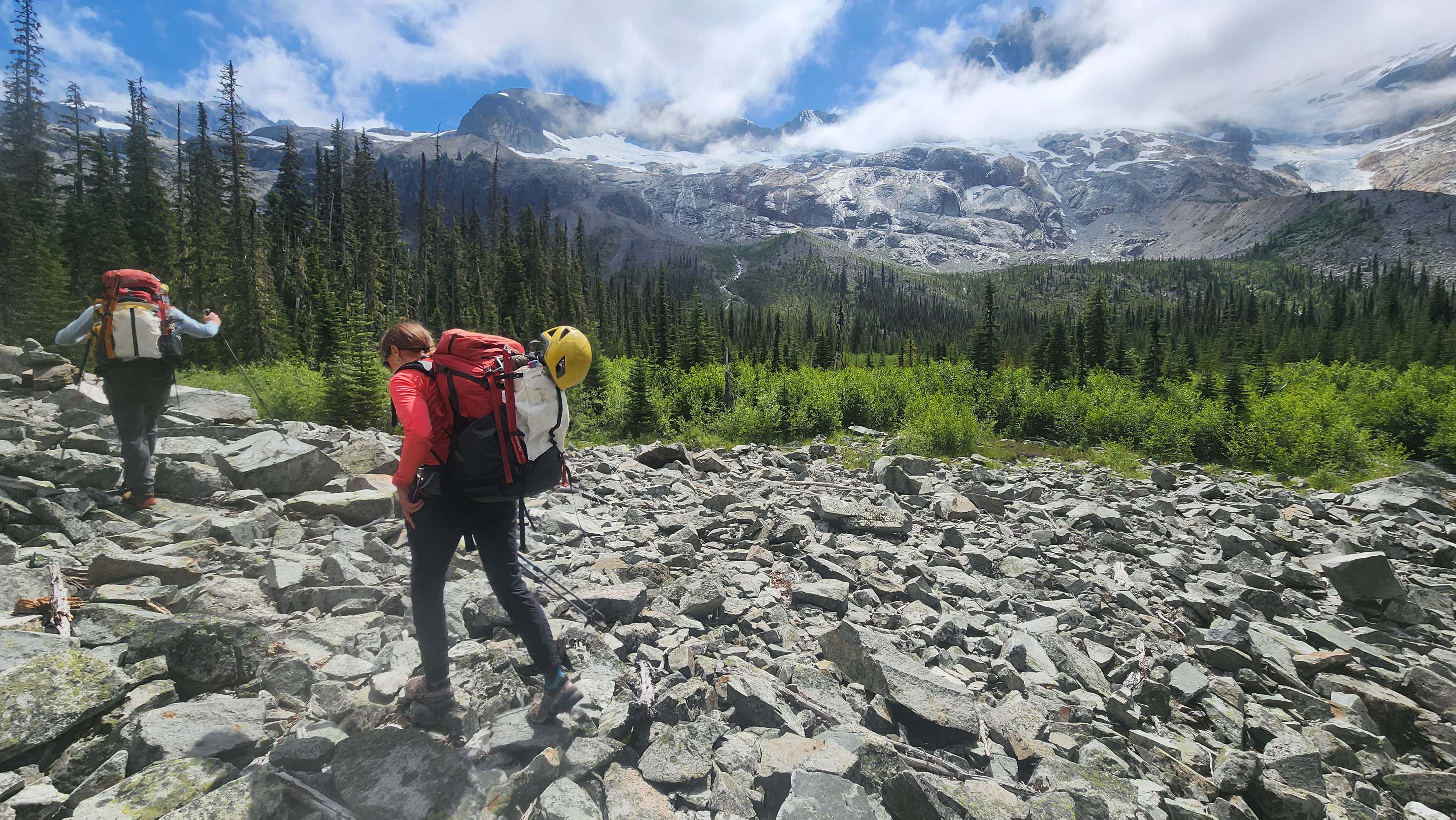
Redoubt looms above us
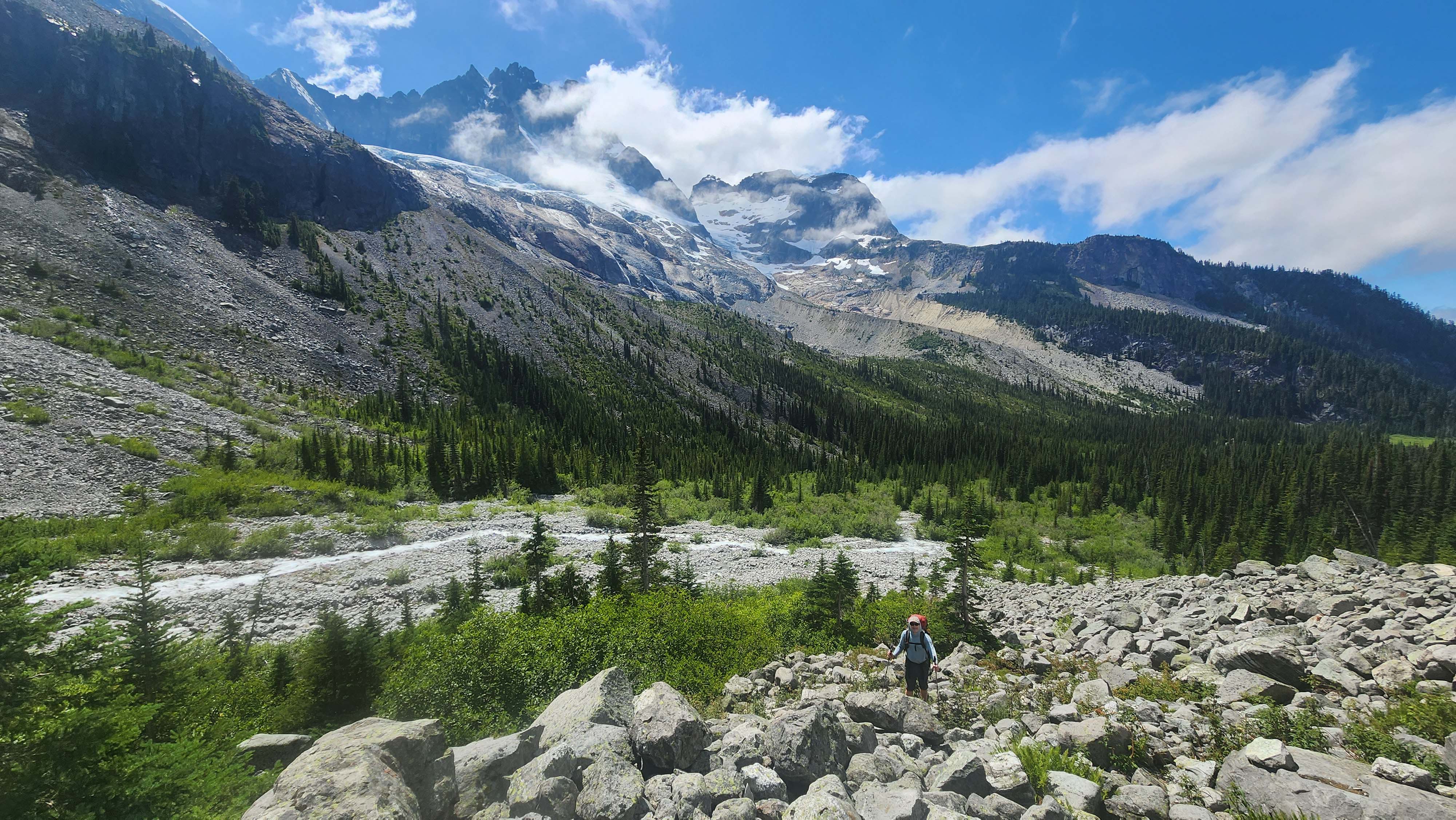
Redoubt summit now out of the clouds
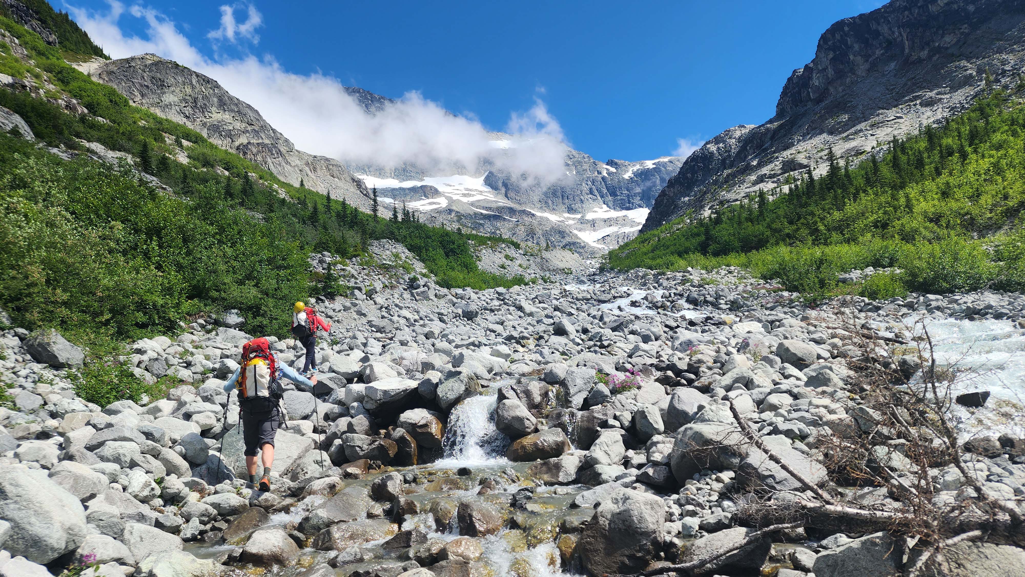
Walking up the stream bed of Depot Creek
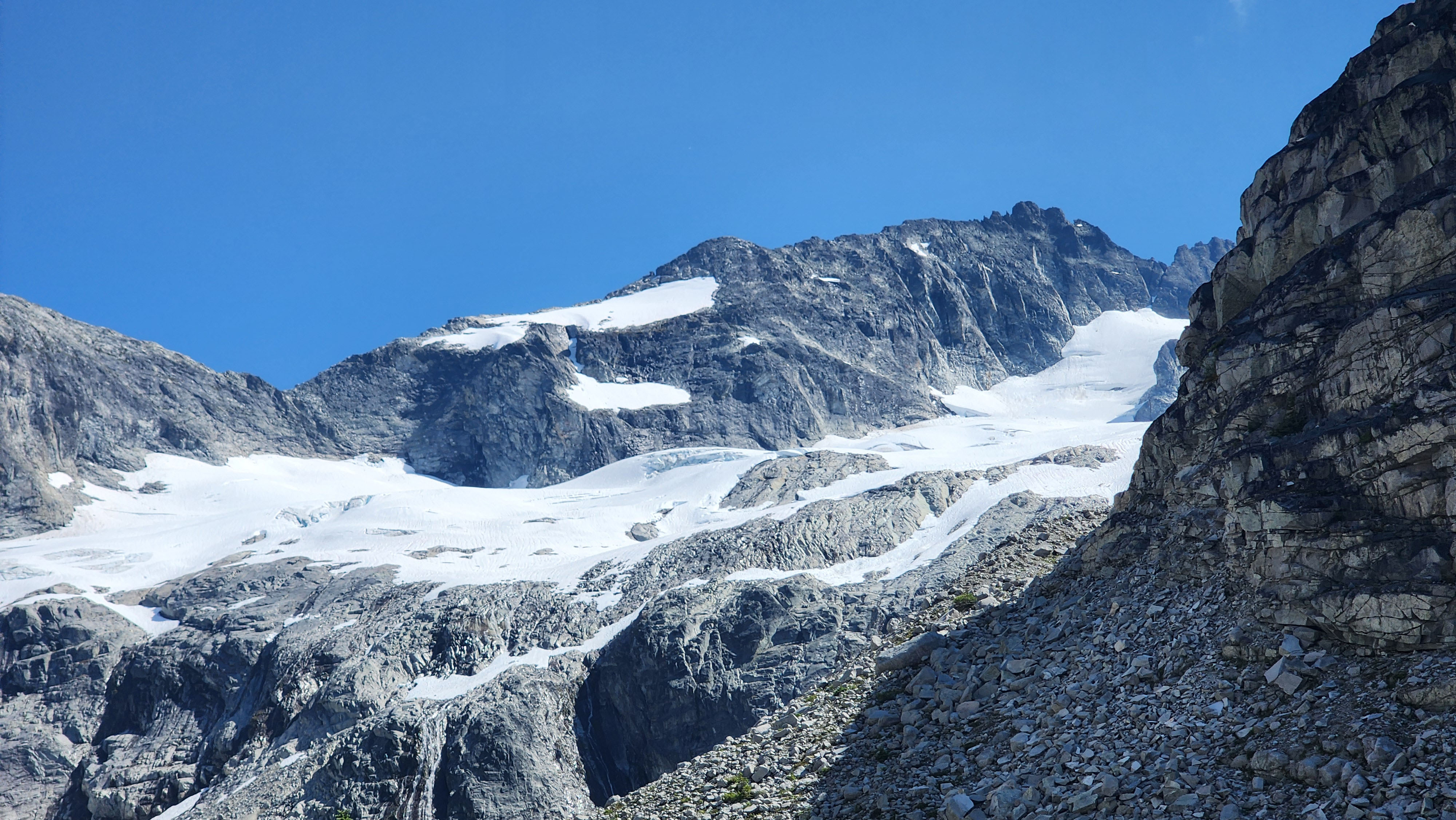
Our first sighting of Easy Mox
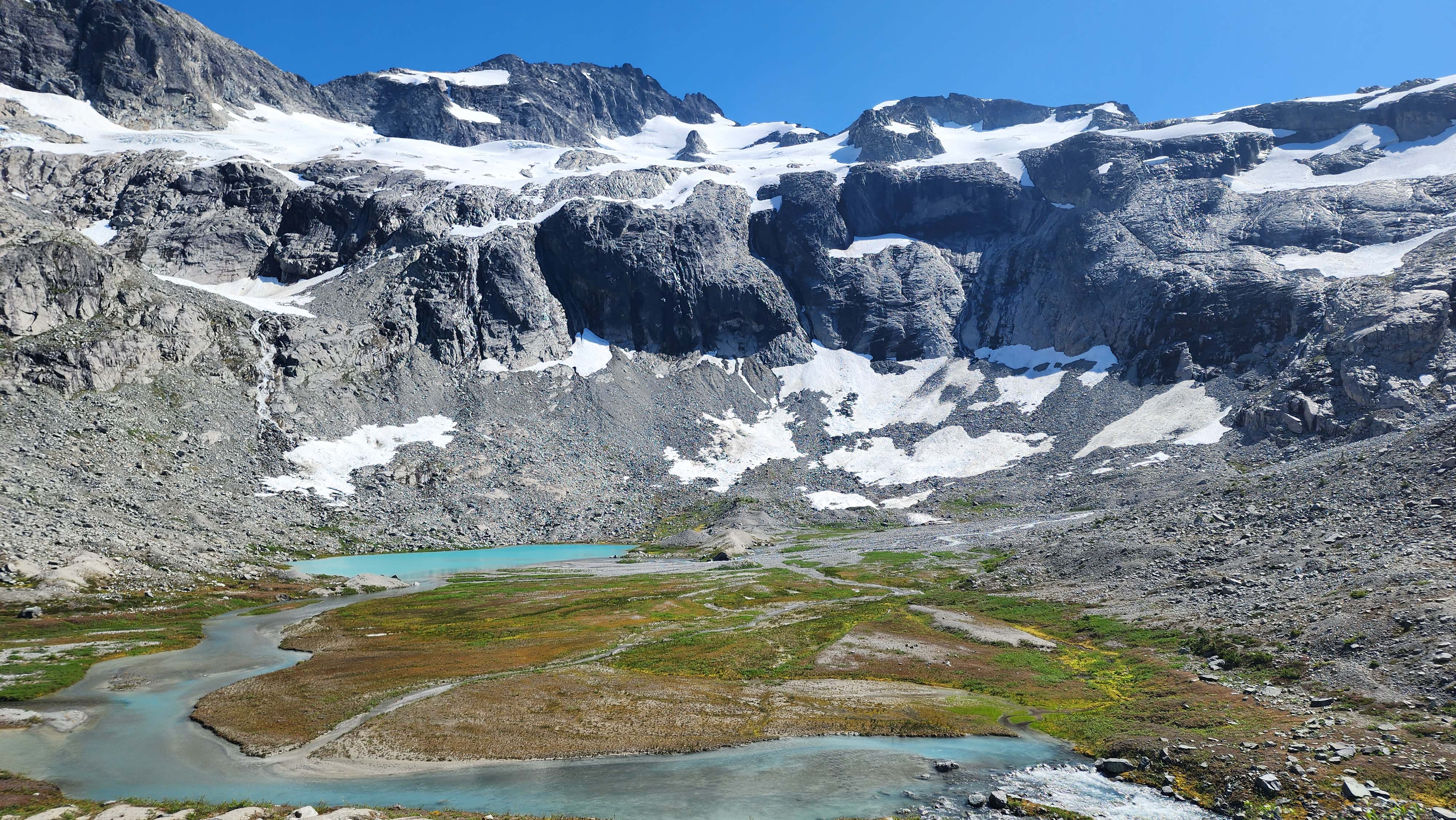
The classic view of Lake Ouzel with Easy Mox above and Depot Creek flowing out
We forded across Depot Creek and put on our boots on the other side. We then followed the typical route up to the Redoubt Glacier around the west side of the lake, which went smoothly.
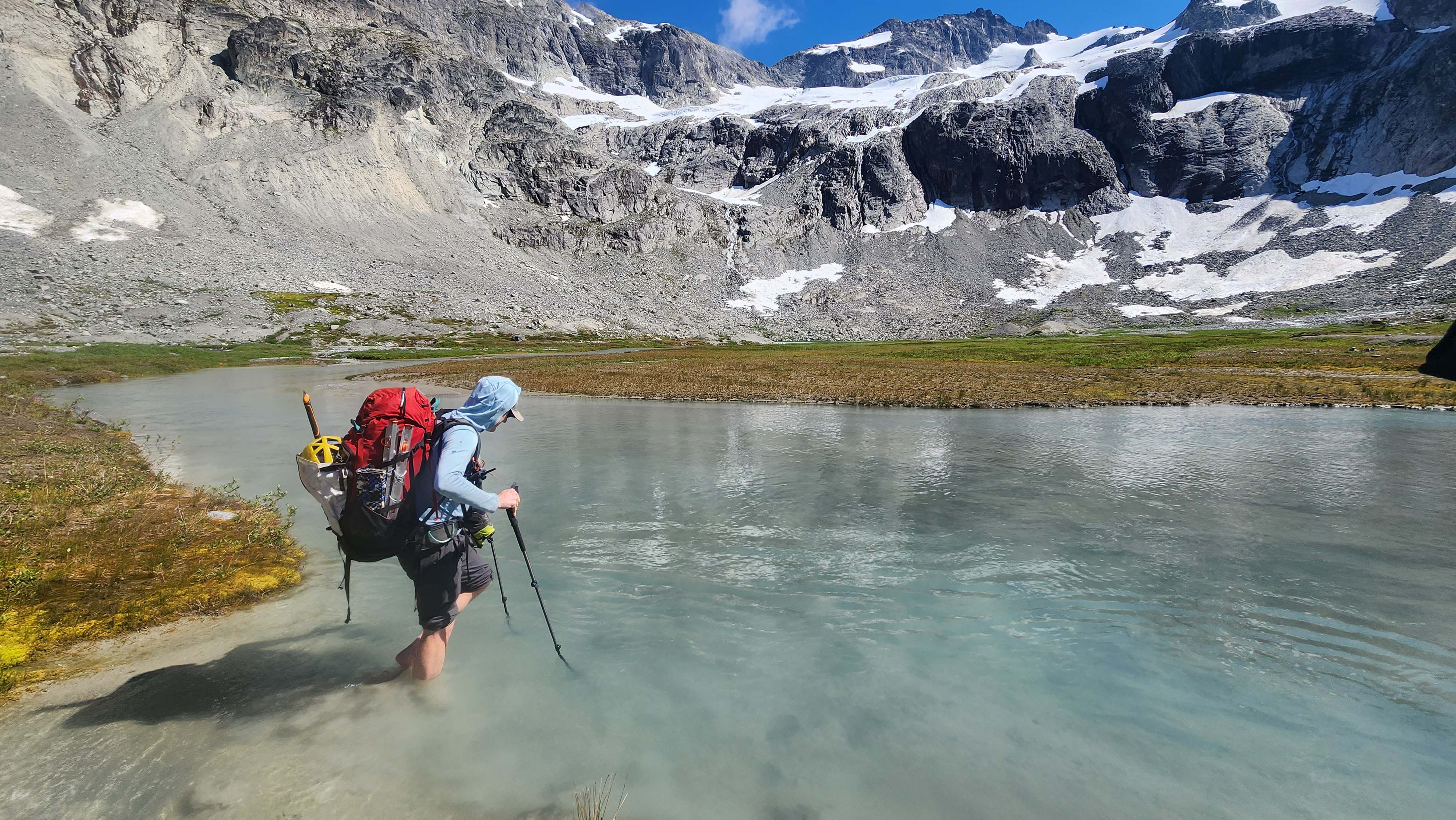
Starting to ford
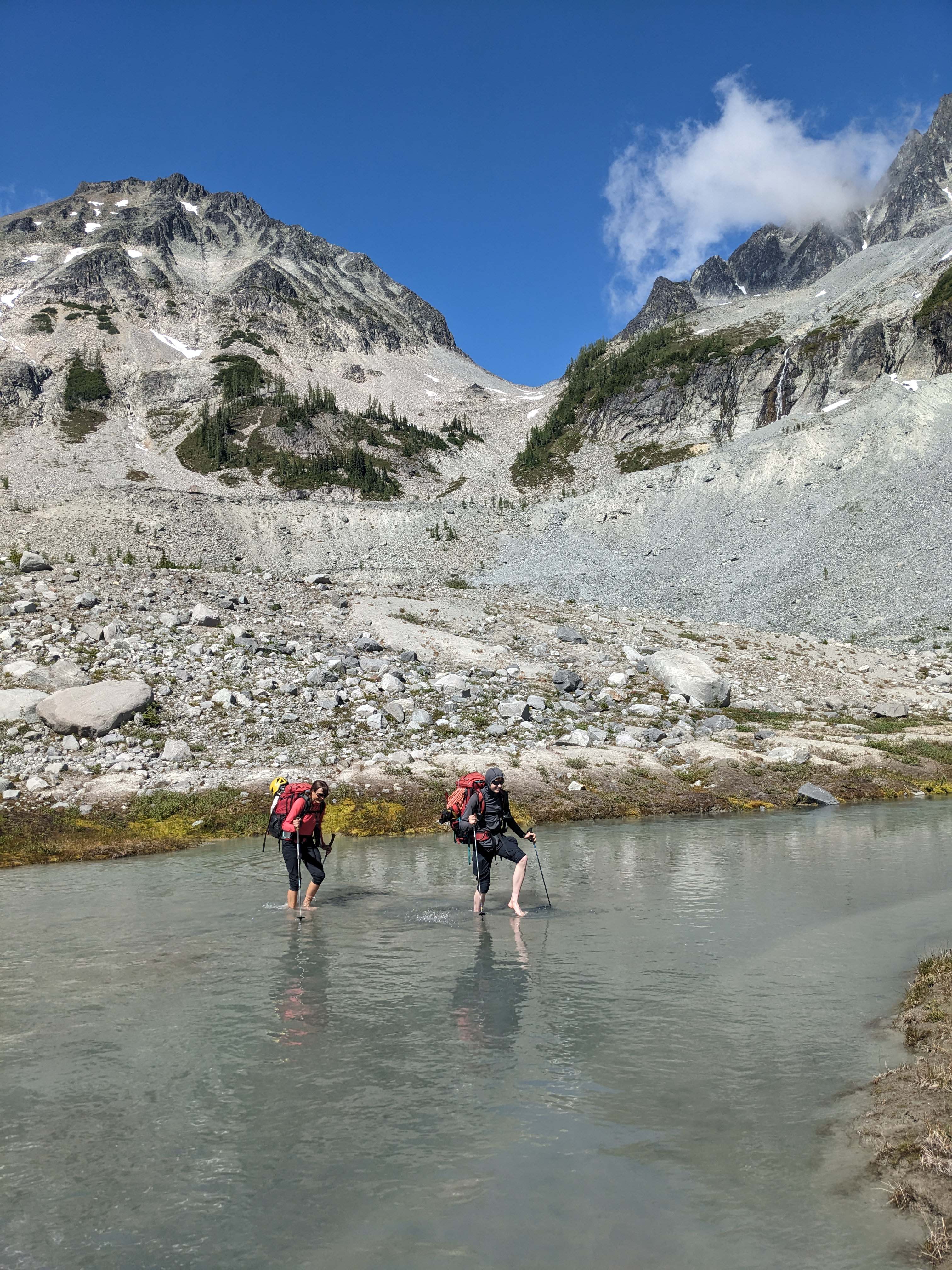
The water was beyond freezing
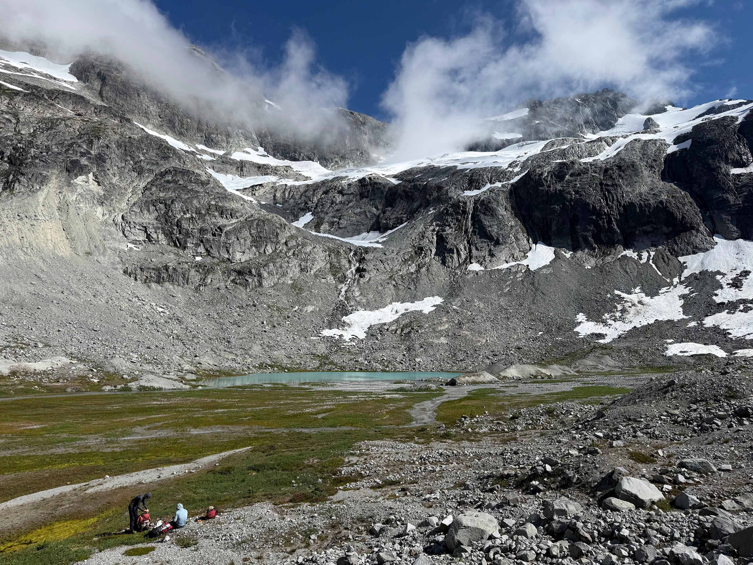
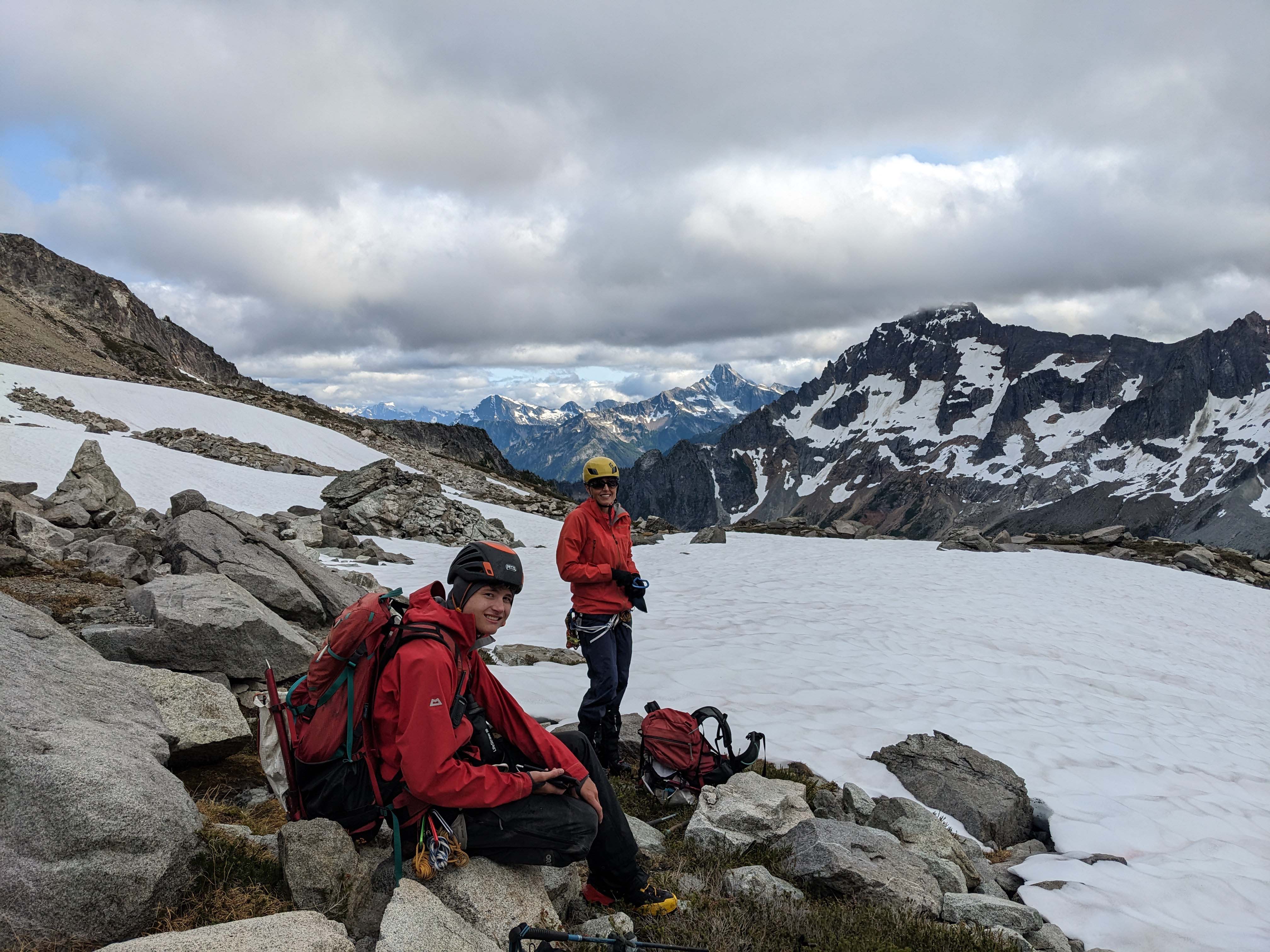
Taking a break to put on our boots
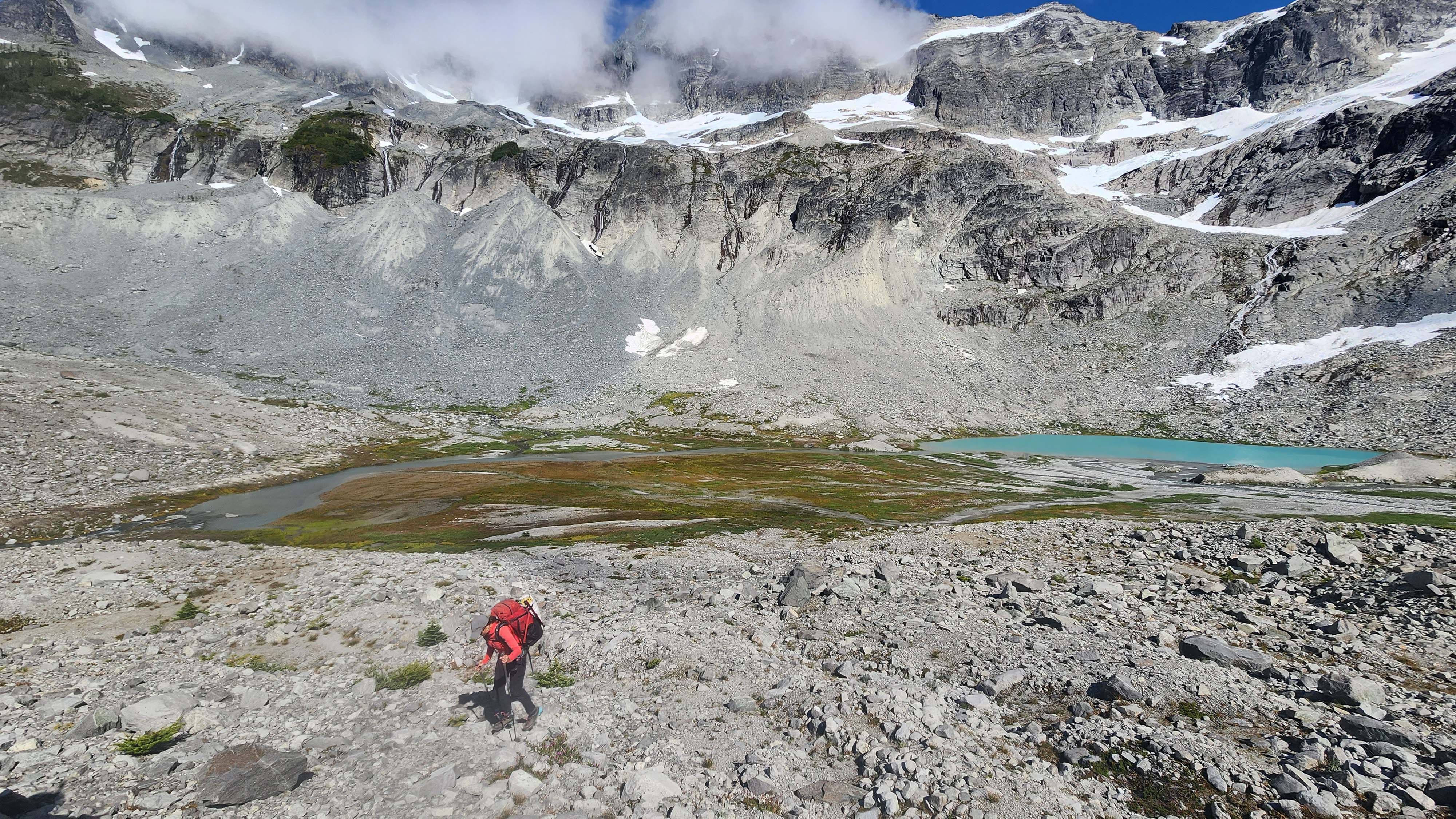
Headed west on route to the Redoubt Glacier
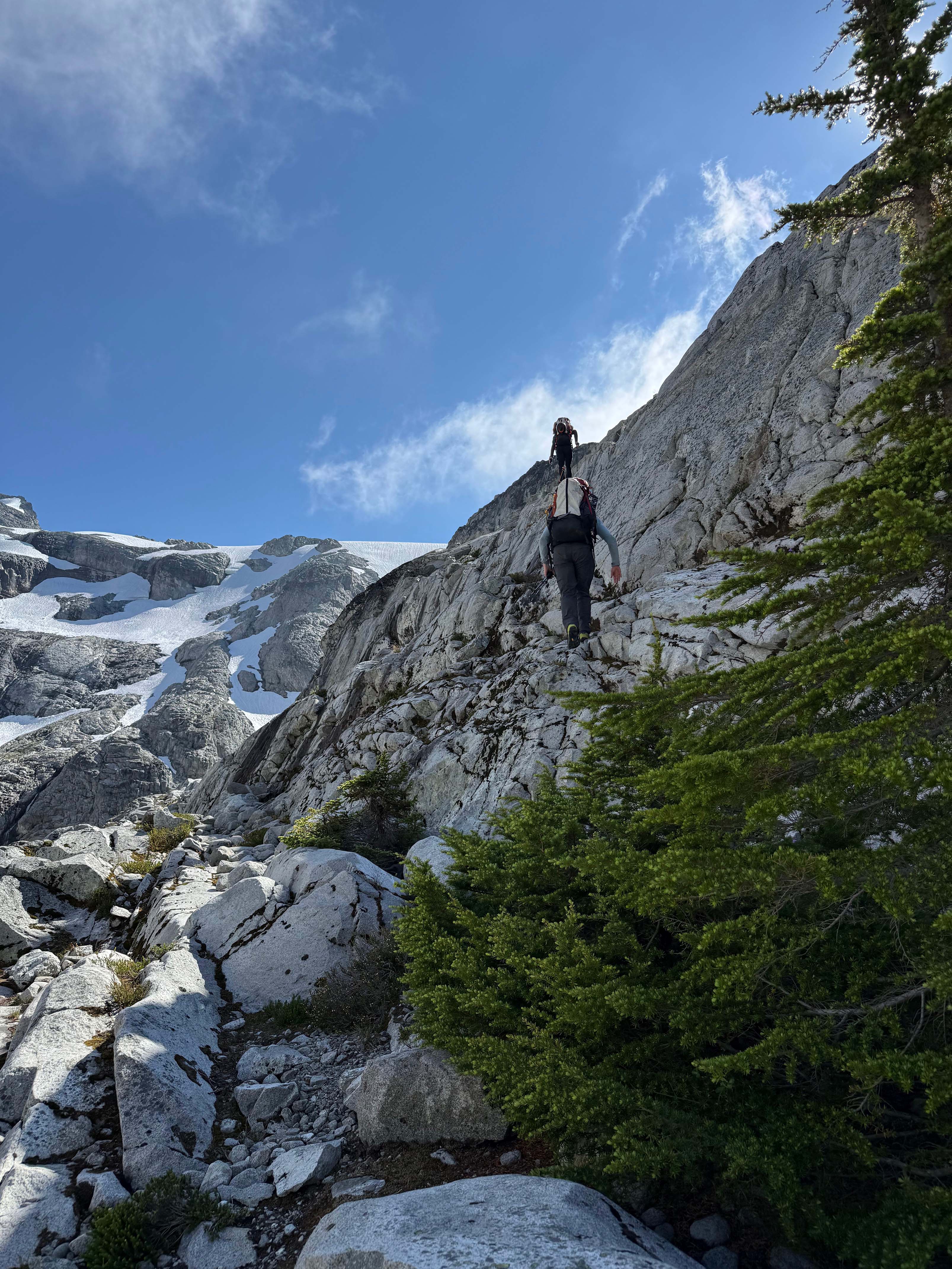
Scrambling the easy rocks to the old Glacier runout
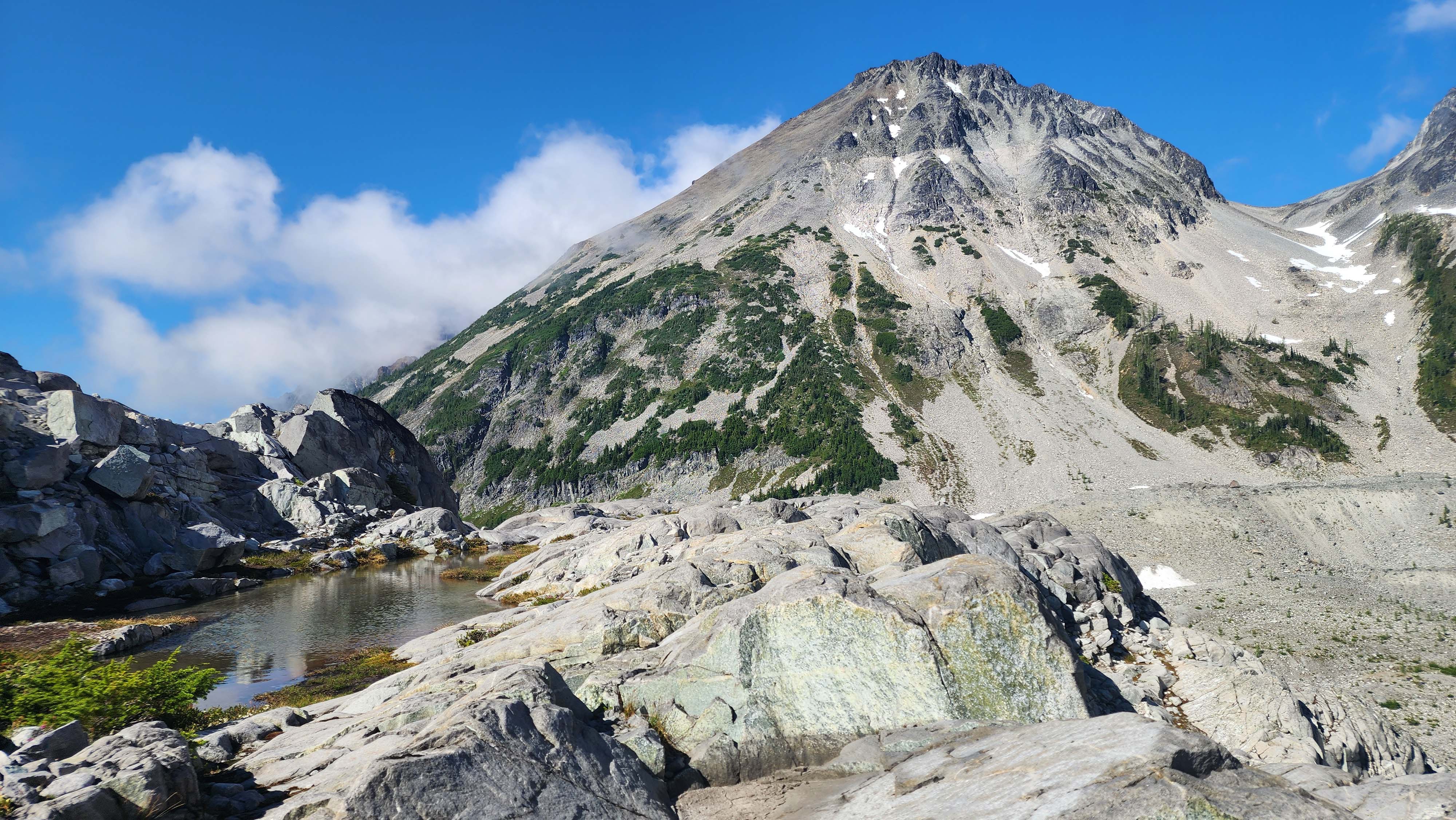
A cool tarn where the glacier used to be not long ago
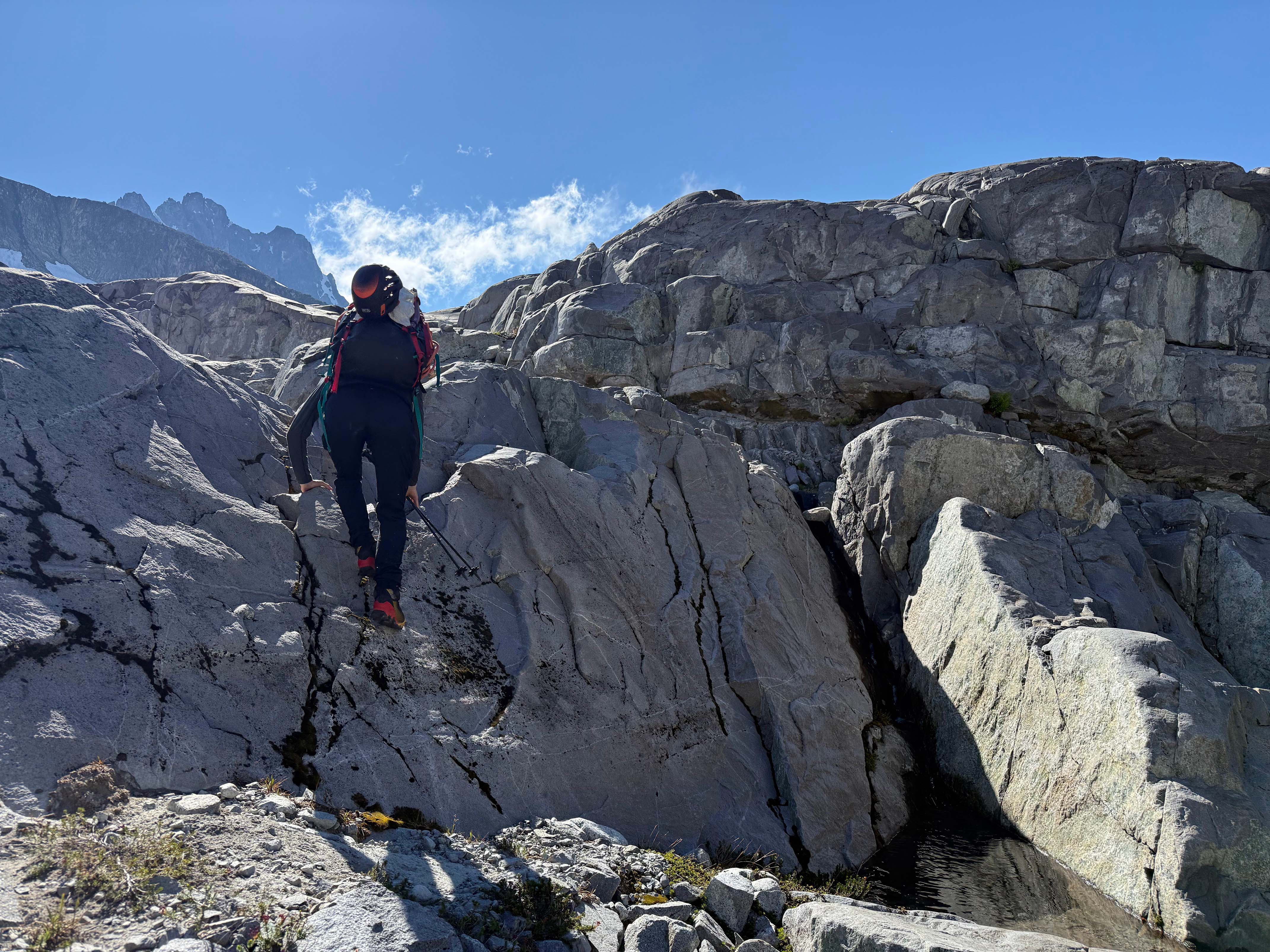
Surprisingly solid rock
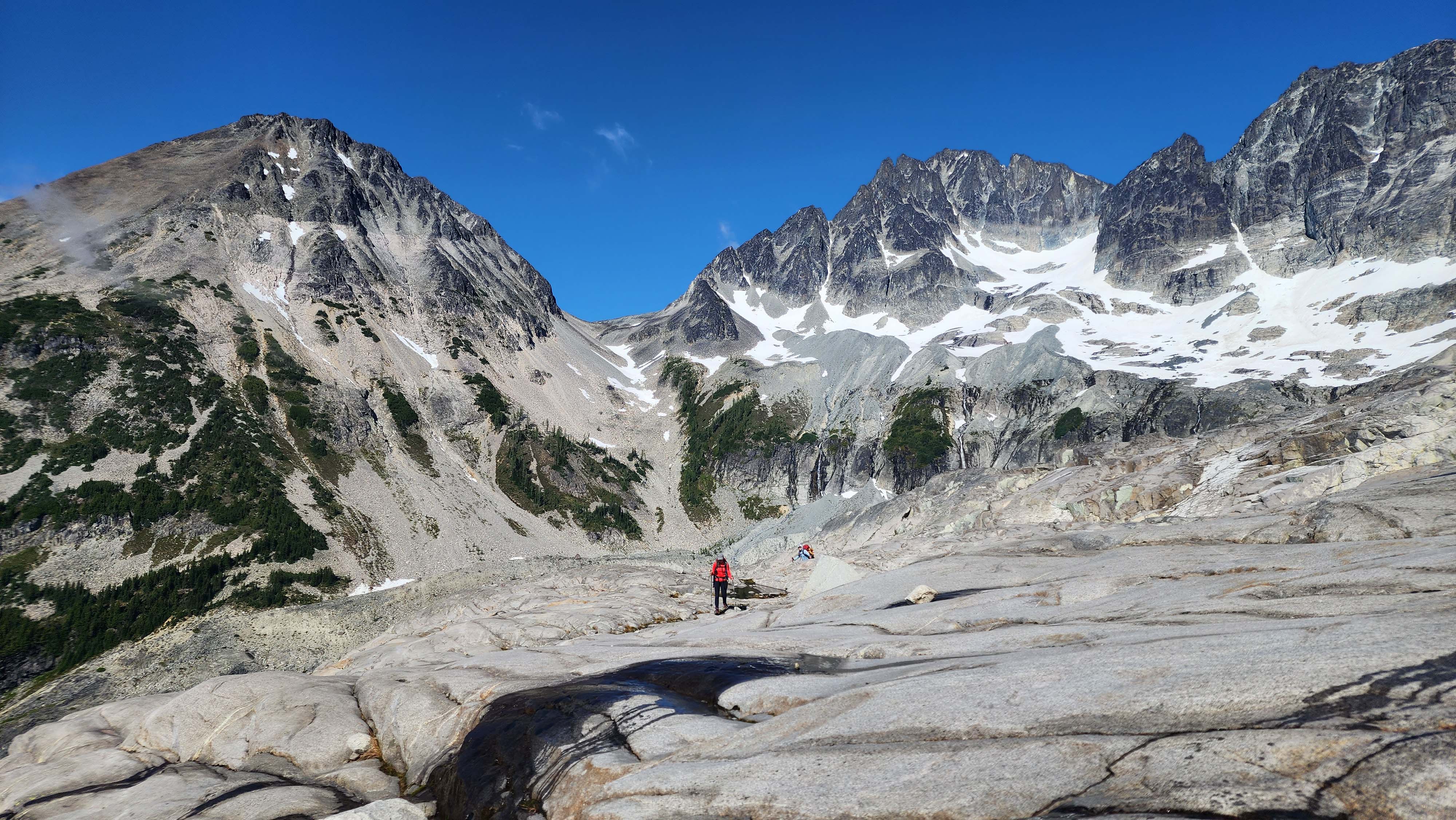
Custer and Spickard behind

Cool large granite slabs
Redoubt Glacier
We hit the Redoubt Glacier and opted to rope up immediately since we were unsure of conditions. There was a bootpack already, which suprised us. It only seemed like just a single group had set it though. On route, we saw a few cracks starting to come out, but nothing too scary.
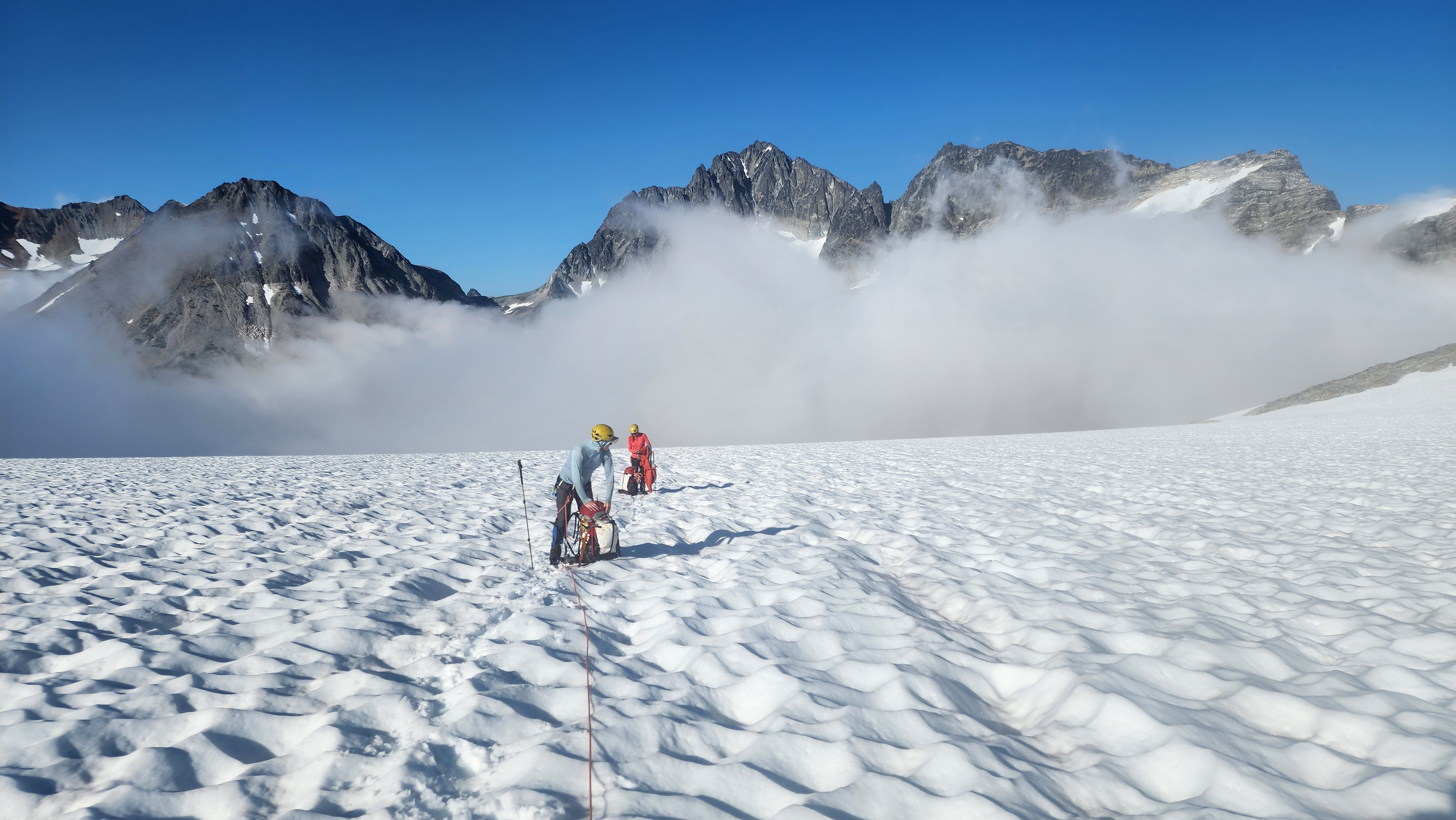
On the Redoubt Glacier
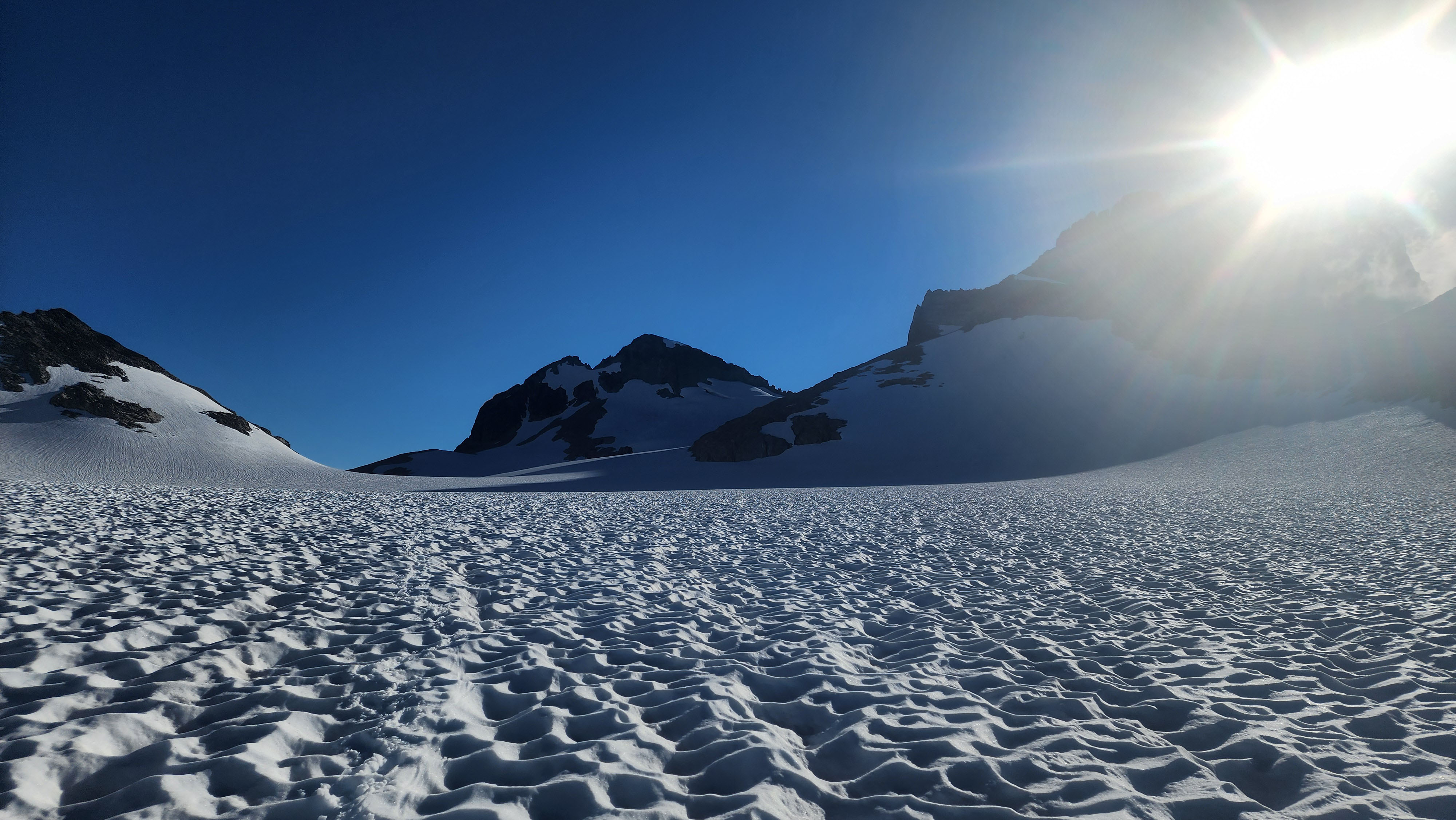
Looking up at the saddle
We made it to the saddle on the glacier, our intended camping spot, and we saw flowing water just a bit above. There were also no signs of any crevasses, which seemed right for a large, flat saddle. We dug out some camping spots while a group member went and got water from above. We had our dinner and headed to bed around 21, a decent time.
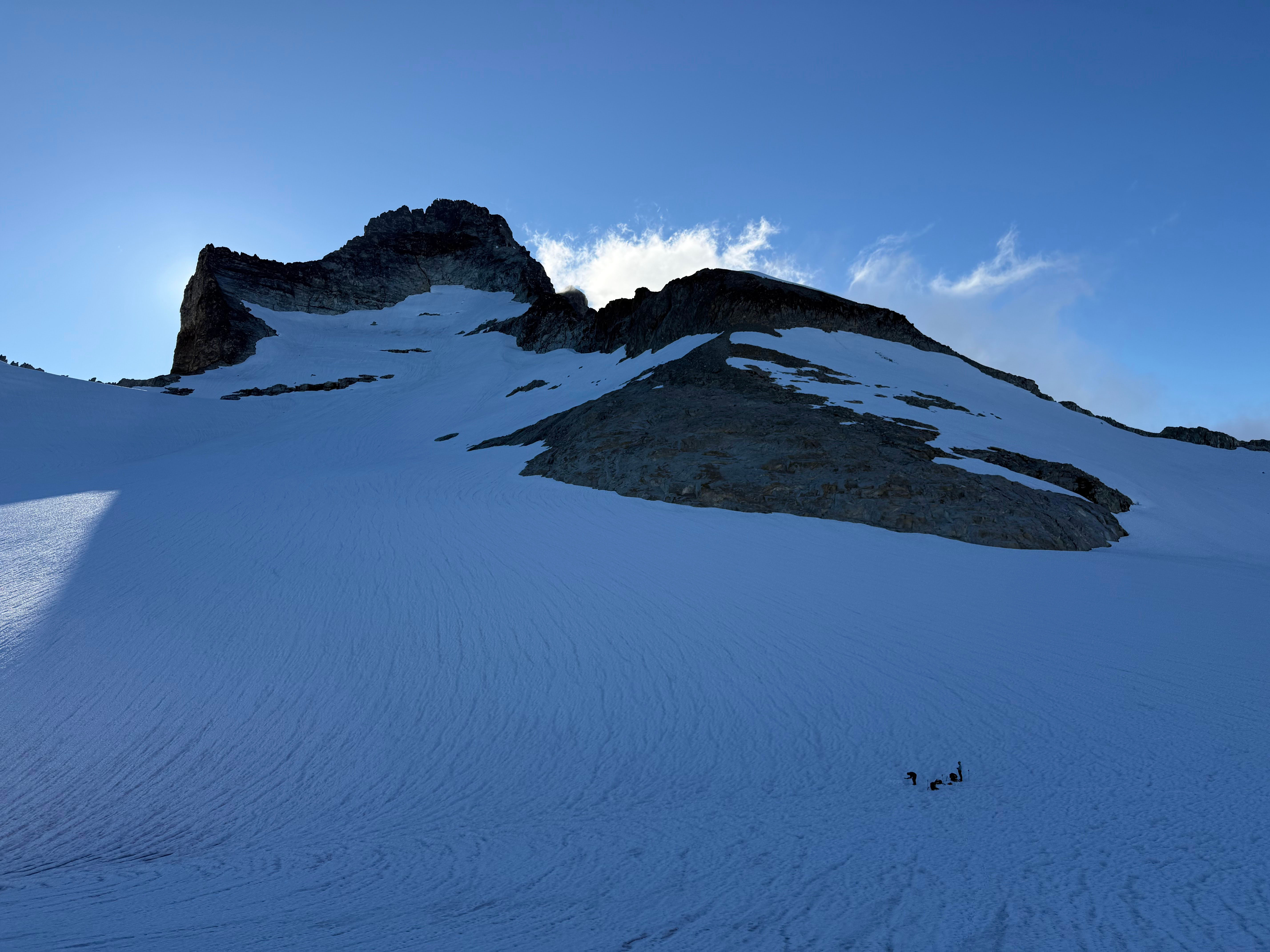
Our camp as seen from where the flowing water was
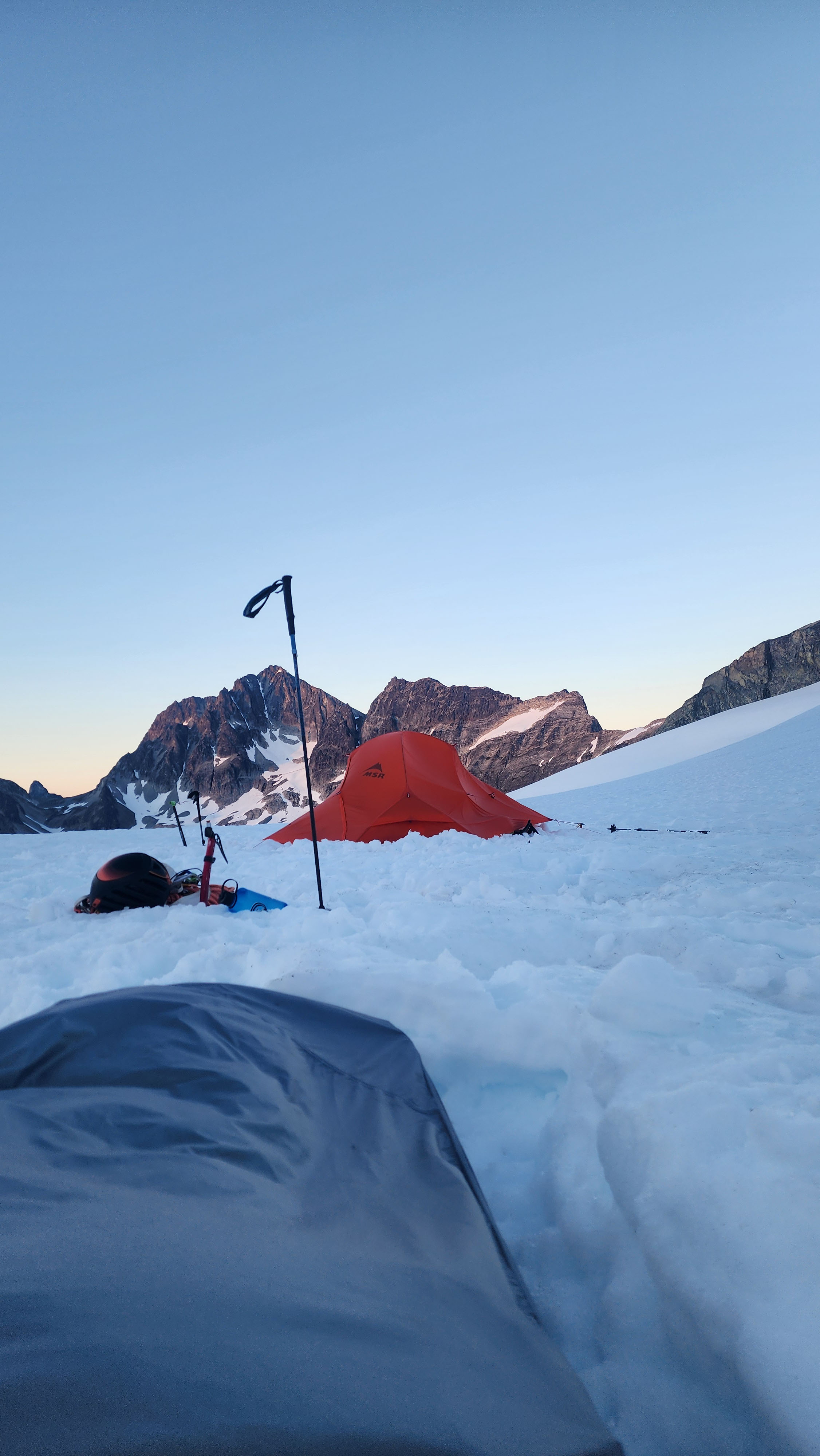
A nice camp
Day 2
We awoke at 5 the next day to pitiful near whiteout conditions. However, my forcast did say it was about 70% cloud cover until 8, so this was reasonable.
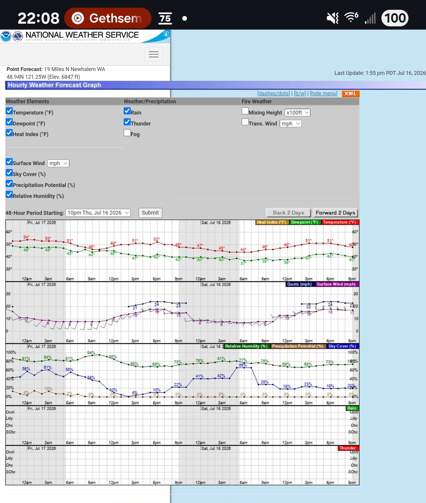
A forcast at 6800' on Hard Mox I saved before leaving. Note the cloud coverage drop to 20-30% by 8, and 0% precipitation chance.
We got ready and were heading to Hard Mox by 6:13. We roped up for the remaining bit of glacier, then ditched our pickets on the rock at the drop down to Hard Mox. We saw the tents of the people's bootpack we were following. They stayed on the high traverse, but I'd heard the high traverse was bad, so we dropped to the typical low traverse. The visibility got much better as we descended away from the glacier.
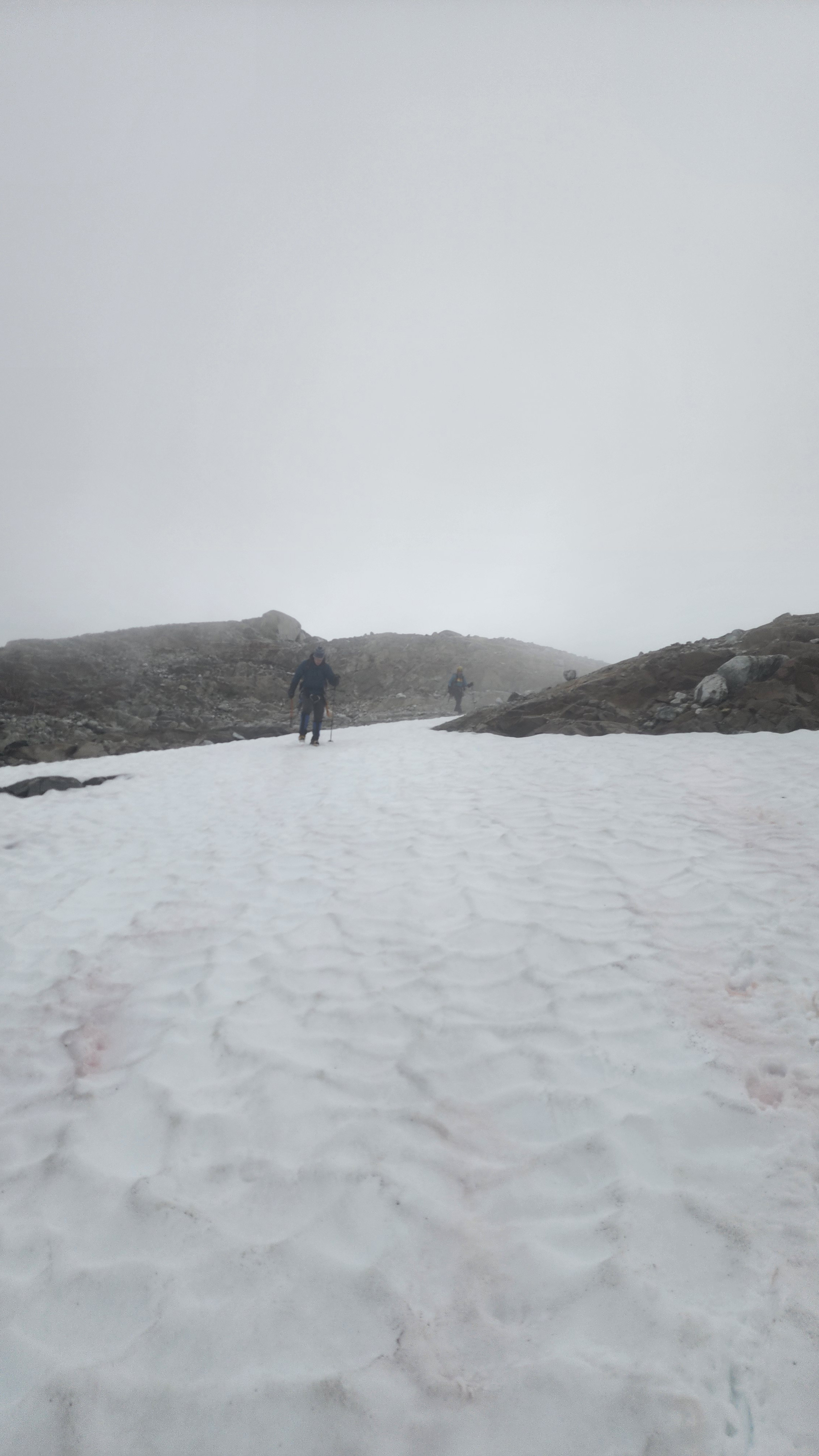
Some great visibility just below the Redoubt Glacier
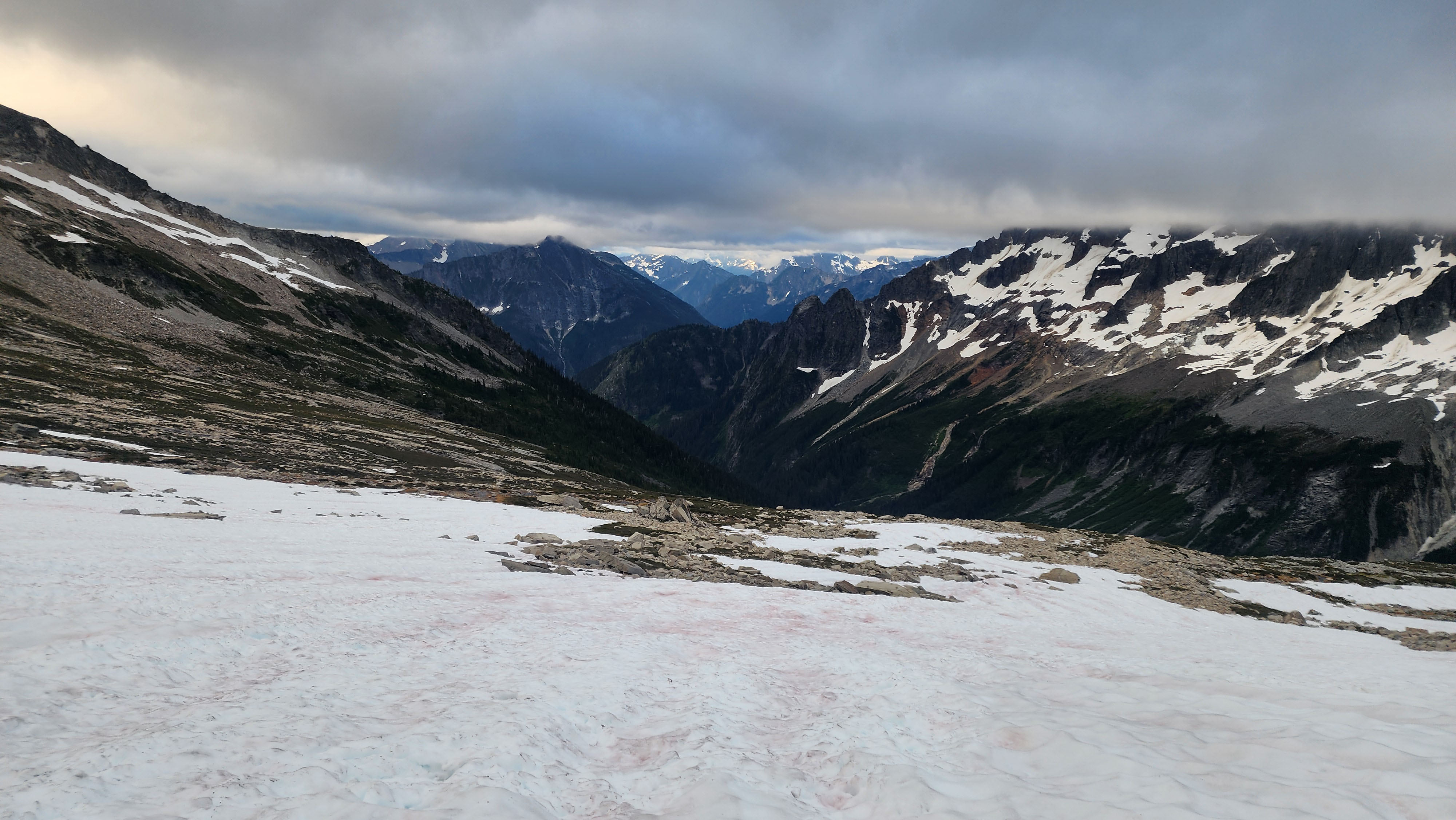
Can finally see something
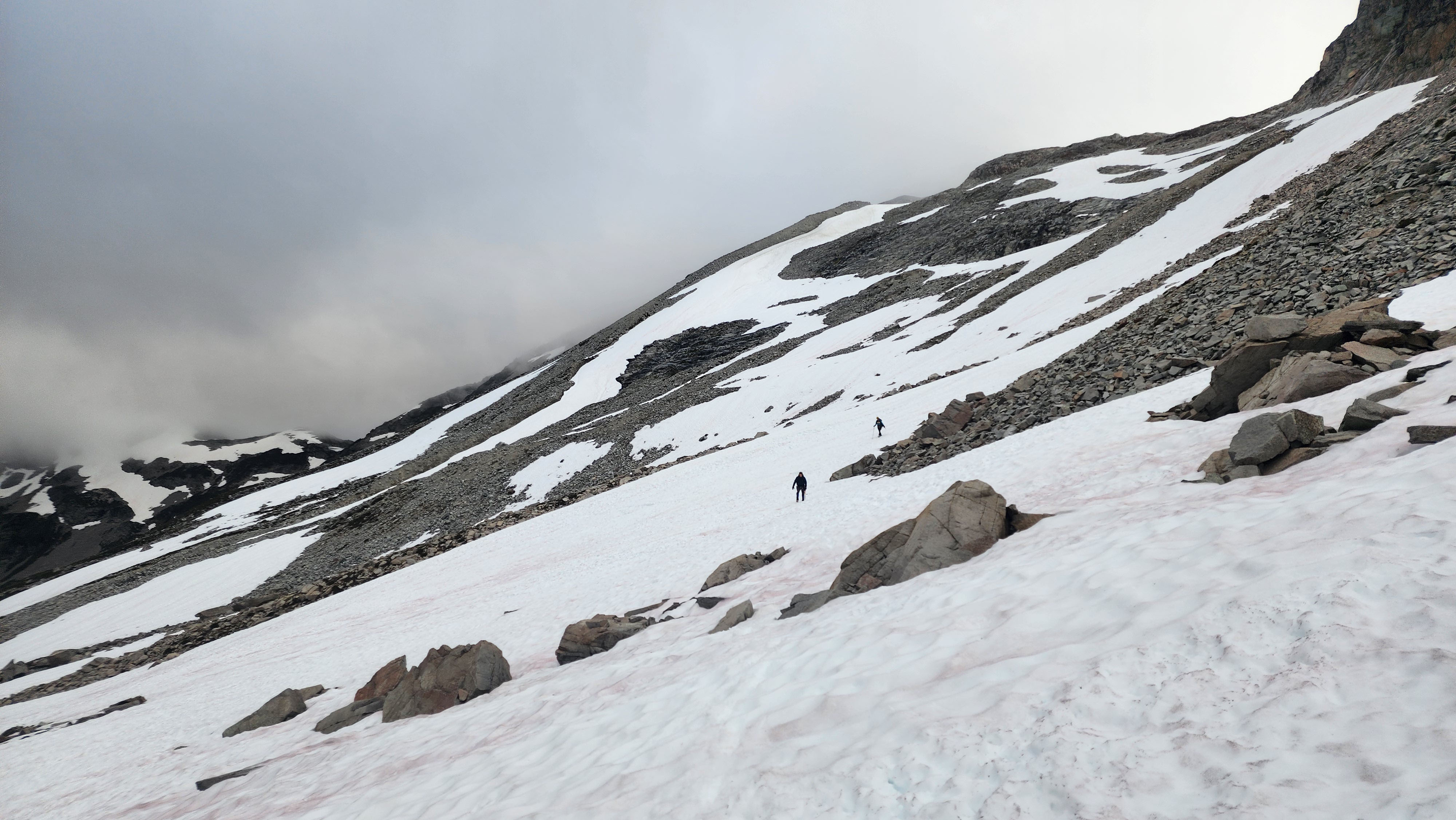
On the low traverse to Hard Mox
The low traverse went very smoothly. A good portion was melted out, making it a nice meadow and rock walk. There was lots of flowing water too, which we knew would be great for the way out.
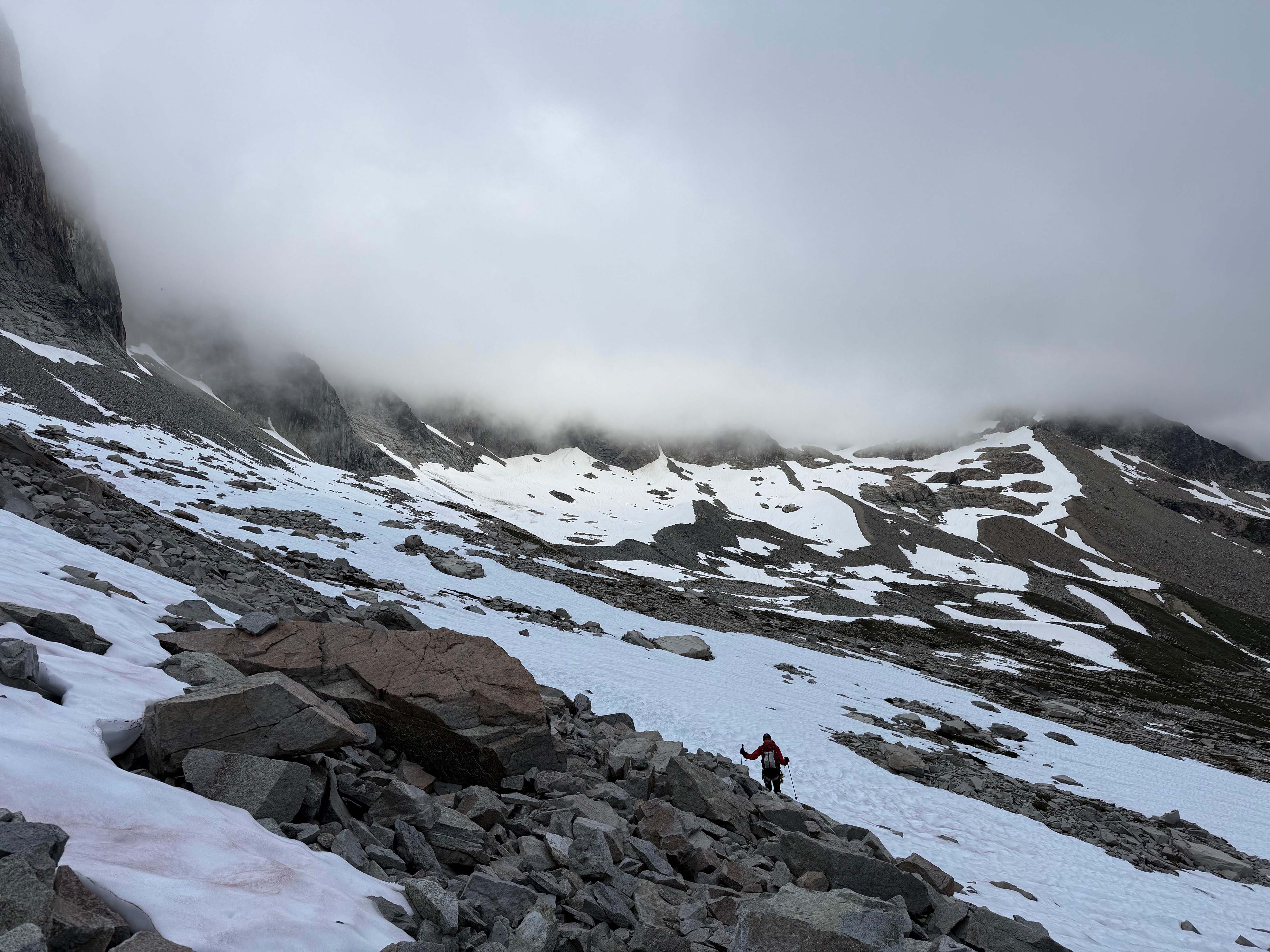
Me leading across the traverse
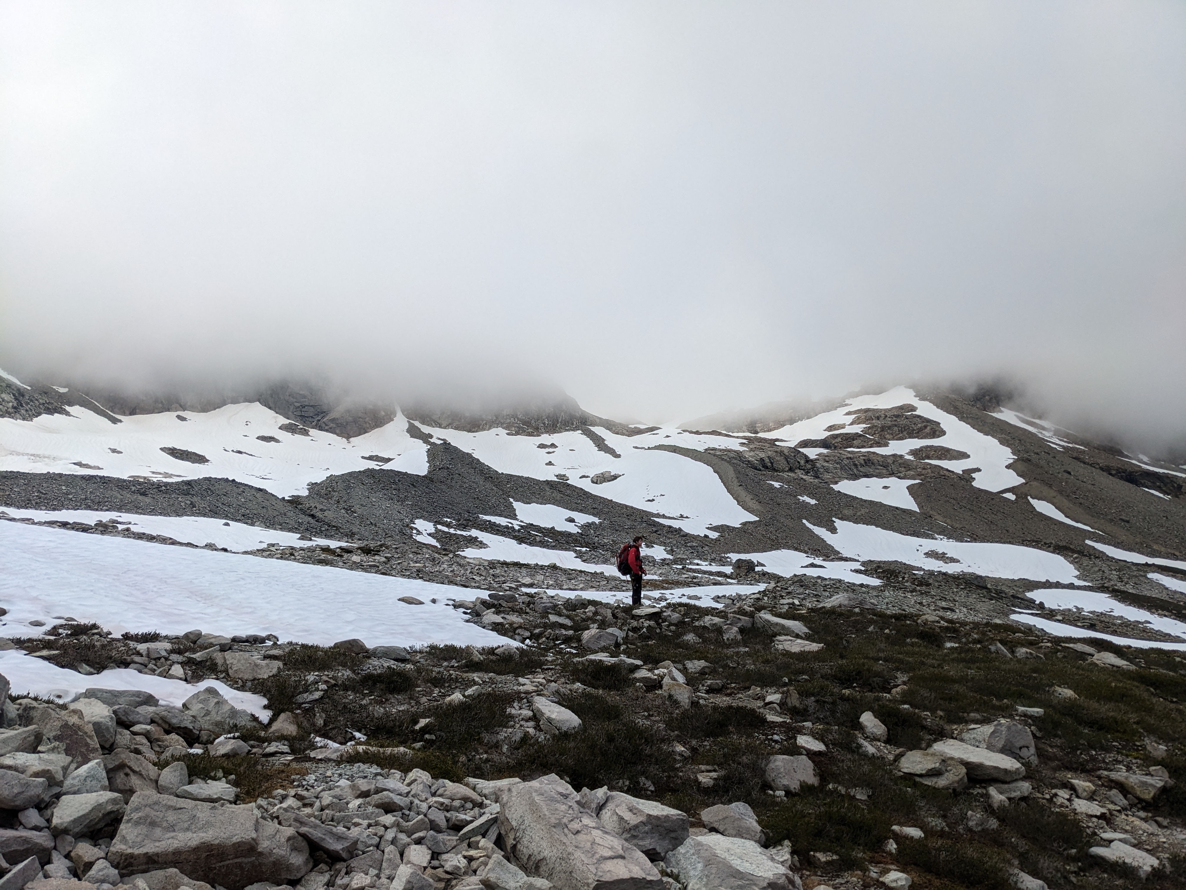
A nice meadow section
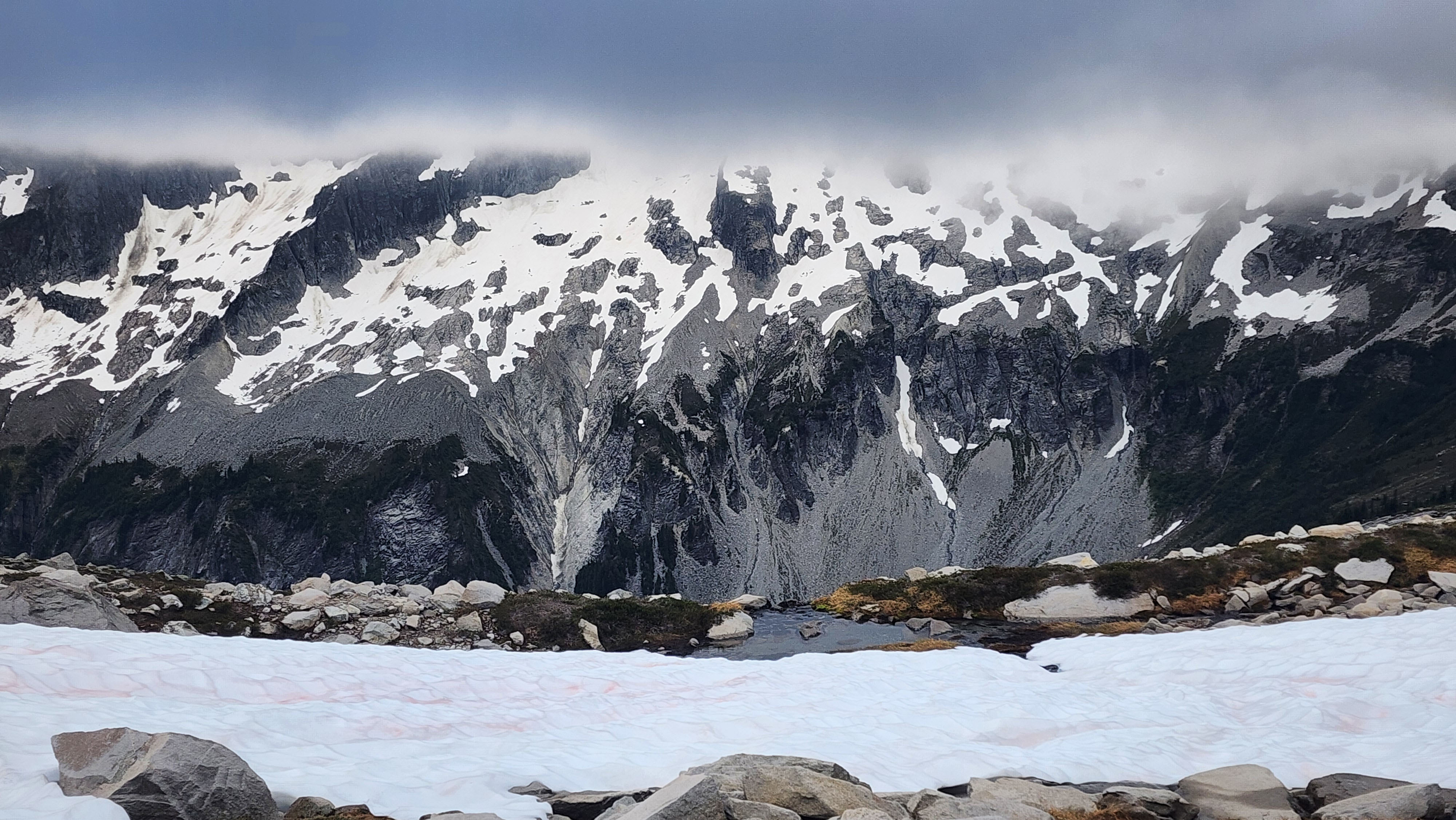
A cool tarn
Eventually we started gaining as we ascended to the Col of the Wild, the start of the route to Hard Mox. We soon found the bootpack from the other group, and followed it up. We got back into the foggy condition very fast as we ascended.
At about 200' of vert from the Col of the Wild, the terrain got steep and there was no more snow, only chossy rocks. It turned to scree and packed dirt near the top, where we couldn't stop sending down rocks. This section actually really sucked to go up.
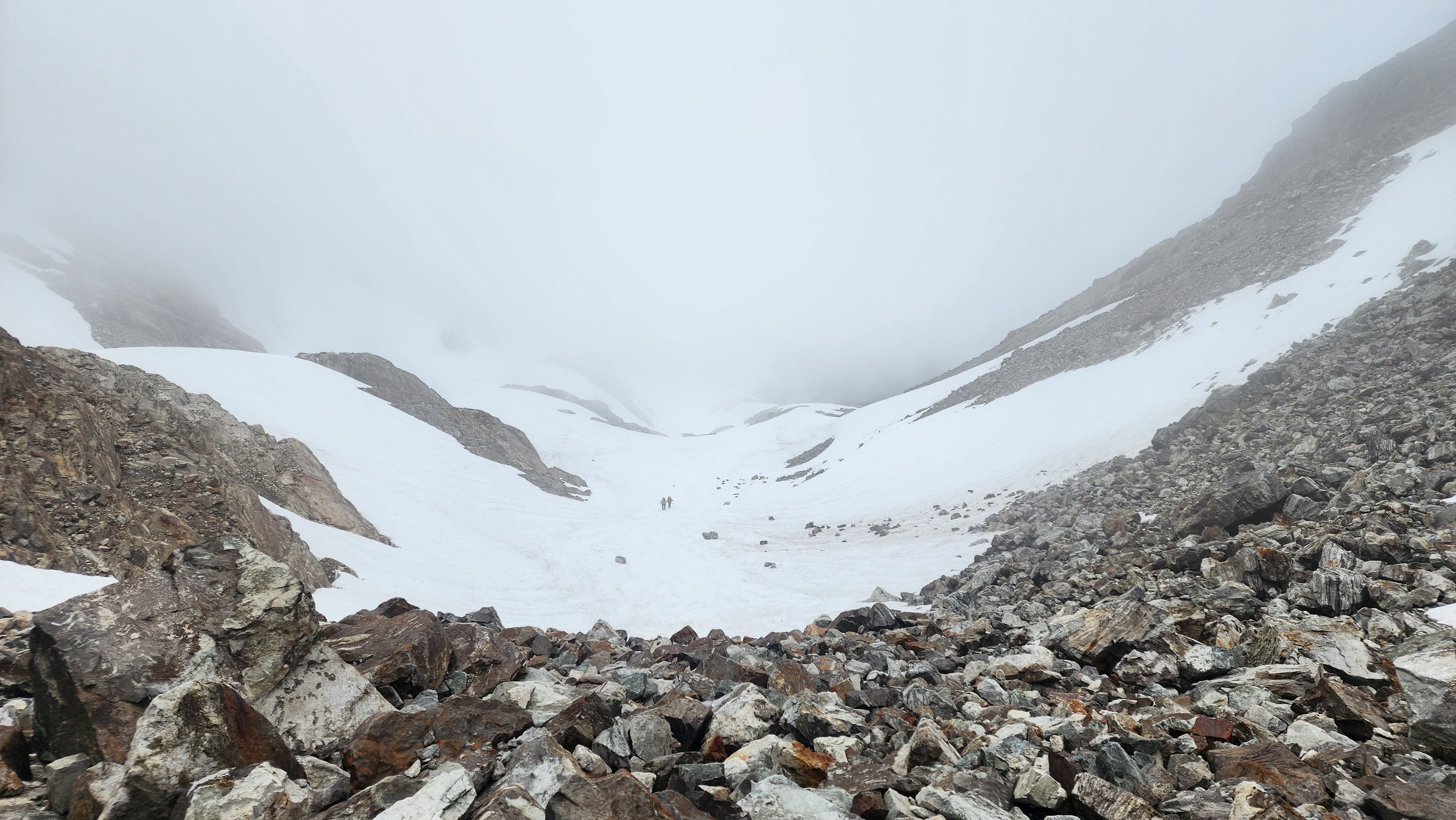
On the rocks about 300' vert from the col
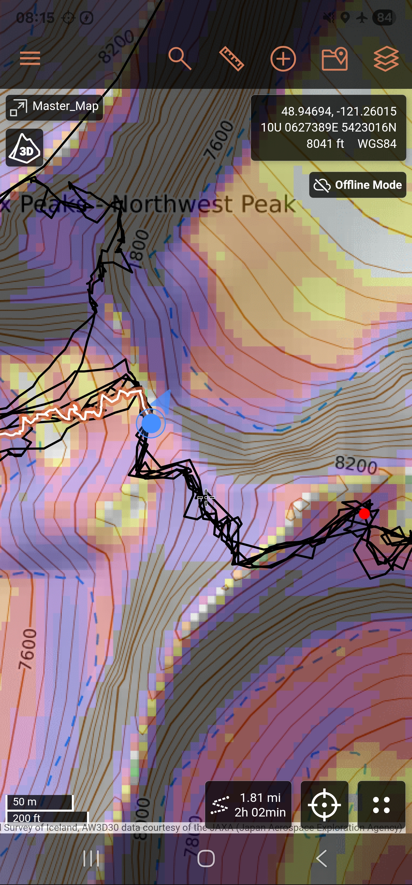
My GPS showing that it only took us 2 hours to the col. The black lines to the south show the standard route up Hard Mox, the West Ridge
Hard Mox West Ridge Climb
I usually don't really read trip reports to learn about a climb before doing it. I usually just look for the basic description for gear planning and a gps track or two then call it good. However, Hard Mox was probably the most trip reports I've ever read on a peak before actually doing it. Though I'm too impatient to not just skim through each one. I figured if I could memorize the route description well enough, it would allow us to move much faster, losing less time to wrong turns. This would, in theory, give us the best chance of doing Easy Mox in the same day from the Col of the Wild.
The col was quite windy, so I headed up the route a bit to find a protected spot from the wind. My group caught up and we discussed our plans. Our third member wasn't feeling super interested in climbing, which they had expressed to us before we even went on the trip. They had brought their bag and pad incase they didn't climb, so they headed back down to find a spot to chill while we stitched up the climb.
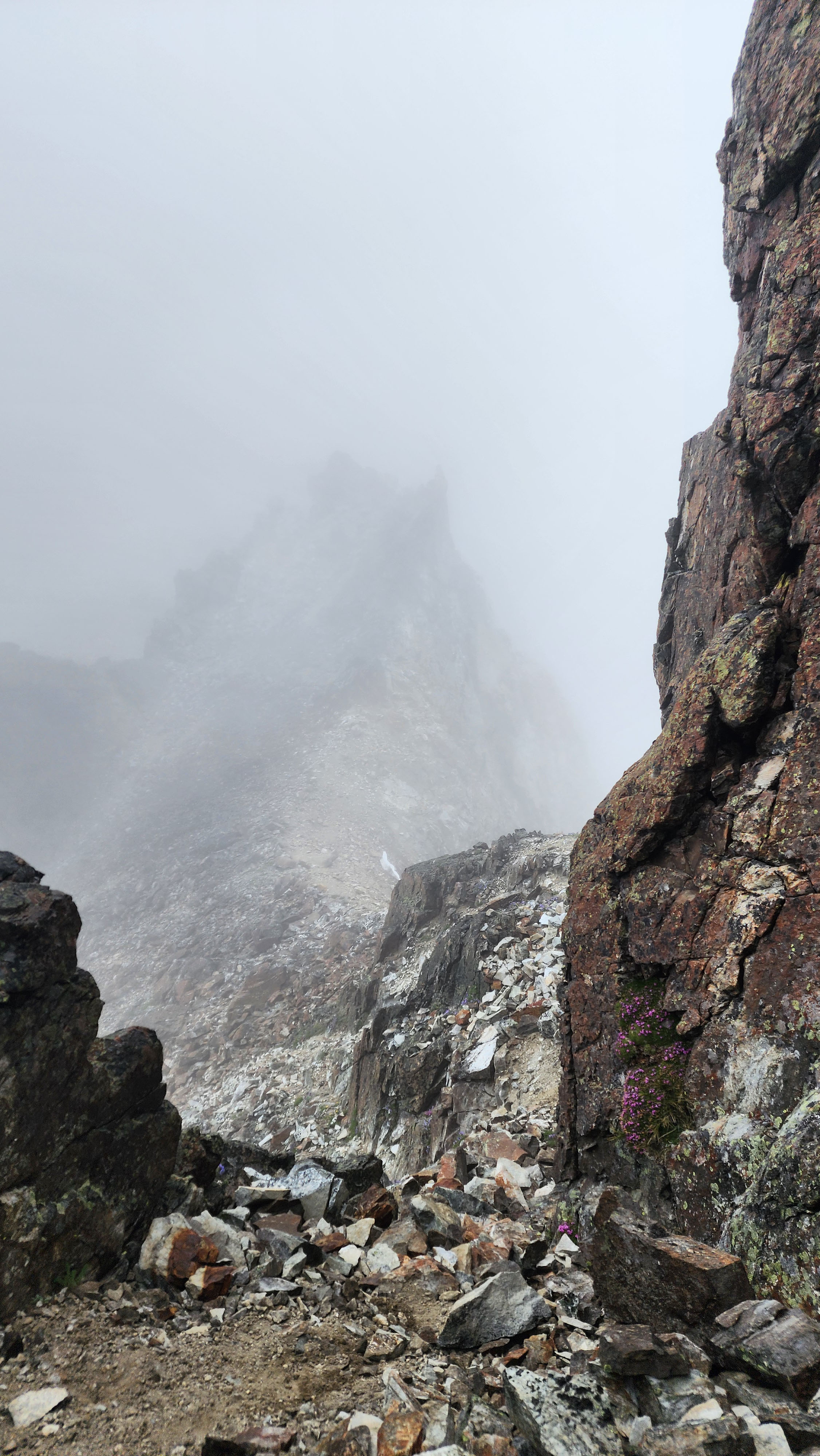
The Col of the Wild from my hiding spot from the wind
Now as just a duo, we made our way up the ridge. Route finding was already hard, and it took us a while to find where we were supposed to drop down into a gully.
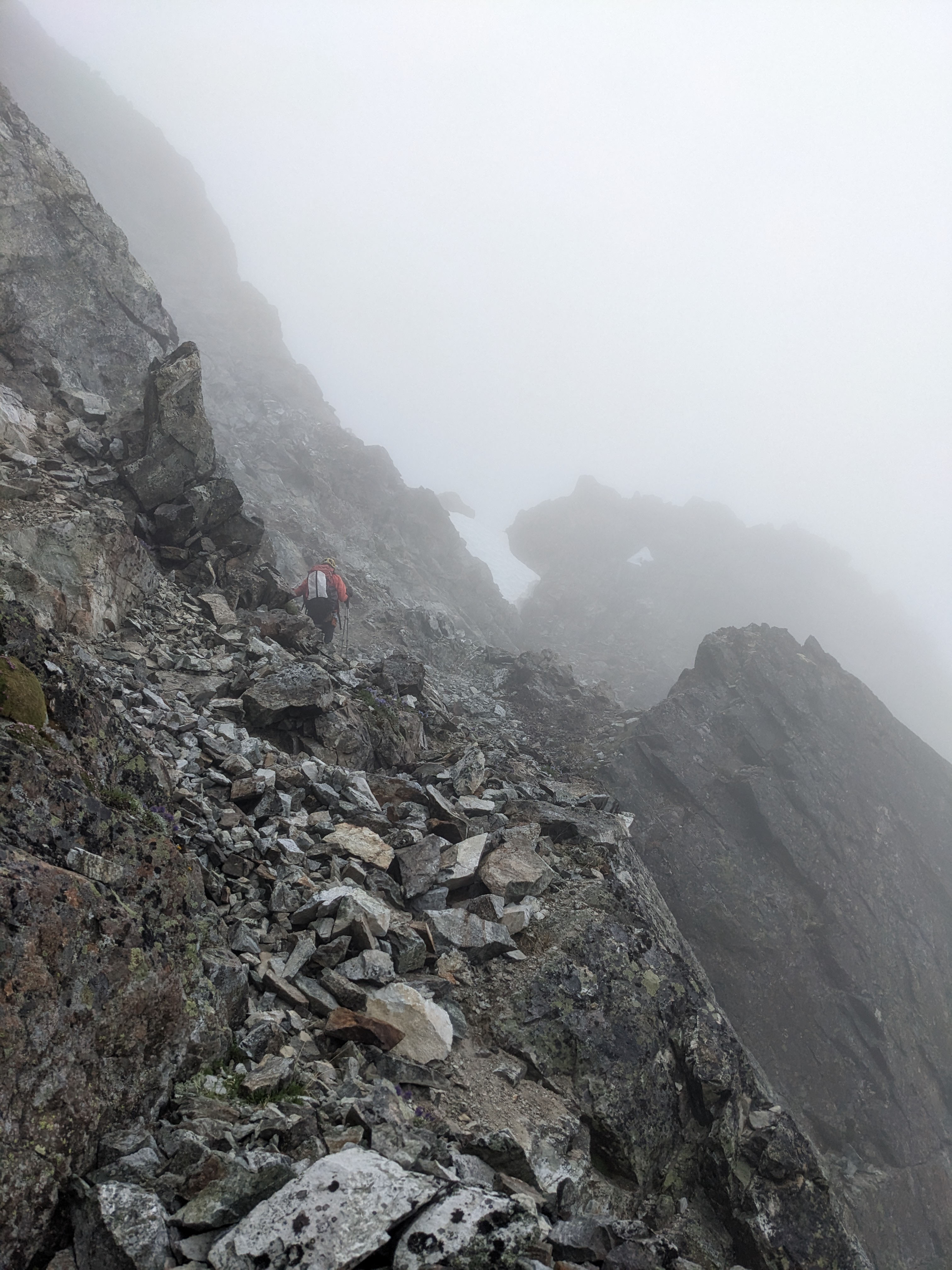
Headed up the ridge; the gully is on the other side of the saddle where the snow is
The gully was easy to get up and we saw where the route continued to the right at the top of the gully. It was actually kinda difficult climbing to get up the first bit, though being in boots likely made it much harder. I loosly remember someone mentioning this crux as a short "bouldering" section.
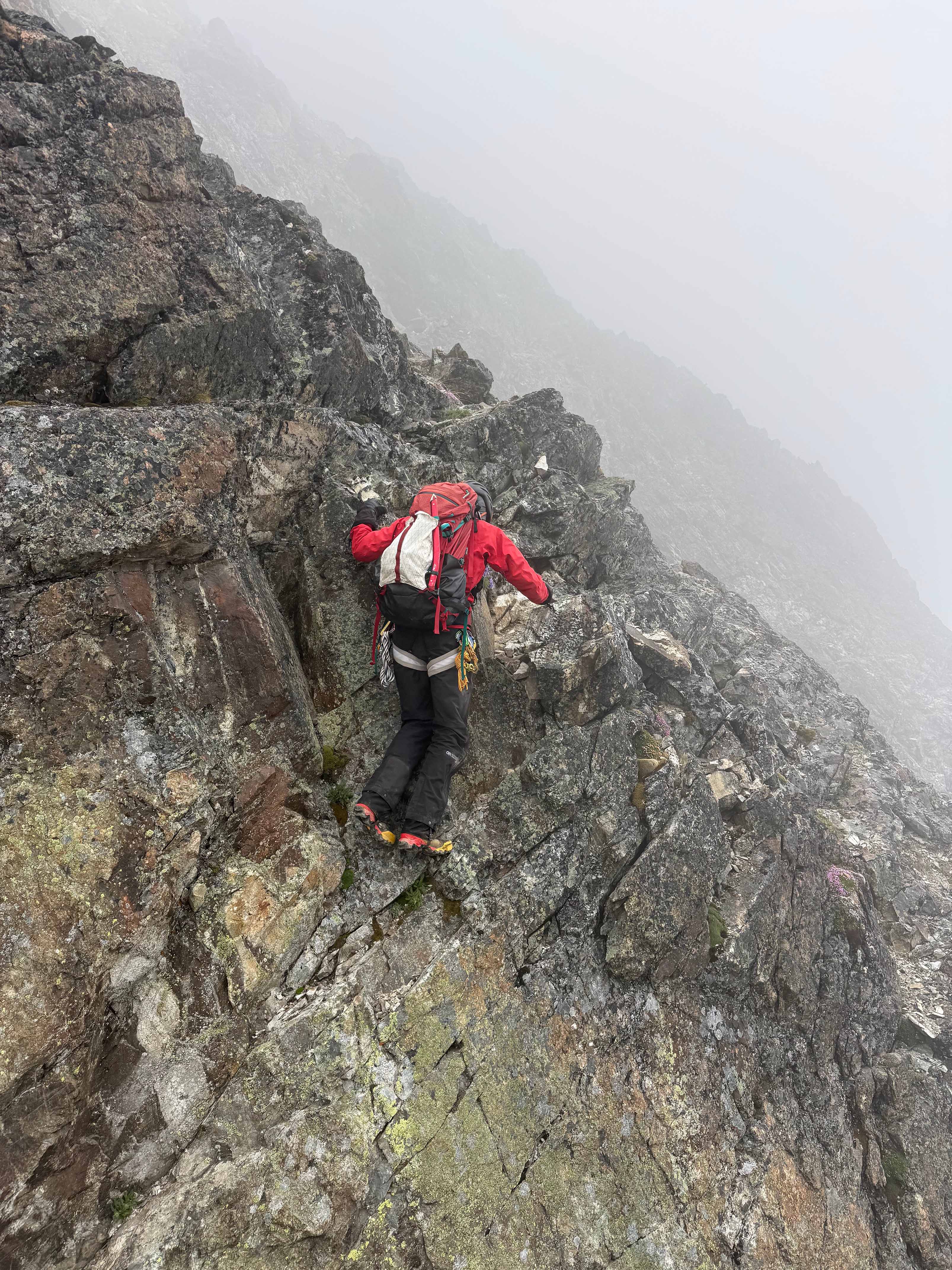
Me leading up the initial crux in boots
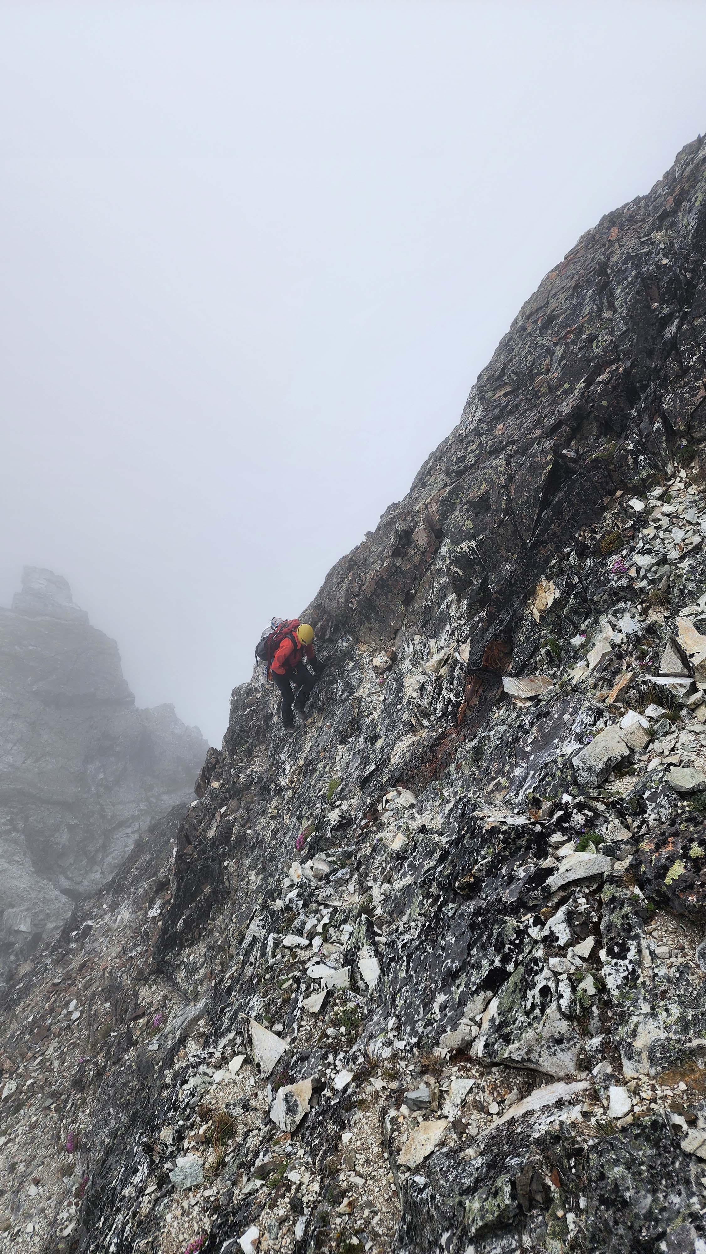
My partner following me past the crux
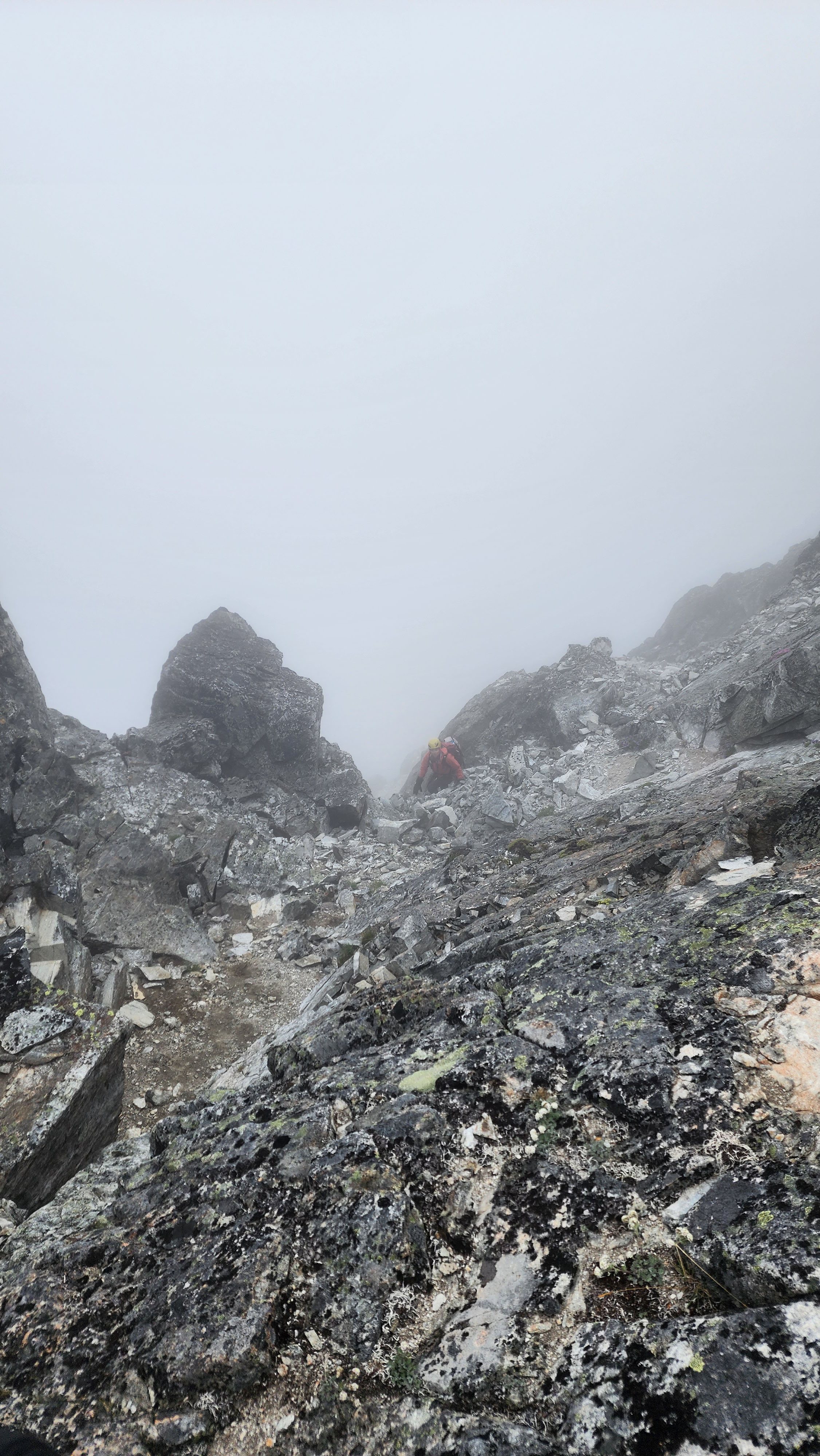
Almost to the ridge
We definitely did not take the easiest route to the ridge. We realized the rock cairns were trying to lead us the easy way, but we just climbed straight up. Once at the saddle, I knew exactly where to go next from all the trip reports. We dropped down the other side of the saddle following some cairns and then traversed out left following more cairns.
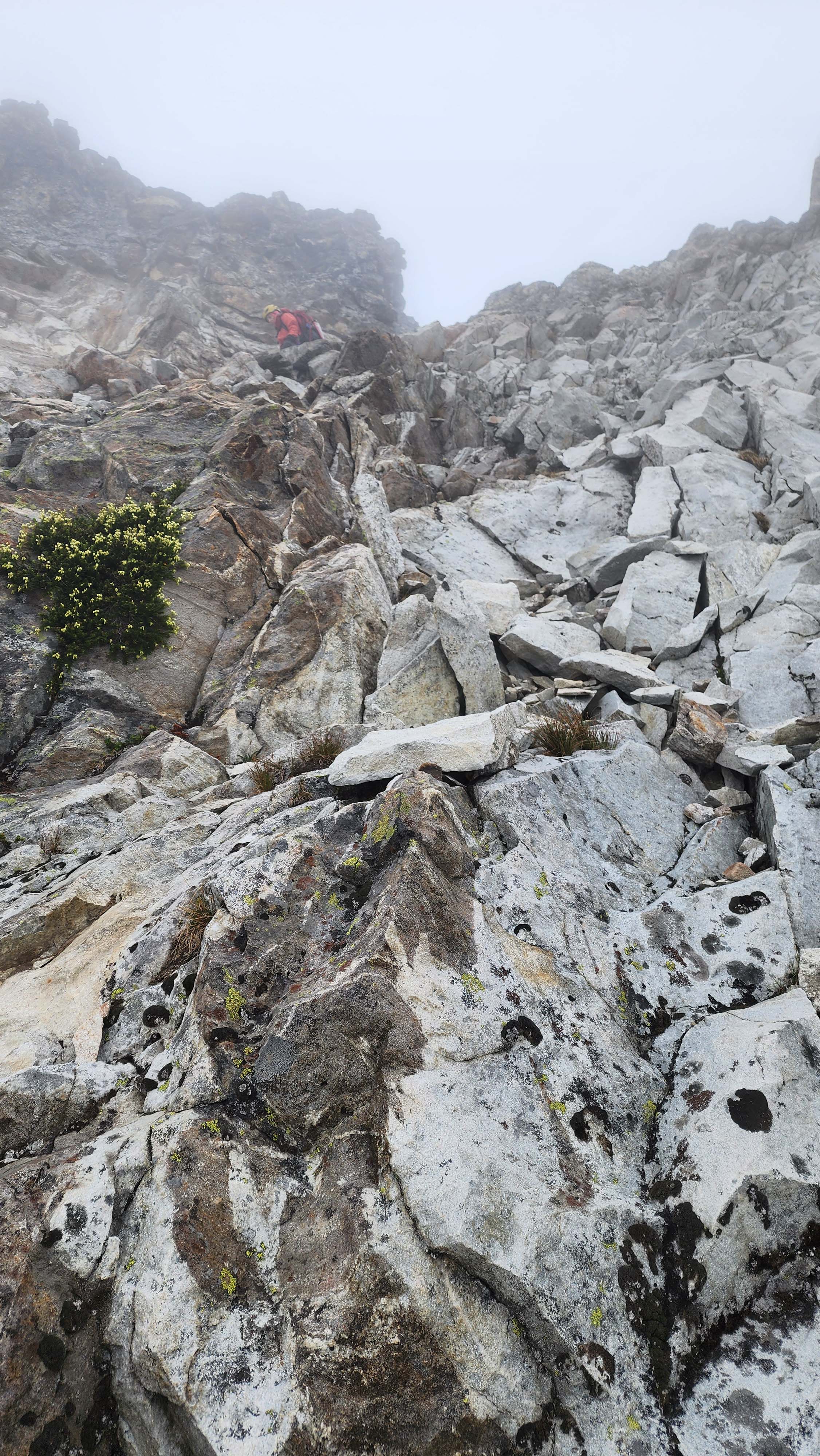
Dropping down from the ridge to the ledges below
After traversing a bit, we heard talking from above us. Not long after I saw a person who was about 30 metres above me. We talked for a bit before I saw his partner show up just across from me. They had ended up too high on the ridge and were working on getting back on route.
I got in front of them and continued across the ledges. I hit a red anchor just above a sketchy looking ledge. I guess I hadn't read quite enough trip reports, cause the other group knew exactly what it was. The anchor seemed to be for a belay across the sketchy ledge.
My partner caught up and we leaded across the sketchy ledge. I was dirty and falling apart, so it took us a while to get across it safely. At this point we spotted the snow finger, so I walked out to it and found the rap anchor.
The other group followed us across the ledge and came down to the anchor, where I was working on setting up for a rap. They mentioned needed a longer rap than 30m (60m rope), which I hadn't heard anywhere in the trip reports. It's safe to say I might skim read too fast. Since they were there anyways, we agreed to combine our 60m ropes for a full 60m rap.
I rapped first down the finger, while constantly dealing with the ropes getting stuck in the moat; one got so stuck I had to climb back up the rock a little to free it.
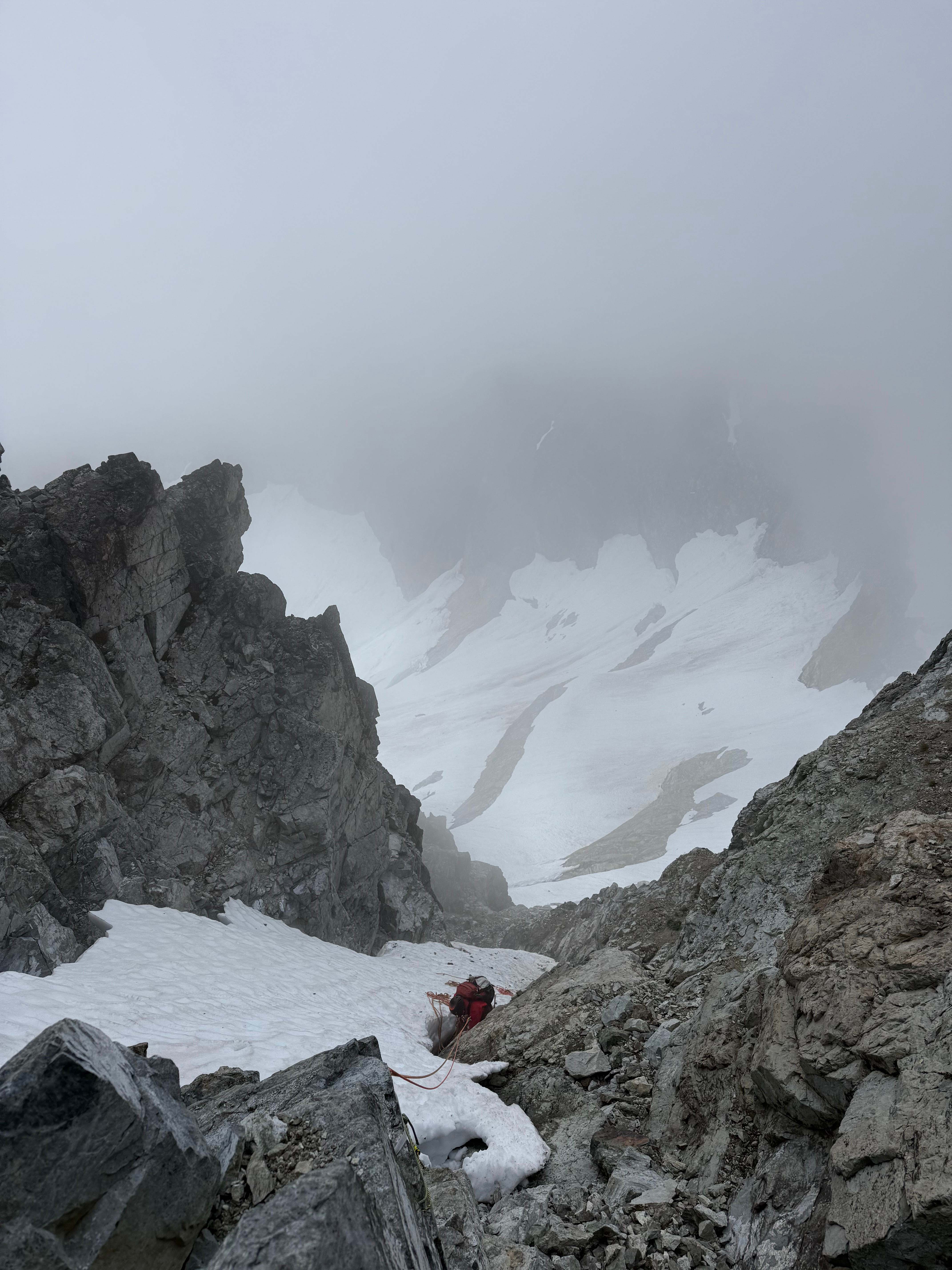
Me dealing with one of the many places the rope got stuck
It took me a while, but I eventually made it to the base of the snow finger. I then called for the others to rap down, while I sat looking up at the rest of the route to the right.
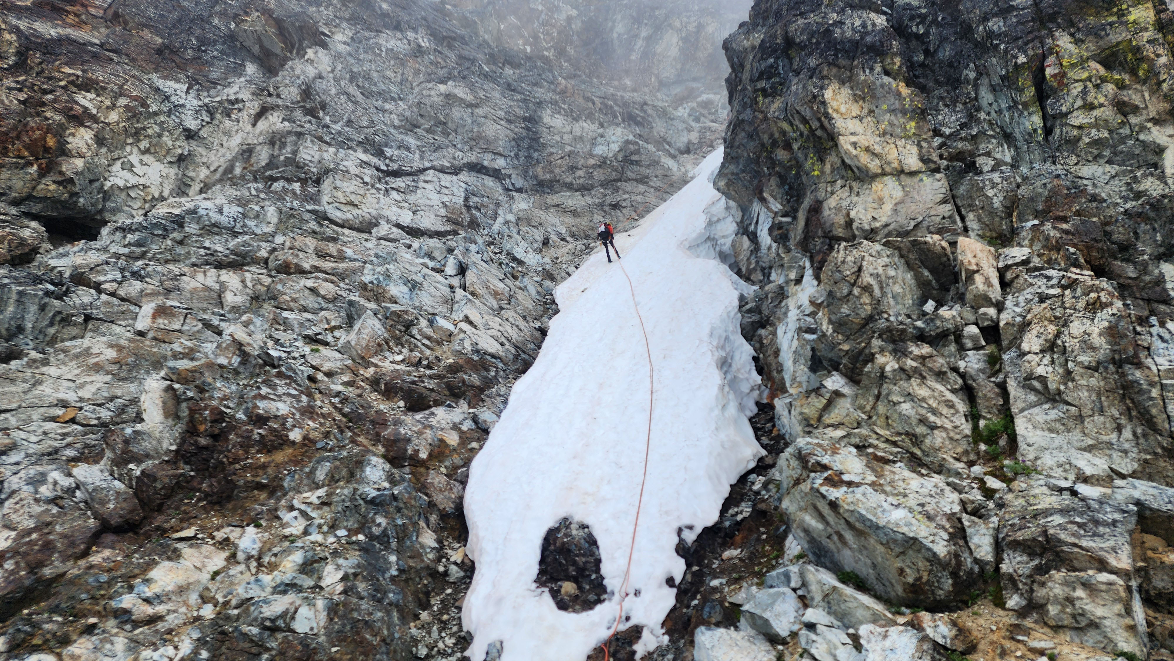
My partner rapping down
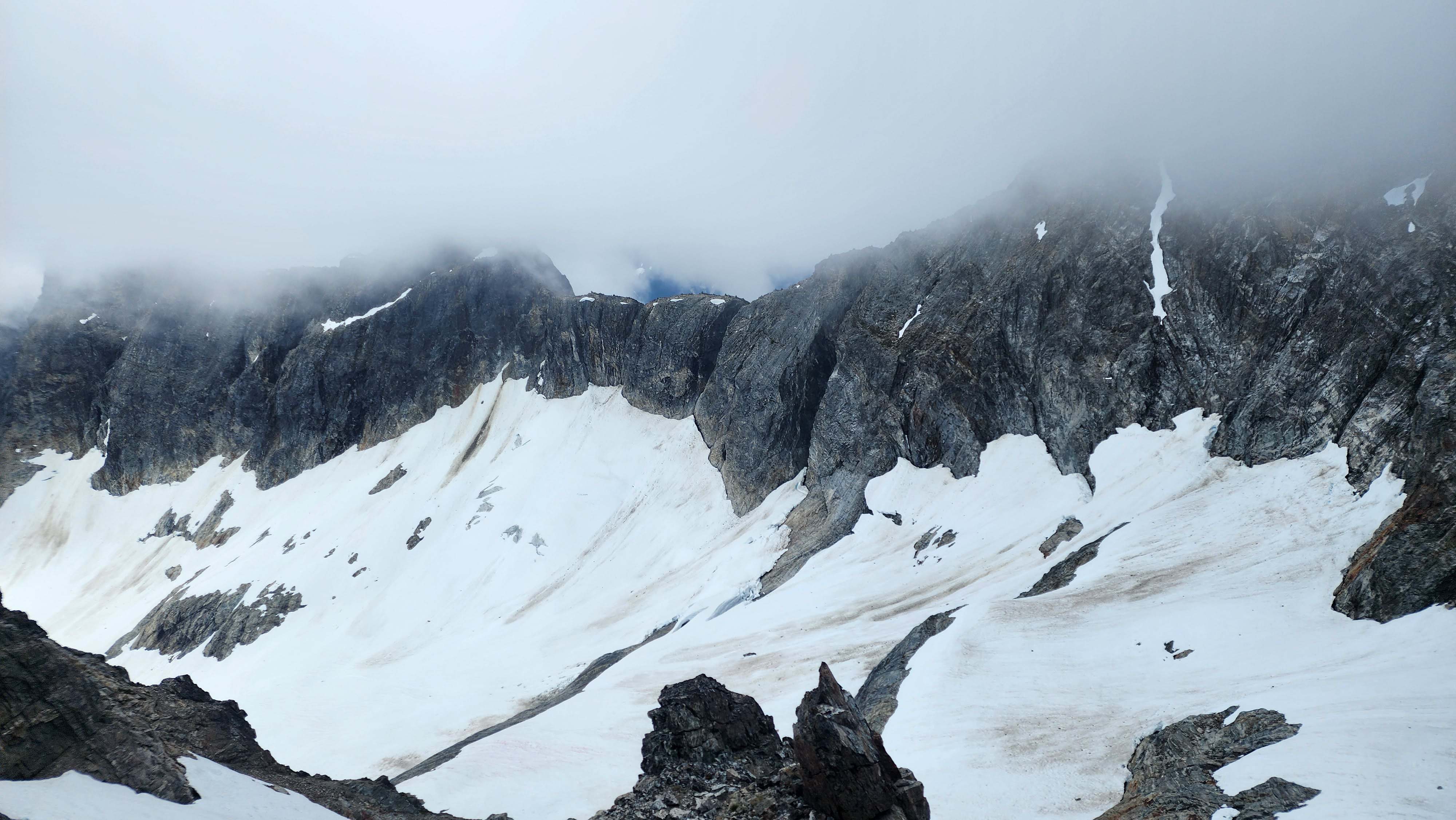
Looking down at a cool glacier below
The two 60m ropes got us all the way to the base of the finger with room to spare. However, a single 60m rope rap would've been just fine, only adding a bit of down scrambling. The other group said they had brought a 60m plus a 30m rap line. This seemed really unnecessary to me, so I'm actually glad I didn't read that beta.
Once all at the ledge, we discussed plans with the other group for the next section. I thought it looked easy enough to go around left, but the other group said they had beta of going around right. Since it seemed like they had done more research, we let them lead first up the next section of route.
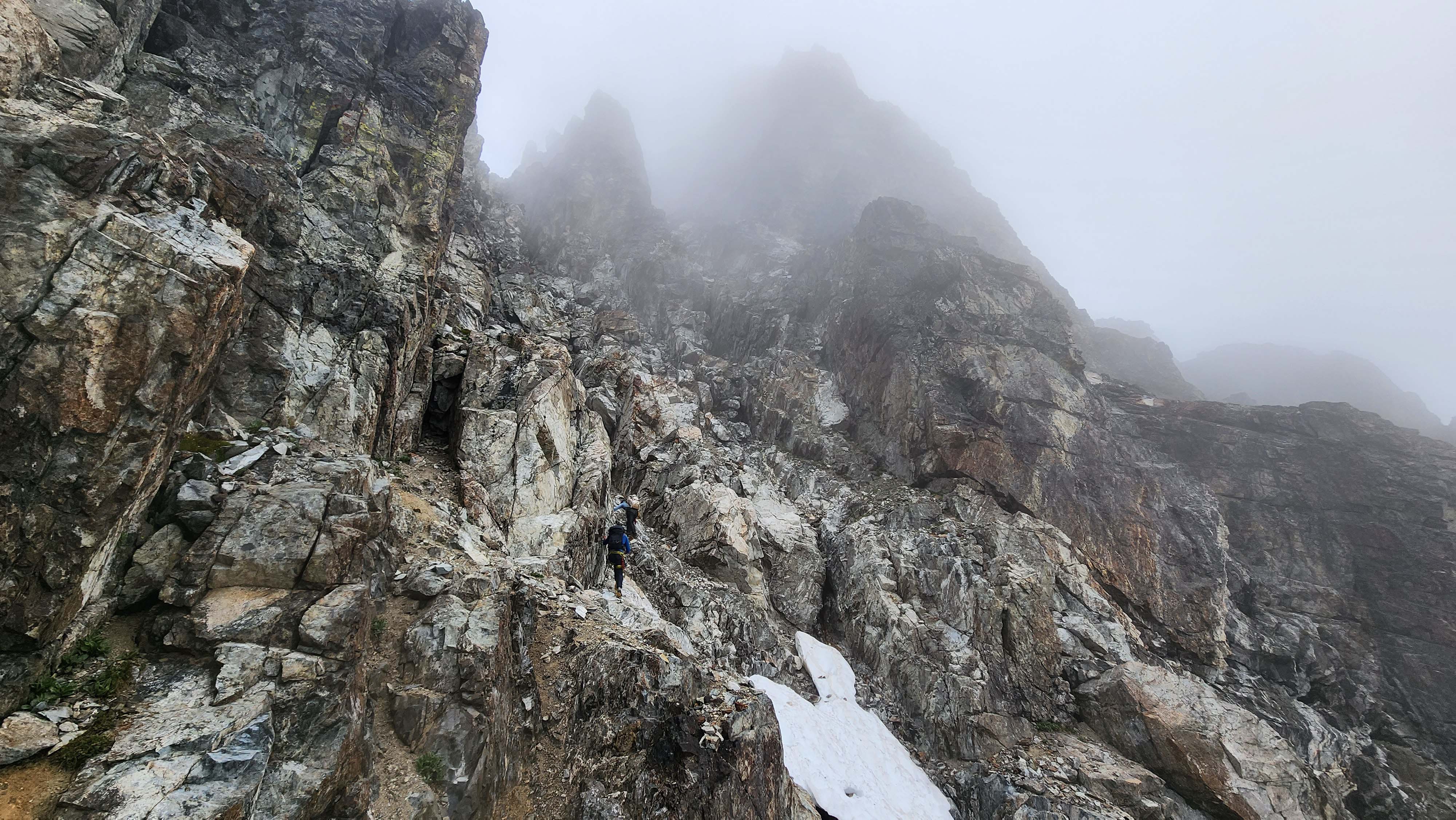
The other group taking the lead up into the abyss
We let them get a good headstart for rock fall purposes. We left all our snow tools at the ledge, including our boots, as we switched to rock shoes. Once they were out of the way, we headed up roughly following their route. The route was just as chossy as everything else, but easy enough climbing. Nothing exeeded low 5th getting up to the upper gully.
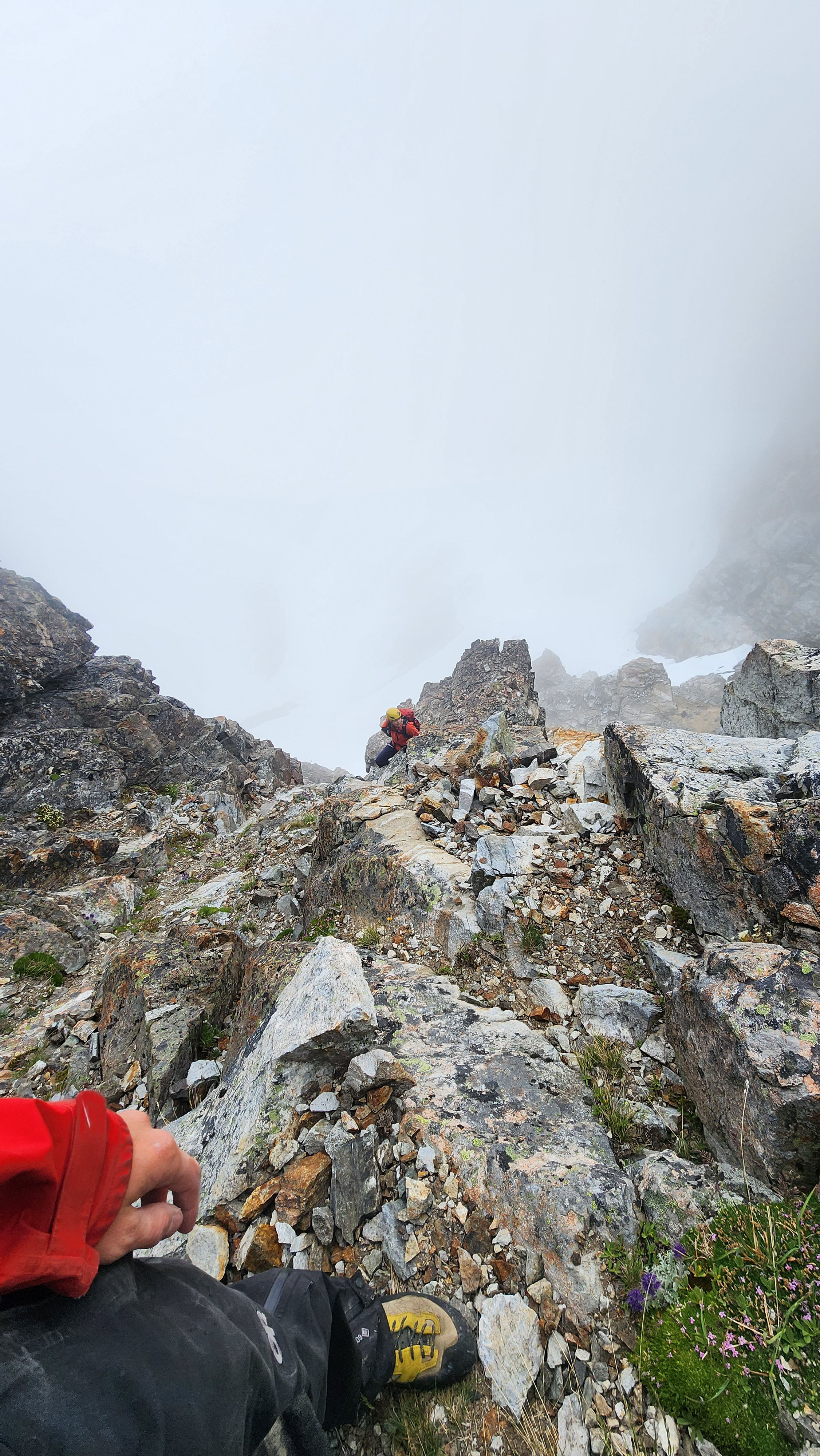
On easy terrain just before the upper gully
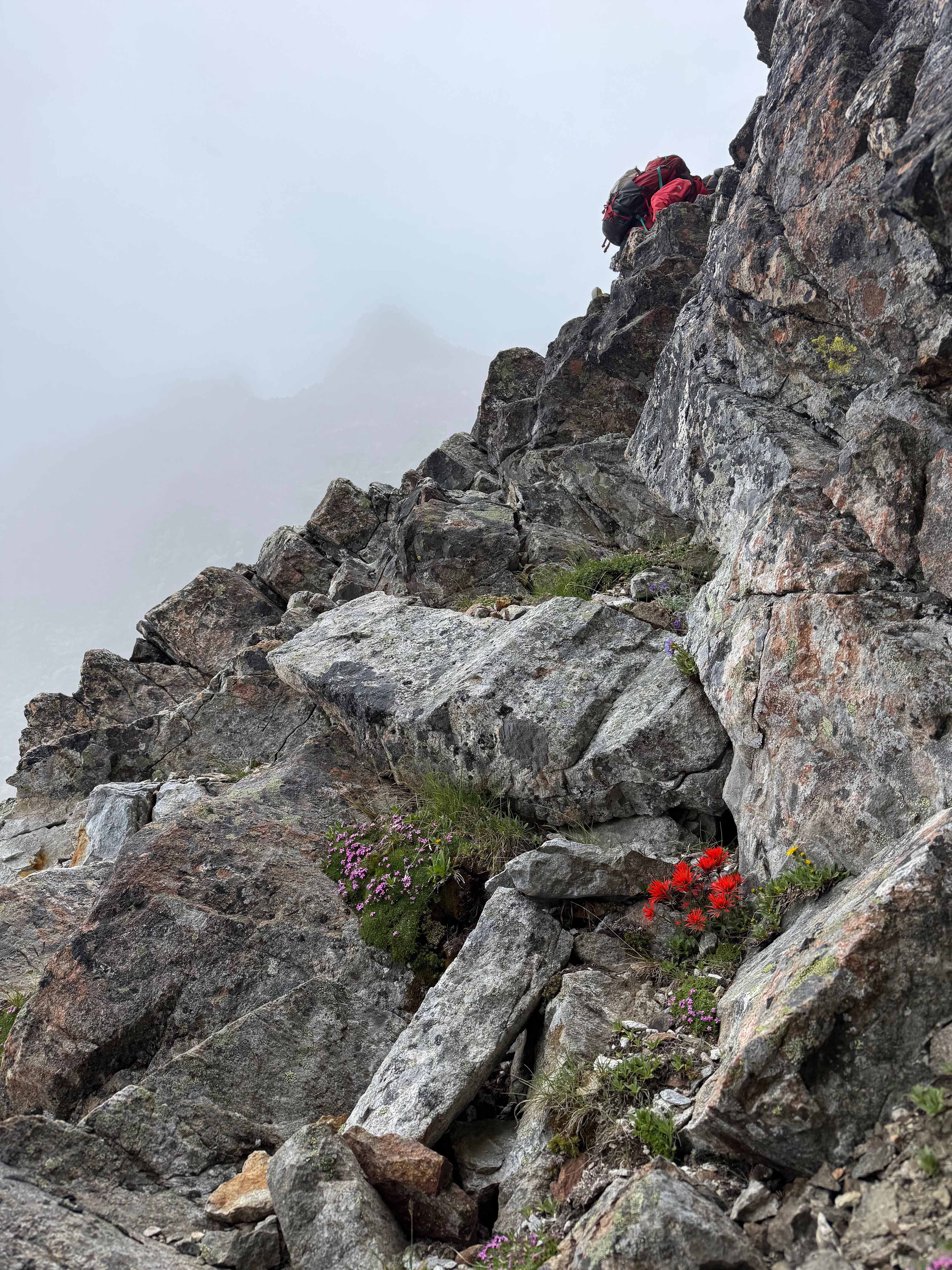
Me heading up to the upper gully
We continued to cordinate with the other group as we traversed to the base of the upper gully. We figured it was best to let them climb the entire upper gully before we headed up. Once they were at the top, we quickly made our way up to them. There was a short, fun crux to get into the upper gully, then the rest was typical chossy scrambling.
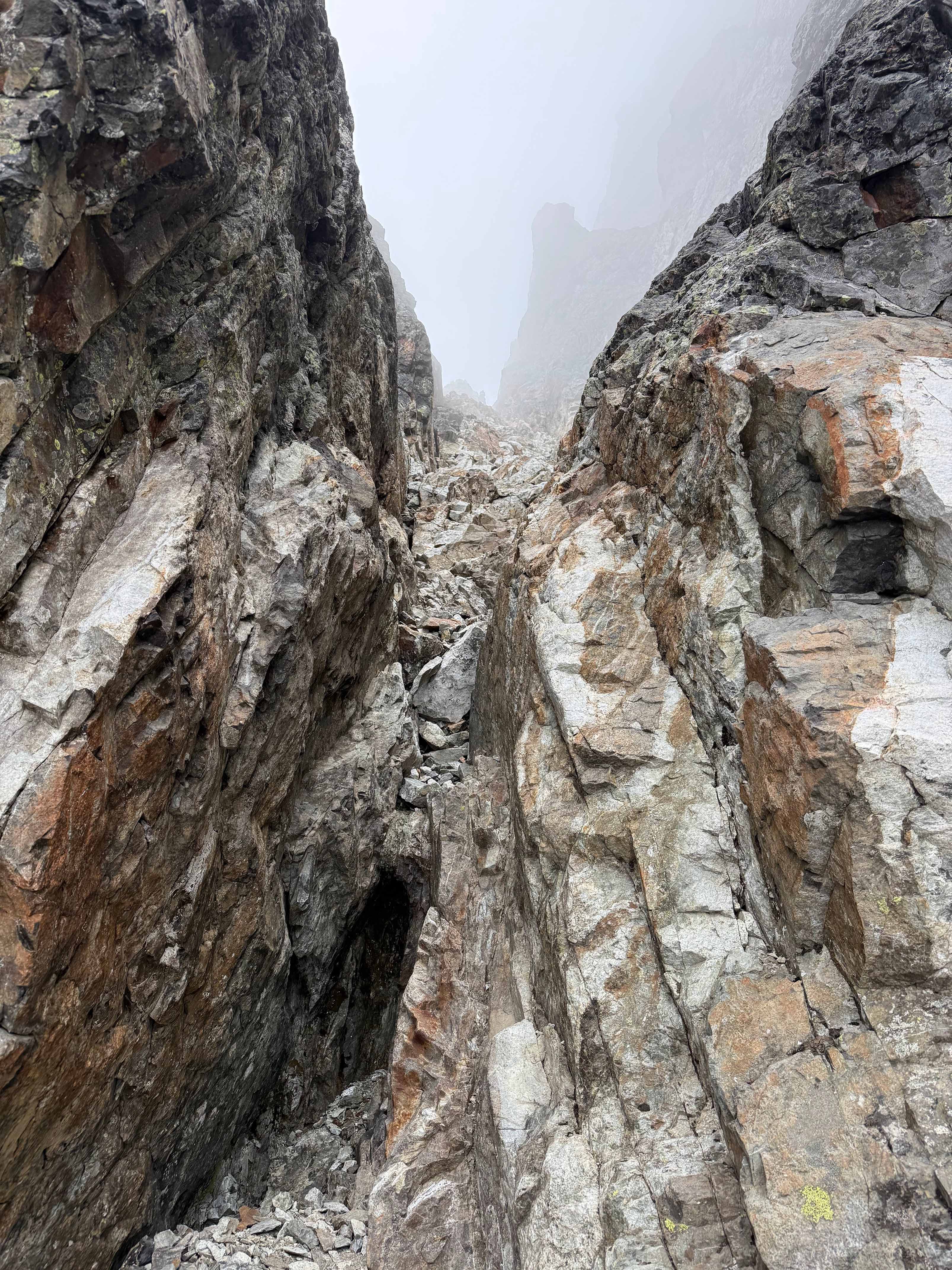
The crux to get into the upper gully above
We met back up with the other group at the top of the gully. It was clear that this was the start of the rock pitches, so we joined them in gearing up.
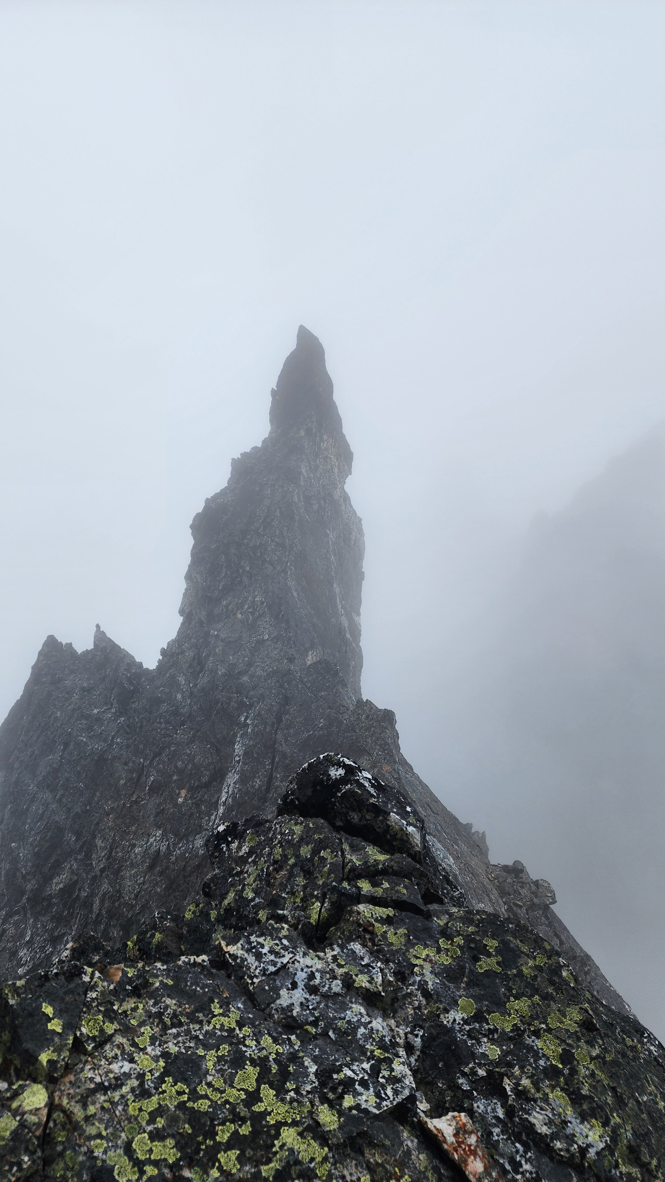
On the saddle at the top of the gully
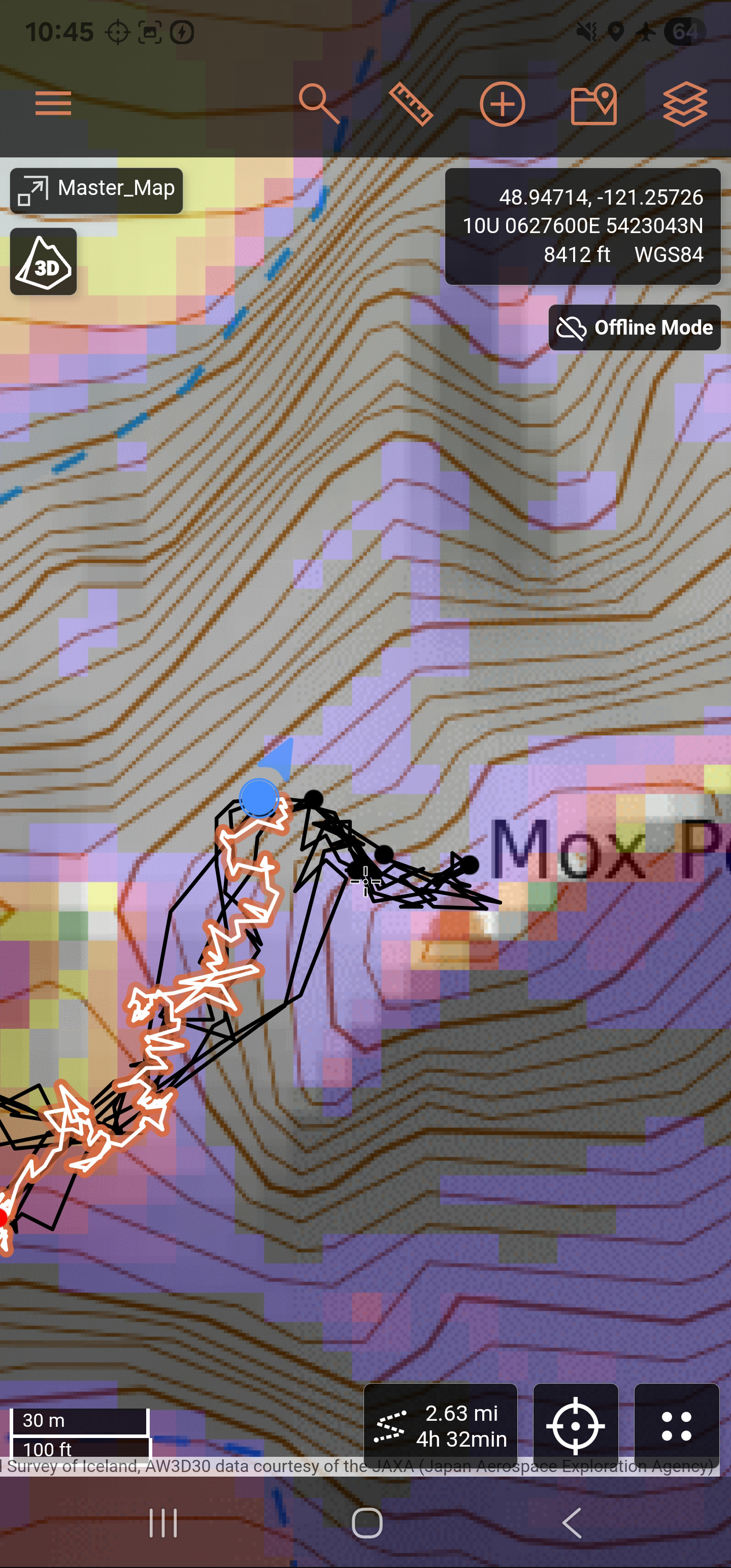
My gps showing us very close to the summit. It had taken us 4h 30m to get here, so 2h 30m from the Col of the Wild. This didn't seem bad for our slower pace due to coordinating with the other group
The other group headed up the first pitch first. We let them both climb up P1 fully before starting to avoid rockfall incidents.
I got all my equipment situated on my harness and pack gear loops, then started up the rock wall. The first bit of the pitch was the crux, which indeed seemed about the rated 5.5. Many holds were loose, so I had to constantly check what I was stepping on and grabbing. Once past the initial crux, the terrain died down to more ~5.4 range. I tried going left, but that seemed difficult, so I downclimbed and tried the right. The right went and got me onto some scramble terrain. I scrambled up and found where the other group was at the top of P1.
I climbed up around their belayer and clipped onto the anchor. The anchor was on an interesting rock peice, but seemed trustworthy enough. I called my partner off belay and sat waiting for the other group's belayer to climb up.
This was definetly the crux pitch, but overall I found it to be quite easy — I only placed about 3-4 pieces of pro in total.
The other group's belayer climbed up and I got ready to belay up my partner. I brought them up and we got ready for the next pitch; they had no problem with the pitch.
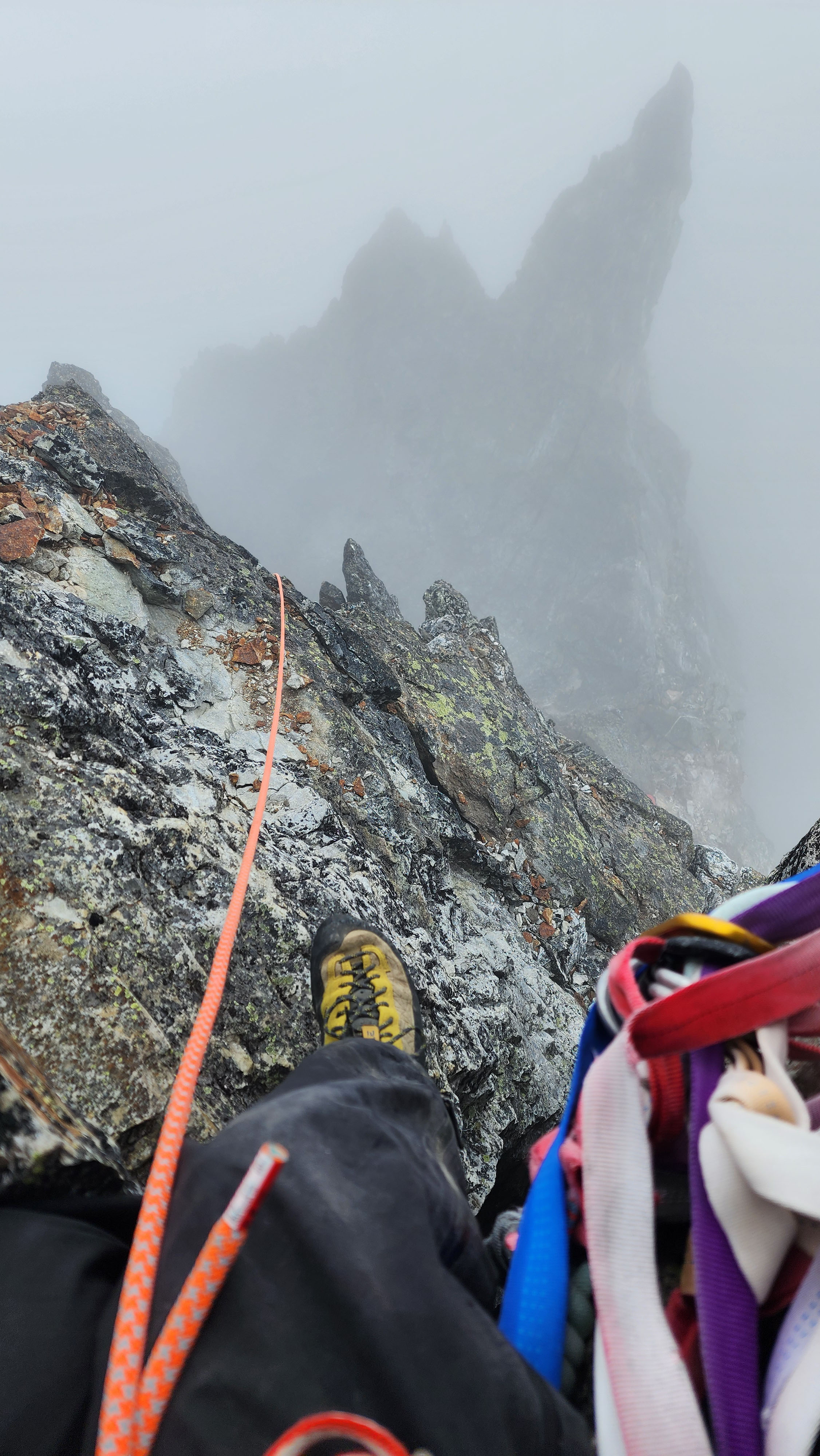
Sitting on the P1 anchor waiting for my partner to sort out the rope
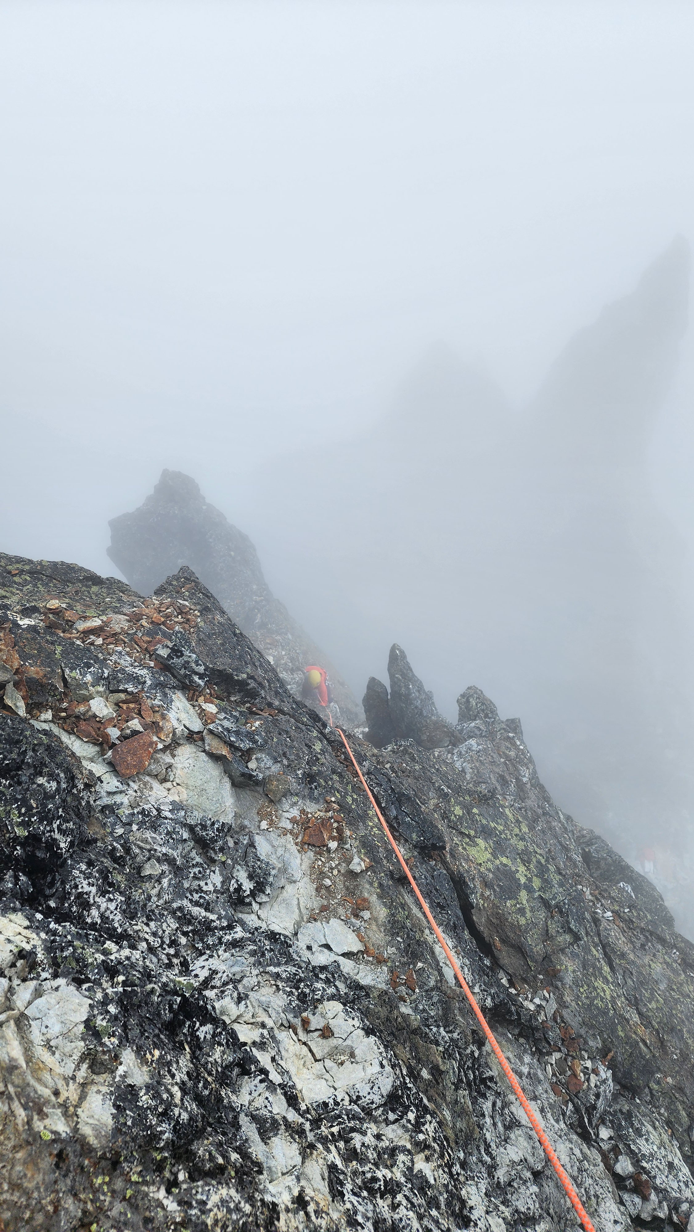
My partner coming up from the abyss
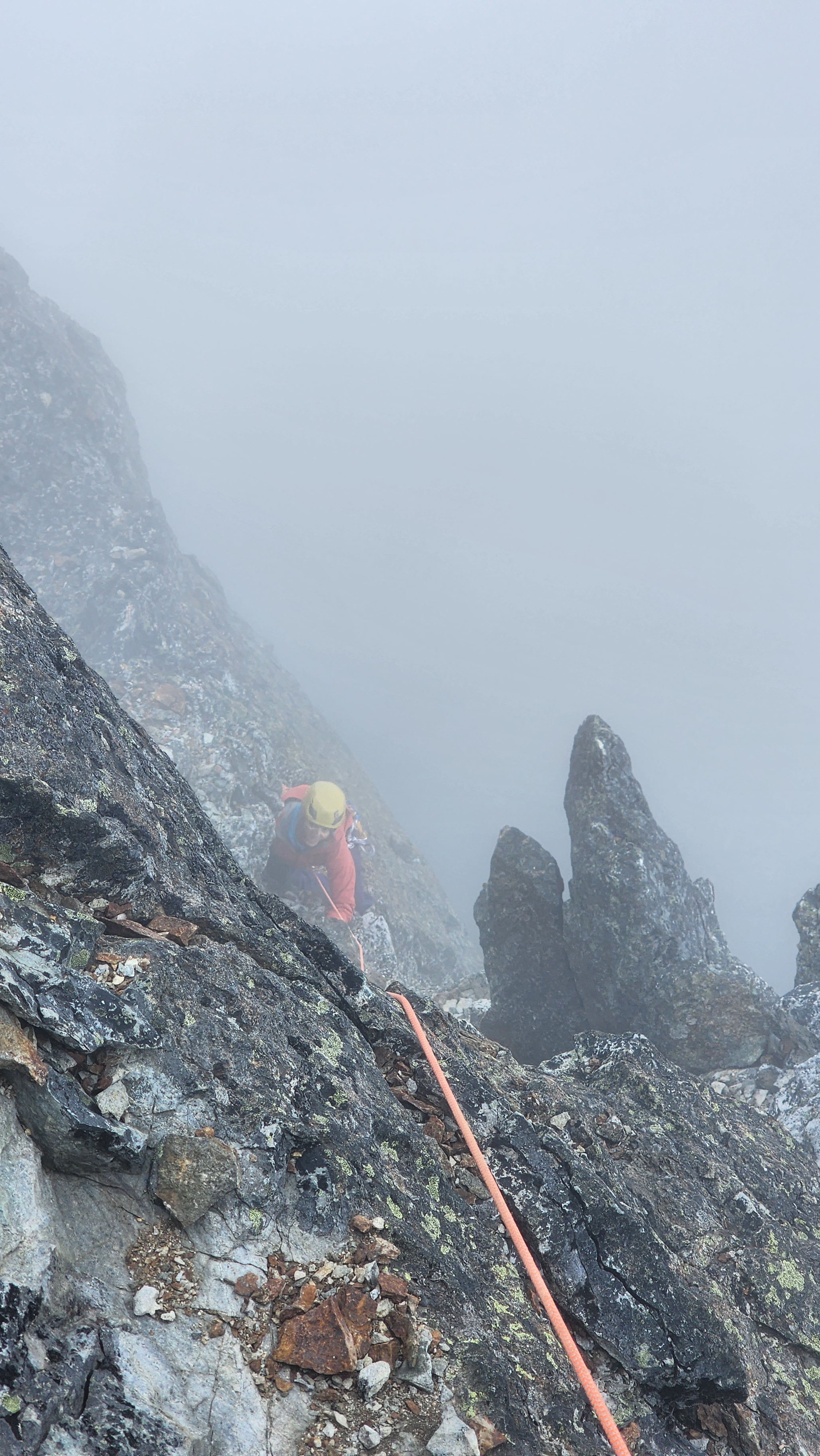
Face of joy
I led up the next pitch just using the anchor as pro for a while. I found a few placements, but it was difficult as the rock was much worse than the last pitch. Fortunetly, the climbing was much easier, being about 5.2 to 5.3 at max. There was an intermittent anchor which I used as pro, which was nice. Above that anchor, the route was just low 5th and I didn't really place anything. My peices were placed super weird and caused a lot of rope drag, which forced me to fight the rope. The pitch was so long I though I might of went the wrong way, but then I saw the anchor at the top.
I worked on bringing up my partner while I saw the other group celebrating on the summit just above. It took my partner a while to climb and clean the route, and by the time they made it, the other group was already rapping off the summit.
We unroped and walked across to where the group just rapped to, which was the start of the 3rd pitch. The final pitch of climbing looked easily free climbable to me, and the other group's lead said he climbed on rope with no pro. So, we packed away our rope and I led up as my partner followed behind. The pitch was no more than class 4, and we were on the summit in no time.
On the Summit of Hard Mox
I breathed a deap sigh of relief as I stepped onto the flat summit. I had a while to myself while I waited for my partner. I set my pack down and took some pictures. At this point, I could really feel the rain coming down; despite the 0% chance of percipitation, it was drizzling. My partner made it up regardless on the increasingly wet rock.

That's it. That's the summit.
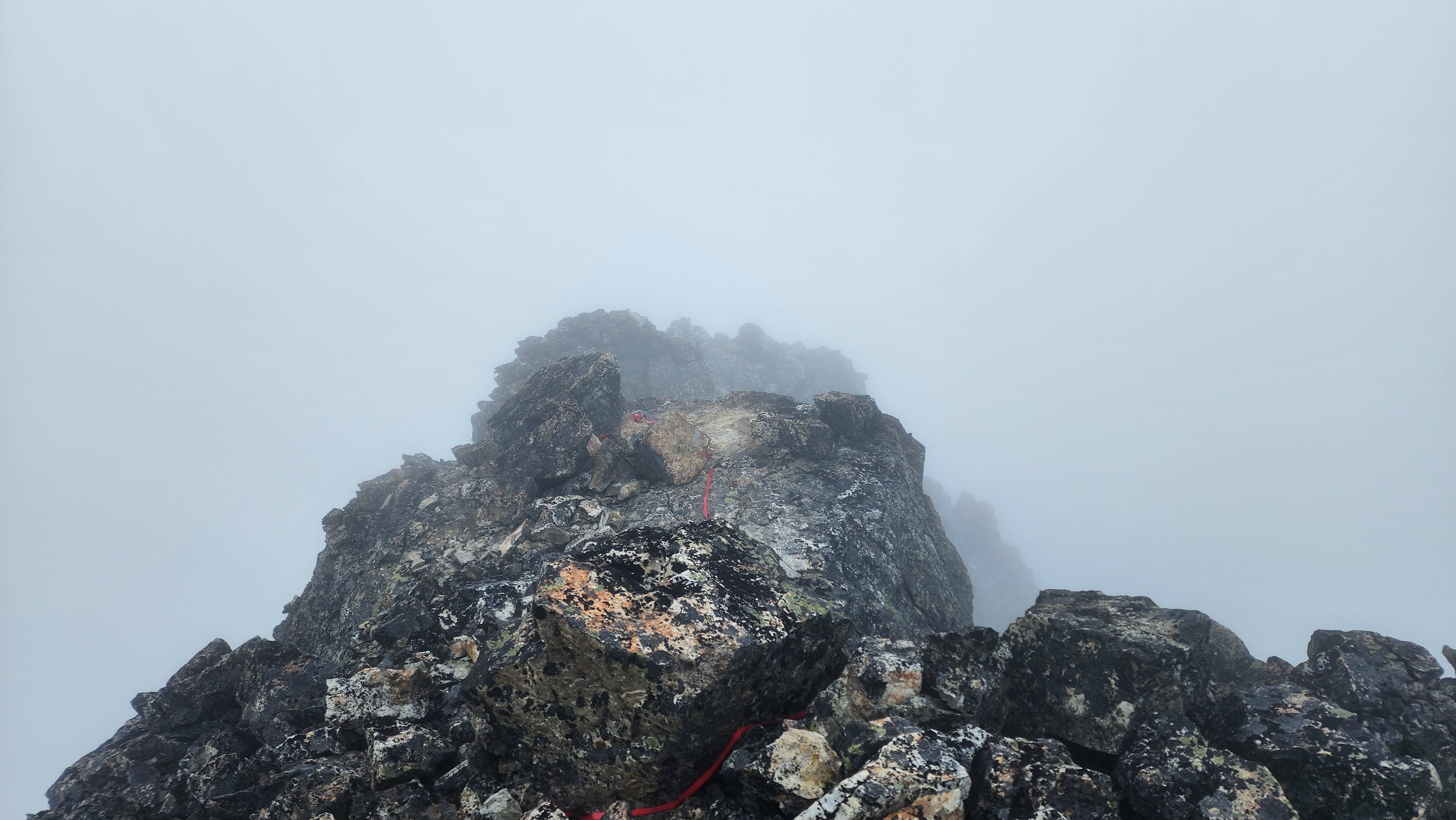
Looking back at where we climbed up
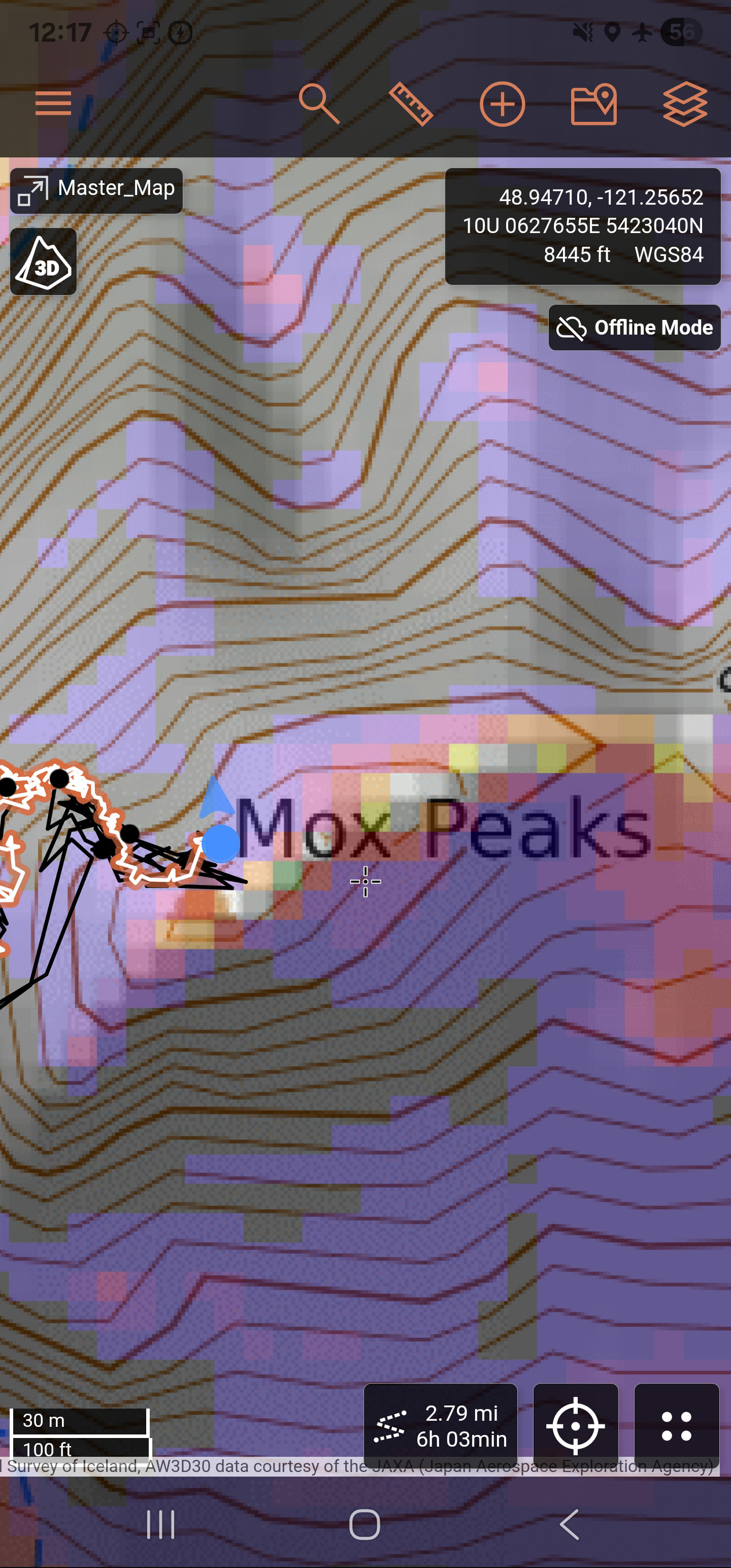
On the summit in 6 hours from camp, and 4 hours from the Col of the Wild
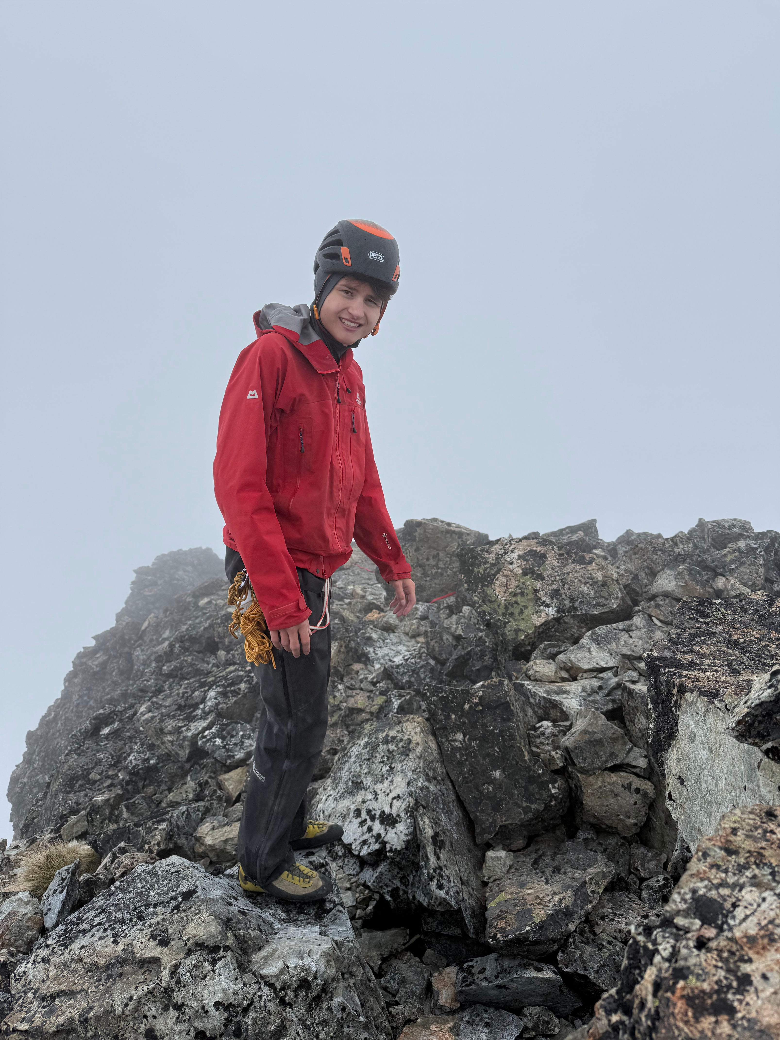
Quite the look
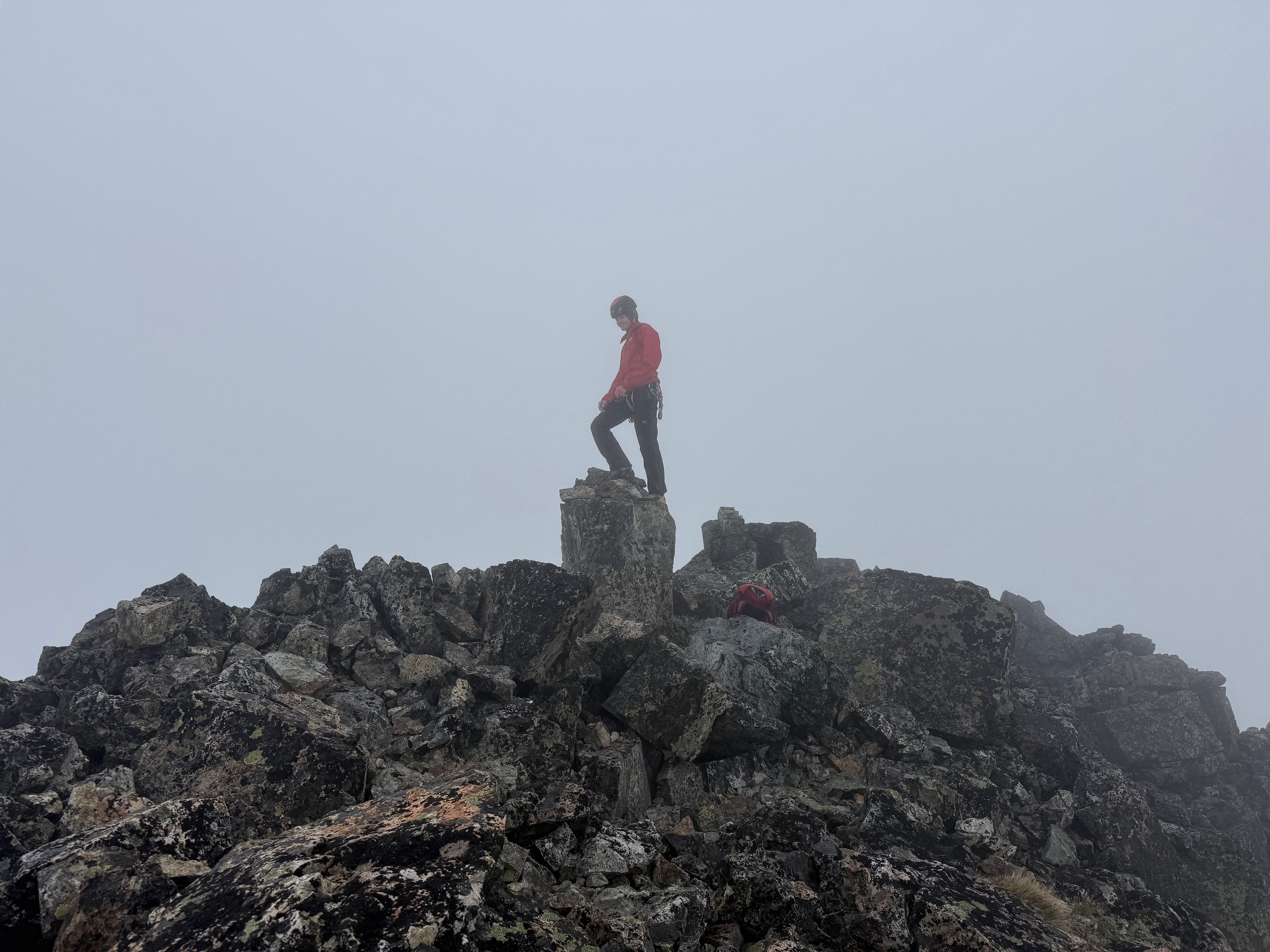
Standing on the summit rock
We spent quite a long time on the summit scrolling through the summit register. So many recognizable names in there. We added ours right after the other group. We felt silly with our low bulger counts of 57 and 37, most were 90+; seems like a lot save this one till the end.
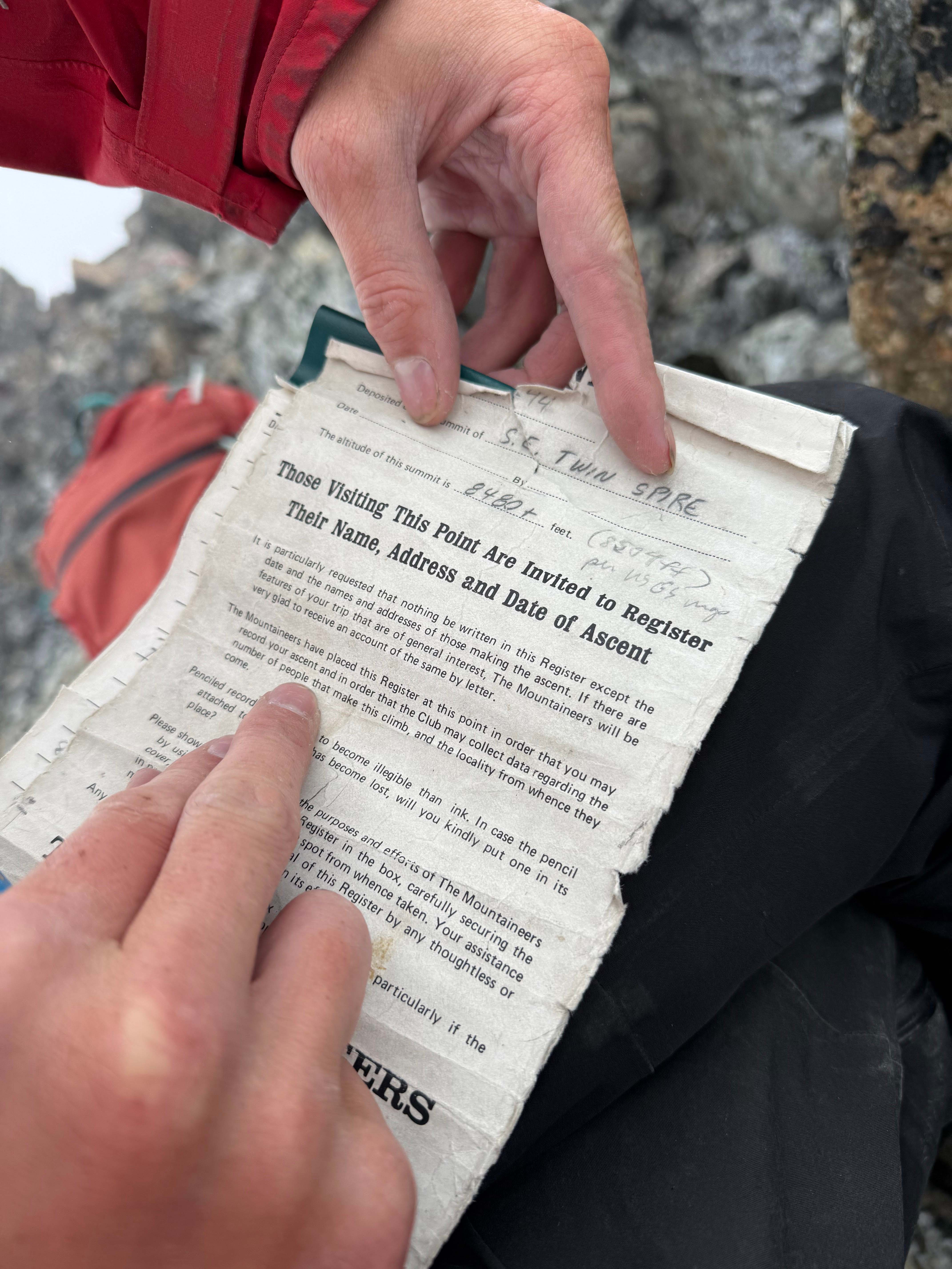
The SE Twin Spire, a place humans were probably not meant to be.

Hello Dave Orndorf
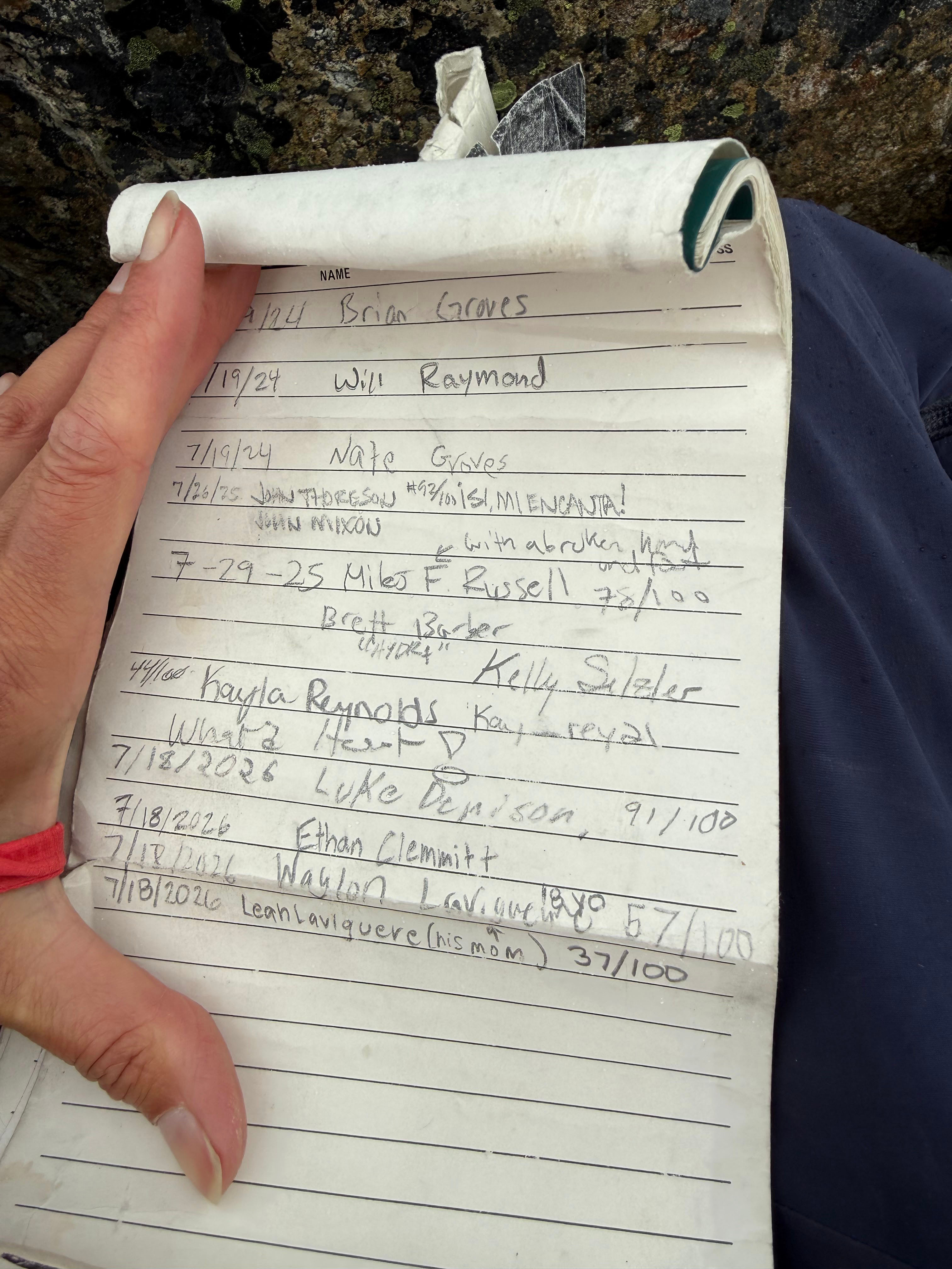
Our names now in the register
Descending Hard Mox
It was windy, raining, and a whiteout. We knew we needed to head out quickly, since we had no idea how wrong the forcast could be at that point. I set up a rappel off the summit block using the slightly questionable anchor. I rapped down first and my partner followed. However, when we tried to pull our rope, it didn't budge.

Me rapping down first
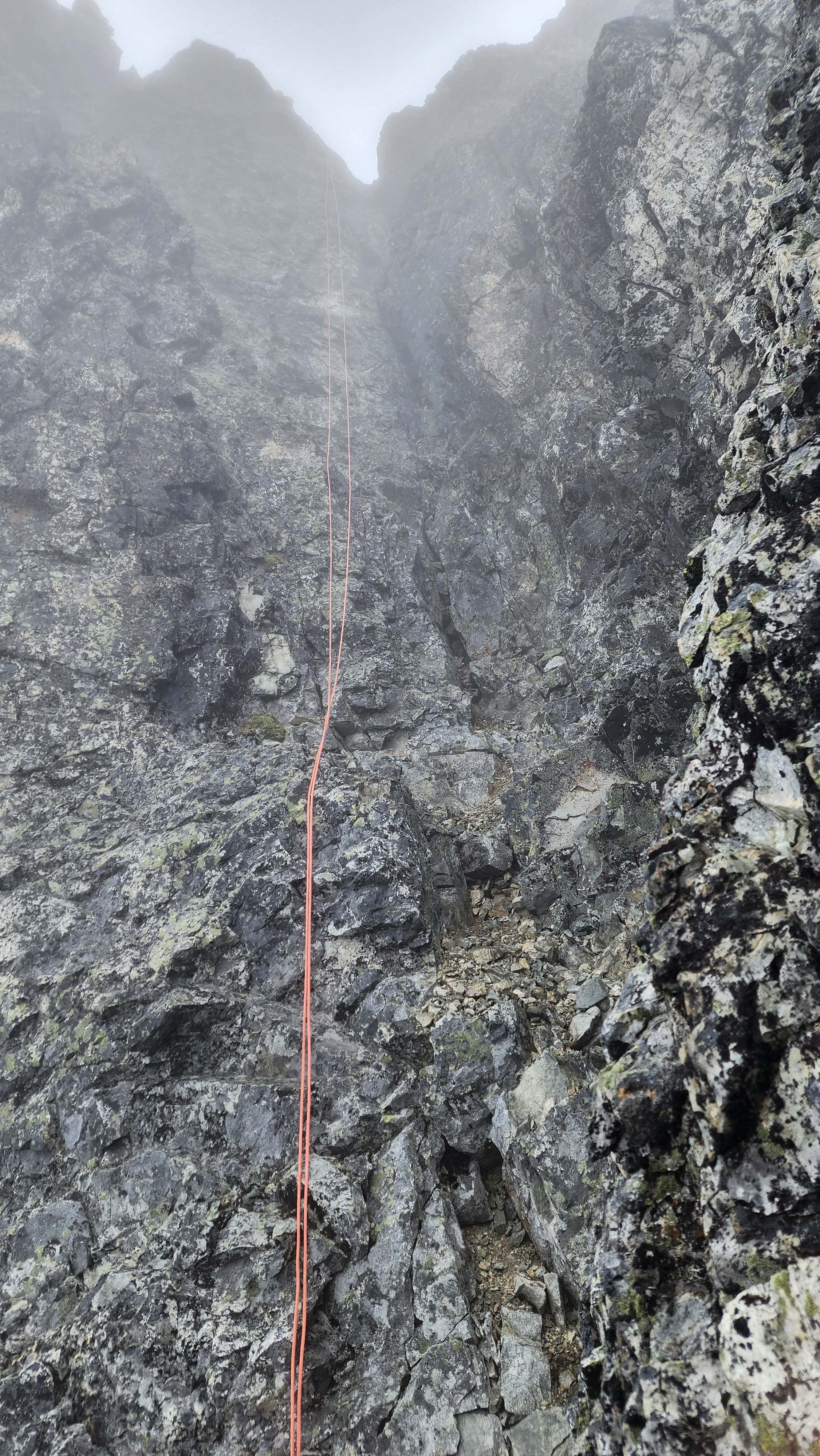
Our rope stuck
We tried our best to yang on the rope, but we had no luck. We couldn't tell what it was getting caught on, so my partner climbed back up to check it out. They got to the top again and saw nothing wrong. They rapped down again and tried to put the rope in a better spot. This didn't seem to help, but I realized I could get it moving by putting all my body weight on it.
I got a method down of jumping off a rock and using all my body weight to pull it down. Me and my partner swapped off pulling on it over about 10 minutes. We finally got it down after about 30 minutes of wasting time.
It was still raining, but everything suddenly got brighter. Soon after I saw the first glimpse of blue sky all day — this was a very good sign.
We used the next anchor to rap P2, which was a long rap but went smoothly.
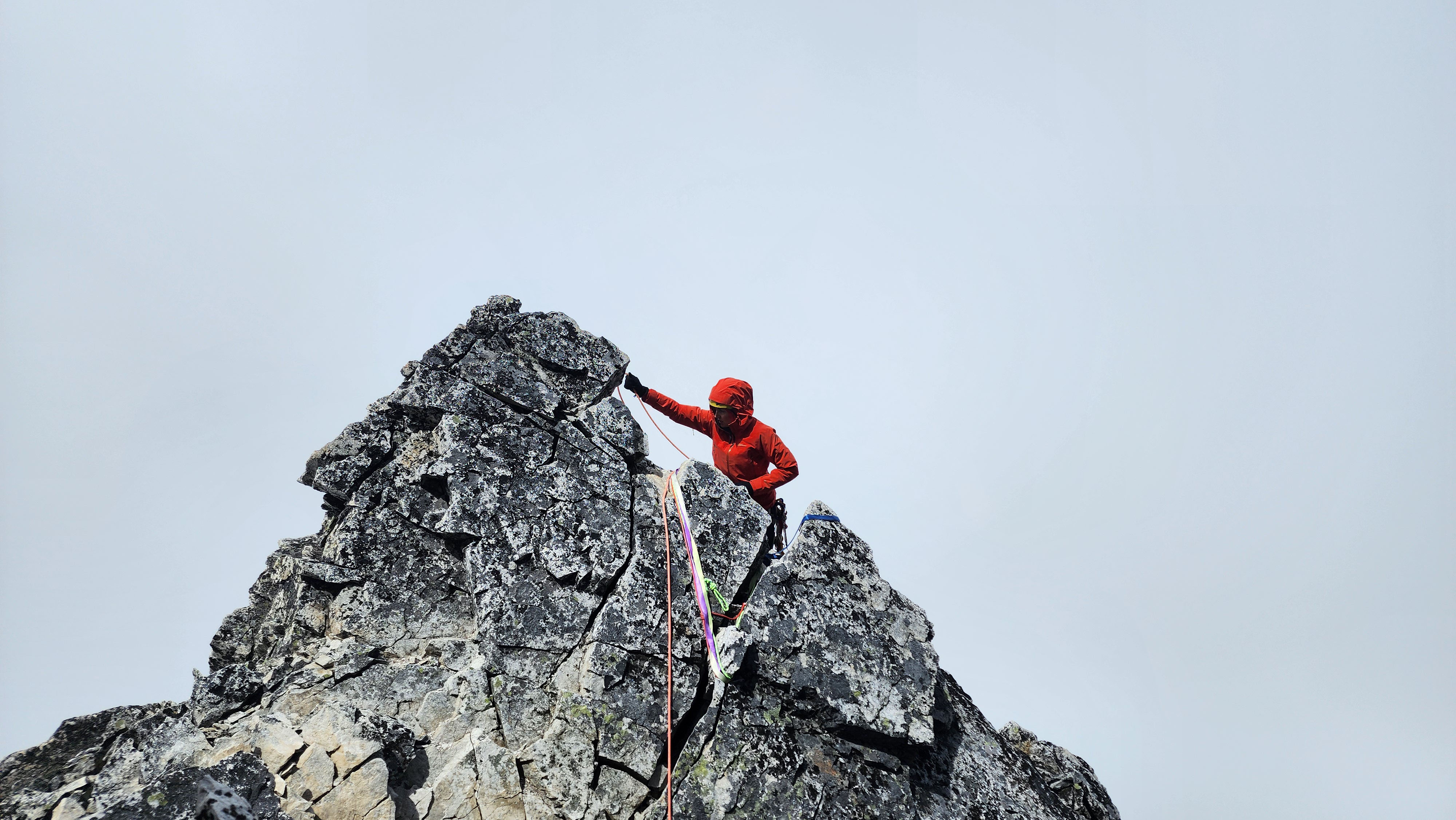
Working on the P2 rap
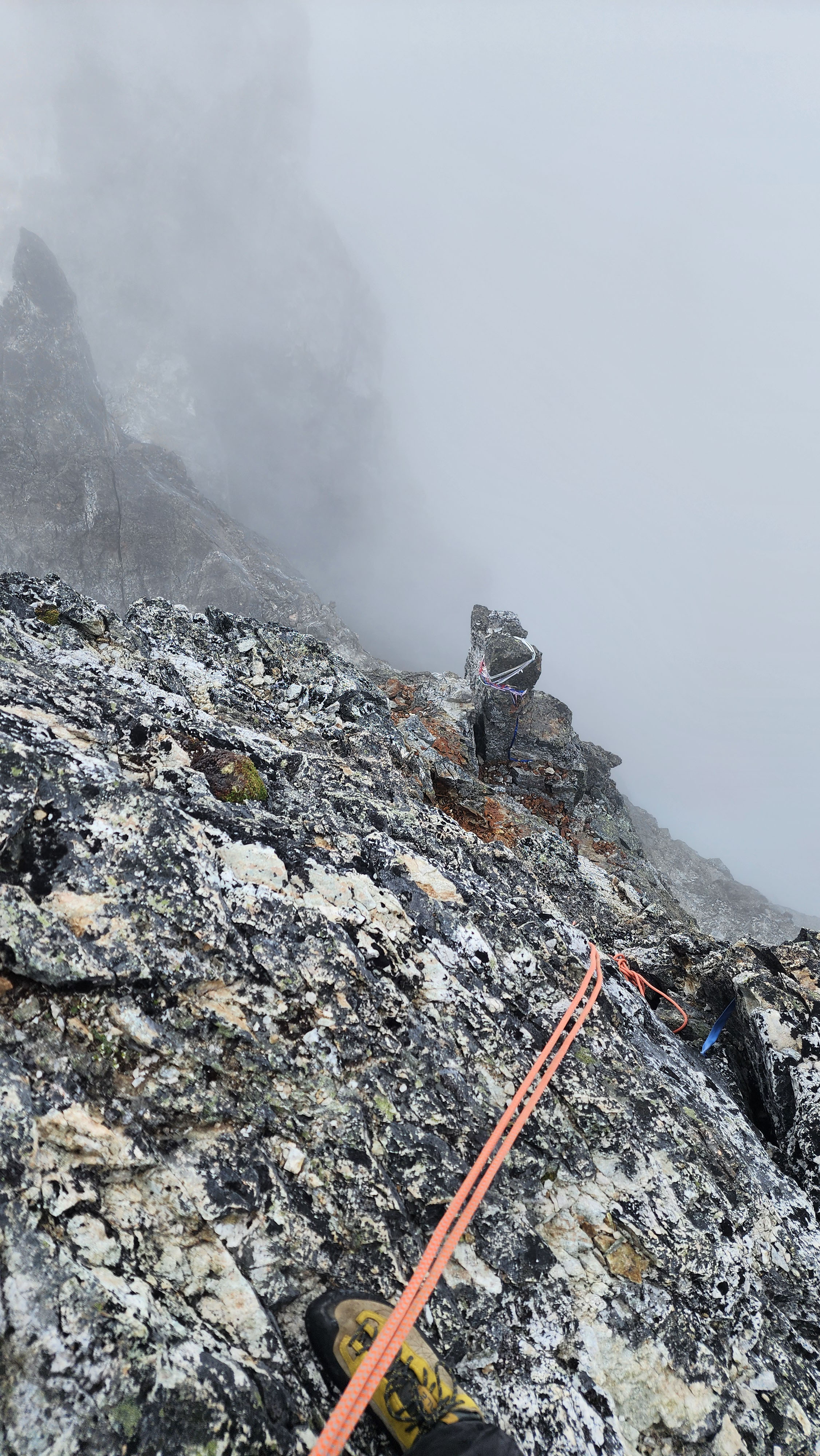
Me rapping down P2 first. The P1 anchor is below, and the intermediate anchor is just below my foot
I got a good rope pull and set up the final rap of P1. It went great and the rope pull was non problematic. Once at the ledge, the conditions changed fast and we got blue sky and the rain stopped.
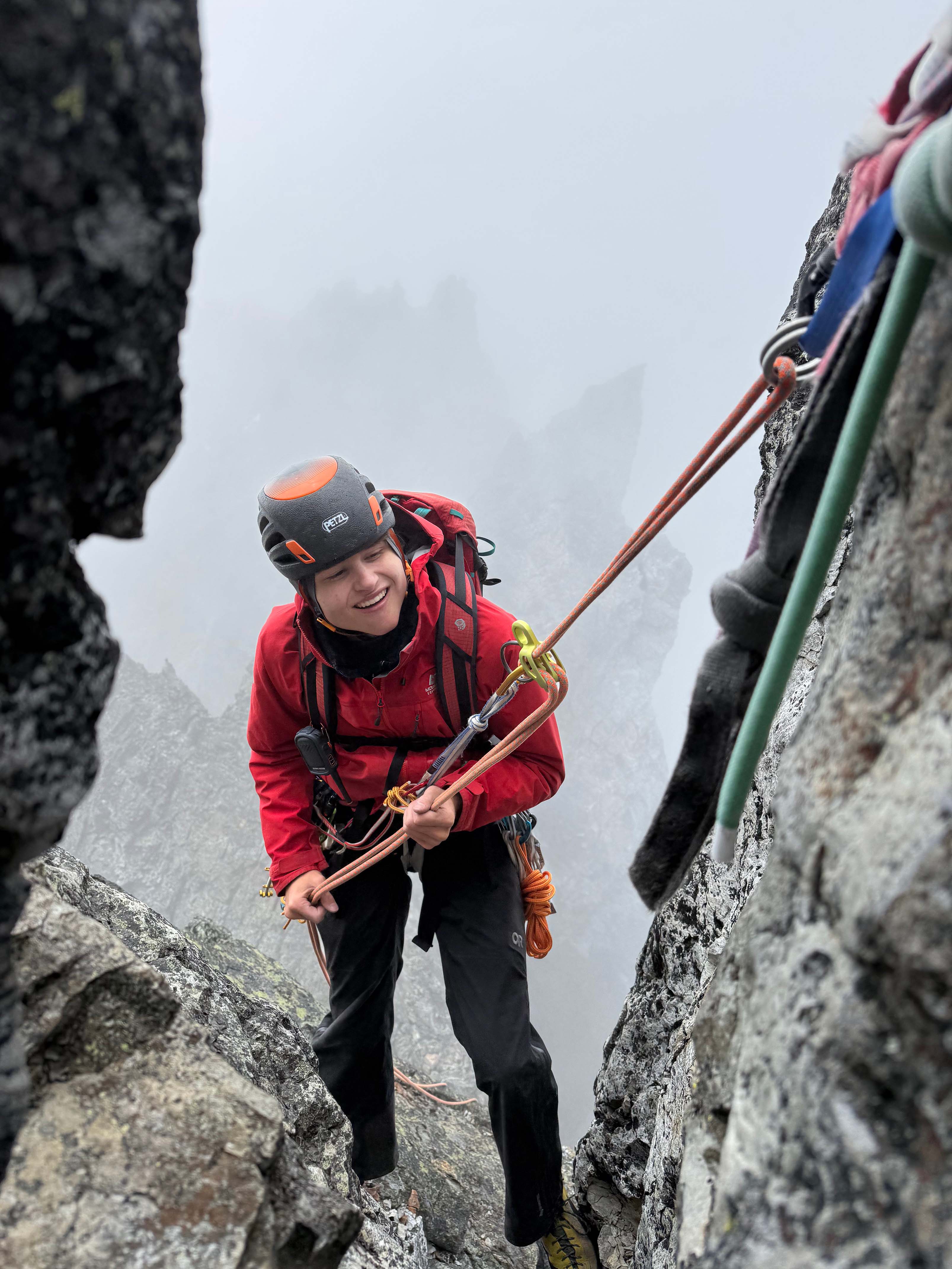
Probably overly happy to be rapping in the rain during a whiteout

At the base of the pitched climbing. Finally able to see Easy Mox to the right

From a whiteout and rain to blue skies in less than 5 minutes
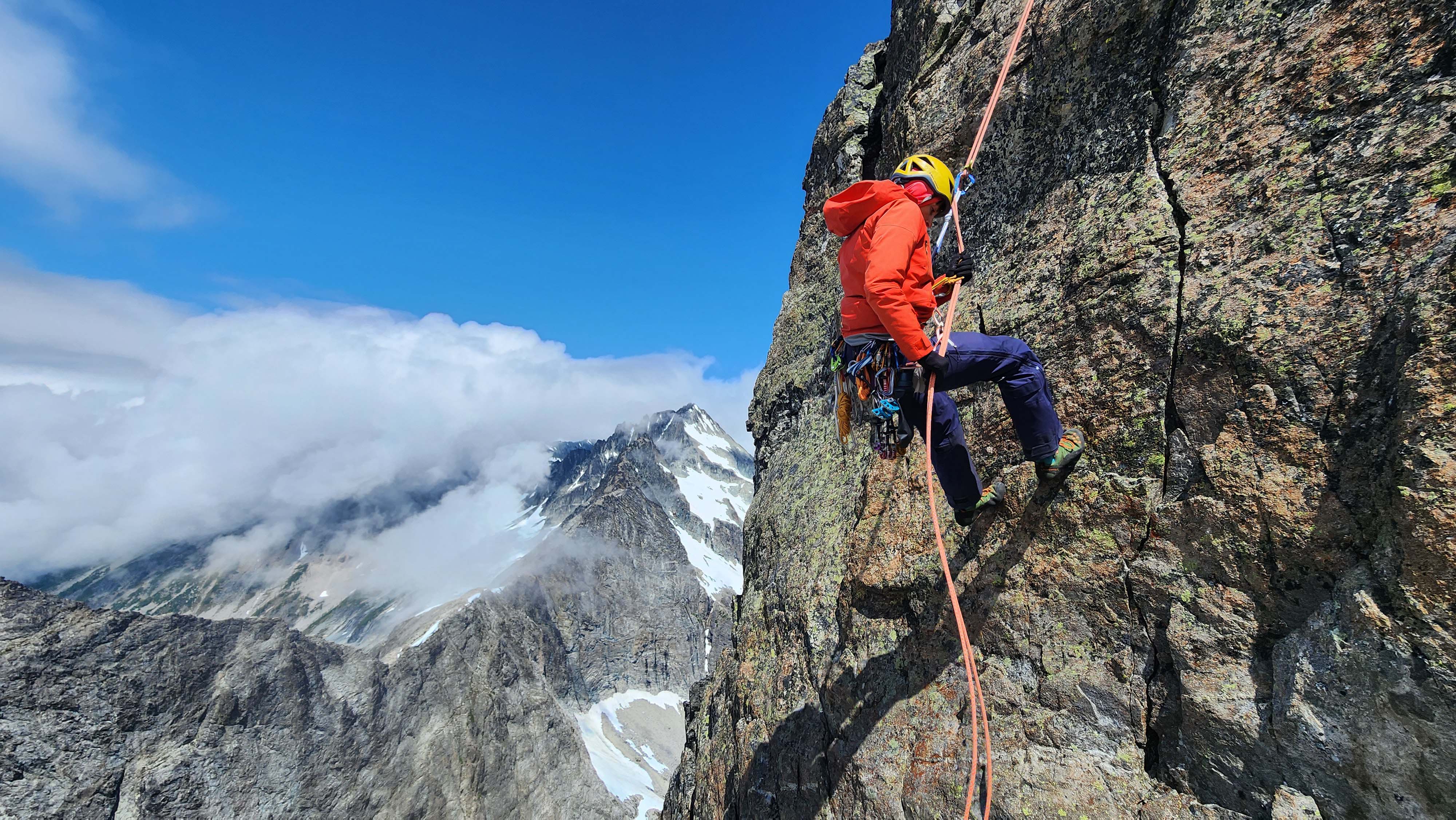
A beautiful rap
There were two more anchors at the ledge which we debated using. We opted to use the higher of the two; rapping seemed a lot safer than downclimbing.

Rapping the upper gully
While rapping, the rope caused a rock to come loose that forced me to jump out of the way to avoid; my quick reaction time saved me a lot of pain. That was the second time I had to jump out of the way of a rock on the climb. The rap got us a good ways down the upper gully, where we packed our rope and downclimbed the rest. We downclimbed the crux at the enterence to the upper gully, then spotted another anchor.
The anchor was on a detached piece of rock, but it looked fine enough; still seemed safer than downclimbing. We used it to rap down to another anchor we had spotted on the way up, which we used for our final rap.
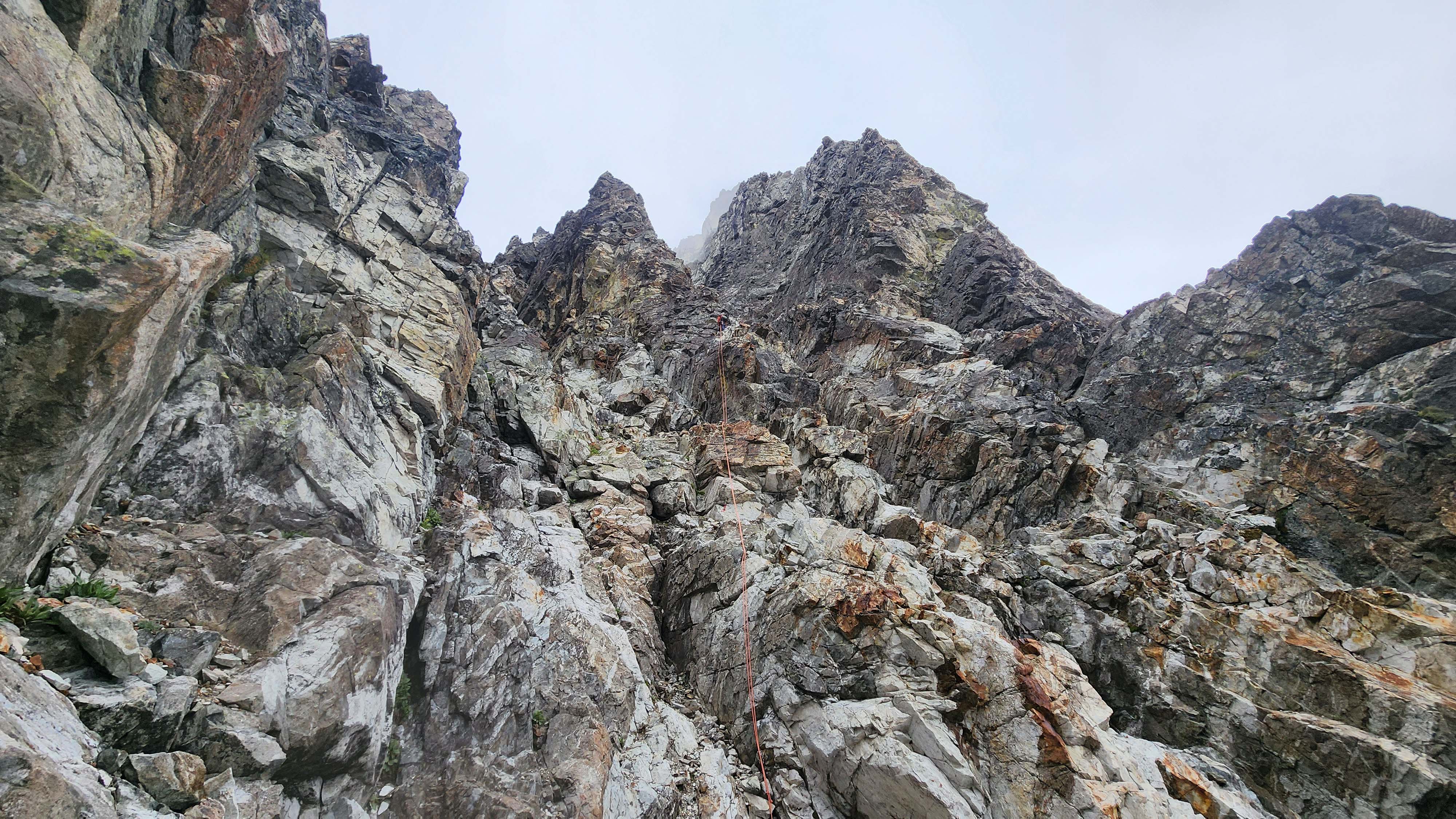
Rap 6 out of 6
We then downclimbed the rest of the way to the ledge with our snow tools. My partner went a more direct way and almost fell off a ledge, but caught themselves. Good thing they called "falling" while free climbing to scare me.
We heard the other group on the snow finger above hammering pickets. I had totally forgot that we should've brought our pickets for the finger ascent. Though I didn't want to use the finger anyways, so I opted to pack my boots and snow tools away and scramble up to the left of the snow finger.
I quickly hit a wall, but I saw a route around to the left. I climbed up it, and it went just fine. It was like low 5th, but it was short so it wasn't bad with the near lethal exposure. I actually think this route was way better than the finger; especially if you pitch it out, in which case it would be way safer than pitching the snow finger.

Scrambling around the finger. I climbed up the wall above and a little to the left of me
I then traversed out right back towards the sketchy ledge. I ran back into one of the members from the group; we had somehow caught up to them. It seems they accidentally climbed the entire finger, and were rapping down to the correct spot.
While his partner was rapping down, I tried to radio to my partner on how I got up. I think they went the right way, but they said it was too sketch for them to free solo. Hence, I built an anchor where I was at and rap walked down closer to them. However, it was so far away that I couldn't get the rope to them. After lots of debate, we settled on them just climbing the snow finger.
They put back on boots, pons, and pulled out their axe. They were at the top of the scramble, which was about 25 metres from the snow finger rap anchor. After a few attempts, I got a beautiful rope throw all the way down the finger to them. They tied in and I threw them on belay. A short snow climb later and we were together again.
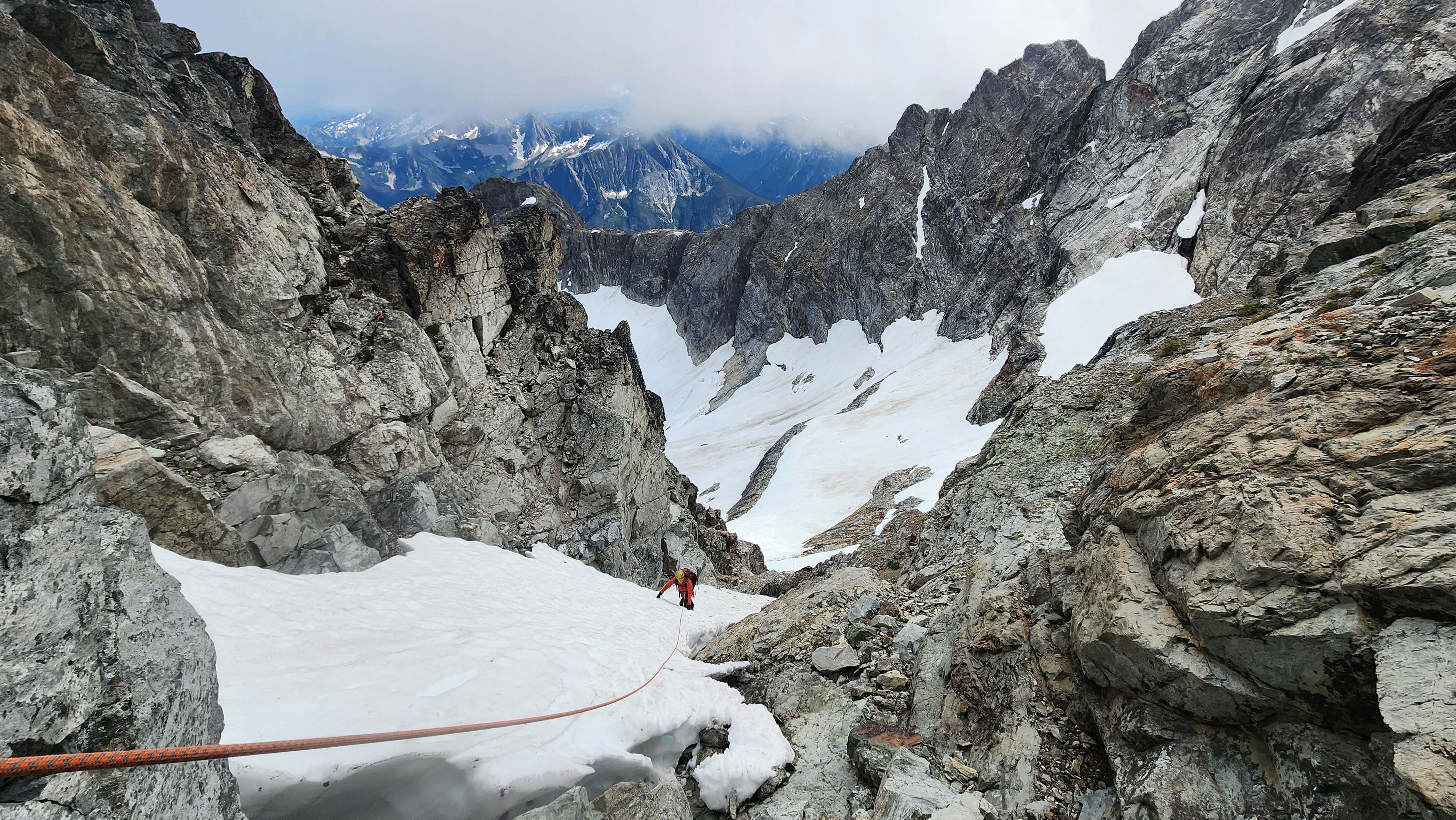
My partner on belay climbing the snow finger
Even with all the fuss, me climbing around the finger still saved us a lot of time. If my partner followed me, we would've passed the other group, but it wasn't a race — we had plenty of time and conditions were improving.
We packed our rope and headed back out the way we came in. The sketchy traverse was no less sketchy than before, but everything after it was easy.
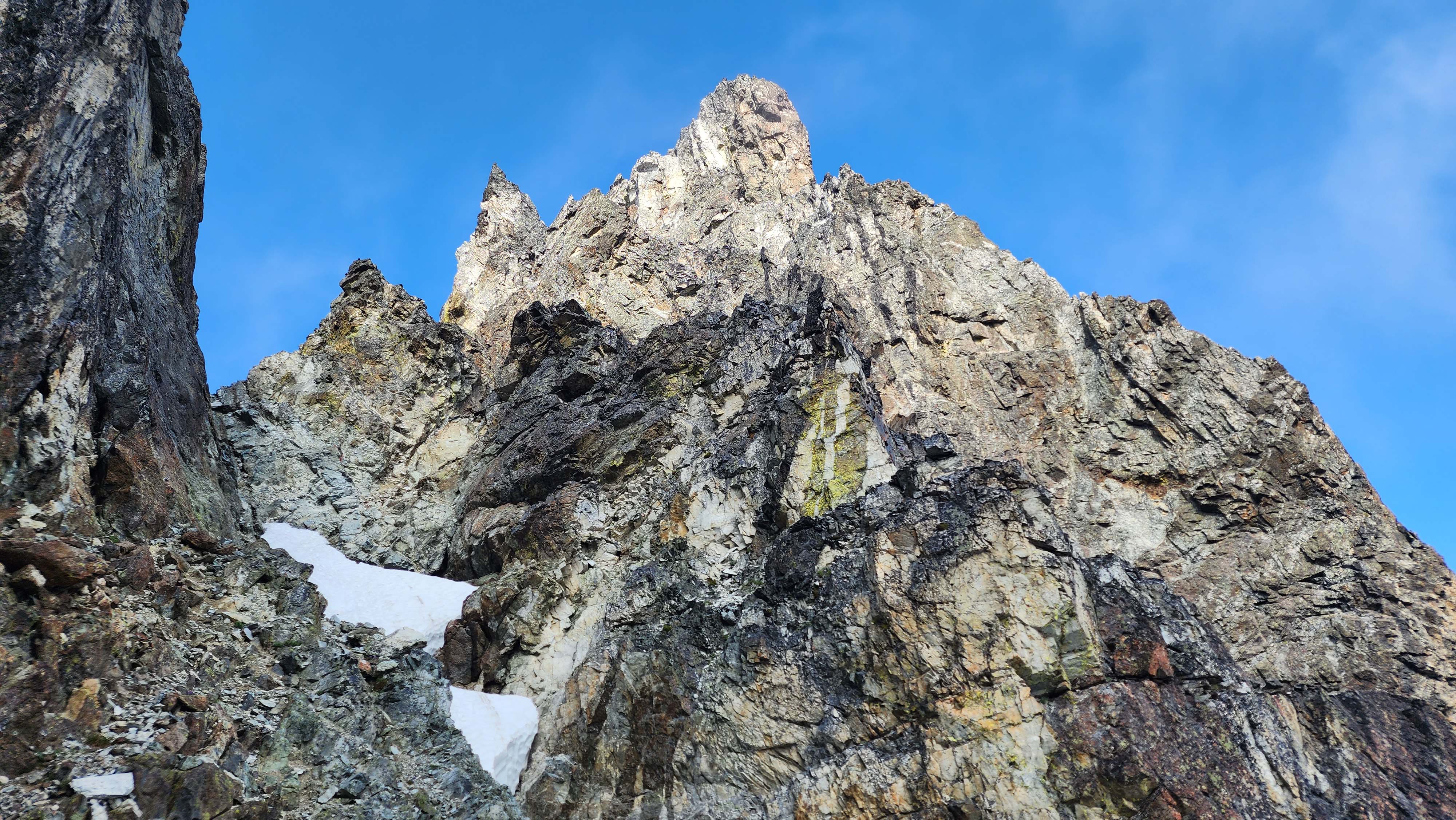
We could actually see the peak now
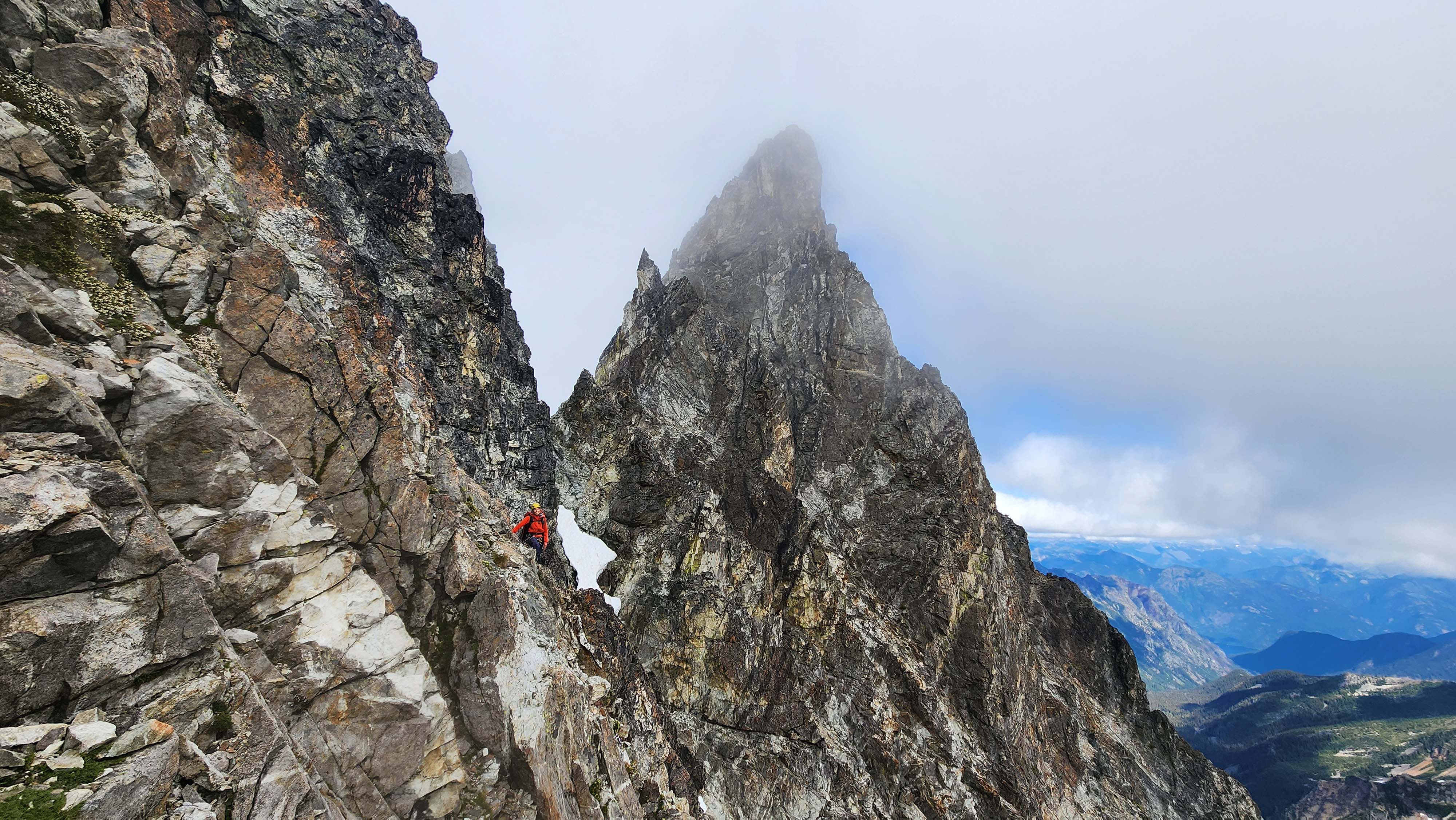
We climbed that, apparently.
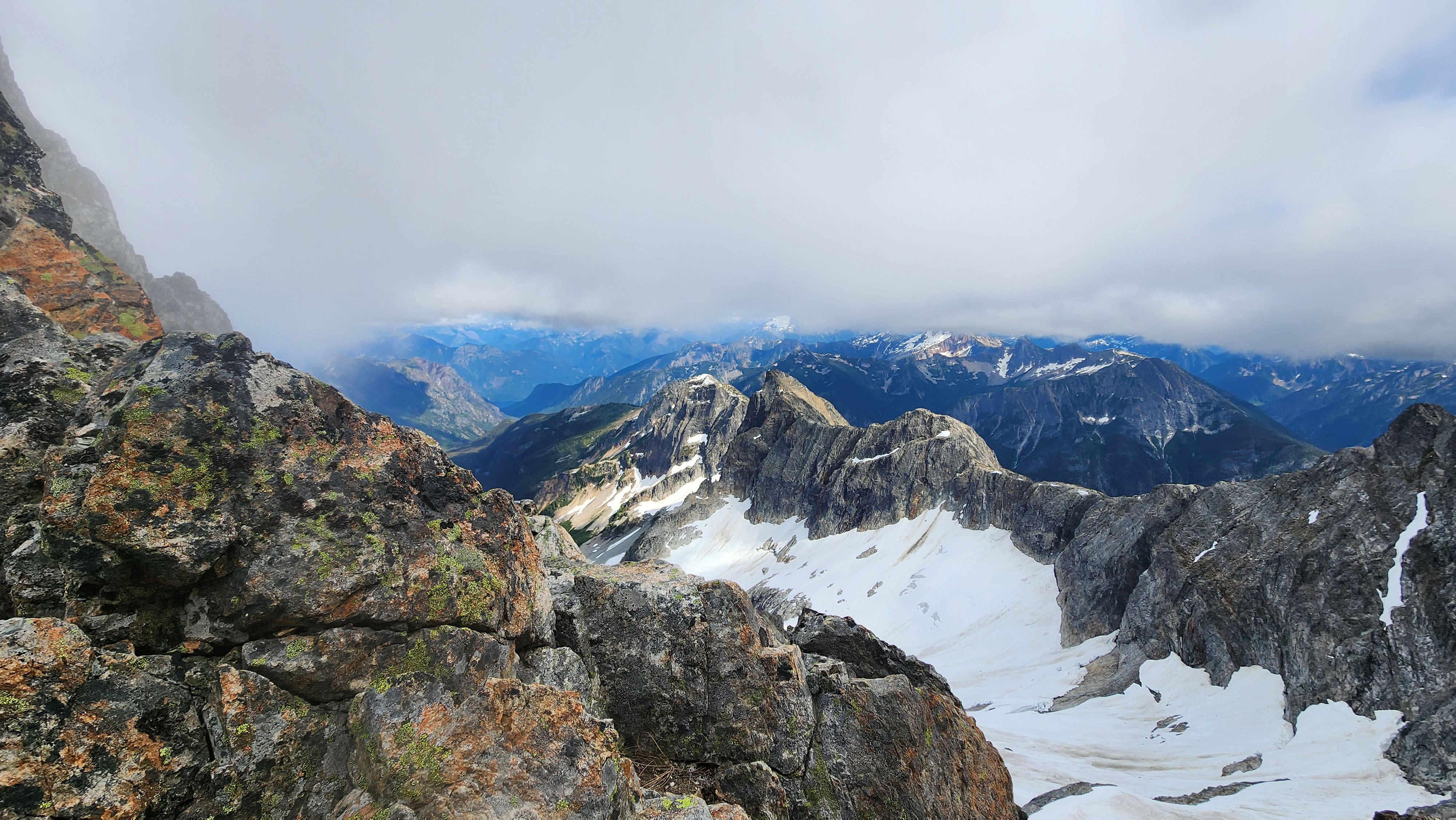
Great views now
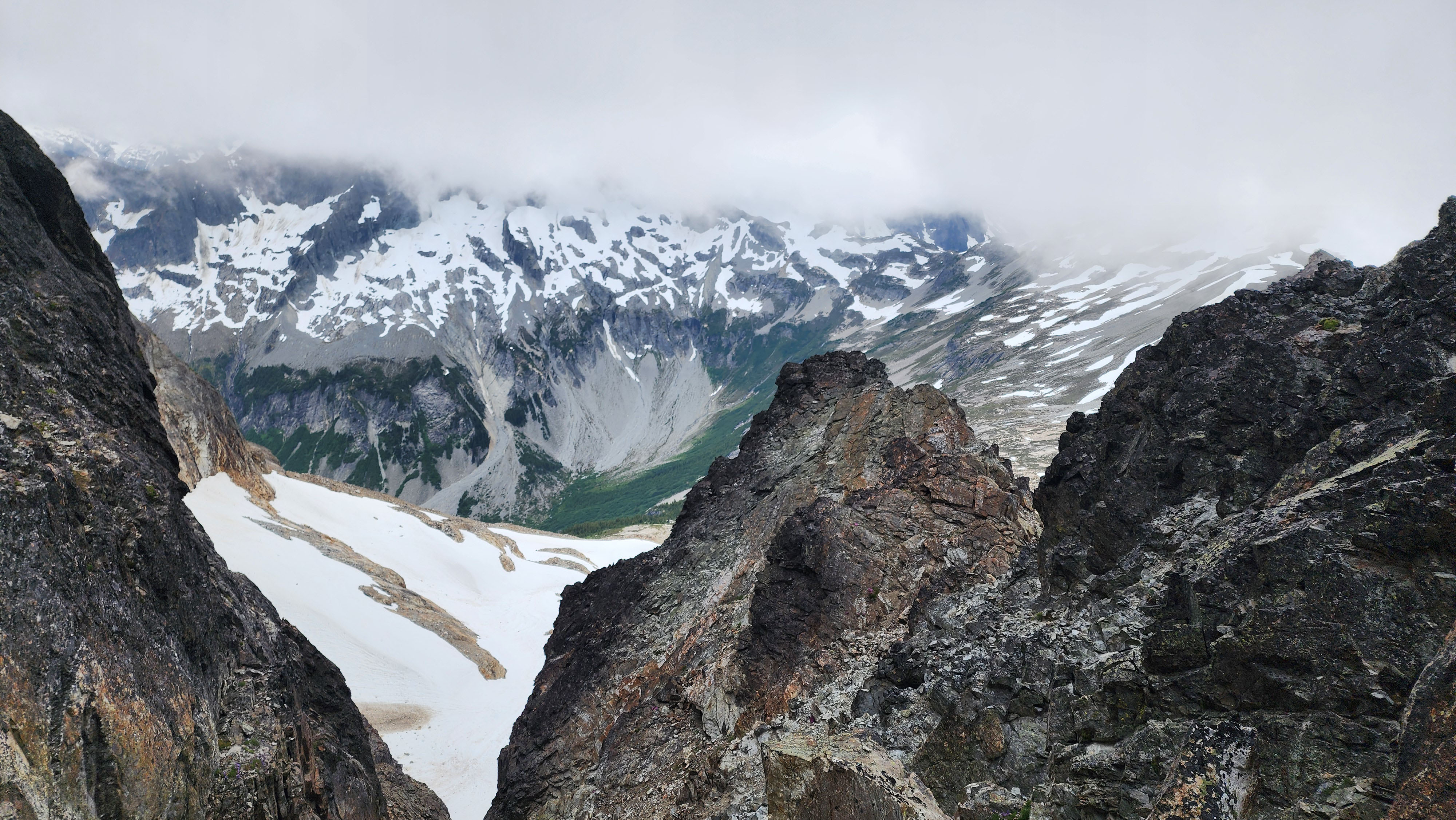
In the gully, so close to being back to the Col of the Wild
Day 2 Finale
We stepped off onto the Col of the Wild, 9 hours since we left it (yes, it took us 1 hour longer to go down than up). We had successfully ascended and descended the 7th hardest peak in the state. I knew we had it in us, but it was amazing knowing we had finally done it. This was my hardest ascent to date, easily beating out the other 3 ascents I considered to be hardest before: Jack Mtn, Sherpa West Ridge, and Snowfield in April on skis. Though once I was done, I didn't really feel it was all that bad.
We had already decided doing Easy Mox the same day was way too much, plus we didn't have enough time anyways. So, we planned on heading back to camp.
At the col before heading down, I switched back to boots and headed down the trashy scree. It was way better than going up, and I was plunging down the snow soon after.
We had been radio-ing our long-lost partner throughout the climb, so we knew where they were. We spotted them on the way down and they came over to join us in our descent. They said they also had pitiful conditions all day, and had slept most the time.
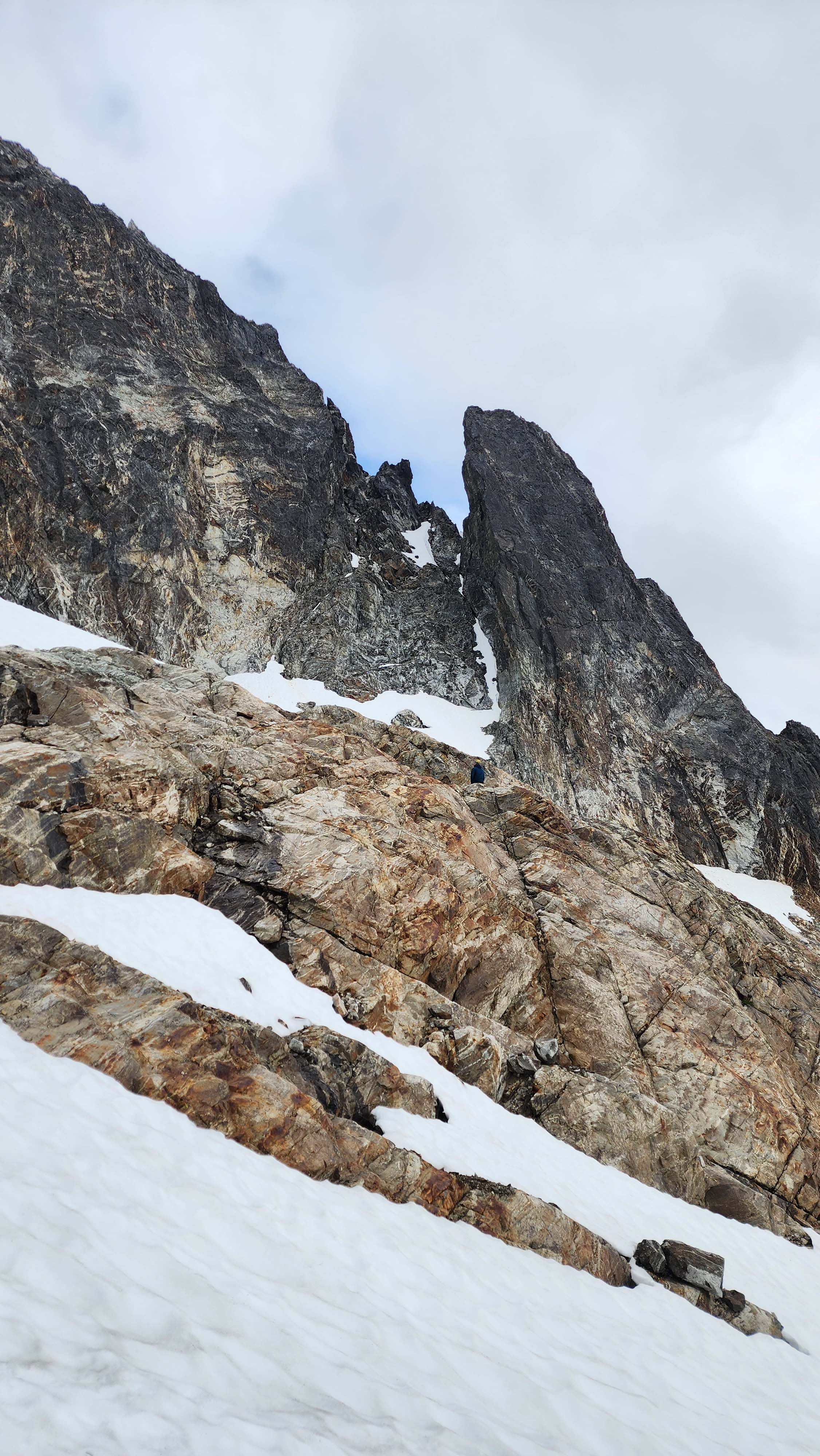
Our long-lost partner up in their hiding spot on slabby rocks
We opted to use the low traverse again, despite seeing the other group take the high route again. We dropped down and traversed just under the other group. We then ascended back up to the saddle where our pickets were, only about 10 minutes behind the other group.
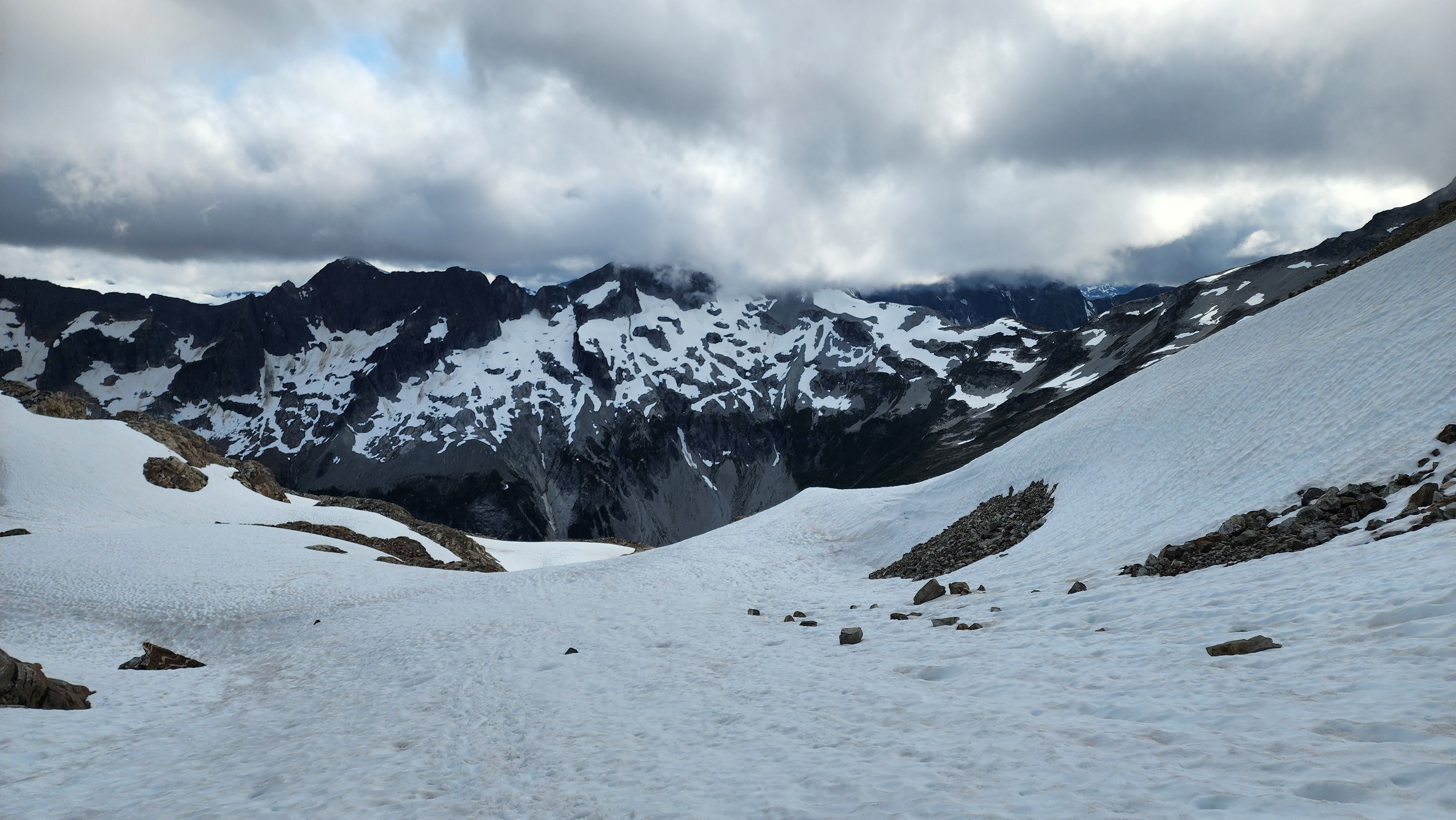
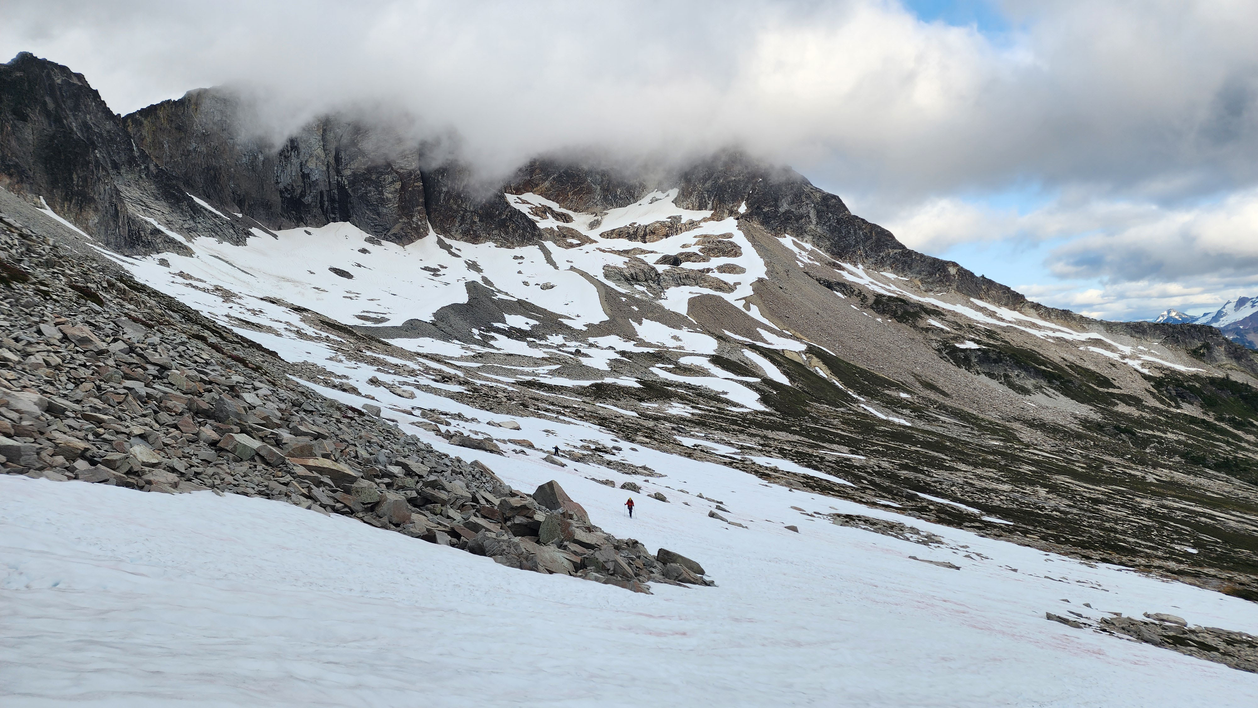
Headed down the snow to the low traverse
Happy to be back to flowing water and meadows
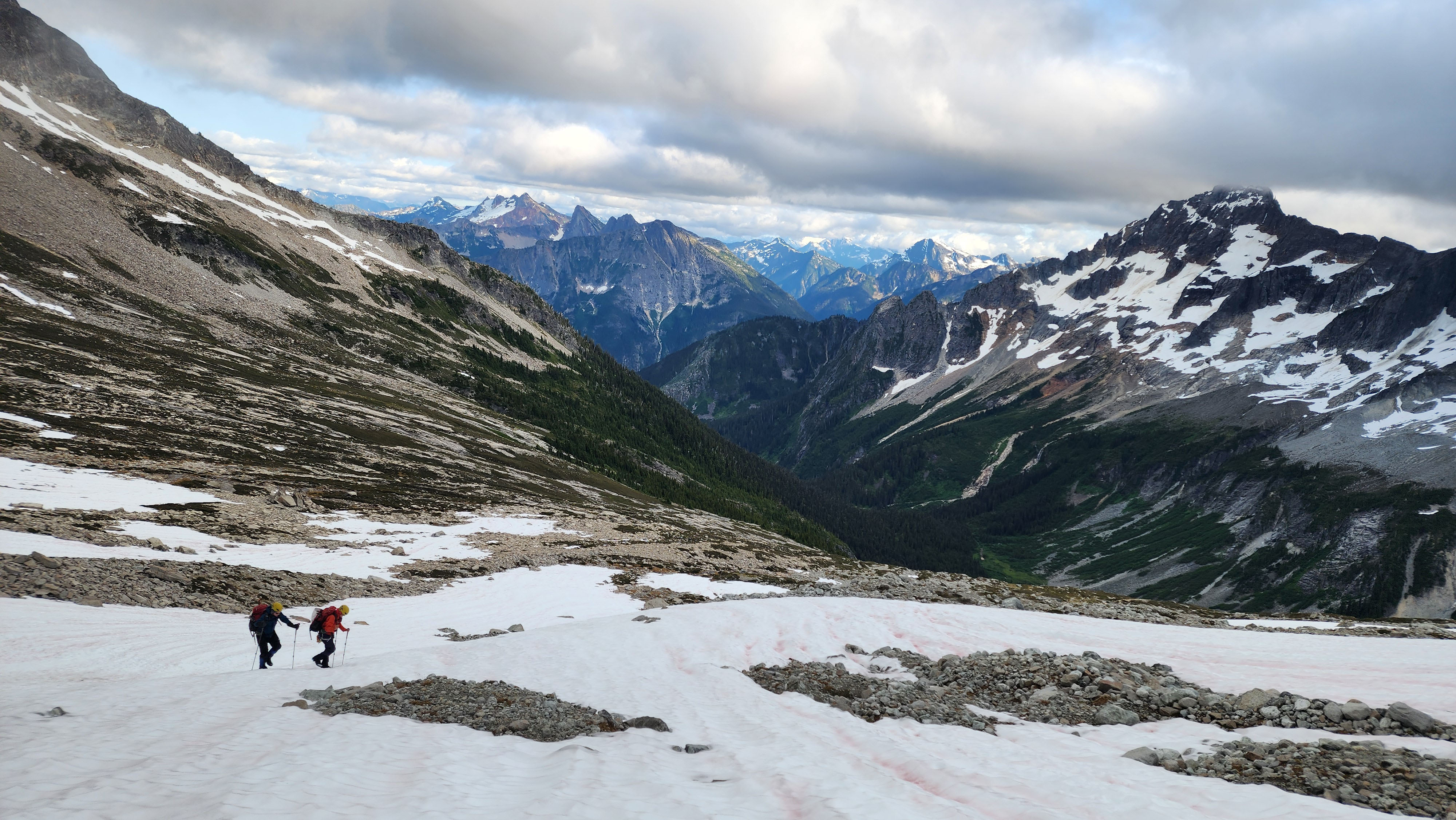
Traversing snow
Slogging back to the saddle
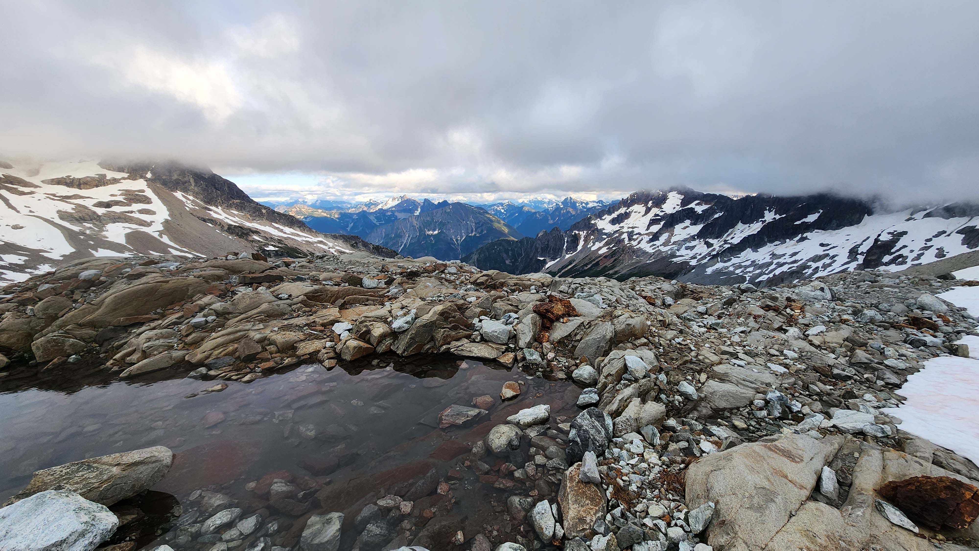
Back at the tarn by our pickets
We opted to not rope up to get back to camp, since it was clear there wasn't even really glacier on route anymore — we could clearly see the moat where the glacier ended. We only had to do about 50 steps on the glacier to get to camp; crazy how fast it's melting.
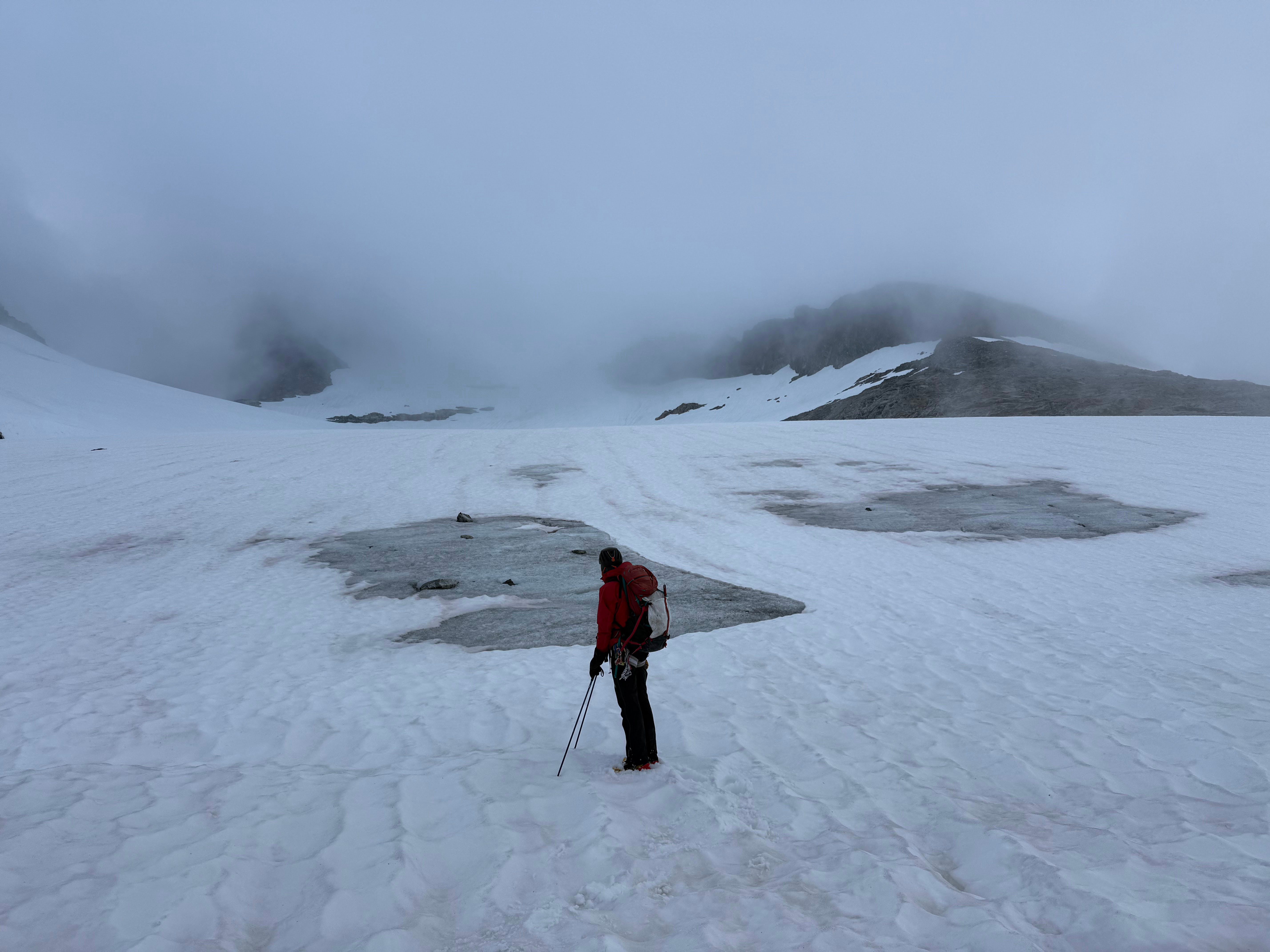
Me standing on the moat marking the base of the glacier
My timer read just over 13 hours by the time we made it back to camp, at 19:16. I found my airpods case which I had lost the night before, which had melted out from under the snow. We enjoyed our time at camp, still in a whiteout, before heading to sleep before 21.
Day 3
We awoke on our third day at 5:30 to blue bird skies — it seemed the weather was finally going to give us a break. We were planning on doing Redoubt, so we left our rack and rock shoes at camp.
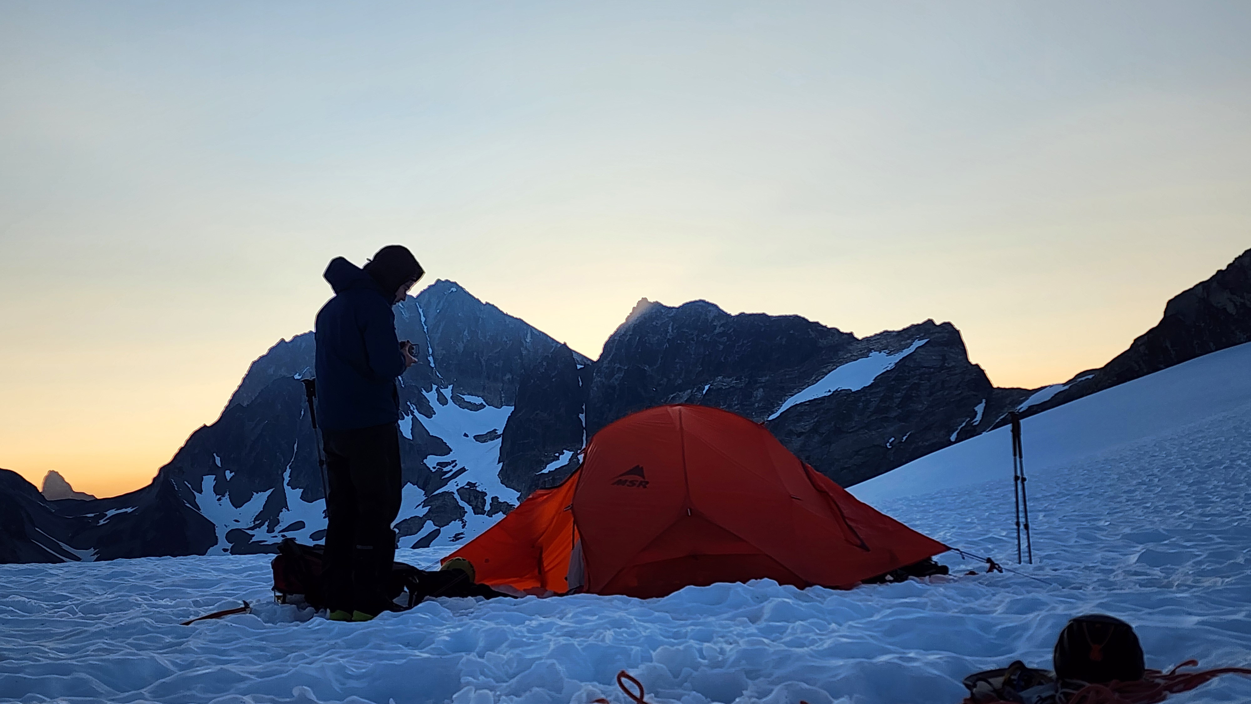
A beautiful morning
We started towards Redoubt around 6:40. We roped up at camp and walked up the Redoubt Glacier.
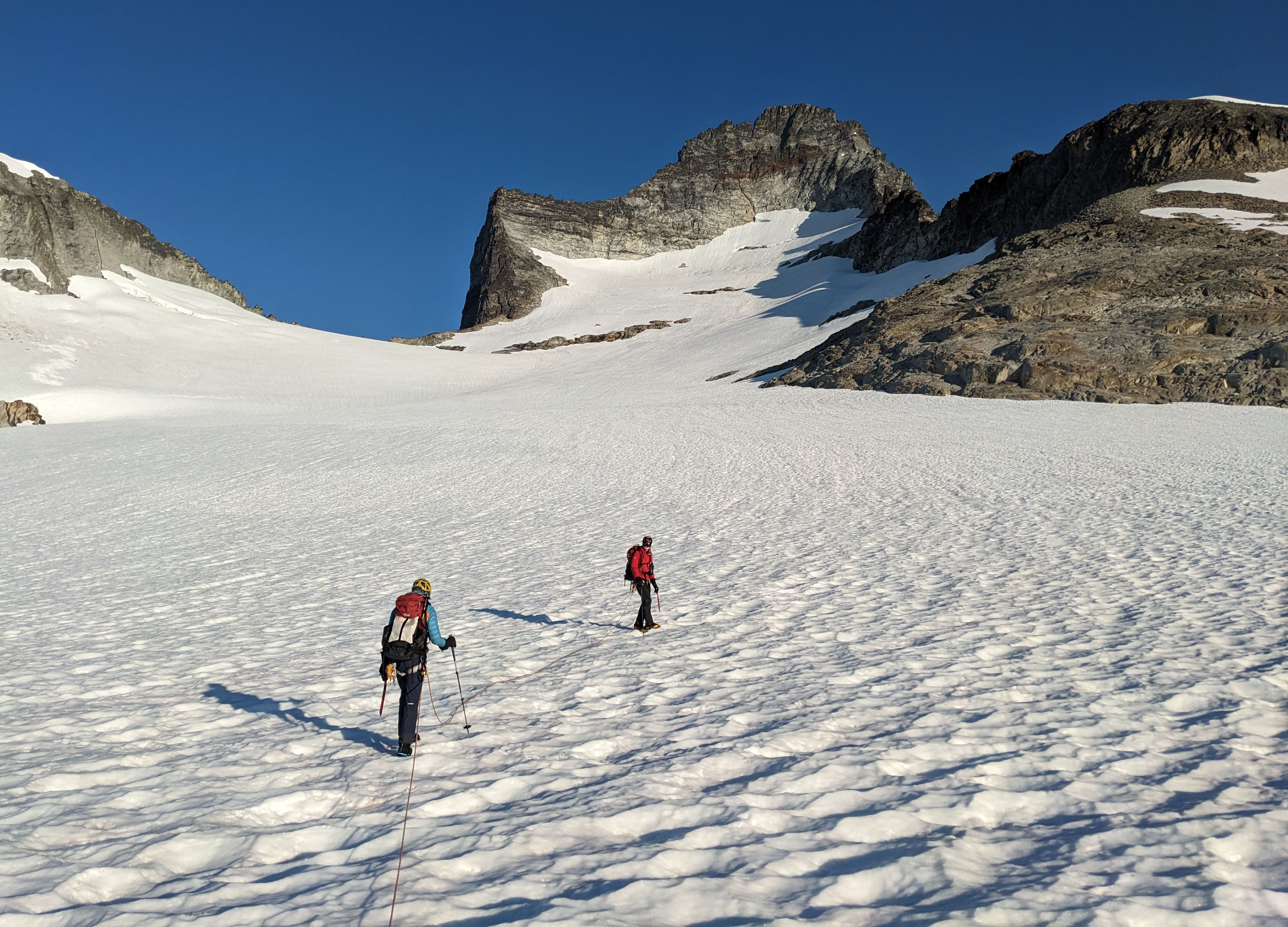
Headed up the Redoubt Glacier
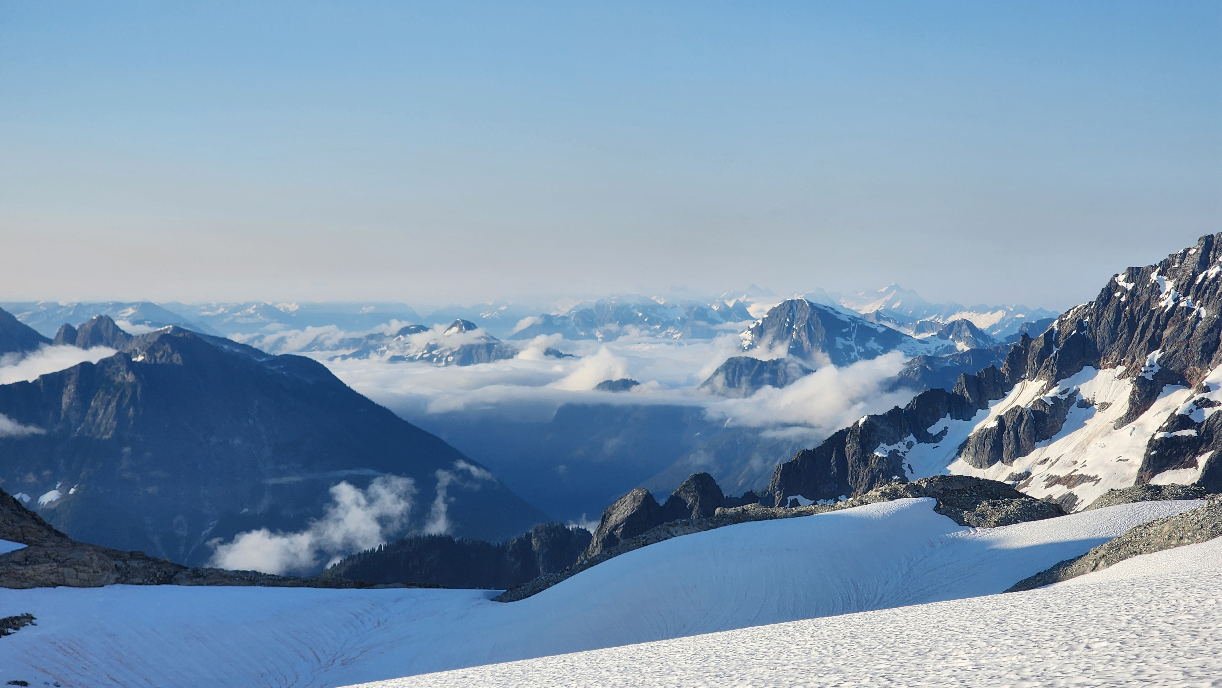
Looking over at the saddle to Hard Mox
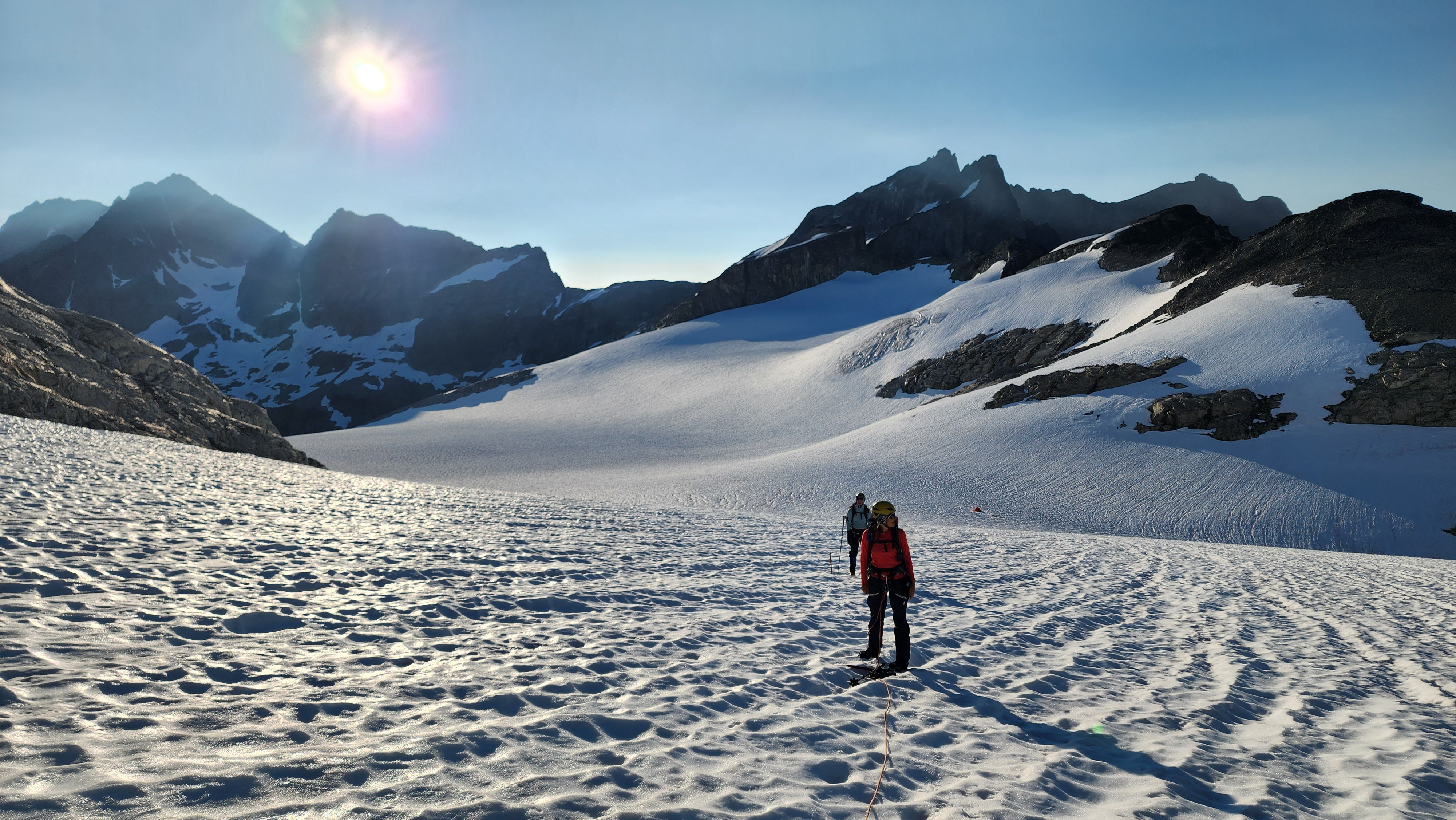
The glacier was very flat
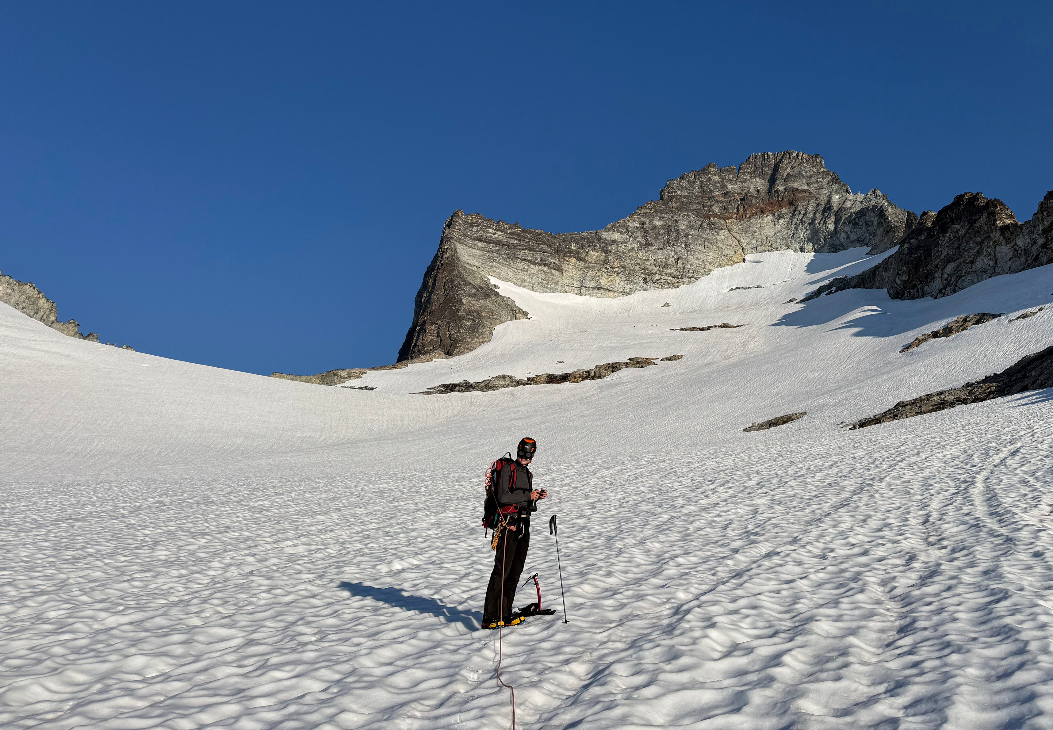
The first time since the first day it was warm enough to take off my jacket
We arrived at the edge of the glacier, and walked around the snow pit to get to the rock saddle. I found a good spot to climb up the rock saddle, which I leaded up. I was too lazy to take off my pons, but on the other side, there was about 200' vert down of rock, so I should've taken them off; I relayed that information to my group.
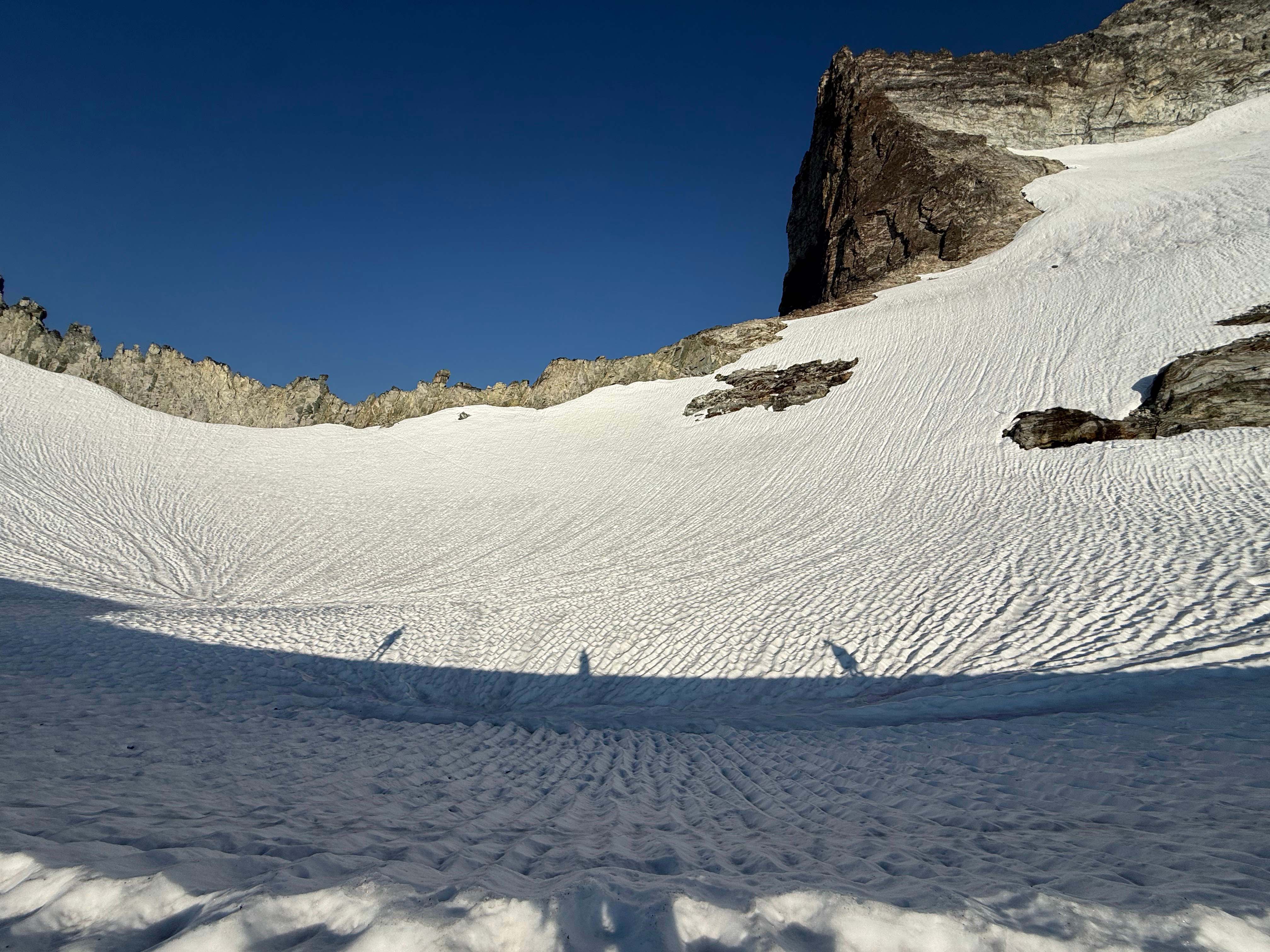
On the edge of the glacier looking over at the rocky ridge
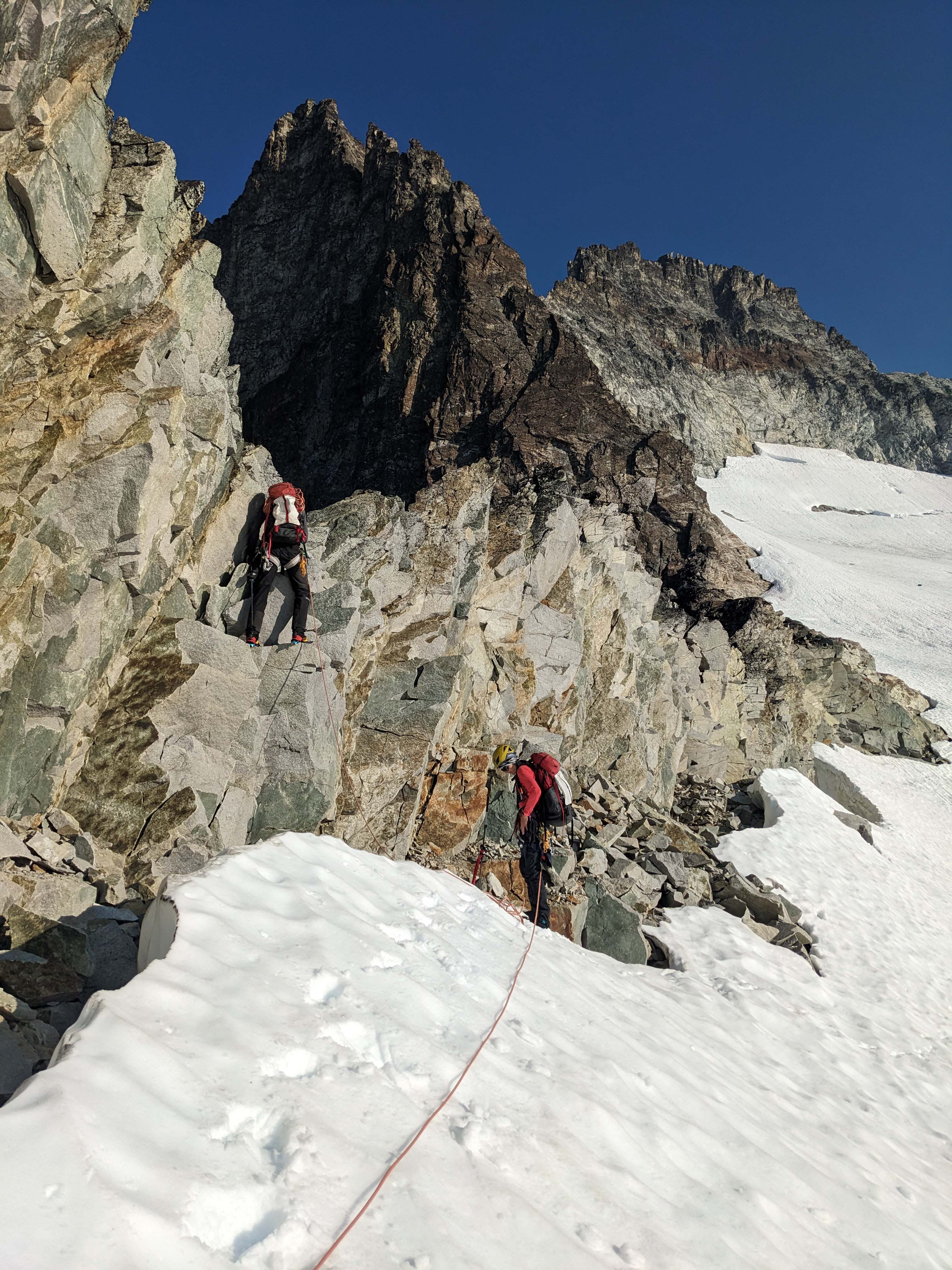
Me leading up the short rock section
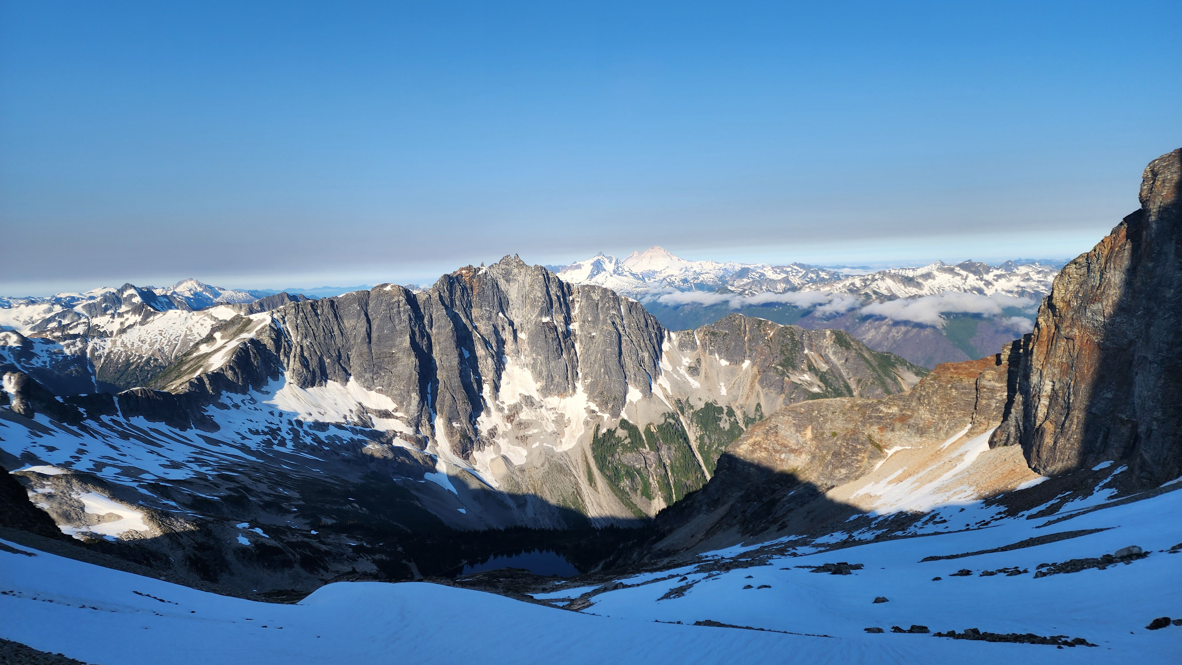
Looking at (another) Bear Mountain from the saddle
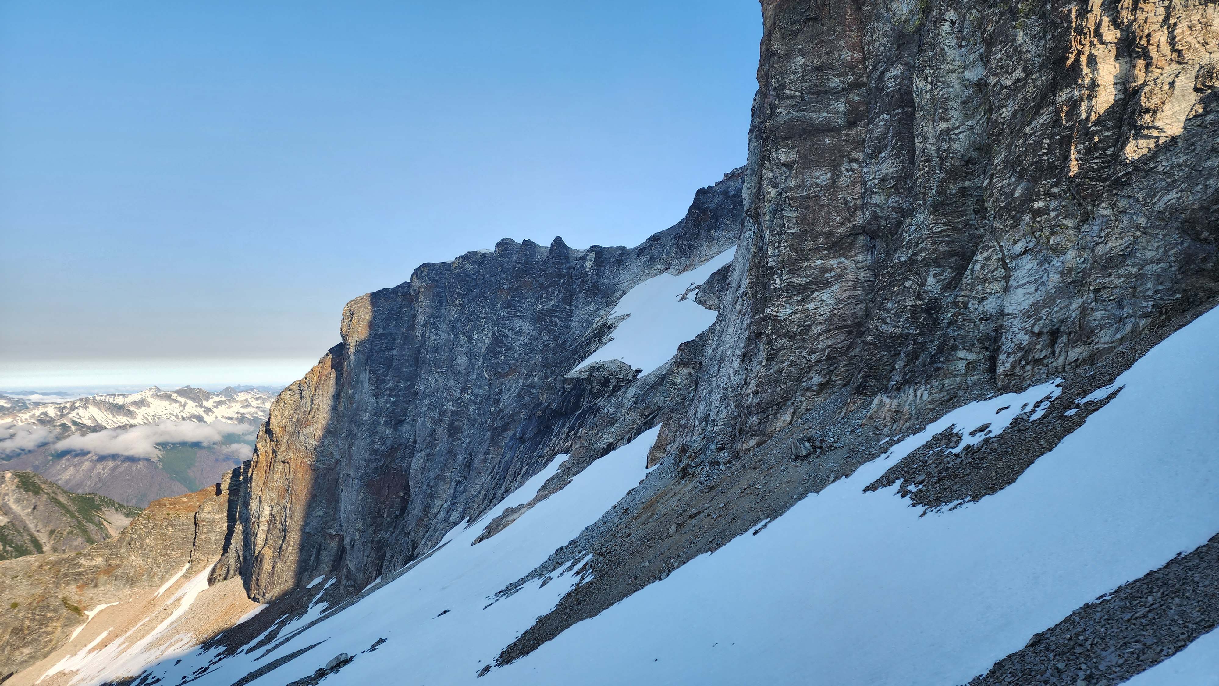
Looking over at the route to Redoubt
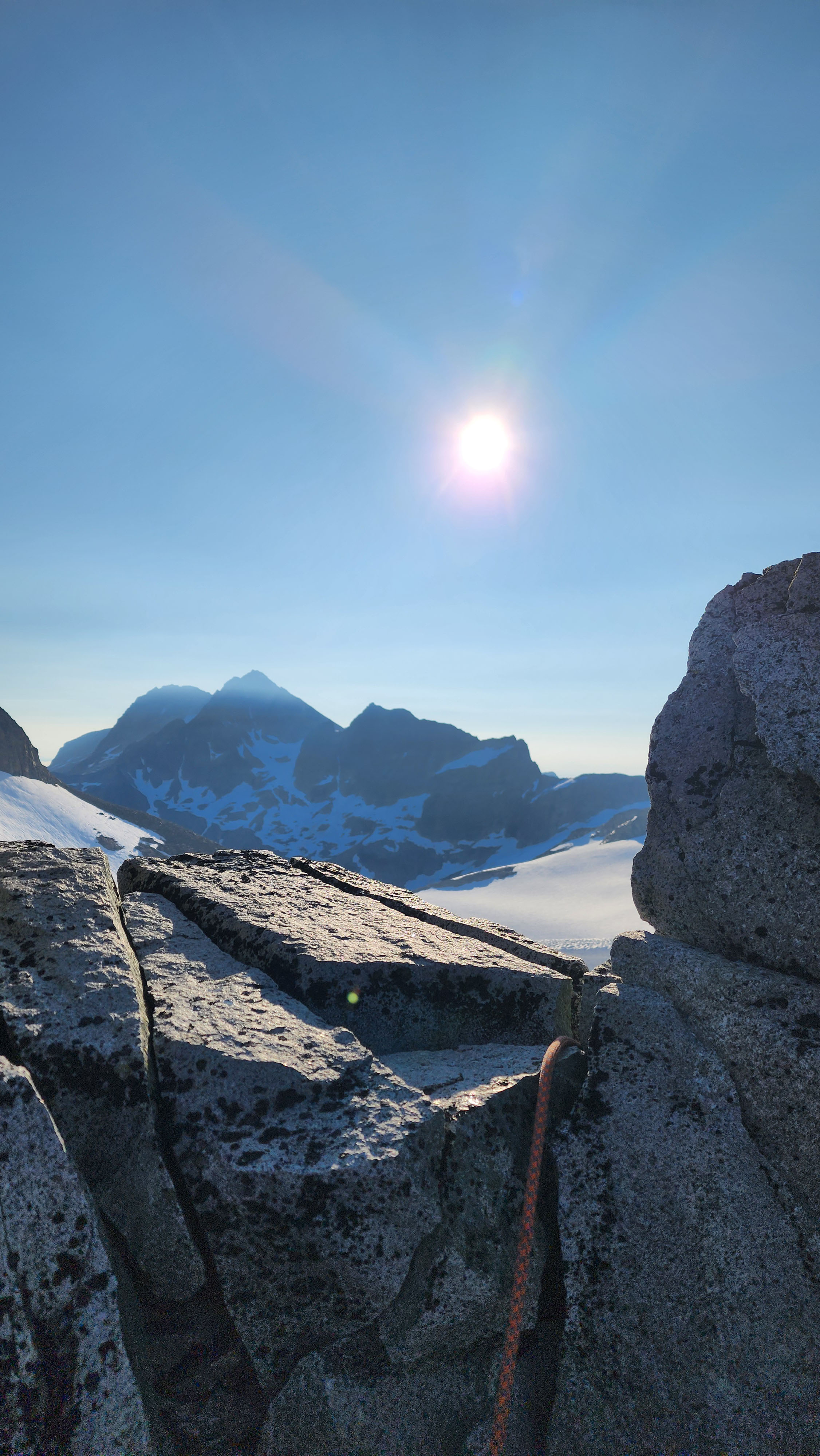
Looking back at the Redoubt Glacier from the saddle
Once we were all over the ridge, we unroped and I stashed the rope. We headed down the rocks and onto the snow, which was very icy. We traversed to the base of the route to Redoubt, where I ran into one of the members of the other group. His crampon had broke, forcing him to bail on the peak. Though, he said his partner was still going for summit.
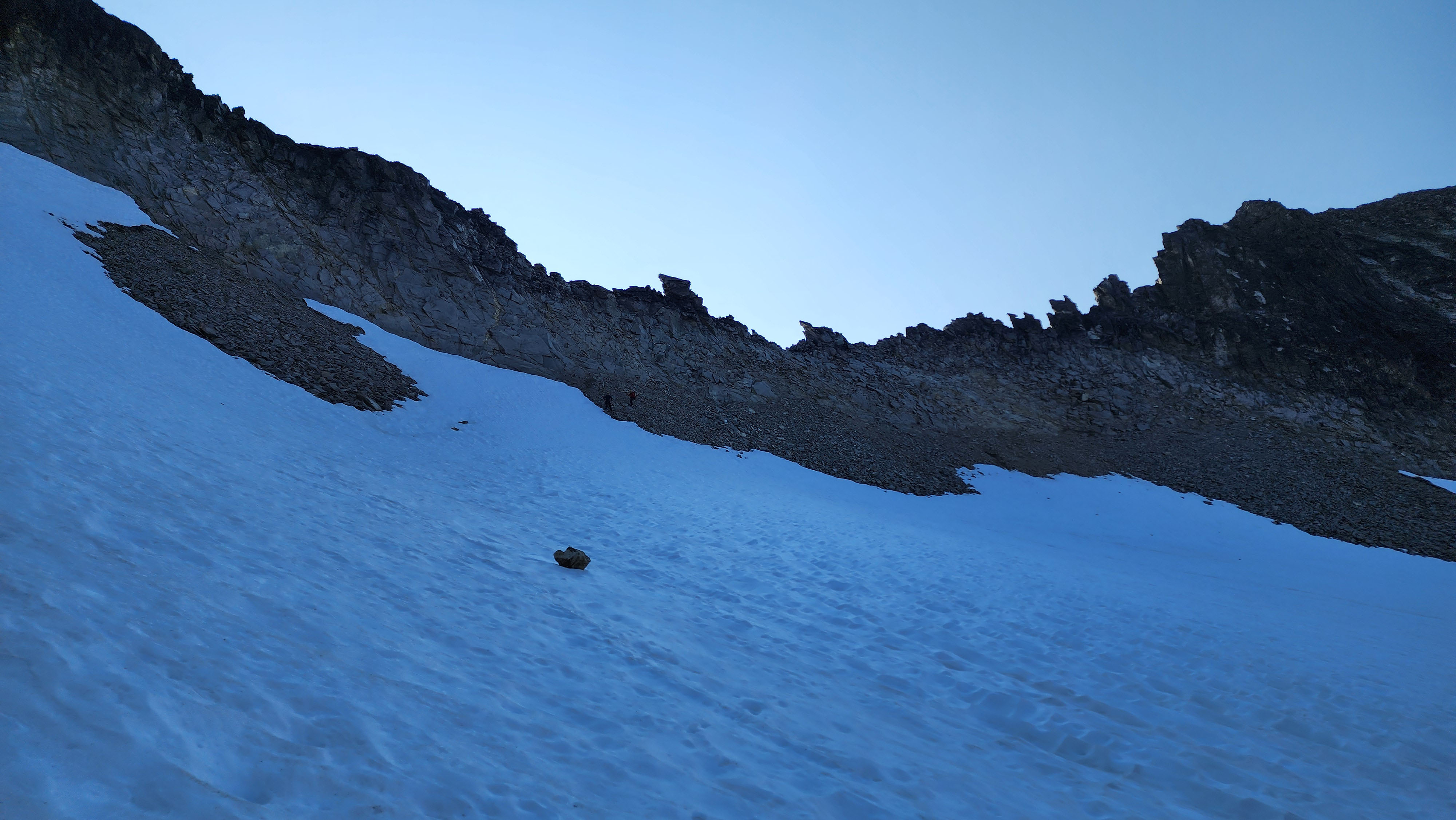
Coming down from the rocky ridge
My group caught up and we decided on a plan. It had already been an hour, but we had plenty of time. Our third partner, once again, didn't really want to climb. So we, once again, ascended as a duo to summit.
Redoubt Ascent
We started up the icy snow, which quickly led us to rock. The initial rock was suprisingly difficult in pons, but it went by fast. The rock was annoying in pons, so I hopped back on the snow for a bit, before deciding that was even worse and getting back on the rock.
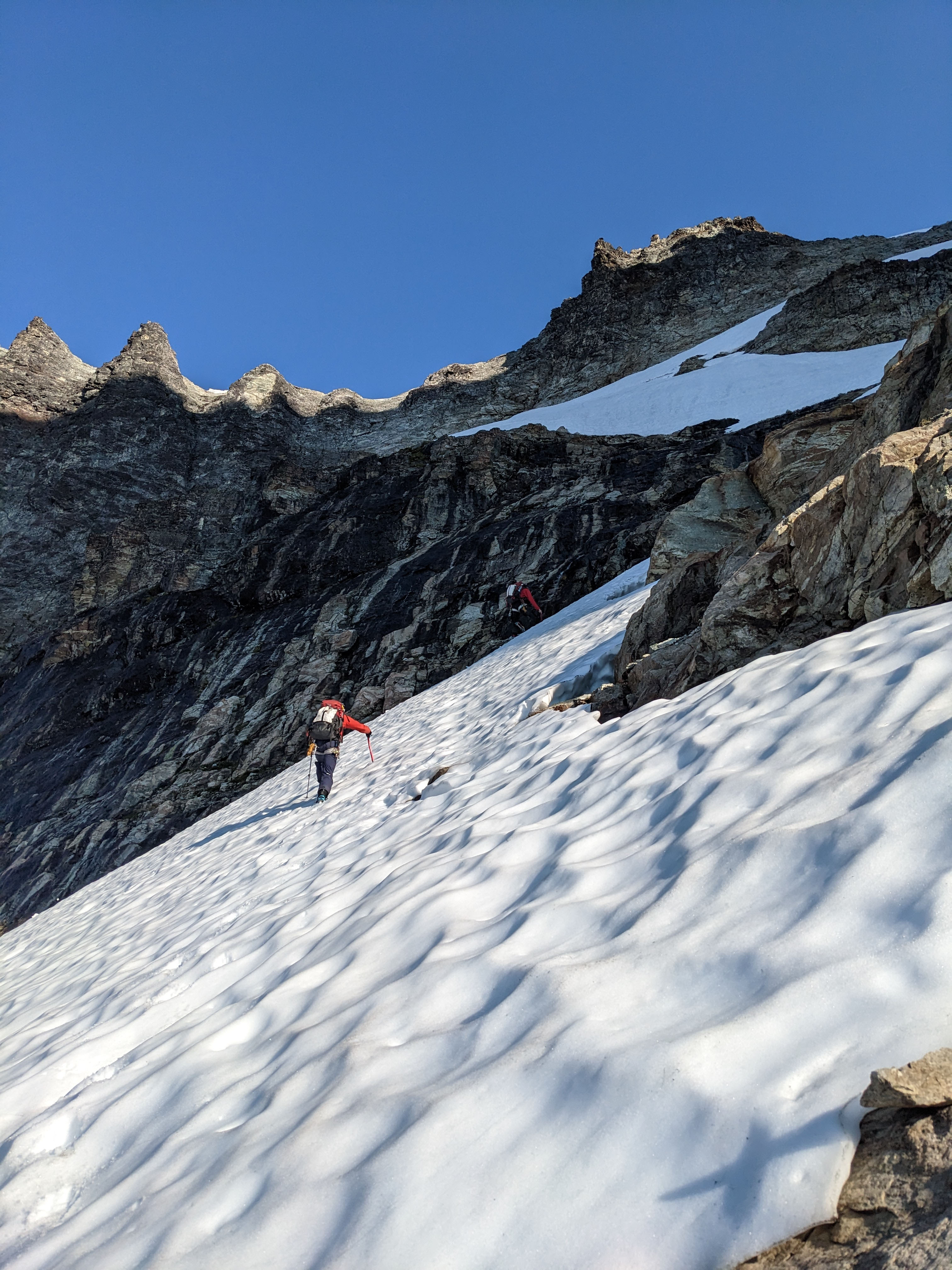
Walking the short snow section to the rock
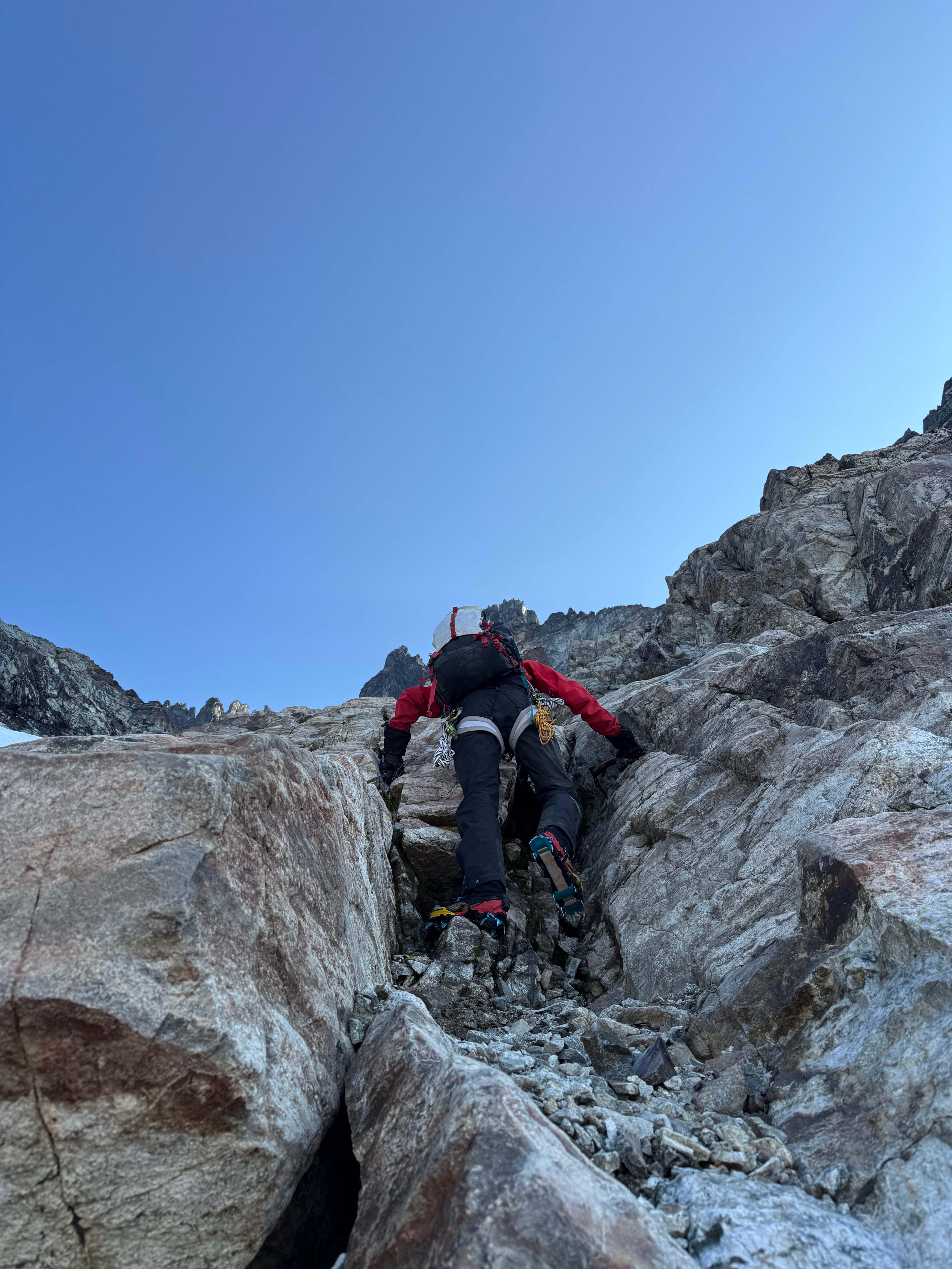
Climbing up the crux of the rock section
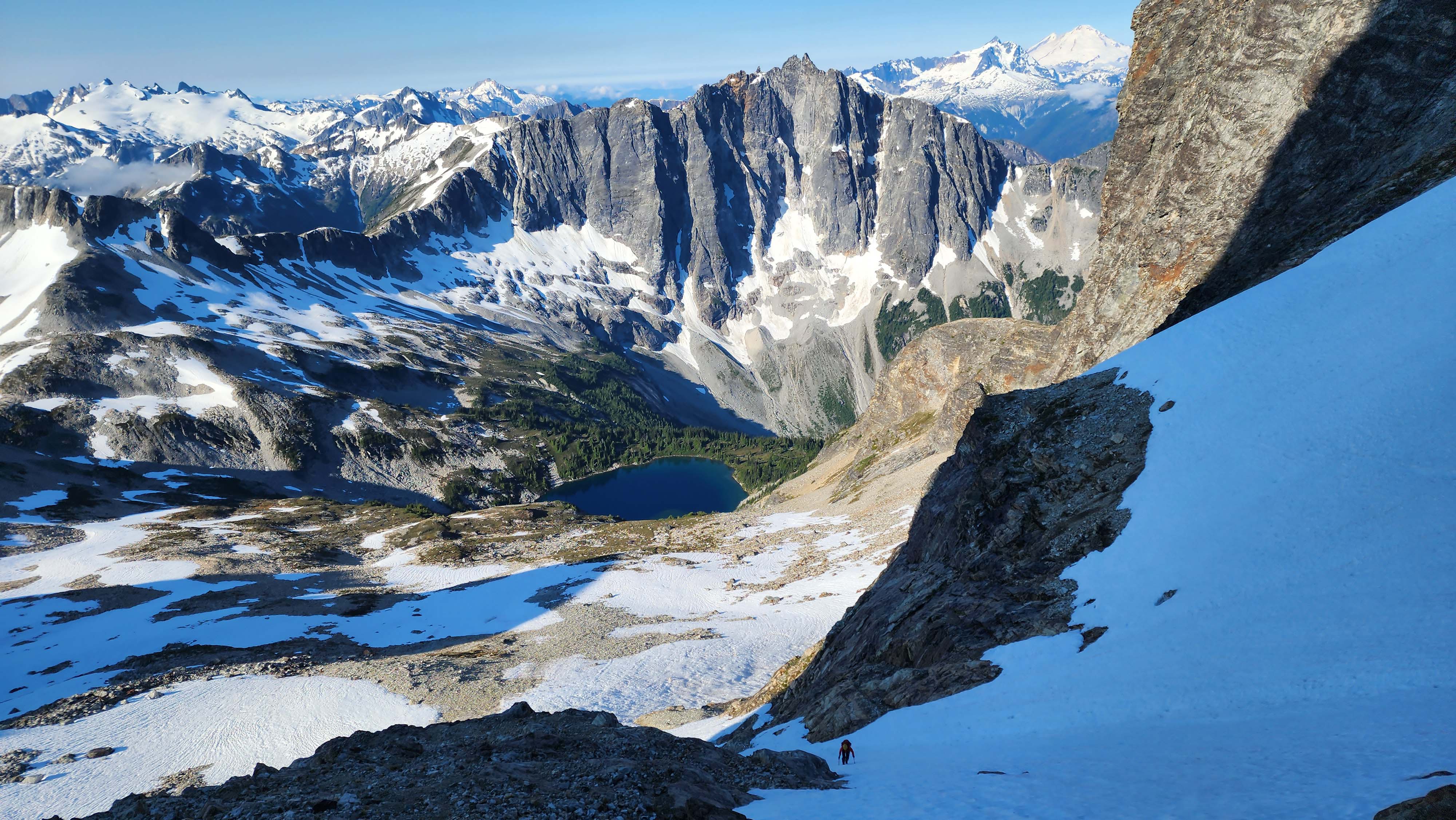
My partner following my route on the snow, which was much worse than the rocks
The rocks didn't last much longer, forcing us back onto the snow. Fortunetly, the angle was a lot less steep, making it easy walking. We followed the bootpack set by the other group, but it was nothing more than crampon marks on icy snow.
The bootpack went a way I didn't expect, but I followed it regardless. It eventually went into a snow moat, and crossed a snow plug in the moat to get on a rocky ridge.
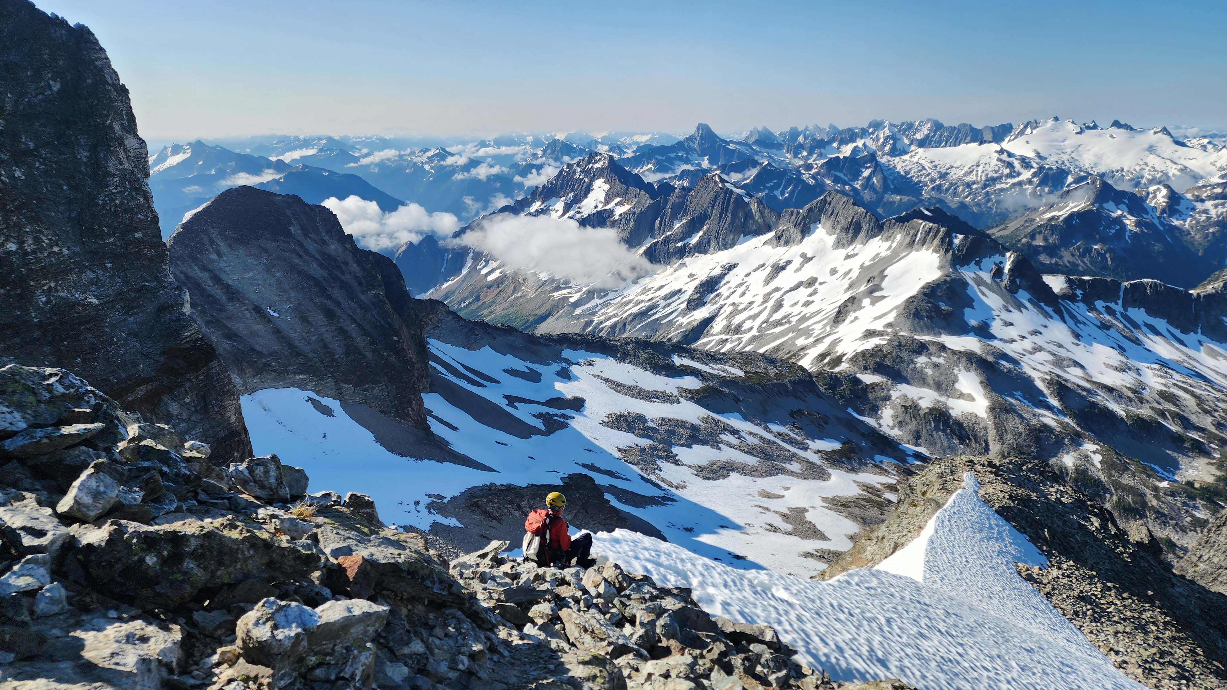
At the base of the rocky ridge
The rocks didn't last long and we were back to snow quickly. We didn't see the bootpack, so we headed up in the direction we thought was best. Turned out we went too far right, and had to climb in a snow moat to get back to the correct route. I ended up climbing a super sketchy wall that was low 5th — wouldn't do that again. However, at the top of the wall, we found the correct route.
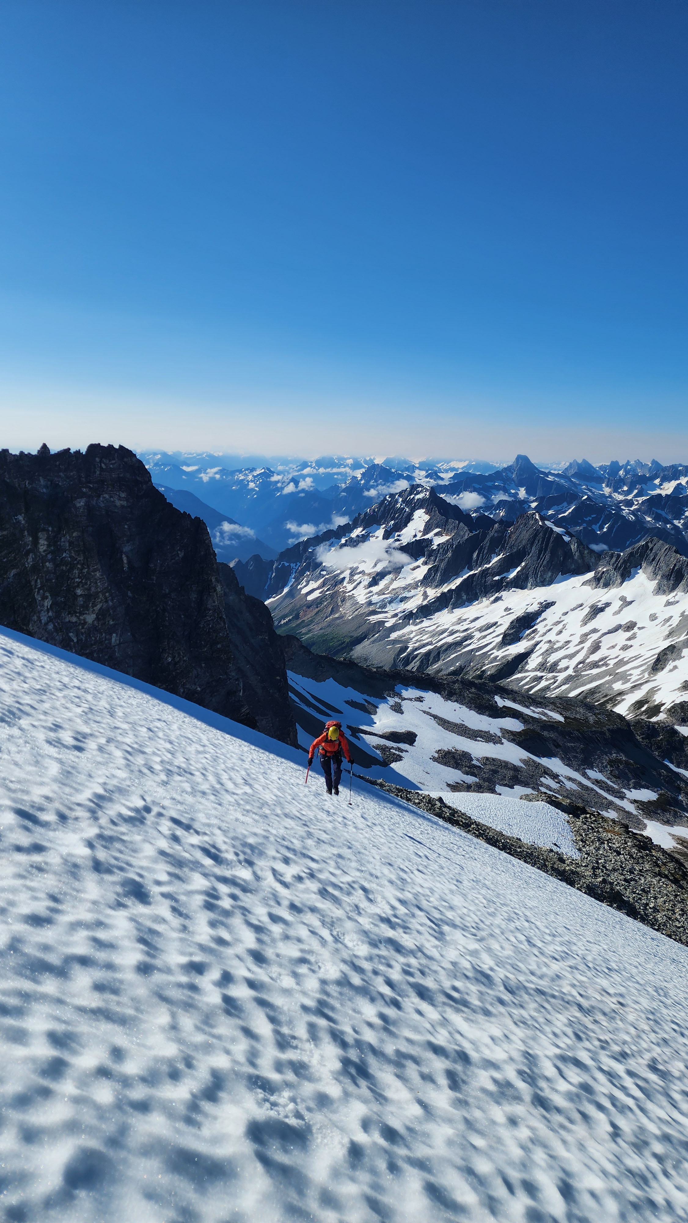
More snow
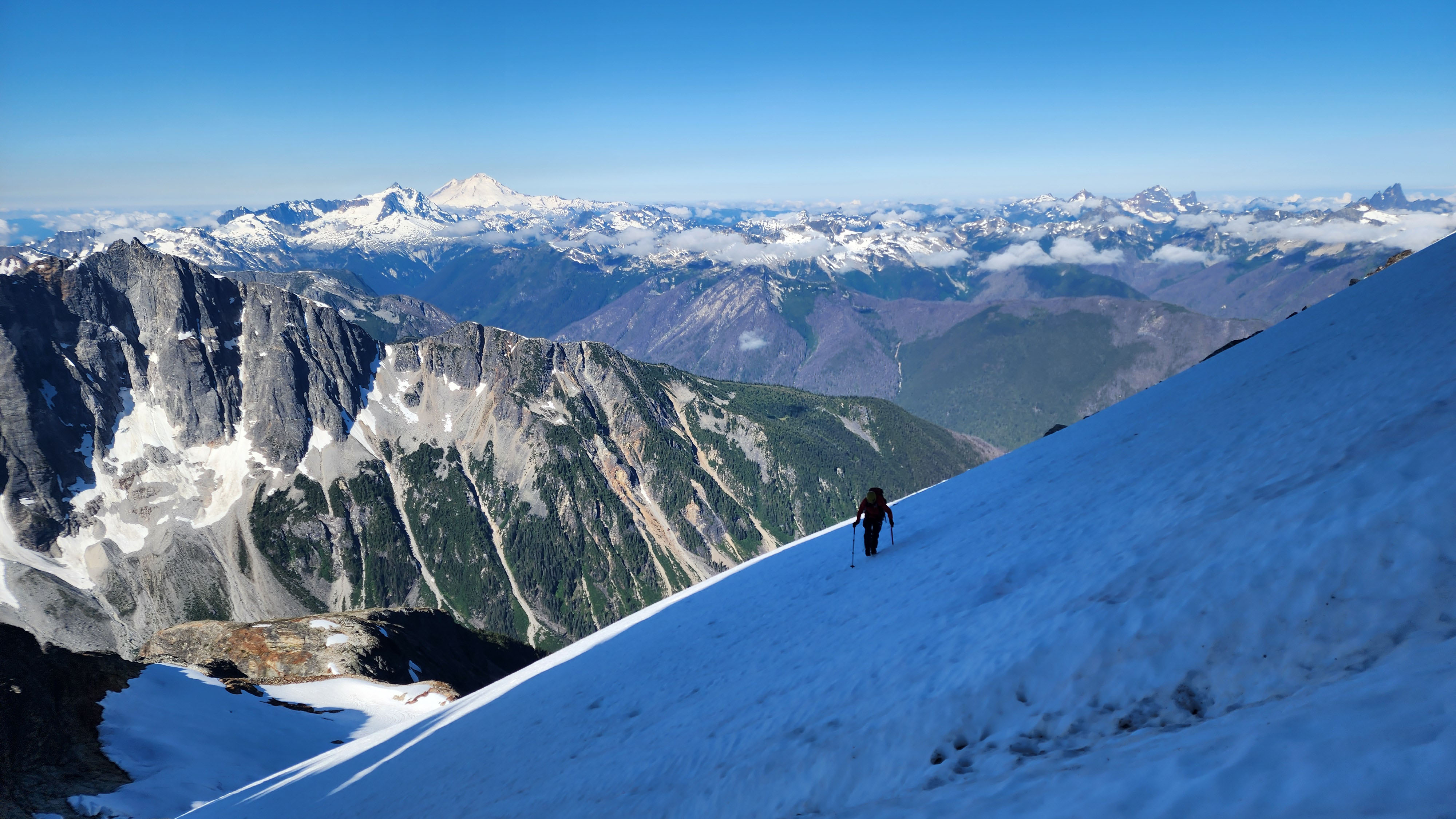
Traversing to rock
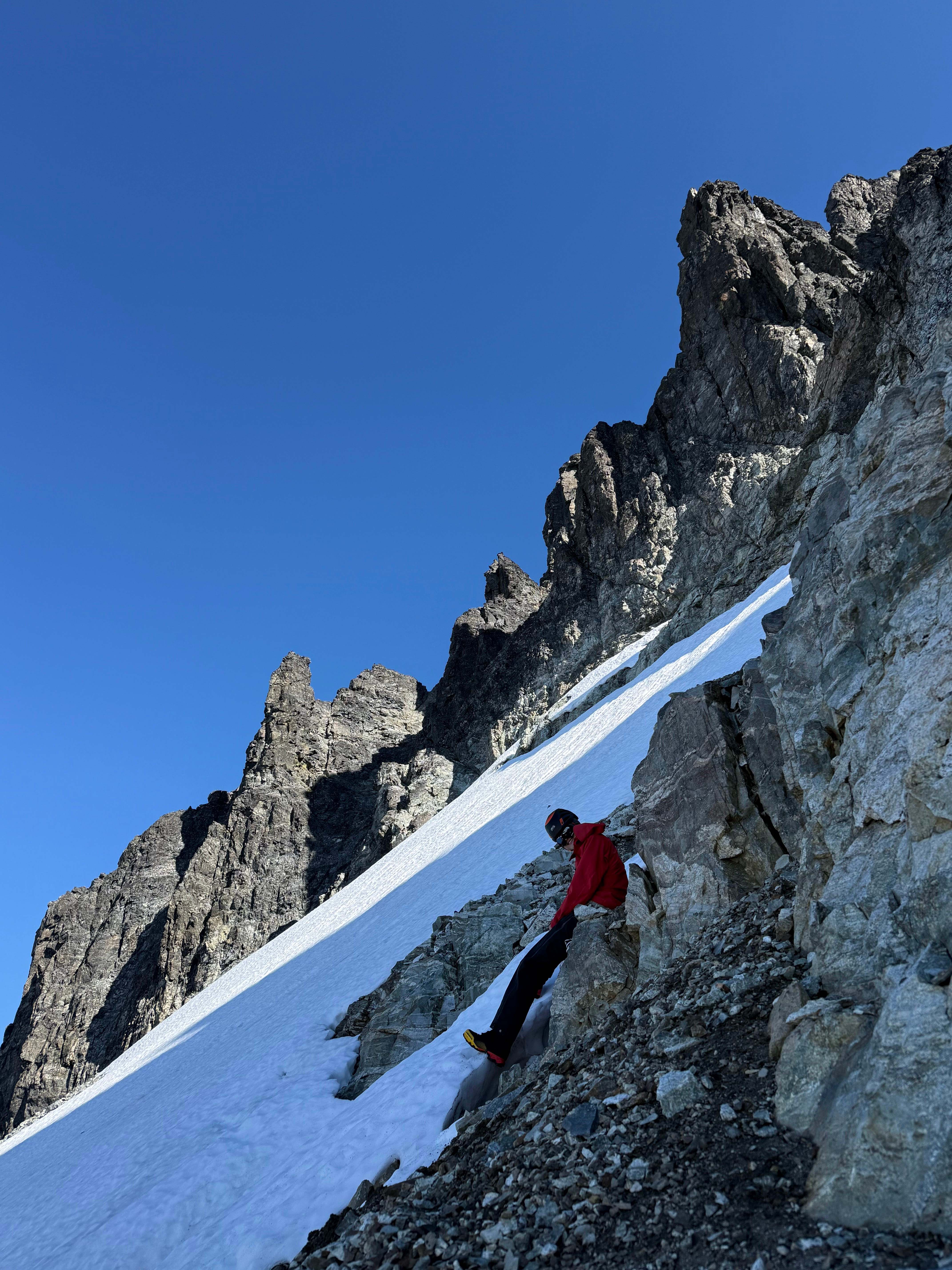
Off the snow for good, till we realized we were on the wrong side
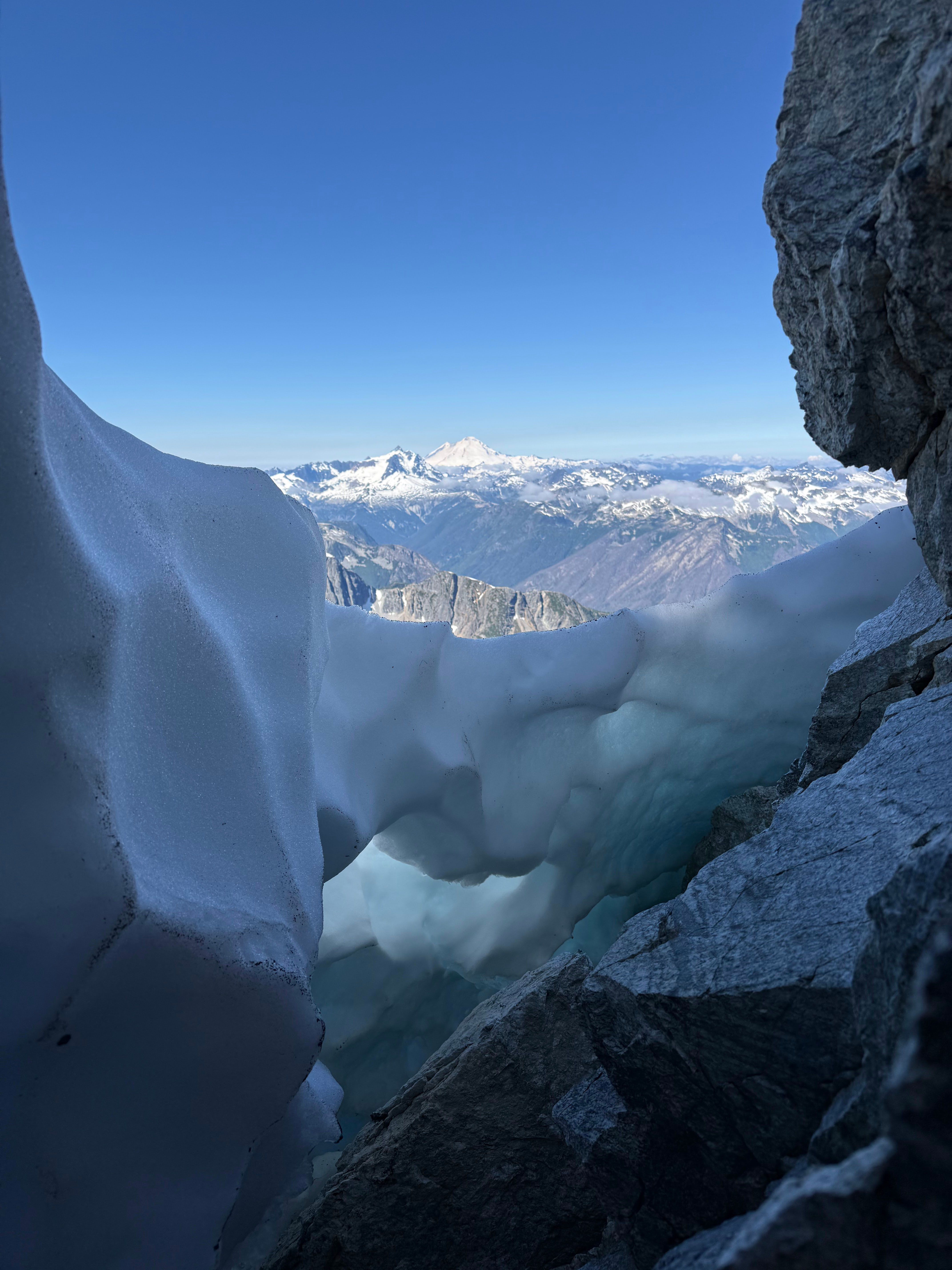
In the snow moat
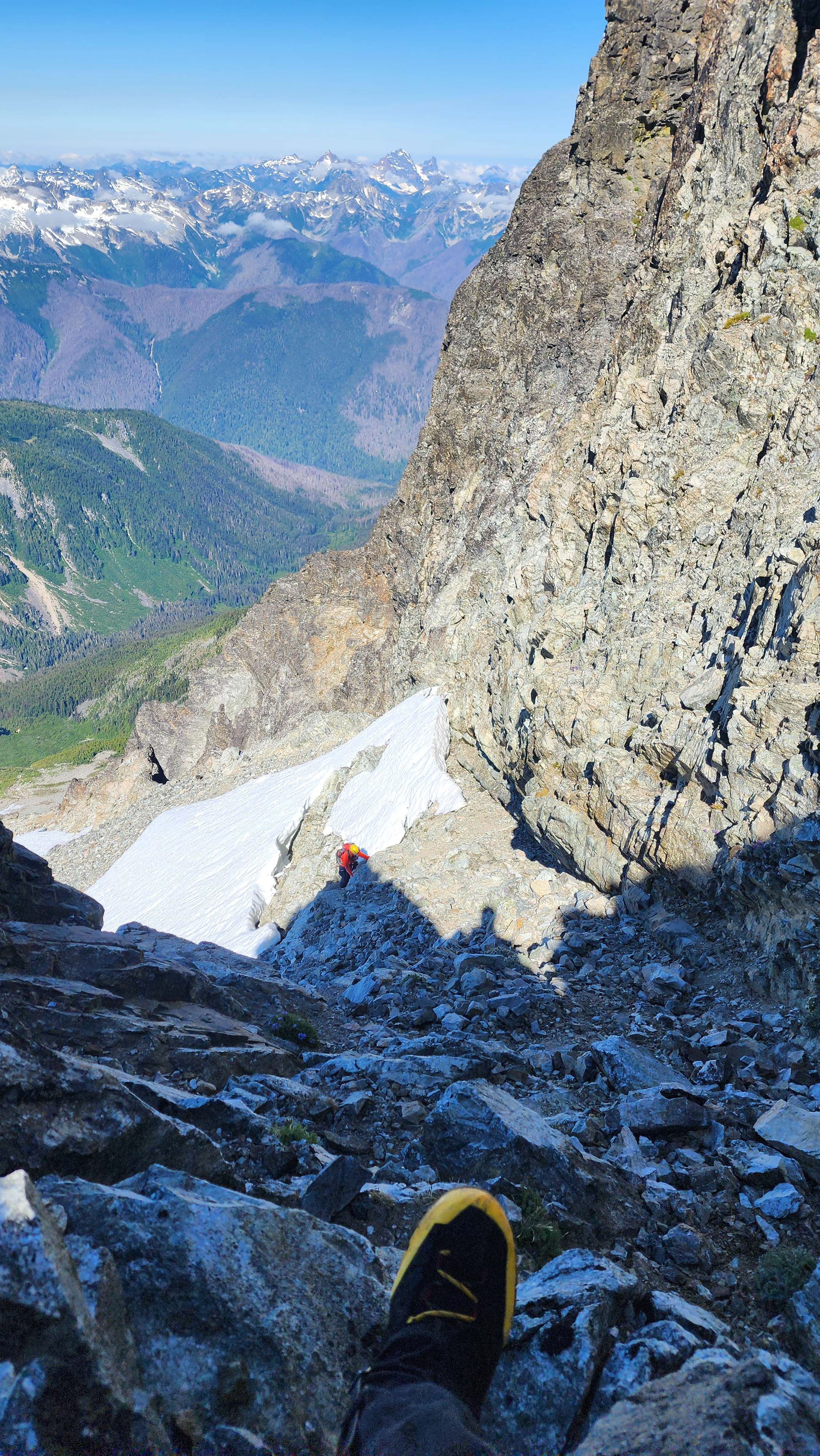
Now on the standard route
Once on the correct route, we followed the ledge till the last cairn. At the last cairn, we climbed straight up to an anchor. A little more scrambling past brought us to a dirt slope. I walked up the slope to the top, but the route up from there looked a little sketch.
Then we heard someone yelling rock; we could tell it was not on the same route as we were on. We followed the sound to a different gully, where we found the other member of the group that we'd been with. He told us that he actually did go around the way I was going to go, but the main route was up the gully he was in. Hence, we decided to just climb down into that gully, and follow it up.
The gully led us to the "Cannon Hole," which I had remembered reading about; this was supposed to be the crux of the route.
The section was super protected, so I led up without worry. The moves were difficult, especially in boots, but it was no more than low 5th.
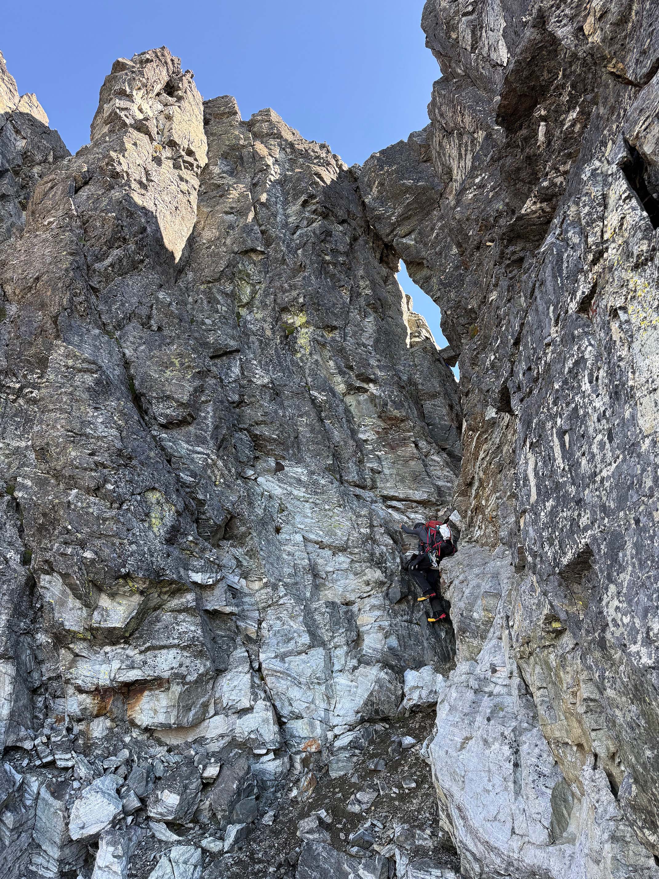
Climbing up to the Cannon Hole
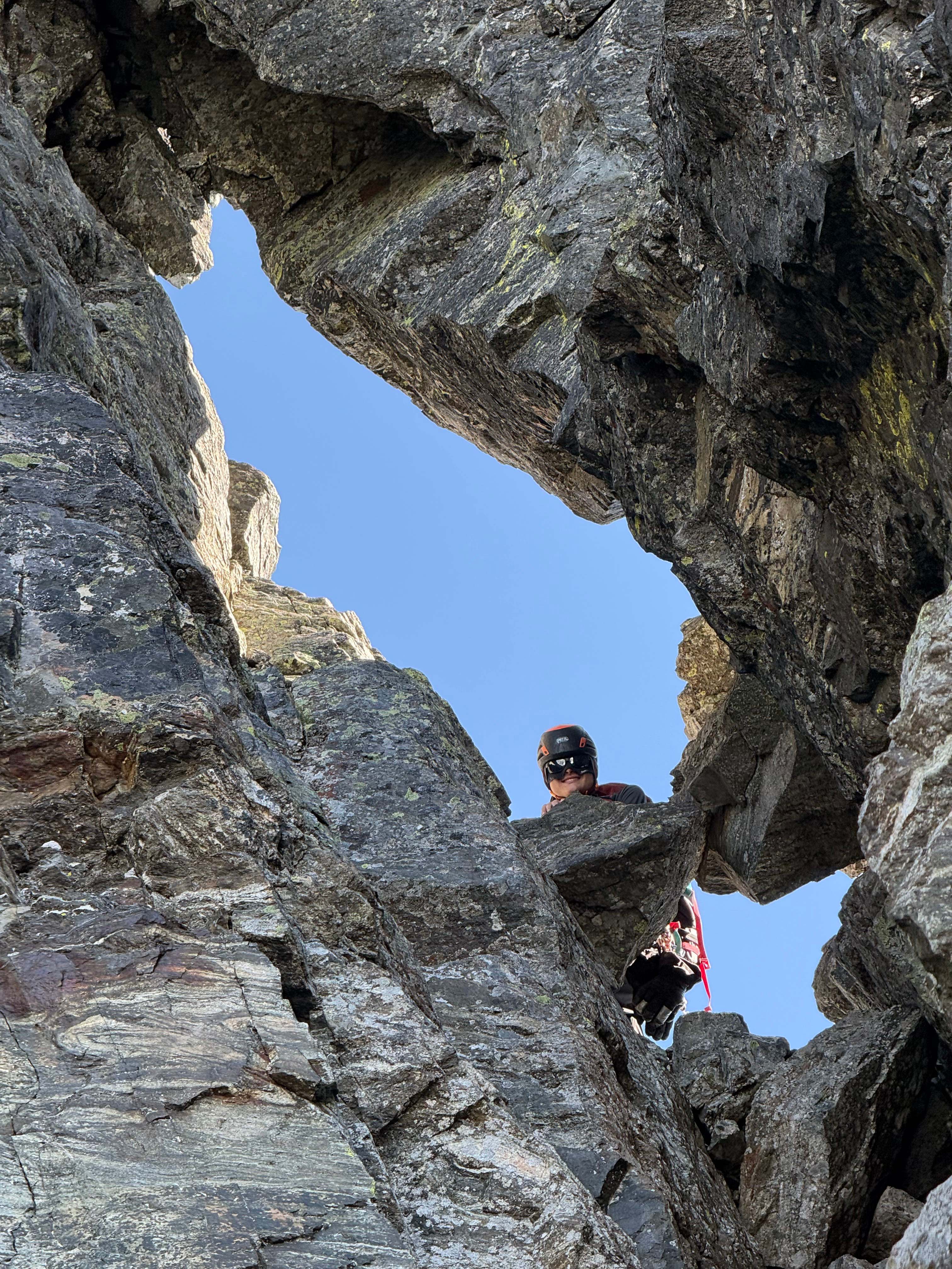
In the Cannon Hole
The Cannon Hole was really cool, being a cool hole in the rock which we had to climb through. I continued up past the Cannon Hole anchor and made it to summit not long after. My partner caught up and we took our break on the top.
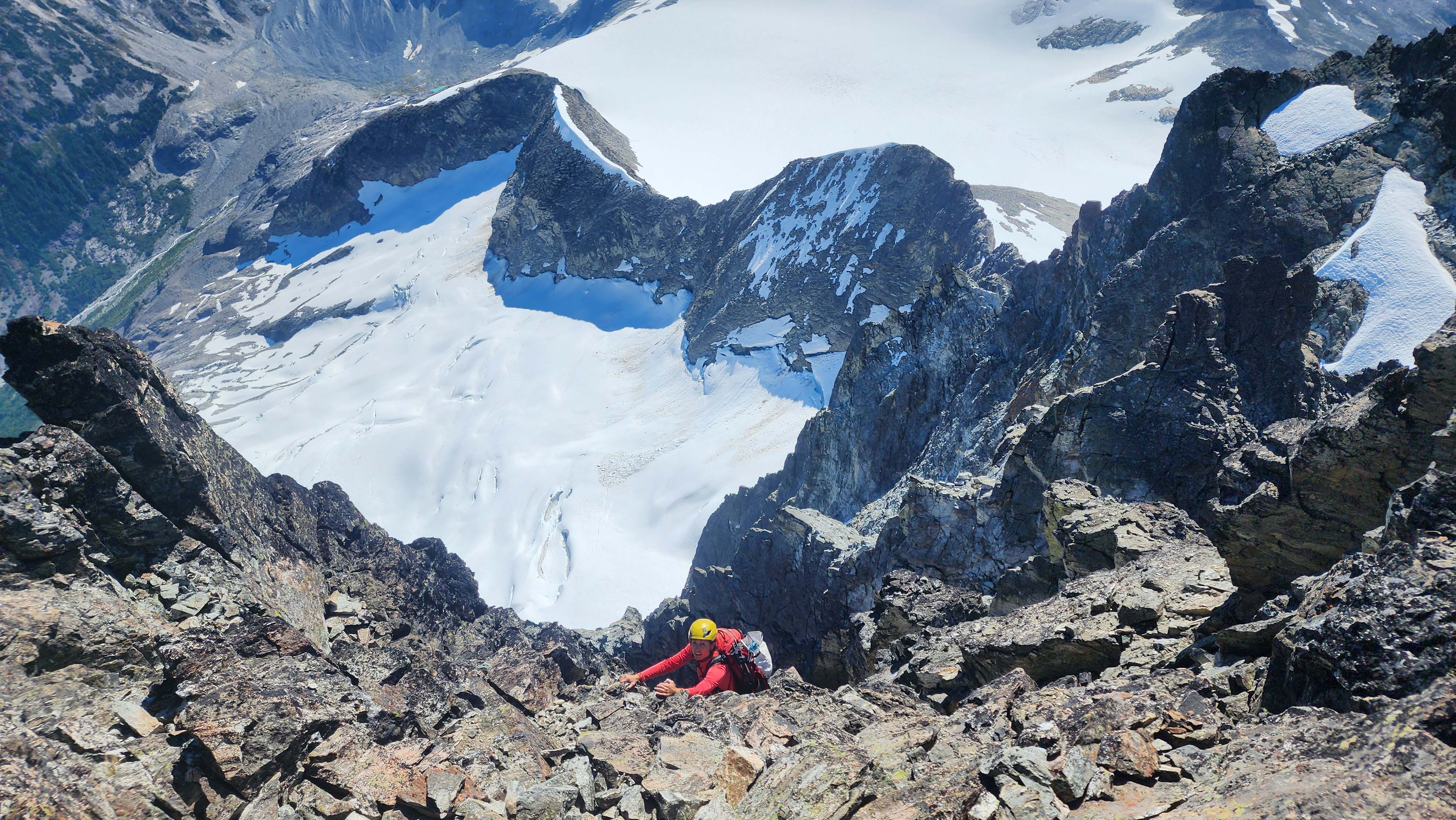
My partner on the last bit of exposed rock to summit
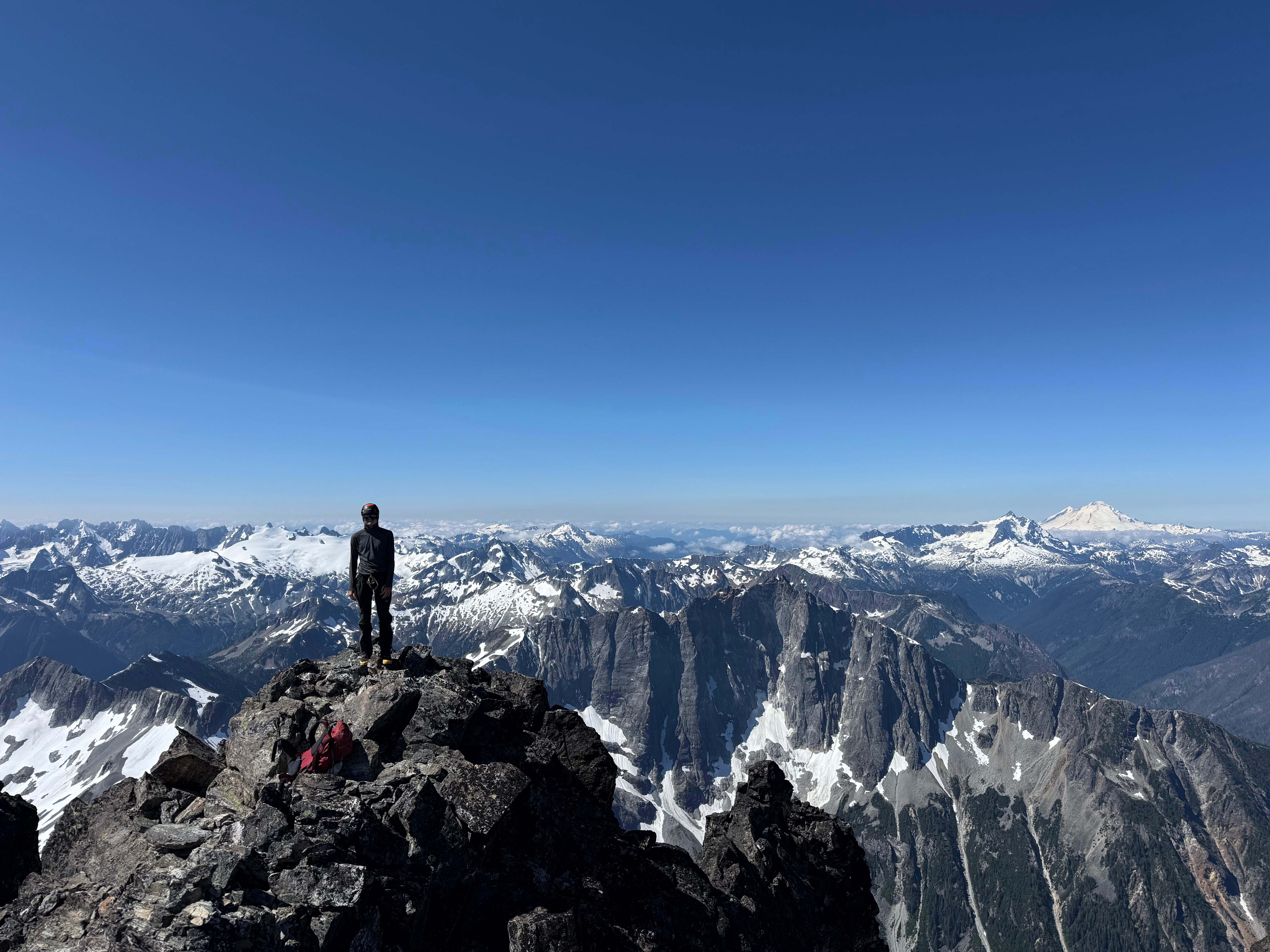
My partner on the summit
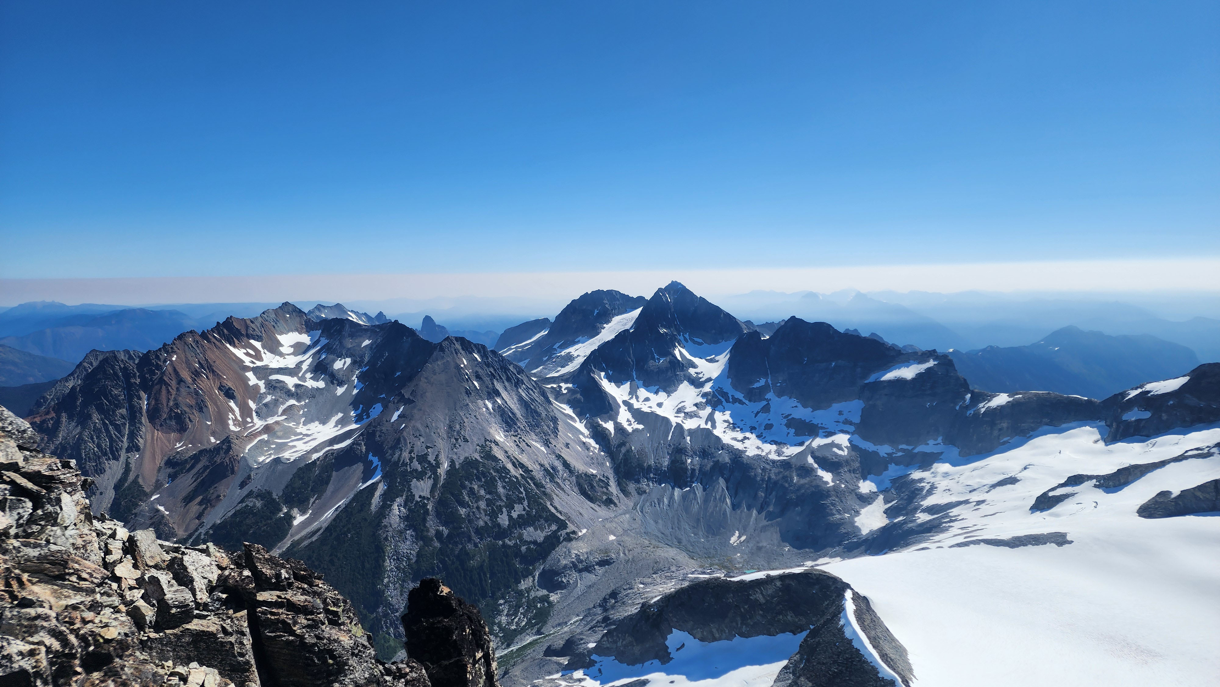
Looking over at Custer, Rahm, and Spickard
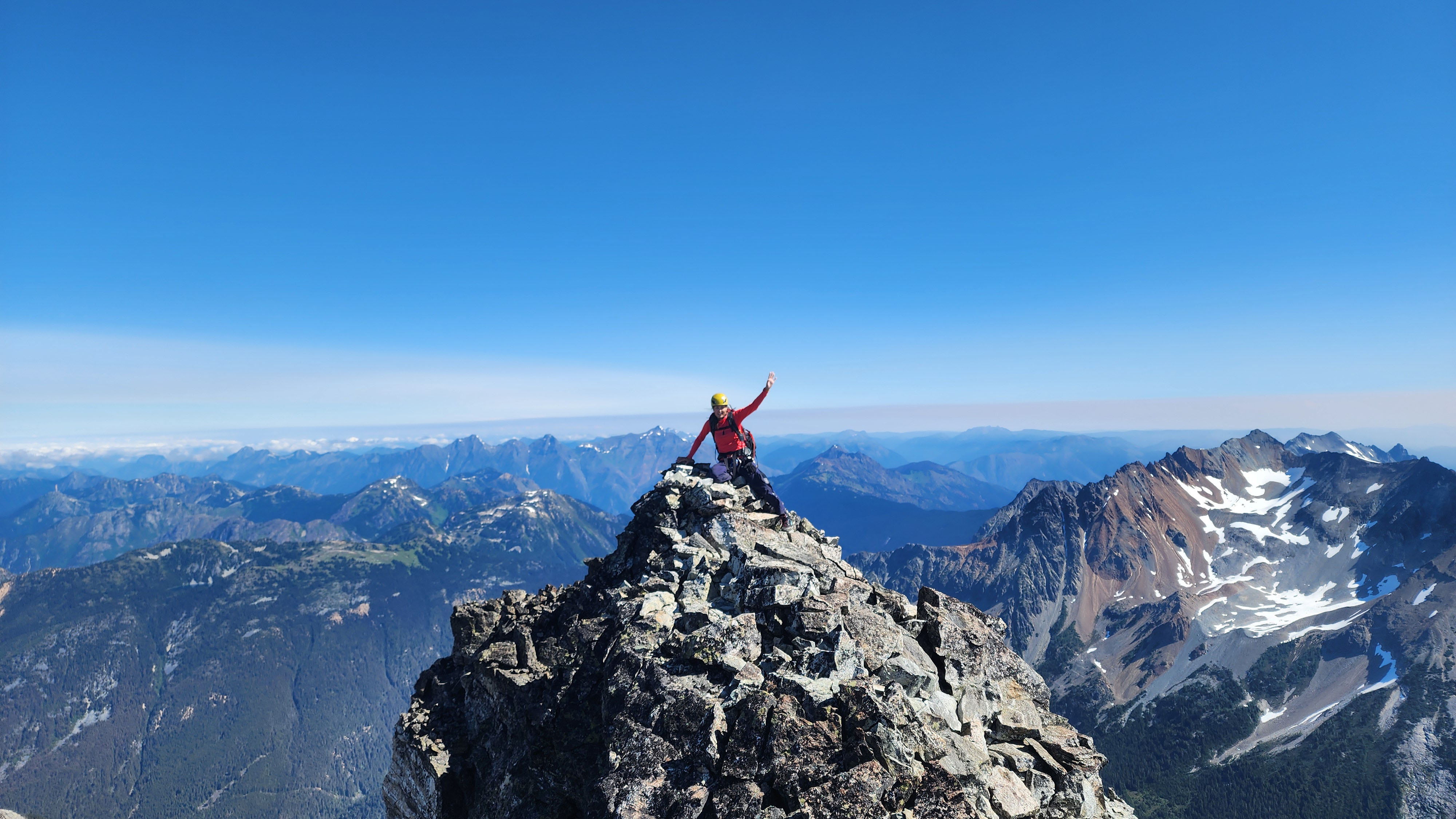
Me on the summit
Descending Redoubt
After a nice break on the summit reading the register and scoping out Easy Mox, we worked on rapping down. We used the summit anchor to rap to the Cannon Hole, then used the Cannon Hole anchor to rap to the base.
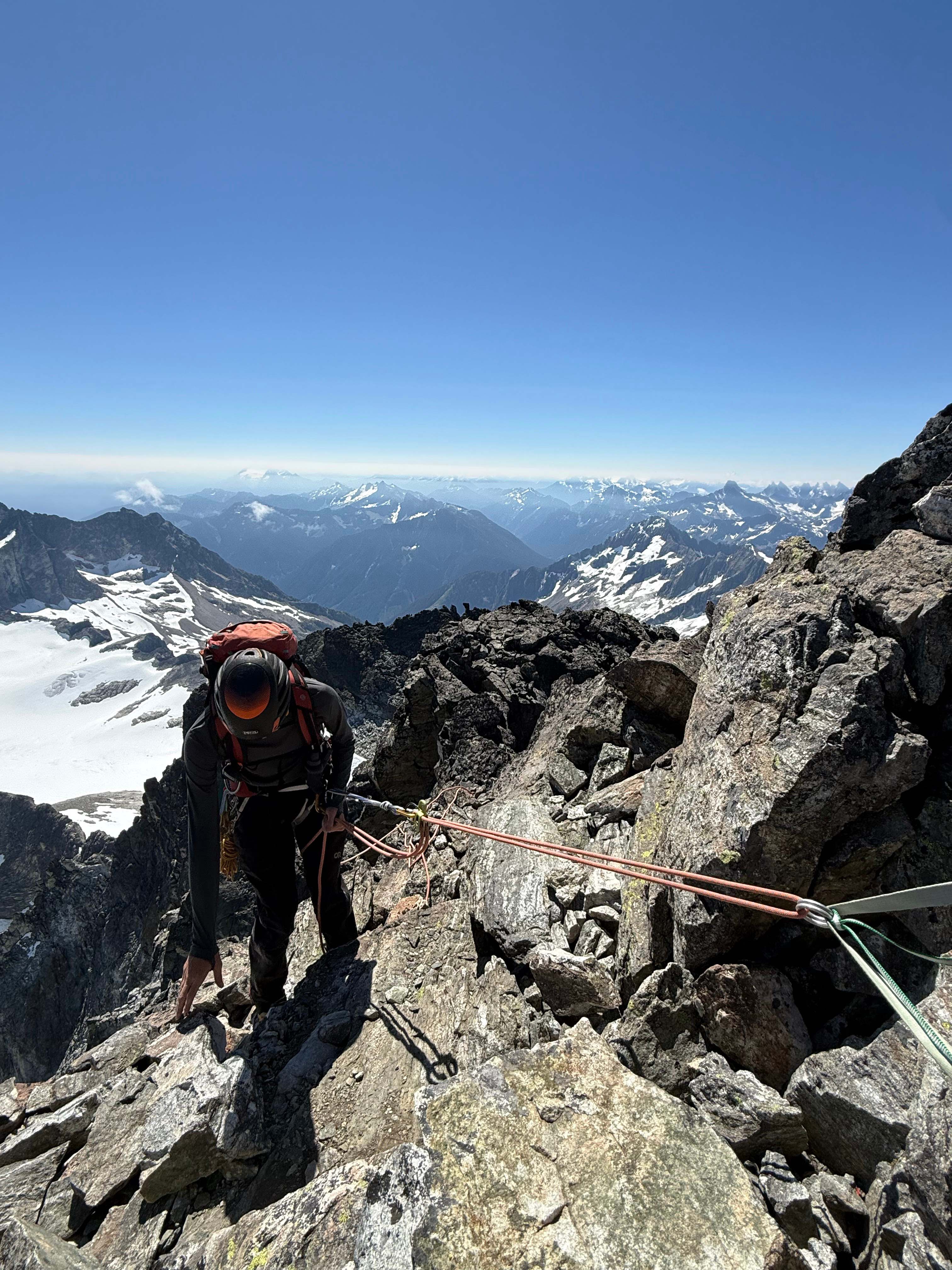
Rapping off the summit

Rapping down from the Cannon Hole
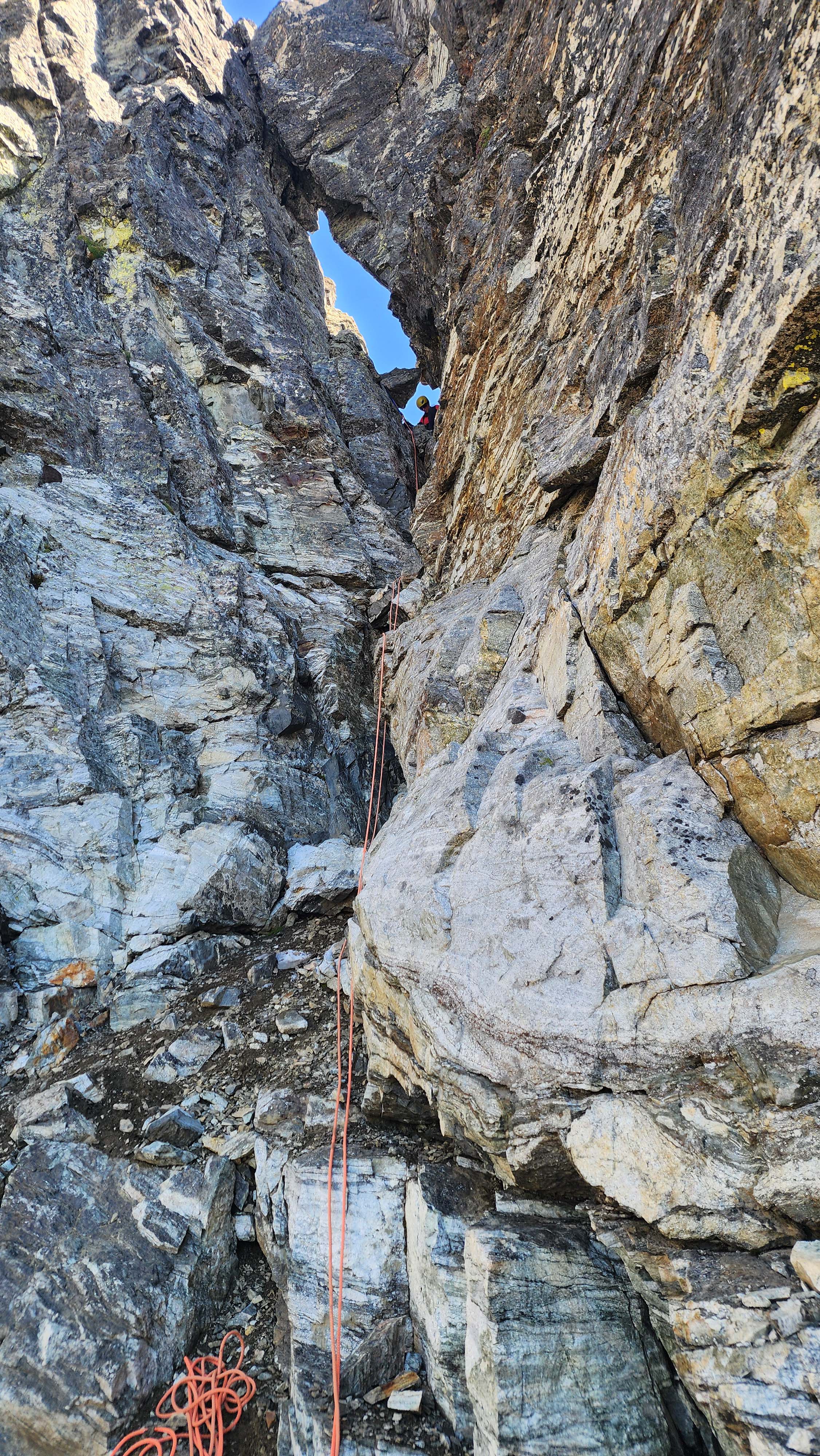
The Cannon Hole rap
We saw another rap anchor above the harder part of the gully, so we opted to use it as well. That rap brought us back to where we had downclimbed into the gully.
Rather than follow our up route, we just continued down the gully. It was chossy, but plenty easy. We got back on the ledge and walked down to the snow. We saw that the other person had went around to the right, so we got in the snow moat and followed it to his route. I climbed across the short snow section to the rock below. I was too lazy to pull out my axe or put on pons, so I kicked steps and used my nails as an axe replacement.
That side of the snow had good rock to walk down, and we made it back to the lower snowfield in no time.
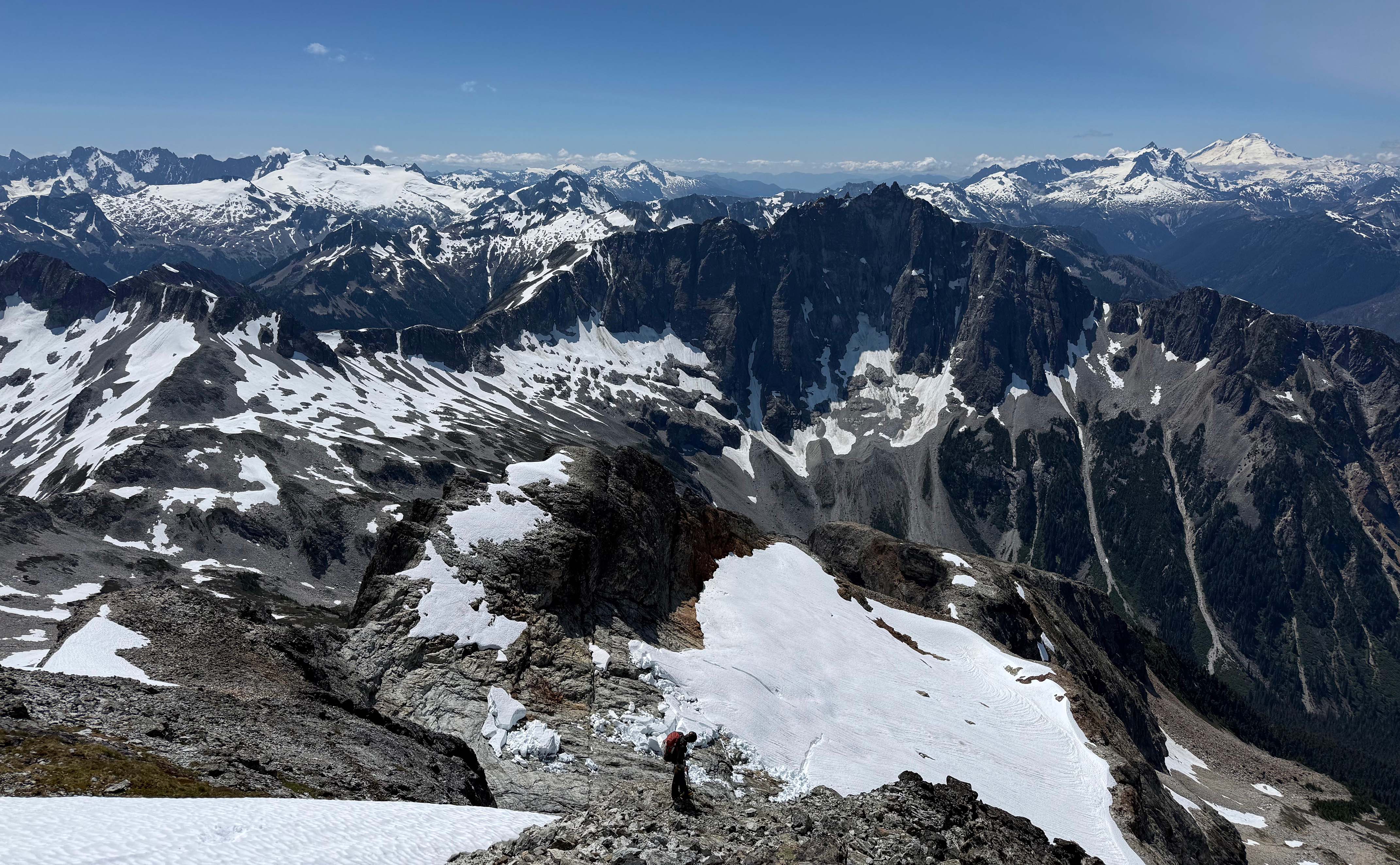
On the rock to the right; the perspective of what I'm standing on is weird here
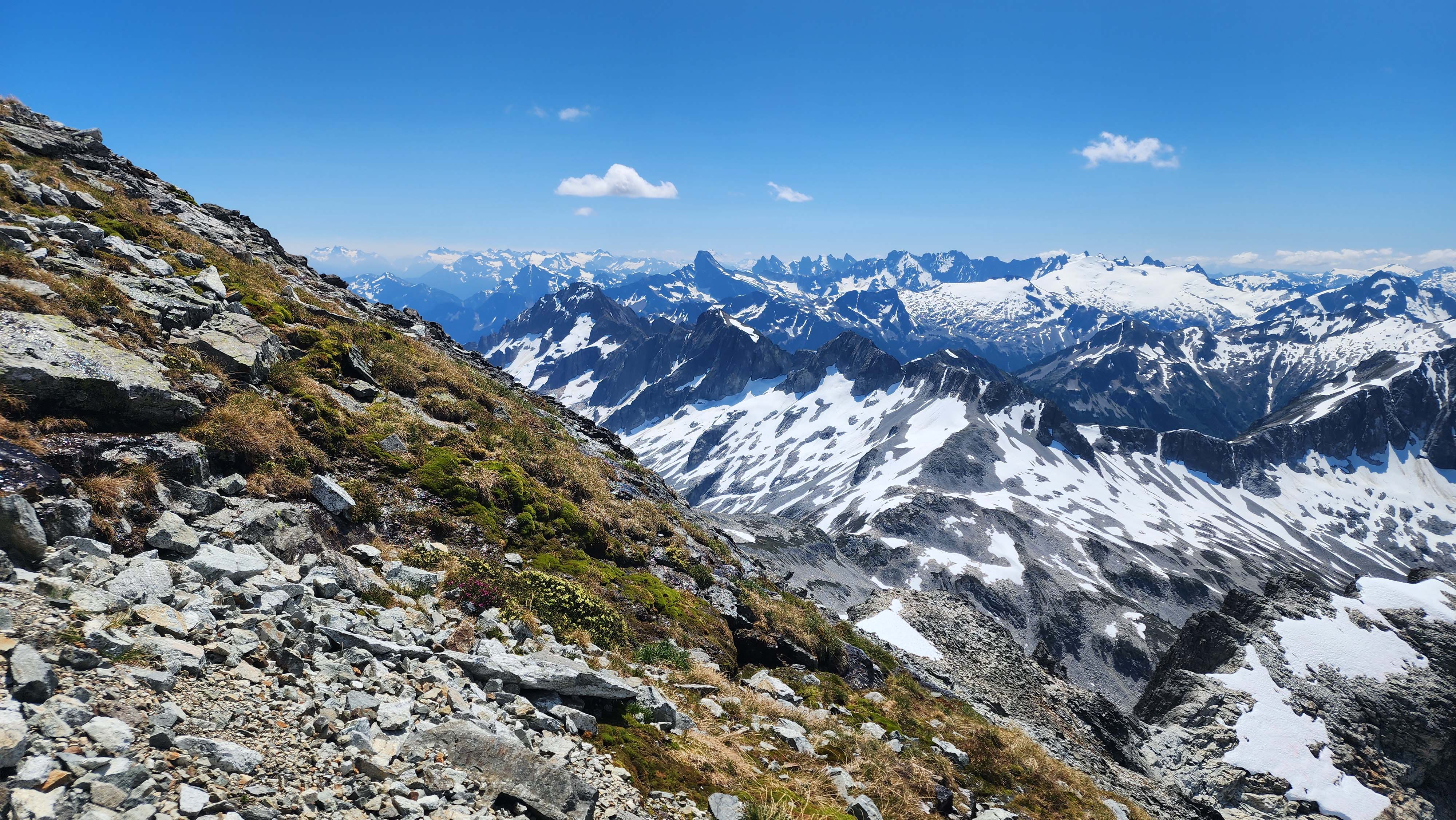
Some nice meadows
We went down a bit lower to get onto the snow. The snow was quite slushy at this point, which made for fast travel down. Once back to where the lower rock was, I made the decision to get on the rock, since the snow wasn't quite good enough to face forward there.
Getting back to the ledge where our other partner was no problem. I checked out some crystals they found while waiting for my partner to get down.
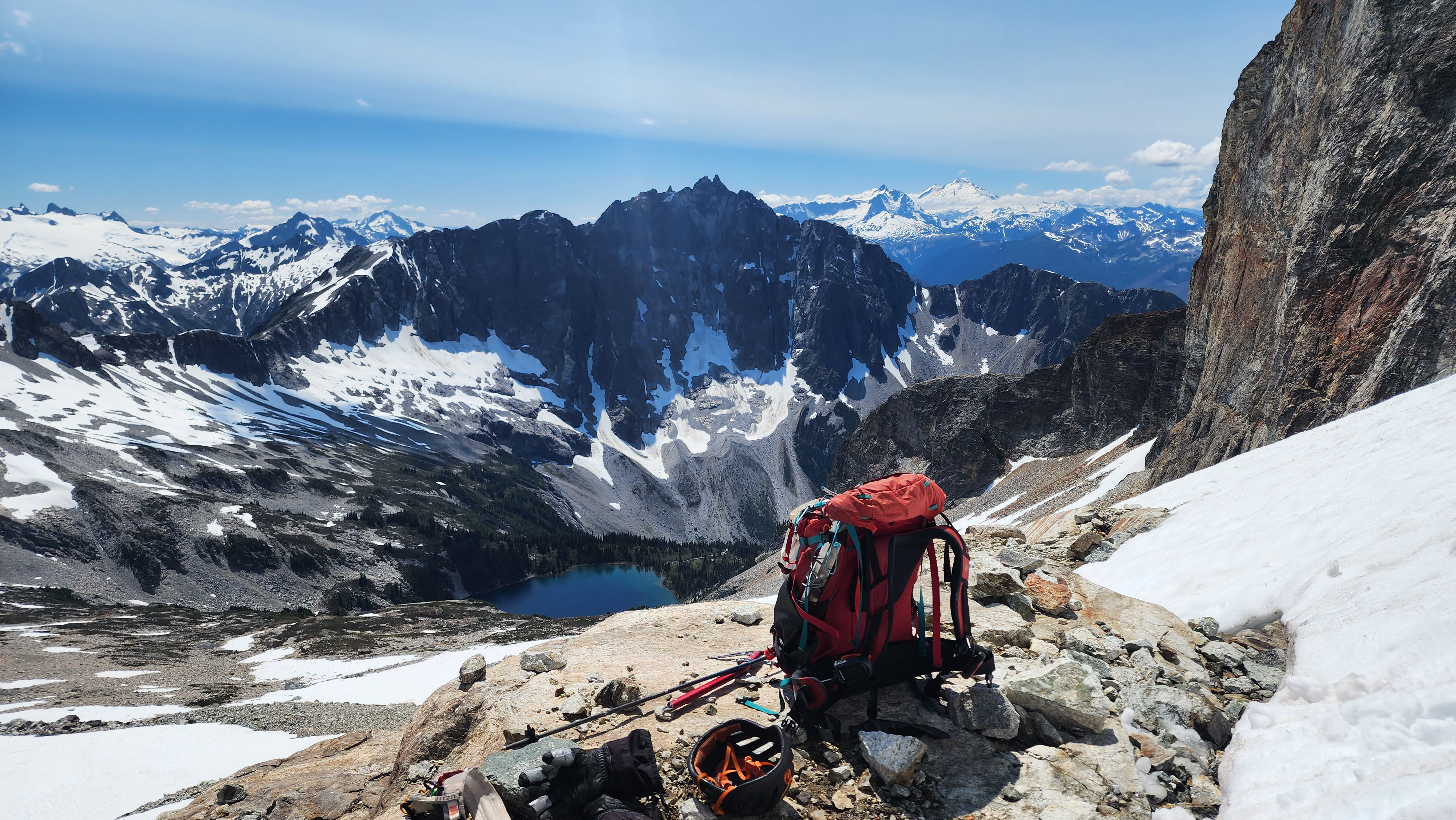
Back to the ledge, which was now in the sunlight

The cool crystals they found in a rock
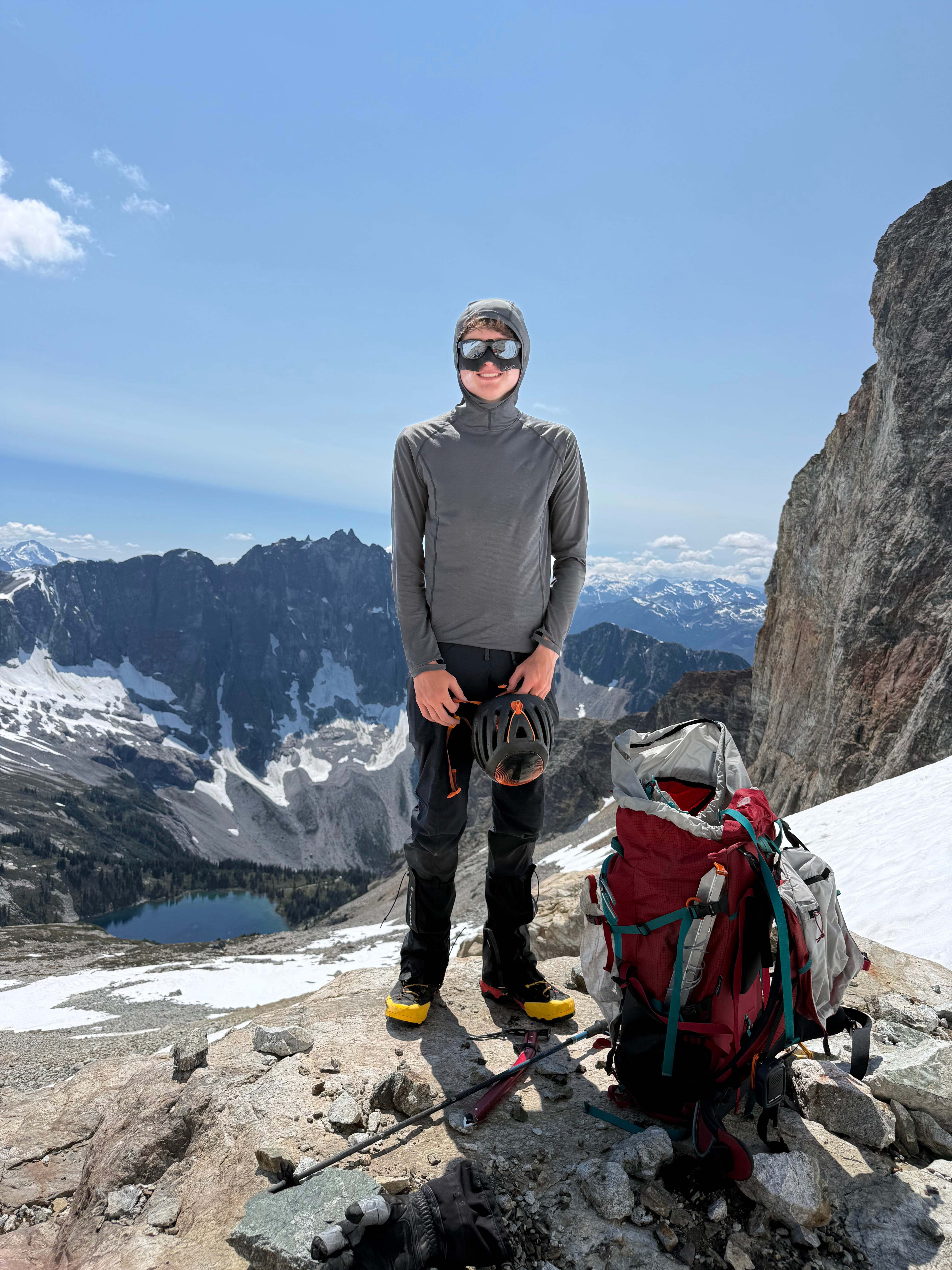
Feeling successful after another summit in the bag
Post-Redoubt
We traversed back to the rocky ridge, and then roped up for heading down the Redoubt Glacier back to camp.
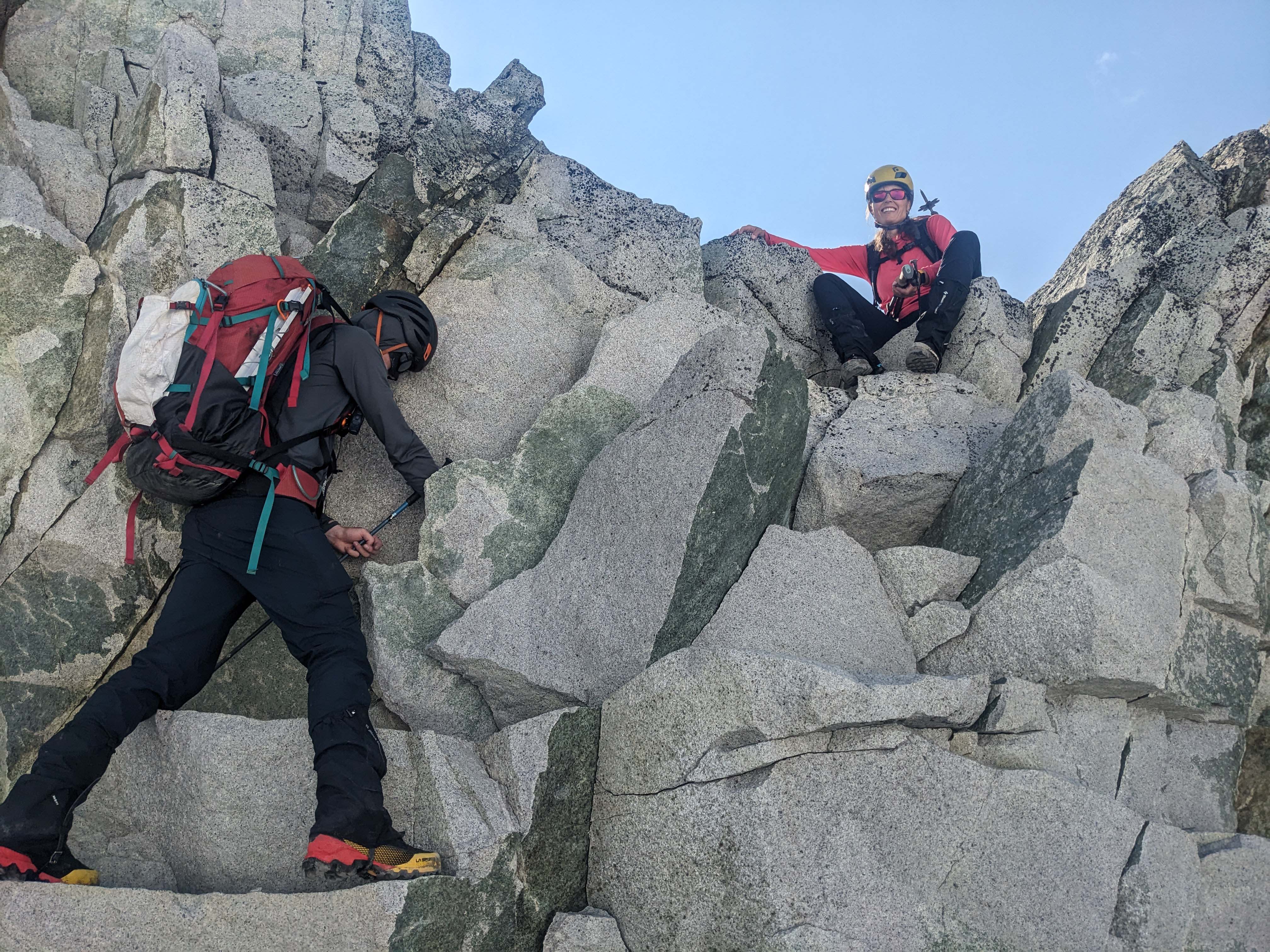
Some shenanigans
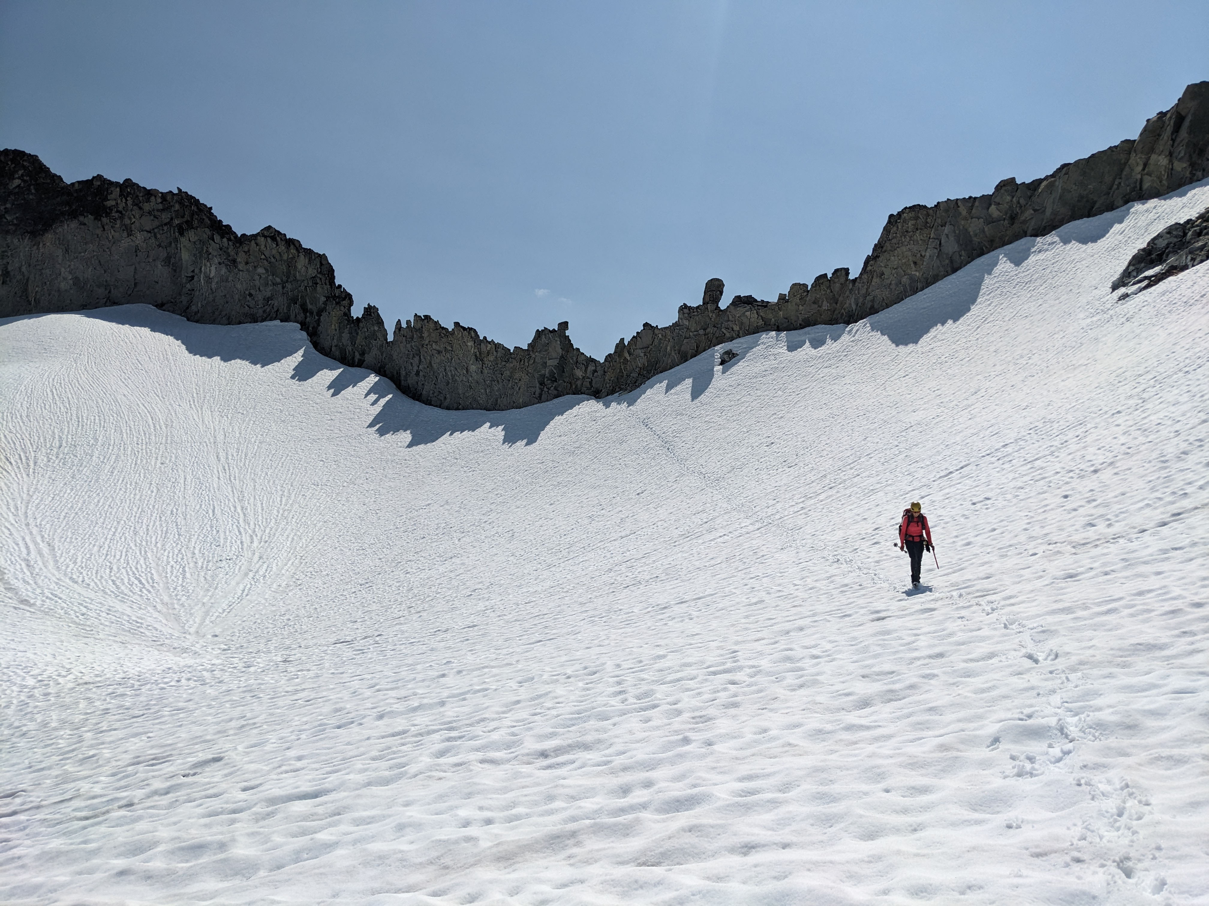
Walking the snow back to the glacier
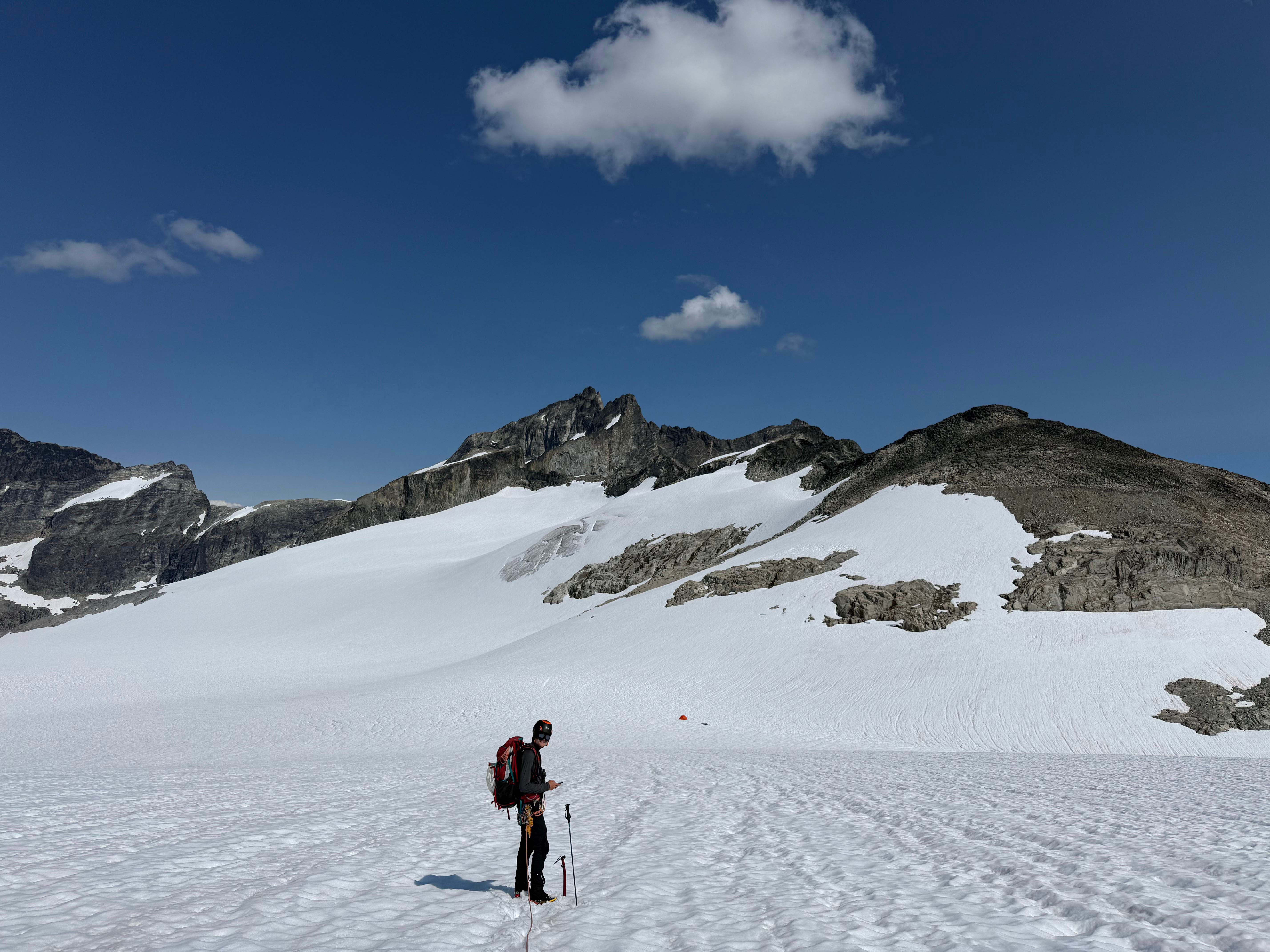
Almost back to camp
We were back to camp 9 hours after we had left it. We had decided to move camp to just below Easy Mox to save time for the next day. We had scoped out the spot from the summit of Redoubt, so we knew it looked good.
We packed up camp and roped back up to head down the Redoubt Glacier. We followed the bootpack from the other group, who were evidentally also heading to Easy Mox.
The bootpack eventually cut across below a rocky ridge, which was roughly what I had expected. We saw the other groups camping equipment nearby on a rock, so we knew they were still on Easy Mox. At that point, we headed back up and towards our intended camp spot.
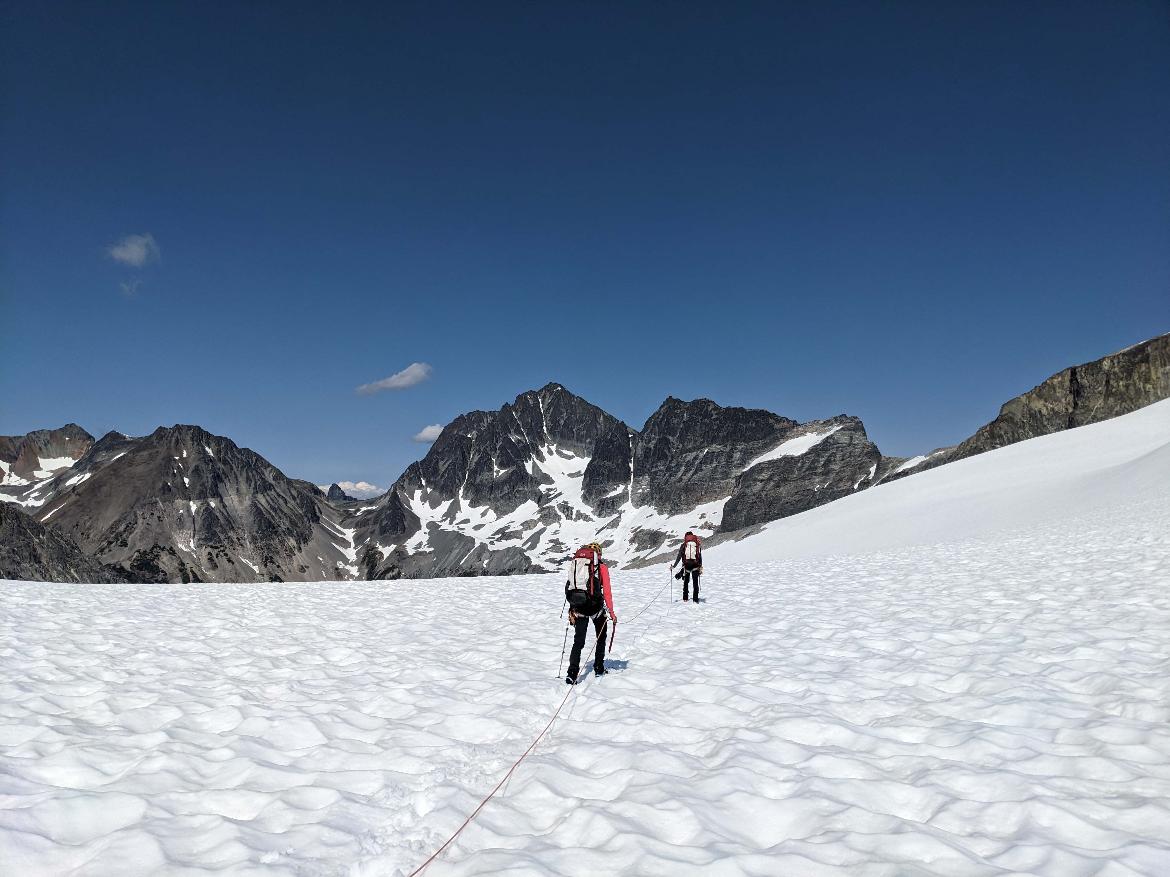
Headed down the glacier
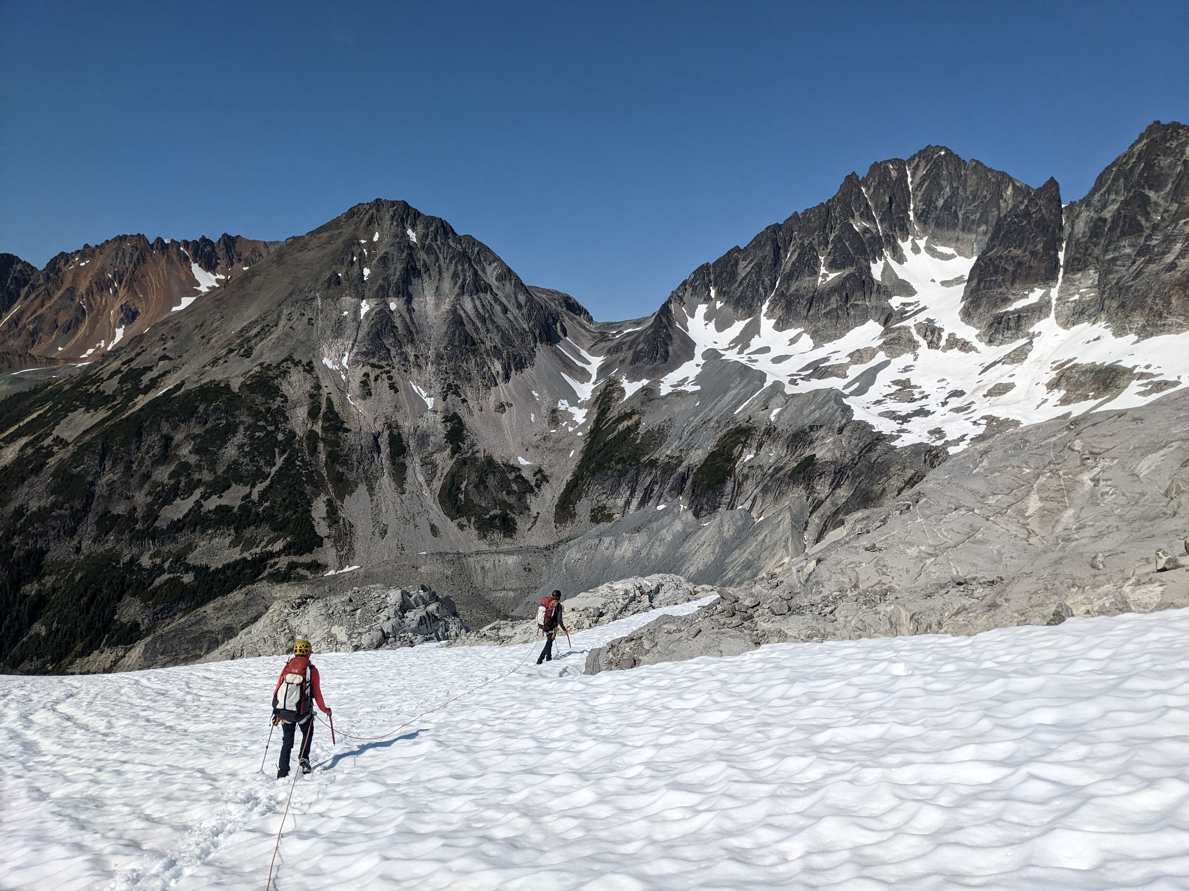
At the snow bridge across the rocky ridge
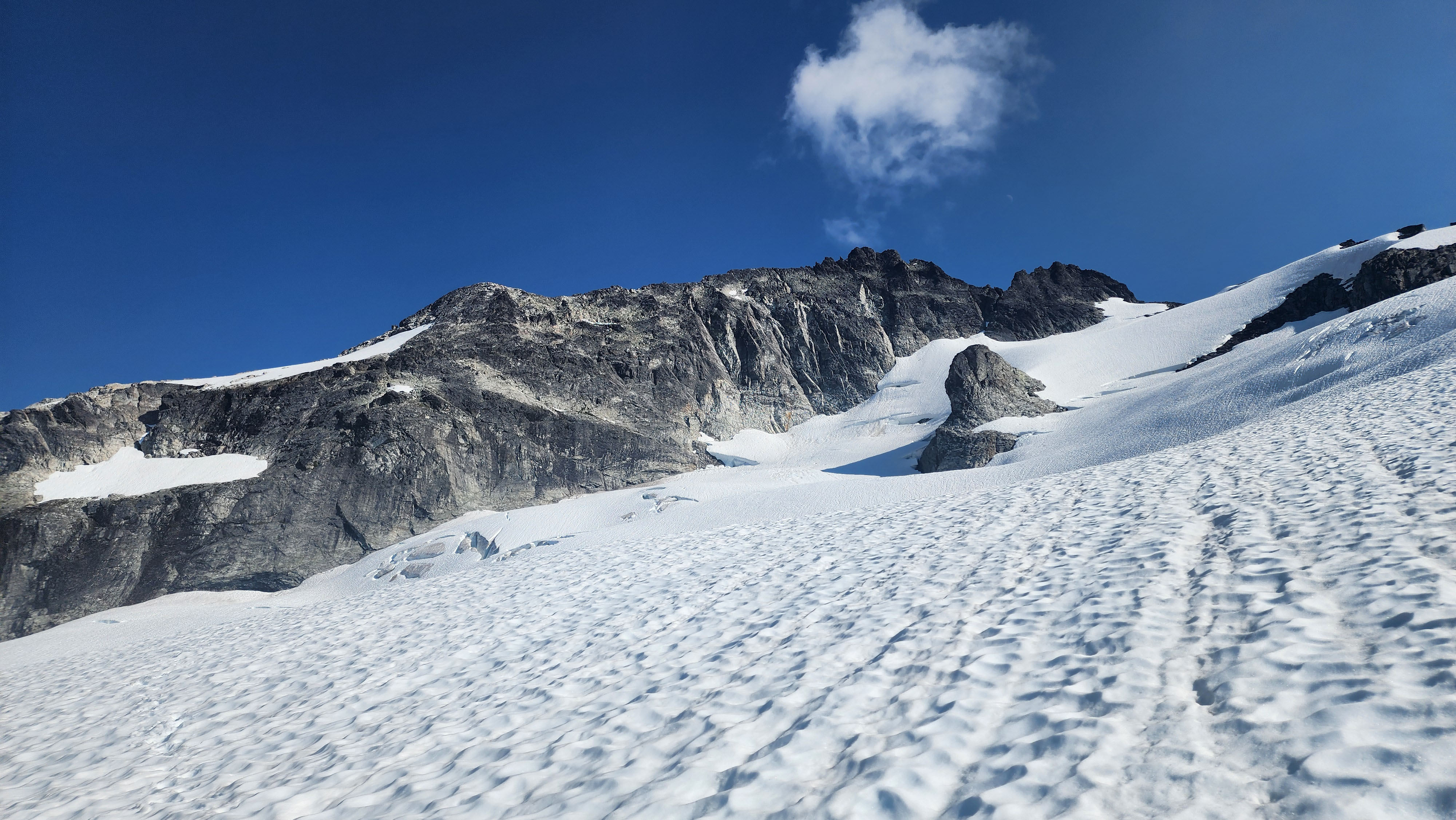
Looking up at Easy Mox from the Redoubt Glacier
We saw the other group up on the ridge of Easy Mox, still headed to summit. We found the flat spot we'd been eyeing at 7150', and checked it out. We figured it was best to camp on a little saddle versus in the hole, since we saw a crevasse in the hole. We knew it was unlikely there would be a crevasse on a saddle like that, but we probed out camp with our poles anyways. I also went over to check out the large crevasse just down slope from us. Once we were confident, we unroped and set up camp.
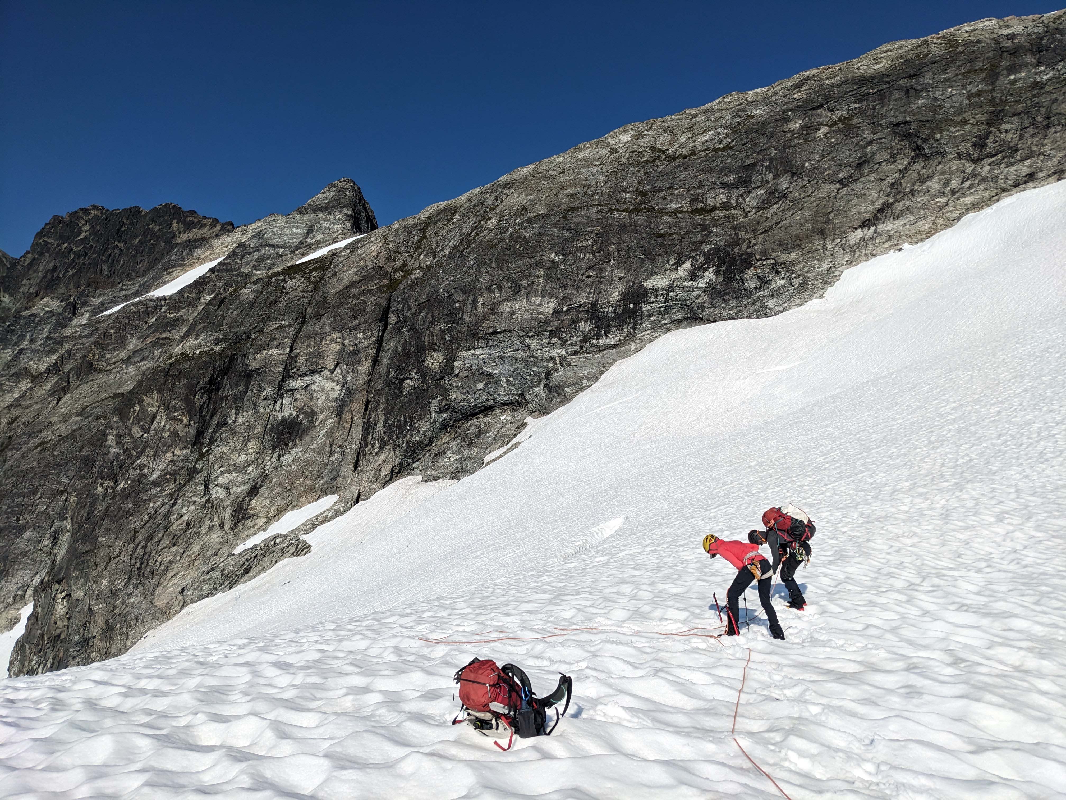
Probing around
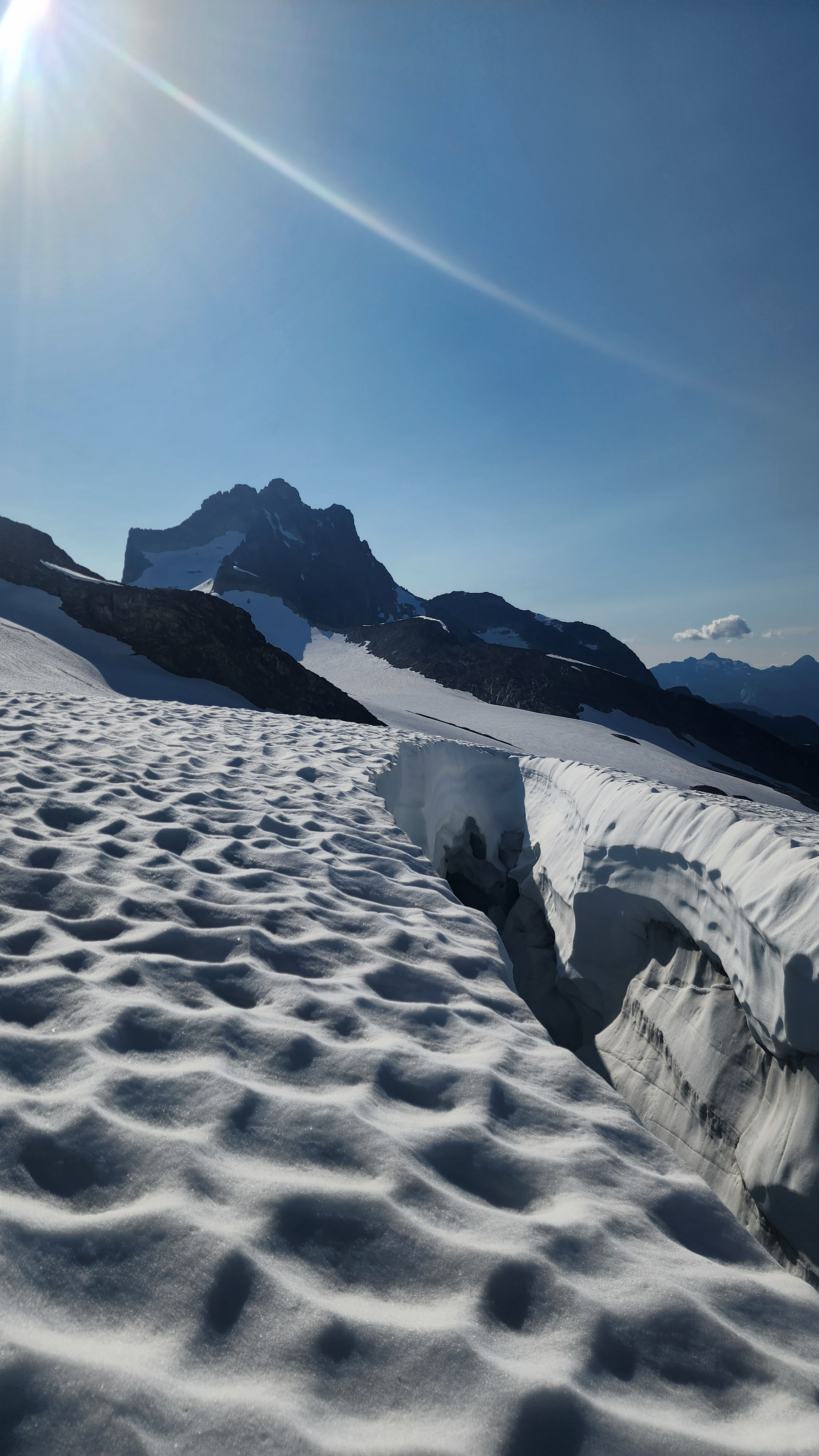
The large crevasse just below our camp

Our lovely camp
Our rope had a snare that had been getting worse over time. At this point, it was a total core shot. Fortunetly, it was only about 4m from the end. Since I didn't want to lead on that, nor did my partner want to follow on it, we cut off the 4m. This brought our rope down to 56m, which we figured was fine for Easy Mox.
Right before heading to sleep, the other group passed by our camp. They told us getting to the saddle was super sketch for them, as it was wet and slimy, with limited places for pro. We figured it was probably fine, considering we had heard it was all easily free climbable from other reports.
Day 4
We awoke the following day a bit after 5. Our third partner was planning on staying at camp while we quickly climbed Easy Mox. We started off at 6:20 up to the rock wall guarding the saddle.
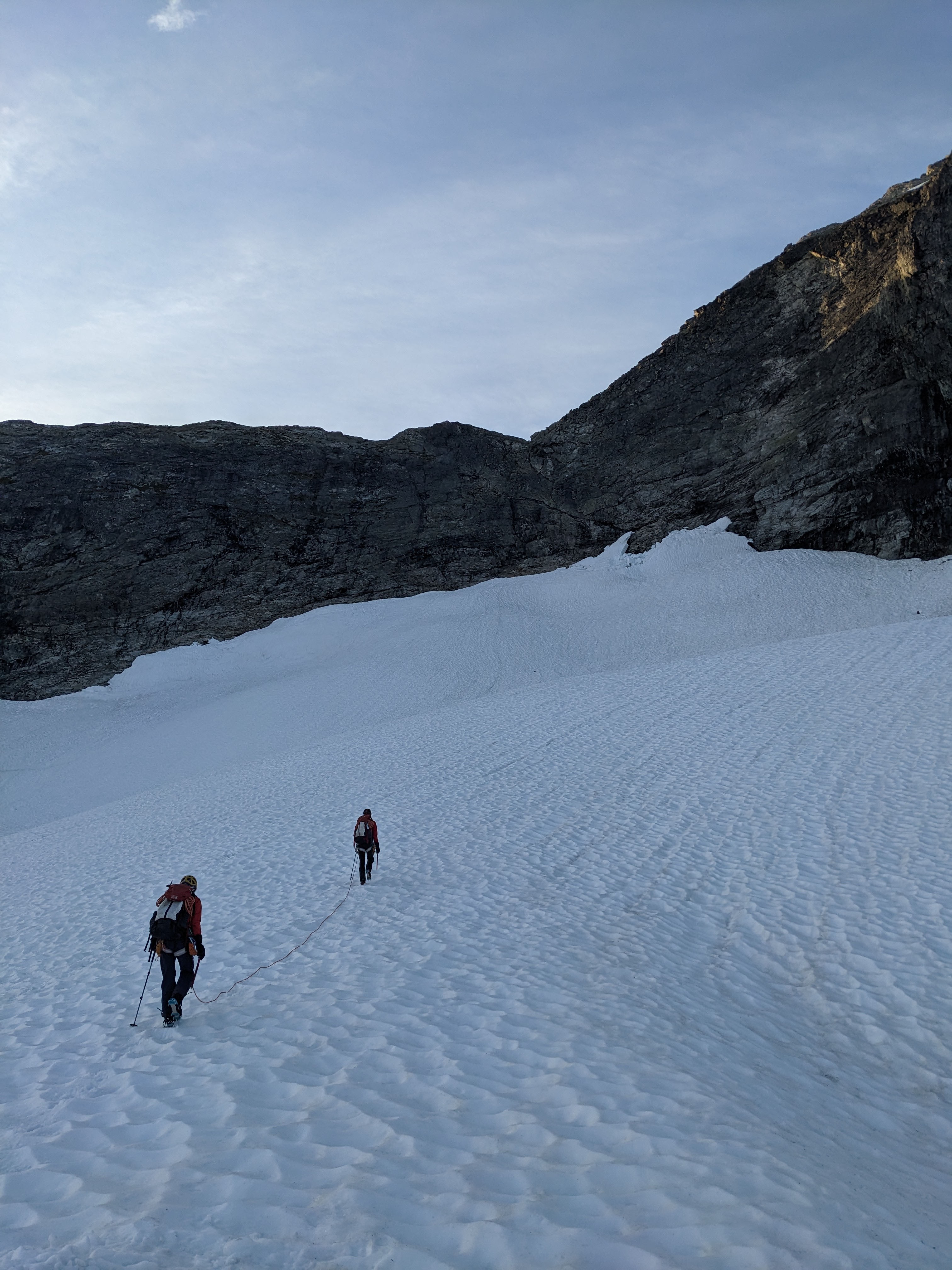
Headed up the final bit of the Redoubt Glacier
We crossed one small crevasse, but it was no problem. We made it to the base of the snow finger, where we considered our options. To me, it looked fine to just go up the finger, especially since we were on a glacier rope setup. So, I led up the finger, which was some light snow climbing. Once at the top, I braced myself on the rock and used my atc to belay up my partner.
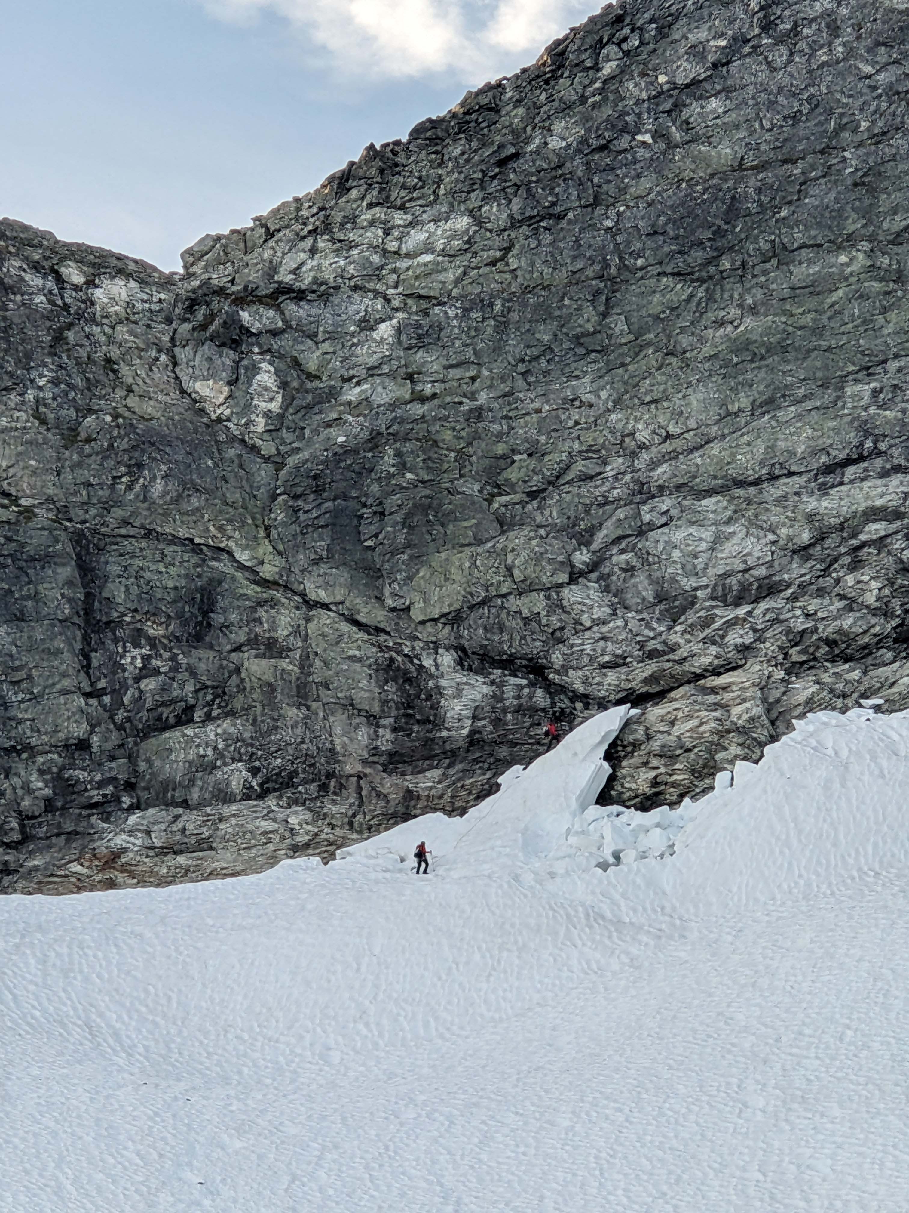
Me almost at the top of the snow finger
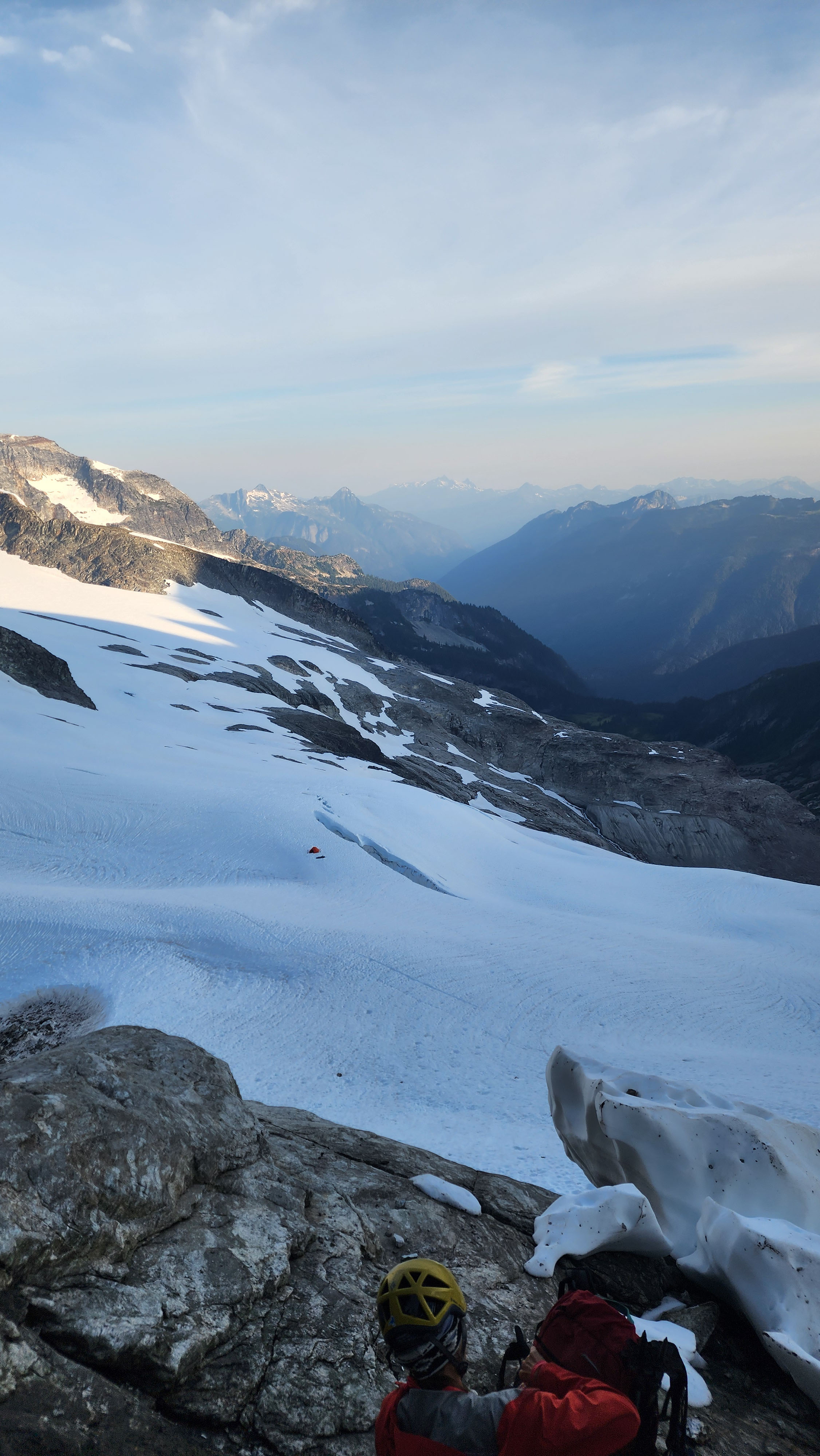
Looking back down at our camp by the large crevasse
We took off our boots and switched to rock shoes. We the ditched all our snow stuff on the rock. We could see what looked like the standard route to the left, but it was indeed wet and slippery as the other group had said. Instead, we opted to climb straight up to the rap anchor above. It looked easy enough, so I went first while free climbing.
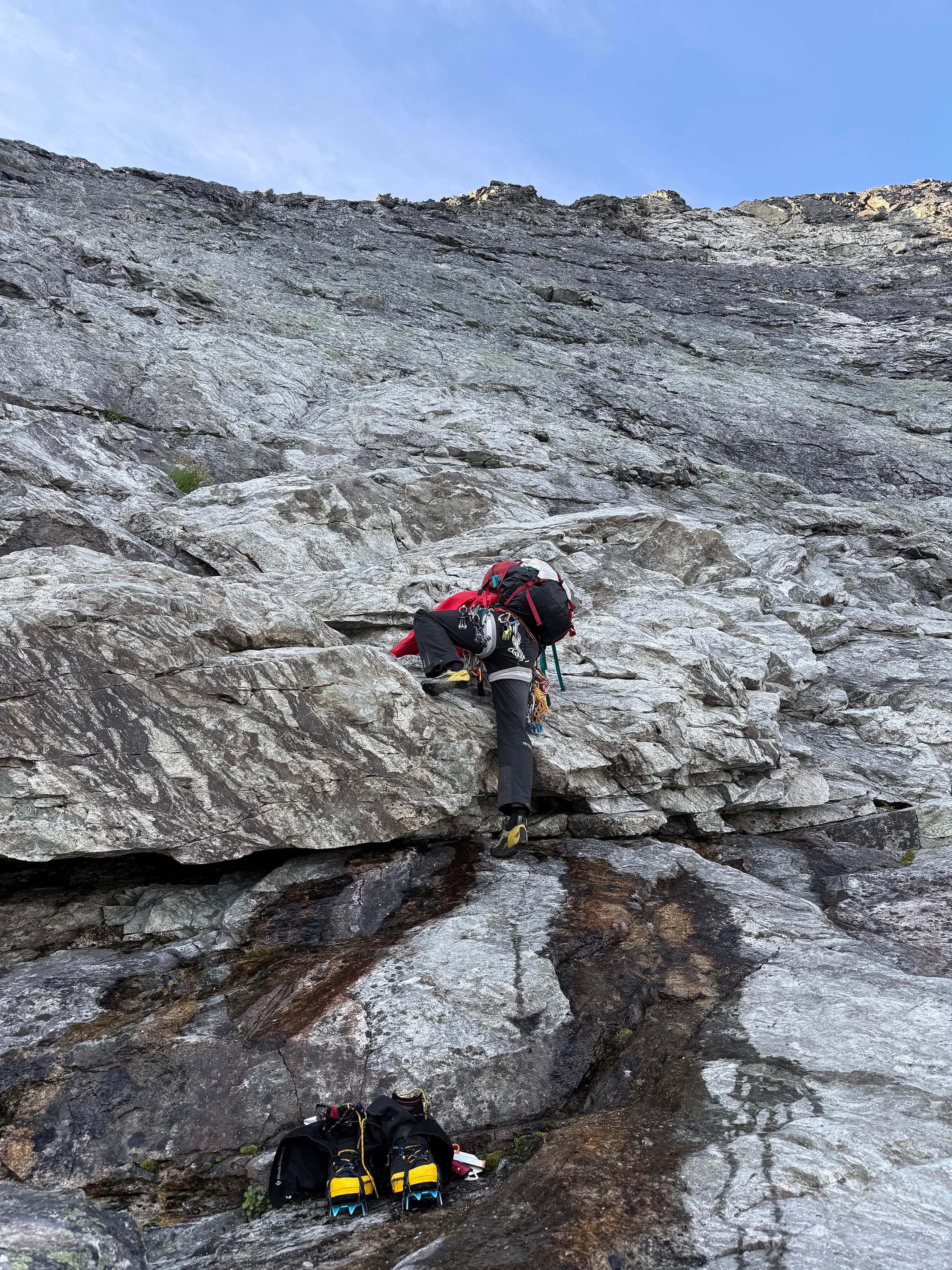
The first move onto the rock wall
I freed up to just before the anchor, which was 4th to low 5th, where I hit a crux. It was lethal exposure, and the move seemed quite difficult, so I opted to throw a #3 cam in the wall and PAS clip it. I completed the move, which was indeed quite difficult. Once above, I unclipped and left the pro for my partner. I knew they couldn't reach to take it out once above it, so I knew I needed to throw them on belay. I made it to the anchor, pulled out the rope, and set up a belay.
They clipped into the #3 while I threw the rope down to them. They got on belay, removed the piece, and climbed up to me.
Since we already had the rope out, we opted to do the 2nd pitch on belay. I led up and placed a few pieces, then reached the anchor. Nothing was abnove 5.3 throughout that whole section.
I belayed up my partner, then we put away the rope and scrambled to the saddle.
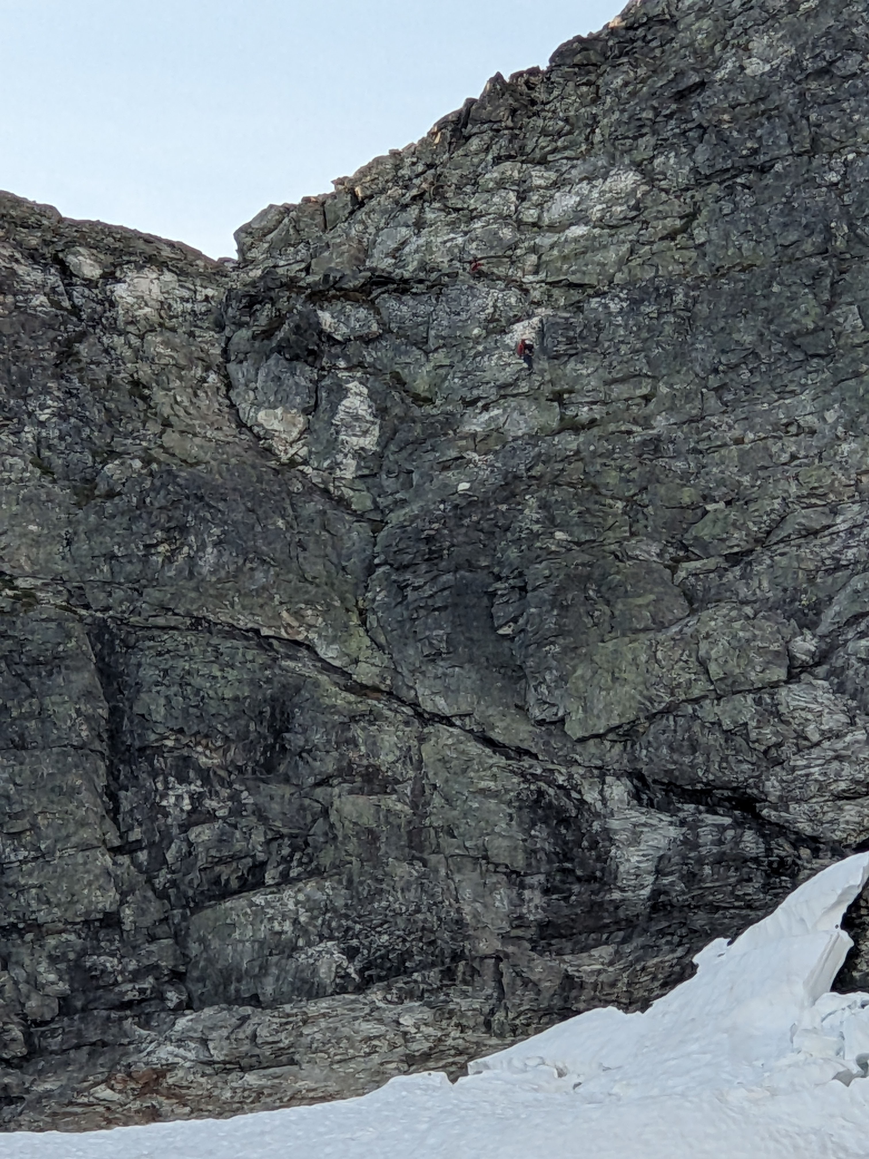
My partner coming up P2
We reached the saddle in just 1h 10m from camp. The route up the ridge looked easy, so we pulled out our poles and started walking.
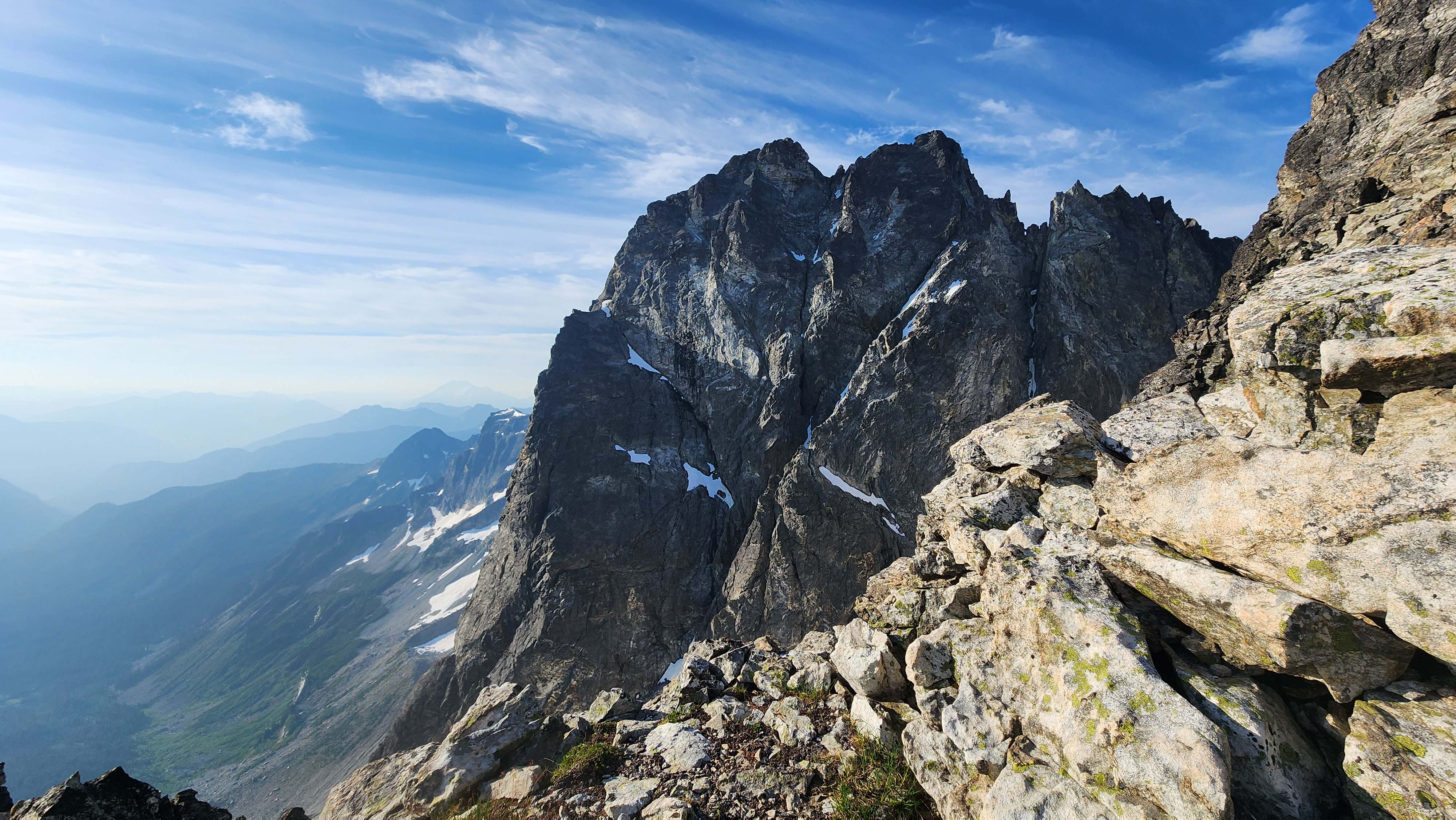
Hard Mox from the ridge
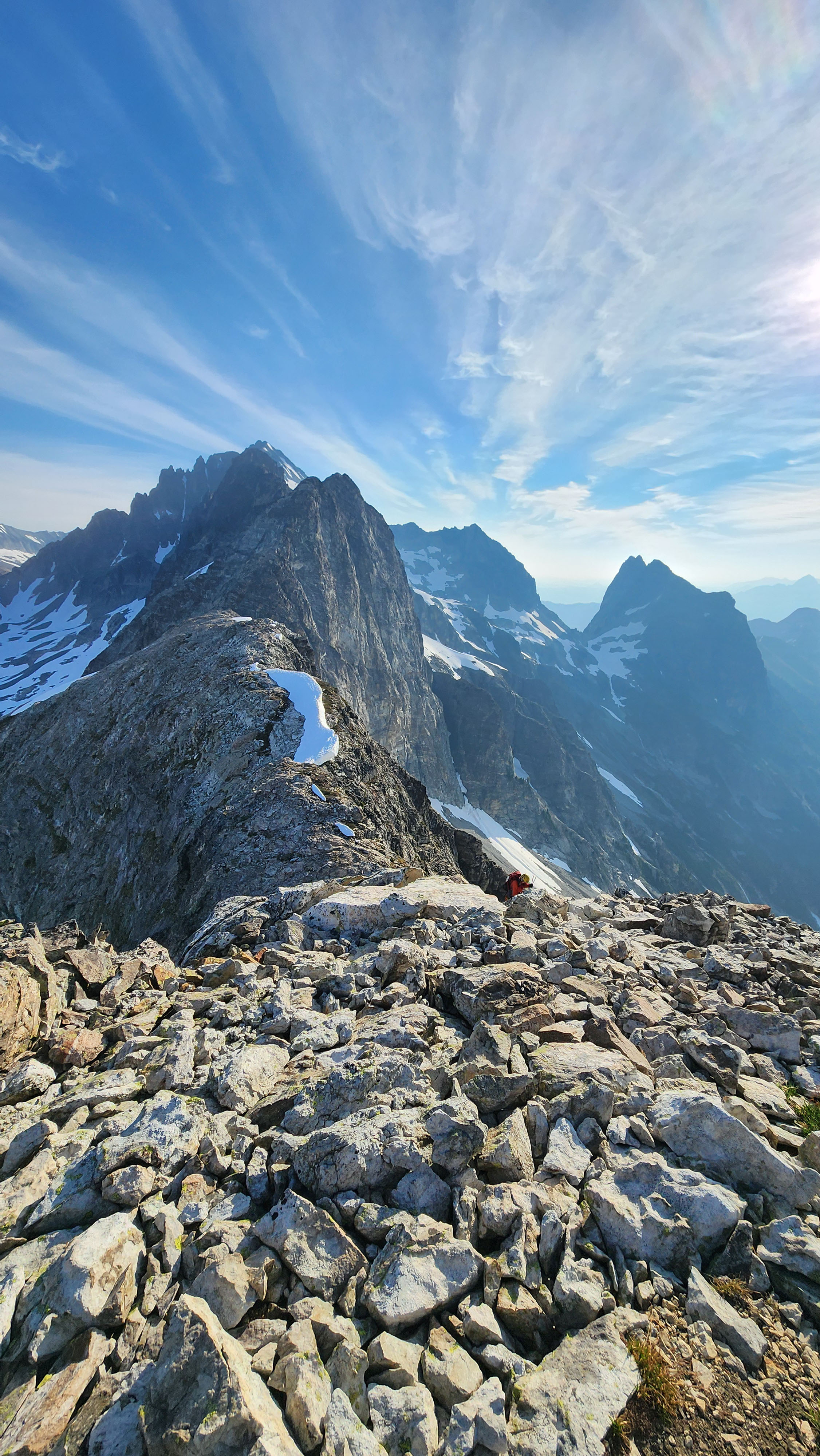
The ridge connects to Solitude and Spickard

Passing by the snowfield
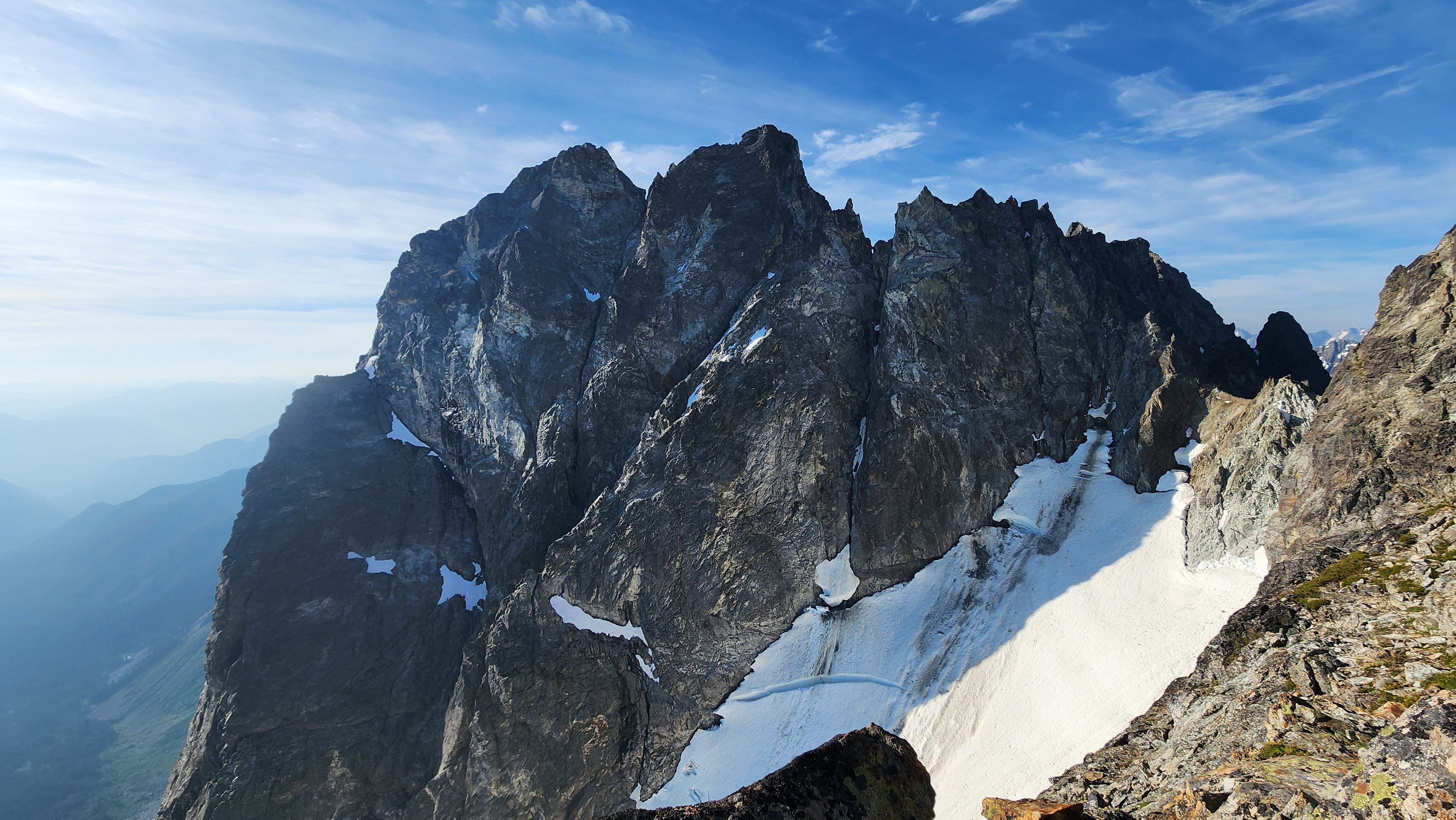
A more scary view of Hard Mox and the slot glacier
The ridge eventually became real scrambling, which went 3rd to 4th. We pretty much stayed right on the ridge the entire time, until we saw the summit and a cairn. At that point, we saw the route to drop down onto the south face.

Some real scrambling
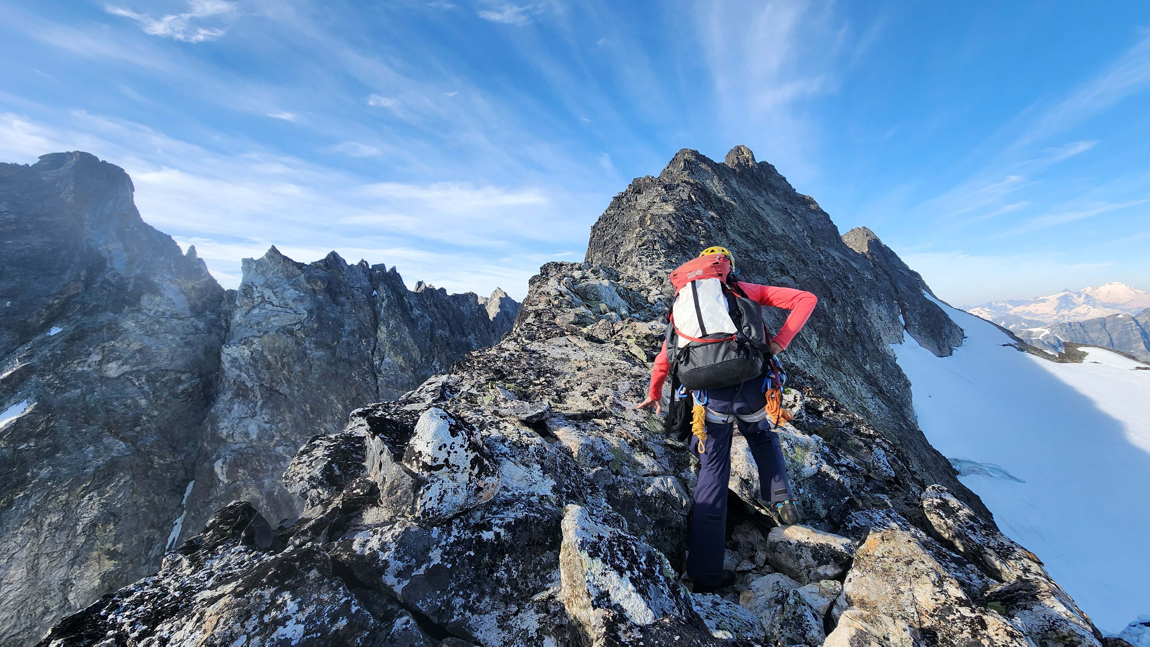
Lots of walking between each scramble section
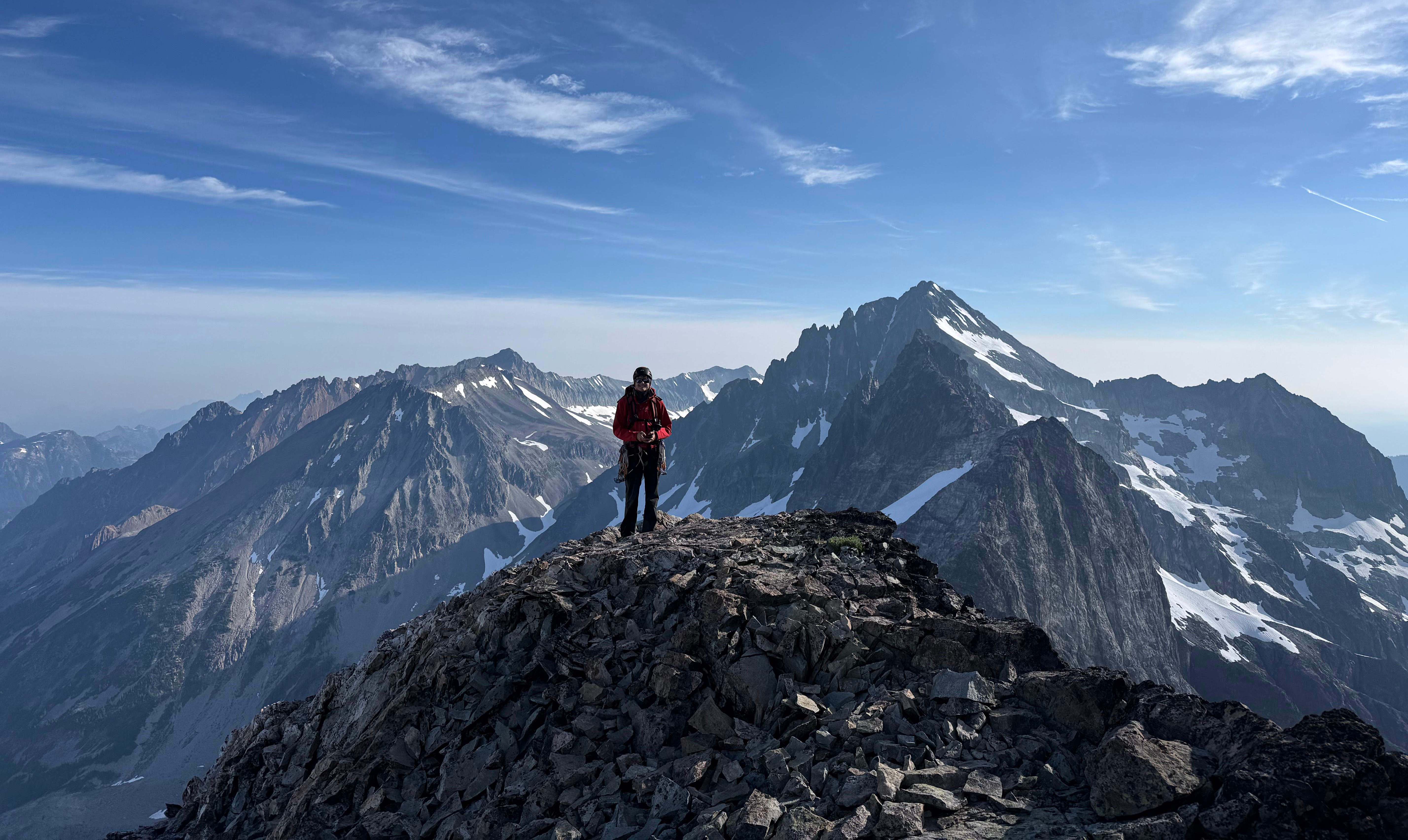
Me on a flat part of the ridge
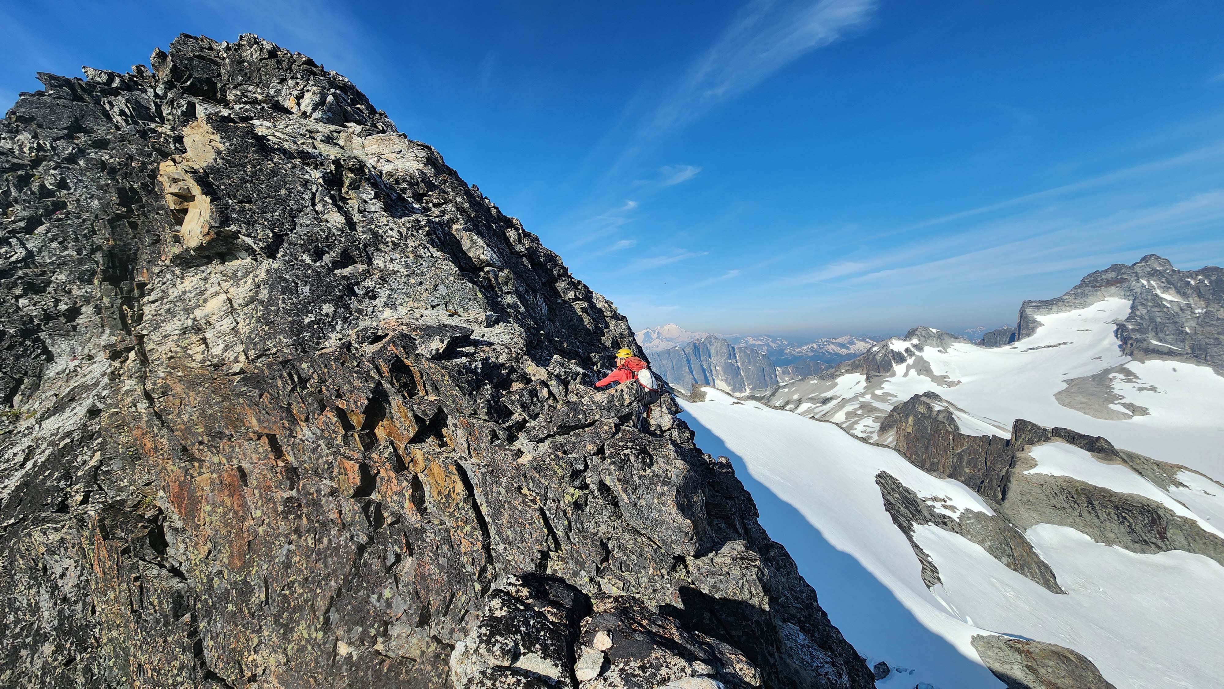
More fun scrambling, on solid enough rock
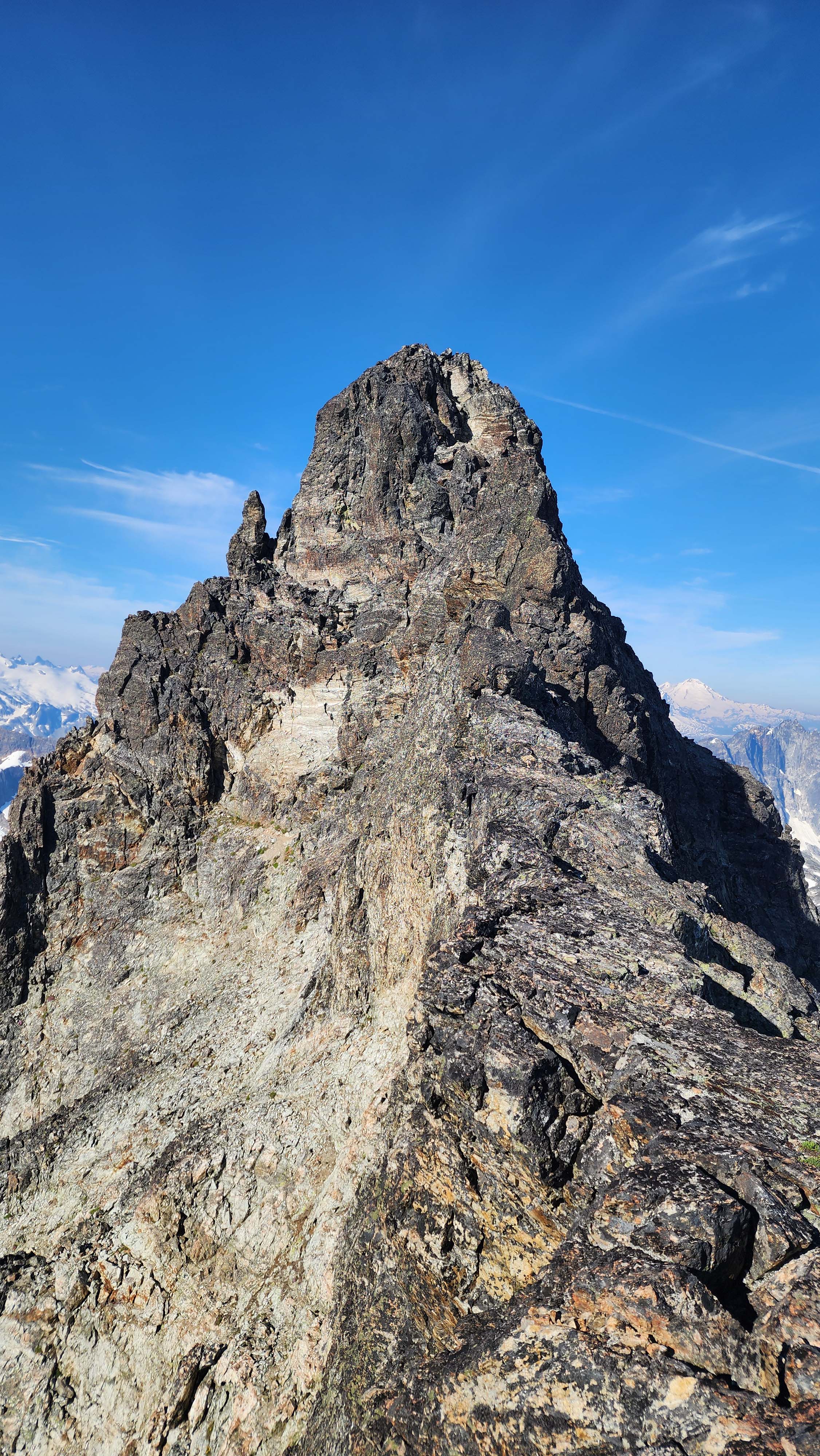
Finally able to see the summit; this was where we dropped down
The chute down was solid 4th class, but it went fine. We then followed the ledge to the start of the climbing route.
There was a nice belay ledge, though a little exposed, were I placed a cam for my partner to belay from. I had heard it was just one pitch of 5.6, so I wasn't really worried.
I climbed straight up from the ledge, and made it to what looked like the crux. I tried climbed around right to avoid the overhang, but that was too hard & chossy, so I bailed back down and removed my pieces.
I decided to just climb straight up, which was a little overhung. The holds looked incredibly loose, but upon inspection, they seemed quite solid. The moves were quite hard, and I'd agree with the 5.6 rating. However, it was a short section, and it brought me to a large ledge above. I had accidentally made the rope drag really bad again, so I hooked the rope onto a tricam while I free climbed up to search for the anchor.
I spotted the anchor just above, so I went back down to turn my single tricam into a 3 piece anchor, which I used to belay up my partner.
I headed up the next pitch as my partner belayed from the anchor I built. I placed a directional piece to make it safer and easier for my partner, then made it the rest of the way to the anchor.
My partner followed up the easy rock and we both clipped into the anchor.
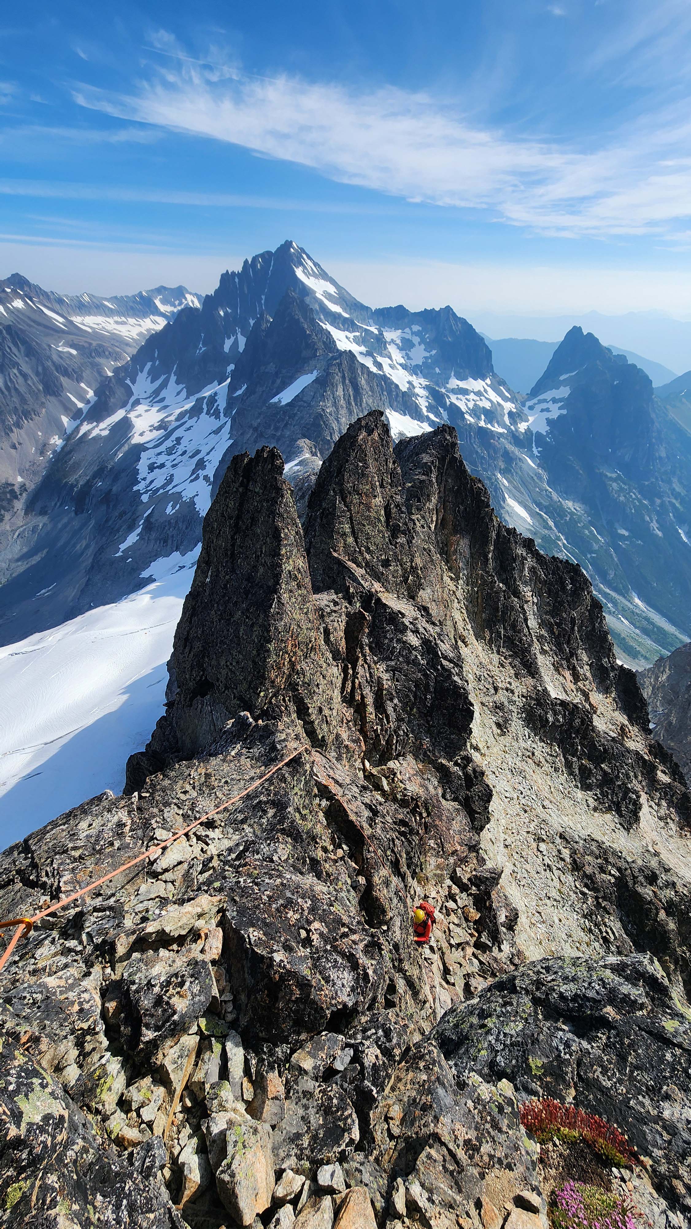
My partner following up the second pitch to summit
The last pitch looked easily free climbable, but my partner still put me on belay with the anchor as pro. The last pitch was just 4th class scrambling, so I did it without placing pro.
The summit had an anchor, so I used it to belay up my partner.
On the Summit of Easy Mox
We both made it to the summit, and I checked the time; 3h 16m from camp, so about 2 hours from the saddle.
We checked out the new Jake Register, which we had heard about being placed just a few weeks prior.
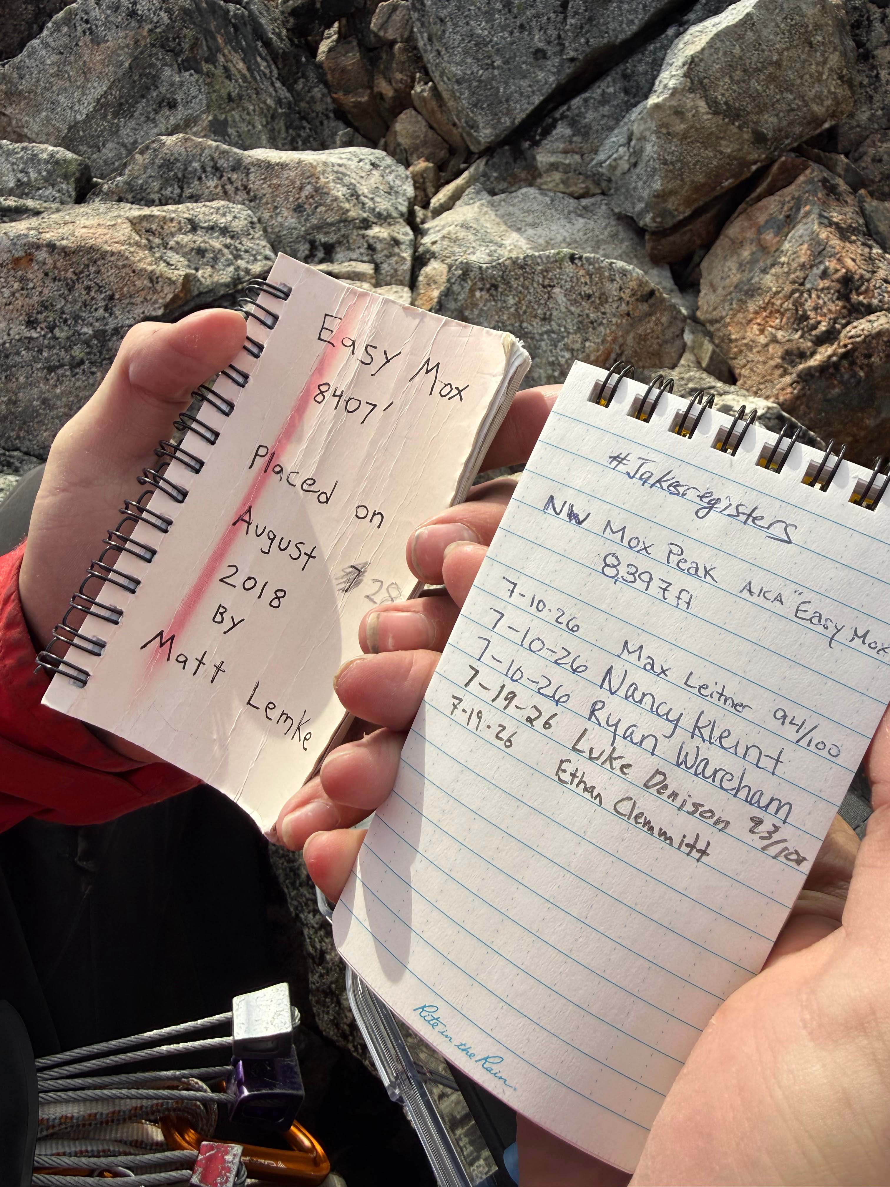
The old and new registers
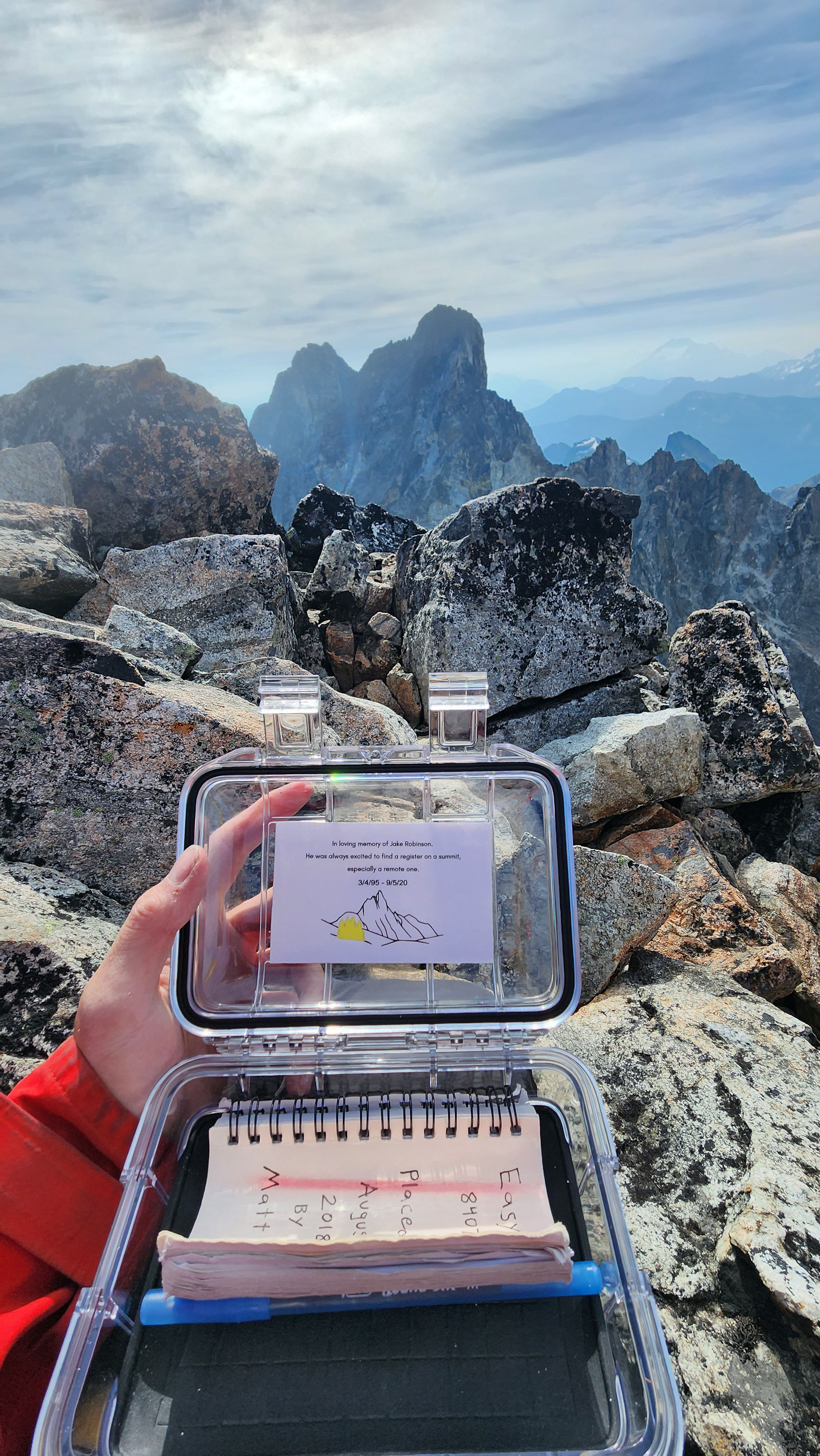
The new register container
This was already the second Jake Register I had seen, with the other being on Dorado Needle — for being a new thing people are doing, that seems like a lot to see already.
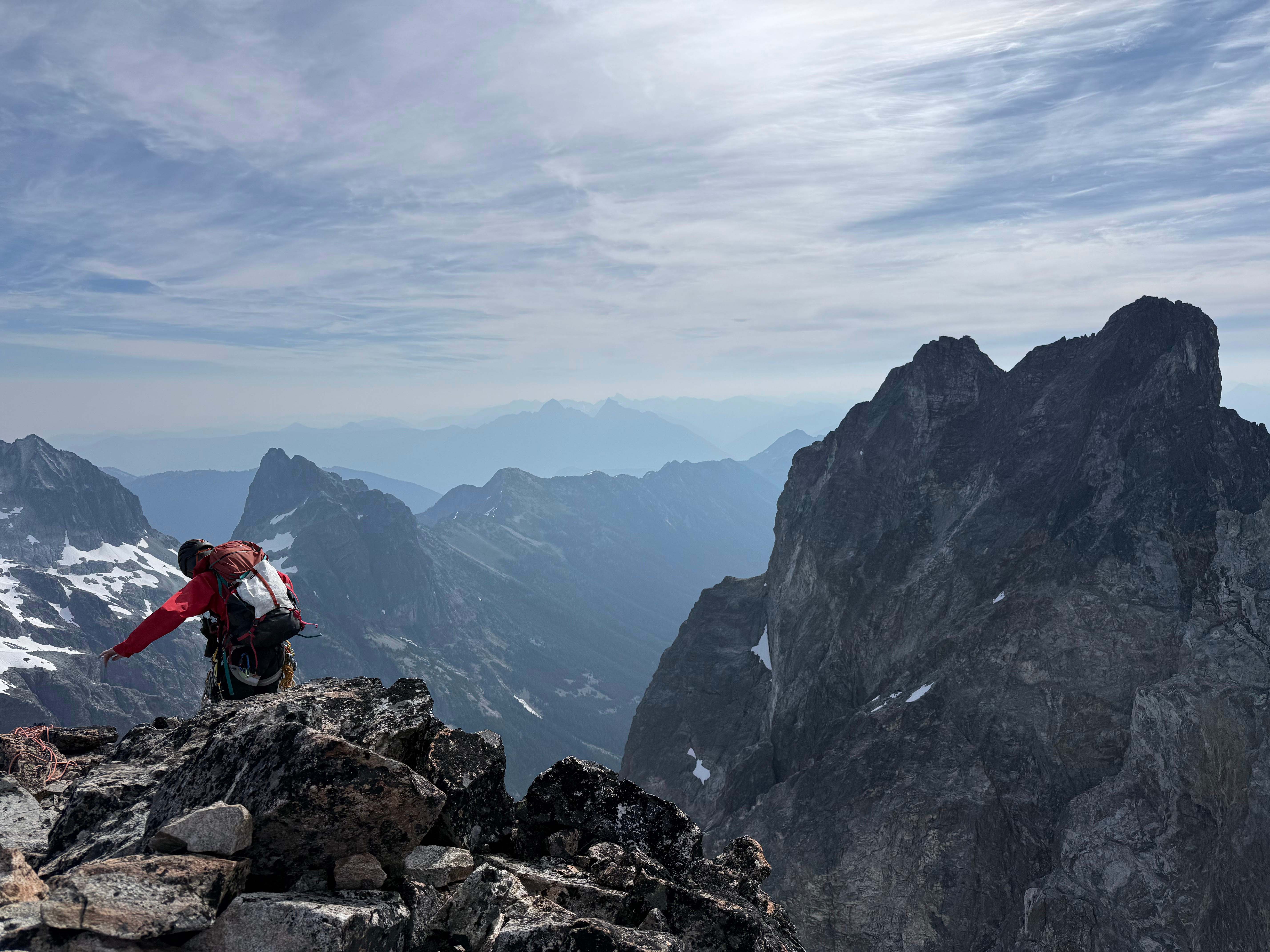
Hanging out on the summit
Descending Easy Mox
We took a nice food break on the summit before preparing to rap down. We added a new strand to the summit anchor, as the current two looked very old. I tried to cut out a very old strand, but I could only cut some, as a bit was wedged in deep.
We rapped down to the lower anchor, then did a second rap back to the original belay ledge.
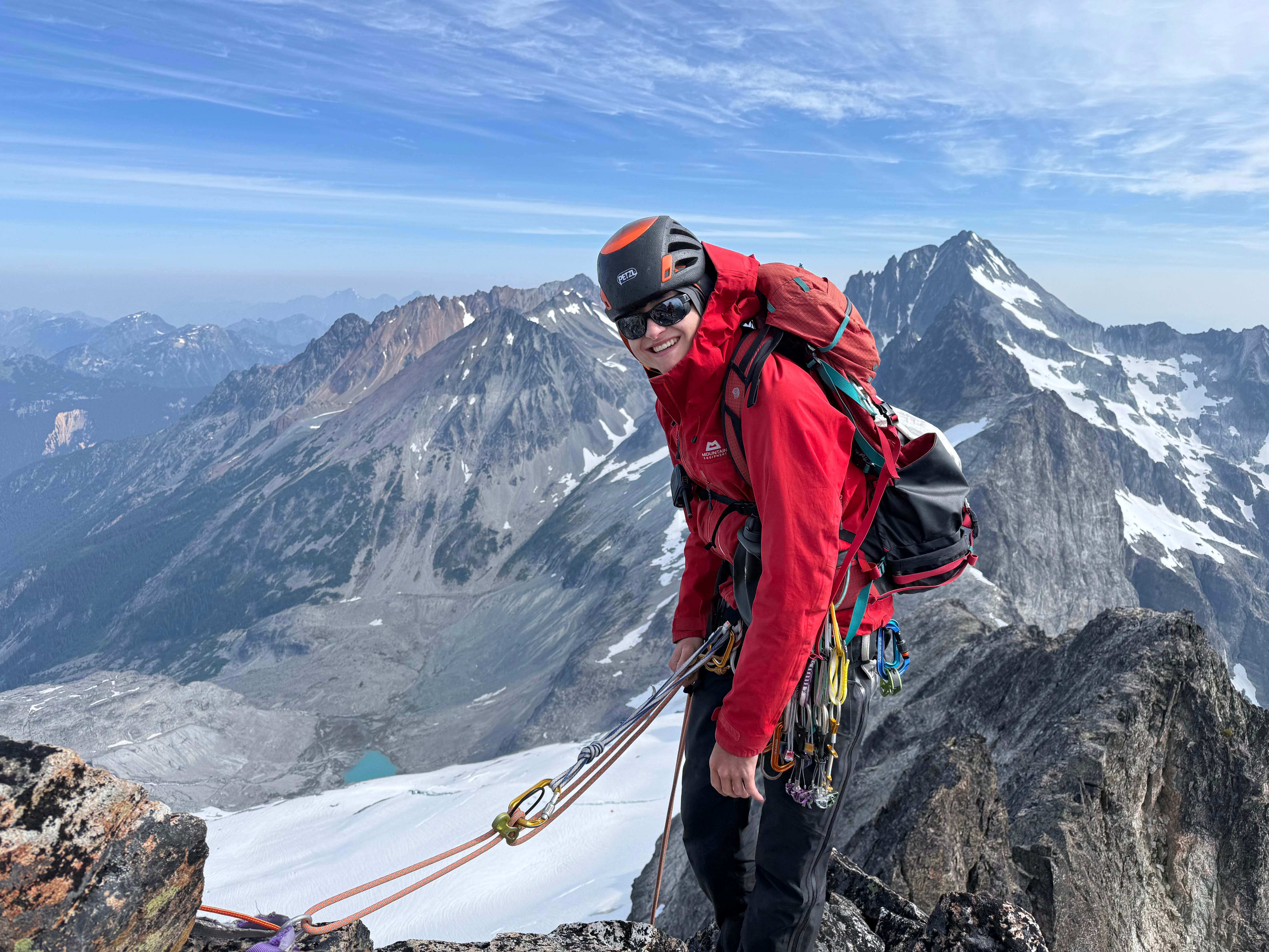
About to rap off the summit
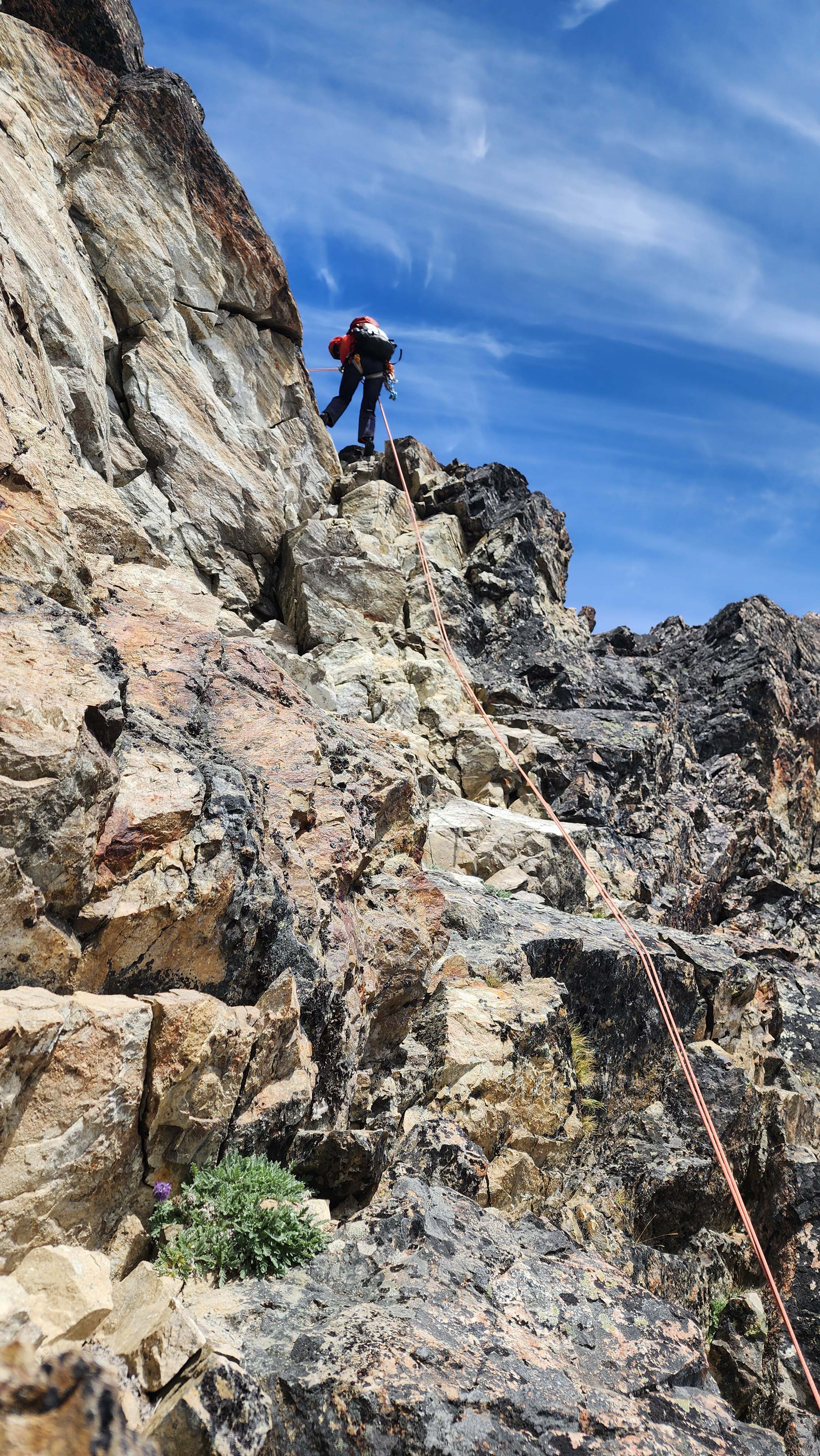
My partner rapping down the crux section
Once to the ledge, we retraced our steps back to the class 4 gully, and ascended it back up to the ridge.
Going down the ridge to the saddle was painless. However, once we got insight of our camp, my partner realized my bivy looked like it was gone. We thought that couldn't be possible since our other partner had been at camp all day, so we radioed them to check.
They got out of the tent to check, and reported it as missing. Apparently, they had been in the tent all day, due to unforeseen high winds. This seemed very unusual, as we had only been in light winds all day. It seems our camp got hit harder for some reason.
This was very unfortunate, but we saw something far down the glacier on route that looked like my bivy. We didn't remember seeing anything there, so we figured that must be it. Unfortunetly, our partner couldn't go to check as we descended, as they were surrounded by crevasses.
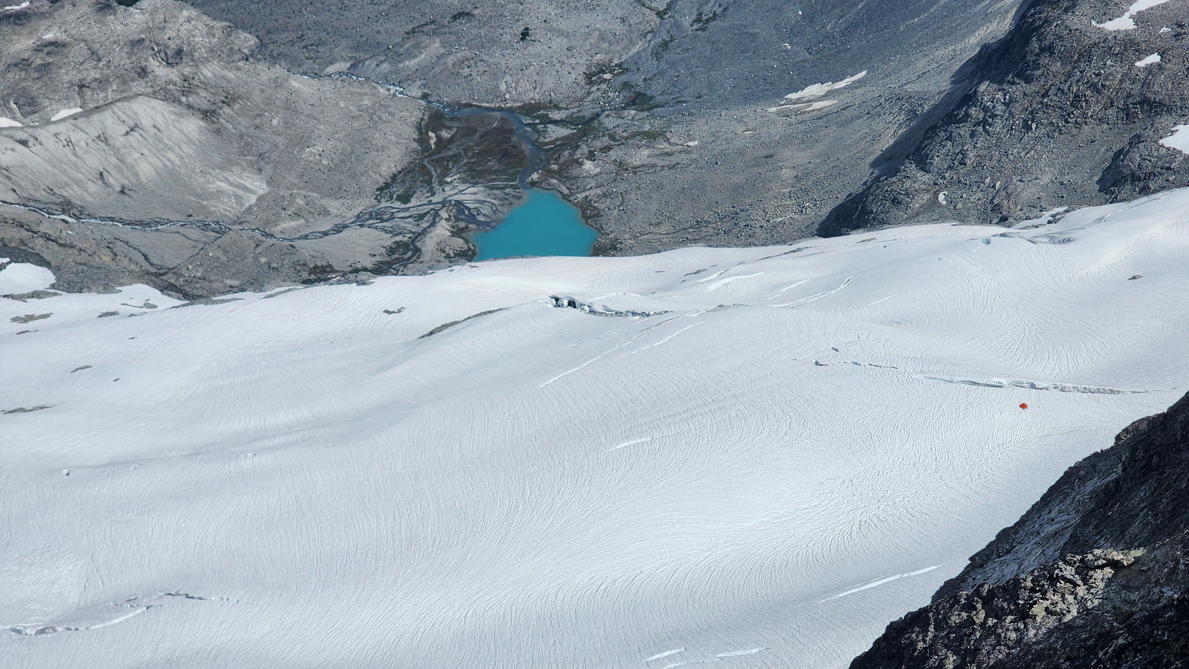
Looking down at our camp — notice there is no longer a bivy by the tent
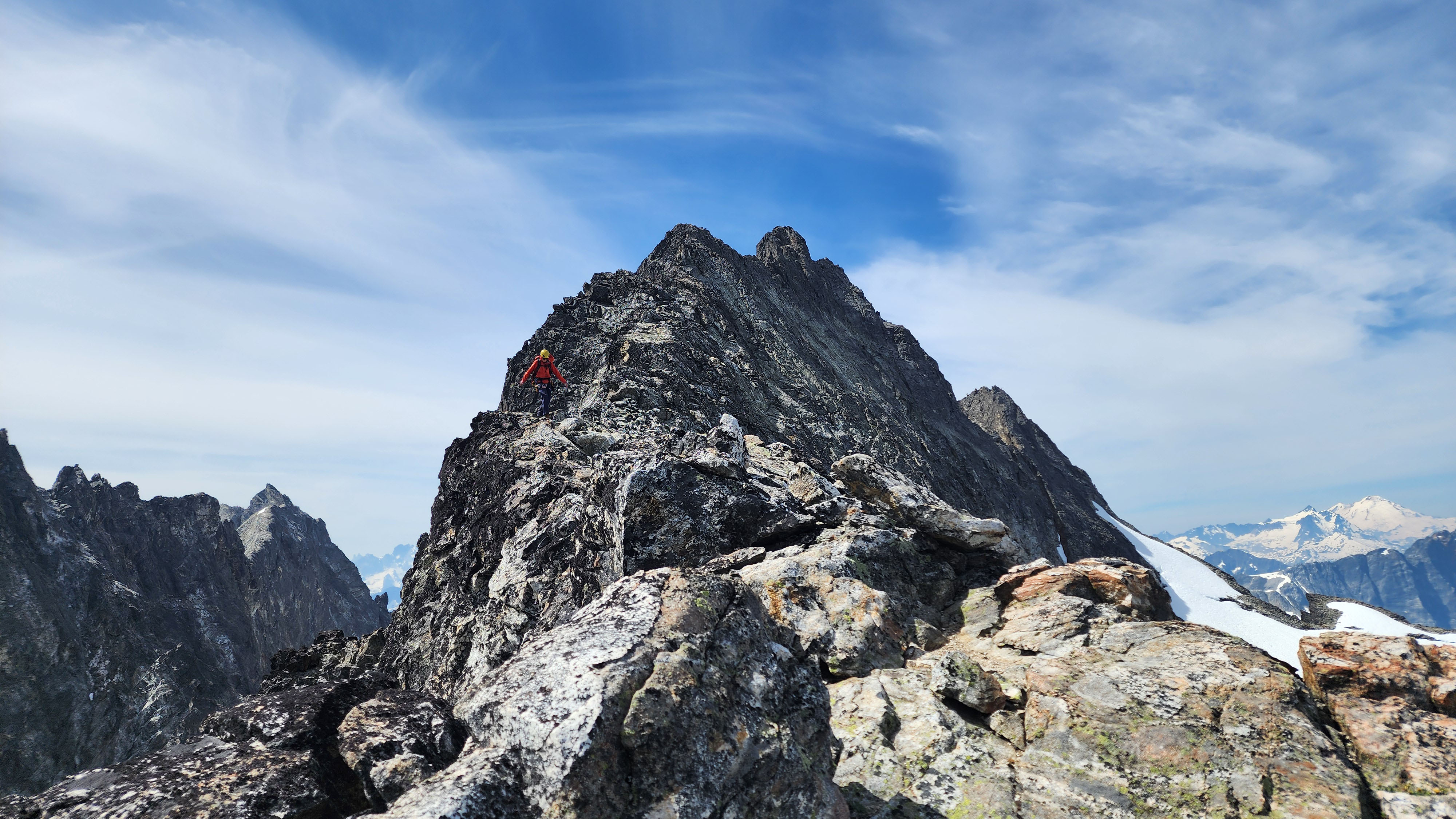
Walking down the ridge
We made it back to the saddle, and walked down to the upper anchor. We then did two raps to get back down to our snow tools.
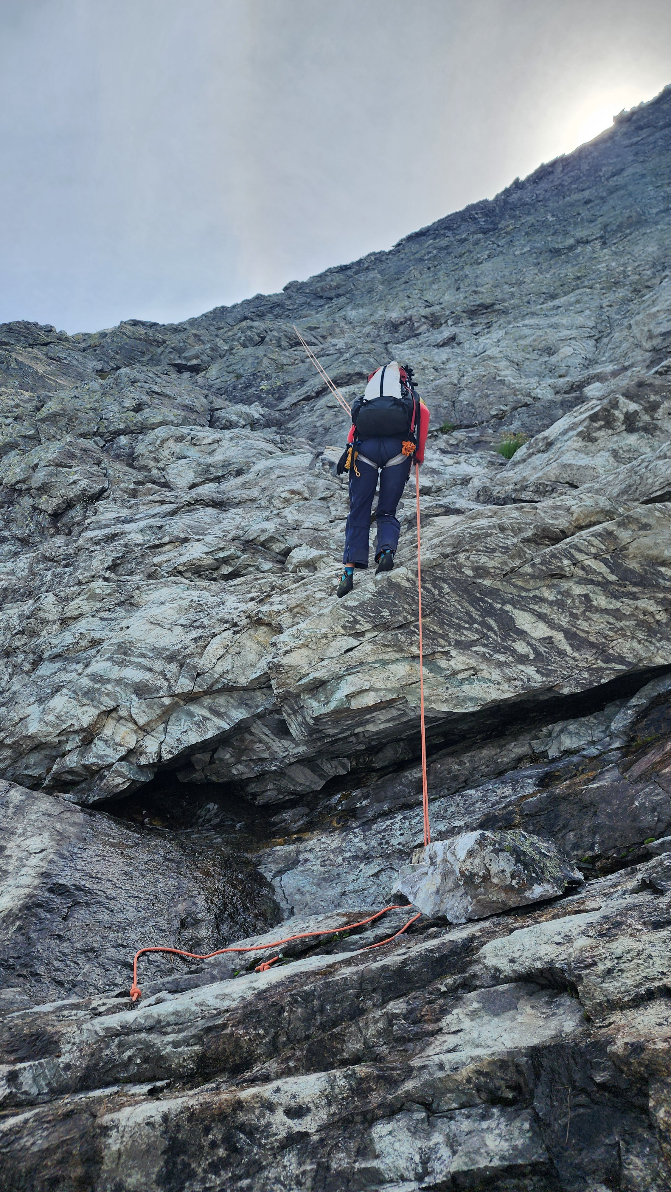
Rapping the last bit to our tools
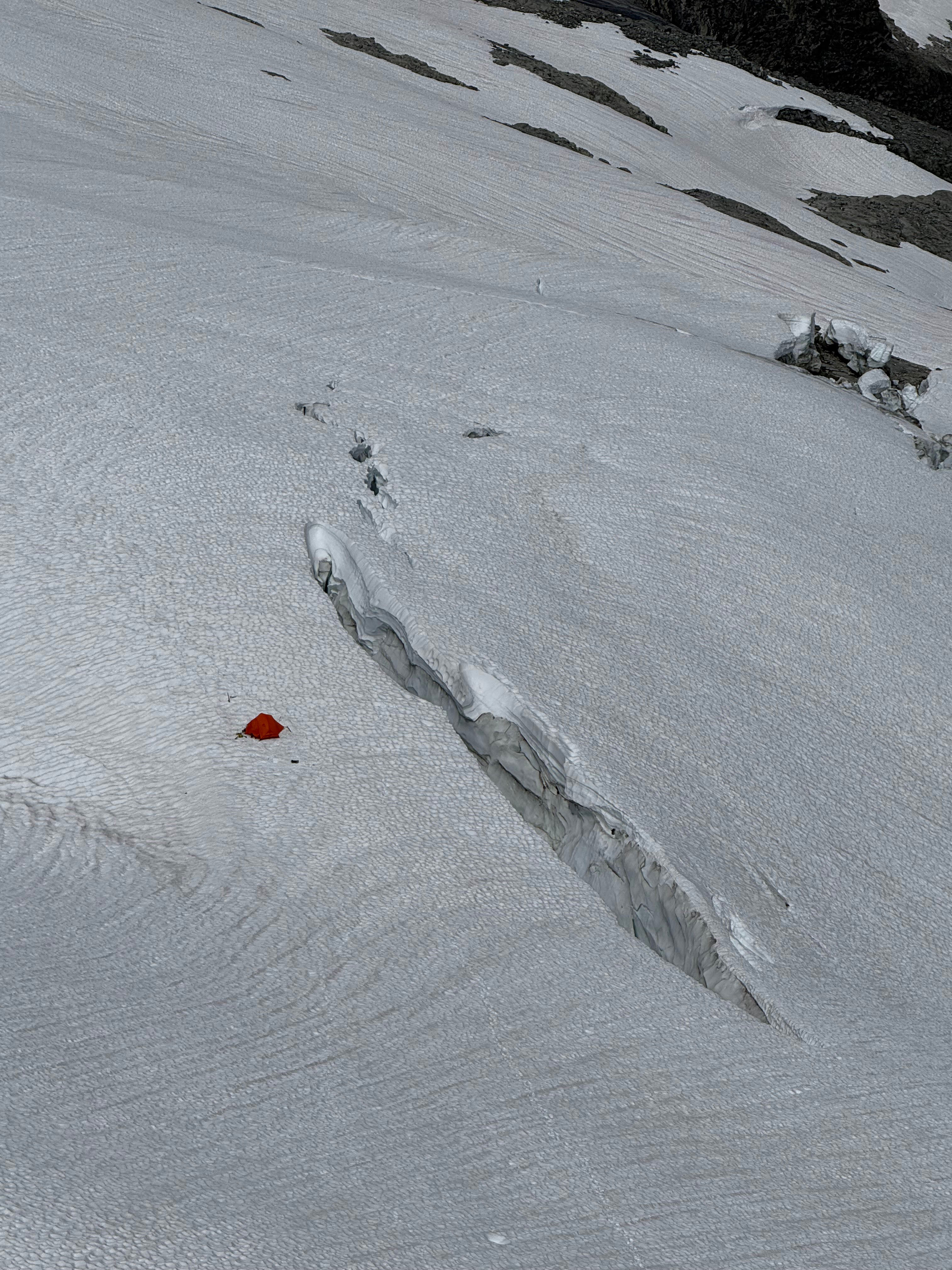
Definitely no more bivy
We roped back up for glacier travel, and I headed down the snow finger as my partner waited on the rock. My partner followed and we got back on the glacier.
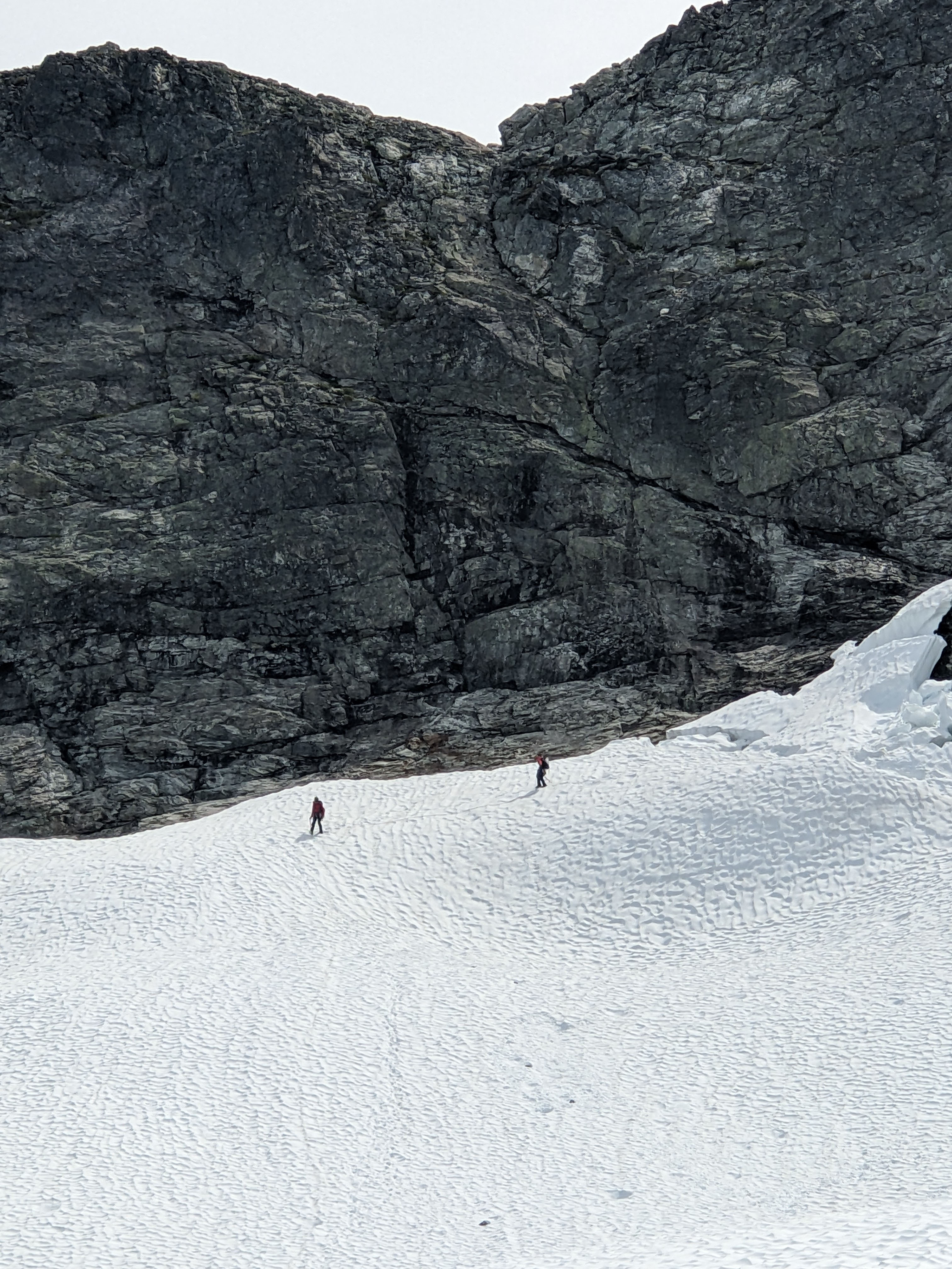
Back on the glacier
Bivouac Search and Rescue
We got back to camp to find nothing but my dug out camping spot left. However, my 3L dromedary bag on top of my z sit pad was still there, along with my blue bag (of course). My blue bag was being held down by the 4m of rope we cut off, which was attached to my bivy. So despite the bag being held down by nothing, it stayed put.
I really should've reset my snow stake in the morning, since the snow melted way more than expected overnight. Of course, I should also be deflating my pad to make my bivy less of a wind tunnel, but I'm always too lazy. Having someone at camp gave me a false sense of security.
I lost my bivouac, sleeping pad, sleeping bag, extra sunshirt & socks, 20k battery bank, extra mountain meal & other food, snow stake, and all my trash (including the 4m of rope). A total of over $1500 of equipment lost — by far my biggest gear loss ever, both size and value wise. I also just put a large mass of trash somewhere on the mountain, which was almost worse than the financial loss.
We still thought we had seen it just down the route, so we quickly roped up all together to go see if we were right. It didn't take long to get eyes on it, but it was nothing but a gray rock, almost the same size as my bivy. We backtracked back to camp to discuss options.
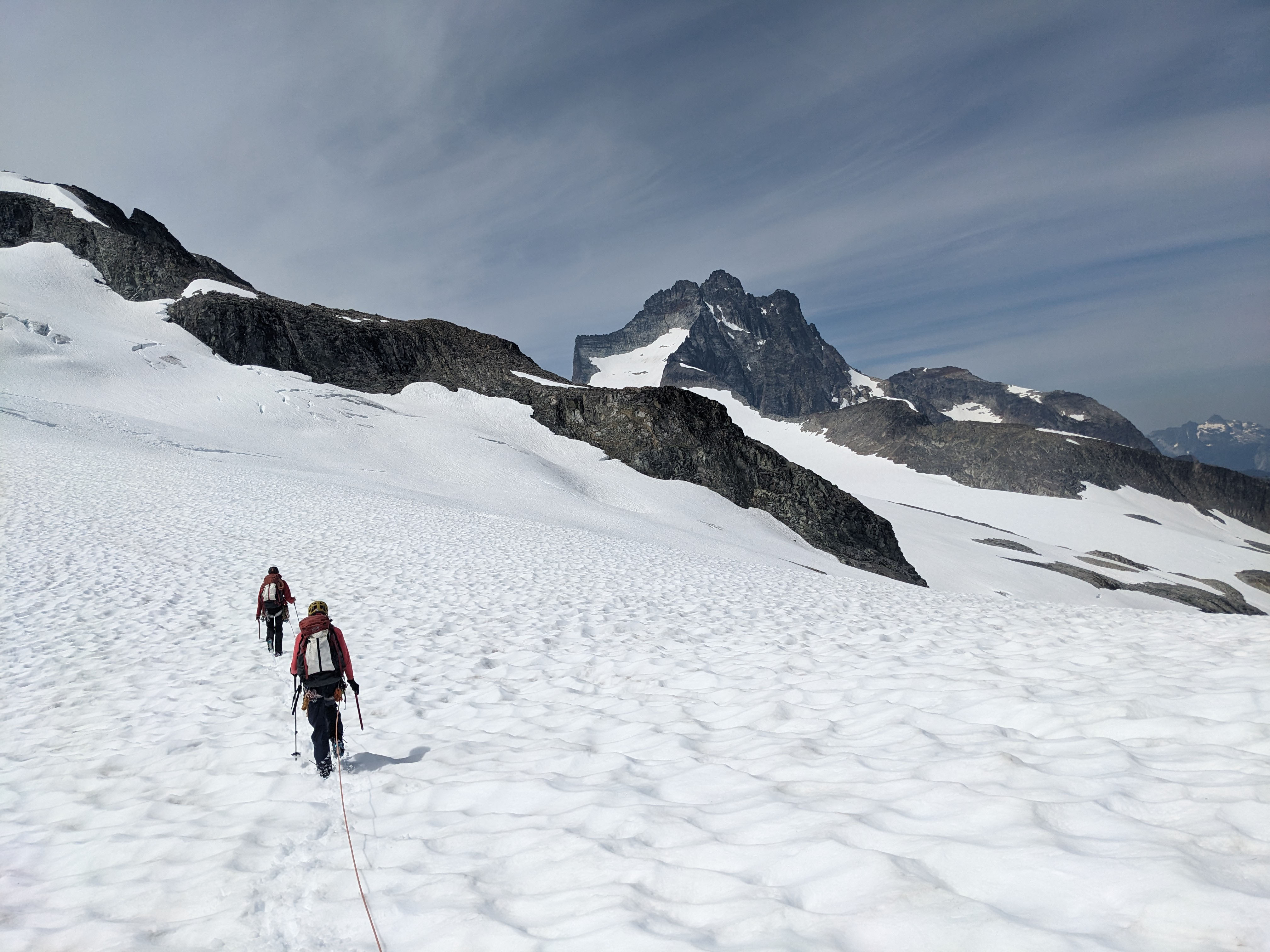
Headed across to the rocky ridge to check for my bivy
I figured the most likely spot would be in the large crevasse right by camp. So, I banged in our pickets and built an anchor. I rapped to the edge of the crevasse and peered over. The snow plug was not too far down, but I saw nothing on it. I walked the length of the crevasse while checking the plug, but no luck. It possible it fell below the plug, as there were some gaps; but if it did, it wouldn't be safe to rap down below the plug anyways.
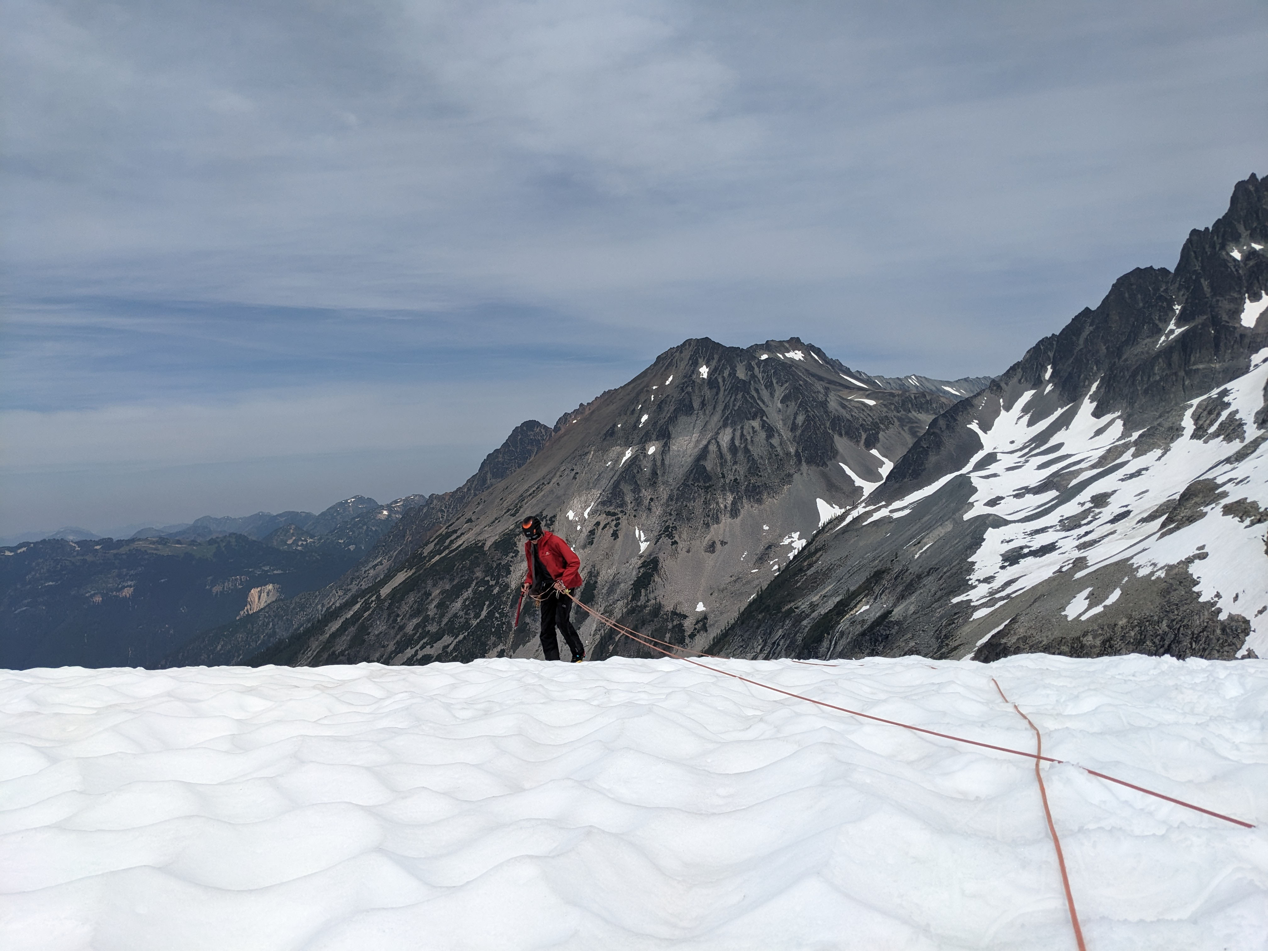
Walking the edge of the crevasse and looking down; a rare sighting of me tethering my axe
Since it didn't appear to be in the crevasse, we figured it must have jumped the crevasse. Our intended route straight down to the lake covered the exact place it would've blown, so that worked perfect.
We roped back up and went high around the large crevasse.

The large crevasse
We headed down the slope as we all looked everywhere for my lost bivy. It didn't take long to get off the glacier, at which point we knew it was very unlikely to find my bivy.

A cool part of the glacier
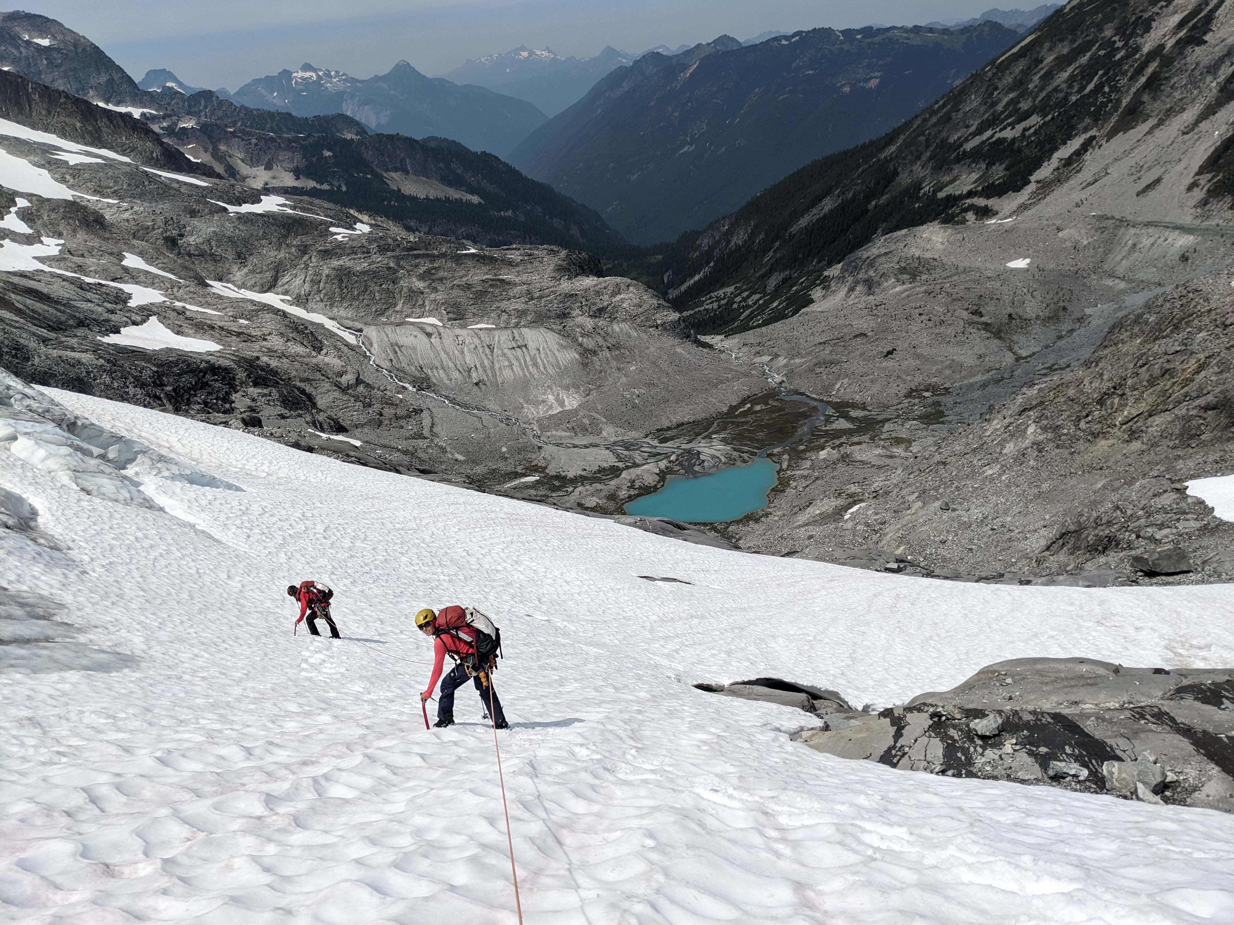
Our last partner holding us mid-step for a photo; worth it though
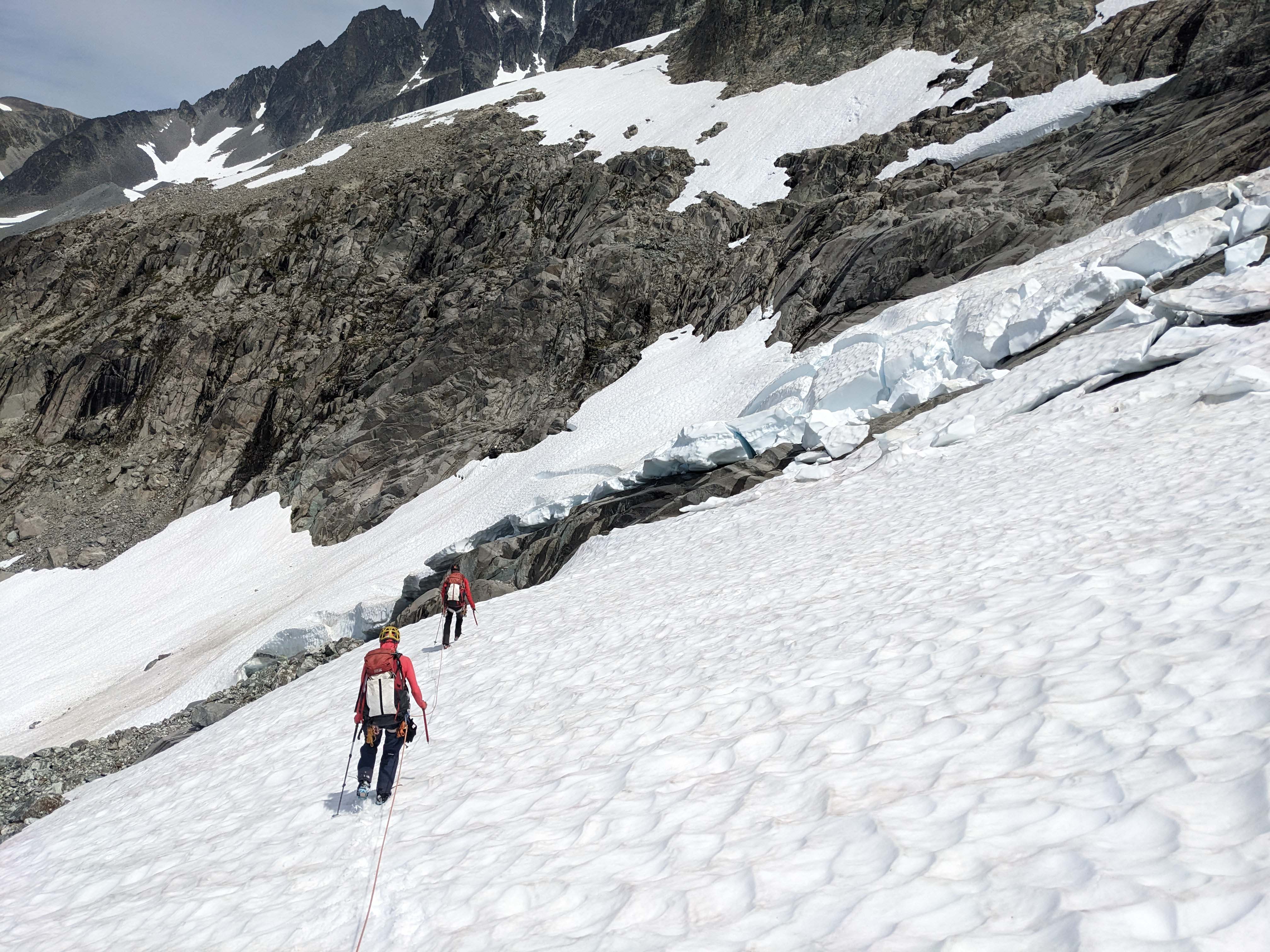
Getting off the glacier
We got off the glacier, and walked down a bit before taking off the rope. I packed the rope, then we all took off pons and headed down the rock. There was a bit more snow, but easy enough to walk down. We took the route to the right of the creek down to Lake Ouzel.
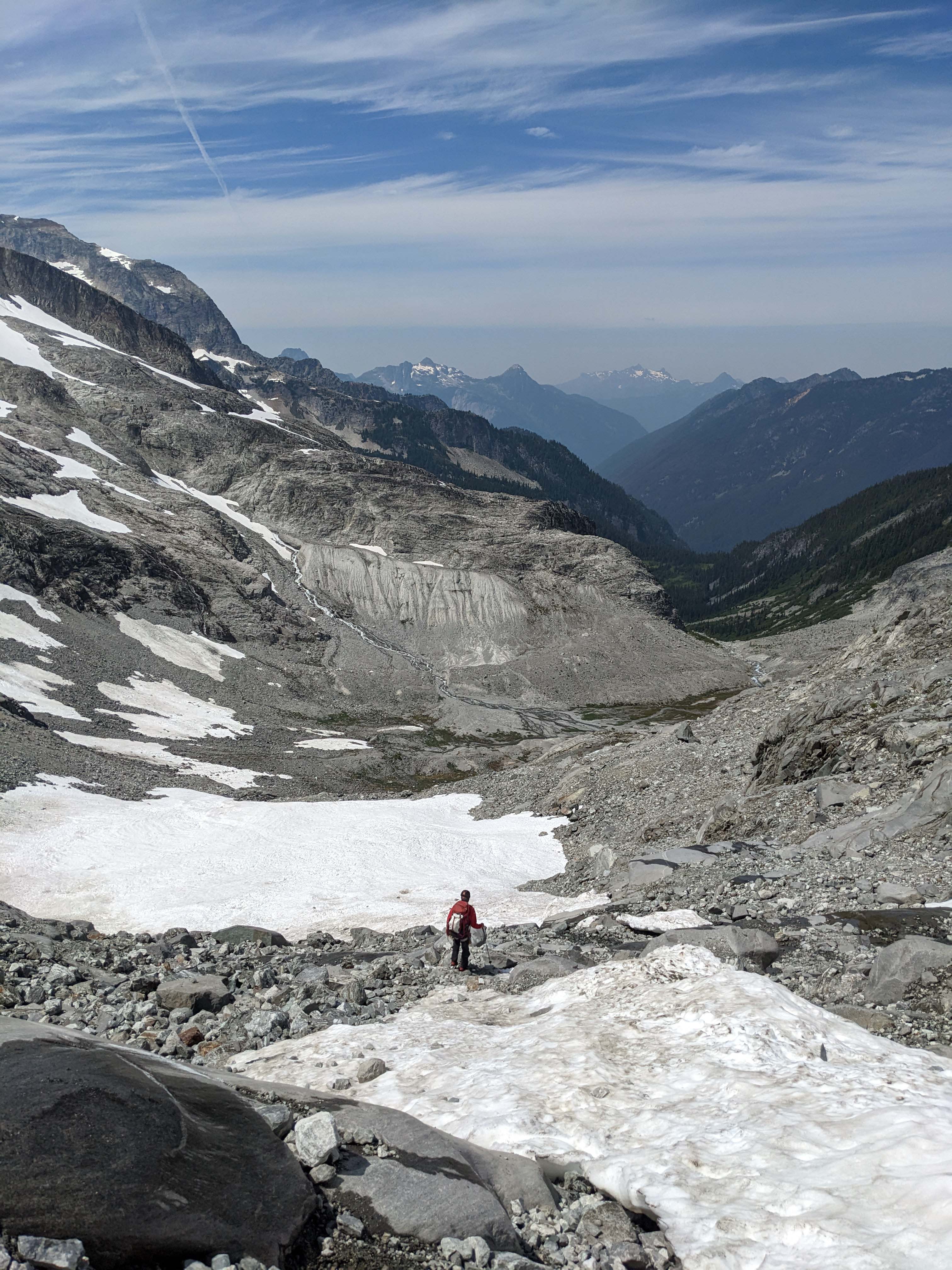
Headed down to the lower snow section

On the rocks
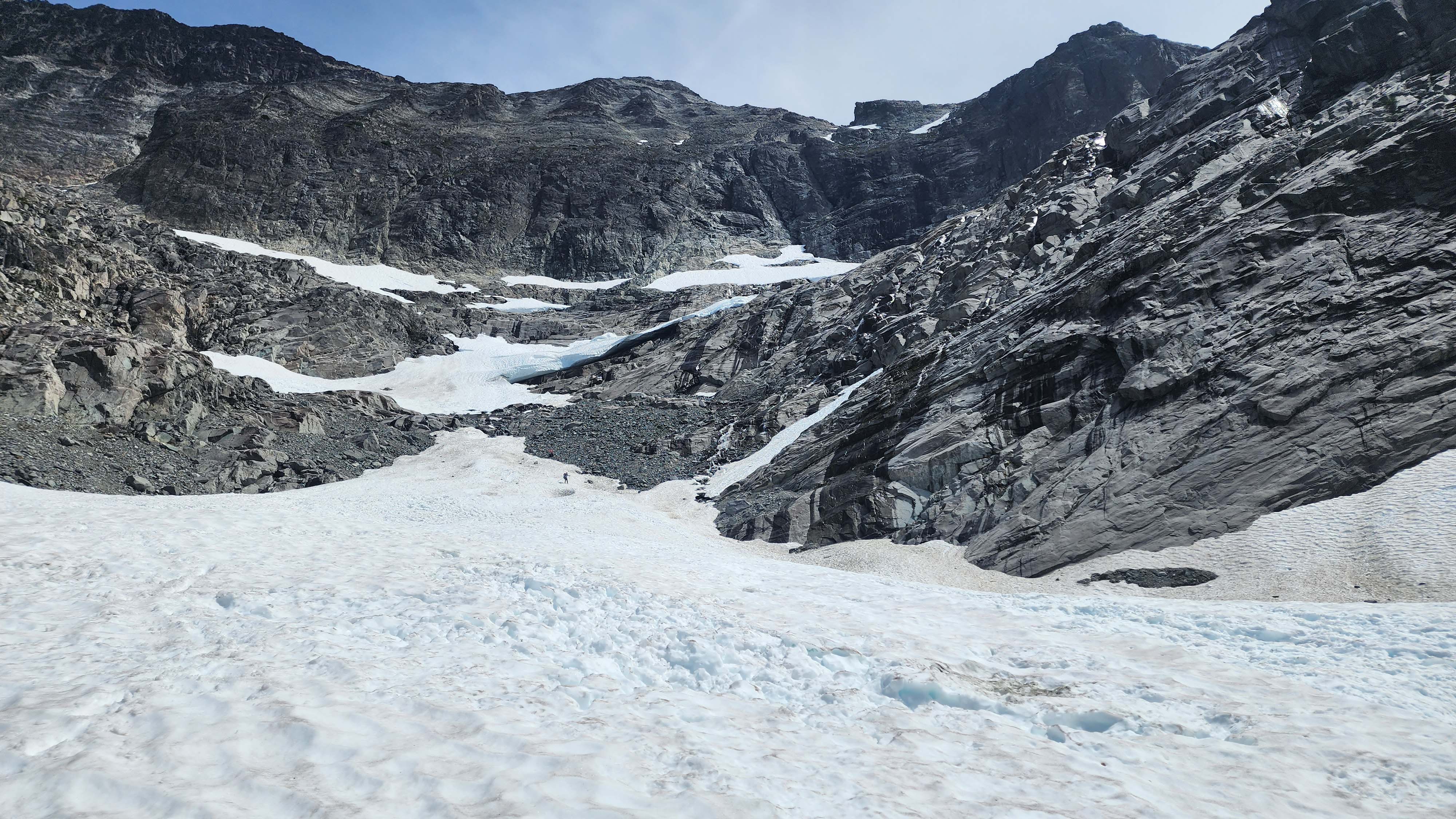
Looking back up at our route down

Perched above Lake Ouzel
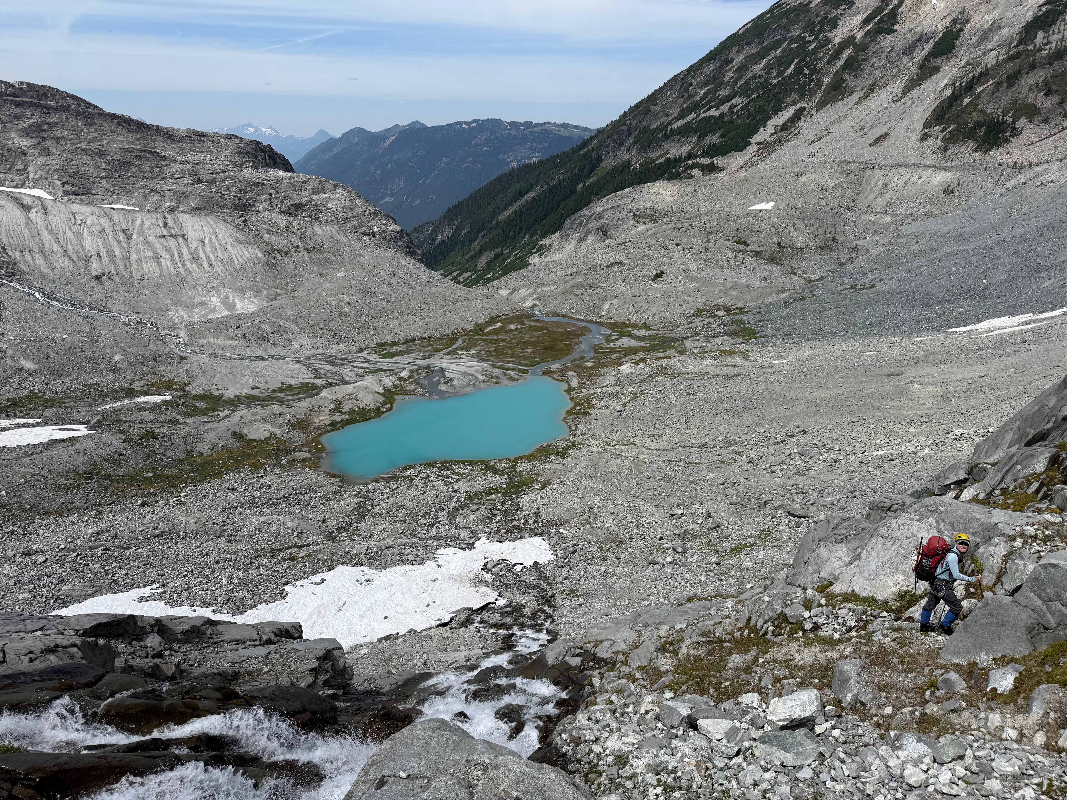
Going down the steep rocks to Lake Ouzel
I got ahead of my group since I figured I should walk fully around the lake looking for my bivy. This route was a lot longer, and forced me to ford the creek again, but it was worth a shot. However, it seemed nearly impossible, since my bivy was gray, the same colour as all the rock everywhere.
I saw a goat, which I thought could be by my bivy, but still no luck. Once back to the creek ford, I knew there was no chance of finding it. I figured my bivy found a home somewhere inside the glacier, so at least it will likely never be found again.
Without the option to spend another night, and loosing over half of my remaining food, and extra power for my phone, we had to bail on Custer by default. Though, we were leaning towards a bail anyways.
Deapproach
I forded the Depot Creek again and put on my trailrunners. I already had the entire rack in my pack, which my main partner carried up; but, since I lost all my camping supplies, I offered to haul it out. This at least gave them a really nice and light pack.
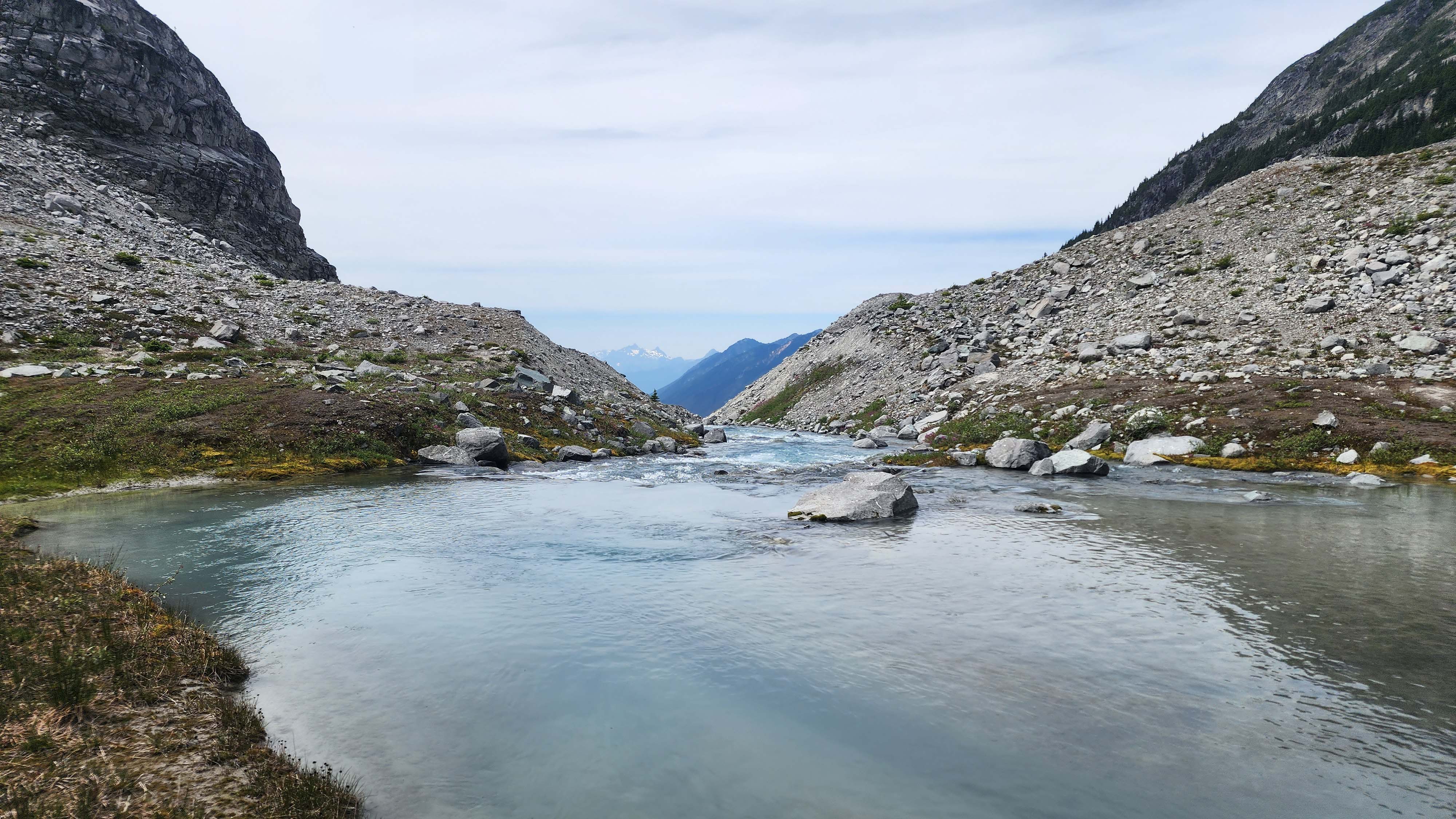
Depot Creek
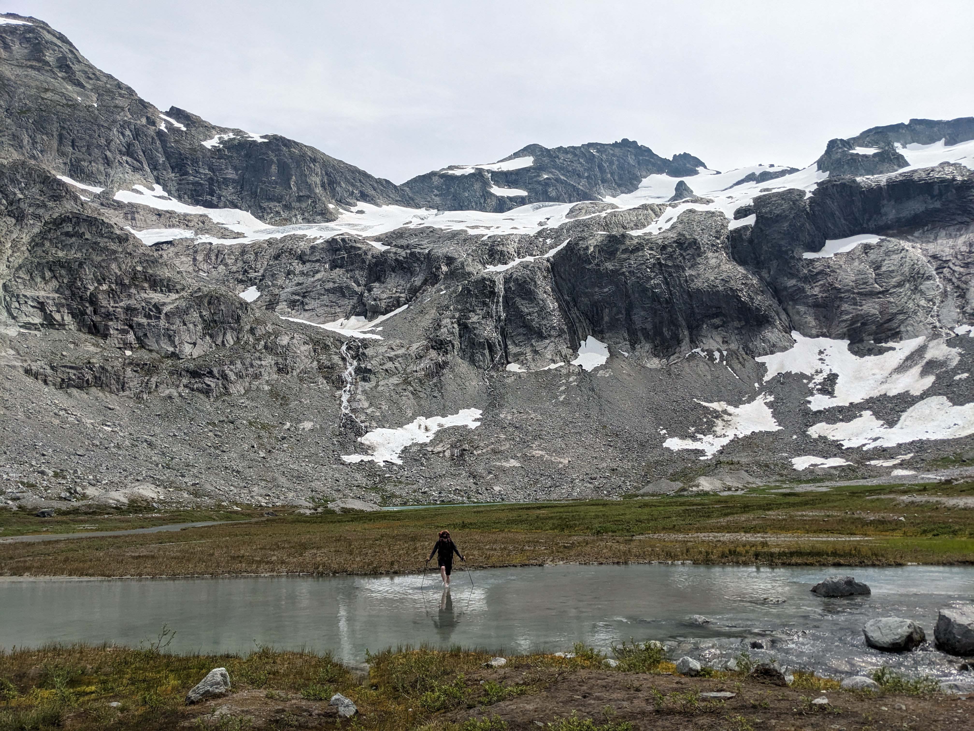
Fording Depot Creek, again — still just as cold
We headed down from the lake, which went by very fast. We were back to the waterfall in no time, then back to the flat valley trail.
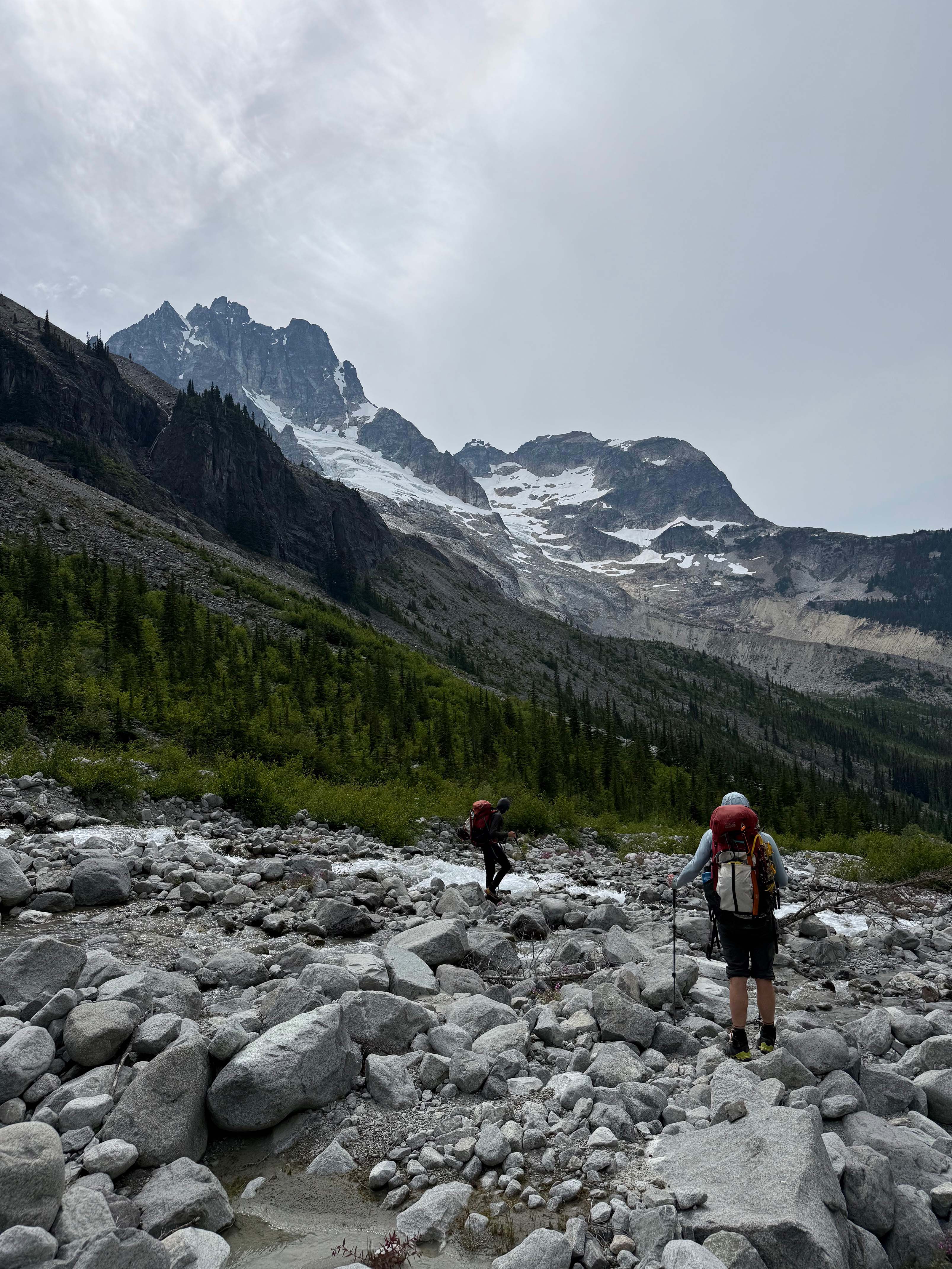
We could see all of Redoubt now
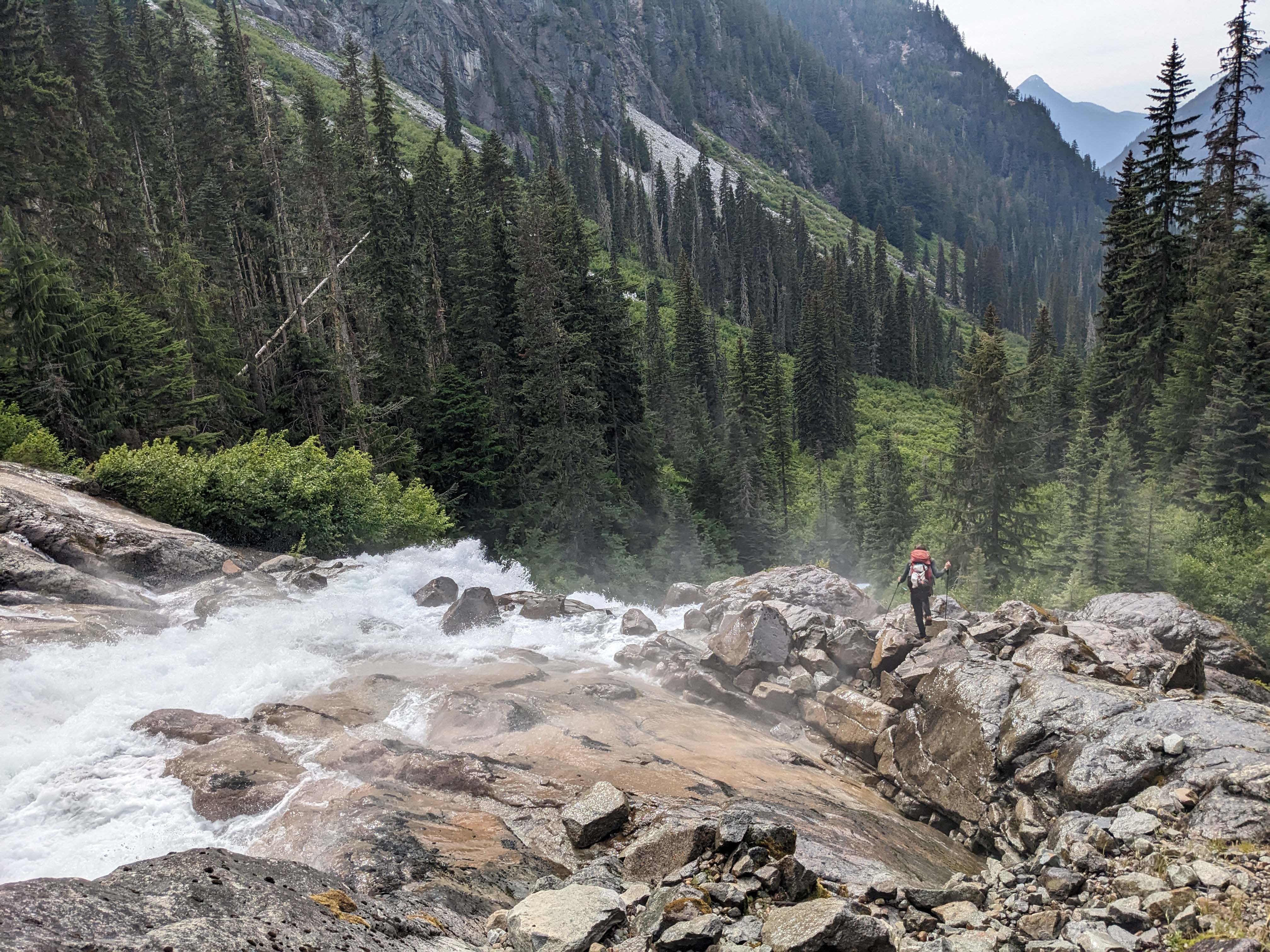
Headed down the waterfall
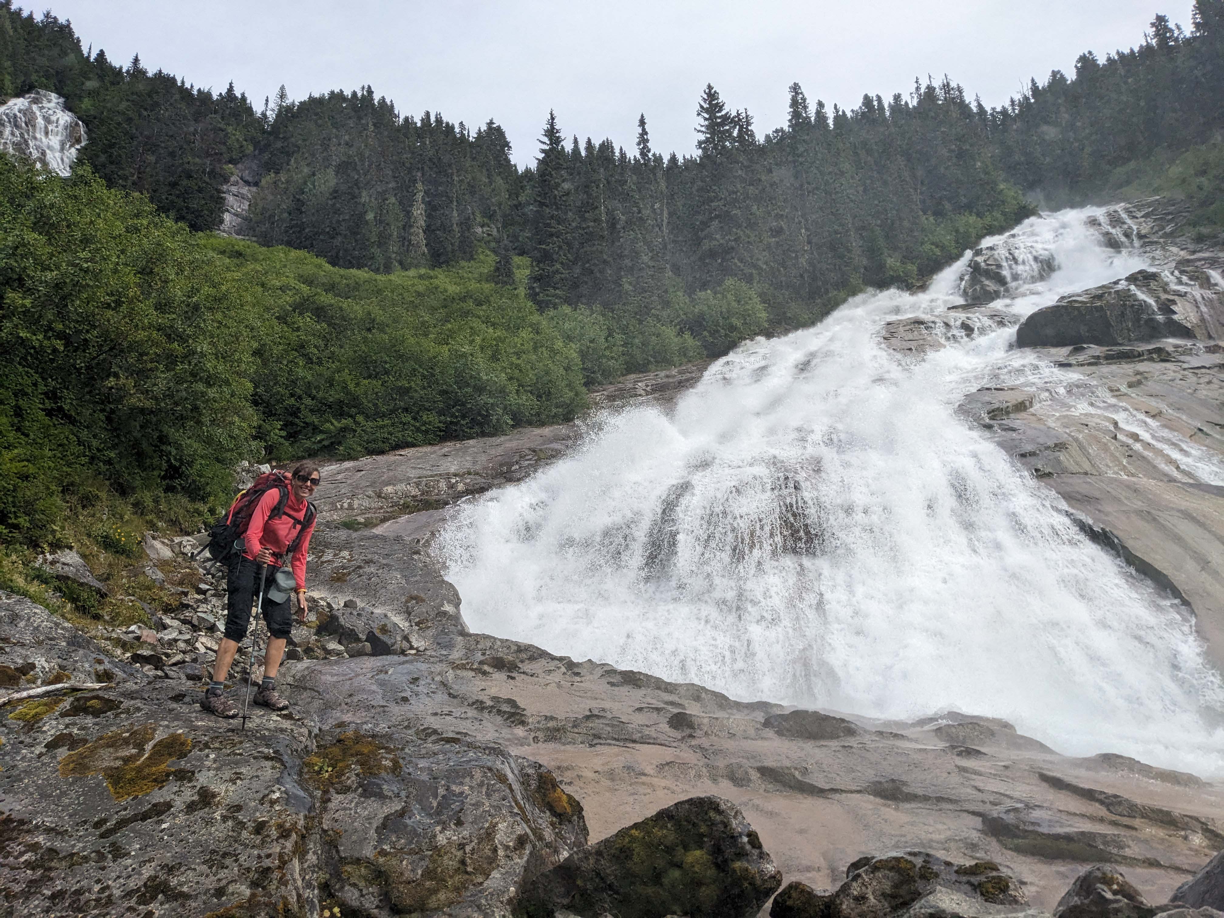
The waterfall
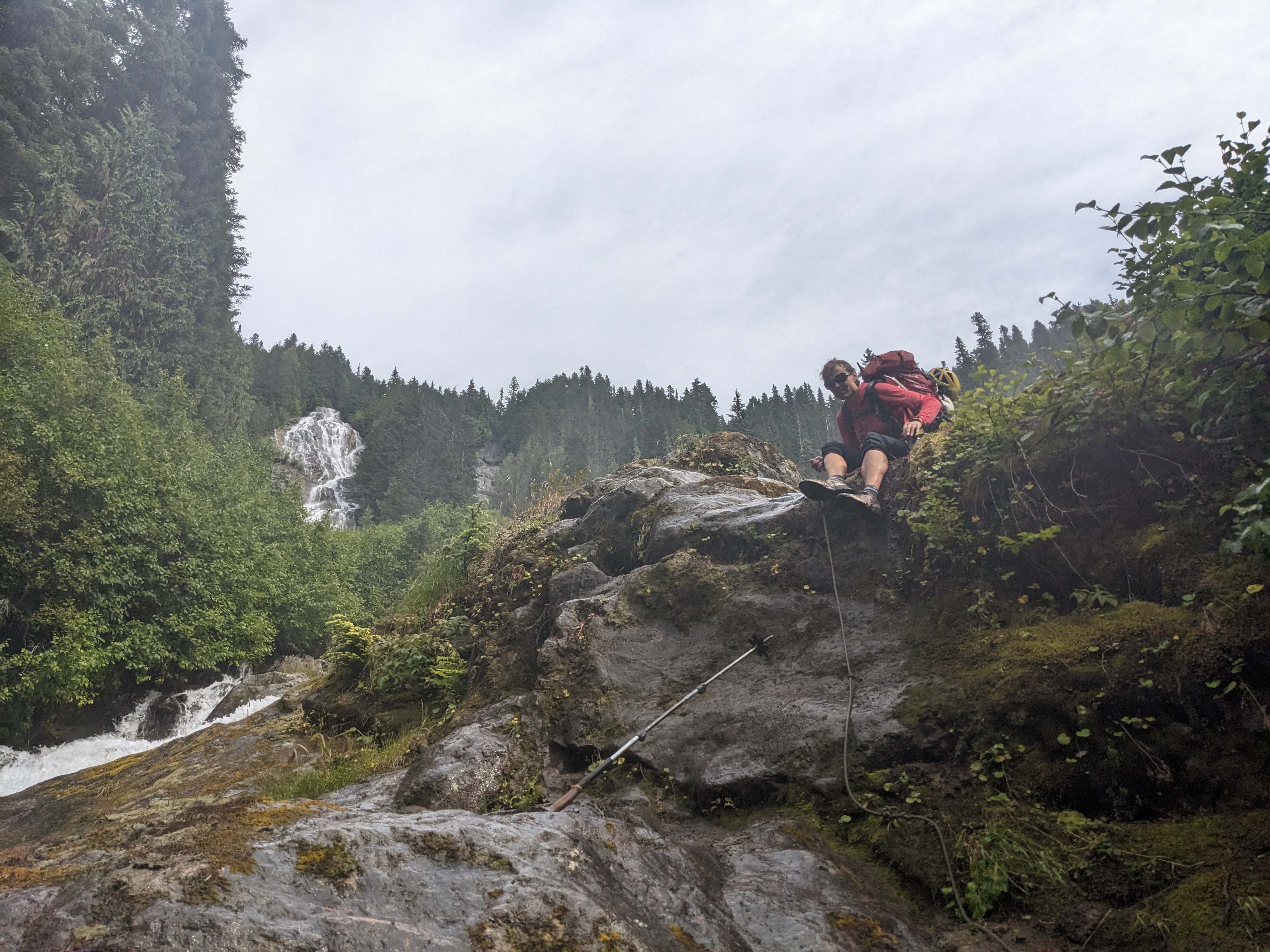
Throwing the poles down the crux
The valley trail was painless, and then we hopped on our bikes and biked down to the car.

A fun log crossing
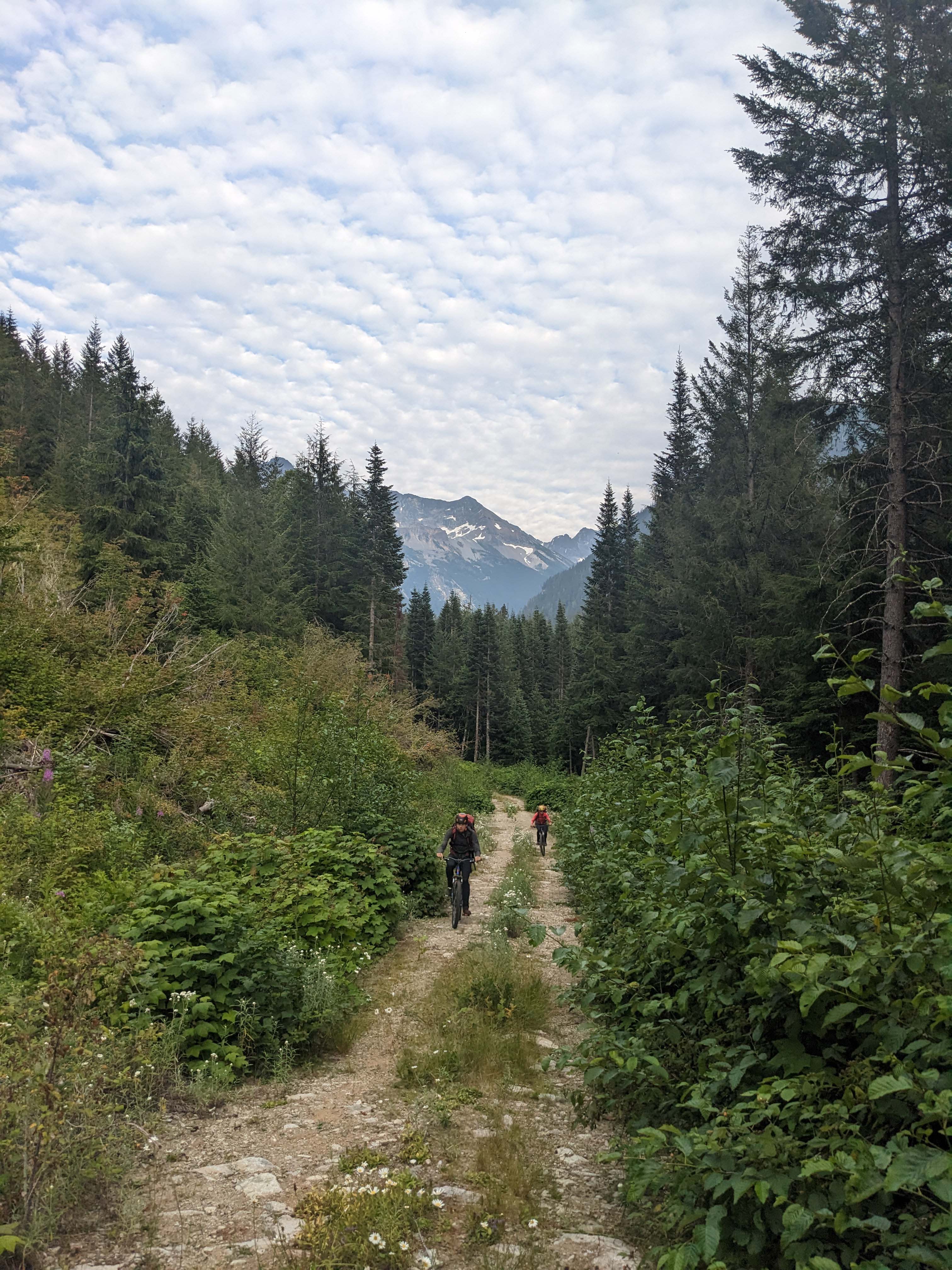
Biking down the road
I reached the car first, and saw a bear just above it — funny how you can be in the forest for days, then the only bear you see is on the road. My timer showed 13 hours — quite the long day.
Epilogue
Despite the loss of my bivy, the trip went very well. The weather could've been much better, but it still cooperated for the summits we wanted. This was the coolest (non-ski) trip I've ever done, and I don't think it will be topped for a while. All the hardest peaks of the Bulger List are now done, with only Goode remaining as the last "hard" peak.
For reference, the rack we brought: a 60m single rope, cams 0.2-3, tricams black-red (0.3-0.5 cam eq.), nuts 2-11 (up to 0.5 cam eq.), 6 alpine draws, and a few double/quad slings. We also brought standard glacier gear, including a total of 2 pickets.
I wouldn't change much about this rack, other than cutting the triples to only doubles in 0.3-0.5" (by removing the nuts, not tricams). We had expected to simuli up Easy Mox from the Col of the Wild, so that's why we brought many duplicates.
Anyways, this is now the longest trip report I've ever written. I pasted it into Microsoft Word, and it says over 9000 words; that's no joke. Plus, that's in combination with 170 photos. I was able to get the photo file down to only 222mb, which seems really low for that many photos. I had to lookup how to make a scroll element just so I could add a functioning Table of Contents; I think this report would be unreadable without that.
Thanks for reading, now go climb the Moxes.