My Trip Info:
Ascent: 4140ft (1261m)
Distance: 15mi (24.2km)
Group Size: 2
Day Count: 2
More stats...
Mountain Info:
Mount Stickney:
Elevation: 5307ft (1618m)
Prom: 1782ft (544m)
Trip Report Writeup
After attempting to summit Stickney in April of 2024, I couldn't help but think about how cool it'd be to ski the North Face of it. I figured it'd probably be possible to ski from the summit as well. It would also be the first know ski descent of Mount Stickney.
Photo from our 2024 attempt of the Stickney. The North Face is the prominant snowy face.
For the 2025 season, skiing Stickney was one of my main goals. We finally got some good low snow on Feb 14, so we went for it.
The plan was to camp at the flat spot just below the North Face, and attempt the second day. It was also possible that we could get an attempt in on the first day.
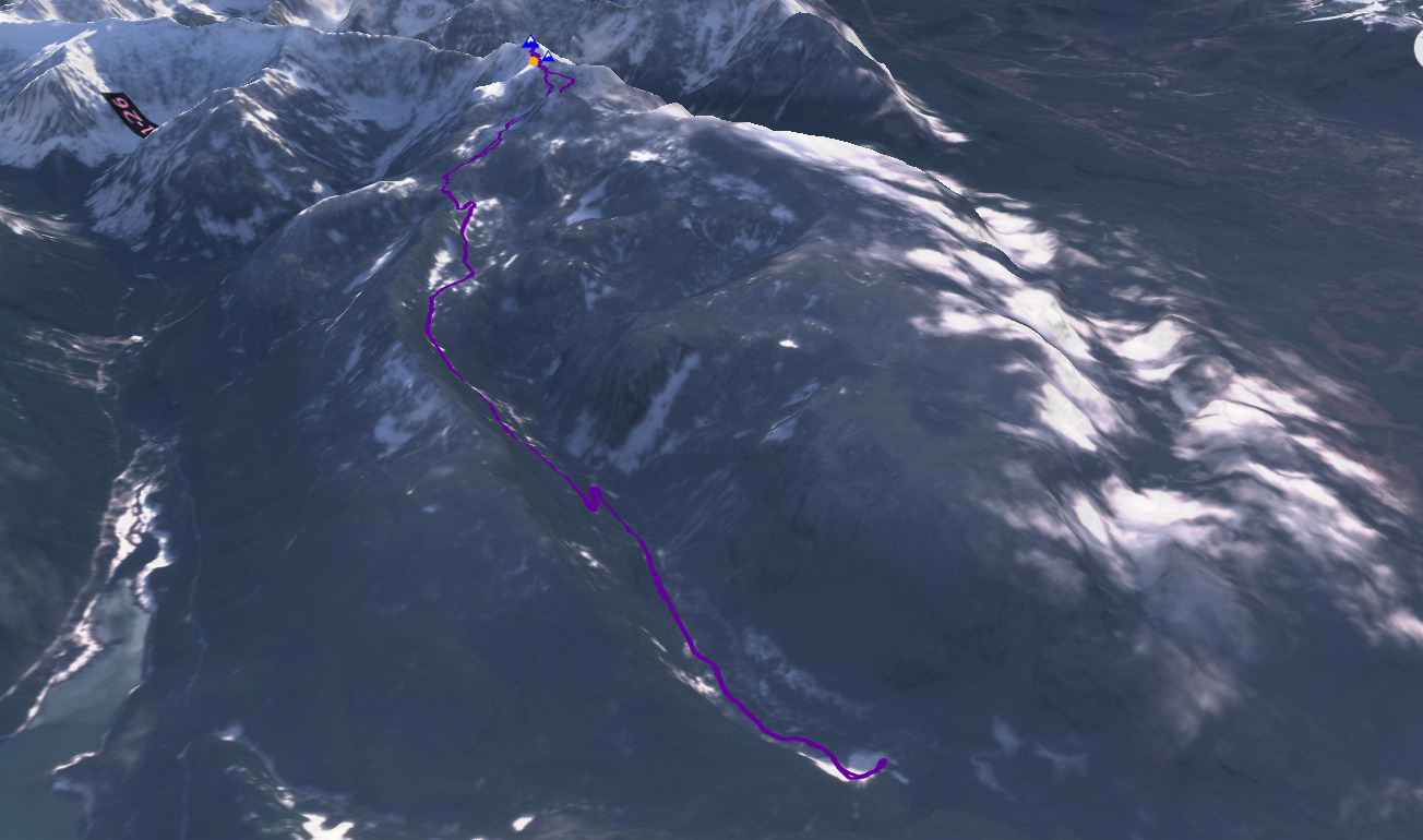
We headed to the Sultan Basin Road not far away. The road still had fresh snow on it; nobody had been up it yet. We parked near the gate in a small pullout and threw on our skis & skins.
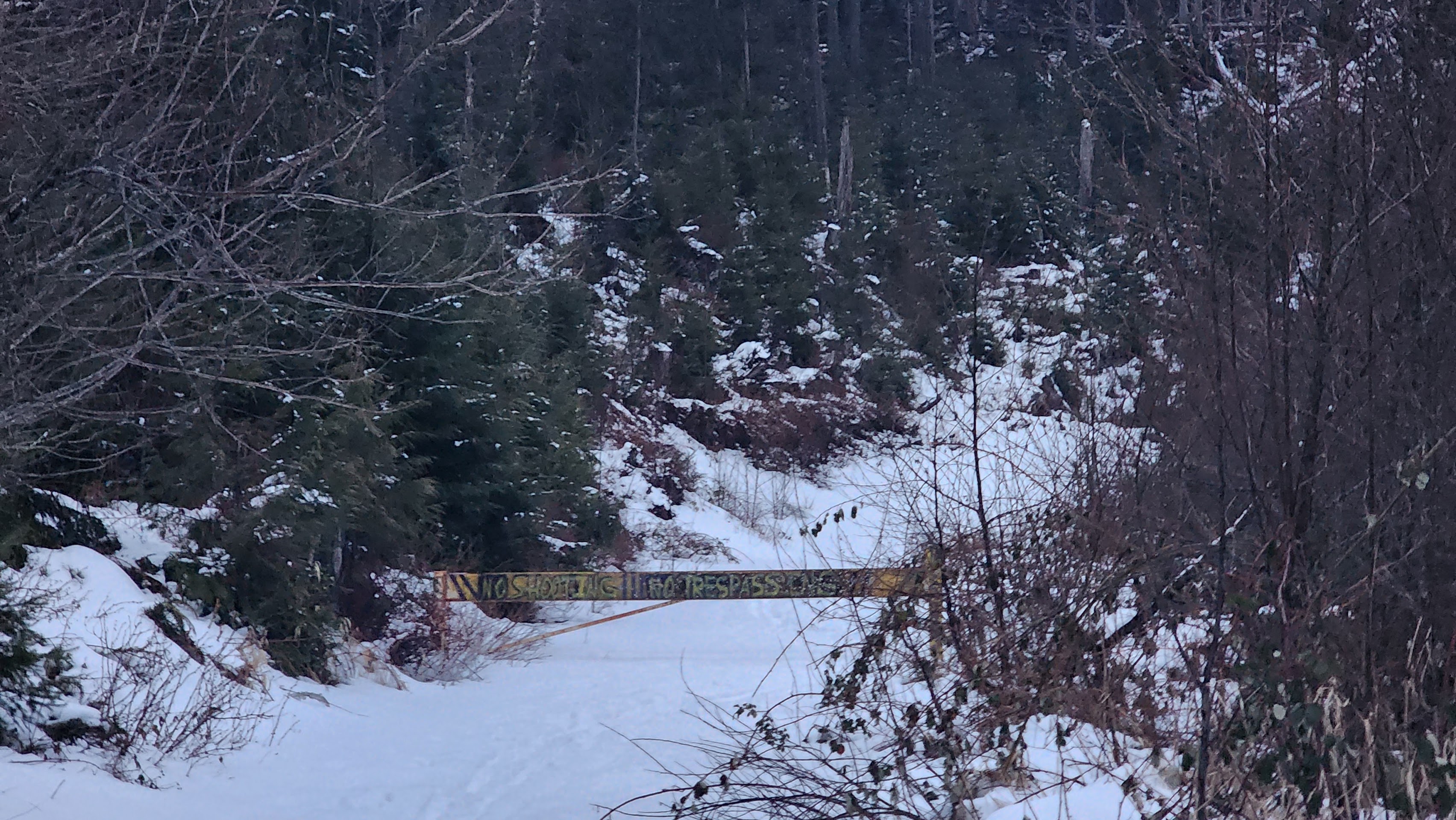
The gate (photo taken on the way out)
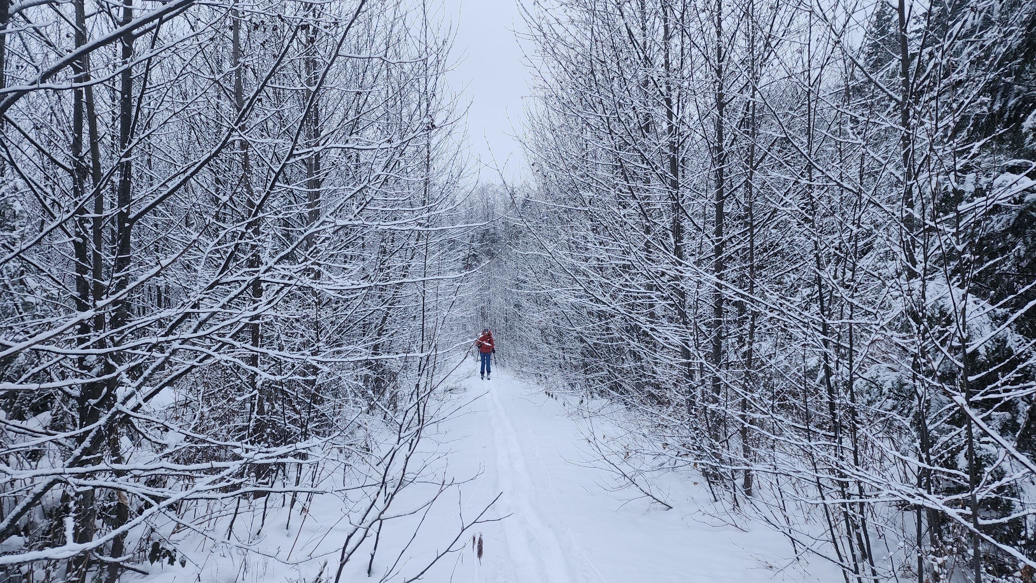
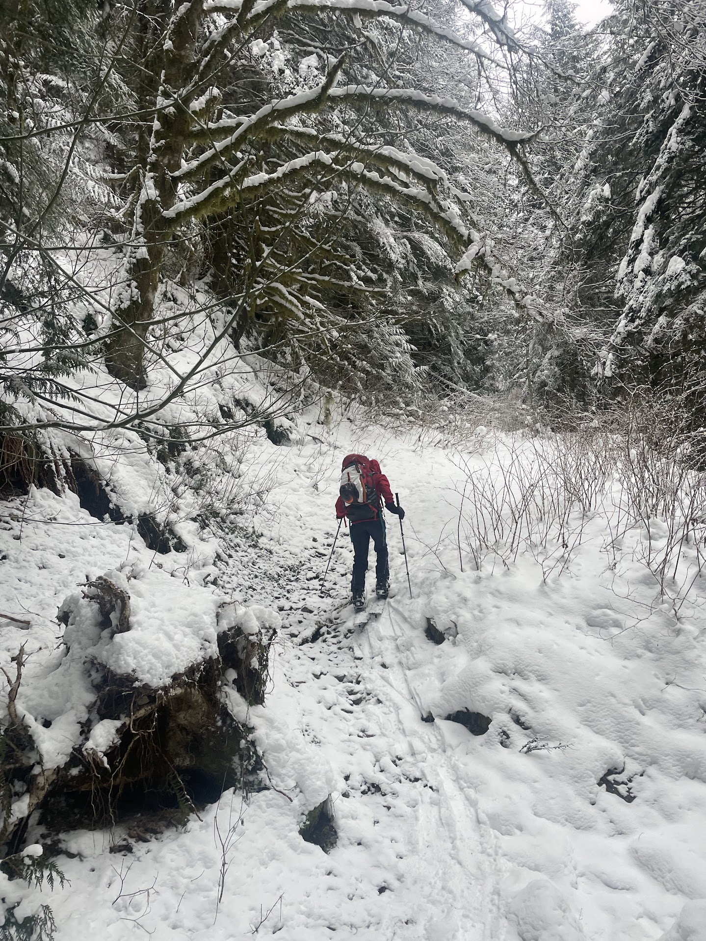
It was great to be able to skin from the trailhead. The underbrush was mostly covered by snow, which made moving fast.
Skinning up the road
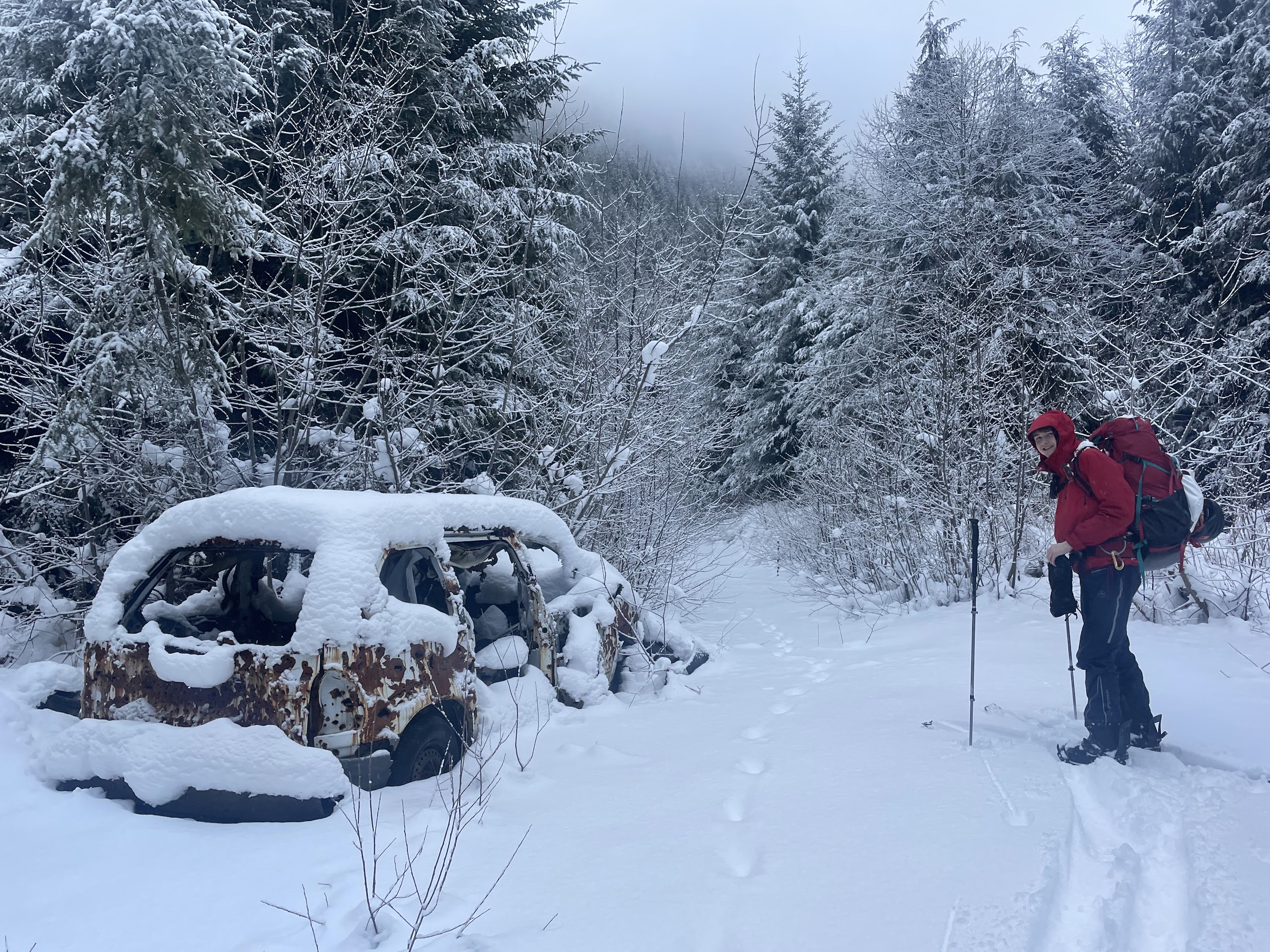
The old car under fresh snow
The road was quite uneventful, so I'll let the photos tell the story.
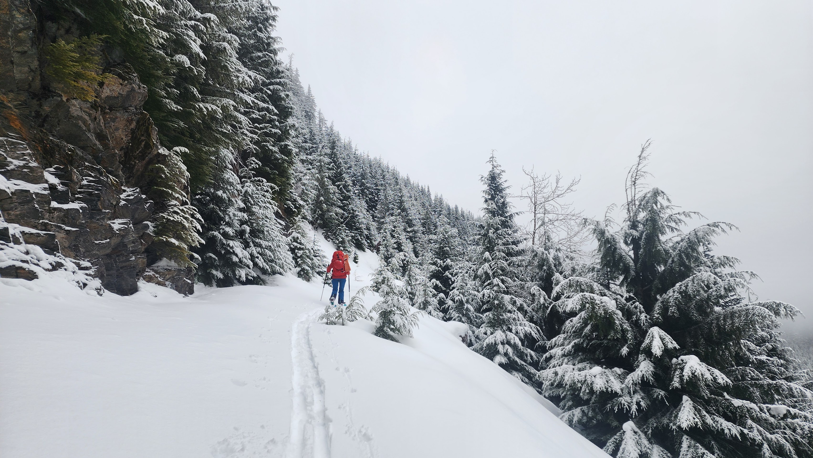
In a brushy section
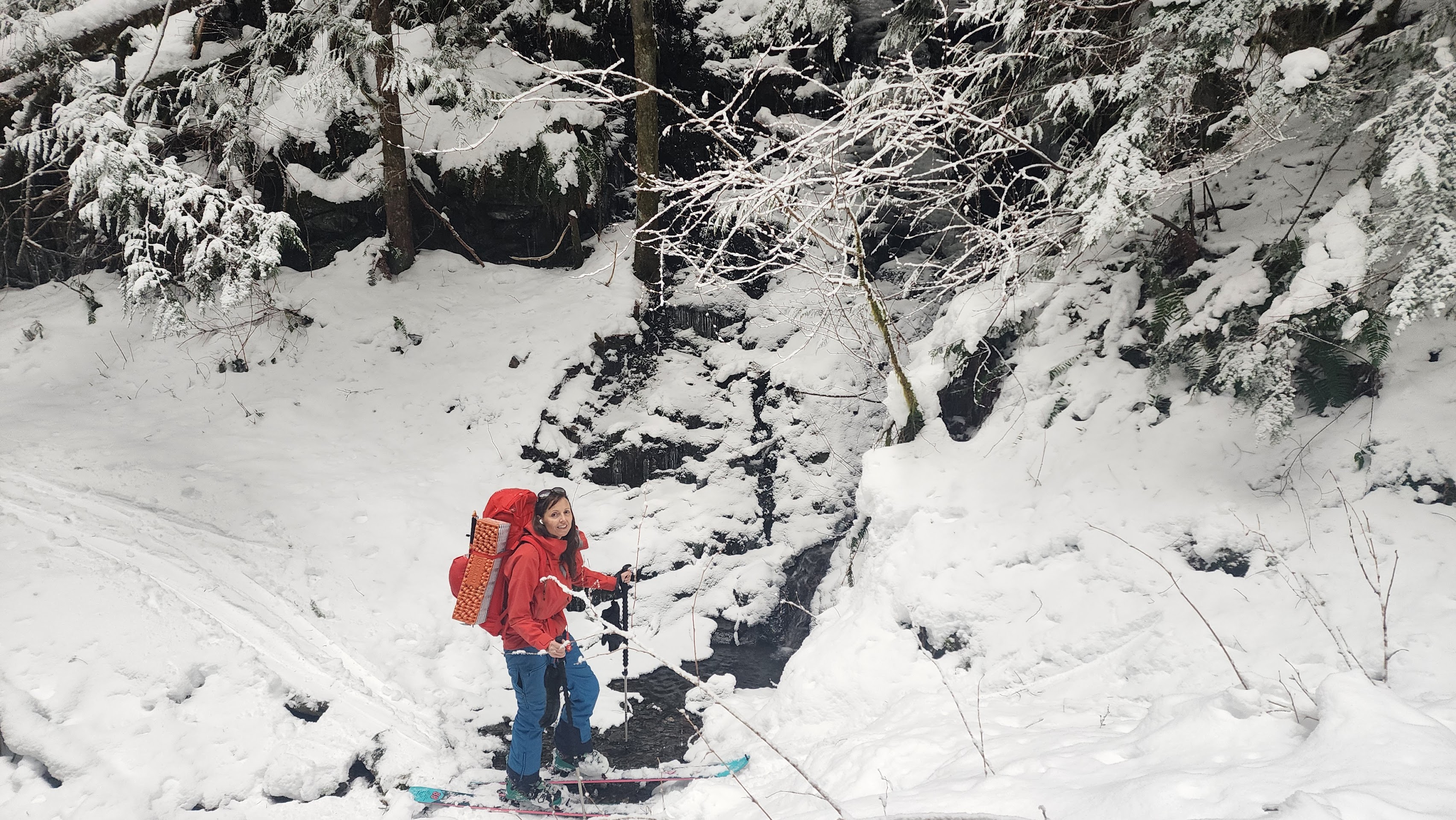
Crossing one of the many creeks with thin snow cover
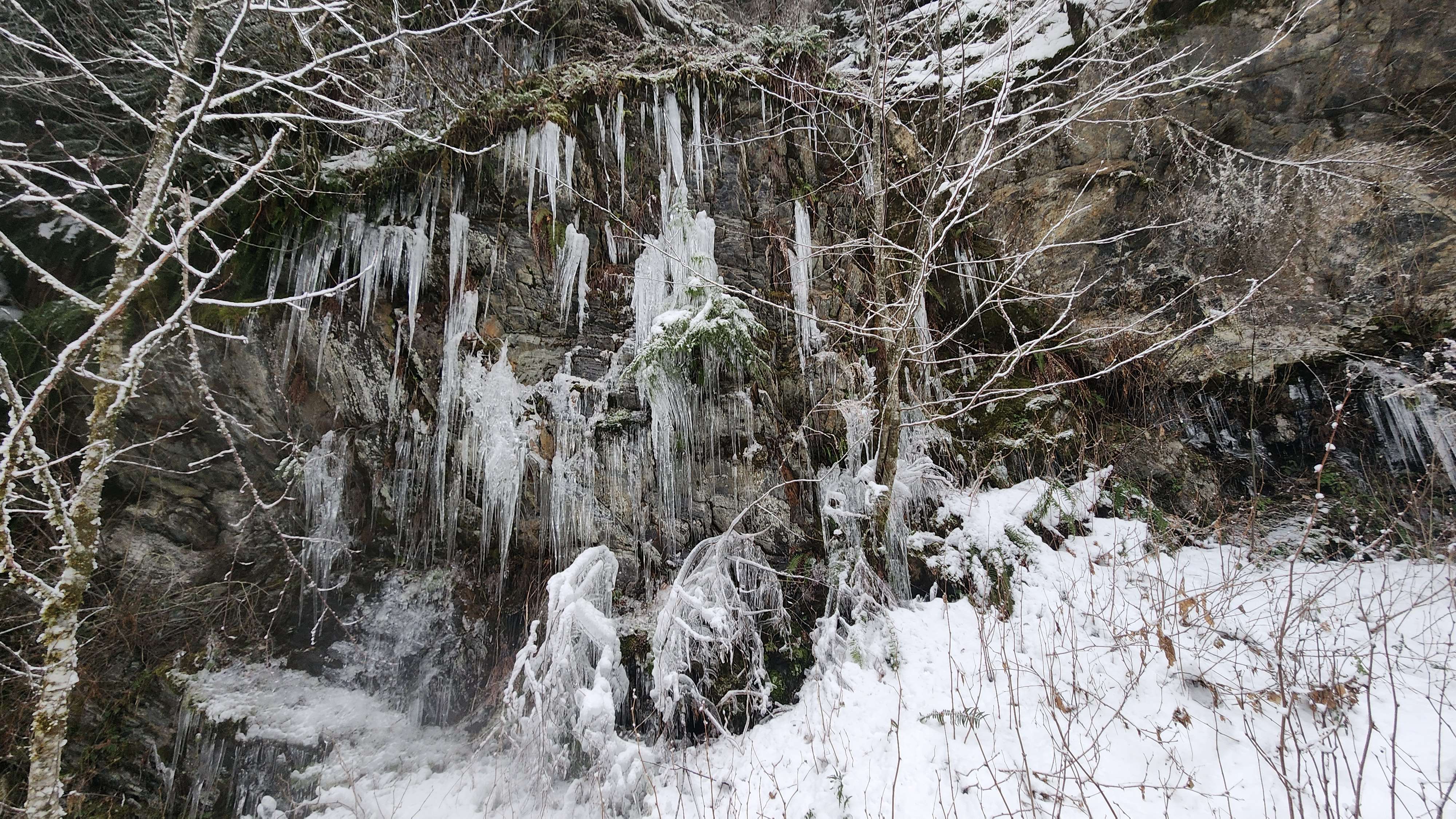
Cool icicles
More creeks
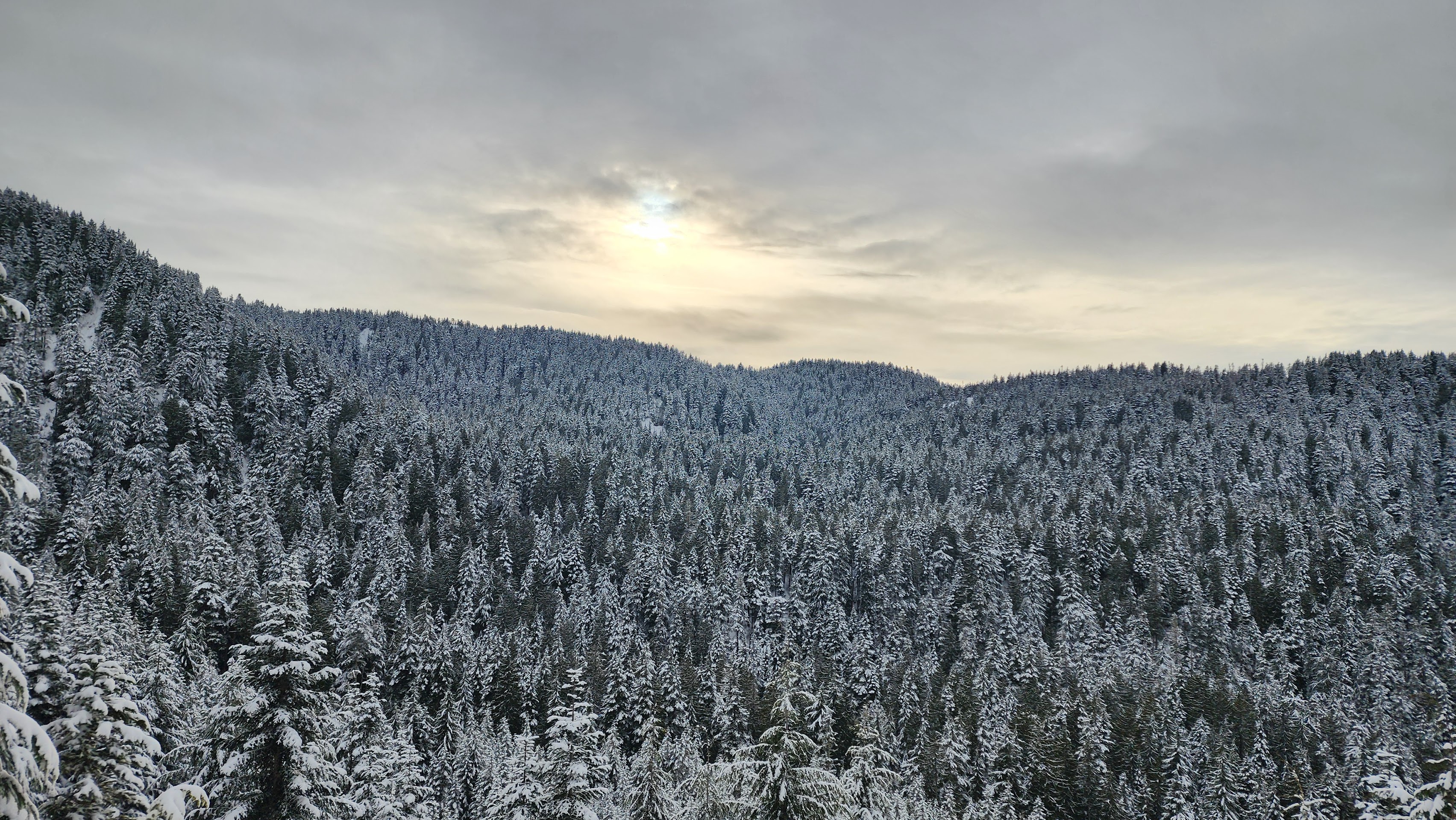
Higher up
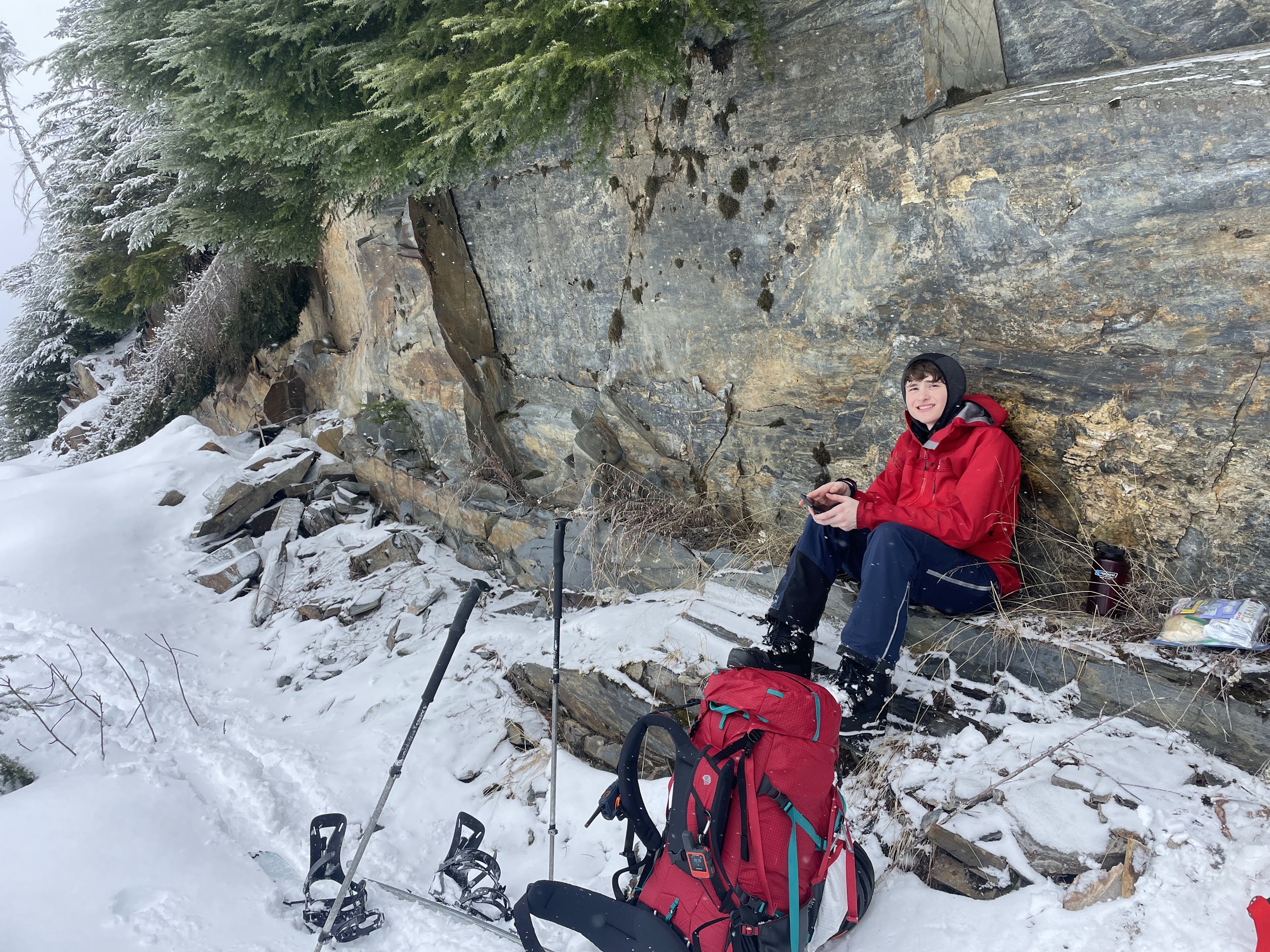
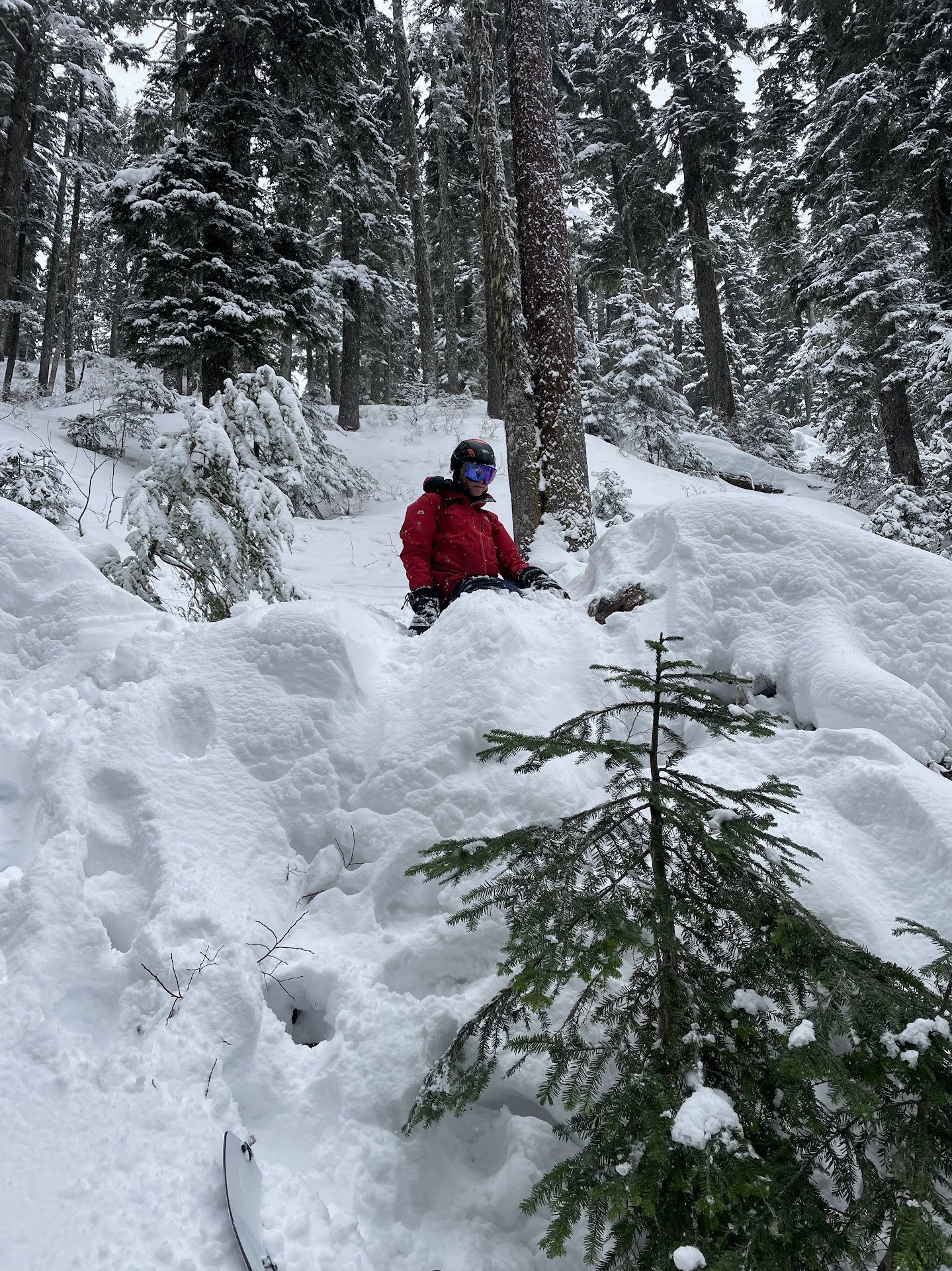
Great seat
Approaching the turnoff from the road
We navigated around the large ditches near the turnoff (with some failure) and found a good spot to leave the road.
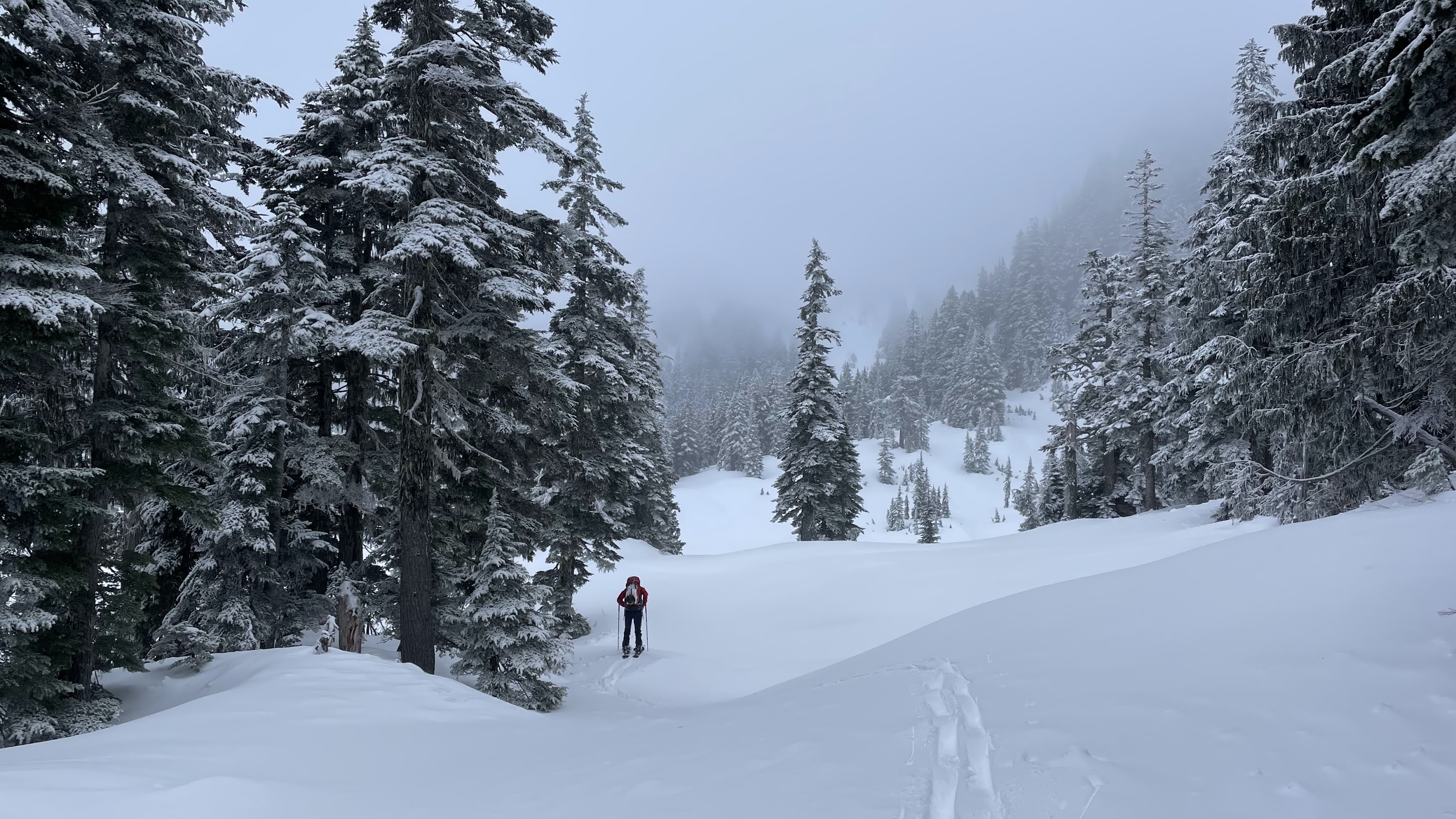
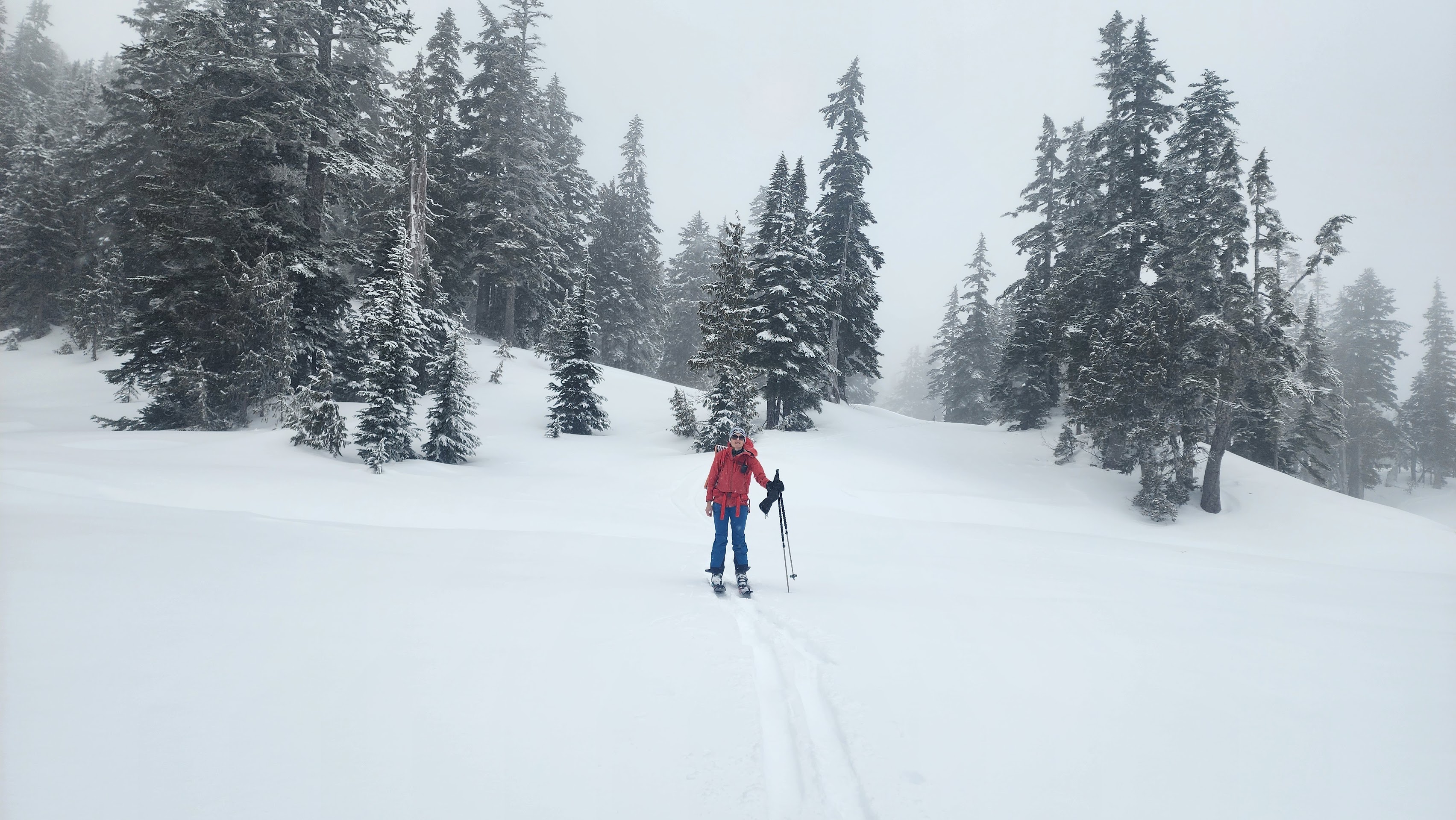
It was a quick and mostly easy skin up to One Acre Lake from there. Both times I've been to this lake, it has been under snow.
Almost to the lake
Skinning across the lake
Across the lake
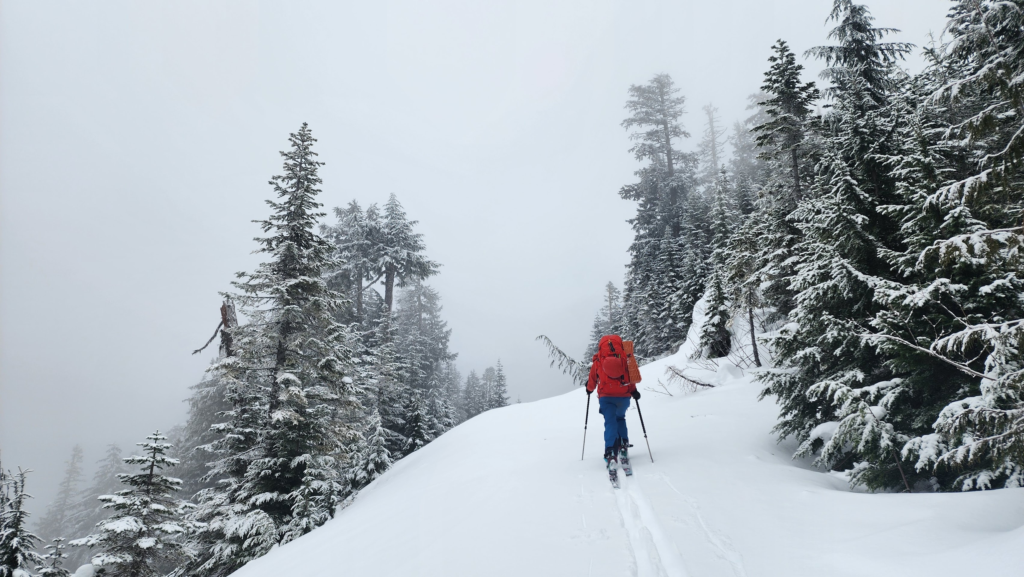
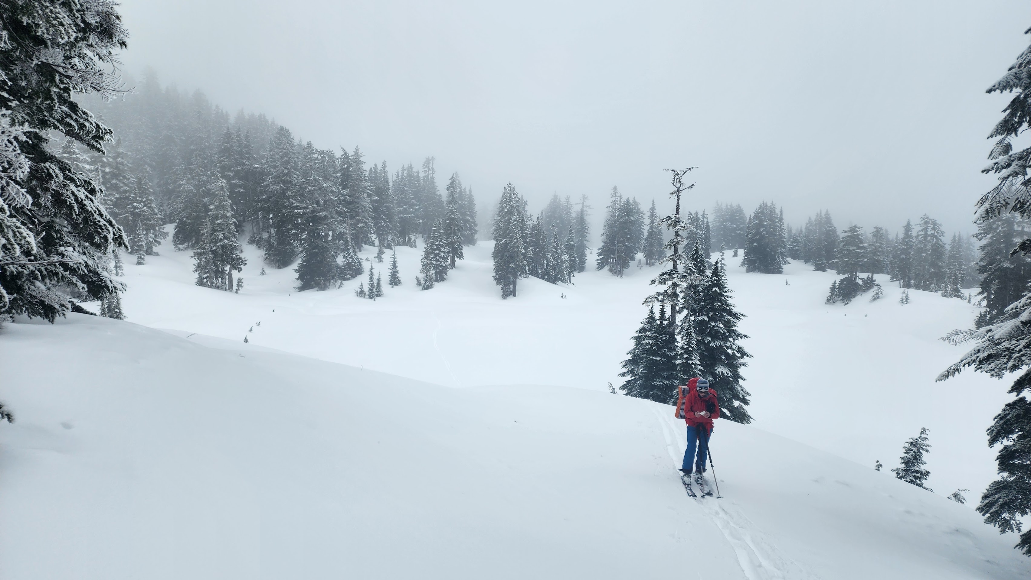
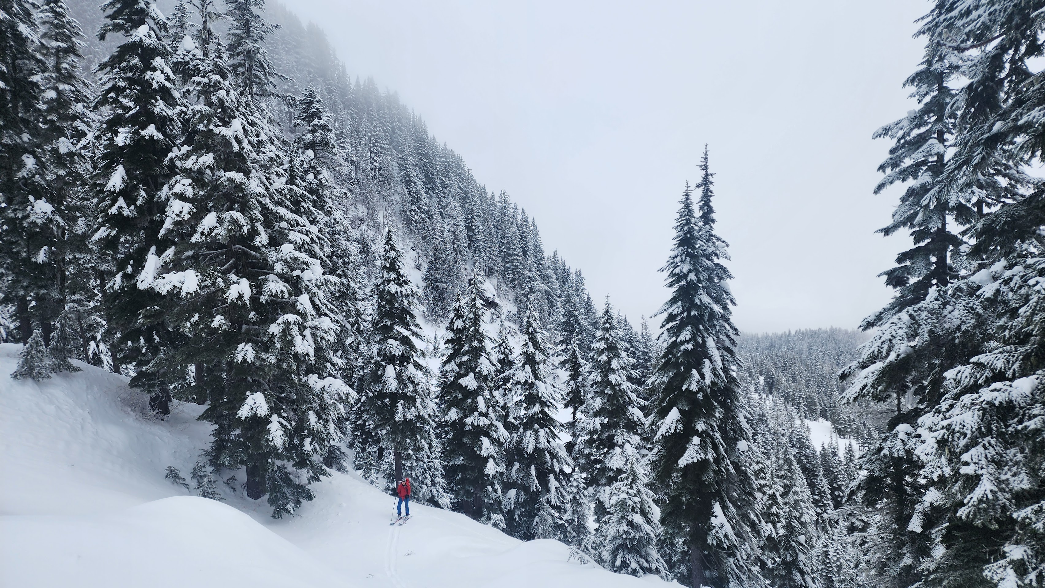
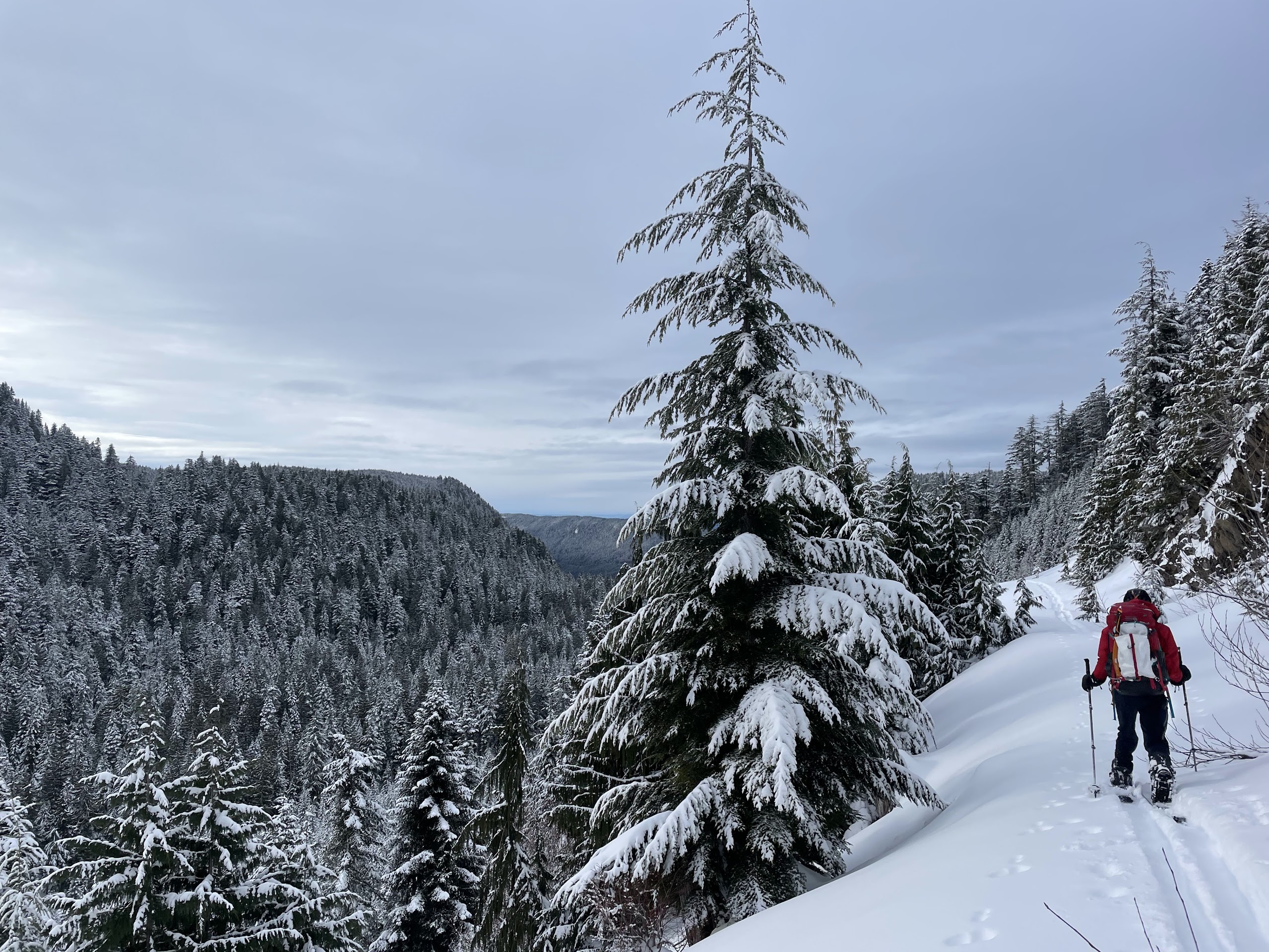
We continued towards our campsite while taking a slightly weird route.
Skinning up through the trees
The first blue sky we saw — the snow also stopped
More skinning
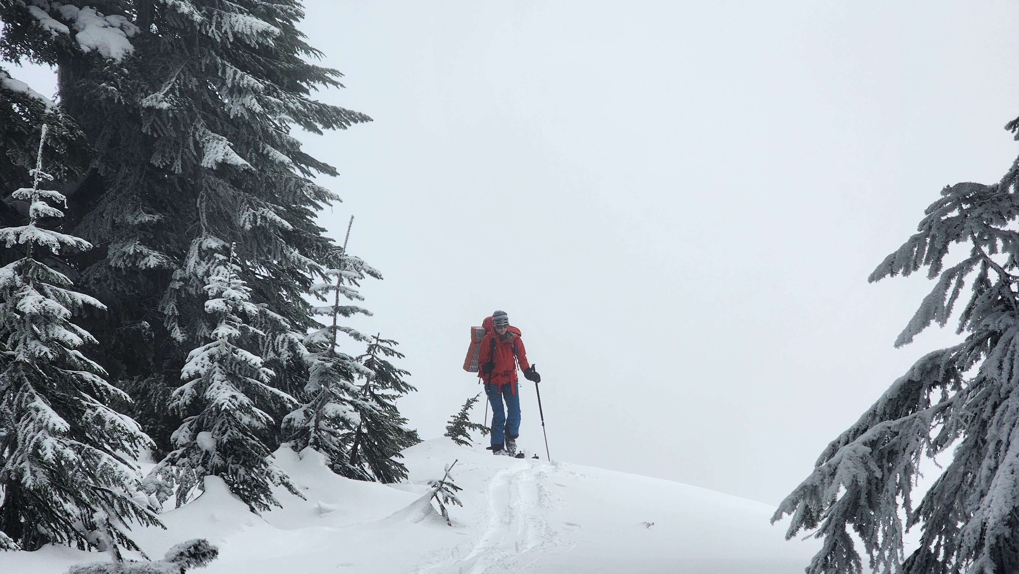
On the saddle now
Going up a weird way that wasn't any better than the normal way
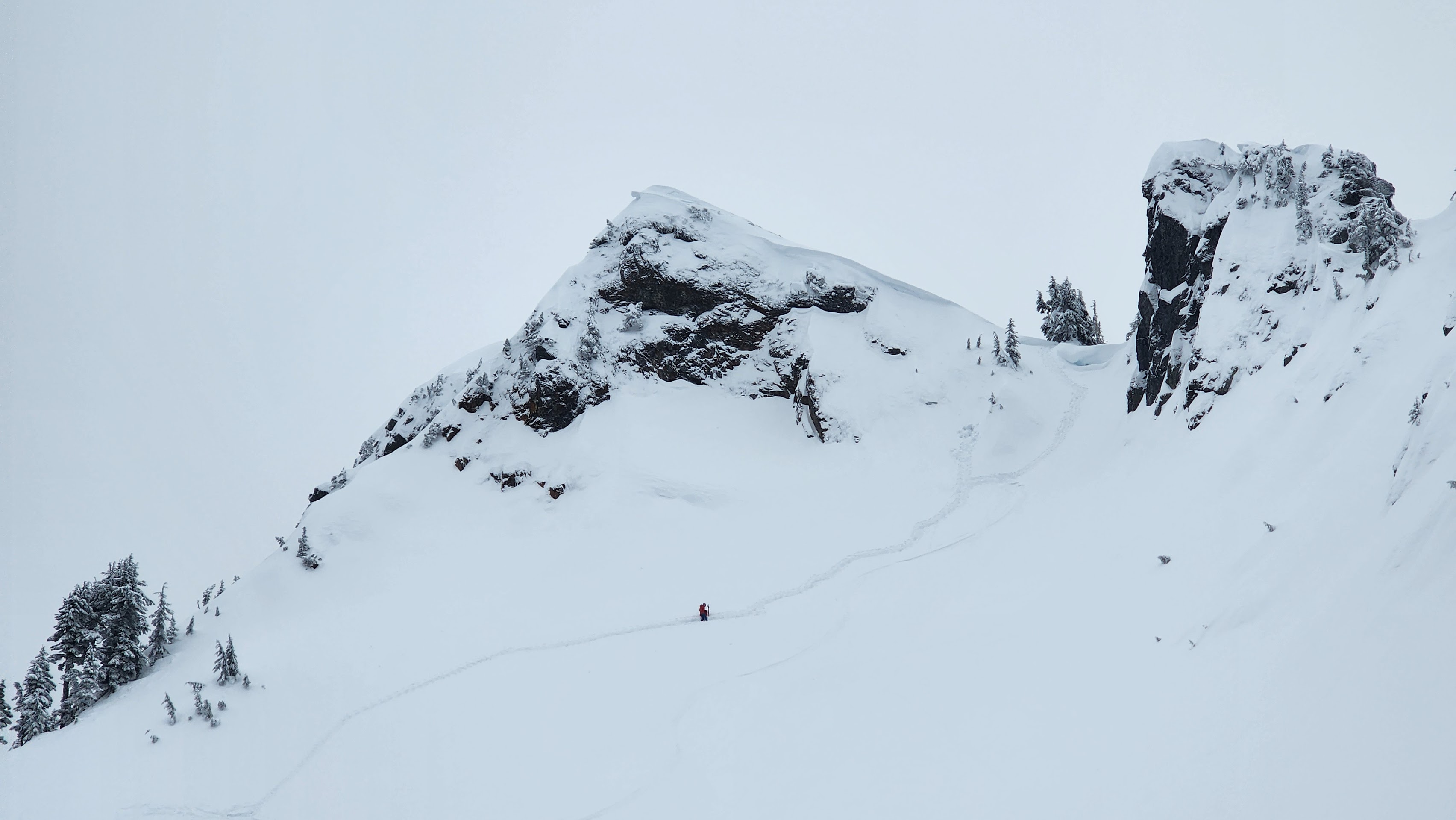
Looking up at the Northwest Subpeak
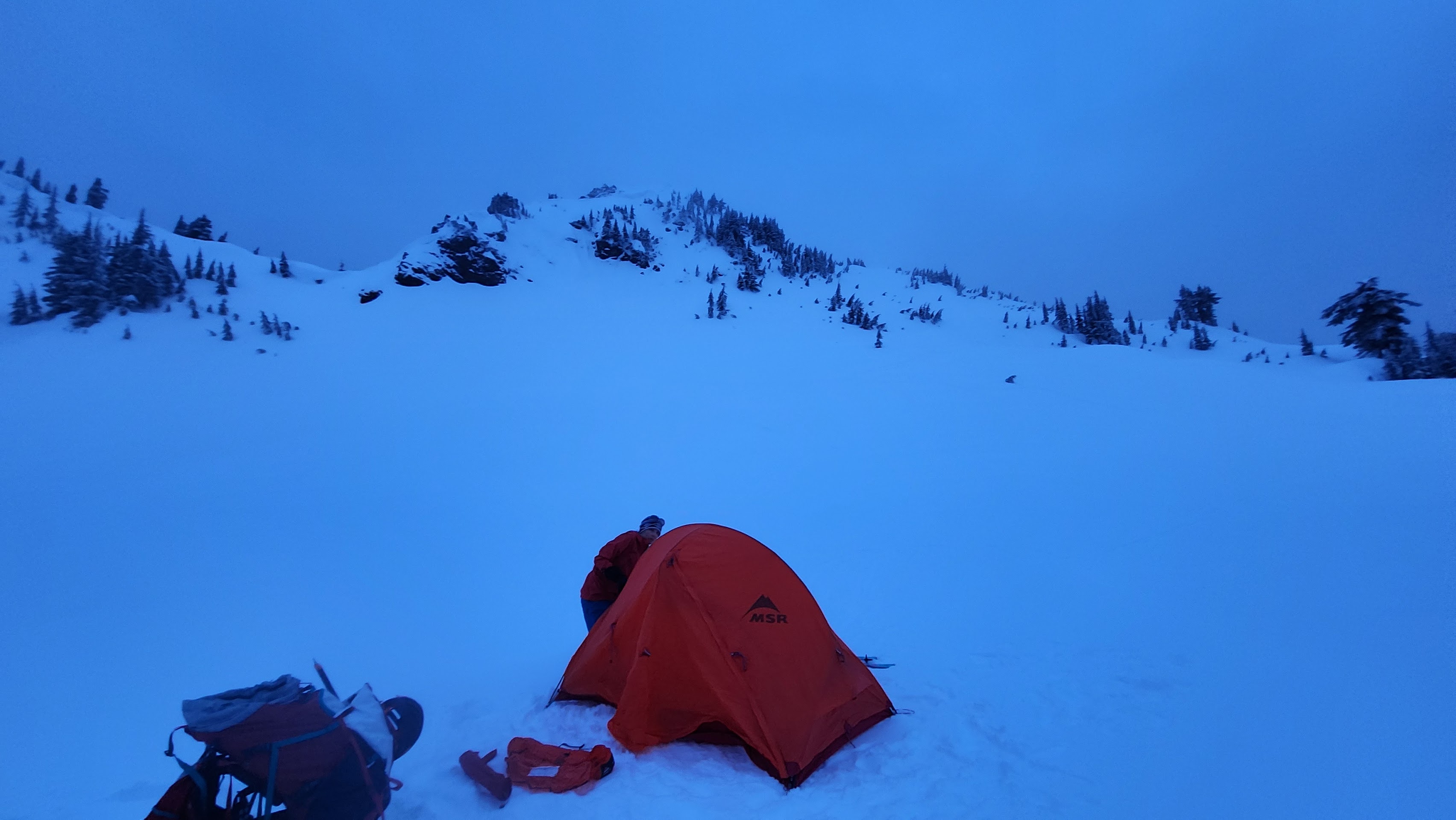
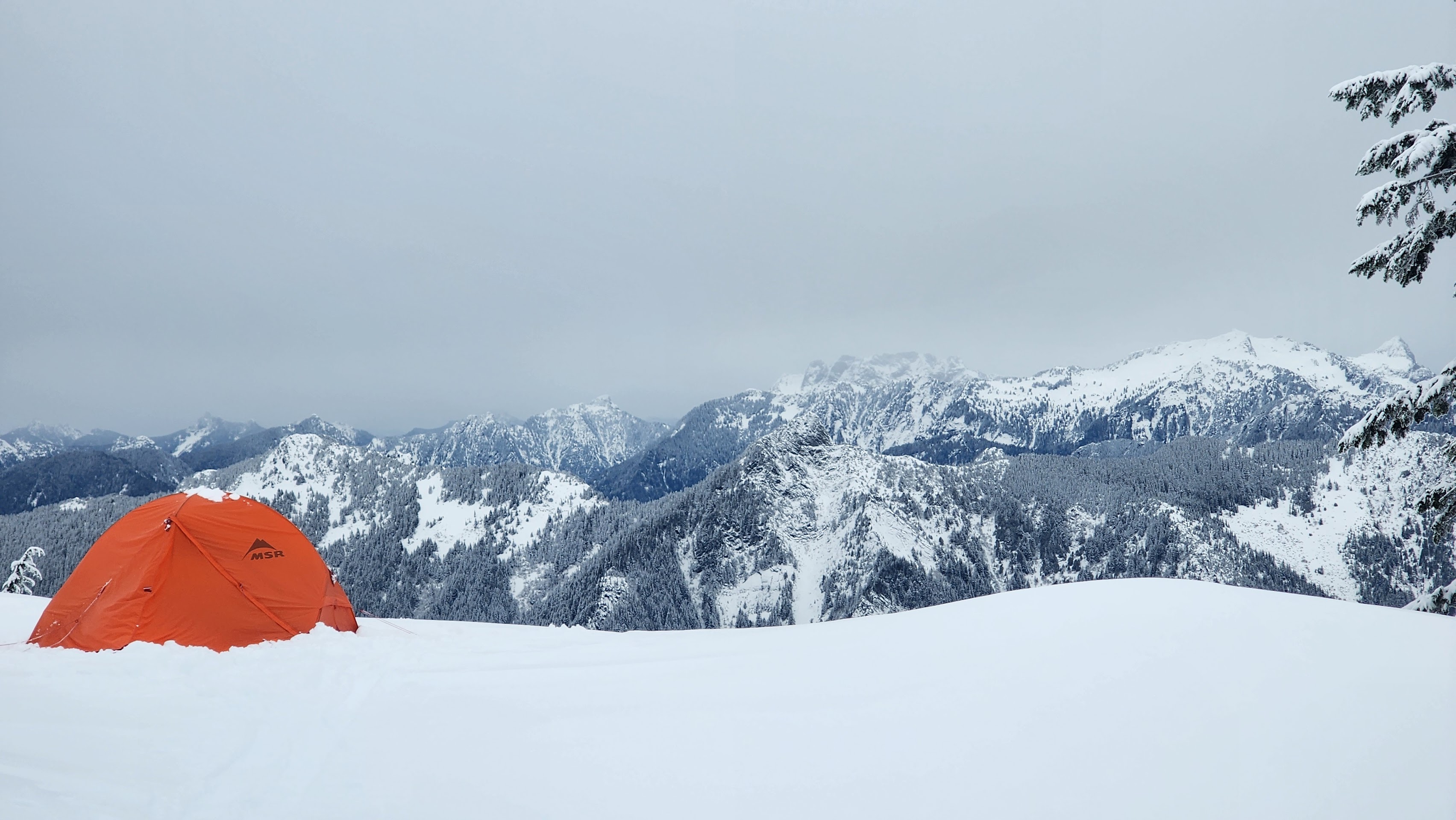
After gaining the subpeak's ridge, we had to ski down a little to get to our desired campsite. Unfortunetly, it was already nearing dark — everything took way longer than we planned. We found a good campsite out of avy danger and got setup. While we were putting up our tent, we got our first good view of the mountains. It seemed the mountains were rewarding us for completing our first day.
Finally, a view.
The tents up, but it's almost dark
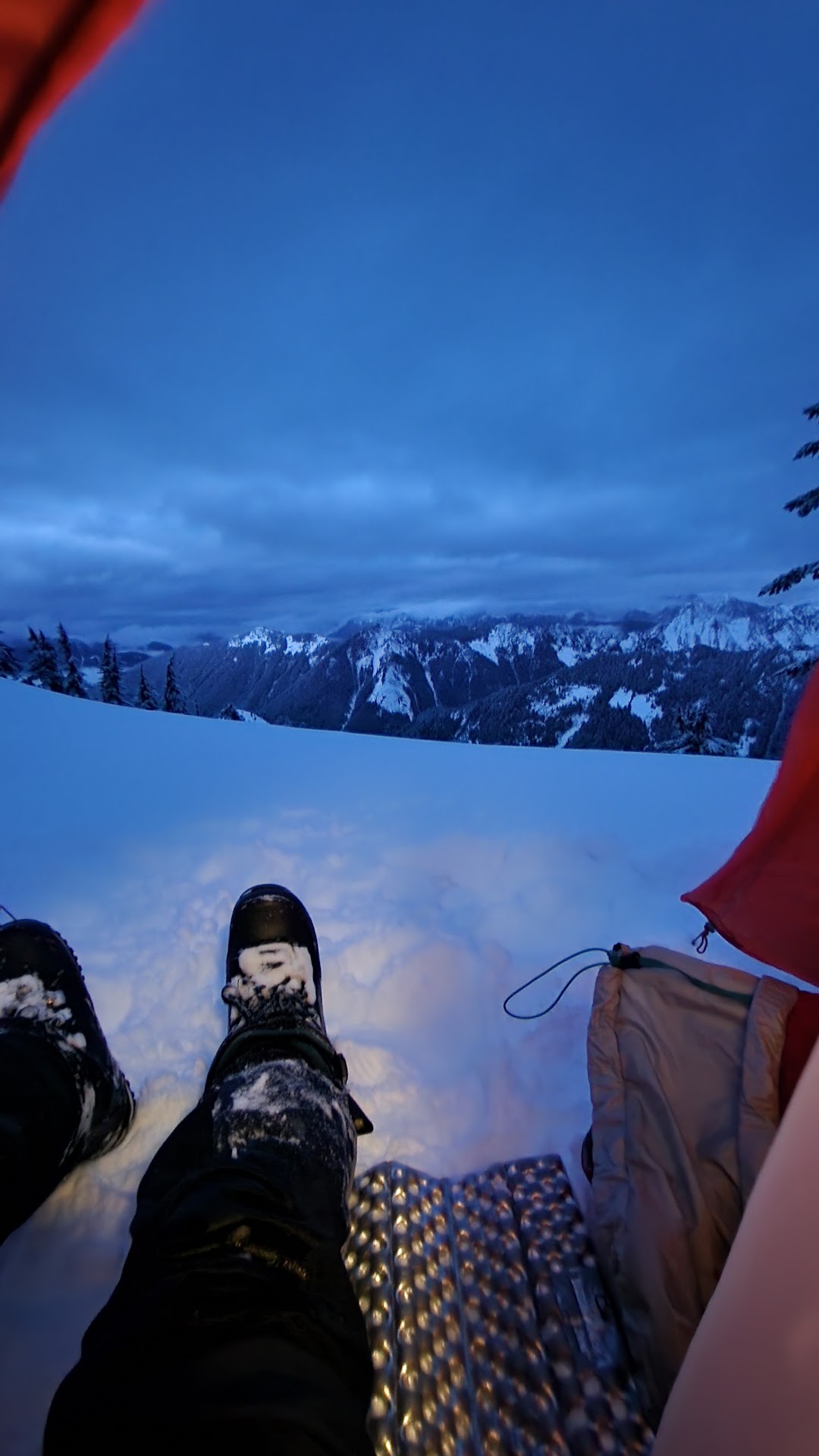
Nice view from the tent
The snowfall started again not long after we went to sleep. It seemed like it was snowing quite a bit based off how loud it was.
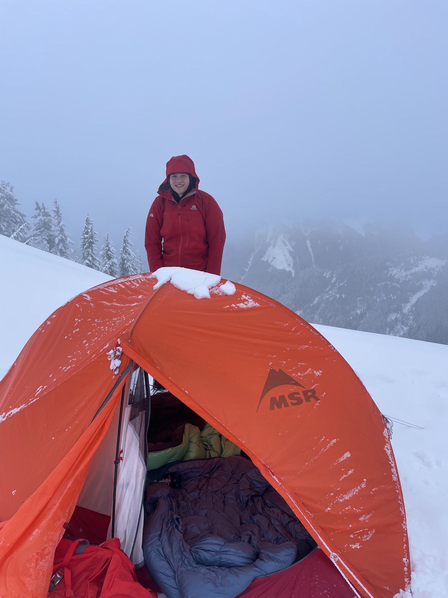
It was true — it snowed quite a few inches overnight. We hit the snow off our tent and got ready for the day.
Our tent — still quite snowy from the night before
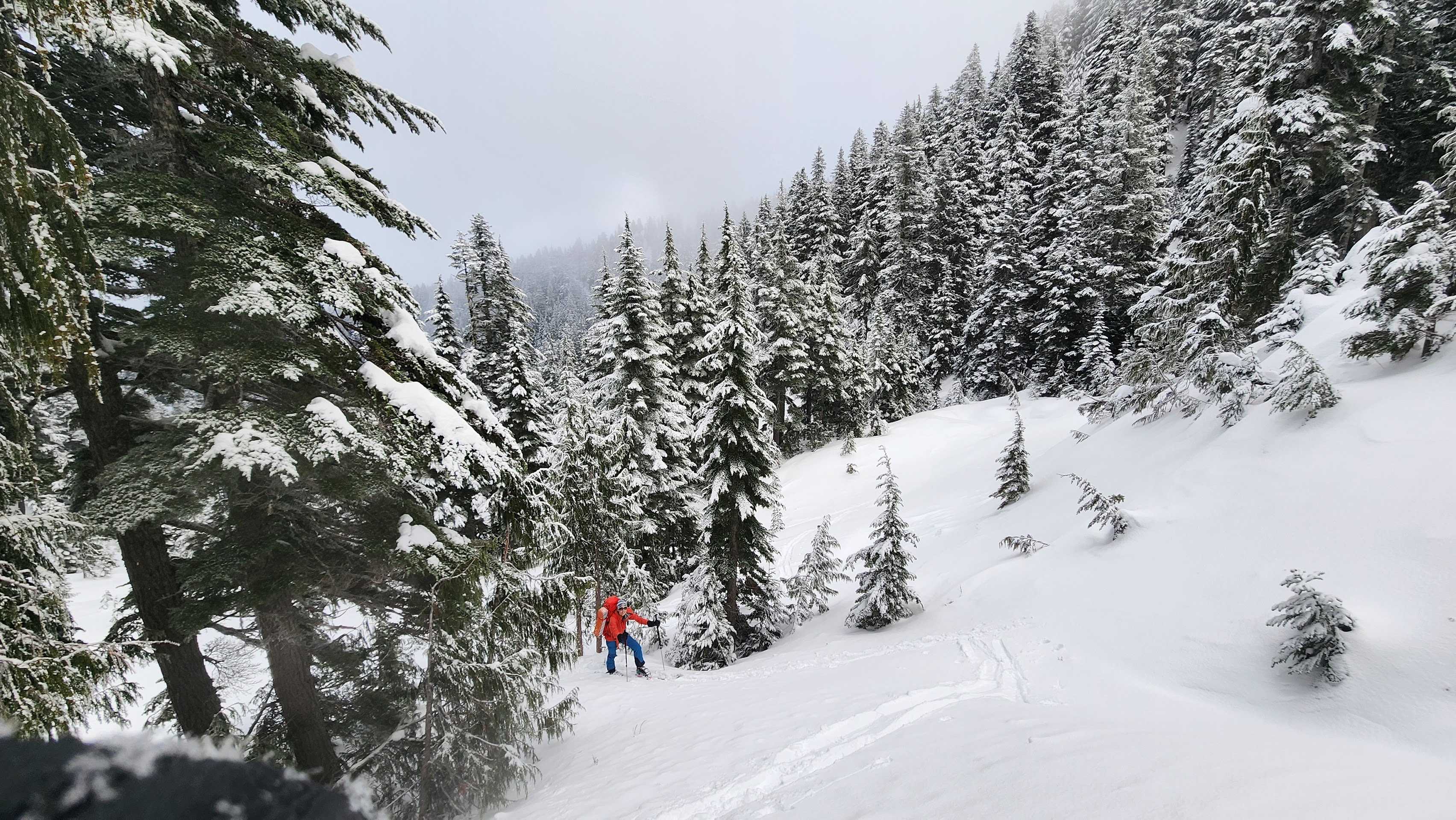
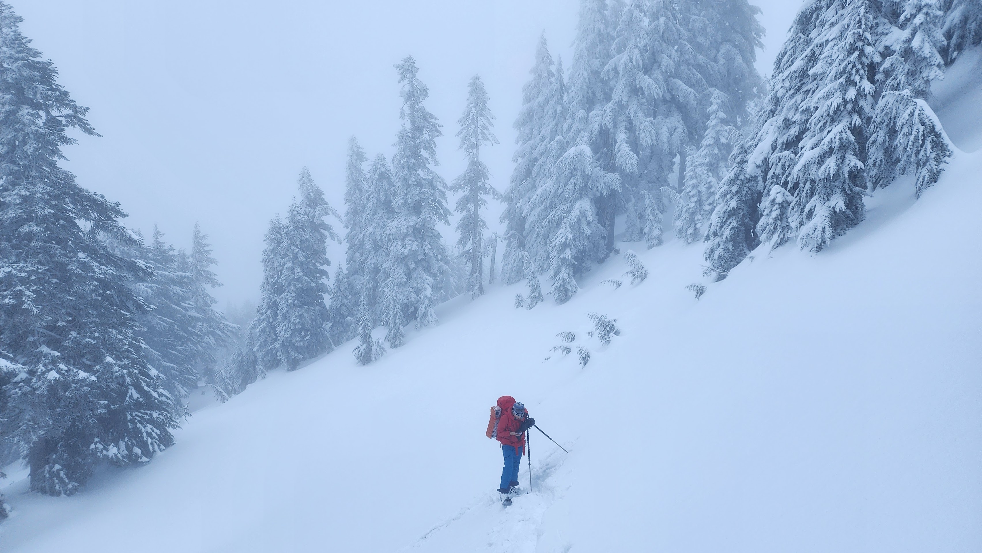
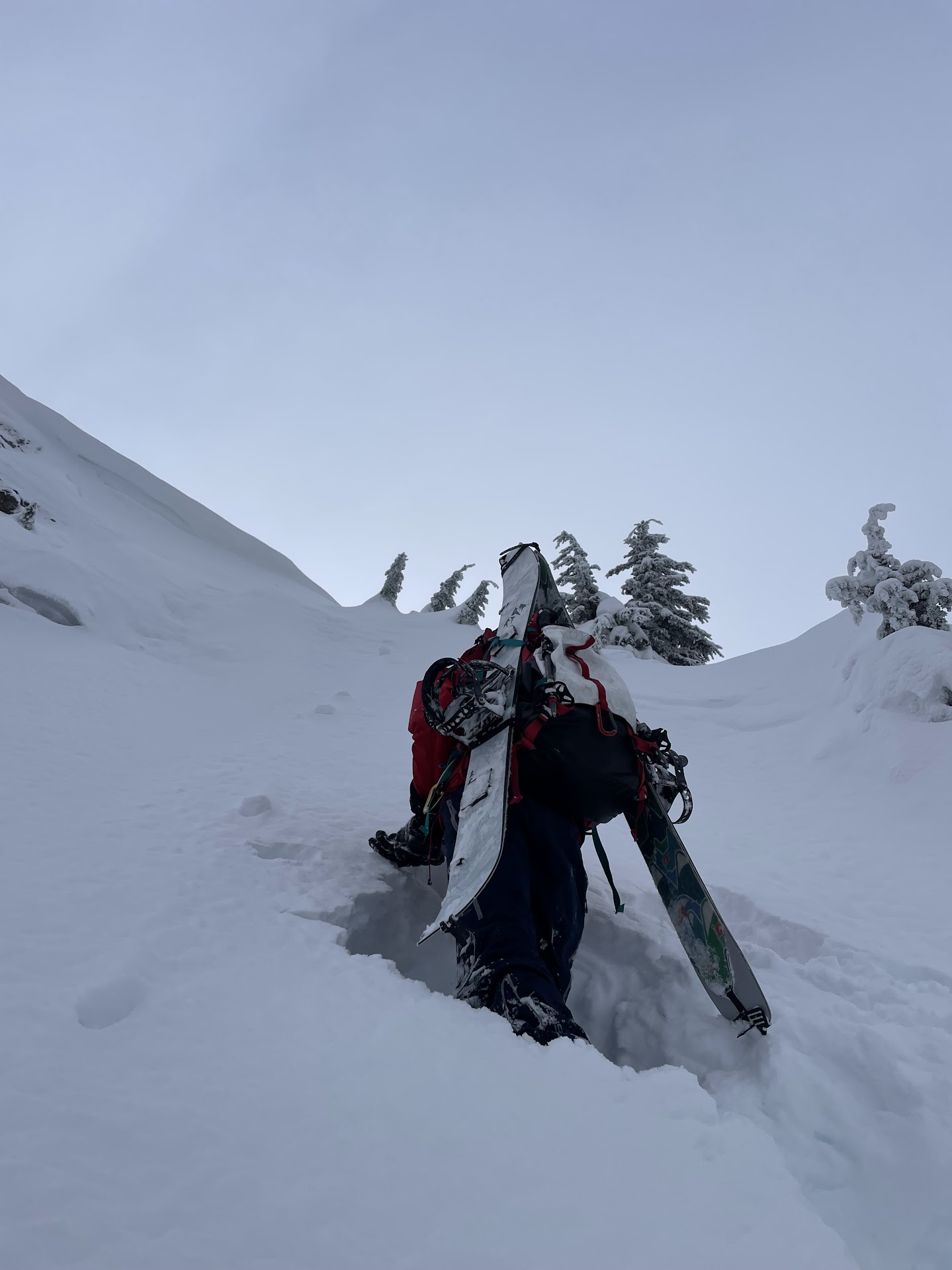
We started skinning up the mountain. I forgot my beacon in the tent like an idiot and had to backtrack a bit to grab it.
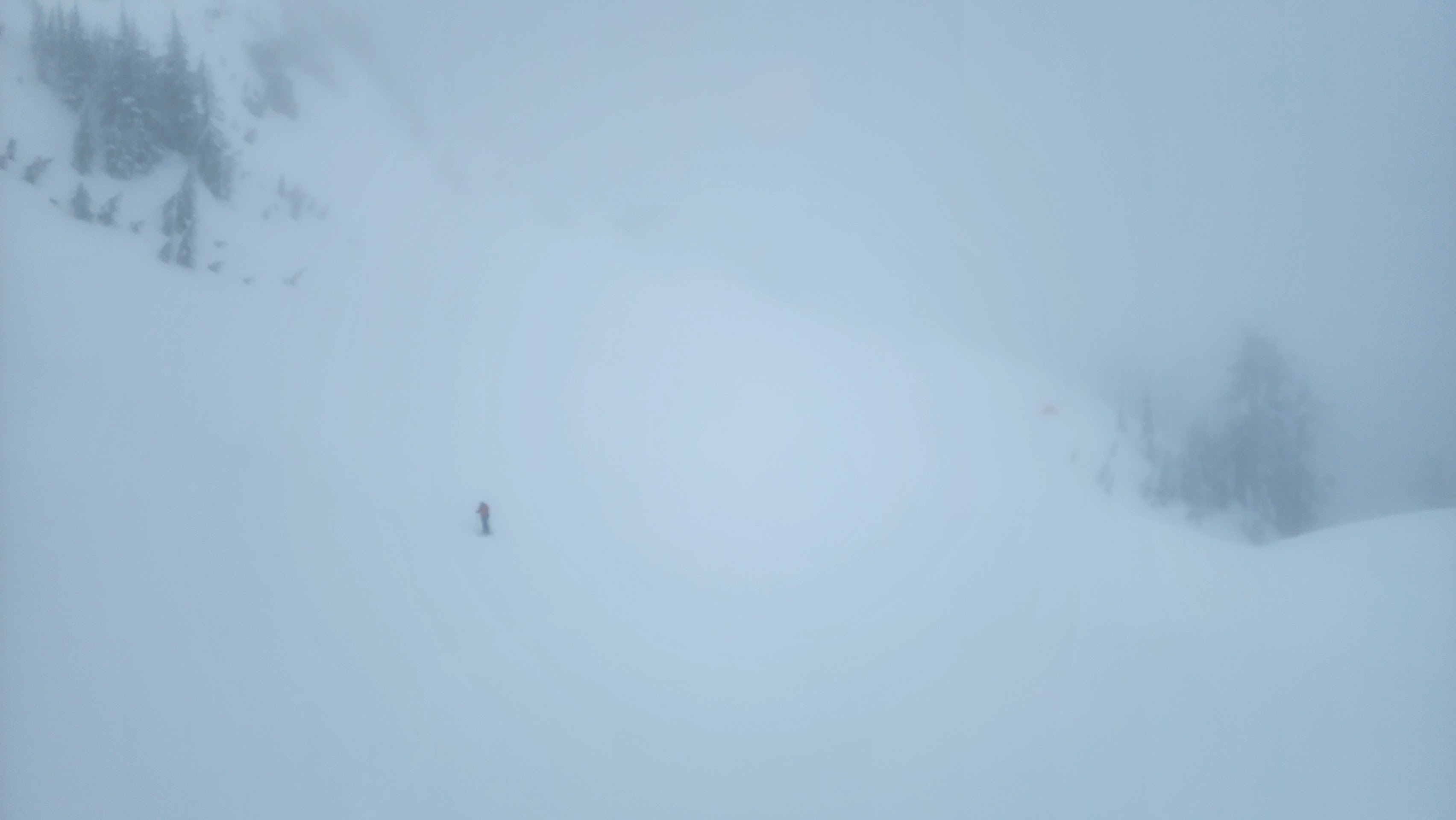
The visibility was quite bad at times
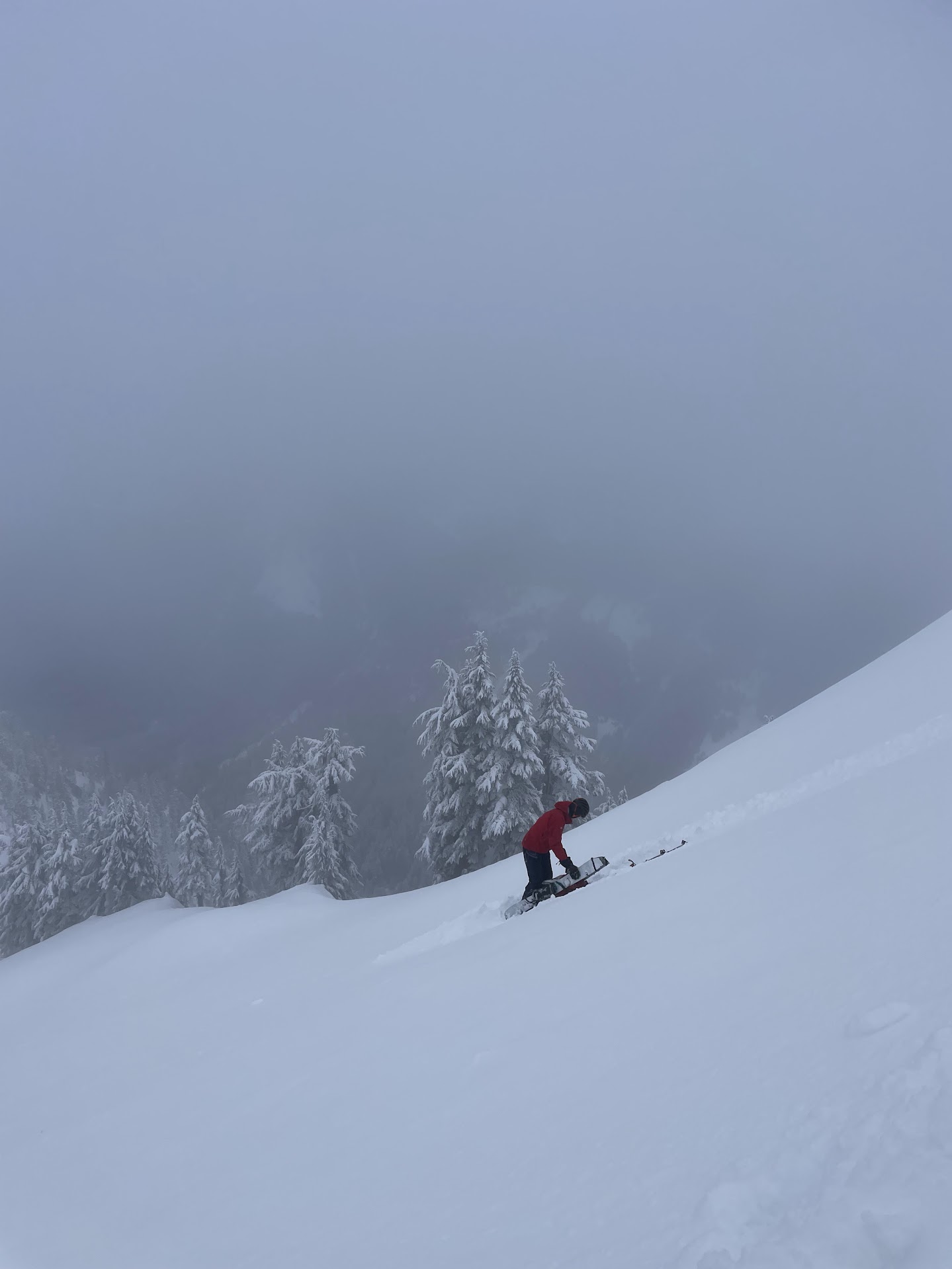
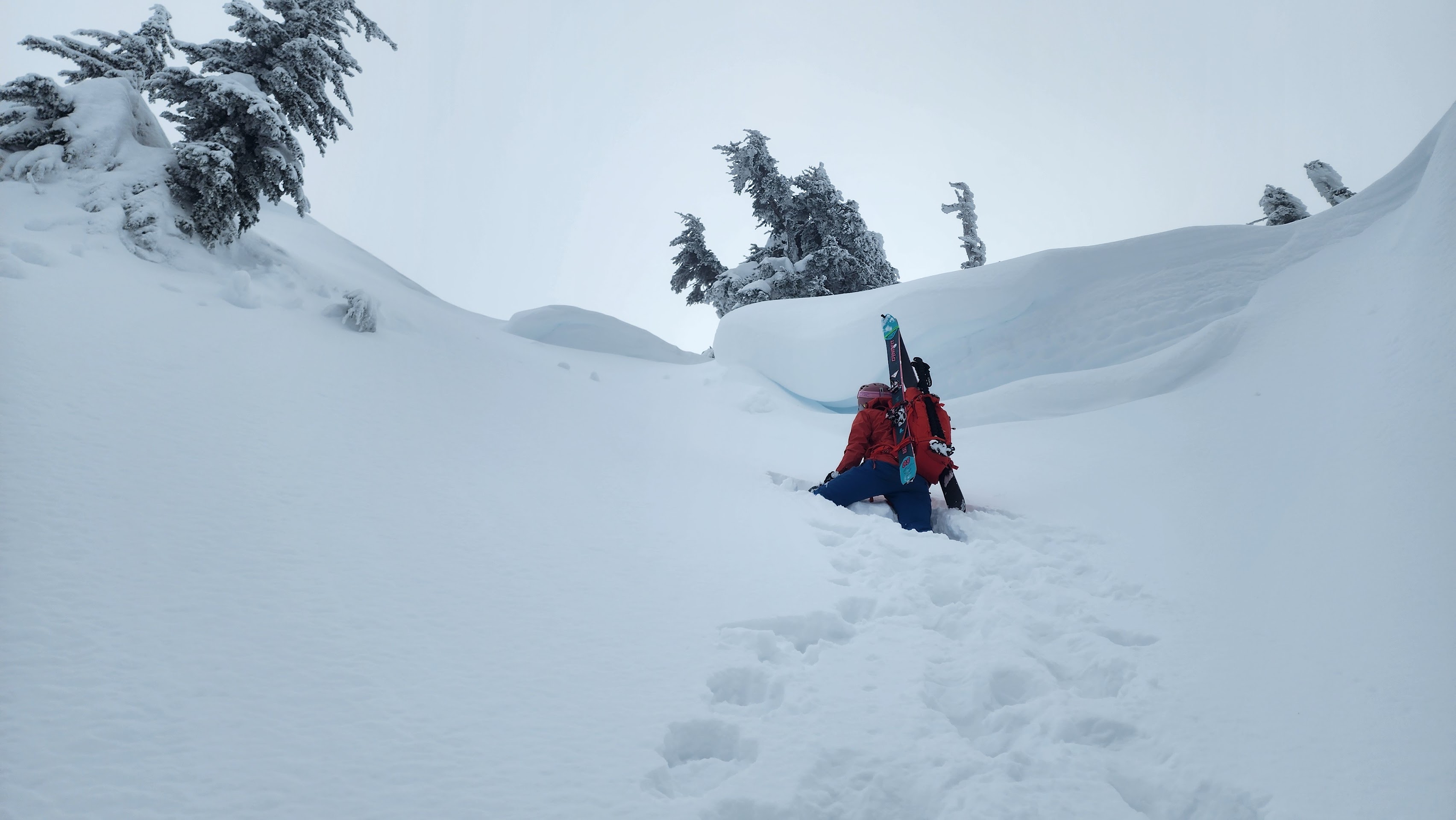
The snow was not good for skinning at all on the steeper slope. The layer of snow from the night before was sliding off while skinning, making it very difficult. We decided to switch to A-frame and pons.
Switching to A-frame
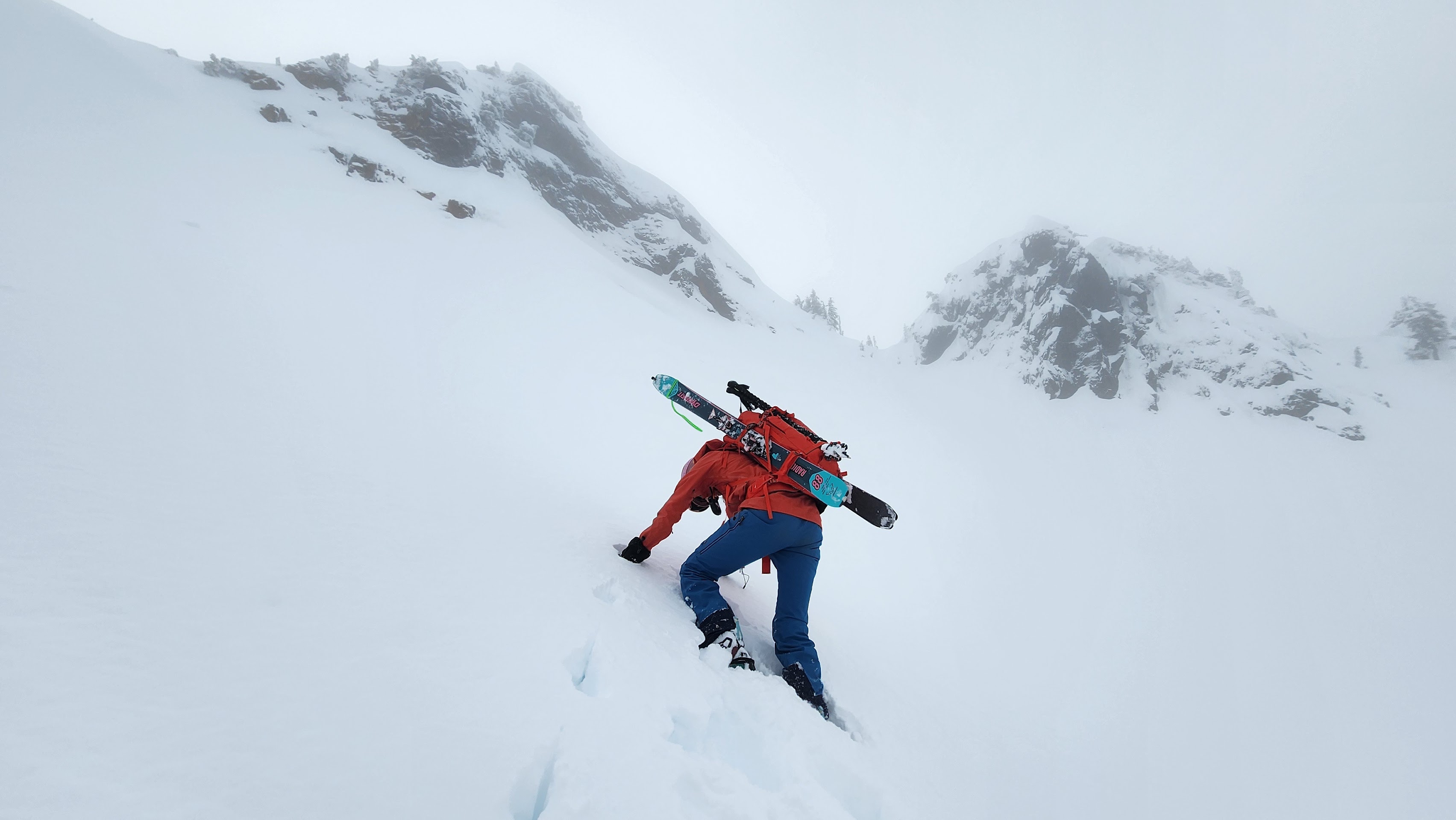
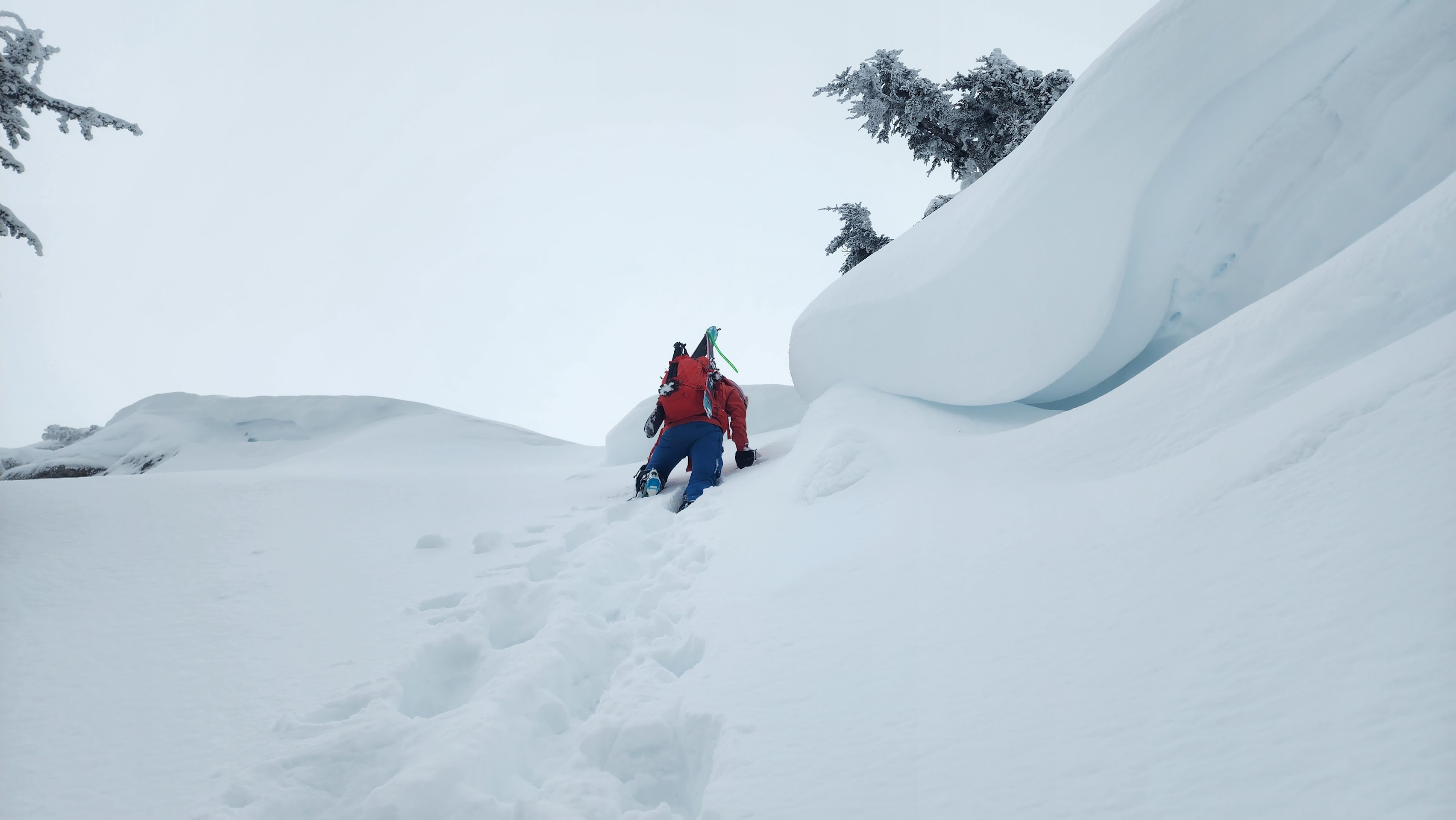
Headed up the North Face
Me taking the lead
We were definetly a little concerned about some of the cornice up above us. However, it was unlikely they'd fall that early in the day.
We were also worried about the persistent slab on north faces from 5000' to 7000' at the time. It dumped snow in mid-Janurary, then it heated up with high UV right after. We then hit a dry spell and the temps were super low. The slushy snow iced over and created a horrible sun crust. However, north faces that were high enough (about 5000' at minimum by my experimentation) still had powder snow. We had been skiing this recycled snow in hyper spesific areas that met these requirments. But when the snow came back, this turned into a nightmare persistent layer.
The North Face of Stickney perfectly met these requirments. The good thing was that it had been a few weeks since the new snow. I had brought snow science equipment just for testing the layer. But, we figured the layer must have been buried deep enough to not be a big threat; there was probably 2 feet of snow over the layer at that point.
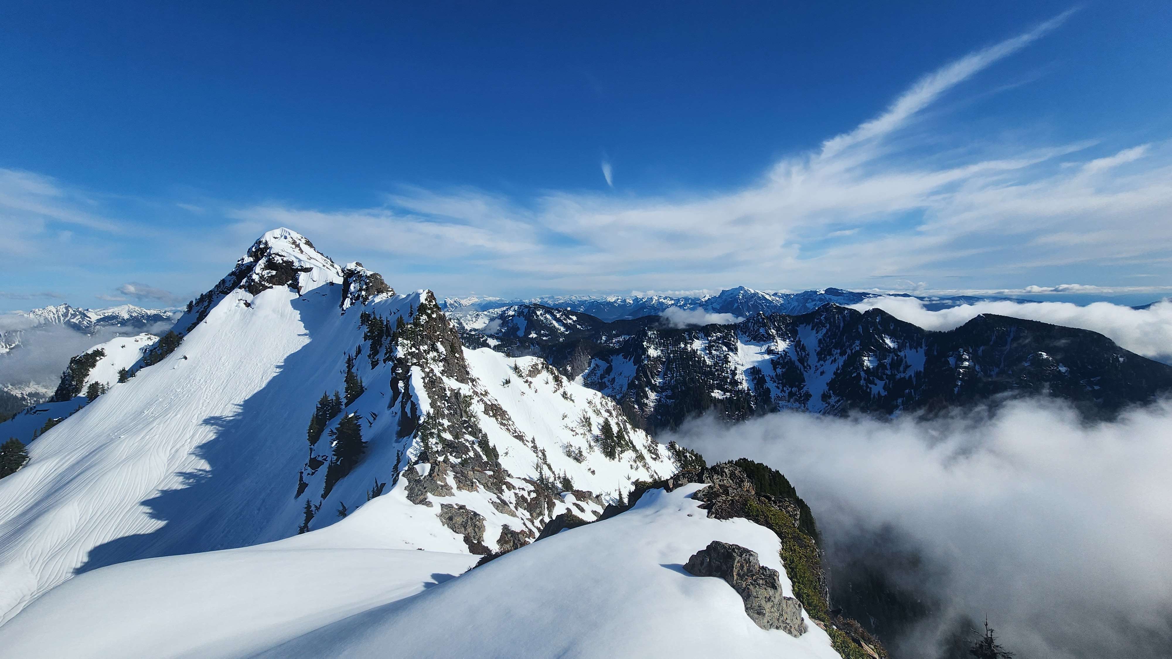
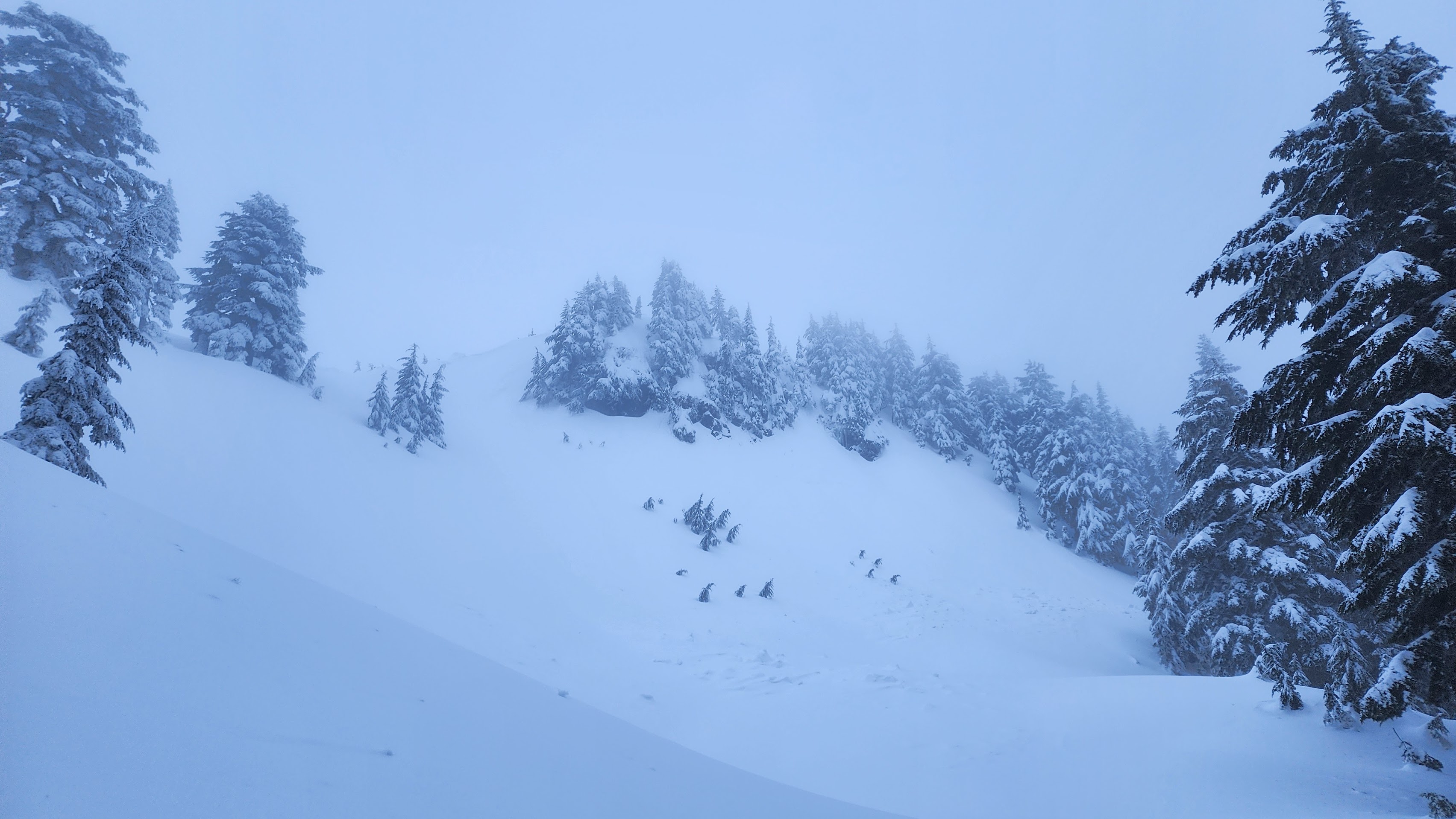
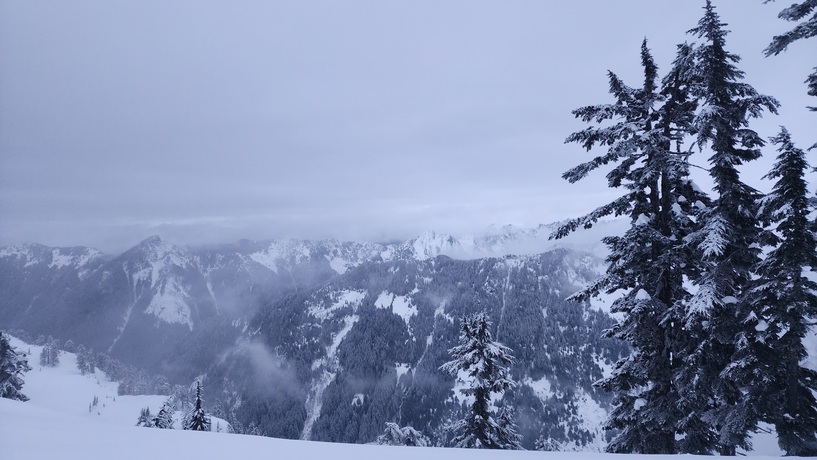
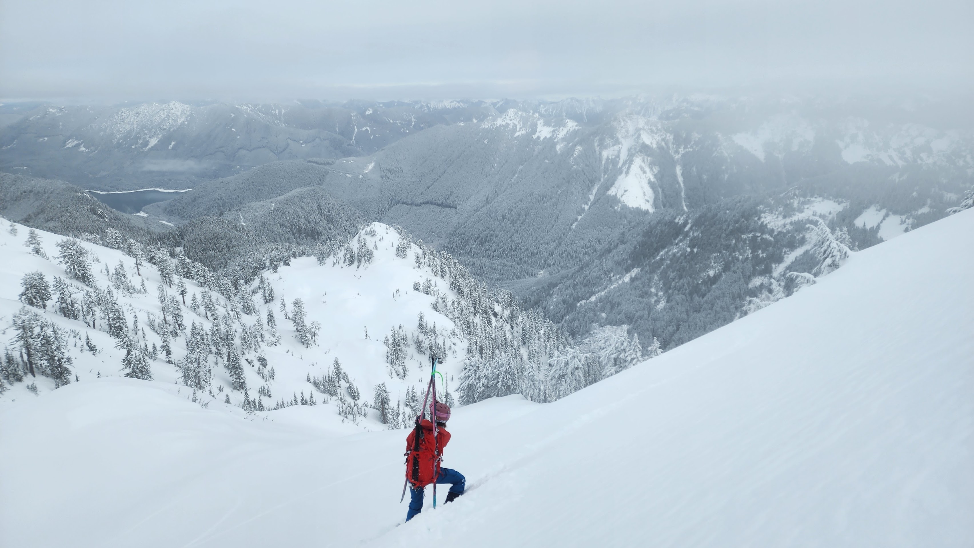
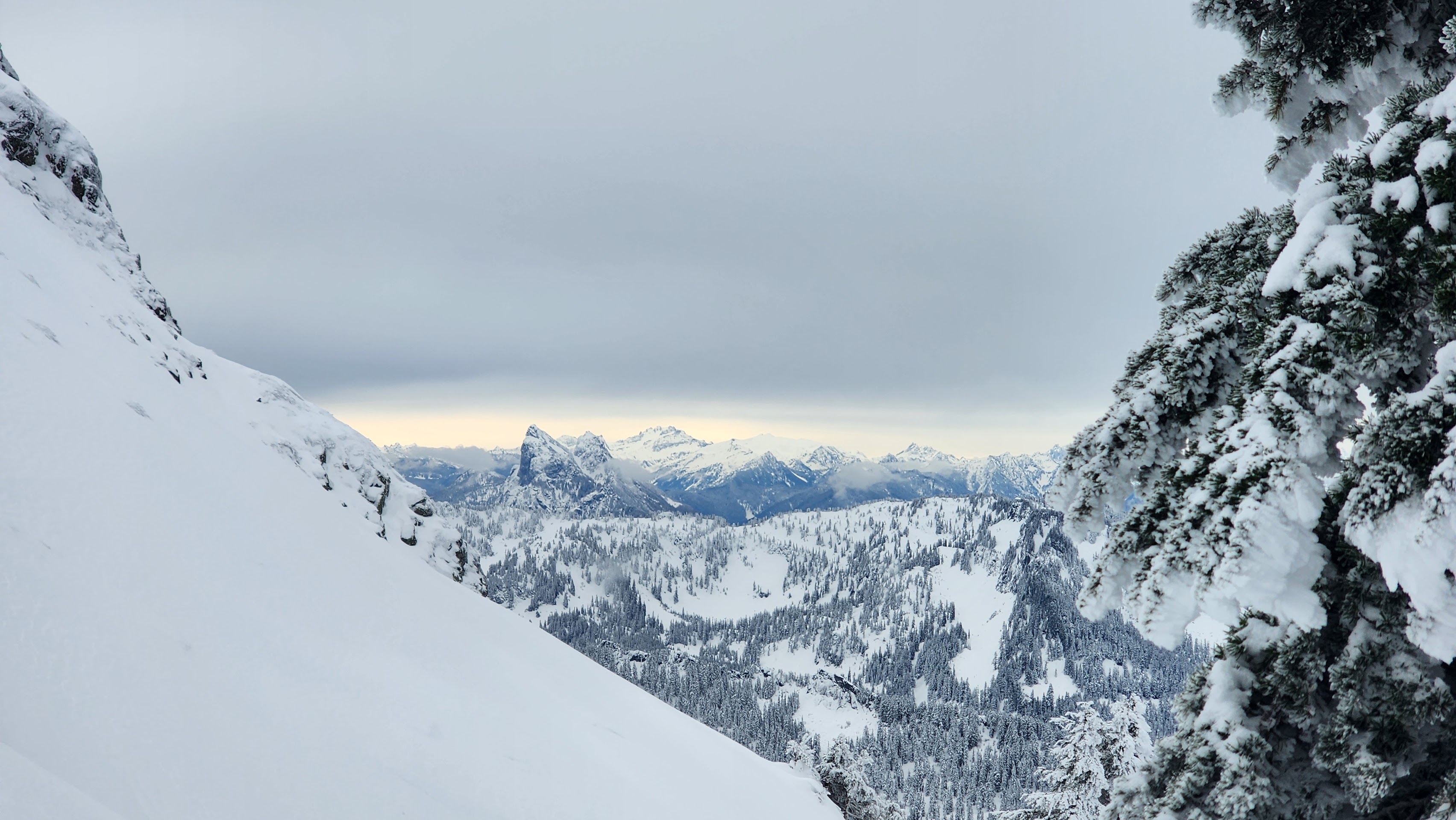
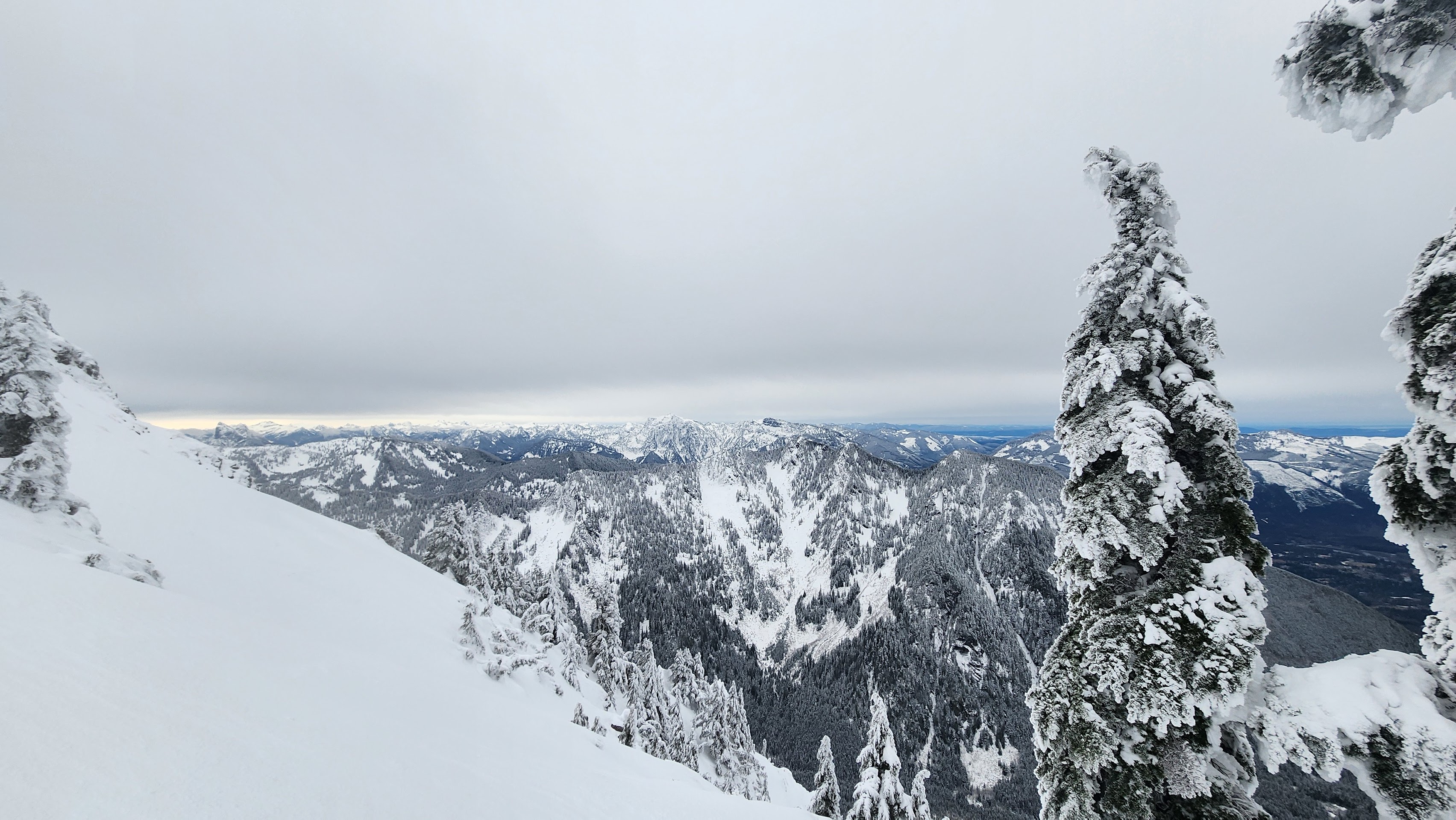
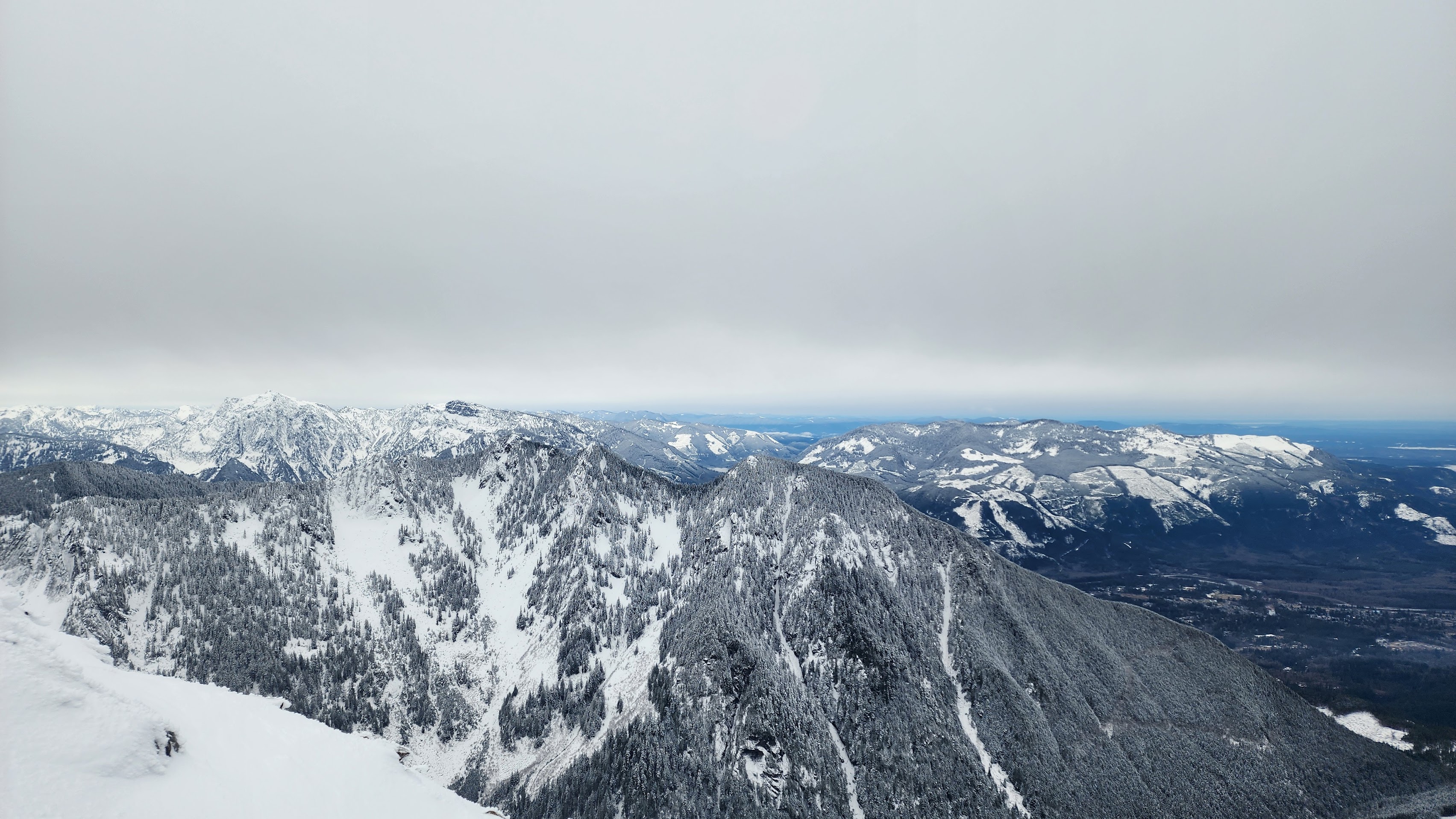
The best view we got so far — we could see all the way down to Spada Lake
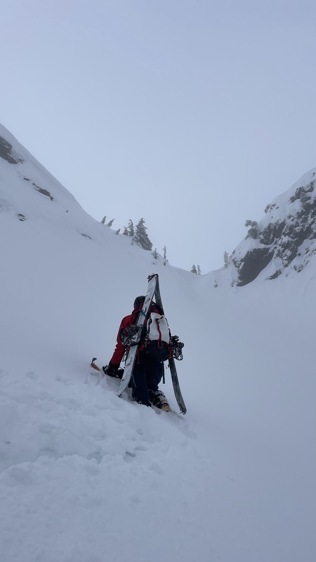
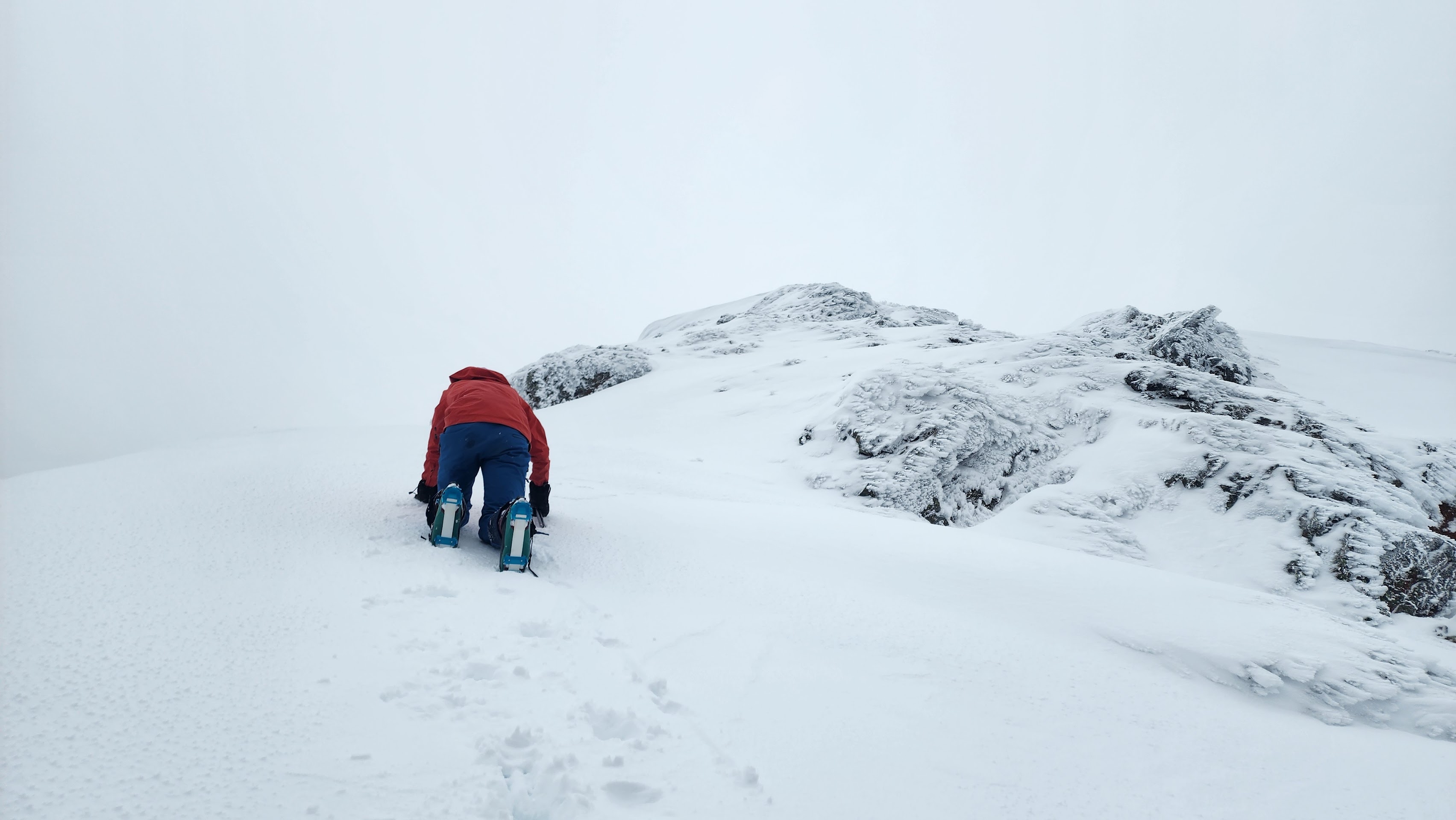
It took us a while of trying different routes to get up on the summit ridge. The snow was way steeper than we expected, and it was hard to get purchase in the powder.
Trying to head straight up to the trees
It got too steep and there was ice under the powder snow
Heading over to a different route
This route was working
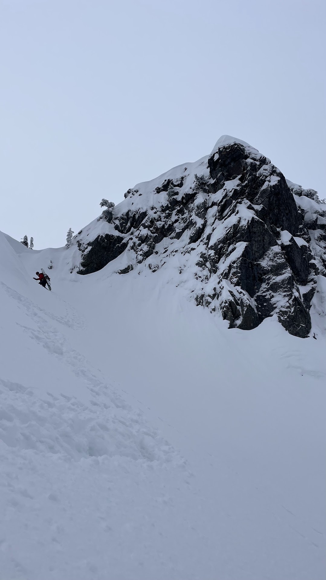
Weaving through the large cornices
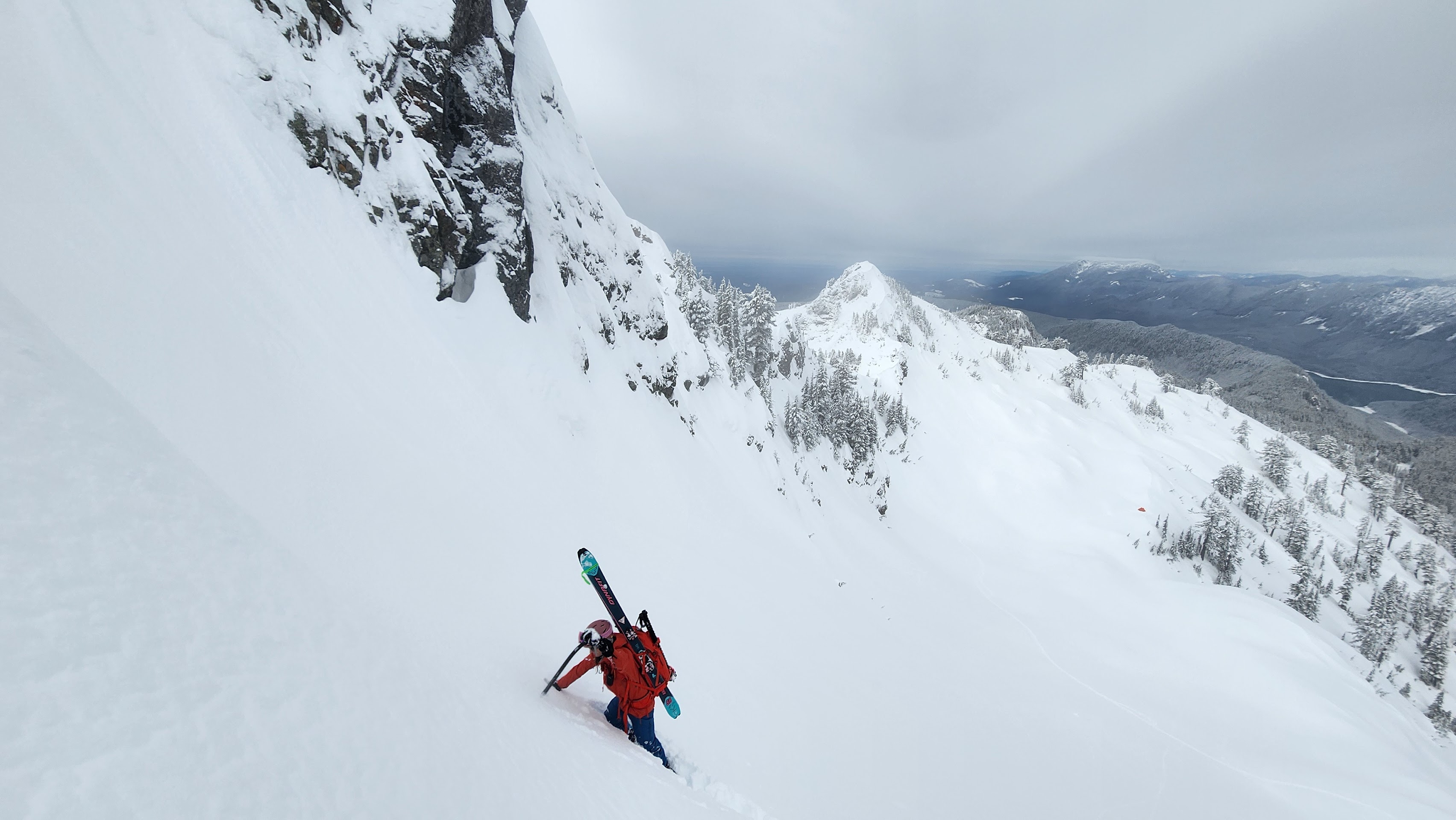
We got on the summit ridge and dropped our skis and packs in some small trees. The summit ridge was steeper than we expected and looked very icy and rocky.
Super cool view
Getting some good photos on the summit ridge
Cool
We got super lucky with the views. The fog went away and revealed where we were — on the closest real mountain to the valley we live in.
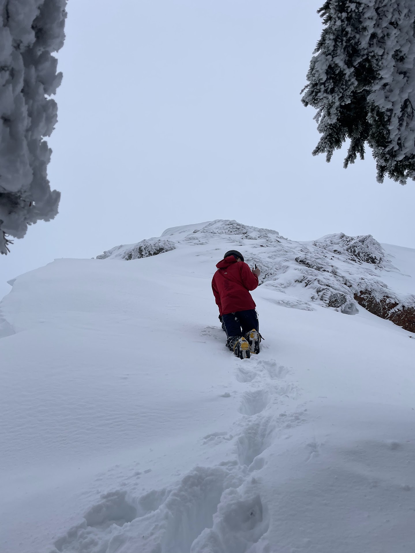
We started up the summit ridge. It was very icy with lots of rock sticking out. We could barely get our pons in the ice, and there wasn't much ice on the rock.
Heading up the summit ridge
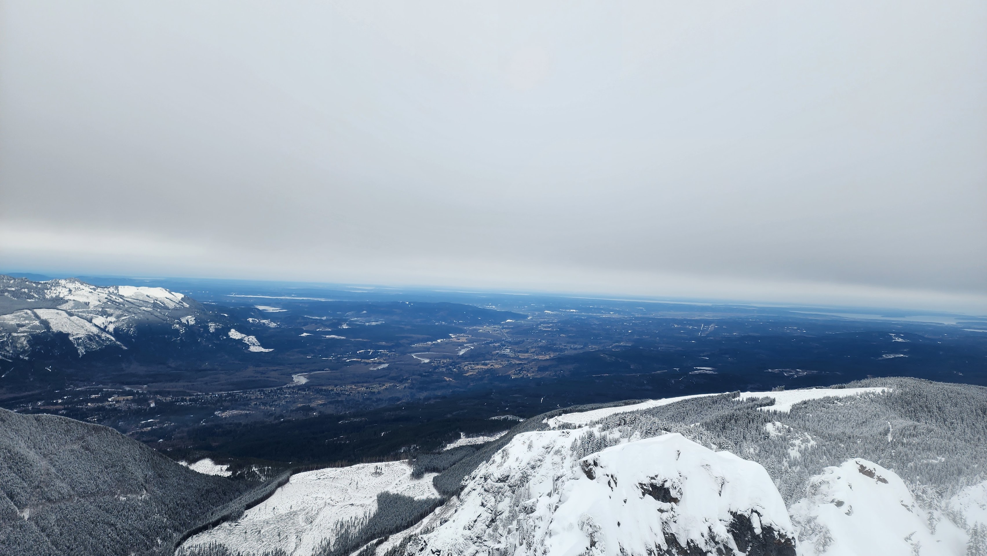
View of the valley
We almost made it to where the summit ridge flattens, but the rock and ice were too difficult to climb, especially with the exposure. A large piece of icy rock got in our way and there was no way around it. If we had a rope and a few ice screws, we could've protected it enough to probably get over it. But, clearly that wasn't the case. We decided to turn around and head back to the saddle.
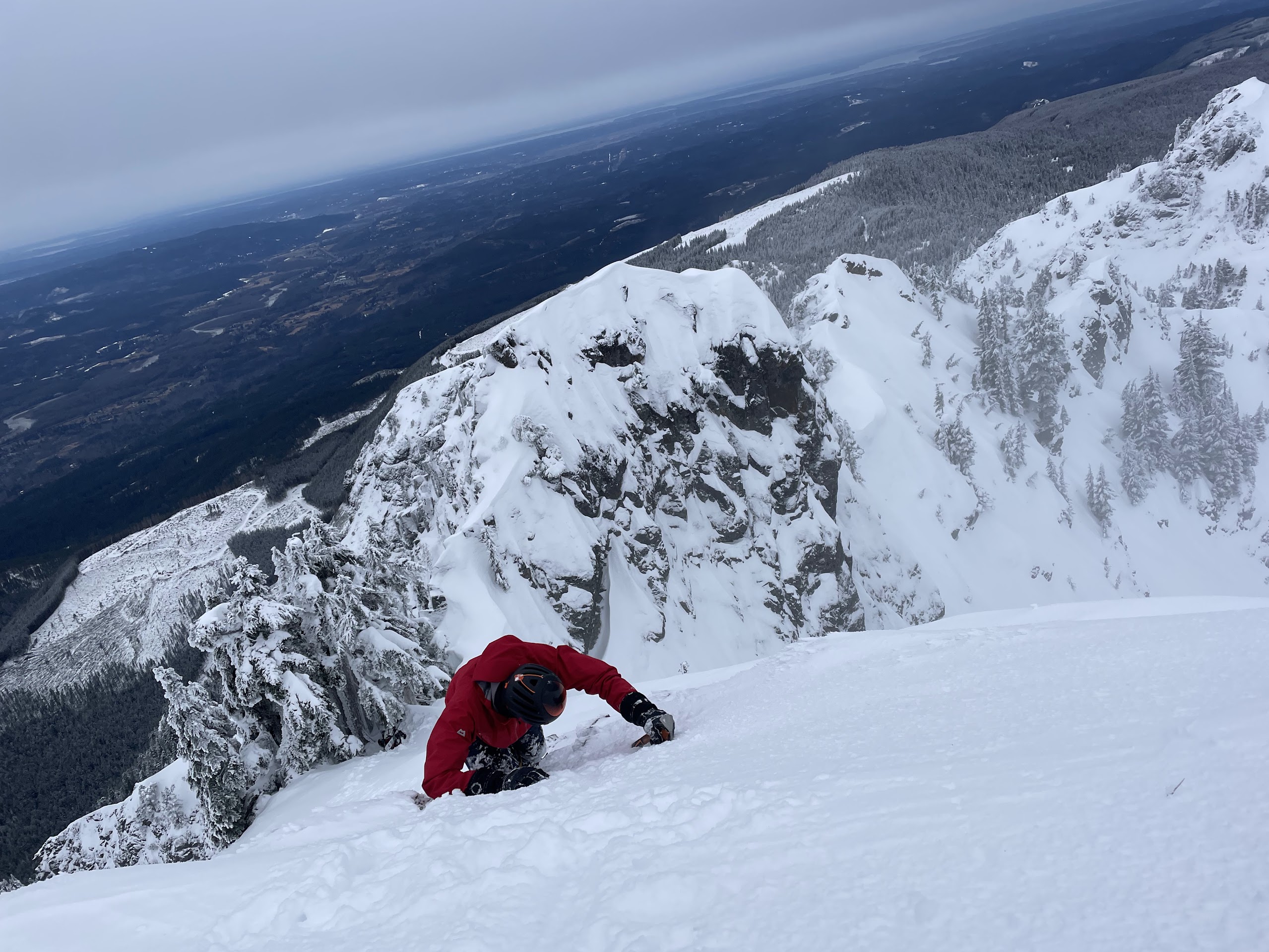
Downclimbing the ridge
Another cool photo
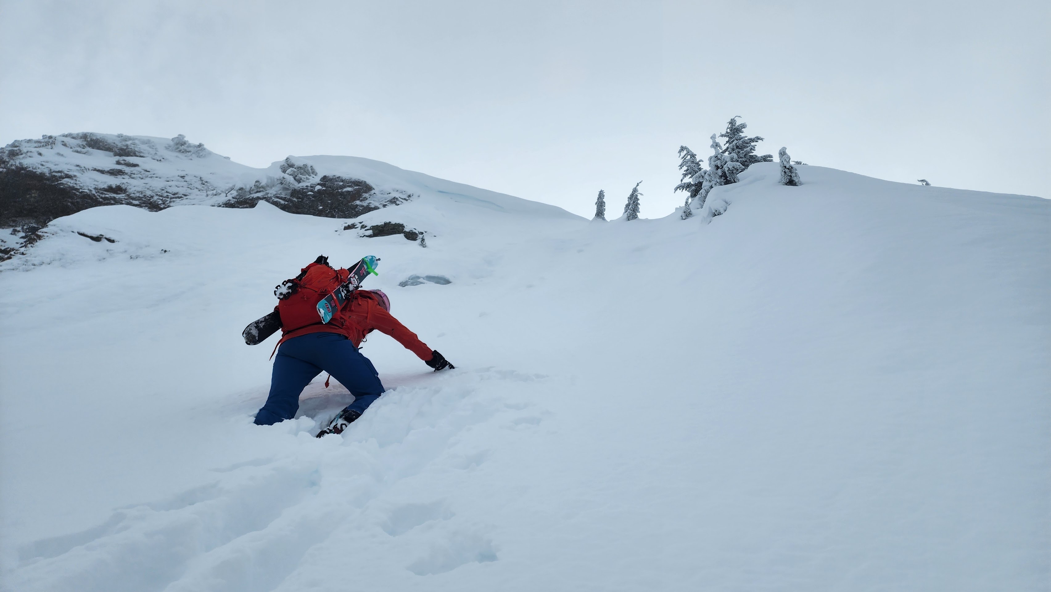
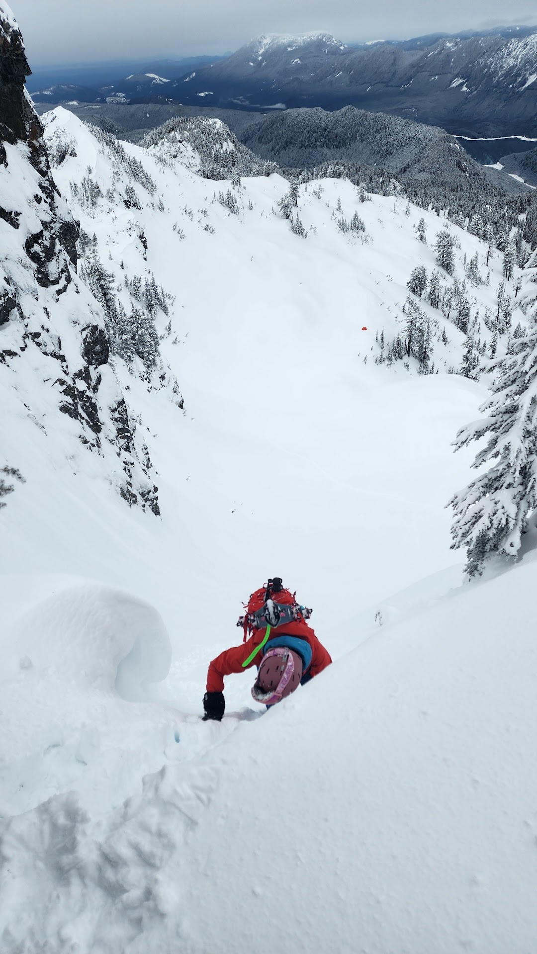
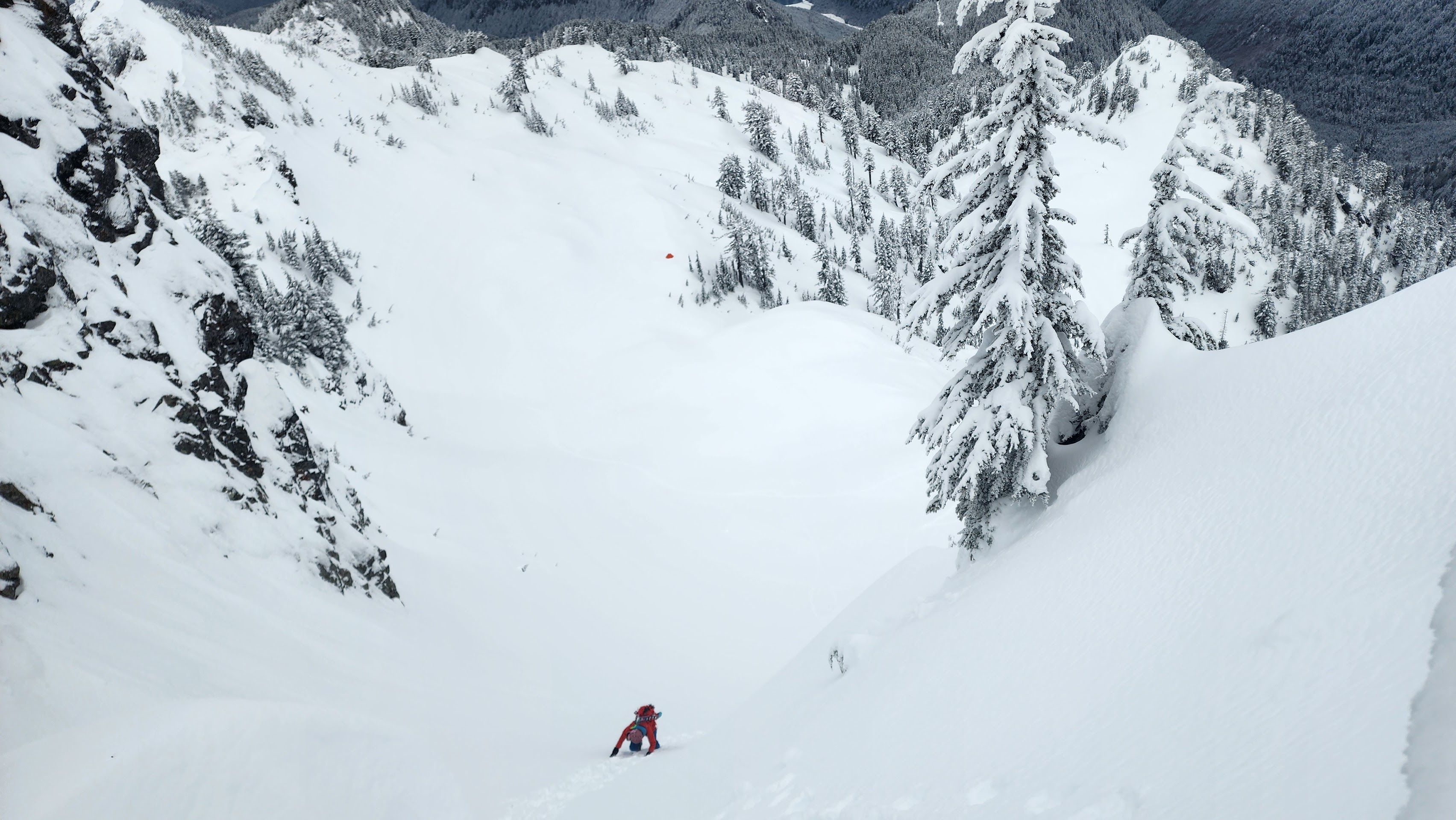
We got back to our packs and decided to downclimb a bit. I probably could've skied from the saddle, but the avy risk was high and the cornices were in the way. We went down just enough to get on the main part of the North Face — one at a time, just incase of an avalanche.
Downclimbing the steep sketchy snow
My partner almost off the sketchy part
Me getting off the sketchy part
I went down and made myself a nice little platform to transition on. My partner went a little lower down the face than me. I made a video that shows me boarding down and a few other videos from our ascent.
The video
We packed up our tent and skied all the way back to the turnoff from the road.
We could finally see the mountain
Our tent
I hit a hidden stump and flew into that little tree — I needed some help from my partner to get me unstuck haha
Back on the road
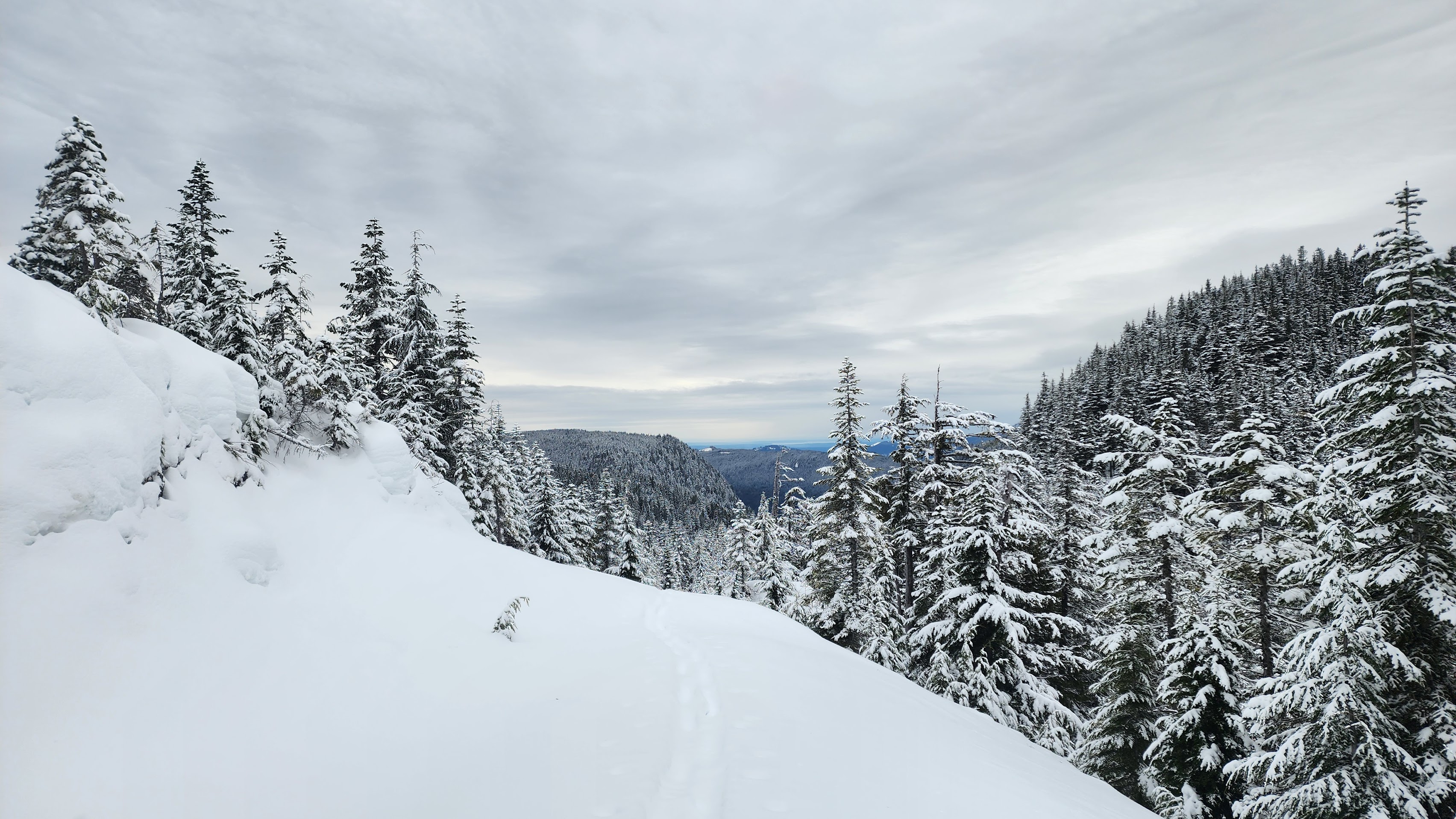
We switched to skins once we hit the road and we half skied down the road. There were too many creeks and flat sections for it to be worth taking the skins off.
The sun is back
Skinning out
The trees down low had lost most there snow, and the snow had turned to slush. The way out felt like it took forever, despite being able to go very fast. Not a short approach.
I was suprised to see that the Sultan Basin Road was still mostly covered in snow, so we got to skin all the way back to the car.
I'm still a little disapointed that we didn't summit and get the first ski descent off Stickney's summit, but what we did ski was super cool. It was interesting to see the Spada Lake Mountain Range in the winter — it's one of the most untouched mountain ranges in all of Washington, especially in winter.
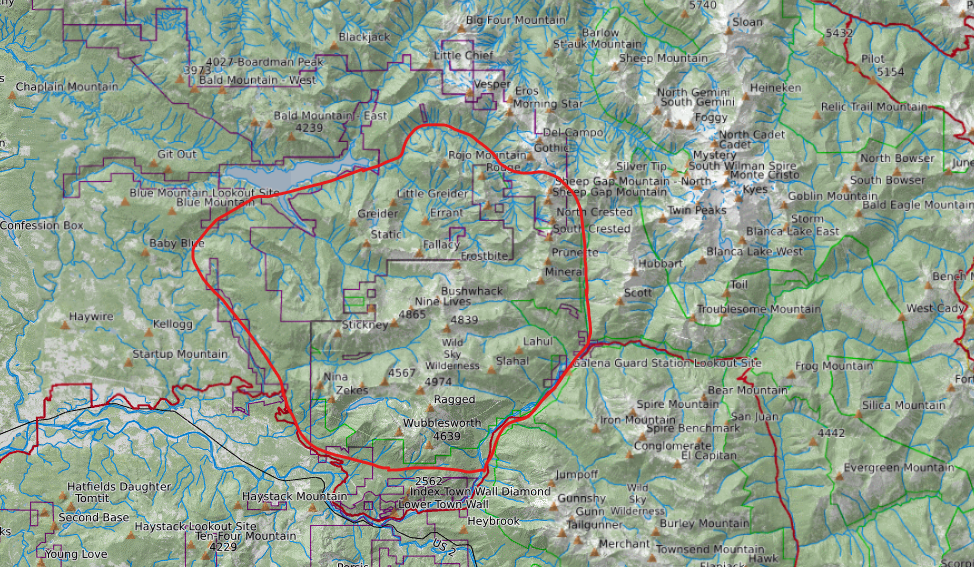
I want to do more in this untouched mountain range. It is the most local mountain range to me, which makes it more interesting.
The area in red is what I'd consider to be the Spada Lake Mountain Range for reference
There is the "Ragged Ridge" Mountain Range, however, I feel like the mountain ridge the Crested Buttes are on fits into this area. The "Ragged Ridge" Mountain Range also includes Blue Mountain and friends, which I don't feel like fit into this highly untouched range.