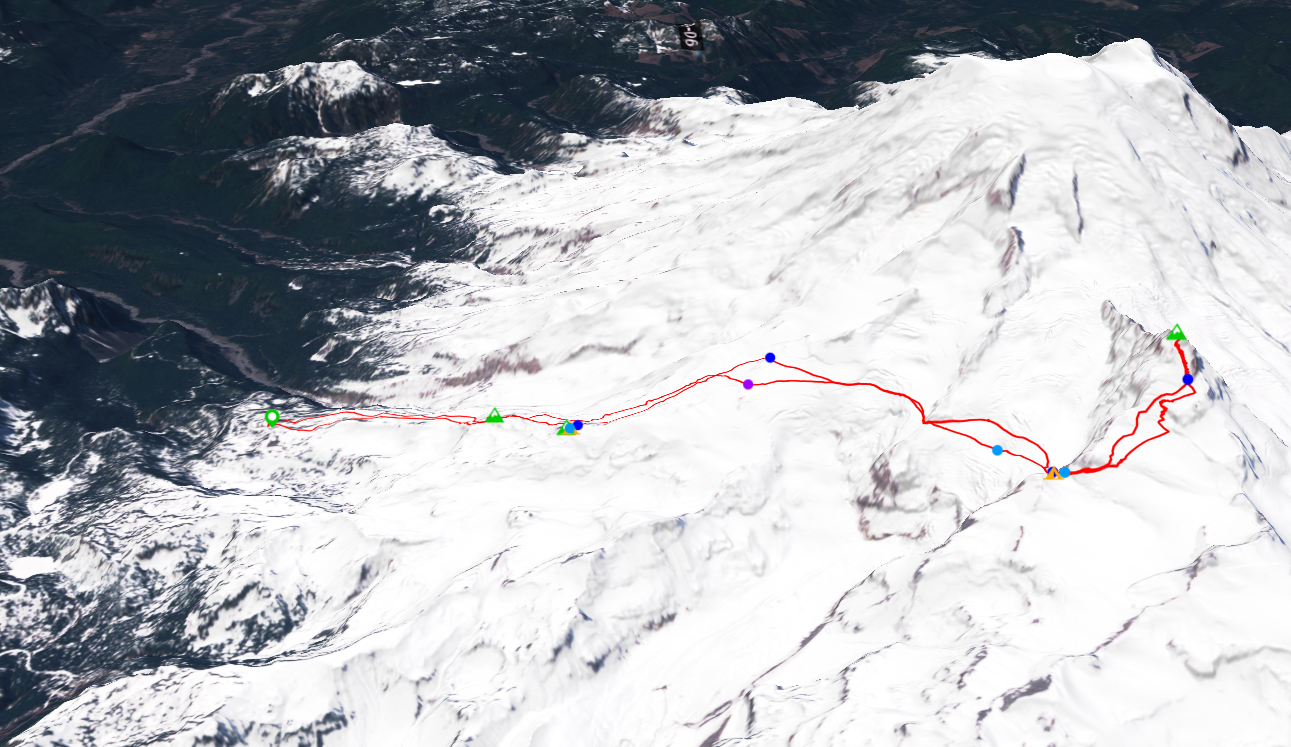
The mountains had got a good refresh of 1-2 feet of snow over the week. A heat wave was coming in over the weekend along with stable, sunny weather. We decided to plan our summit day for Saturday the 4th as it was the sunniest day of the weekend. We decided to plan the 5th as an extra day, as getting back to the parking lot before 15:30 to make it out before the 16 gate closure on saturday seemed difficult.
We left early Friday the 3rd to ensure we got to the gate before the 9 opening. After a while of waiting, the gate opening a bit after 9, just about on time. We filled out our trip info at the a-frame; fortunetly I had already paid the yearly climbing fees when I did Rainier in Janurary. It's nice to not have to pay for camping permits too, as is typical in summer.
After dealing with everything, we started skinning from the lower lot at 10. Unfortunetly, there was no skinner from the lower lot that connected to the main track, so I had to set one from 5400' to 5600'.
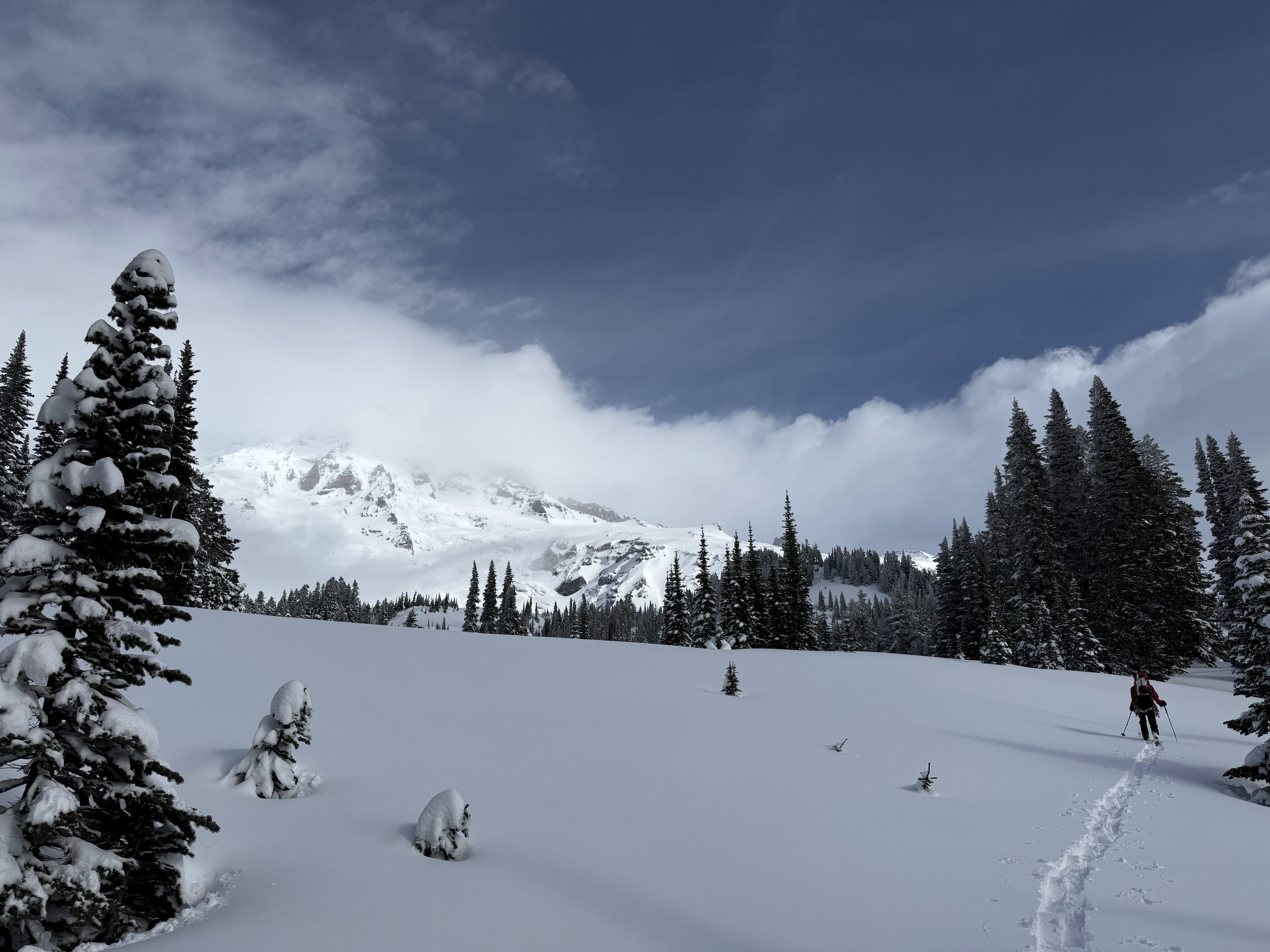
Me setting a skinner up to the main track through the fresh powder
It was easy going after connecting to the main track. However, the heat was relentless; I was completely stripped down to my base layers till Panorama. We were able to skin up Panorama Point, which was much nicer than in Janurary. I finally walked out to the true summit of Panorama Point after passing by it every other time.
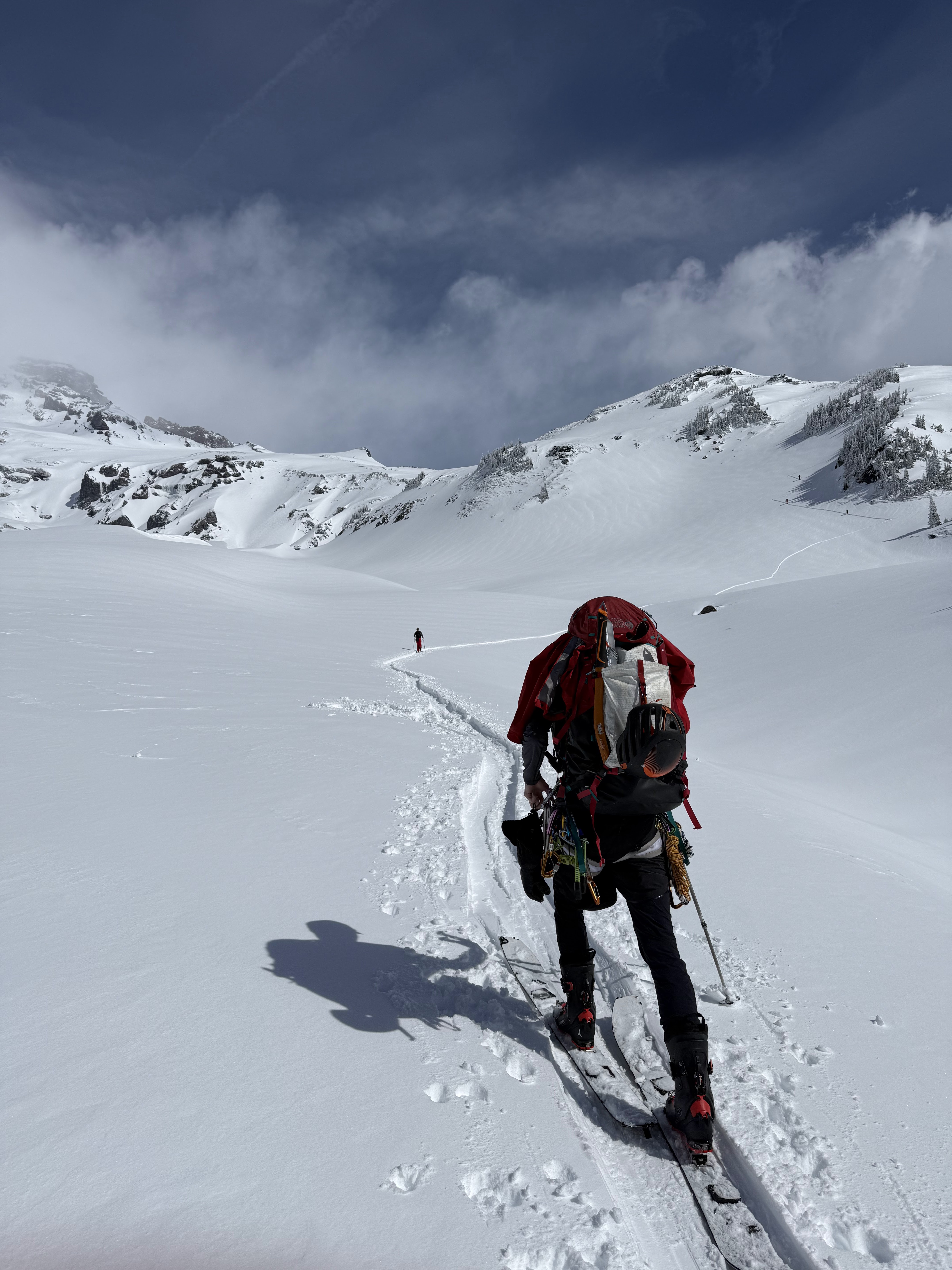
Enjoying the preset skinner
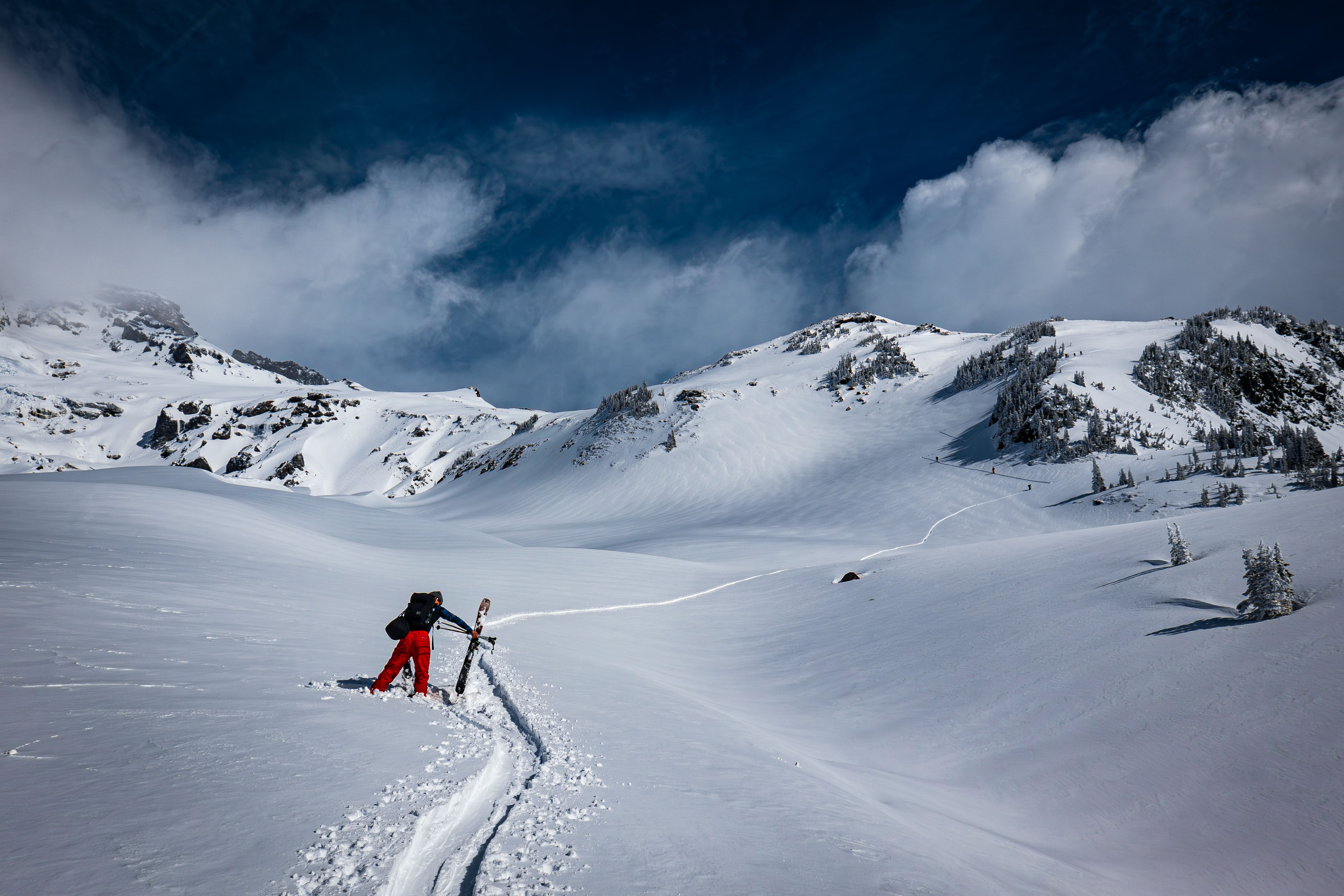
Looking up at Panorama Point and the Muir Snowfield; the fresh snow made everything beautiful
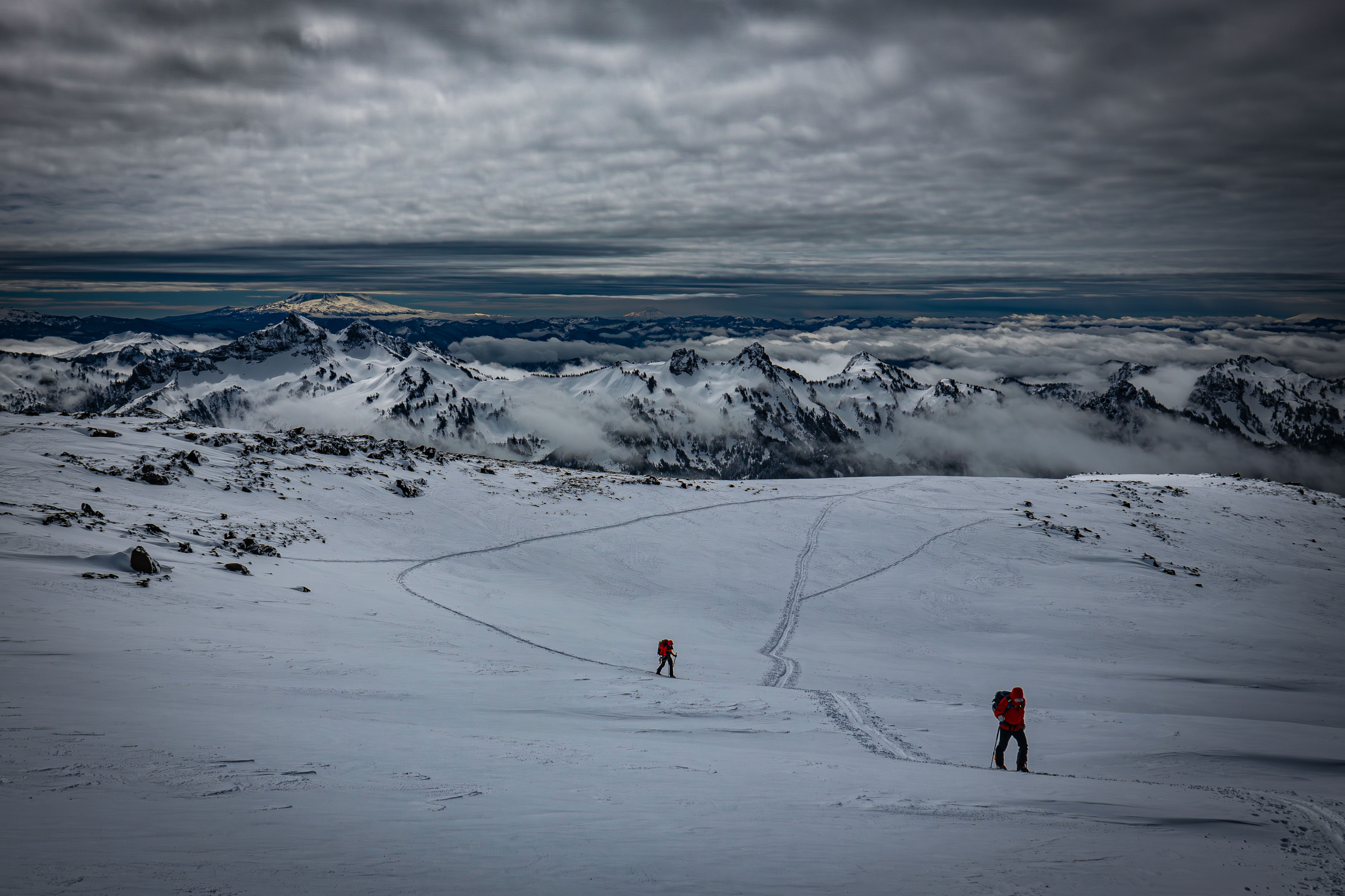
Skinning above Panorama as the clouds rolled in — and yes I did set that curvy skinner to save 20 vert
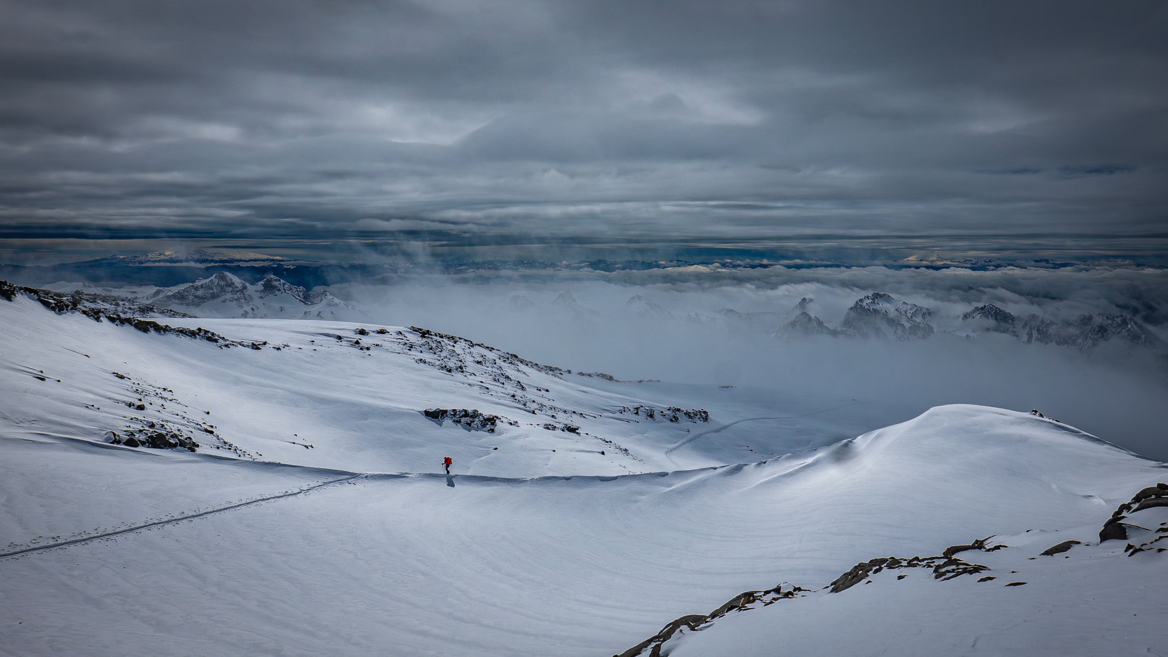
There was lots of wind affected snow higher up
The increasing clouds turned it to near a whiteout above 8000'. We turned off from the main track around 8300' and headed towards the Paradise Glacier; most people turn off much sooner, but we figured it was better to take advantage of the preset skinner for as long as possible. We decided to rope up as soon as we hit the Paradise Glacier at 8460' due to the low visibility.
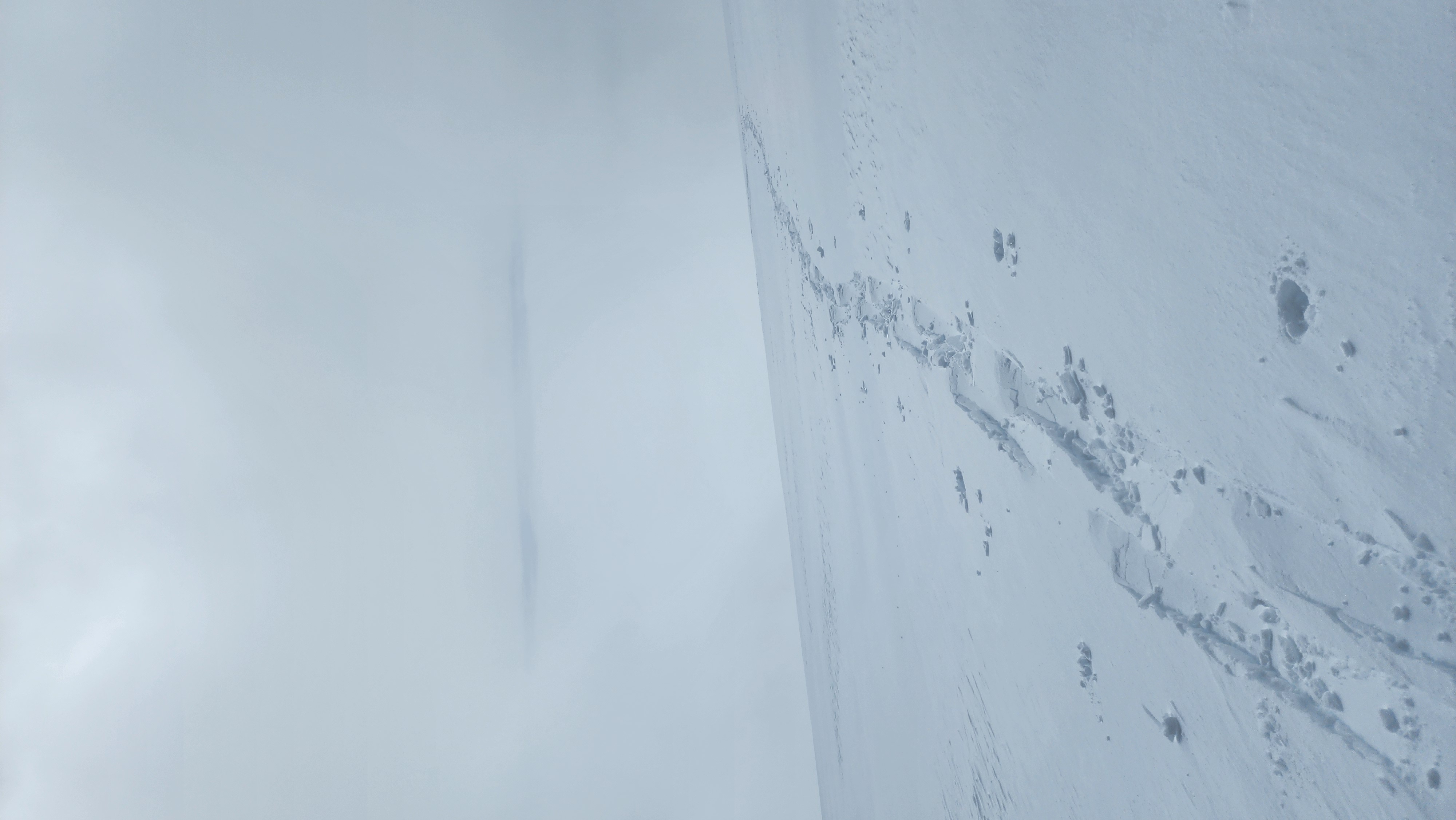
Setting a skinner towards the Paradise Glacier; you can tell the high density of the snow by the odd skin track
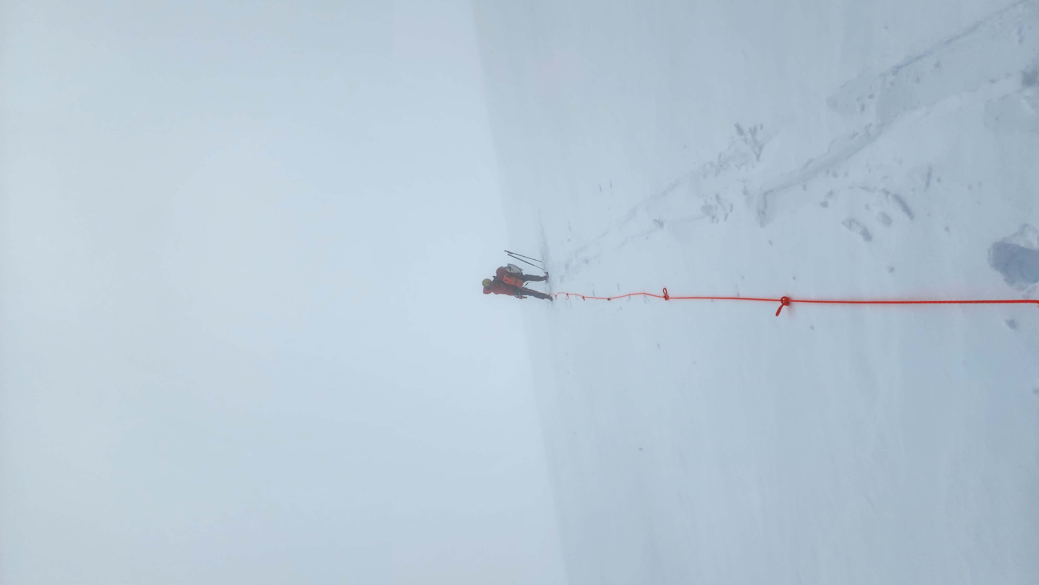
Roping up on the Paradise Glacier in the near whiteout
After a while of skinning across the long Paradise Glacier, we finally made it out of the clouds.
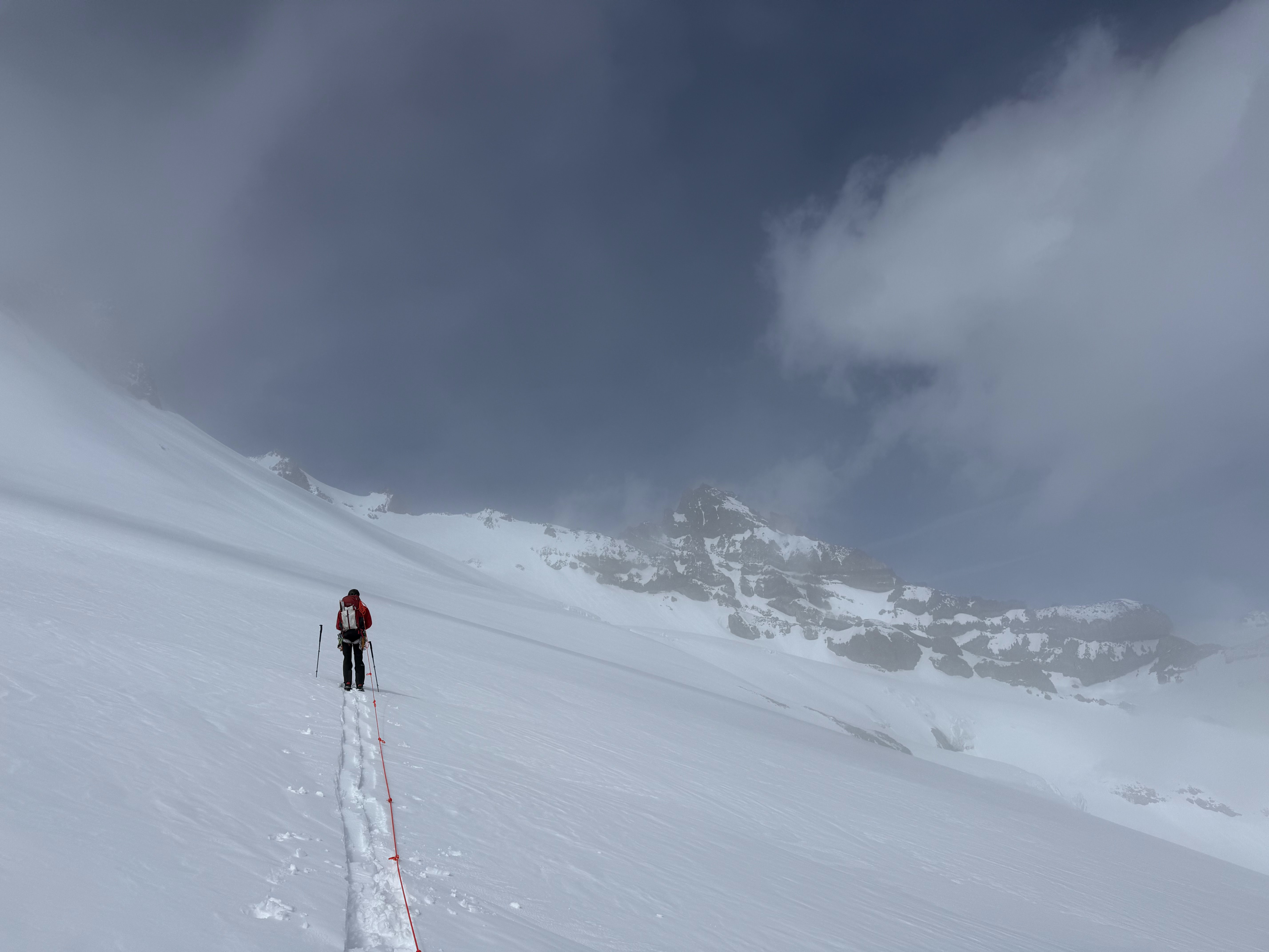
The first sight of Little Tahoma
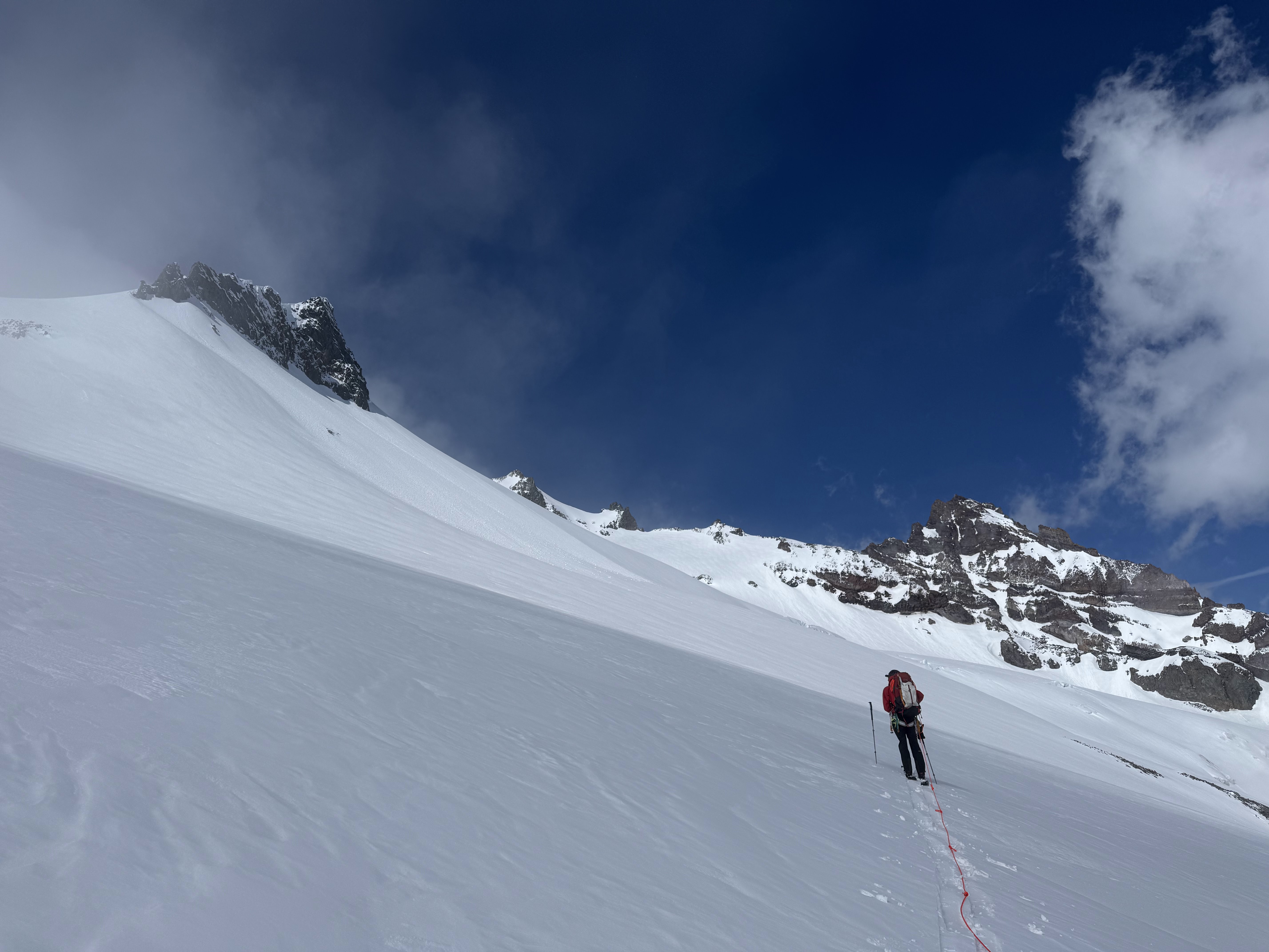
Lots of wet loose debree on Anvil Rock, indicating the warm temps
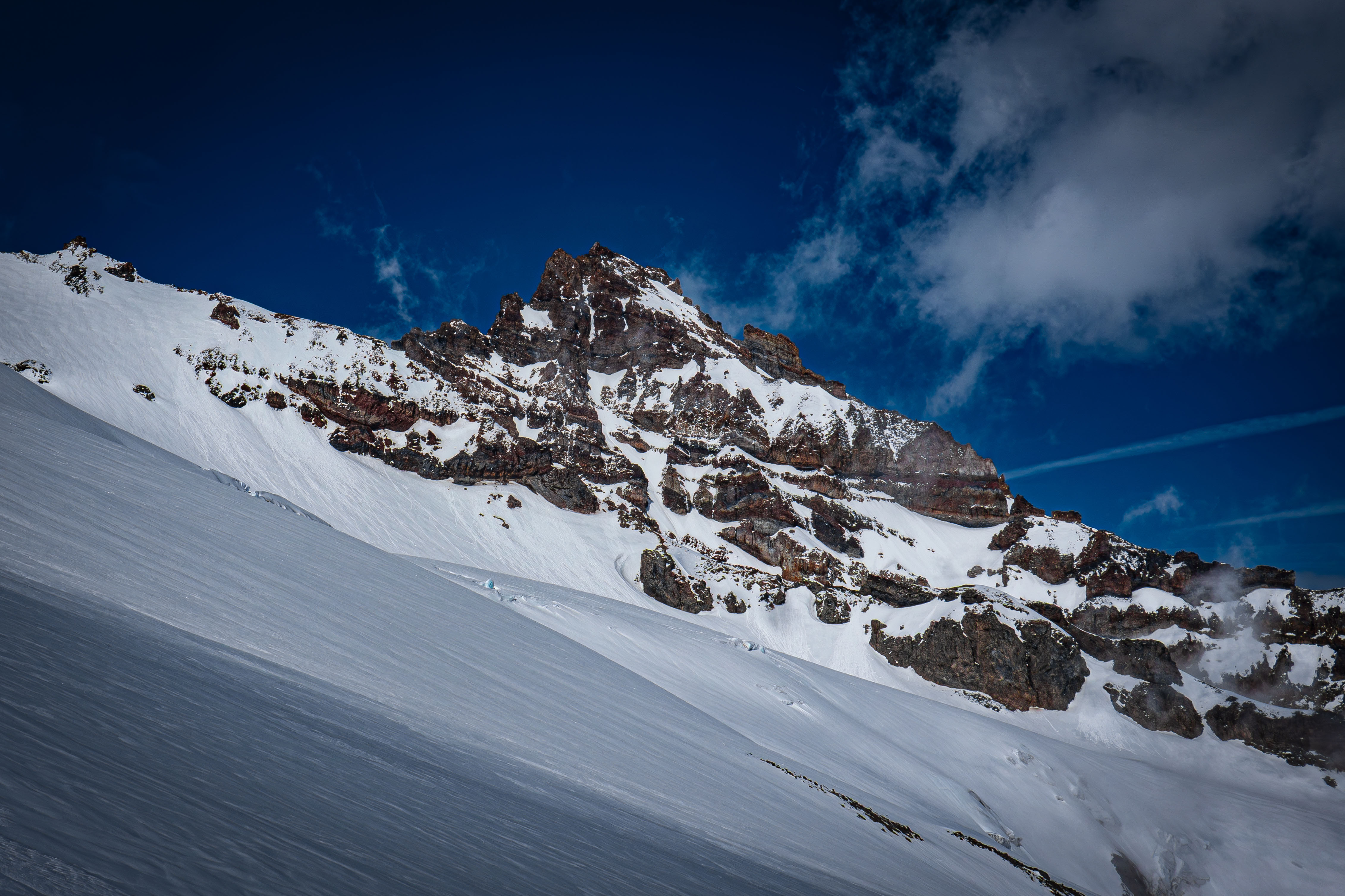
Little Tahoma out of the clouds
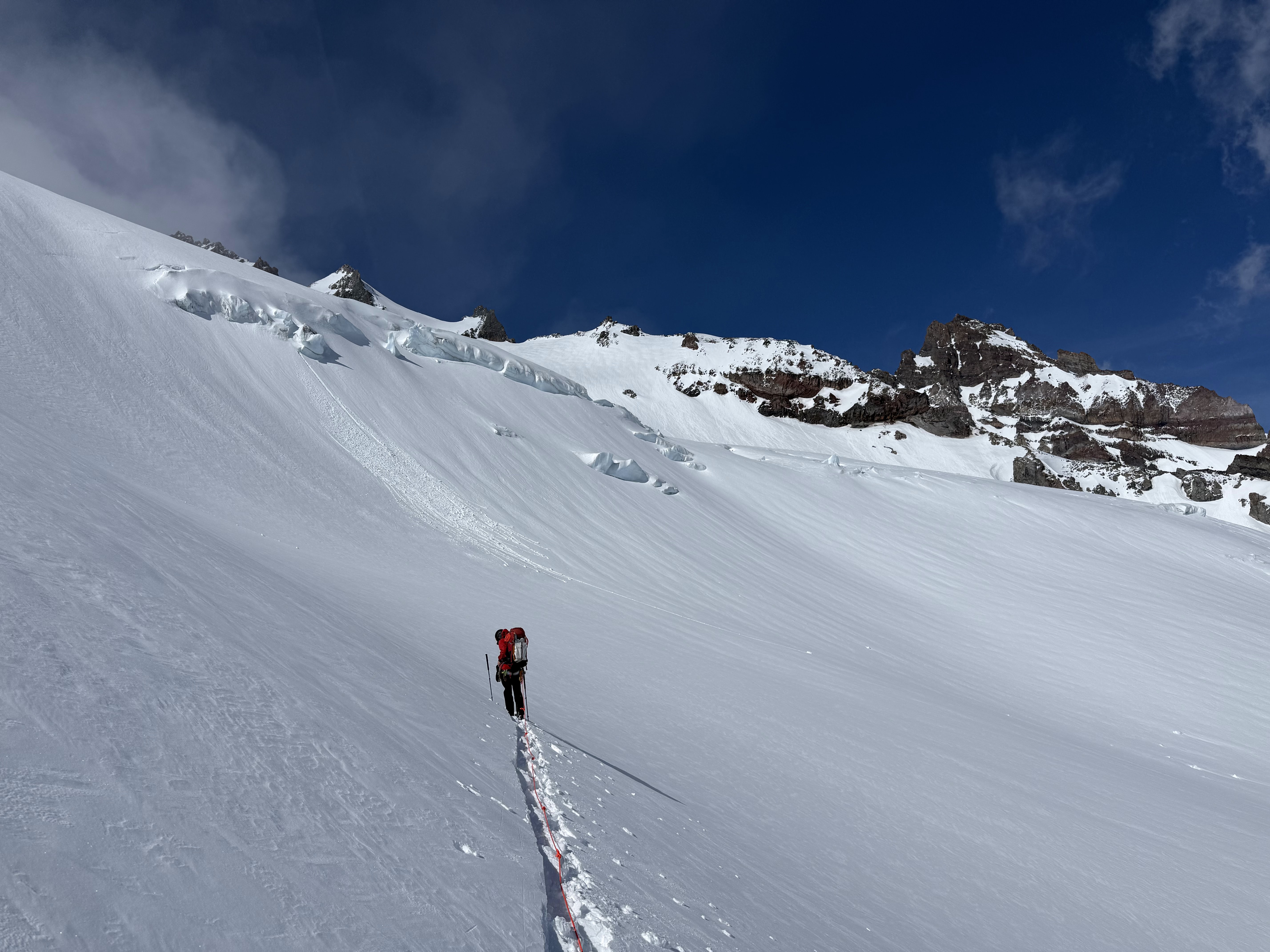
We gained just over 200' vert while traversing the Paradise Glacier. We eventually transitioned to the Cowlitz Glacier, where we started traversing completely flat around the 8700' line.
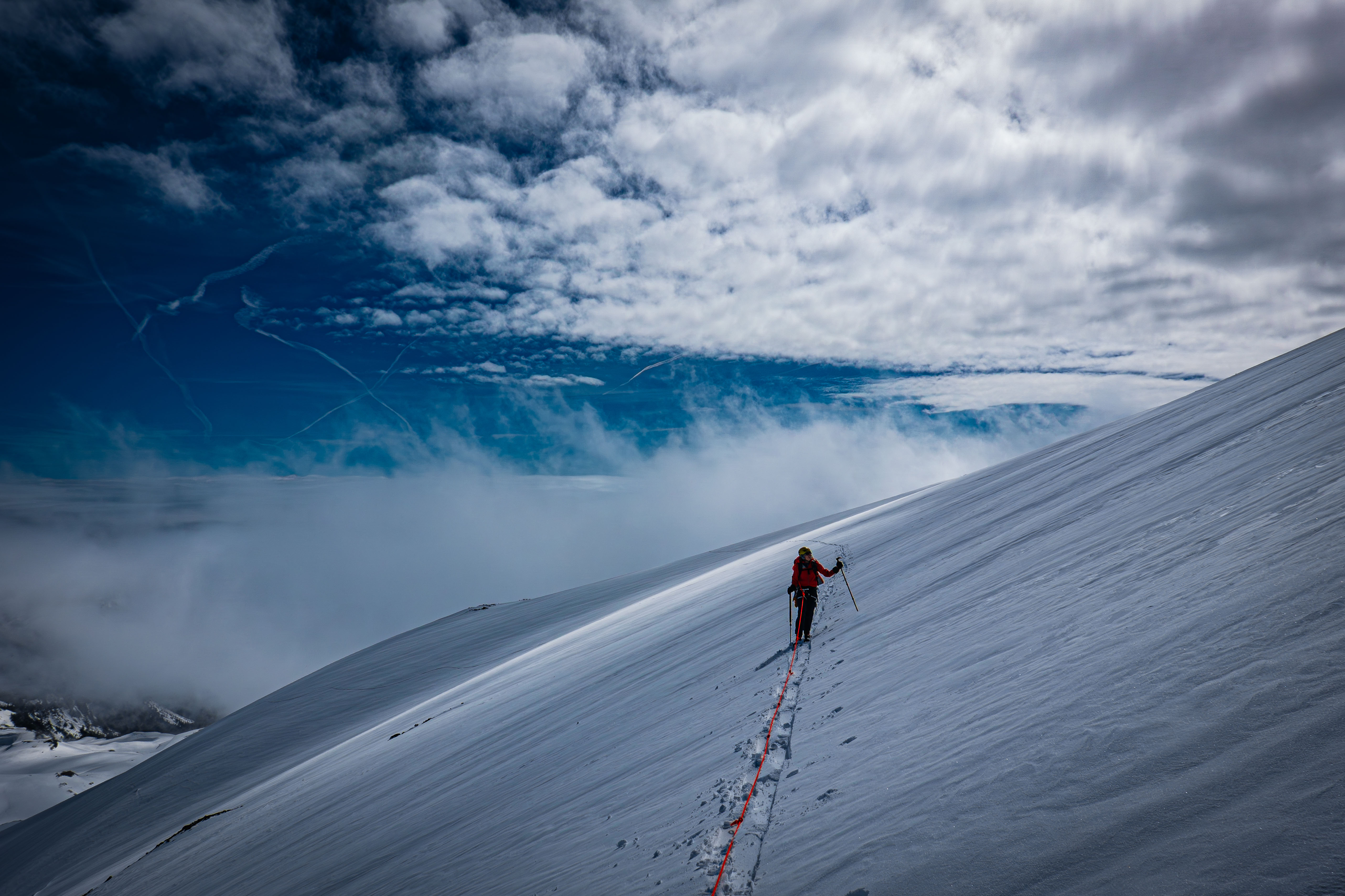
Around the transition from the Paradise to the Cowlitz
Traversing the Cowlitz
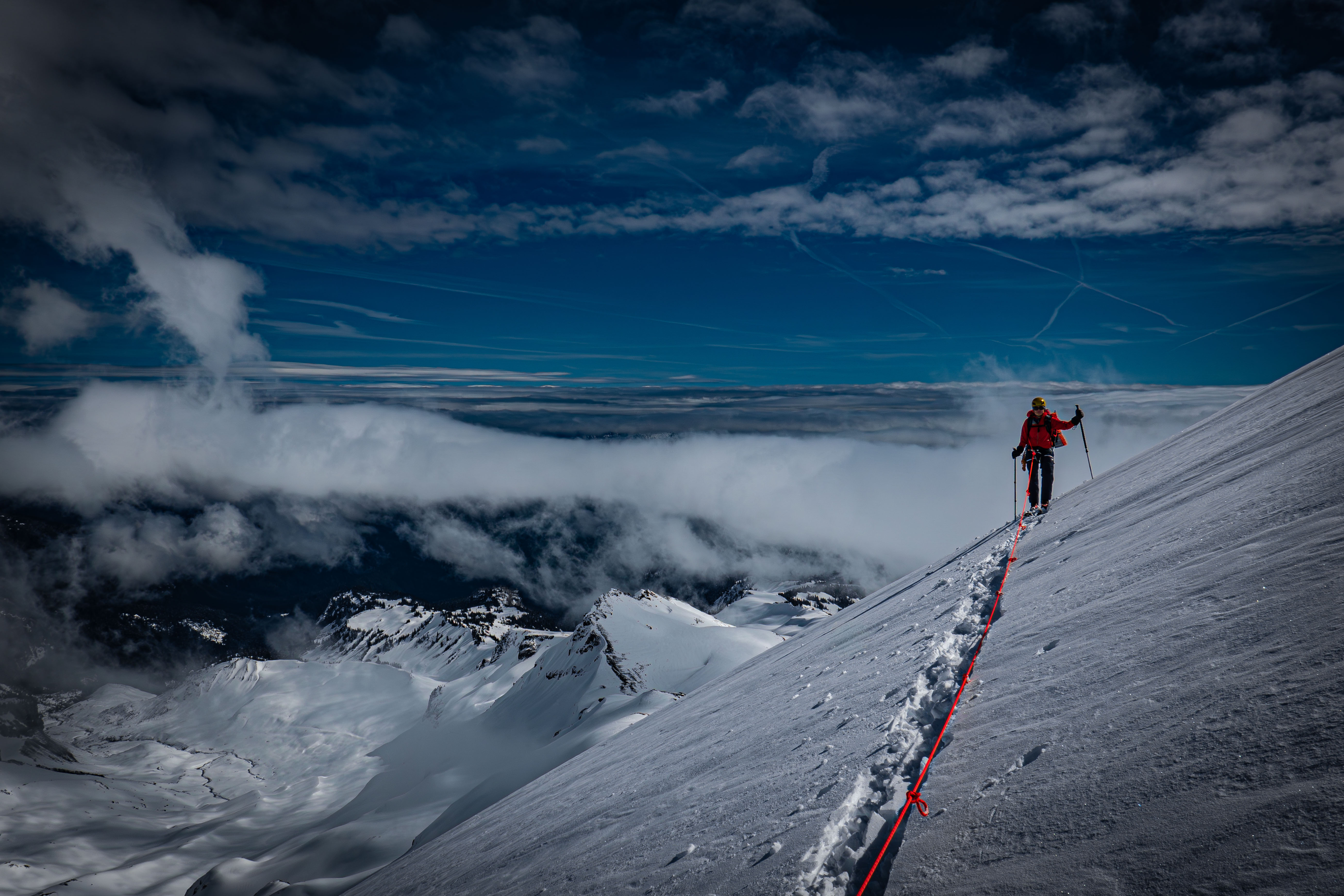
Looking back at the undercast
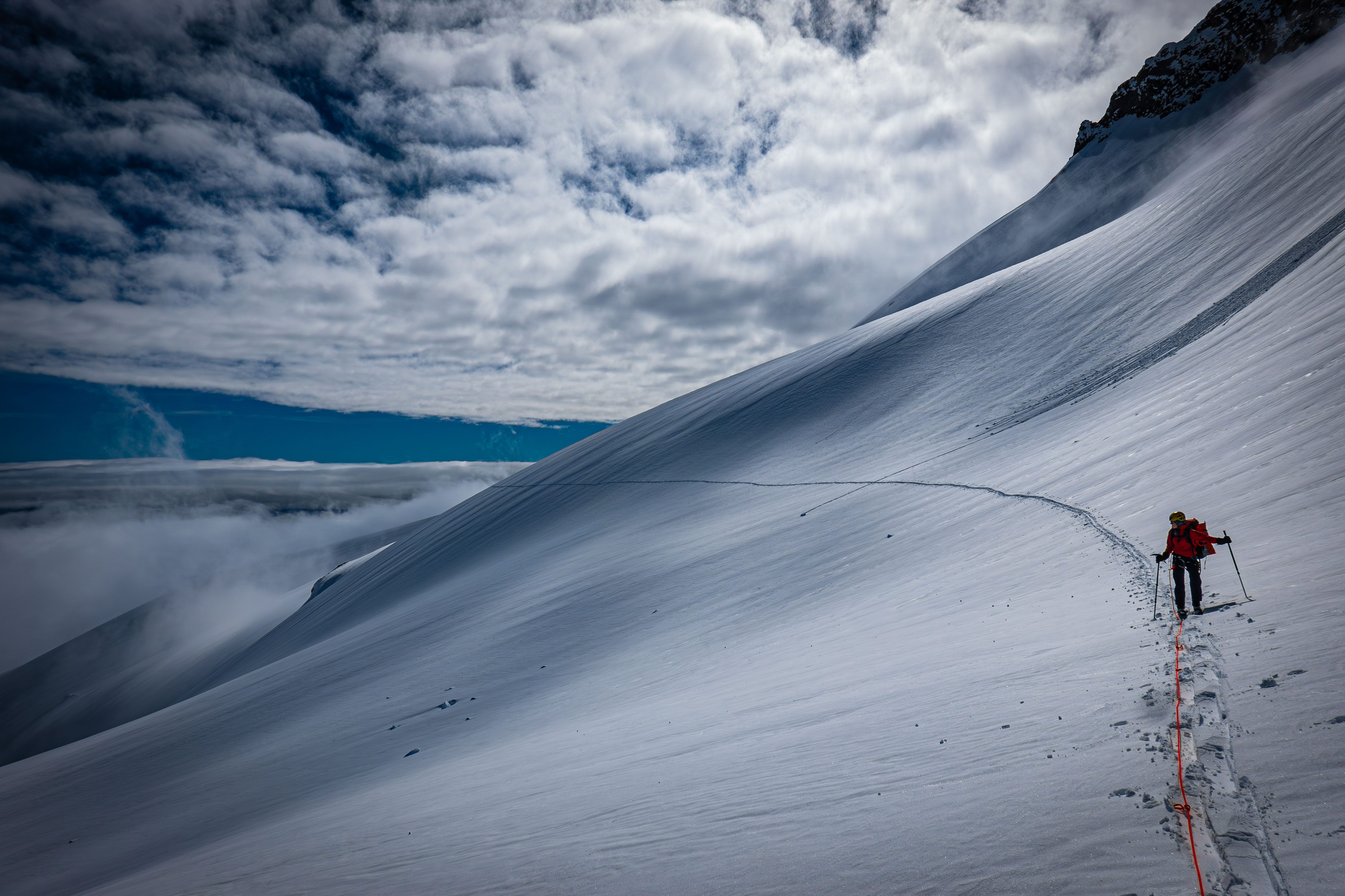
Crazy looking skin track
Eventually, we had to drop down about 200' vert to 8500' to get over the steep, rocky ridge separating the Cowlitz and Ingraham Glaciers.
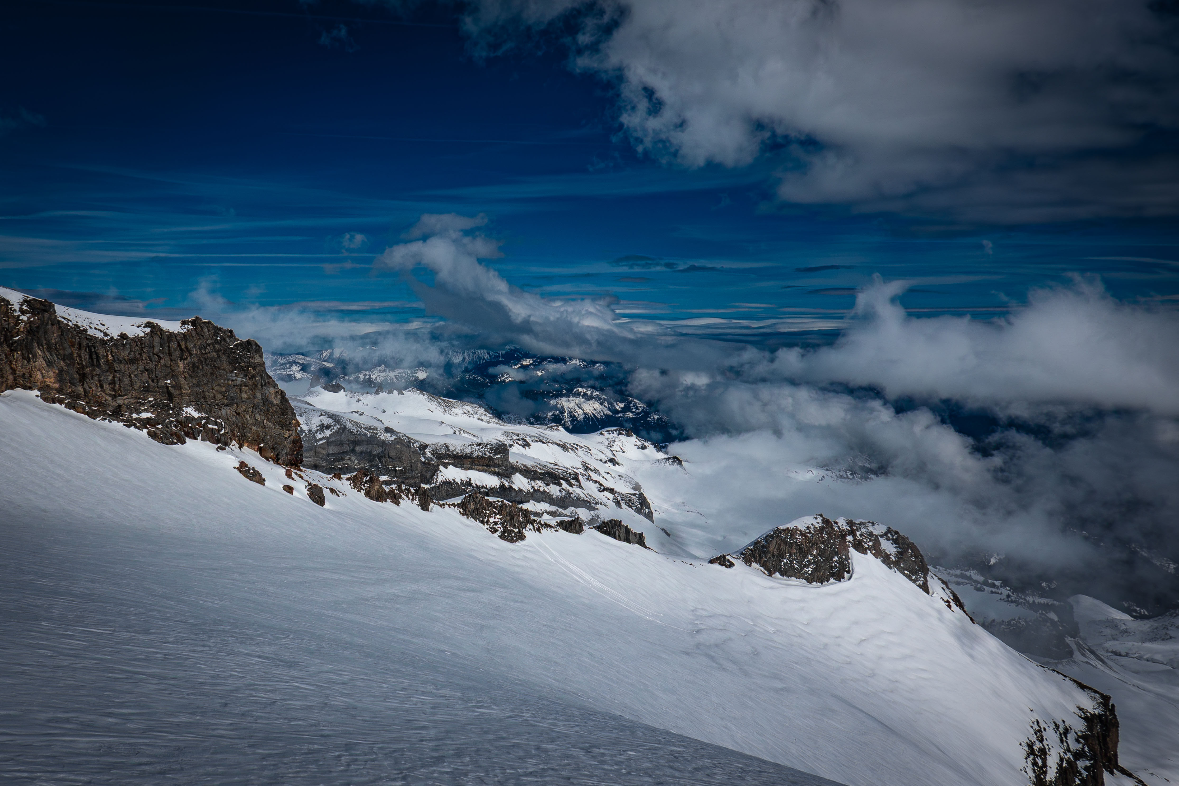
Looking down at the rocky ridge; we skinned down and crossed just below the cliff band on the left
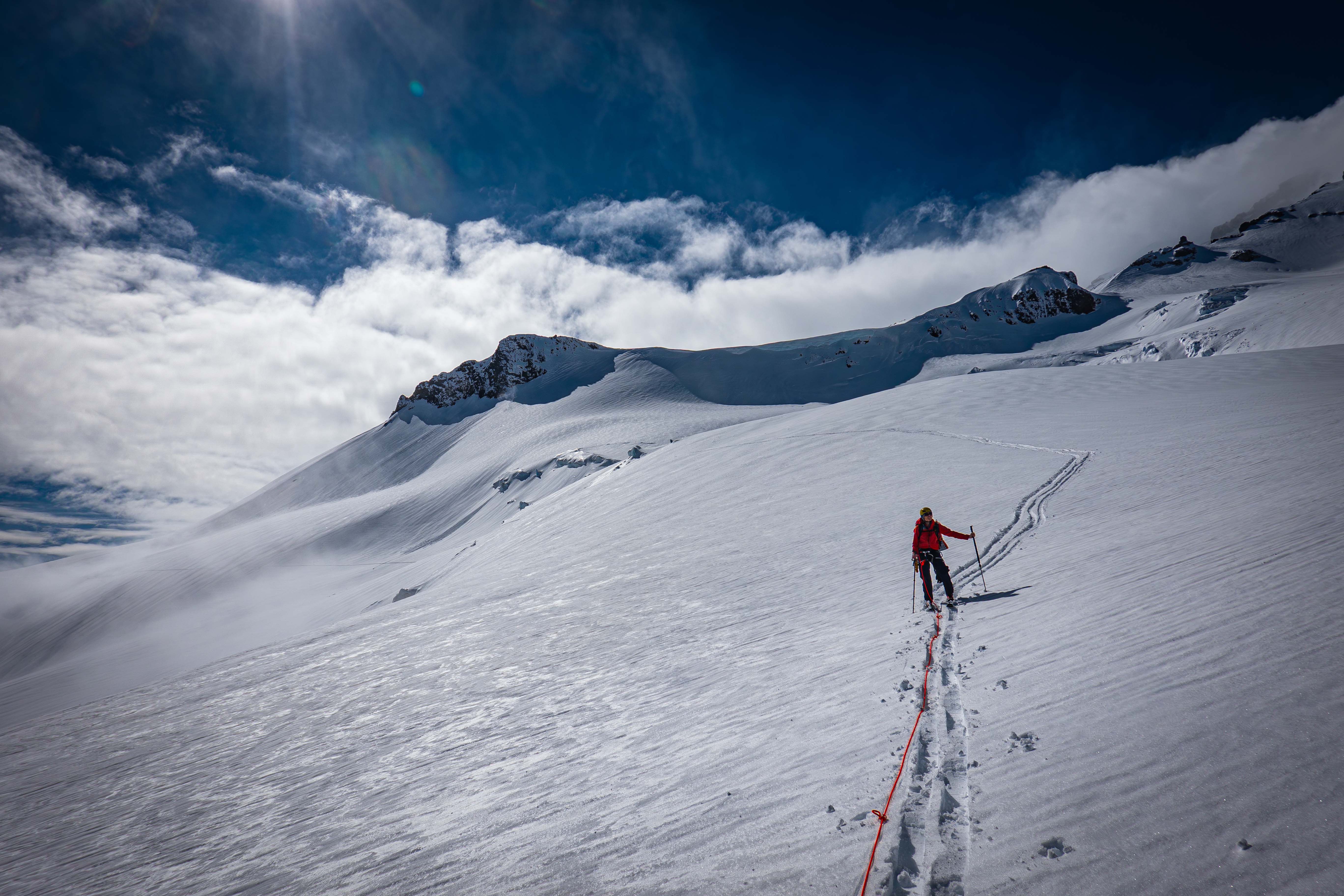
Skinning down to the ridge weak point
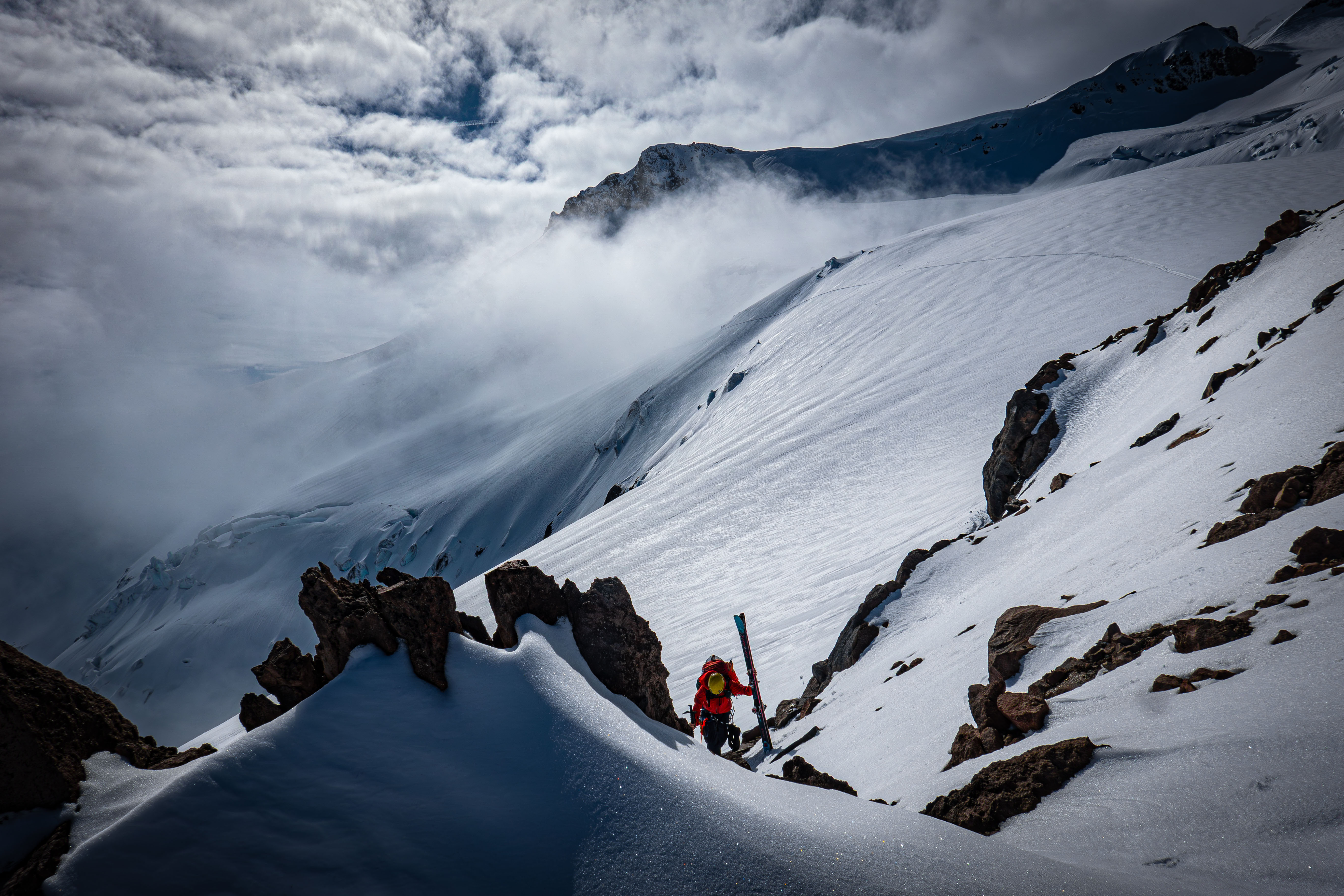
Climbing up the ridge — a short ski carry
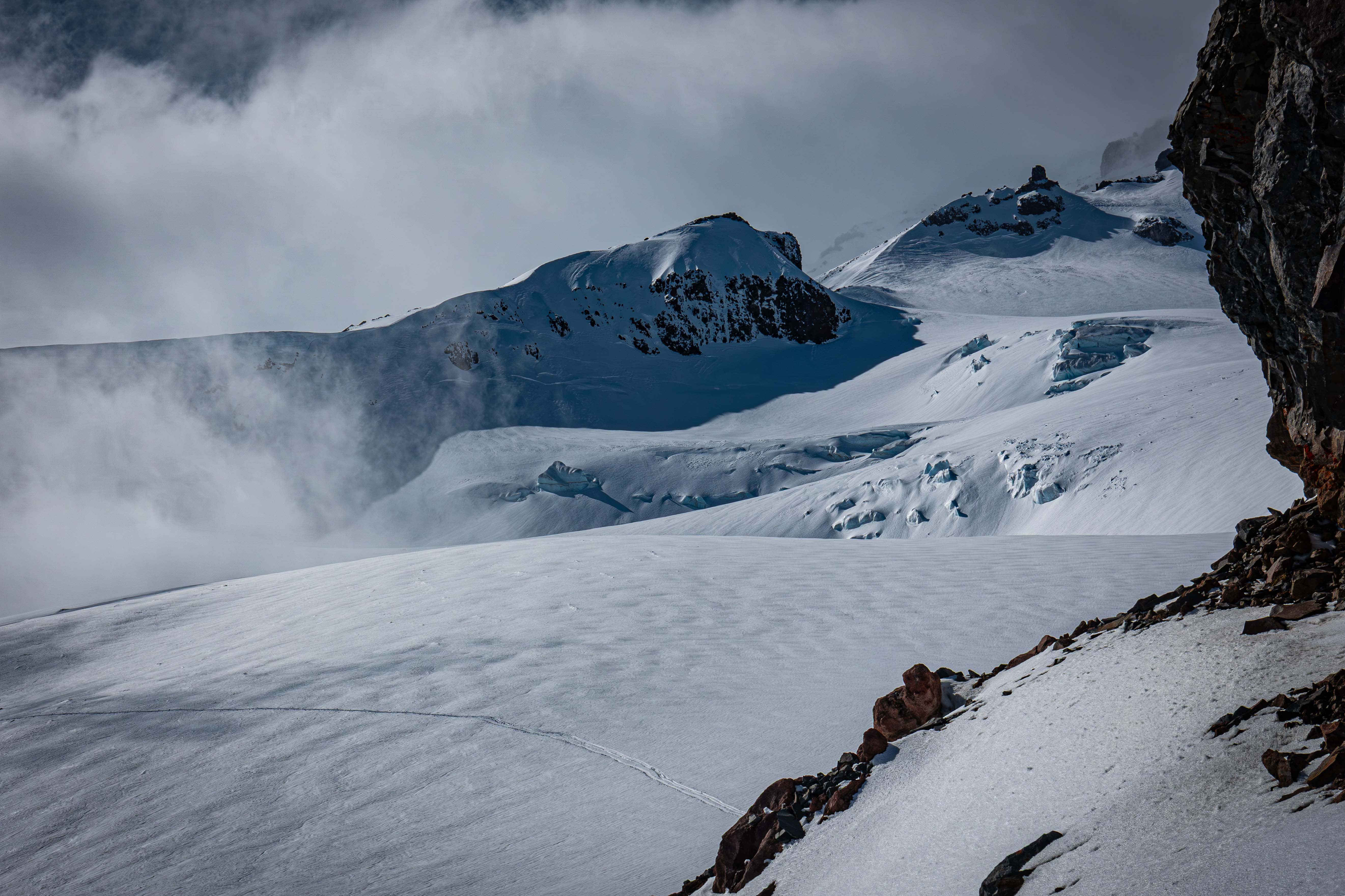
Looking back at the Cowlitz from the ridge. The peak in the centre is Muir Peak, hence Camp Muir is just below to the right
We started skinning from the ridge out across the Ingraham Glacier. We stayed high and traversed the 8600' line, only dropping or rising when necessary. The Ingraham was a lot more crevassey and broken up than the Cowlitz.
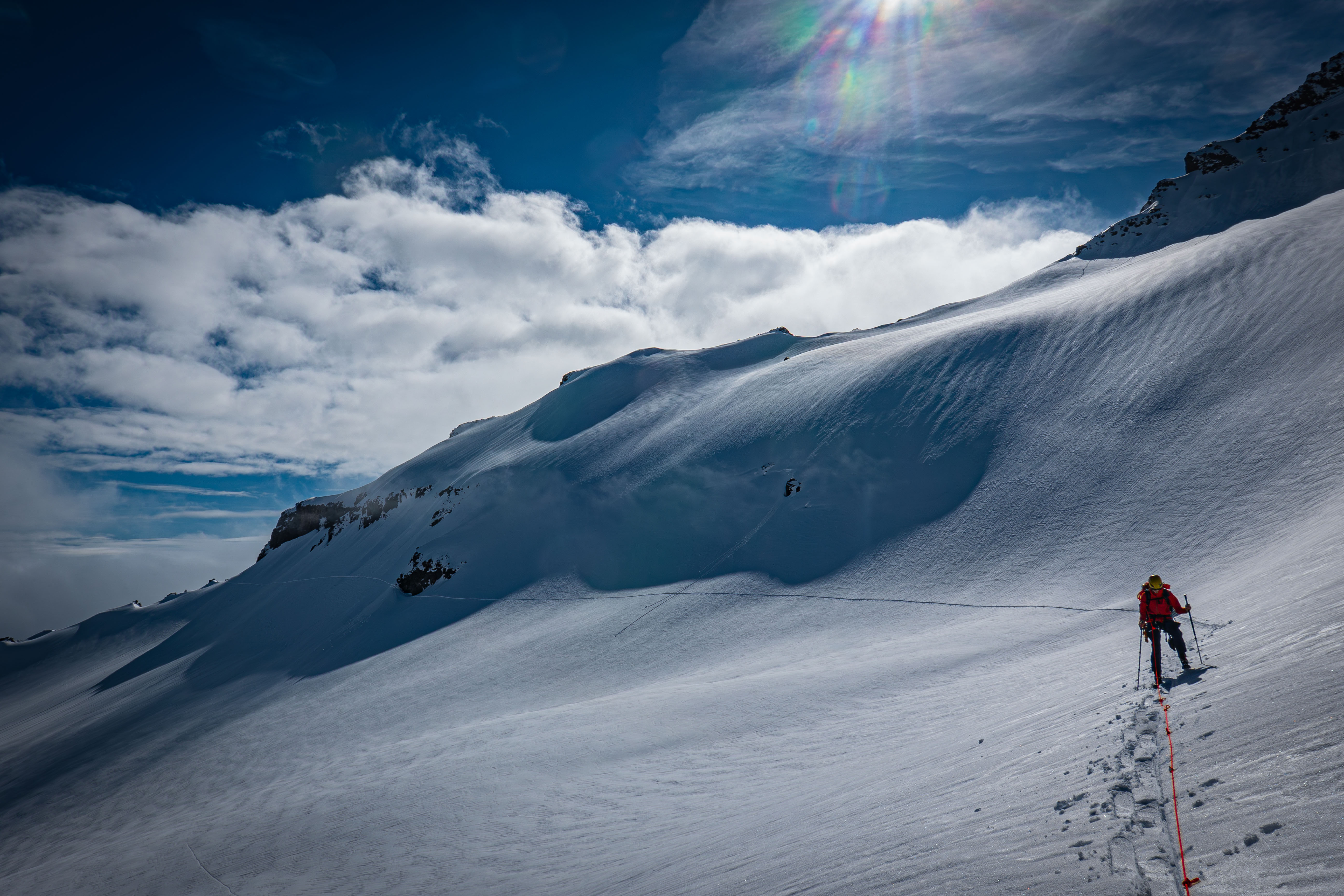
Traversing the Ingraham Glacier; our skin track is coming from the rocky ridge, even though it's not so rocky from this side
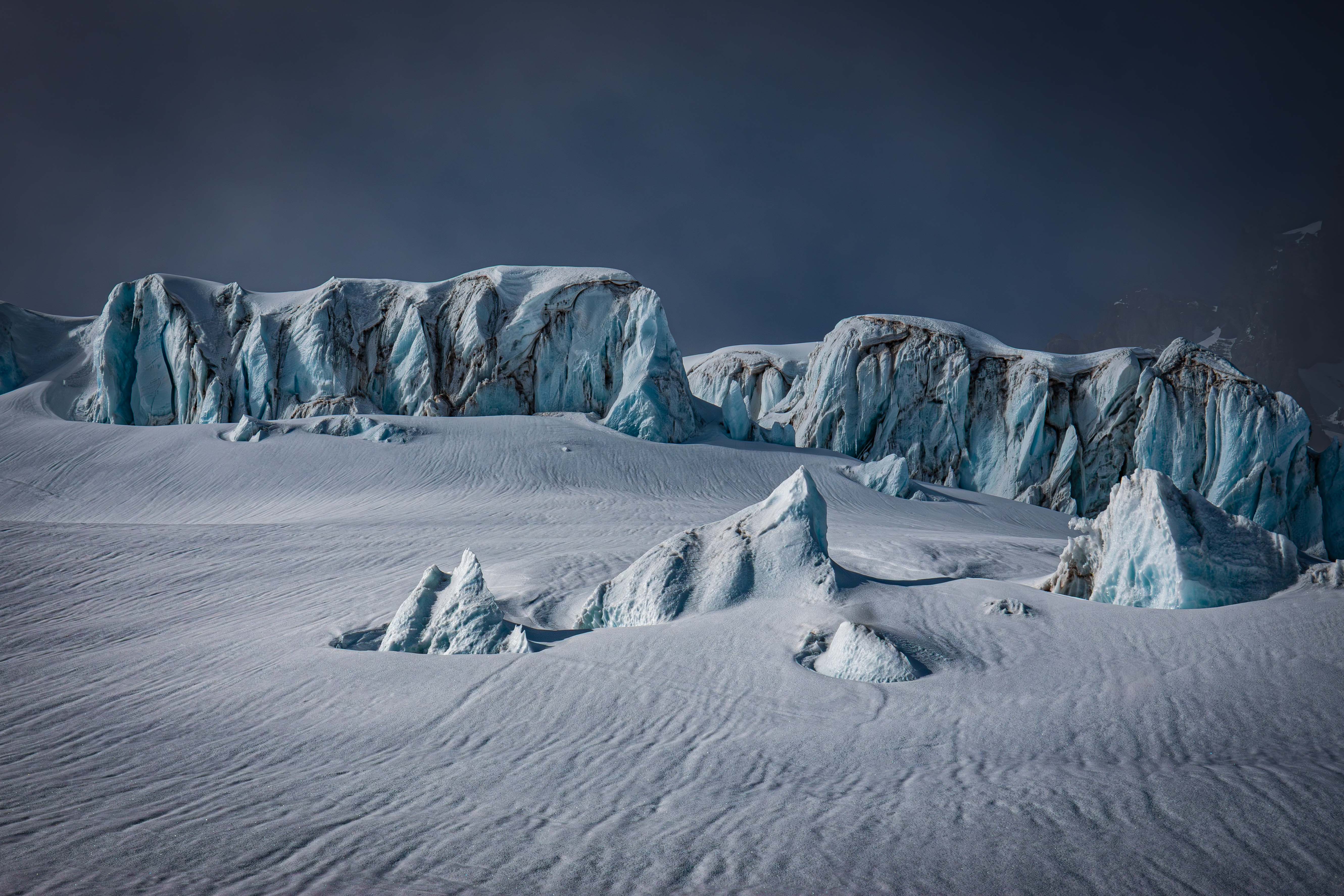
Some cool ice formations at the centre of the Ingraham
Right below the ice formations, we had to cross a small crevasse that was running mostly diagonal to the glacier flow. I went first, but right at the end, my right ski started sinking. The backside of my right ski plunged over a foot down as I quickly lost balance. I quickly threw my left ski forward just off the crevasse and shifted all my weight onto it. This stopped my right ski's descent, and allowed me to pull it out. My partner took a higher route after watching me plunge, and they were just fine. This is the closest I've ever been to falling in a crevasse, and if I were not on skis, I almost certainly would've fallen in.
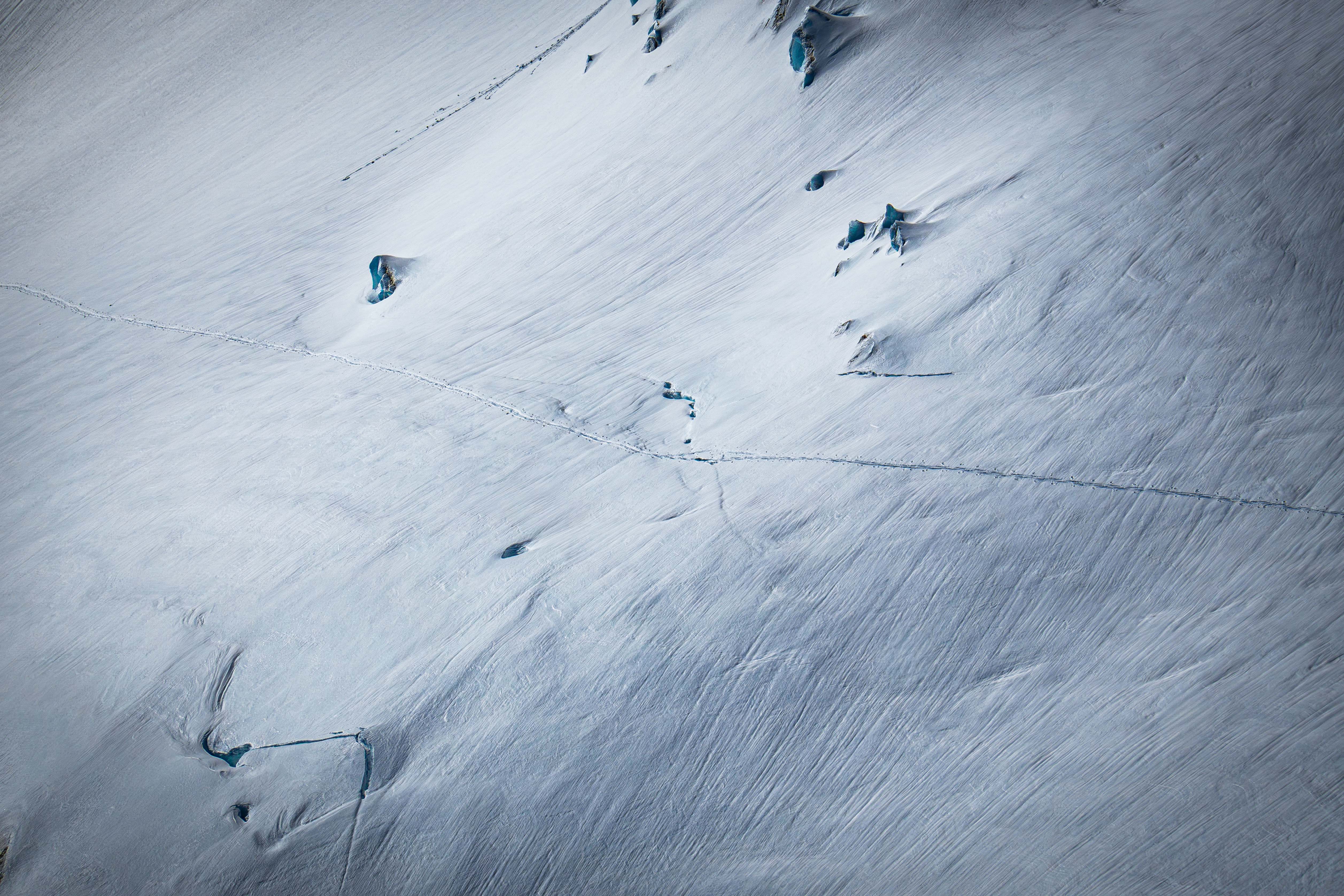
Zoom shot of the crevasse I almost fell in from the following day. You can see where I started sinking — my partner went just above. We probably should've went lower, but we didn't think much of it at the time
We continued skinning towards the edge of the Ingraham after that close call. There was a specific saddle that we were aiming for to avoid the steep rock.
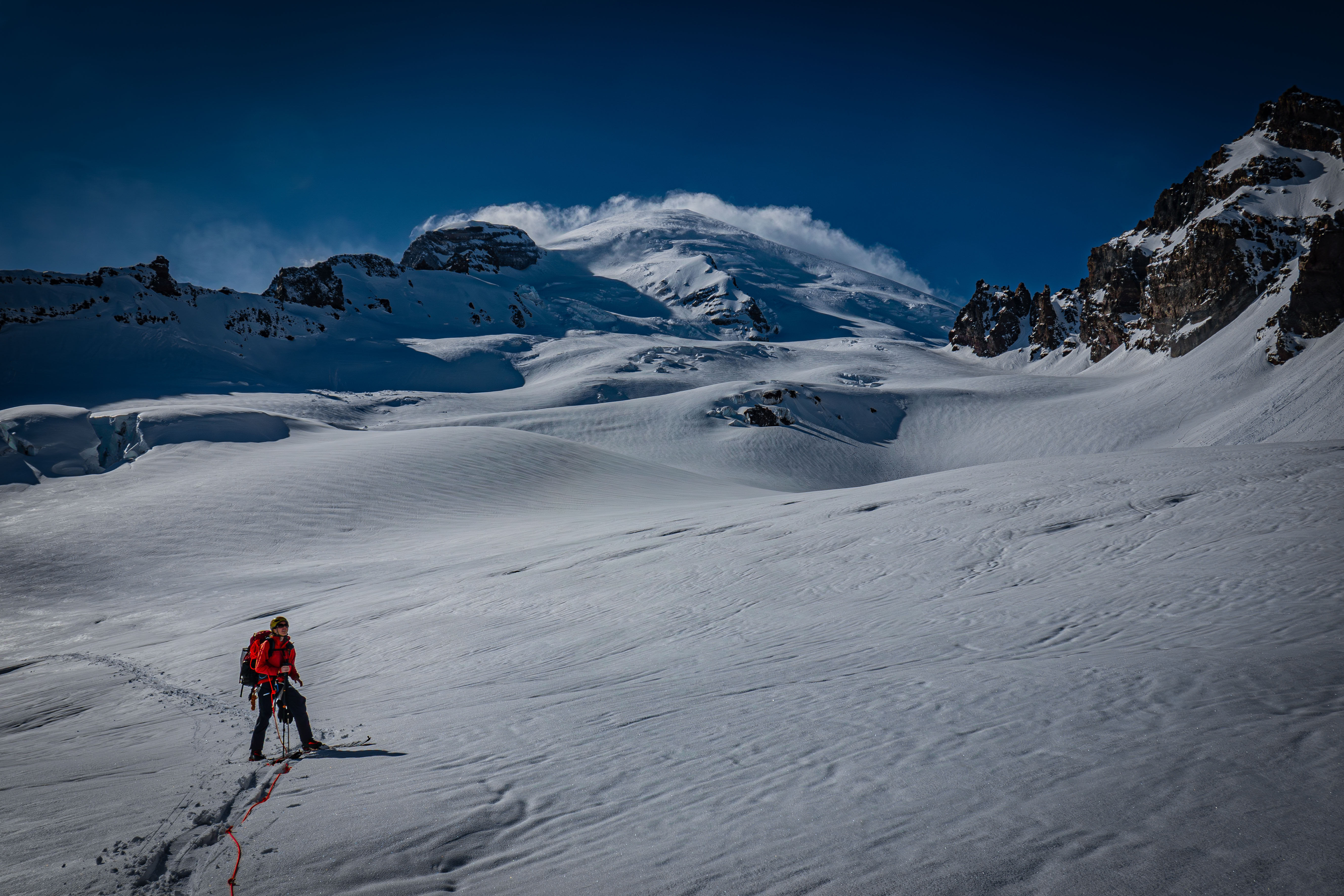
On the edge of the Ingraham looking up at Tahoma
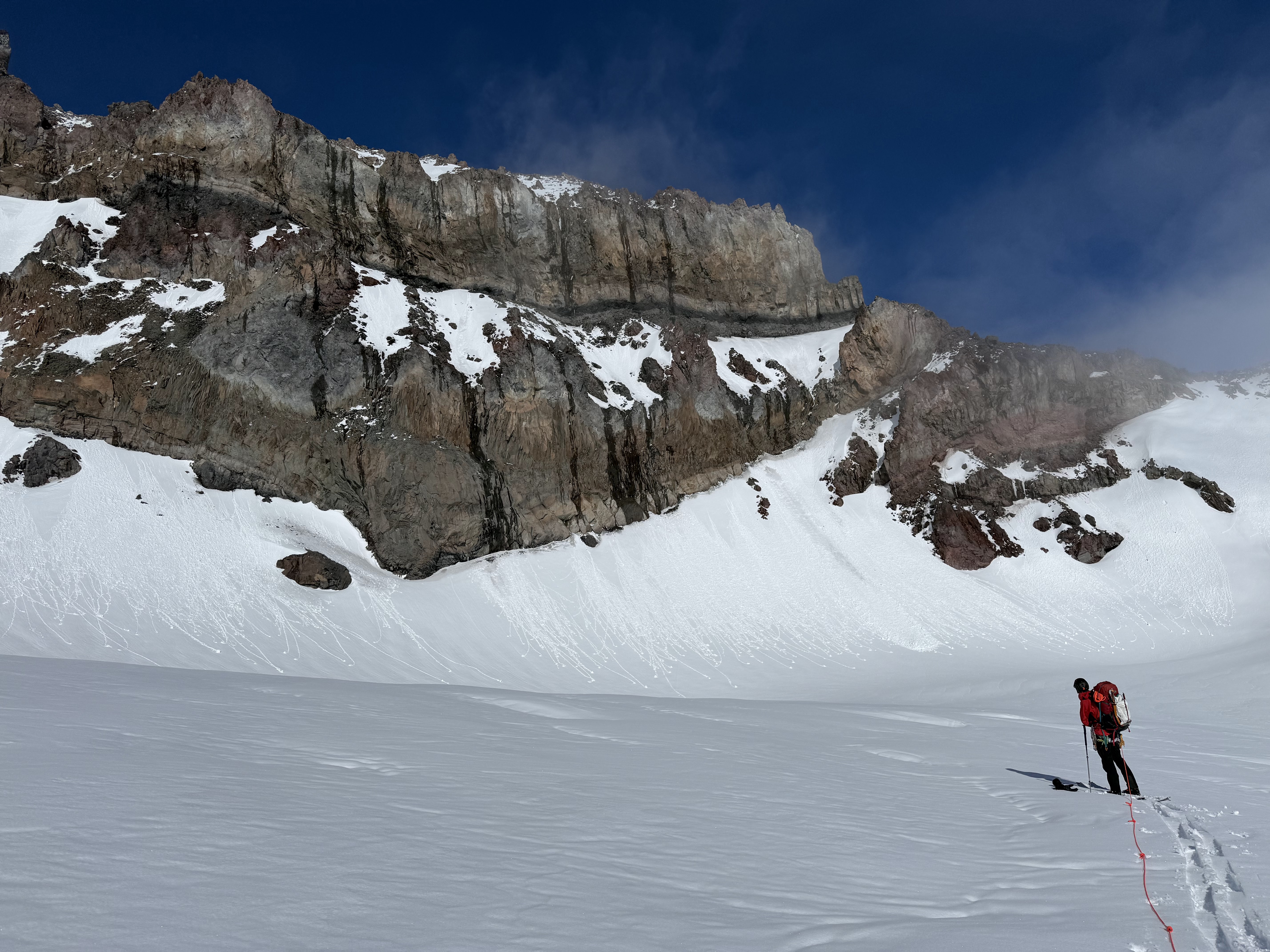
The rock walls of Little Tahoma tower over us
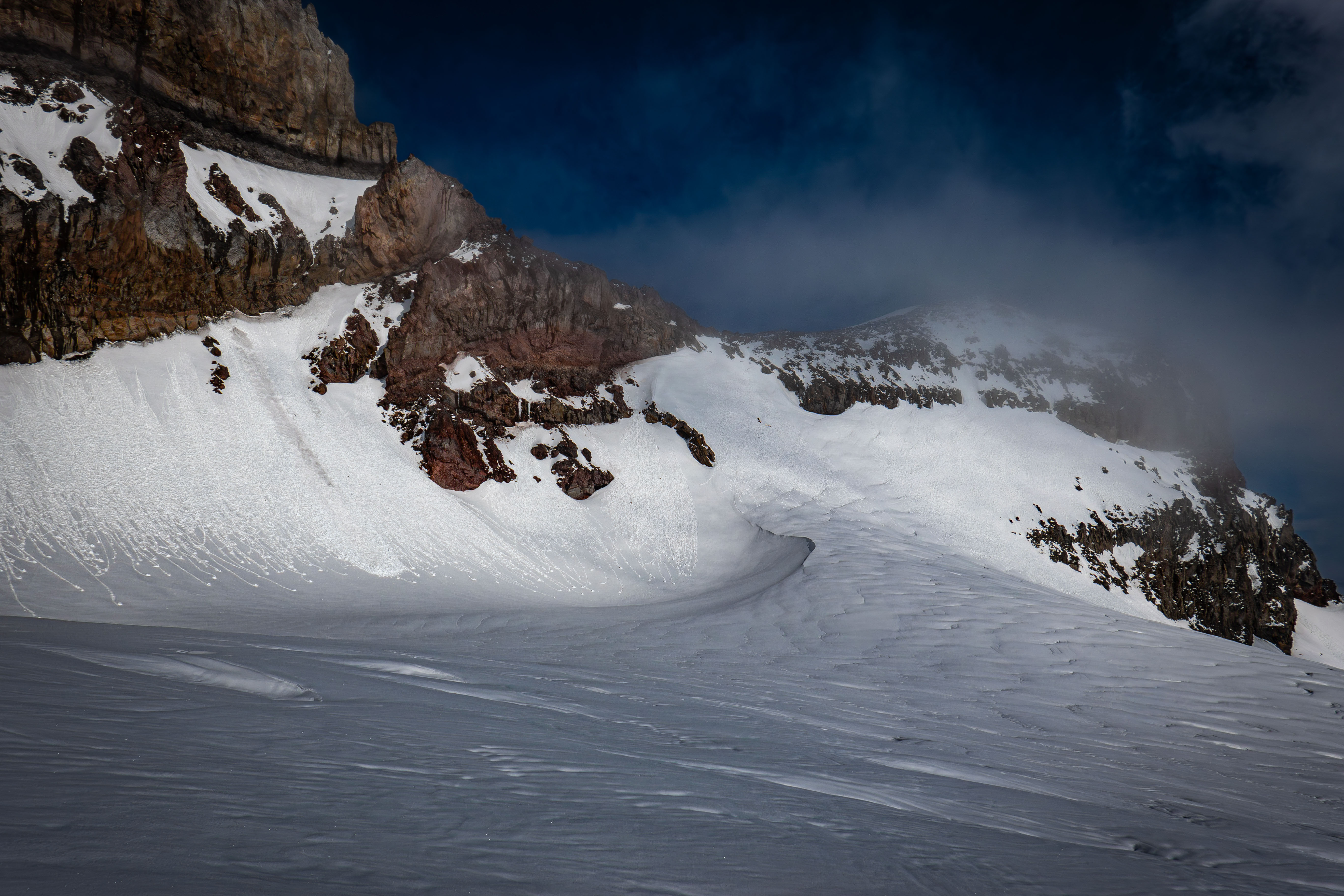
Looking up at the saddle we were headed to
We skinned about halfway up the snow wall towards the saddle before deciding to a-frame. The last 30-40 vert was on steep, chossy rock. We knew we were in the sketchier terrain when we saw an old anchor around a rock horn. However, the scrambling was quite easy, just very dirty.
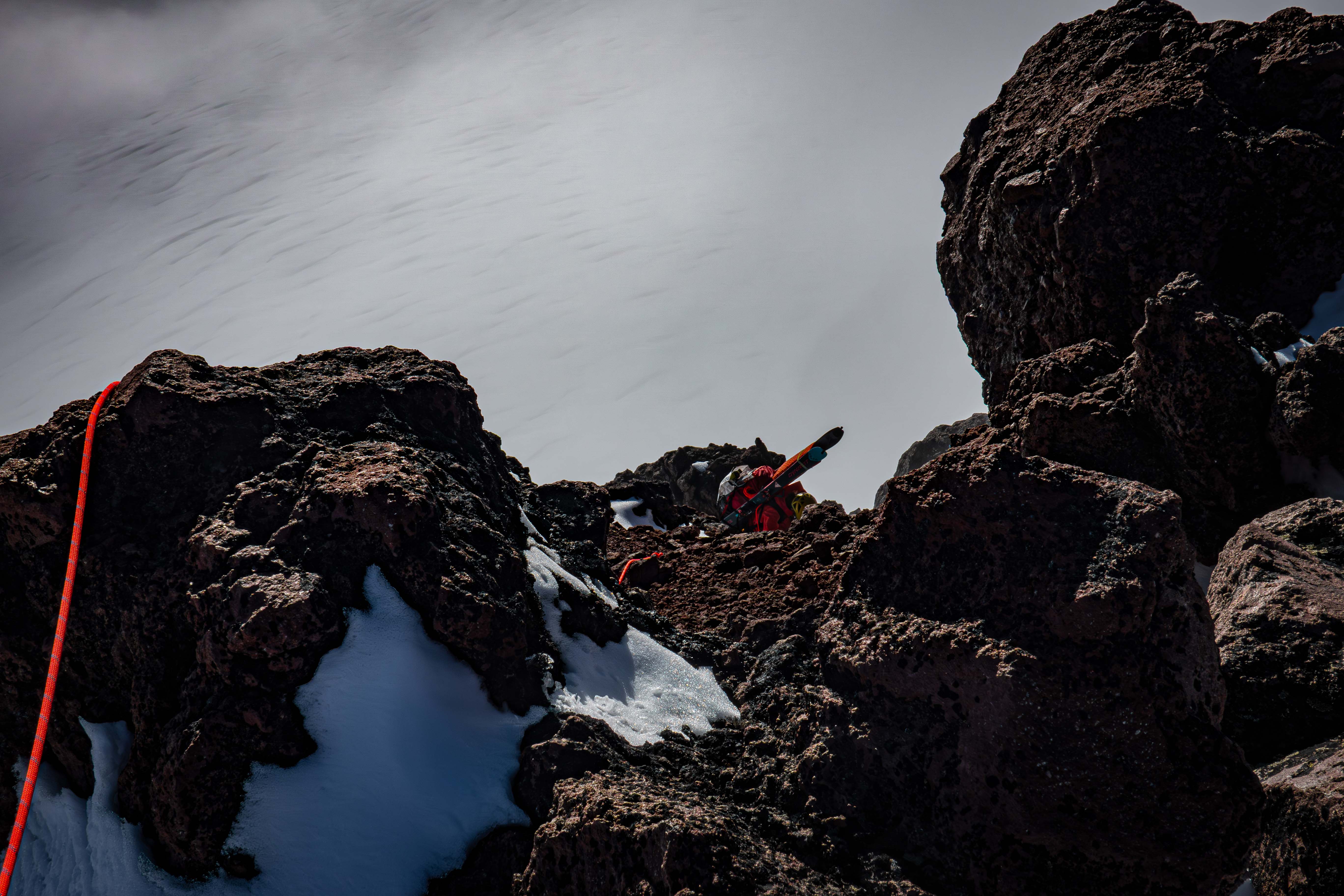
My partner on the last bit of the scramble
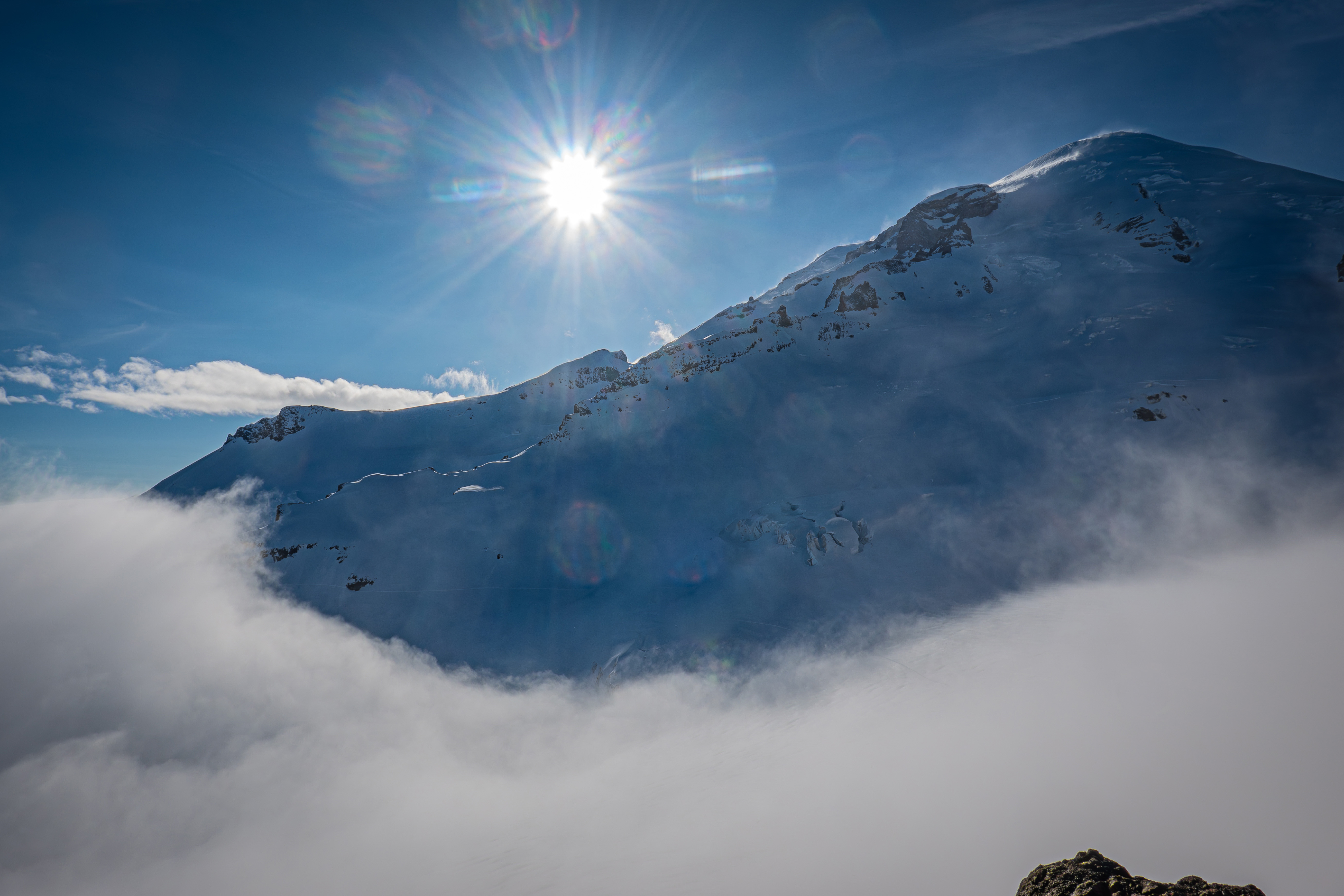
On the saddle looking at Tahoma
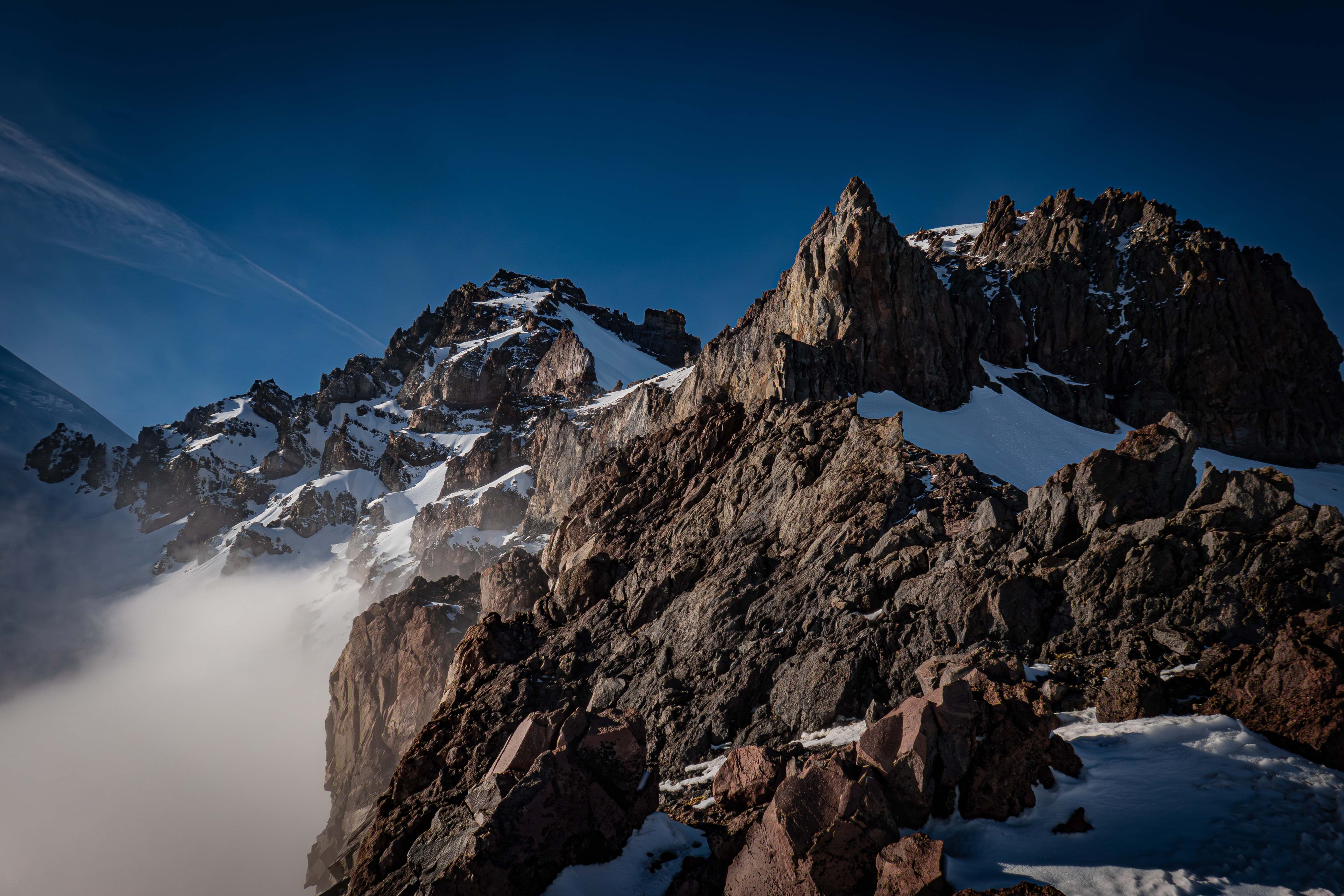
Little Tahoma from the saddle
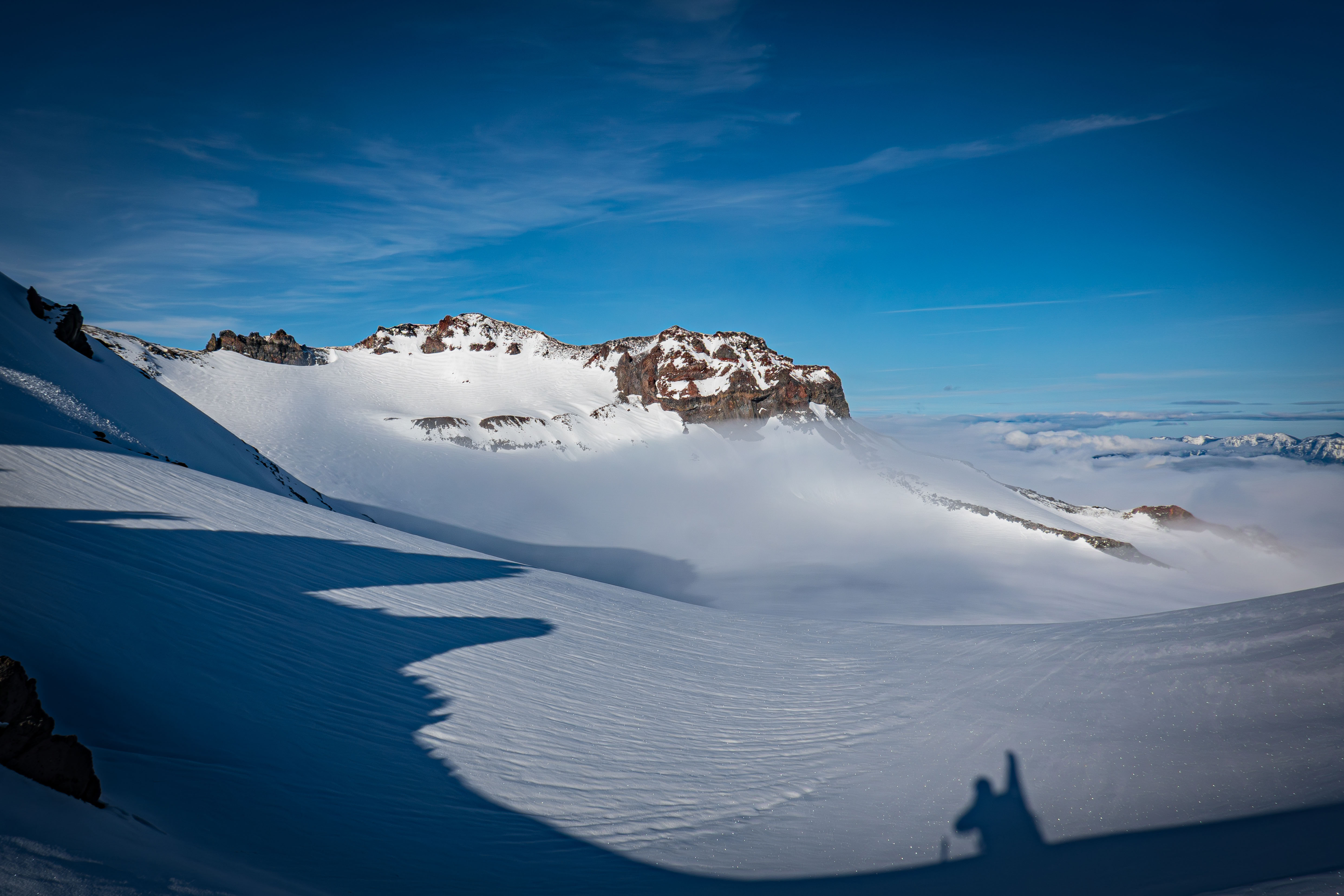
The other side of the saddle
We decided to not go any higher since it was already almost 18, so we set up camp right on the saddle.
We started the next day just before sunrise at 6:20 with our skis on our packs. The most efficient route to connect to the normal Whitman Glacier route was to do a rising traverse across the steep slope above our camp. We looped around onto the east side and eventually saw a steep snow patch that looked like it went over the cliff band. We decided to not risk it and continue traversing fully around the cliff band, which required a bit of downhill. We did however take note of the more direct snow slope for the ski down.
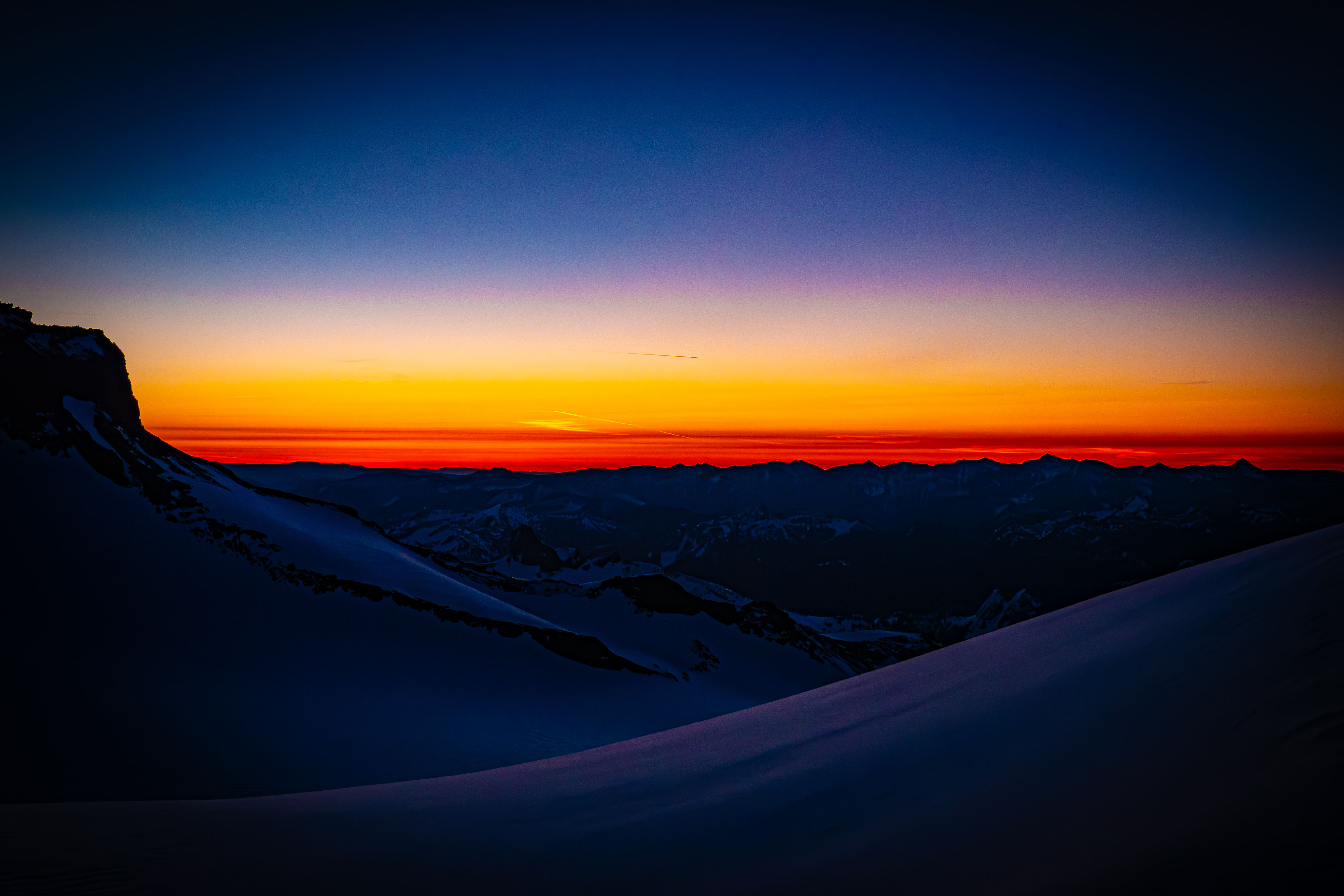
Sunrise from our camp
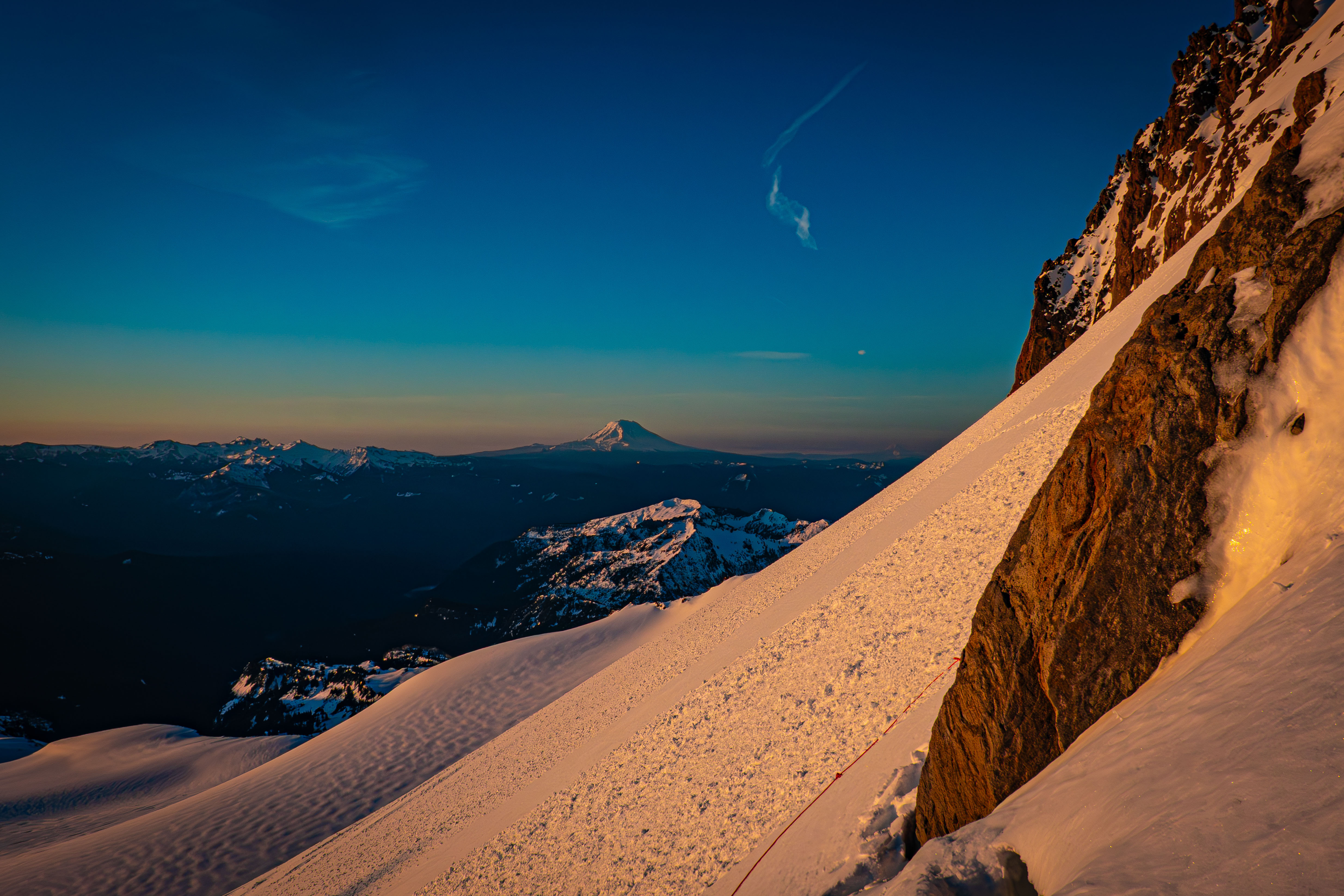
Getting down around a rock on the cliff band after opting to not climb the snow slope before it
After navigating around the cliff band, we started heading up to the flat section at 9200'. We switched to skinning at 9200' and headed towards the steep summit.
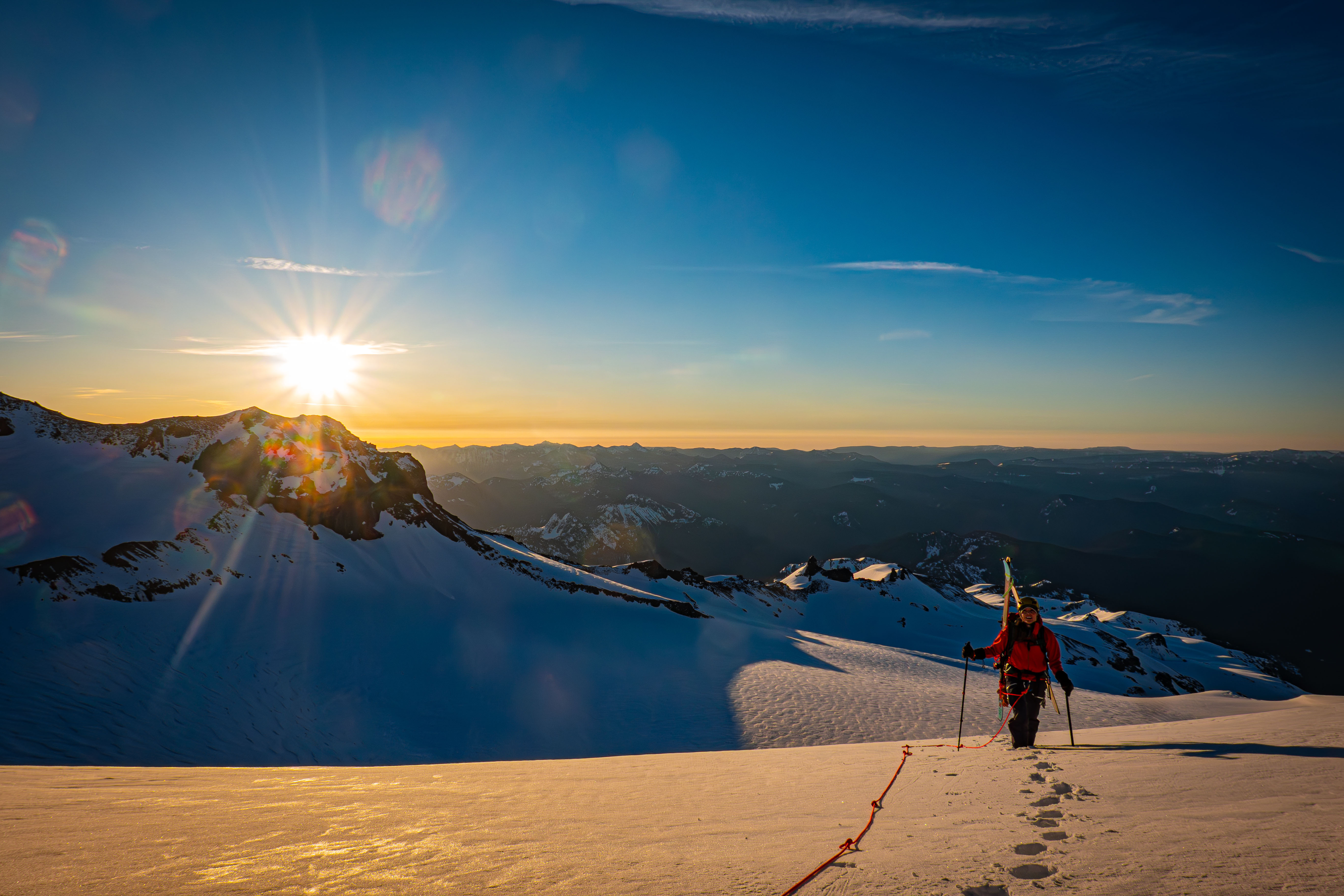
The terrain now flat
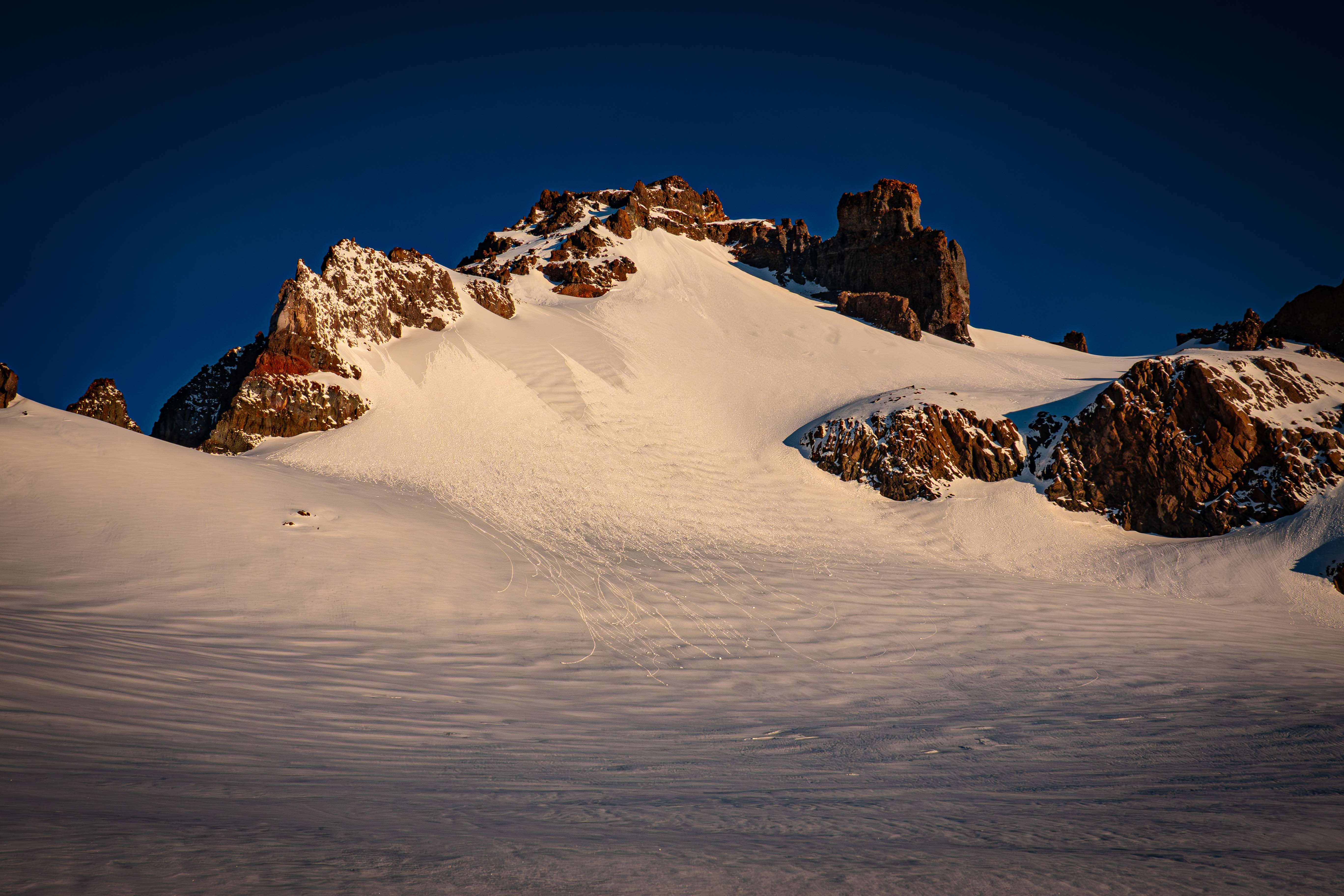
Little T
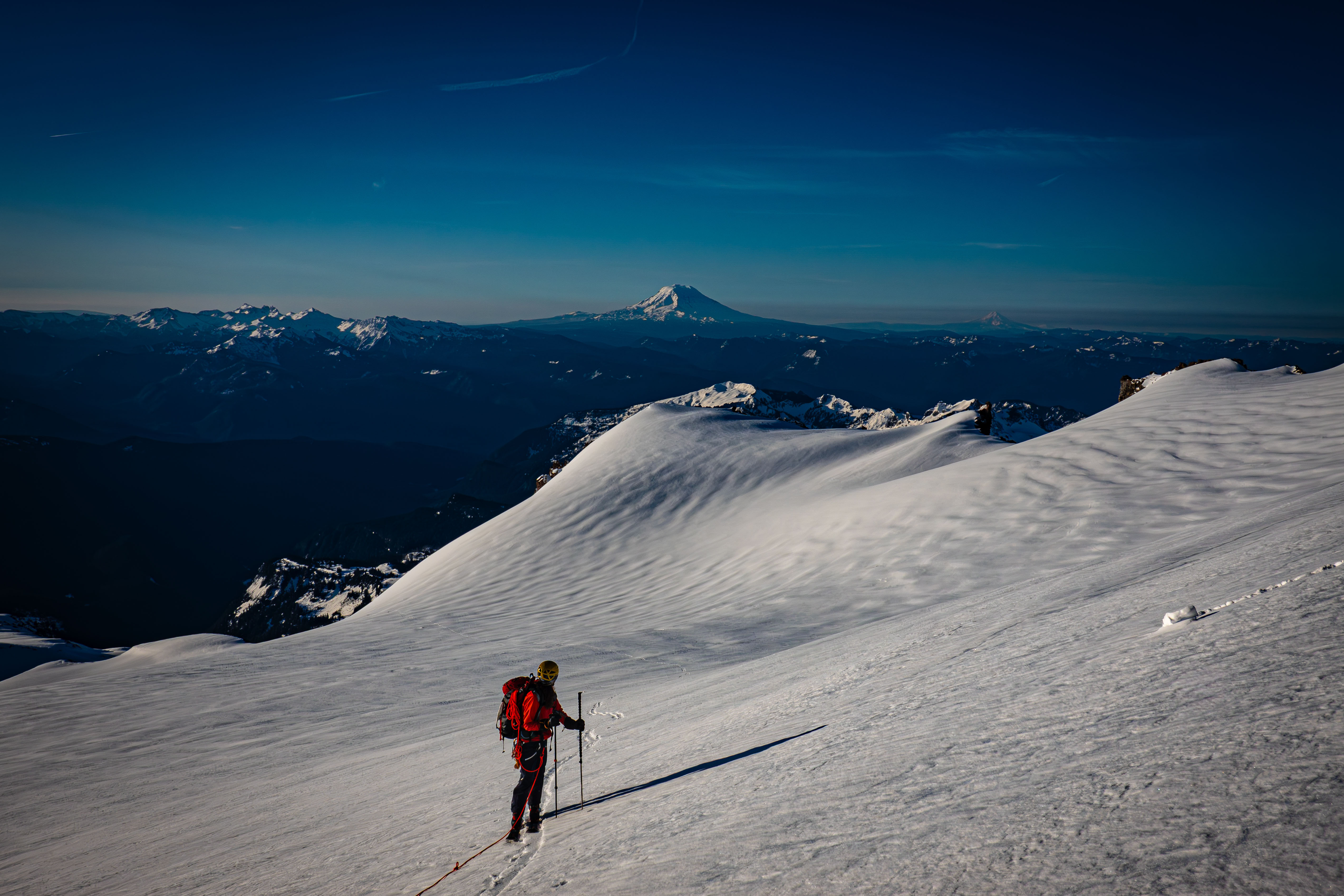
Skinning up towards the top of the Whitman Glacier
We skinned up to 10,300' with only one small a-frame in the middle. We set our skis down in the moat between the rock and snow and unroped since we were above the Whiteman Glacier. We put on pons and pulled out both our axes, then started bootpacking up the upper snow slope. At this point, we were only 800' vert from the 11,100' summit.
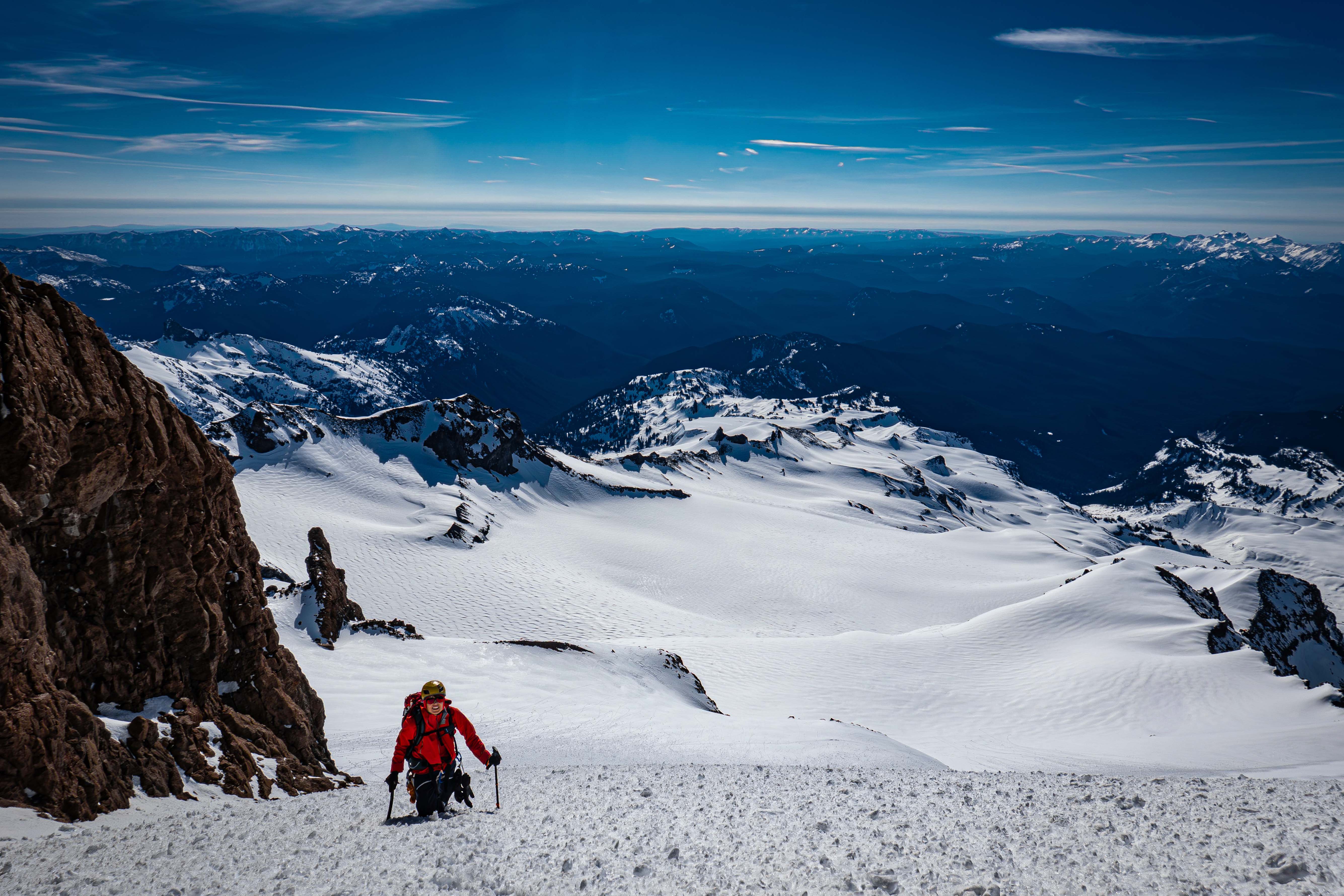
Bootpacking up the steep upper snowfield
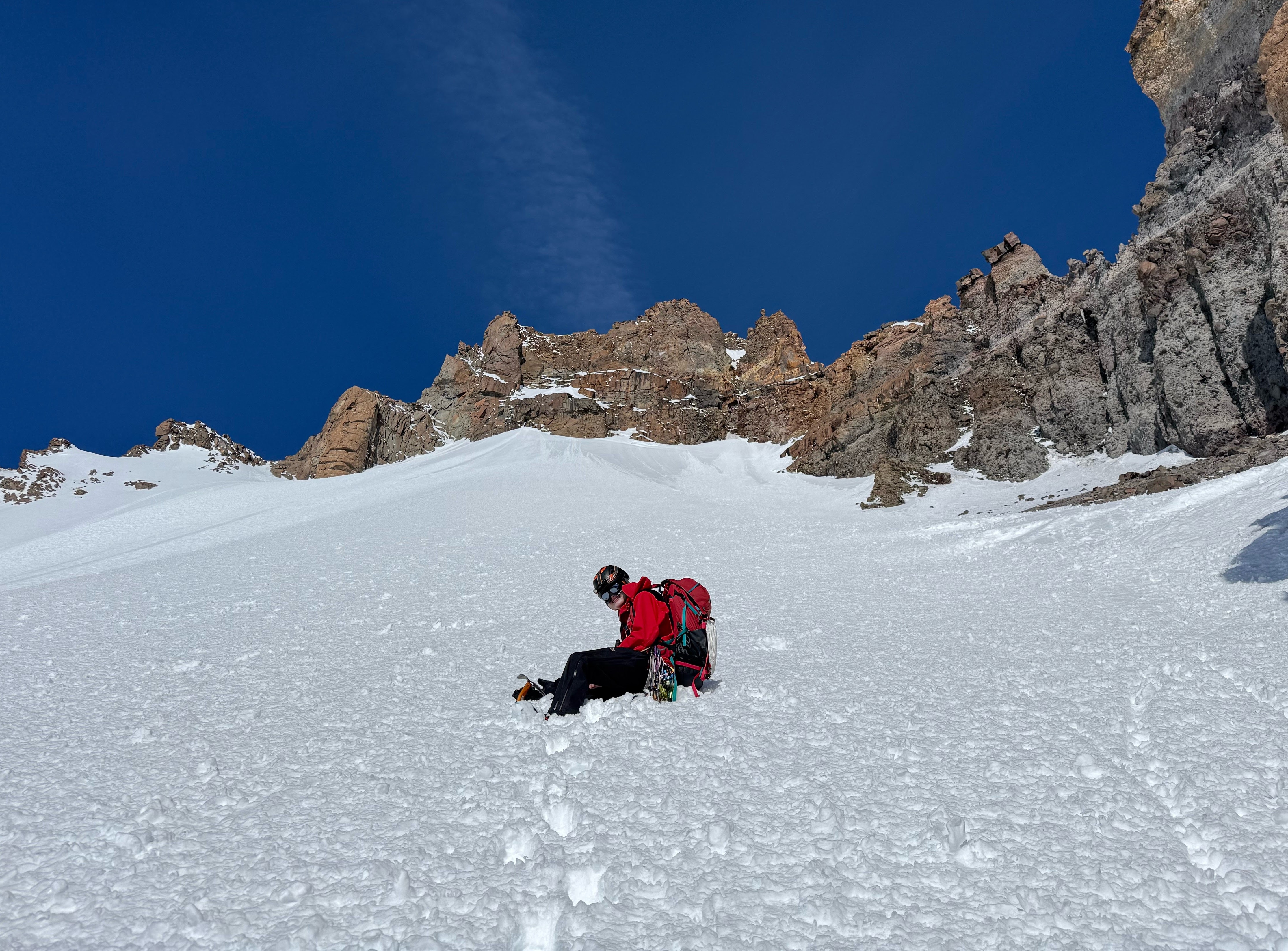
The real reason for an adze: making seats
We made it to the wall, where we had to go up a specific notch to get on the south face of the peak. The snow leading up to the notch was quite steep and icy, combined with a short rock wall in the way. The flatter way was covered in the same icy snow, so the rock wall looked like the best play. Getting up the wall required quite a few precise pon and axe placements; it was probably low class 5. After the wall, we made it to the top of the notch at 10,800'.
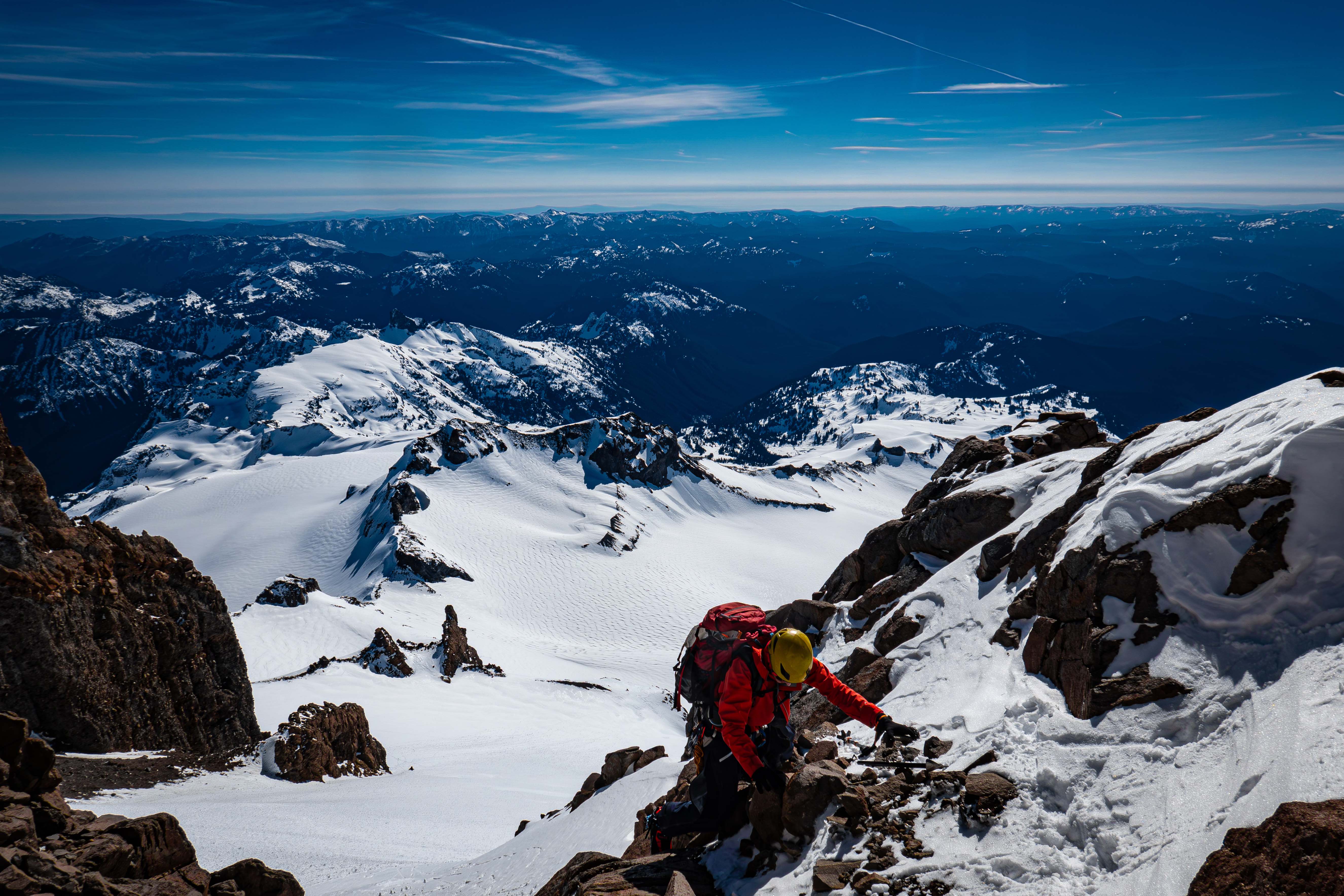
My partner just getting over the short rock wall and onto the notch
We then headed up the south face, which was just steep snow until 11,000', where we hit a rock wall.
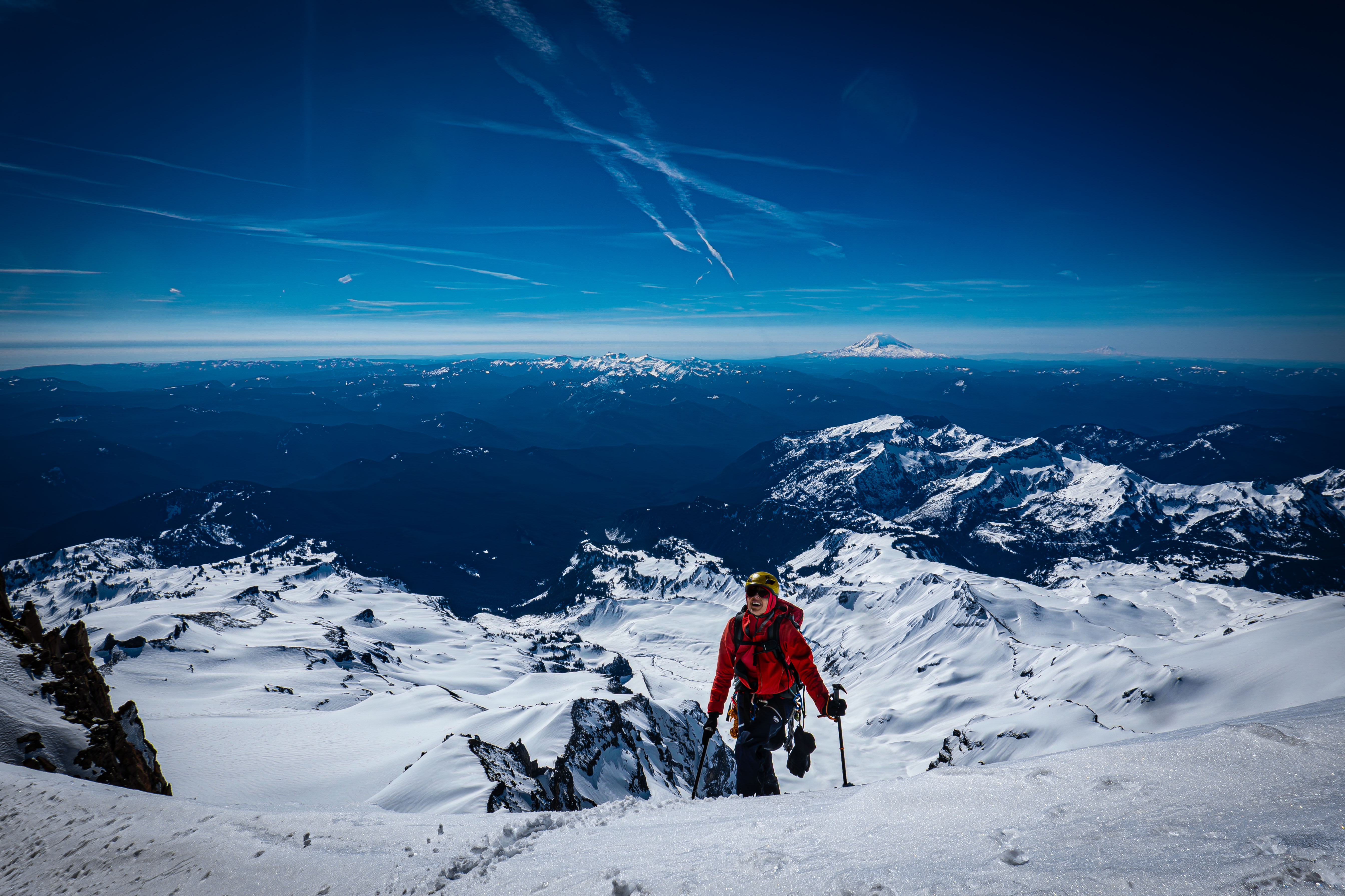
At 11,000' just before the rock wall
It looked like we could climb straight up the rock wall, but the track I had traversed below the wall, so we opted for that. There was a steep snow section just above with a cornice hanging in the way of the less steep route. I climbed up first and cut out the cornice to make the climbing easier.
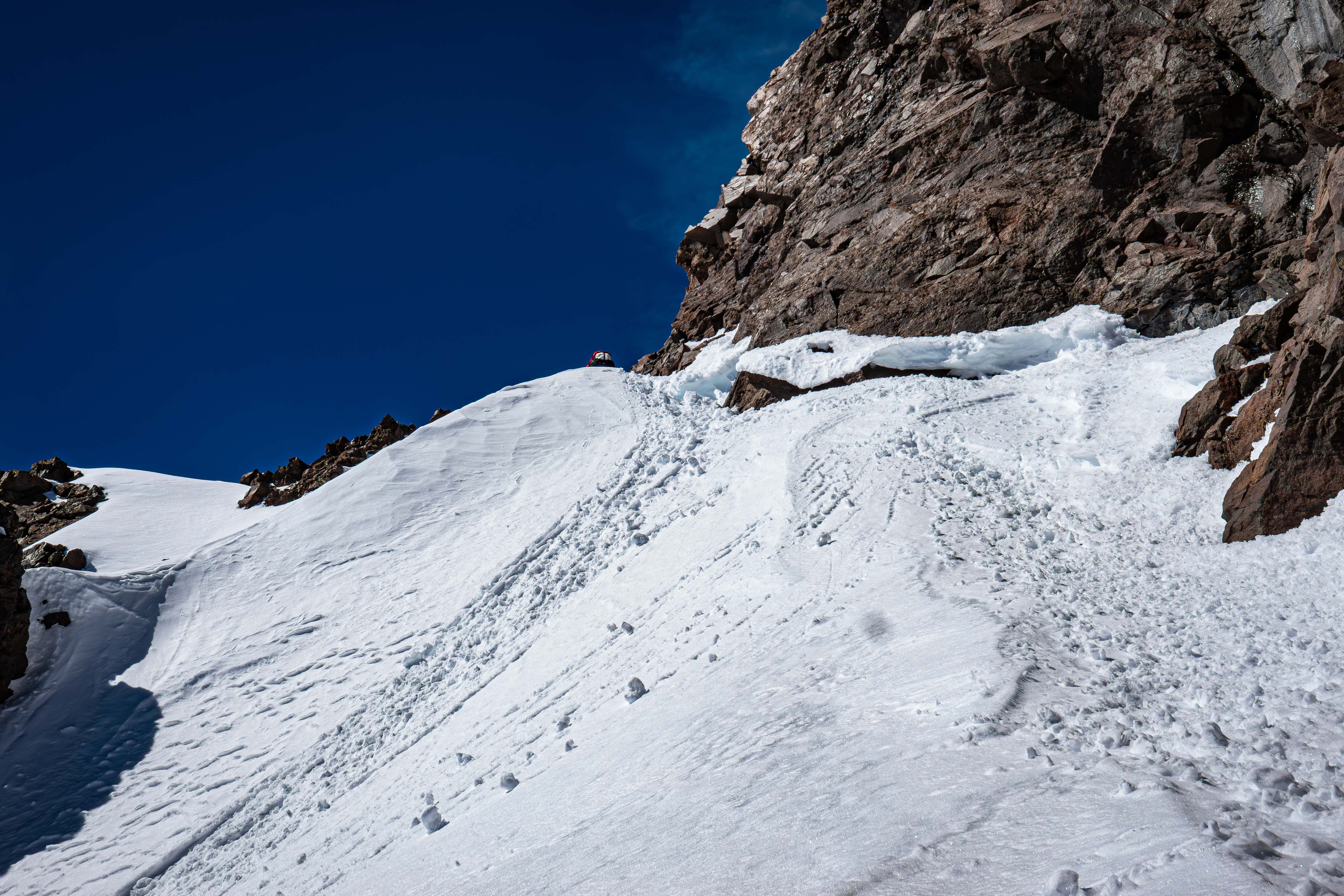
The cornice I chopped through (photo from the way down)
After the cornice part, we climbed straight up more steep snow, and eventually took a right onto the rock. It was then a bit of snowy scrambling to obtain the summit ridge.
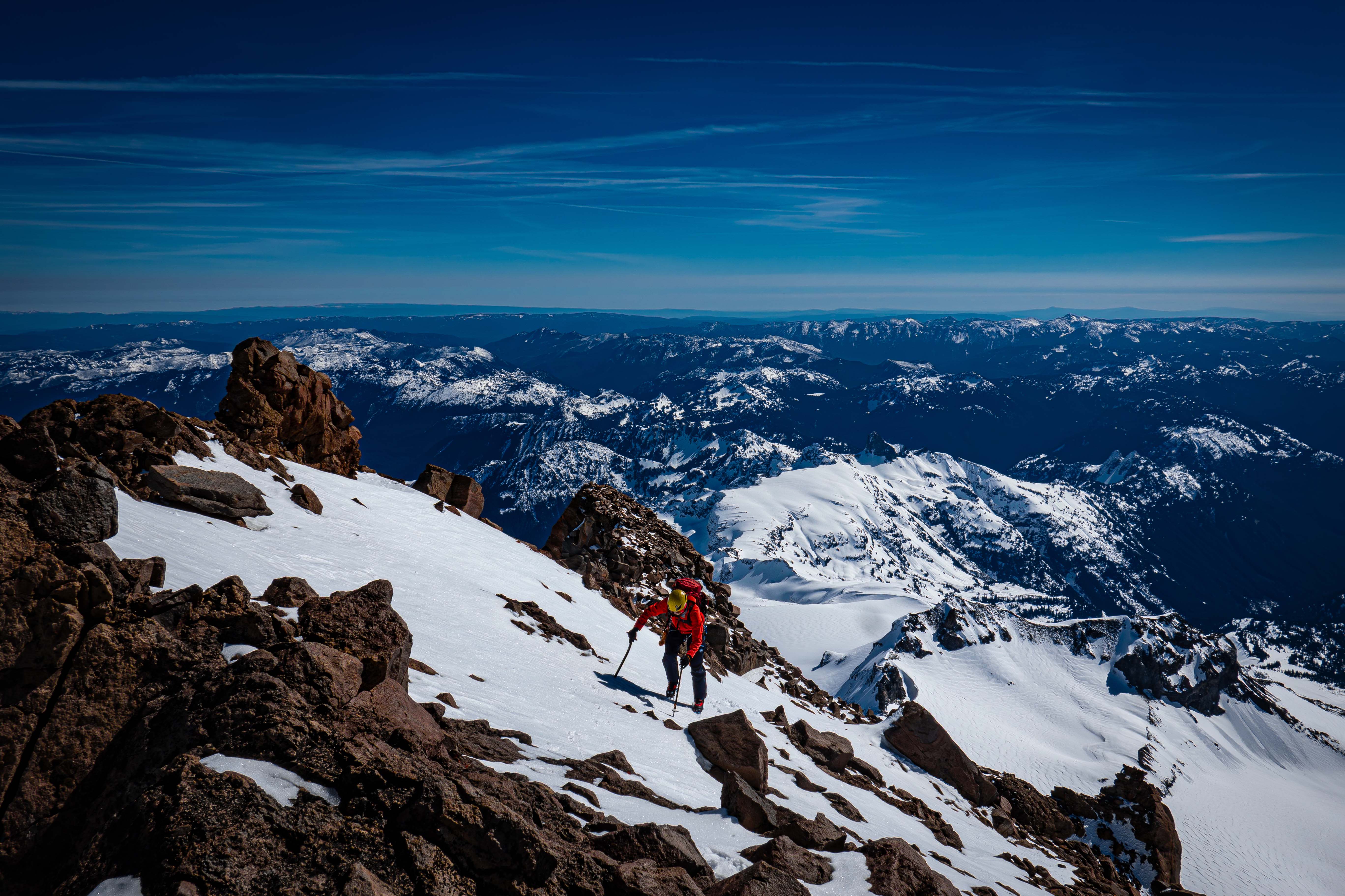
My partner almost to the ridge
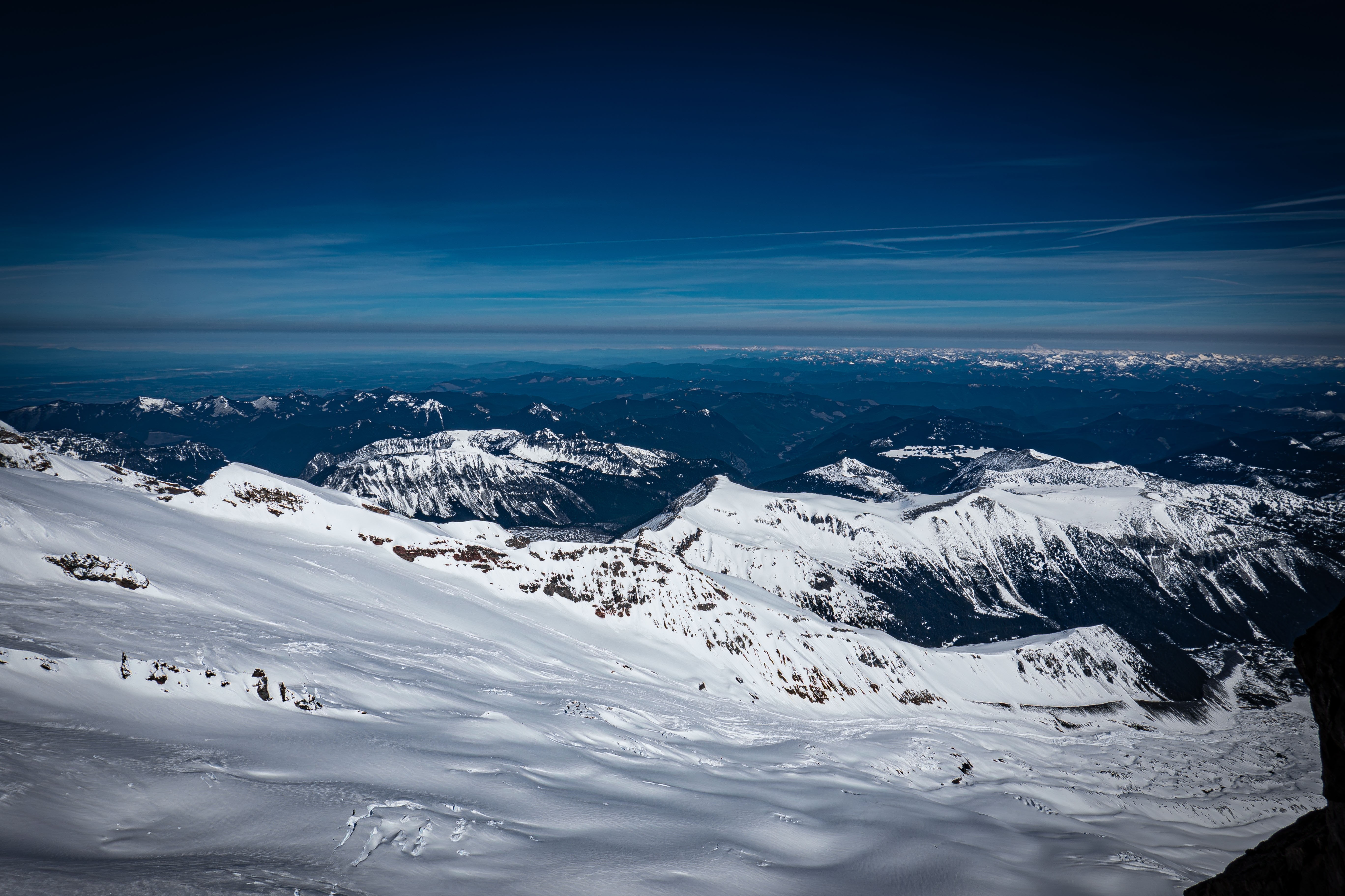
Looking out over the Emmons Glacier from the ridge
We scrambled across the summit ridge to right before the summit block. Coming into the trip, we had expected the entire summit to be covered in snow and rime considering the time of year; however, the summit block itself only had snow in the normal gully route.
Since the normal easy class 4 gully was out, we decided to try and climb the right side of the block. I ditched my axes and climbed down to the base of the summit block. I had brought a rack of small cams and nuts, but once I got to the base, I decided to just free climb.
This alternative route was definitely harder than the normal gully, but I'd still call it just class 4. However, it was much more exposed; the drop was straight off the north face down 1400' to the Emmons Glacier.
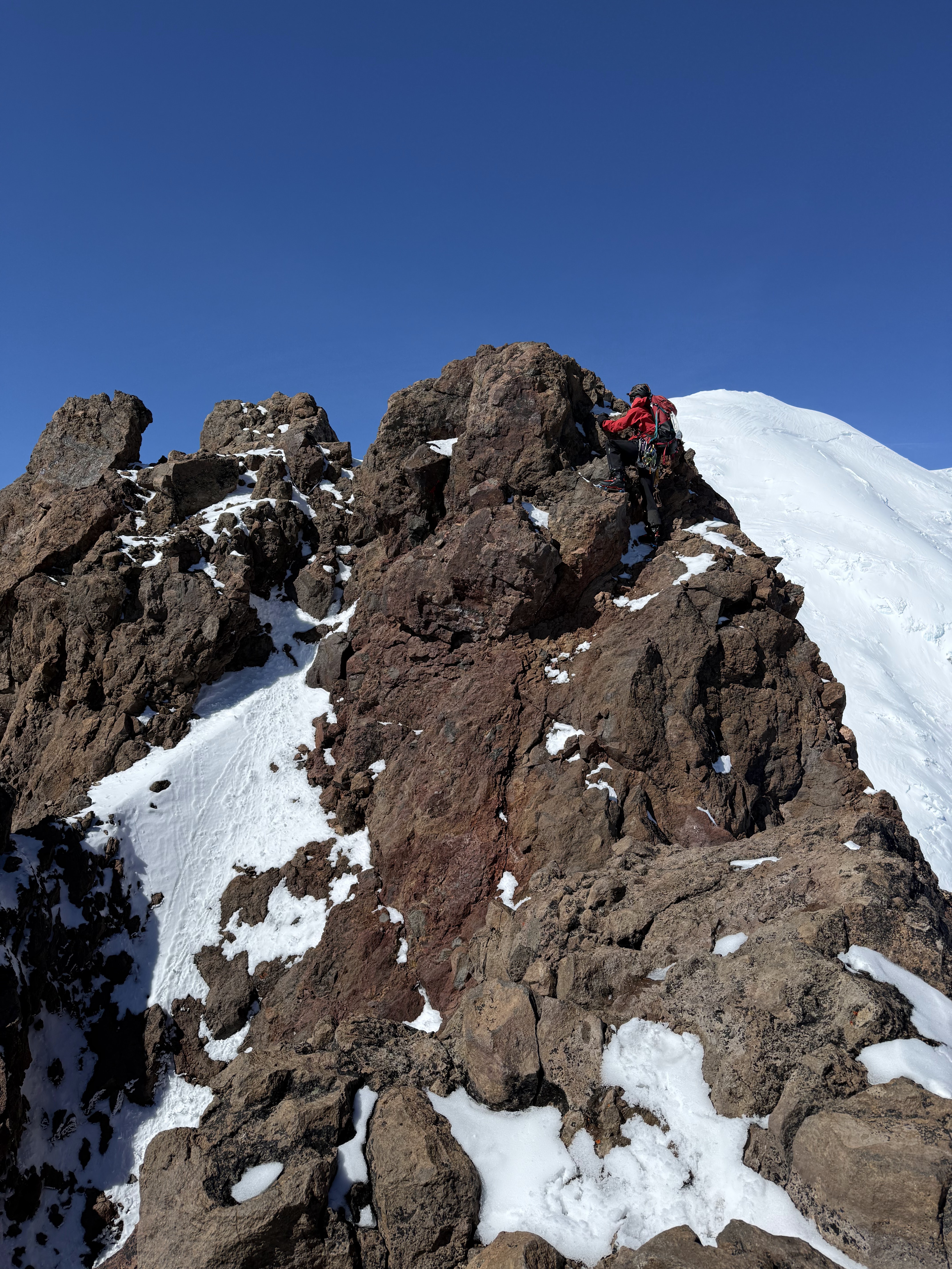
Free climbing the alternative route — already past the crux
I made it to the top to realize I still needed to climb down a bit and then back up to get the true summit. The step down to the true summit was a little sketch with the same cliff looming on the right side.
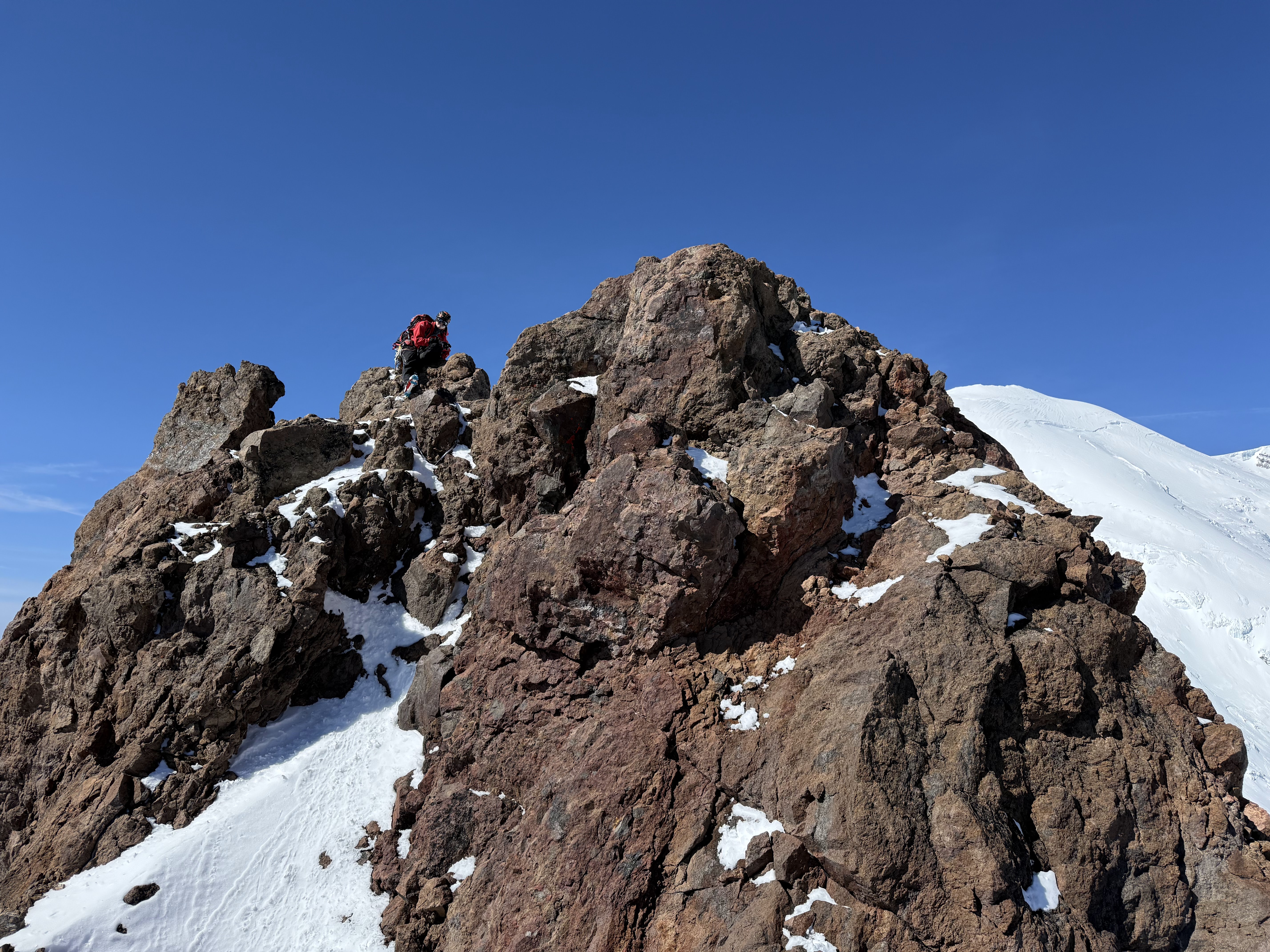
On the true summit
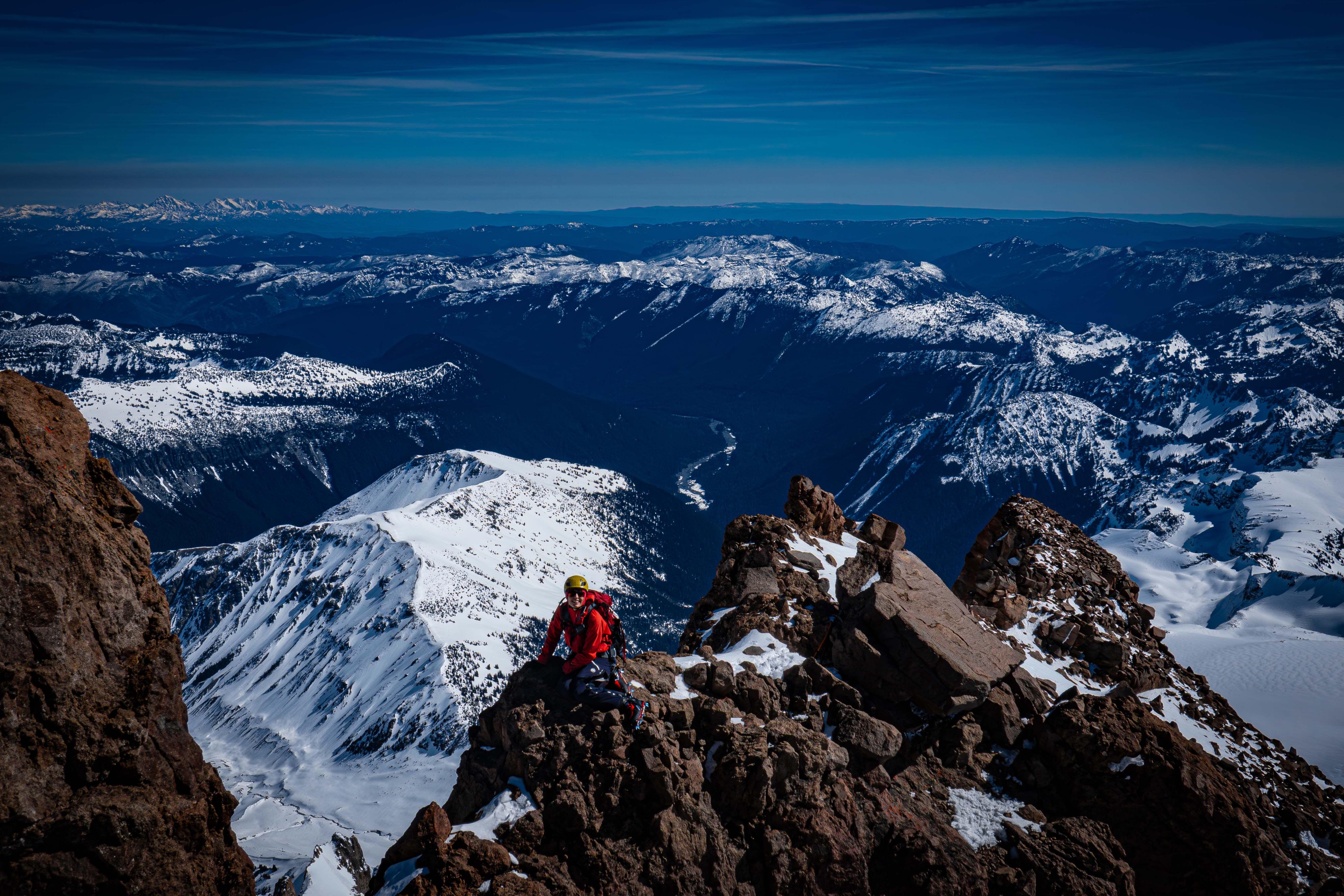
My partner on the ridge before the summit block
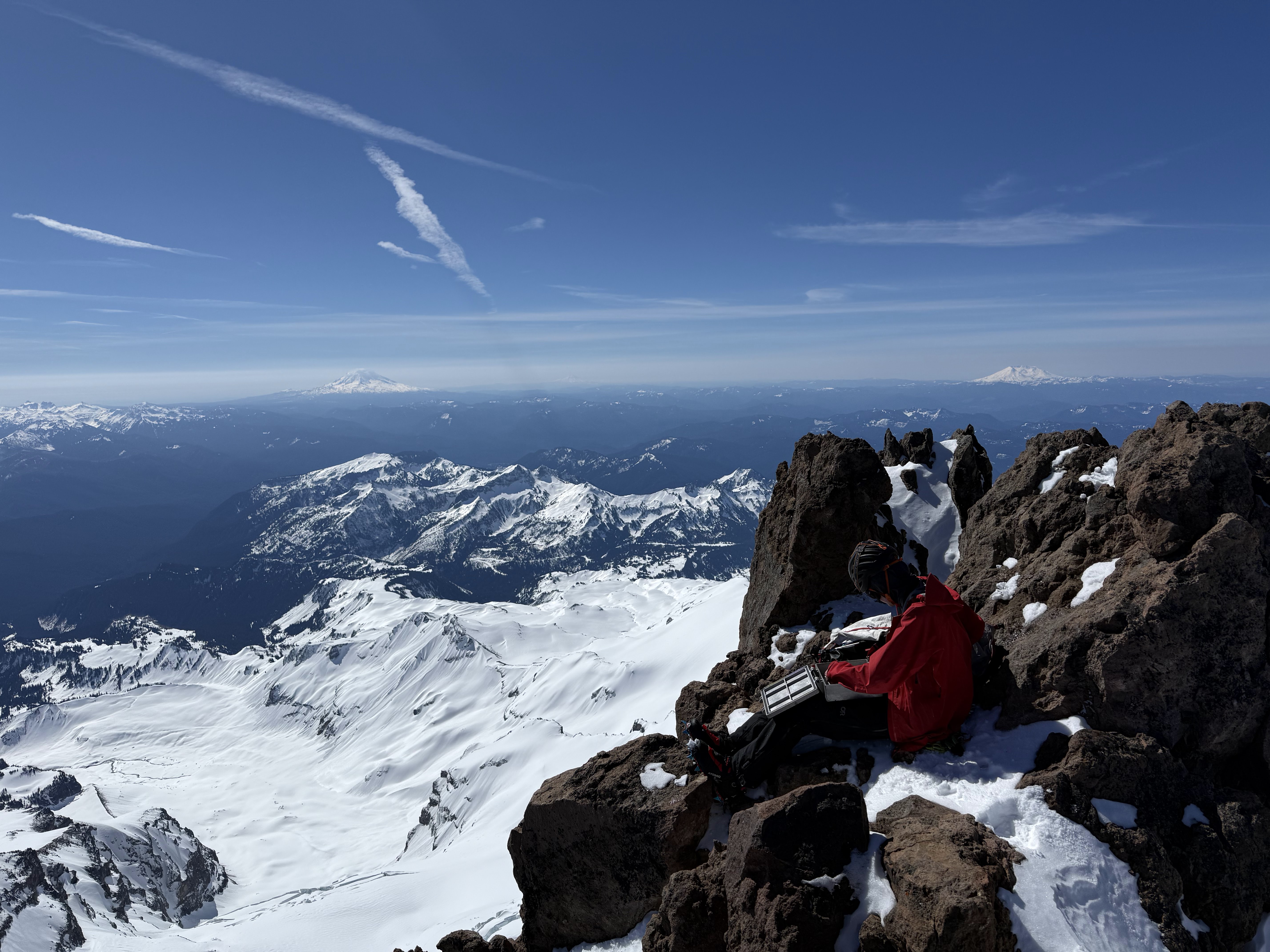
On the summit checking out the cool register
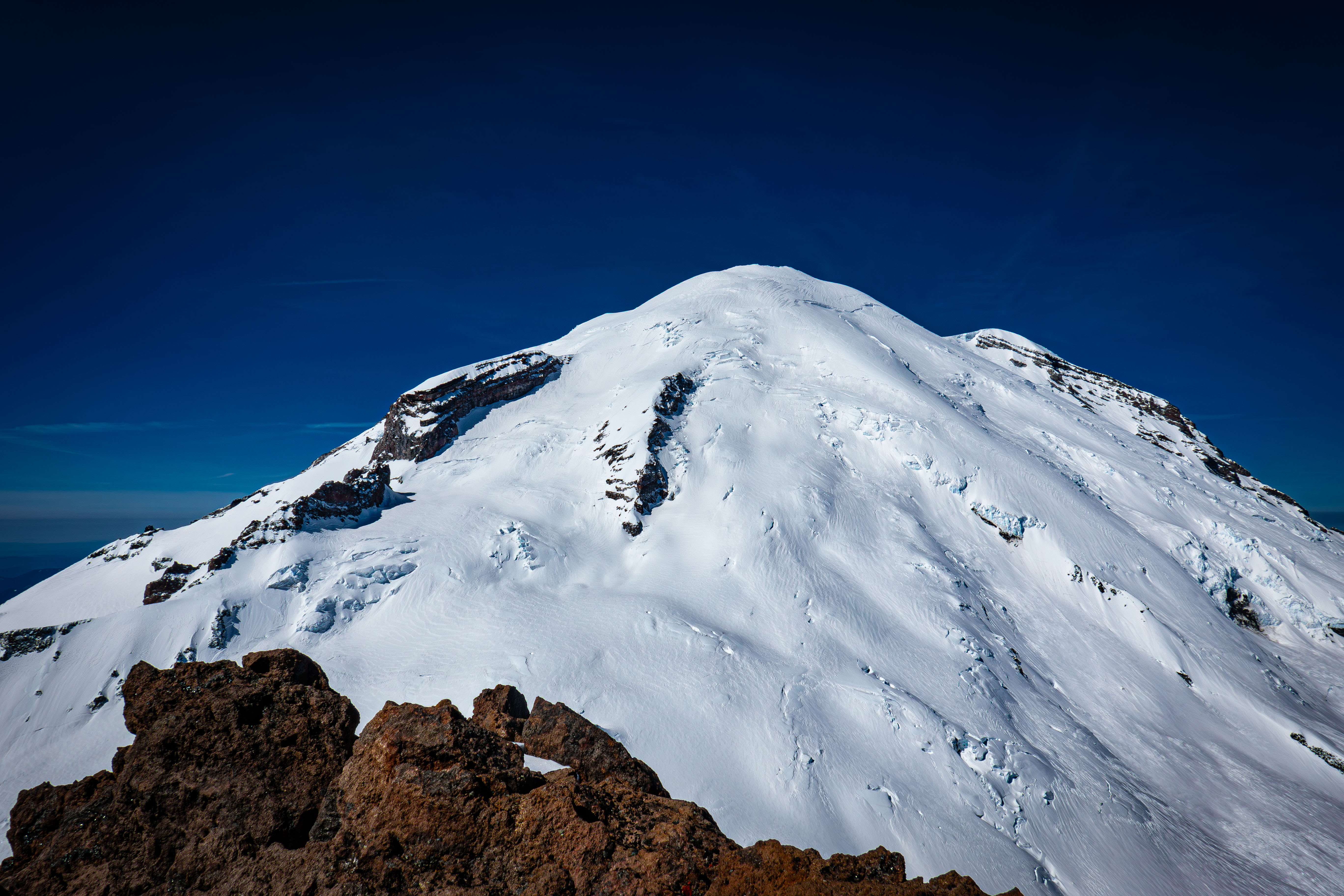
Big Tahoma from Little Tahoma
We decided to rappel the summit block since the route we took up was very chossy, which wasn't a good combo with the exposure. Being in ski boots with pons wasn't helping our rock climbing ability.
We looked at rapping the route we climbed, but then I saw a somewhat new sling around a rock just below the true summit. I added my own quad sling and added a locker to ensure a good rope pull. Rapping down the gully was a little akward and traversy, but it was a lot safer than downclimbing.
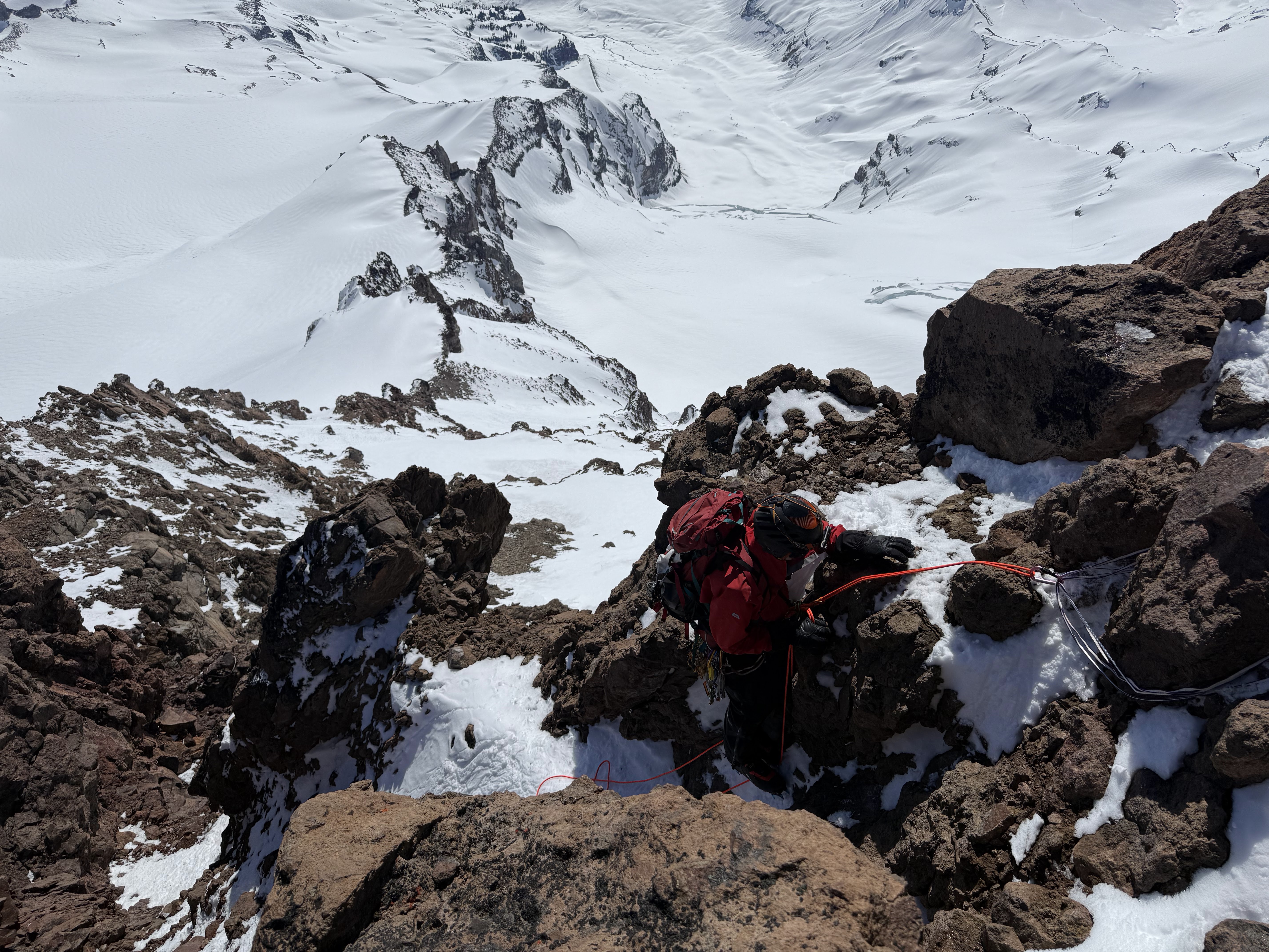
Rappeling down the standard gully route
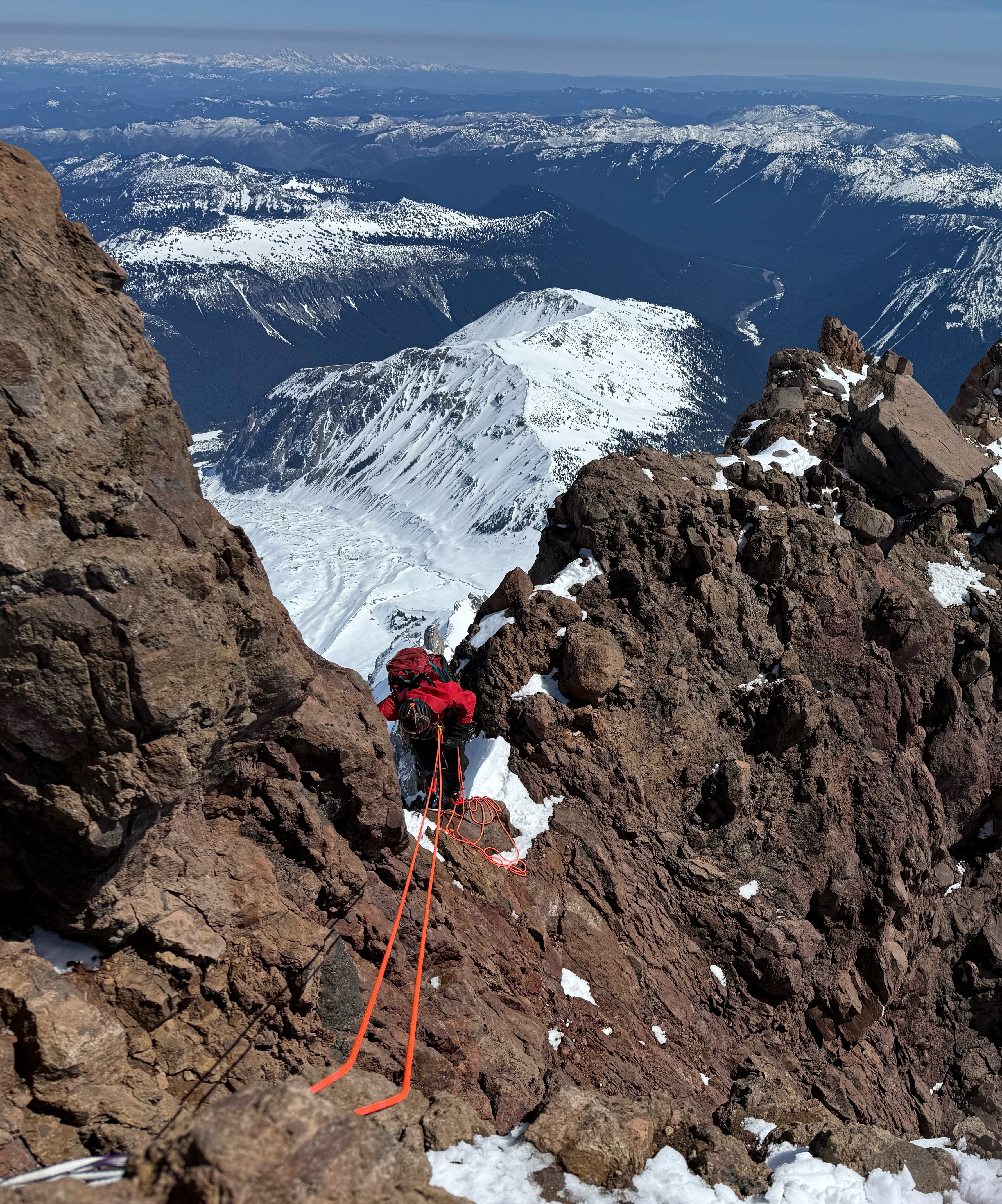
Back to the ledge
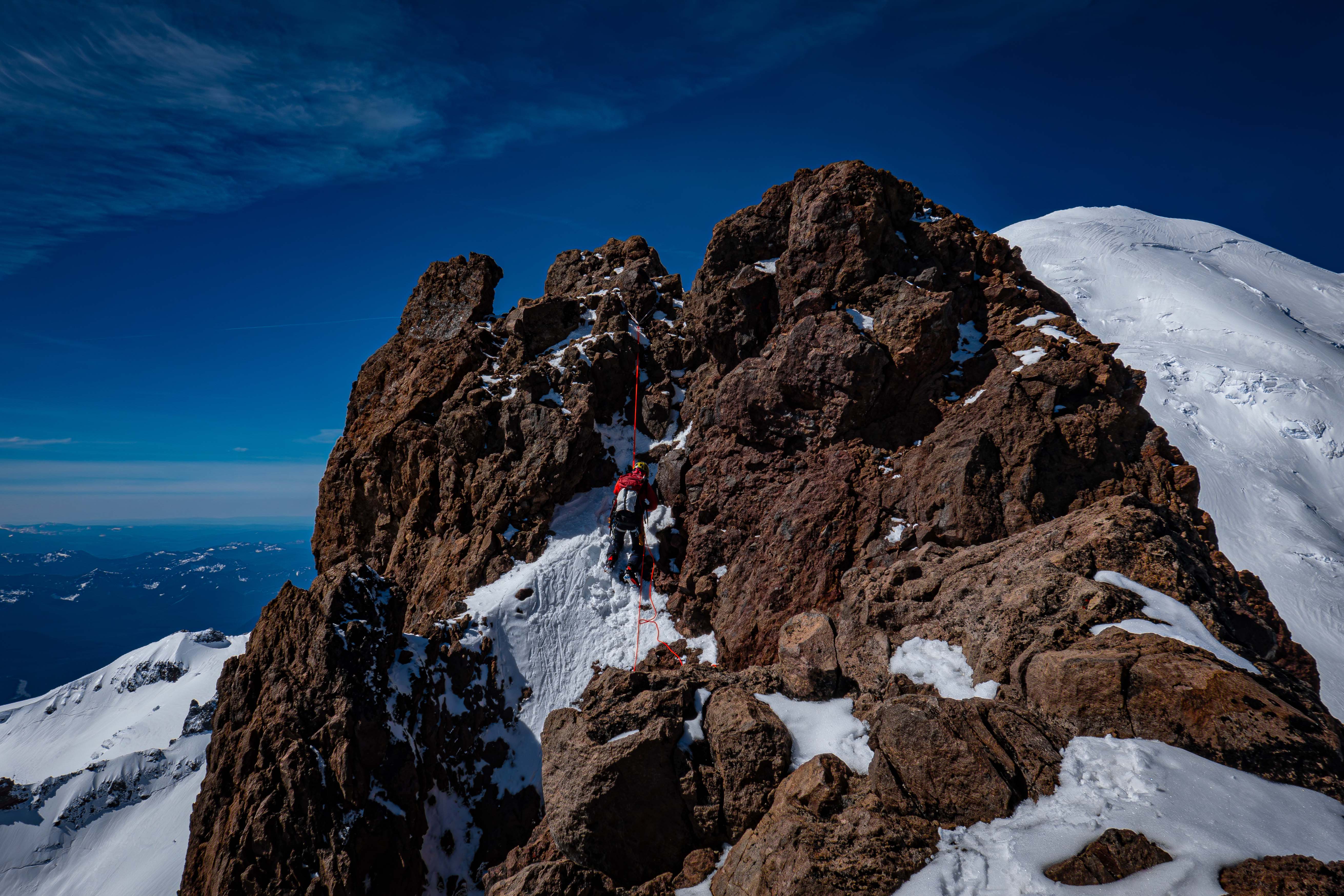
My partner rappeling the gully
We then downclimbed the rest of the route back to our skis at 10,300'. We skied down the Whitman to just above the steep cliff band we traversed on the way up. We utilized the snow wall section we'd seen on the way up to ski directly to camp. The snow wall was the crux of the skiing at around 50 degrees, with a hard cut right on a 35-40 degree slope to traverse back to camp.
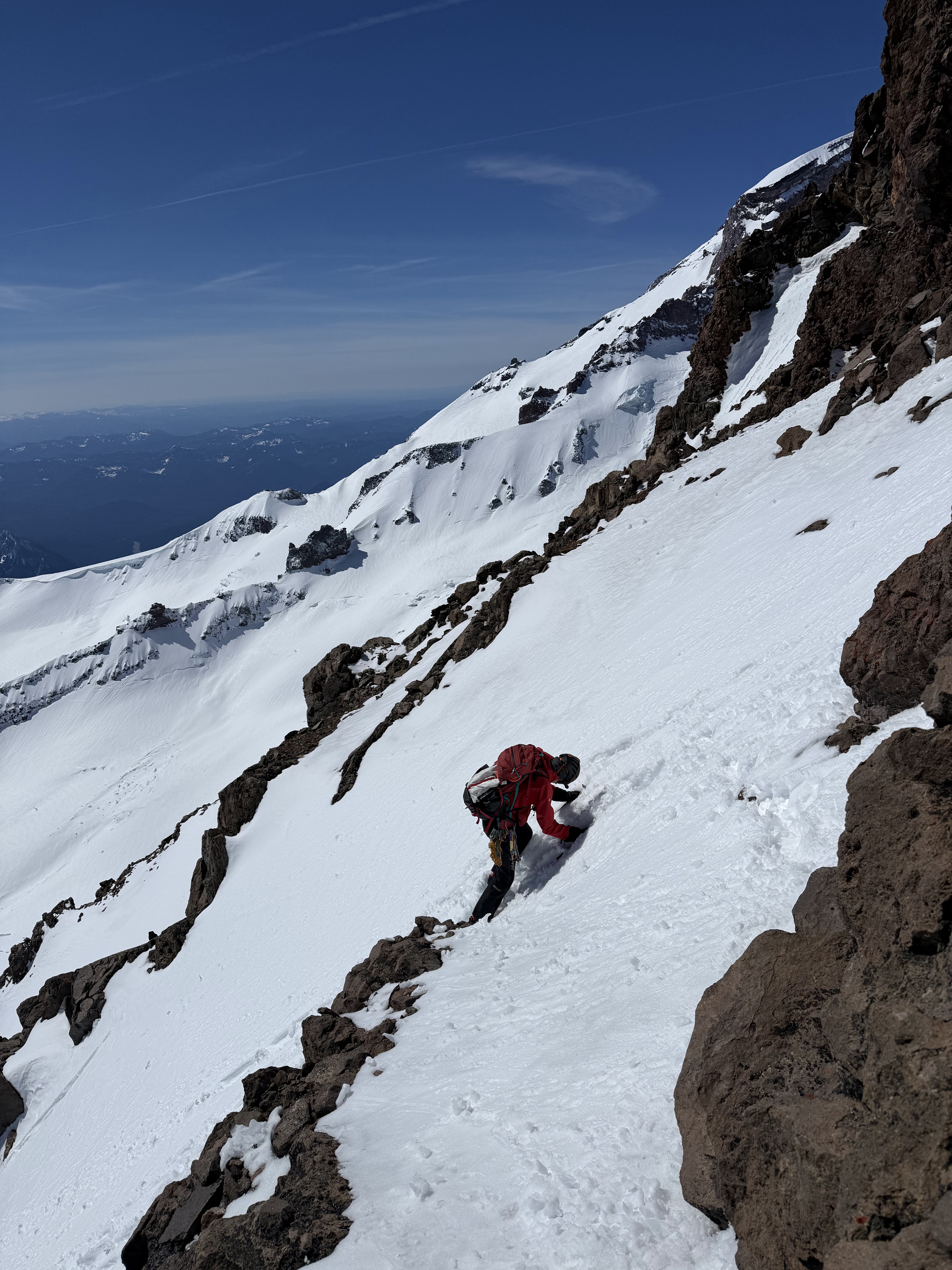
Just off the rocks
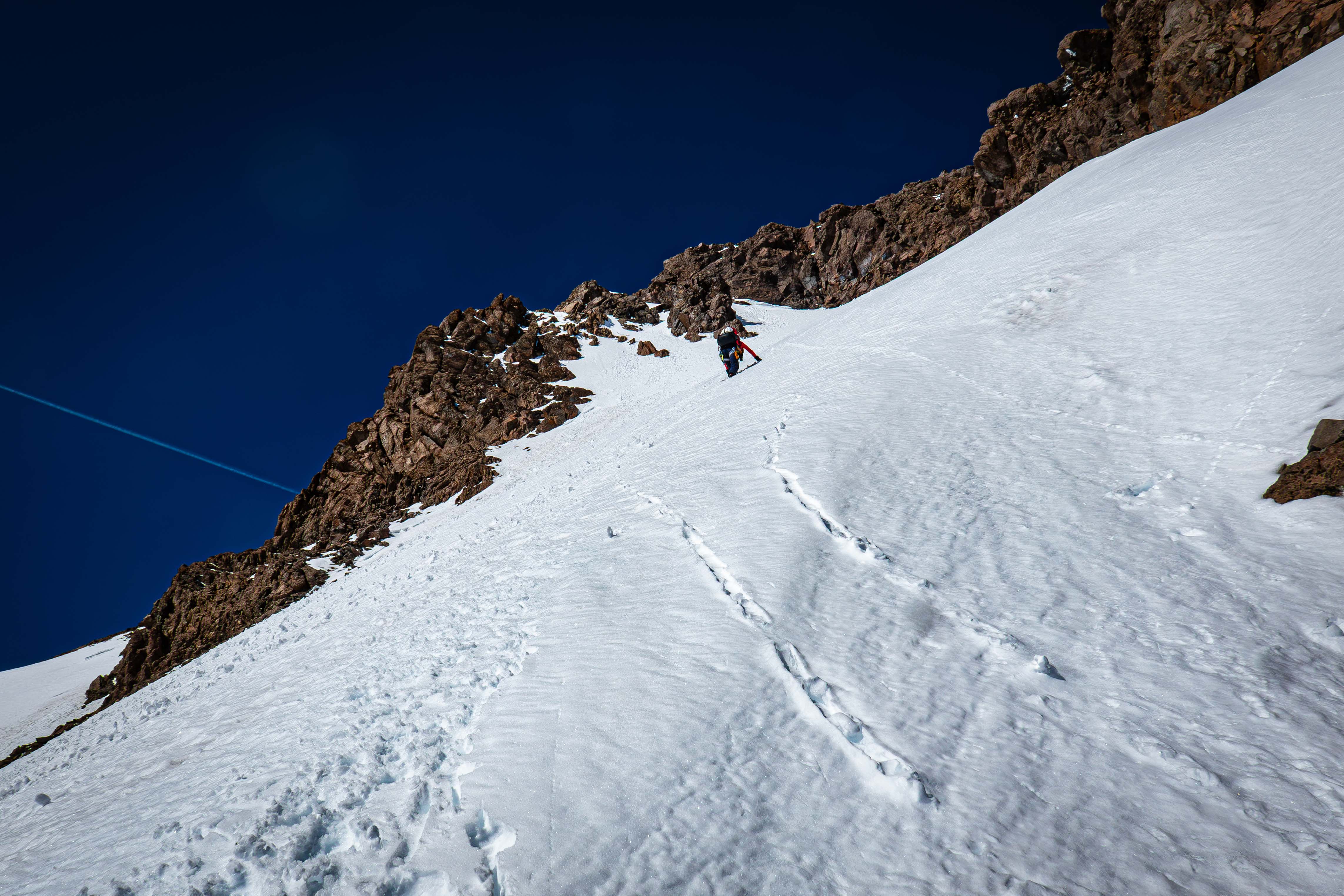
Downclimbing to the notch at 10,800'
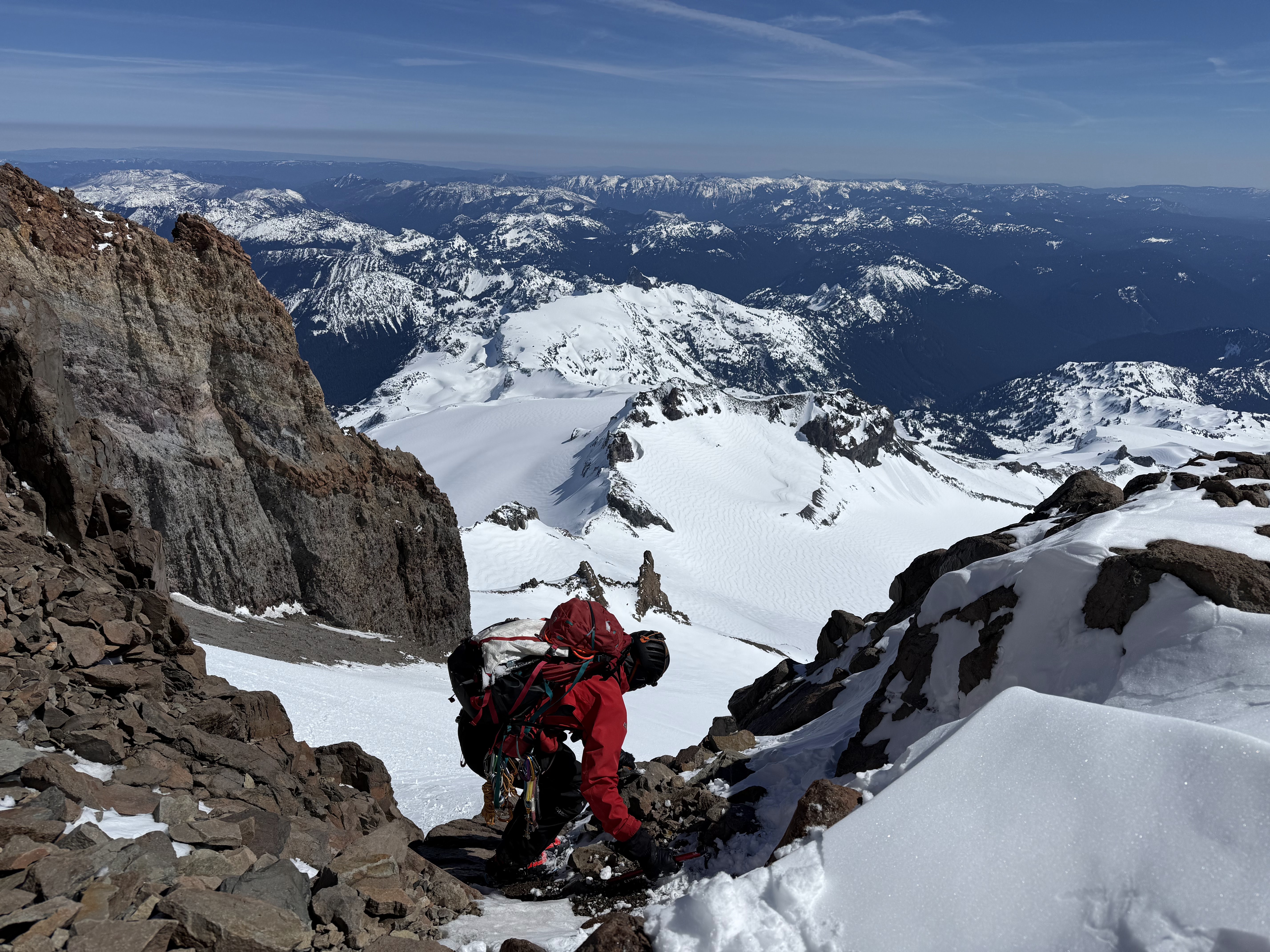
Approaching the class 5 step
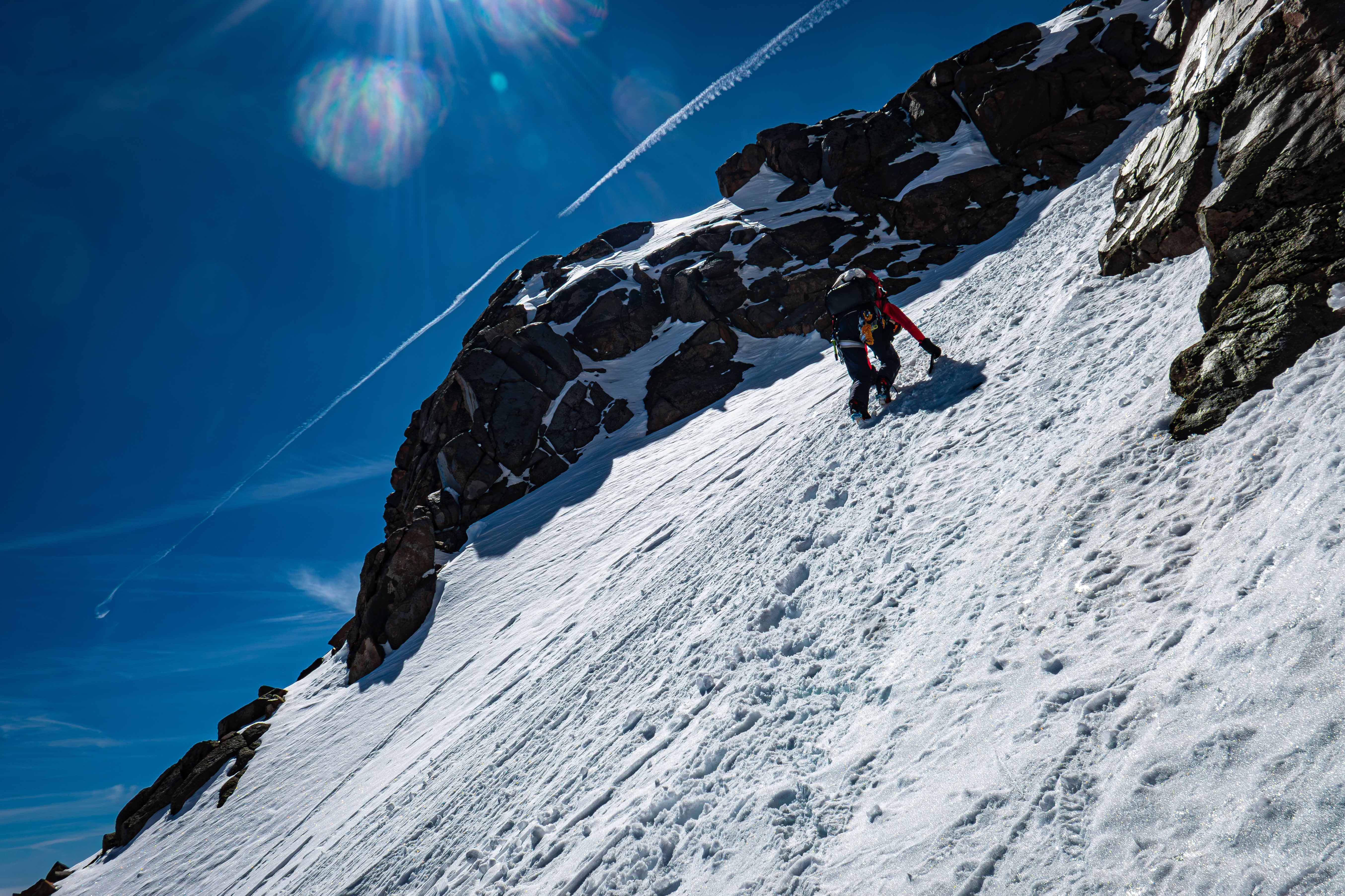
Downclimbing the steep snow below the notch
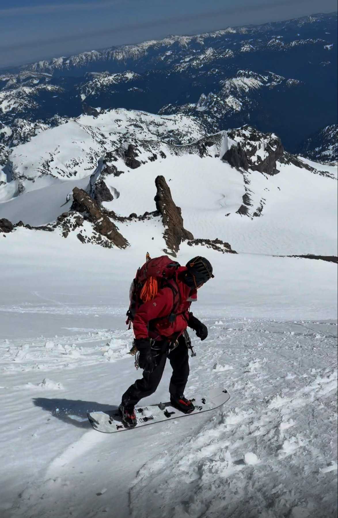
Boarding down from 10,300'
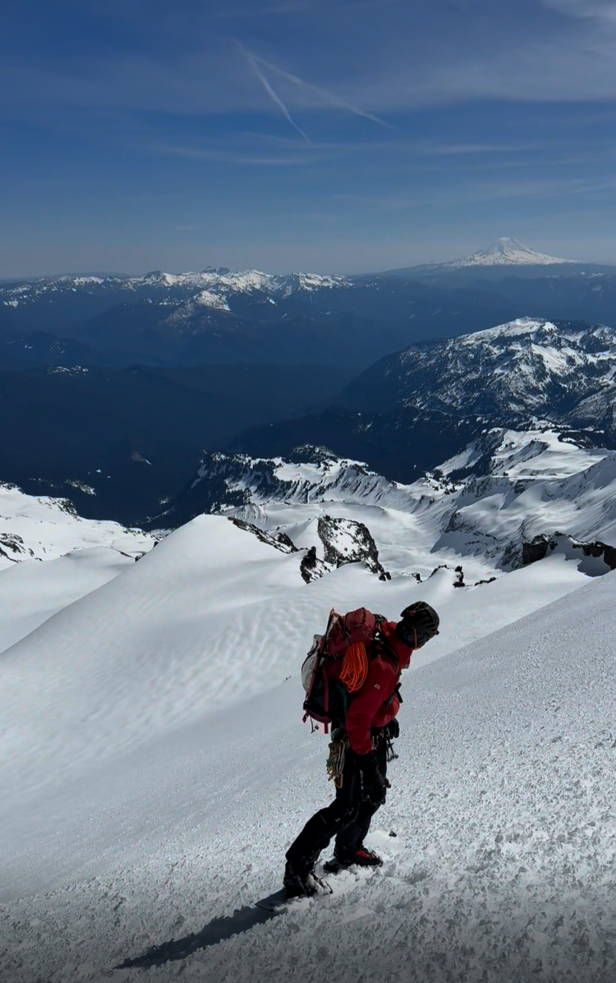
Looking for the best line down
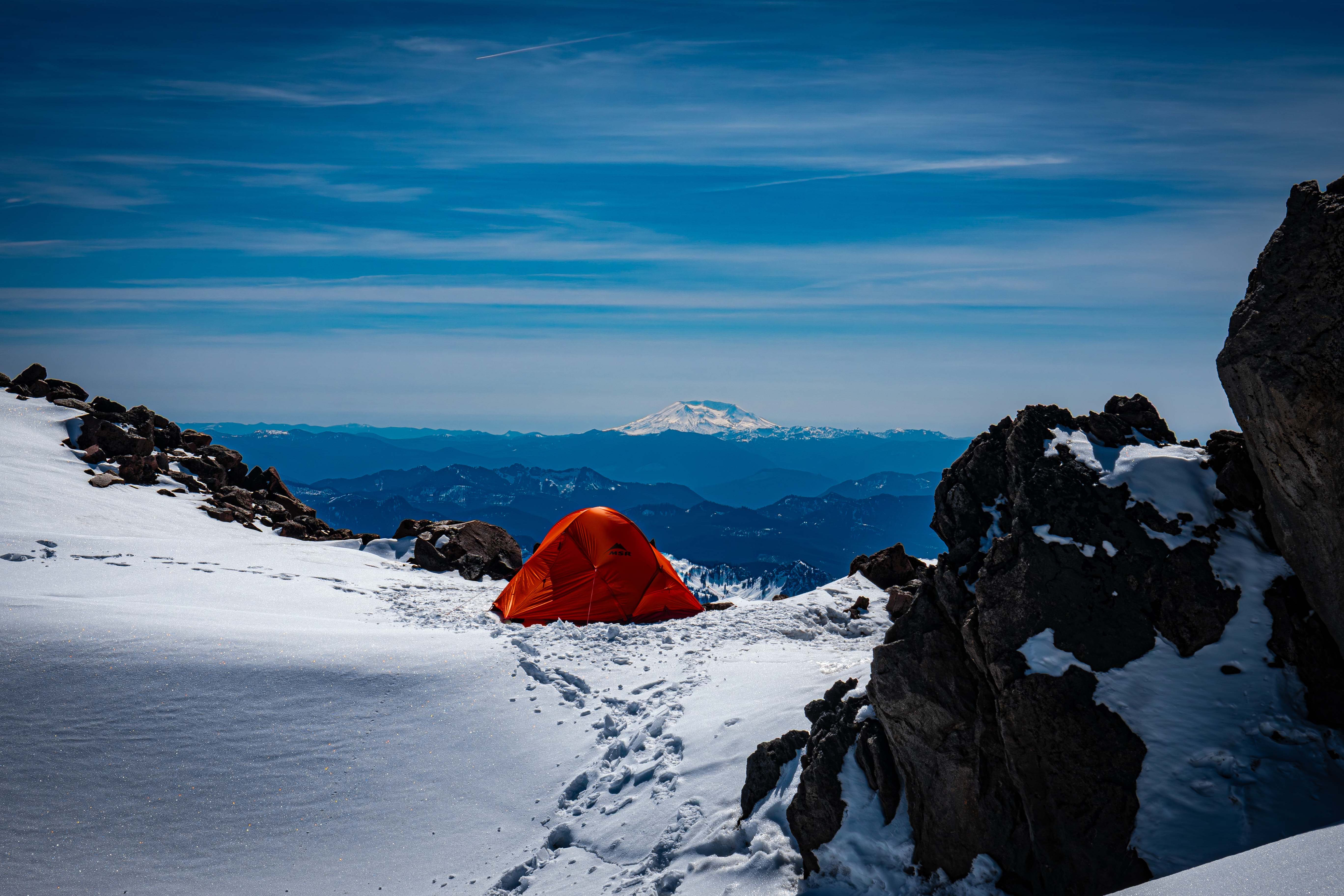
Back to camp
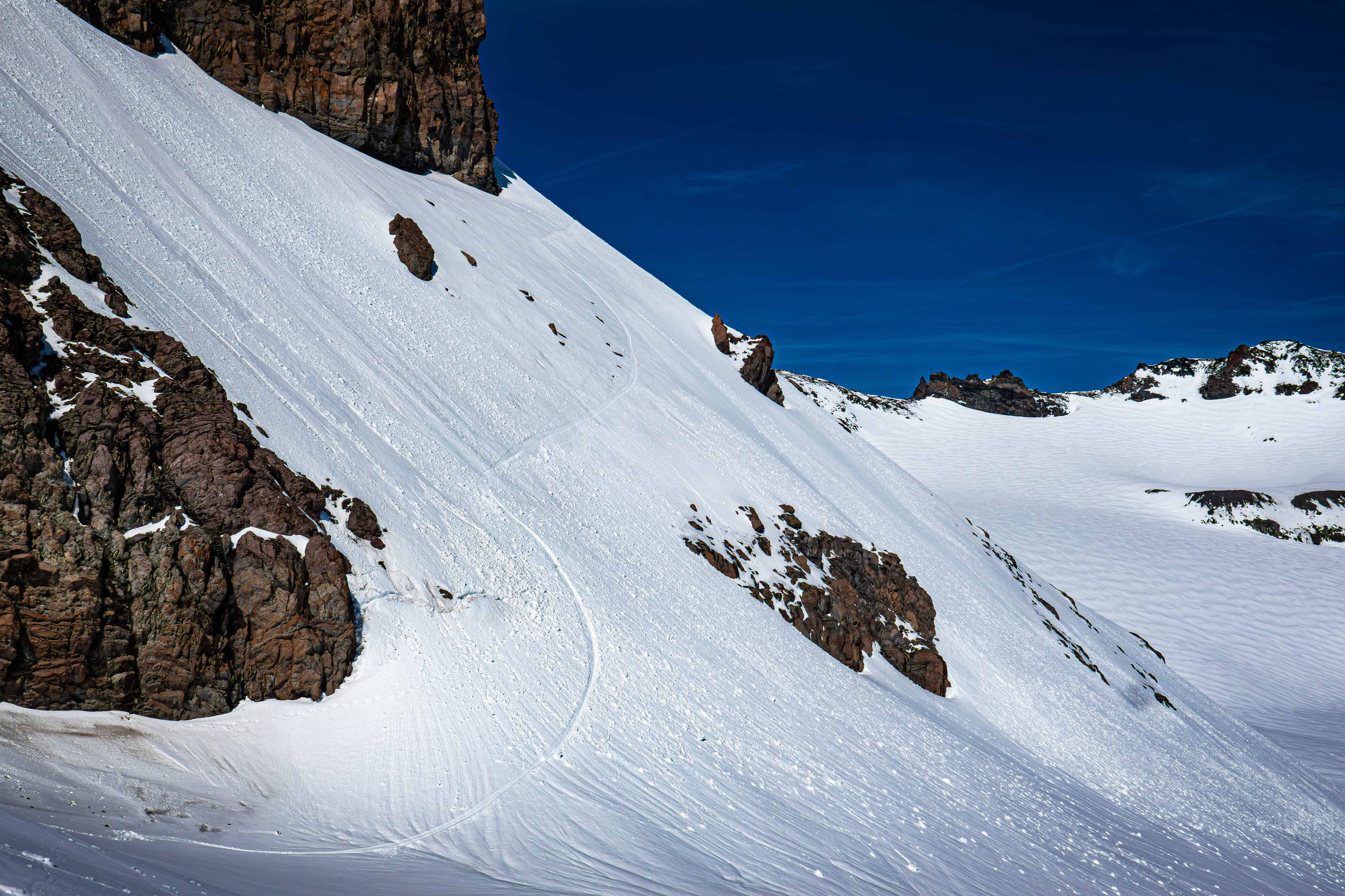
My traversy line down to camp
We then packed up camp and started down the rocky ridge to the Ingraham Glacier. I only went down 40 vert before hoping on my board to head down on the highest snow patch. My partner wasn't able to pop on since the slope was over 45 degrees, so they downclimbed farther down to where the slope mellowed out. We skied farther down to 8300' from where our traverse line was at 8500'. This avoided the sketchy crevasse and some steep parts of the traverse.
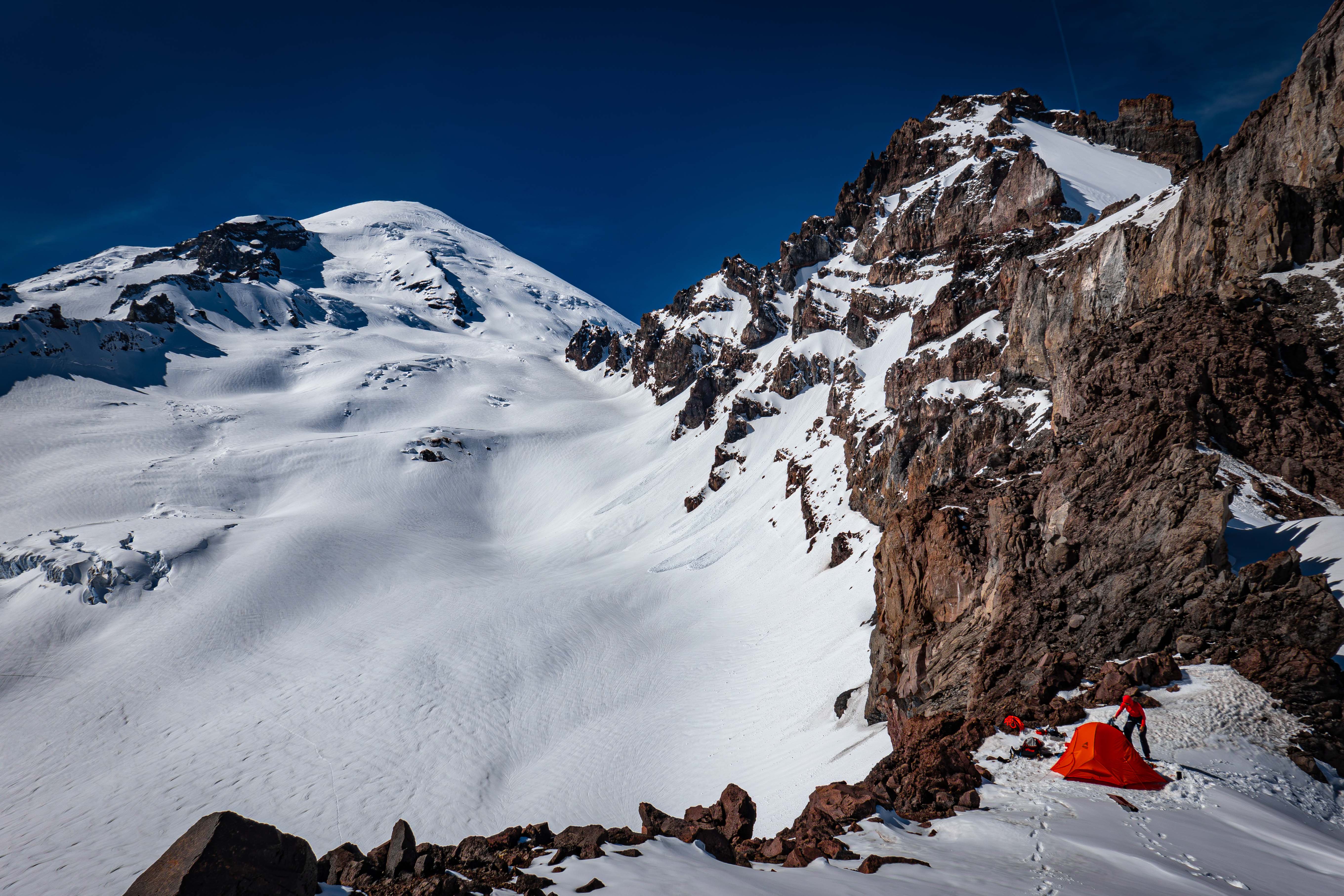
Packing up camp
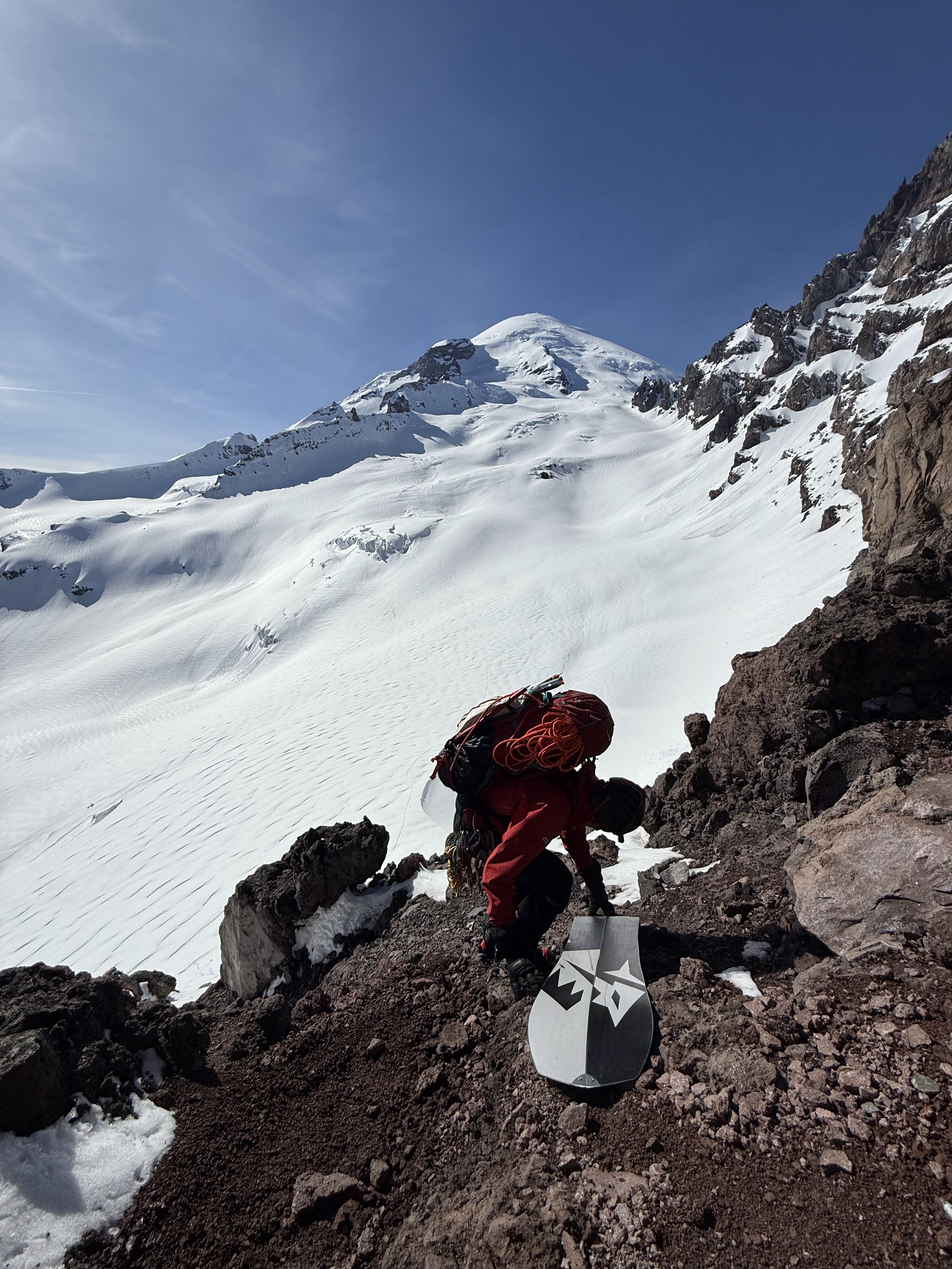
Slowly climbing down the rocky ridge
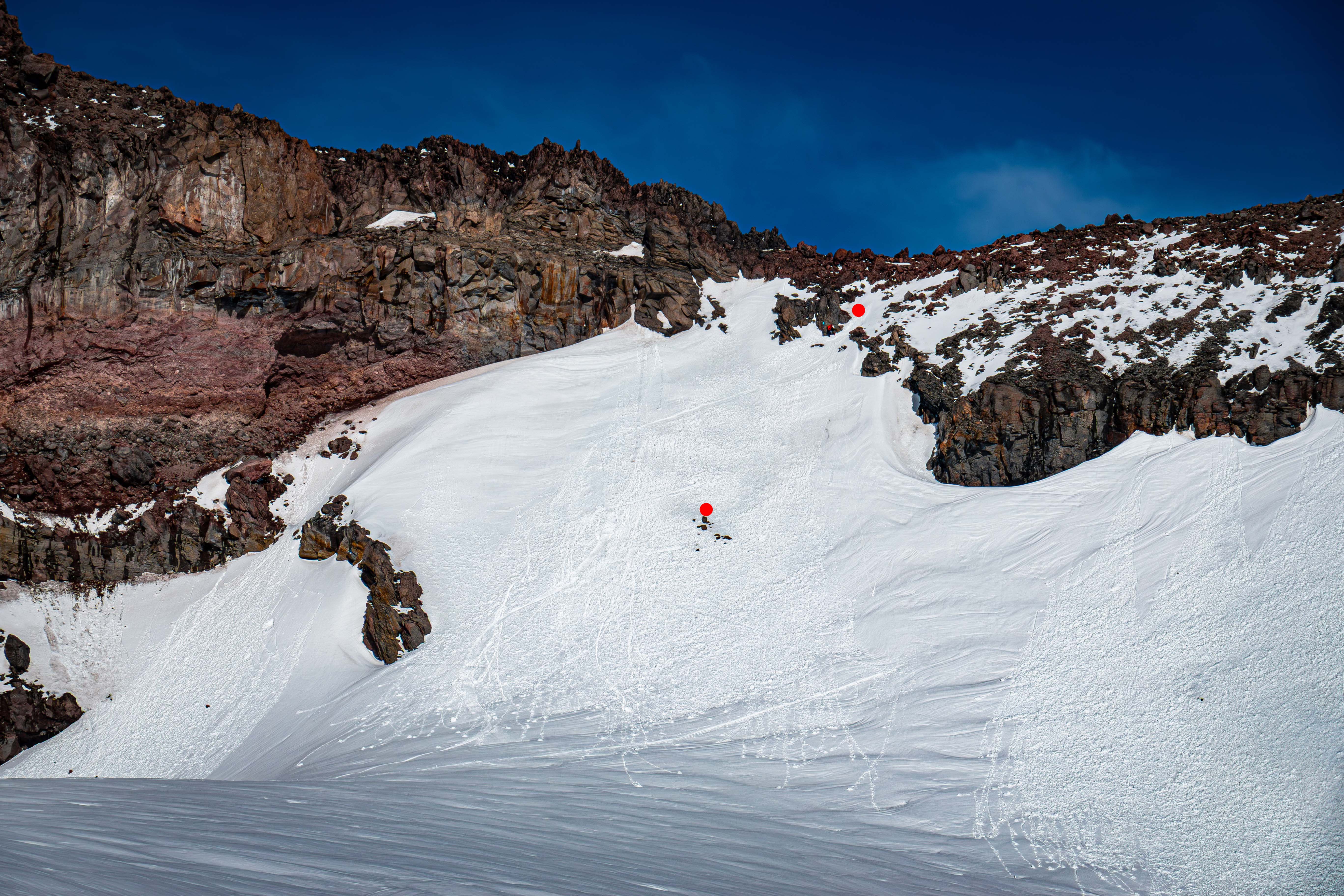
I skied from the upper red dot, but my partner couldn't pop on till the lower dot.
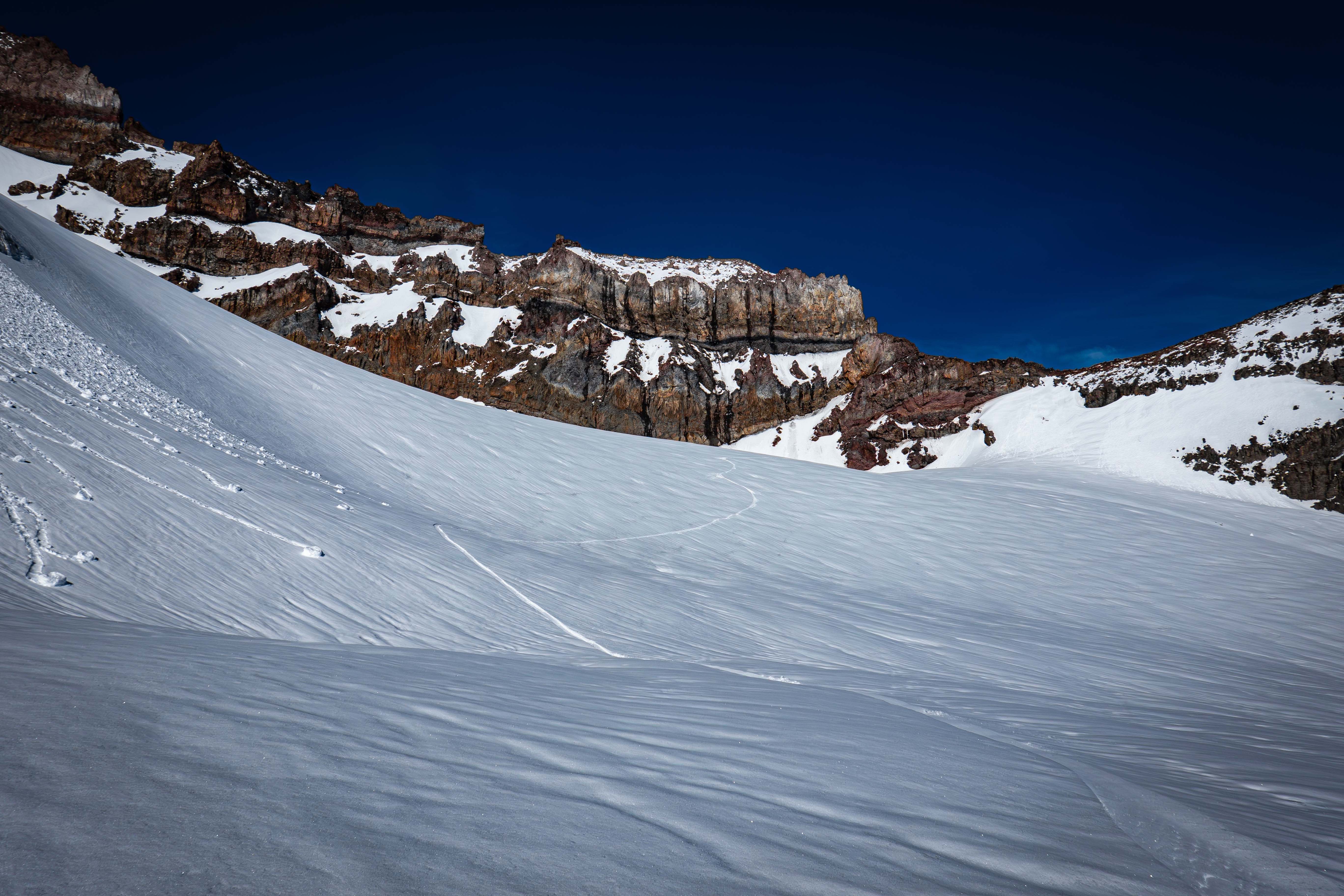
Boarding down the Ingraham Glacier to a flat area at 8300'
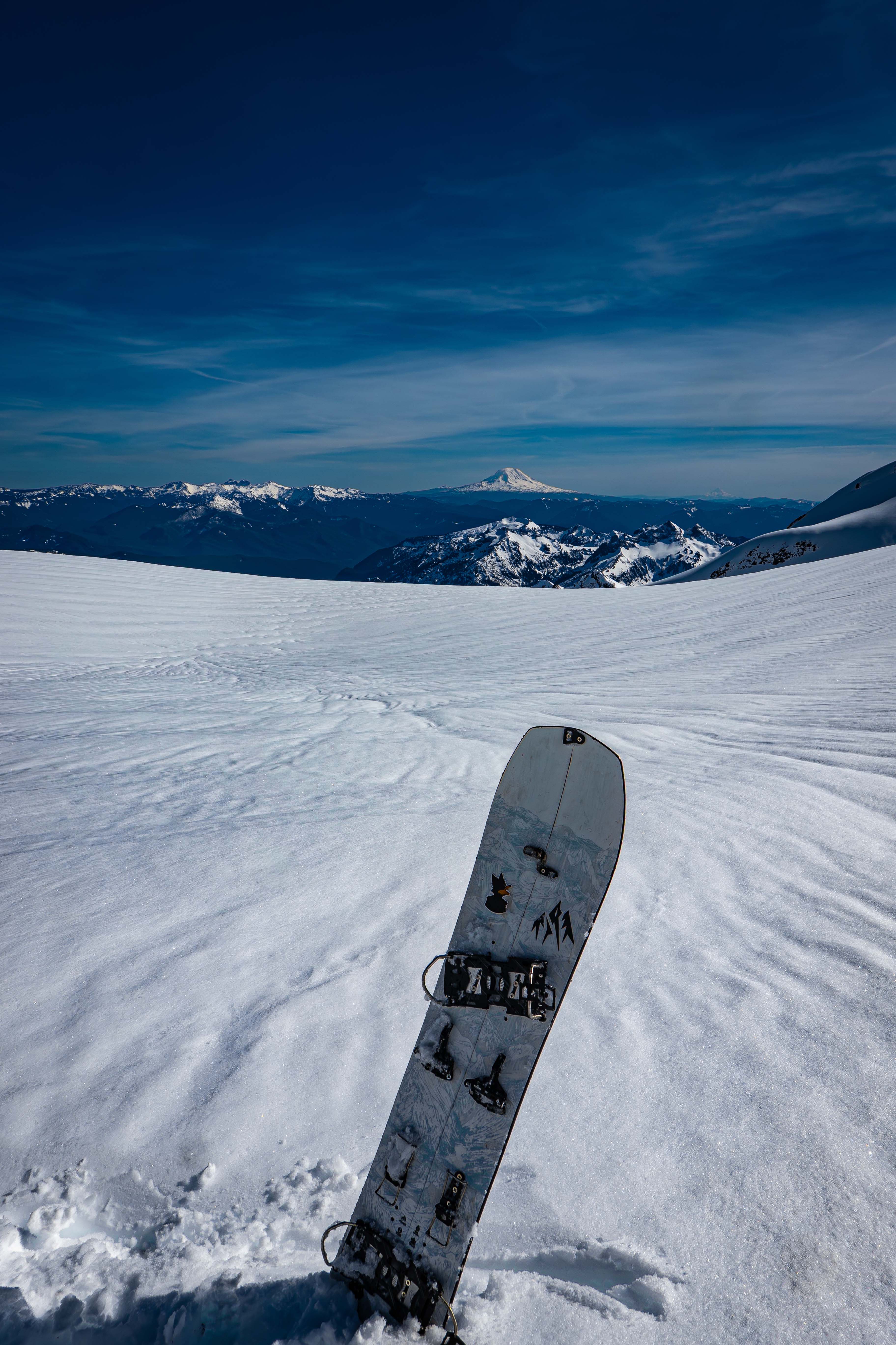
On the Ingraham by the flat area at 8300'
We skinned up from 8300' to the ridge at 8550' separating the Ingraham and the Cowlitz. We climbed down the rock on the other side and then skinned our track back across the Cowlitz and Paradise Glaciers. Around 8670', we left our track to traverse the slope instead of skinning downhill. The original plan was to ski the Paradise Glacier down, but it was so late in the day that it was very crusted due to being in the shade. So instead, we kept traversing towards the Muir Snowfield, which was still under sunlight.
We got off the Paradise Glacier at 8770', slightly higher than we started. We skied down from there on the Muir Snowfield. The snowfield was choppy due to lots of old ski lines, but it was much less icy than the Paradise Glacier. Since the Longmire gate was already long closed, and my partner was struggling to ski, we decided to camp below McClure Rock and ski out to Paradise early the next day.
The next day at 9, I walked up to McClure Rock and then boarded down from 7400' to Paradise. The snow was much icier than the night prior. It was by far the shortest ski day I've ever had at only 30 mins, half of which just being walking around on McClure Rock.
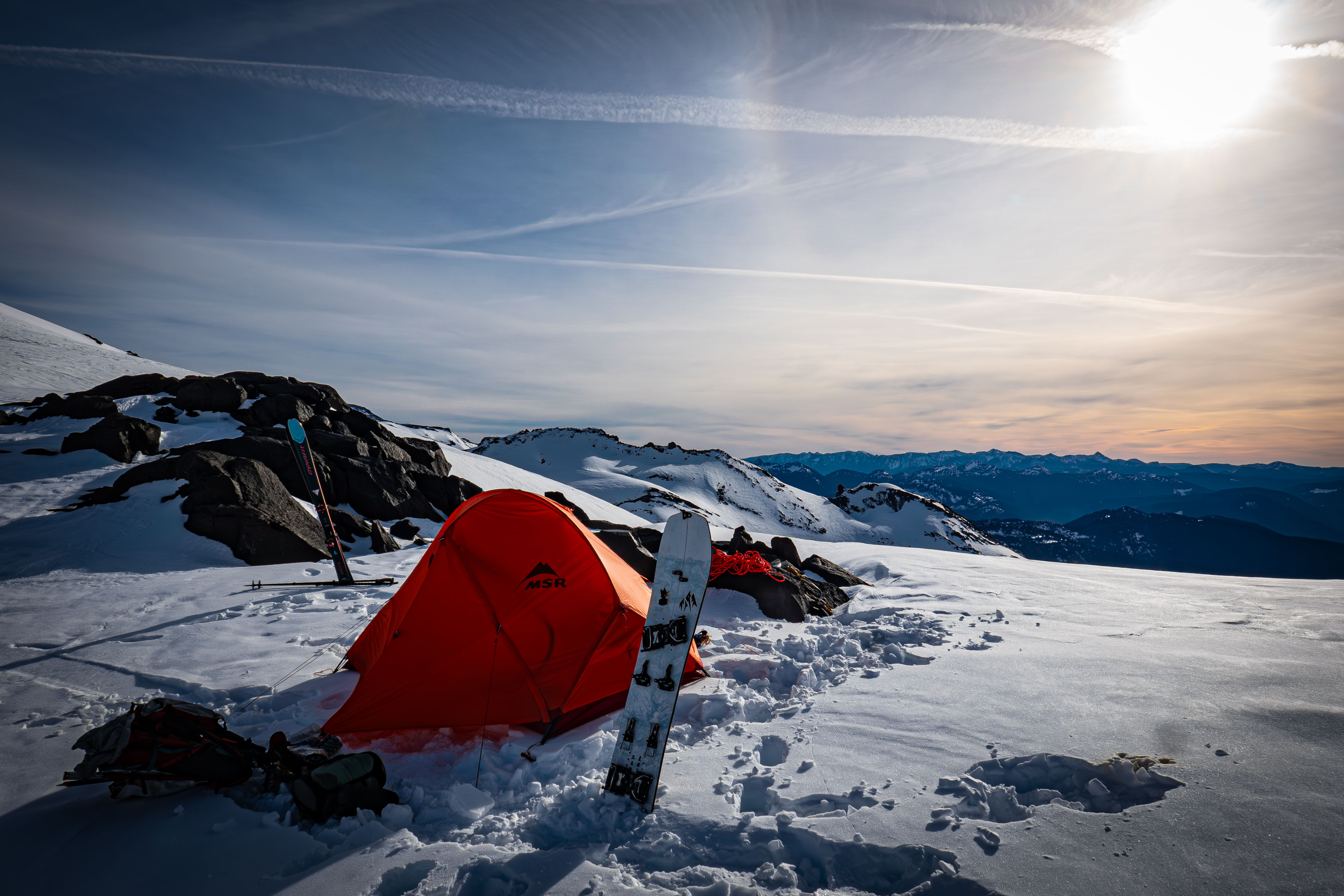
Our camp below McClure Rock
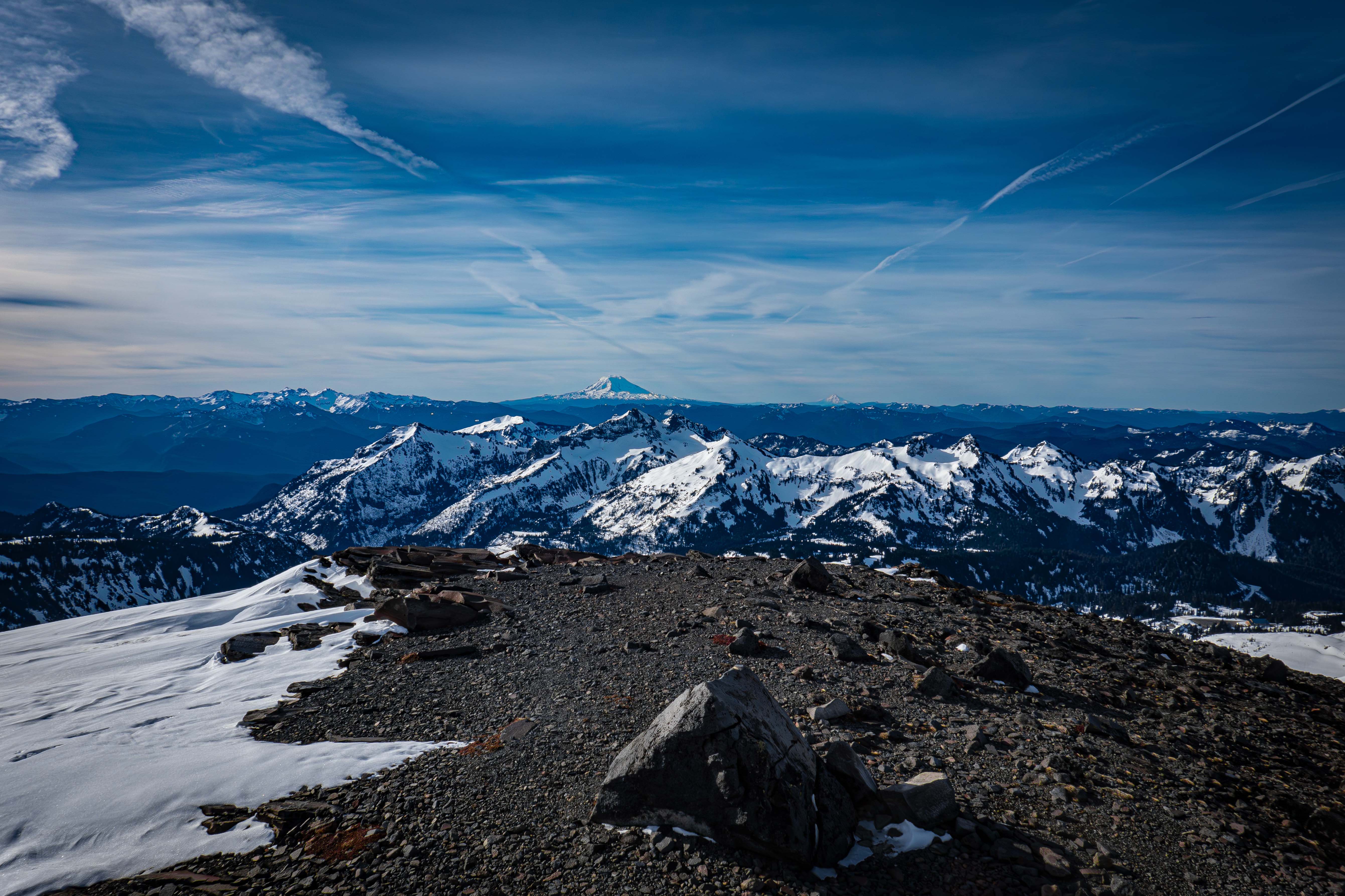
On McClure Rock
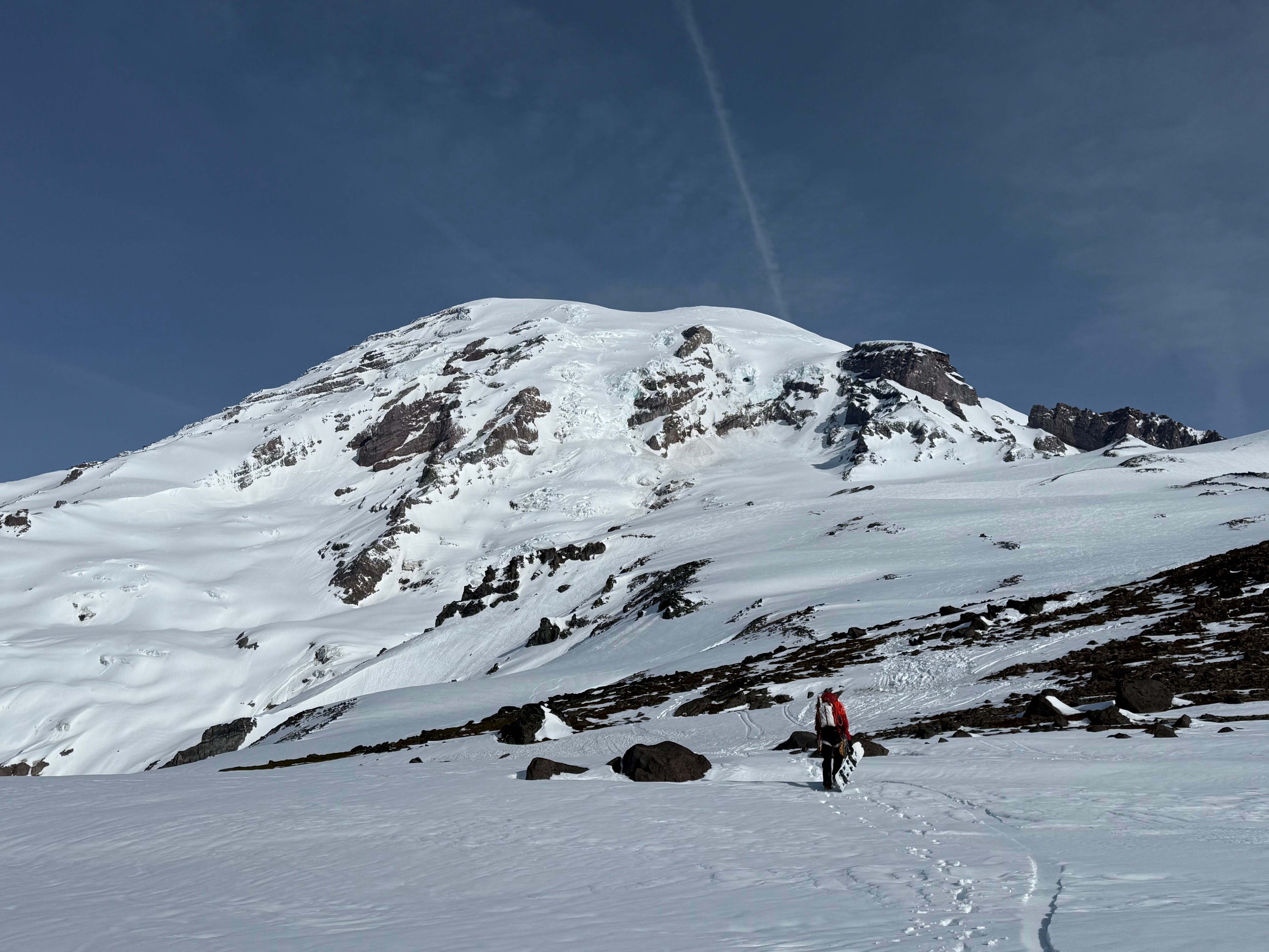
About to head down to Paradise